Scotland’s Oldest Bridges.
A map-based catalogue of the oldest masonry bridges in Scotland.
Alphabetical List.
The following layout may be useful if you know only the name of a bridge, but not its location. It is an alphabetical list of all the Scottish bridges that are old (pre 1750), original and still largely intact. They are presented with information, photographs and an ordnance survey reference. These bridges are the ones marked maroon or red on the catalogue map.
A B C D E F G H I J K L M N P Q R S T U W Y
ABBEY BRIDGE Haddington
C.East Lothian R.Tyne 353294,674546
History: Ruins of the abbey mill are adjacent. Inglis dates the bridge from 1440 to 1540. The gothic arches suggest 15th century. A priory was founded very nearby, in 1178, by Ada, Countess of Northumberland, mother of Malcolm IV. The priory developed into a Cistercian nunnery with Abbey. The Scots Parliament met at the Abbey, in 1548, to confirm a treaty with France, whereby the young Mary, Queen of Scots would marry the Dauphin. The Siege of Haddington was taking place less than a mile away at the time and the abbey and bridge were almost on the front line. This Abbey was clearly a place of importance and very local historical prominence might explain why the bridge is very wide for the date and location (not on a main highway).
Maps:Roy(1750) Adair(1680s) Blaeu(1640) Pont(1600)
Currently: appears to be 15th century. Three complete gothic drop-centred arches. Red sandstone ashlar and sometimes dressed squared coursed rubble spandrels from many periods. Grey un-coursed random rubble approaches(18th century) Heavy ribbing. Two of the arches have missing ribs but the spring-stones are still there (see photos). Sixteen ft wide but evidence of widening by about 18 inches (see photo): possibly for refacing only. Very slim voussoirs contrast with heavy ribbing.
Gothic arches suggest an earlier date. This is one of ten remaining gothic bridges in Scotland. Similar in style and substance to the Pencaitland Bridge (also drop centred arches), which is 12km away and credibly attributed to the Sinclairs of Herdmanston.
Link Link photo photo photo photo photo photo.
_______________________________________________
ABBEY BRIDGE Old Deer
C.Aberdeen South Ugie 396635,848139
History:Close to a 13th C Abbey. Macfarlane (1720) describes a ‘fine stone bridge’ built by the owner of Broxy nearby. Clearly, there was a very ancient predecessor, probably in wood.
Maps: Roy(1750) Blaeu(1640) Pont 10(1600)
Currently:1717.
3 unequal semicircular arches. Coursed and sometimes un-coursed squared rubble. Stepped parapets.
_______________________________________________
ABBEYTOWN BRIDGE Airth
C.Stirlingshire Pow Burn 289649,686537
History: On the old main road to Falkirk. The 'abbey' was Holyrood to which the bridge and nearby pre-reformation church belonged. In 1629 'two bridges at Airth needing repair.' Completed with a local tax (Harrison). Panel on bridge 'Founded upon wood and rebuilt by the shire 1726'. There was an important well nearby. ( SA's)
Mentioned in Macfarlane (1720s):1750(Roy) rather poorly and effaced. Firmly on 1680s(Adair) 1600(Pont) 1640(Blaeu)
Currently: Single segmental arch humped bridge in un-coursed sometimes squared rubble. Unusual large blocks on parapets and abutments. See photo. Crumbling. Two orders of voussoir arches. The lower one might be support added later as also seen in Newmills near Culross. Panel in the centre inside of parapet illegible. Now on a private road with limited access.
_______________________________________________
ABERFELDY BRIDGE see TAY BRIDGE
_______________________________________________
ABERFOYLE BRIDGE
C.Stirling R.Forth 252016,700924
History: The most upstream bridge on the River Forth. This bridge is an enigma. It was known as 'Clachan Bridge', and is quite a large structure for such a small rural community which did not gain any prominence until the early 19th century, thanks to Walter Scott. He refers to Rob Roy crossing 'the old fashioned bridge, very high and very narrow'. Firmly on Blaeu (circa 1640), but Blaeu's bridge is quite a distance from Aberfoyle settlement. Repaired in 1761. Macfarlane (1720s) records that it was destroyed by the order of the government (1715 rebellion) and had not been repaired.
Maps: Roy (1750) Blaeu(1640)
Currently: Looks mid 18th century. Overgrown but quite beautiful. Two raised segmental arches. Humped. Un-coursed squared random rubble spandrels and approaches.Quite crude. No string course. Two arches with central cutwaters which are crumbling. Long wings, partially buttressed. Original parapets, which is rather rare. Rough flat coping stones. Abutments, foundations and piers appear much older, possibly 16th century. One has to wonder if the original arches were semicircular. Skene's sketch (photo4 1829) might suggest this. There is an odd flood arch arrangement which would be more recent.
_______________________________________________
ALLT COIRE UCHDRACHAN BRIDGE Corrieyairack Pass
C.Inverness Allt Coire Uchrachan Burn 239266,800299
History: Hanoverian military. Two bridges side by side. The more modern wooden functional bridge has old random rubble abutments; it is probably original 1730s Wade. The intact segmental arched bridge with whinstone voussoirs and un-coursed random rubble spandrels is probably a younger,1760s structure. Caulfield carried out repairs to the Corrieyairack amounting to £360, which was three quarters of the original 1730s spend on bridges.
Currently: 18th C. rubble bridges. Voussoirs appear radial. Present wooden lintel on older abutments with remains of parapet and string course. The intact stone bridge has a segmental arch with voussoirs of uneven length. Spandrels in undressed random rubble.
_______________________________________________
ALYTH OLD BRIDGE
C.Forfar Queich Burn 324517,748719
History: Reputedly built around 1500. Known to be rebuilt 1674. Described as originally a packhorse bridge. Five foot wide. Heightened in the 19th century and wide parapets were added. Flat-decking. In 1750 the town was entirely on the north bank of the burn and the road from Coupar finished at the bridge.
Maps: 1750 (Roy) 1600(Pont 28)
Currently 17th century; perhaps some parts are earlier. Two stilted segmental arches, one smaller. Random un-coursed red sandstone rubble with rubble voussoirs of varying lengths. Cutwater unusual and may be very ancient. Overhanging parapets are quite unusual.
_______________________________________________
AMULREE BRIDGE Sma Glen
C. Perth R.Braan 290050,736785
History:1730s. Wade Crieff/Dalnacardoch military road. Also, the junction of four 18th century drove roads, descending through the Sma' Glen to the Tryst at Crieff.
Maps:1750
Currently: 1730s. Two segmental arches plus one flood arch. Very damaged by age and poorly repaired and restored. Northerly arch voussoirs are in concrete and entire upstream side is repaired in concrete. The remaining downstream southerly arch is in squared, sometimes coursed random rubble spandrels with whinstone voussoirs and coping.
_______________________________________________
ANNACHIE BRIDGE nr.Rattray
C.Aberdeen Black Water 410488,853088
Maps:1750. Not on Blaeu. Roy's map shows the main road north (equivalent of A90 from Peterhead to Fraserburgh) very much to the east and running close to the coast. Nothing remains of this road. Macfarlane describes this bridge in 1722. Blackwater was a stately home. The burn was the 'Anchie'.
Currently: A remarkable little isolated bridge which appears to be the original 18th century. Very roughly squared and coursed rubble spandrels. Parapets gone. Semicircular arch. Single semicircular arch with dressed voussoirs. Un-coursed rubble spandrels. No evidence of the road.
_______________________________________________
ANNET BURN BRIDGE Callander
C.Perth Annet Burn 270660,703031
History: This bridge lies on the 1749 military road built by Caulfield (Stirling/Fort William). However, we know that there was a pre-existing 'carte road' identified in the 1720s by General Wade's surveyors, and this bridge, almost certainly, was a part of that. How old it is, is difficult to determine but the corbeling and the narrow width might suggest 17th century. It seems probable that in 1749 Caulfied incorporated the bridge into his military road accepting that it was on the narrow side of his specifications.
Maps:1750. Not clearly outlined.
Currently: A 7.2 m segmental arch span with rubble voussoirs and random rubble sidewalls and spandrels. No string course. Splaying has been added later; it was not part of the original style. The bridge has a horizontal deck which is significant. Odd corbeling above the arch but below decking level; it appears to be non-structural and is certainly not a Caulfield feature. The horizontal deck also tends to exclude Caulfield and the narrow width certainly suggests an earlier date.
_______________________________________________
ARKLAND BRIDGE Scaur Valley nr Thornhill
C. Dum &Gall Scaur water 280500,598143
History: Noted on Roy as 'Bridge of Scaur' and well marked. Recorded as swept away in 1749, so the bridge on Roy must have been a very new replacement.
Maps: Roy(1750) Possibly on Pont but very faint. Extremely remote.
Currently: 18th century., two segmental arches with rubble voussoirs. Spandrels in pitch-faced partially squared un-coursed rubble. Cutwater. Splayed parapets with solid squared coping stones. No string course.
A local farmer pointed out an additional strange little bridge which exists 300m upstream, which is clearly very old and now used by cattle. It is tiny, but well engineered with abutments and revetments. Interestingly, it is, in fact, at a better matched location for the bridge on Roy. See photo 3.
_______________________________________________
ARDOCH BRIDGE Braco
C.Perth R.Knaik 283791,709911
History: This tiny bridge is hiding below the NW side of the current road bridge at Braco. Tradition is that it was built in 1420 by Michael Ochiltree, Bishop of Dunblane. However, in 1742 William Caulfield built the Stirling to Crieff military road. This was his first project. Roy's map (1747) shows the military bridge, but there is also, on close inspection, the faint outline of the older bridge, just adjacent on the NW side. So the military bridge was built alongside the old one. Other maps fail to show this feature until the OS of 1859, which shows it clearly. However, even the military bridge is not the one we see today because since that time it has been again replaced by a late 19th century skewed bridge. The very oldest bridge is still standing alongside; it was ruinous by 1989 and restored by the Society for the Preservation of Rural Scotland. Whether or not it was the bridge of 1420 is difficult to answer. The segmental shape suggests not. It has more of the characteristics of a 17th century packhorse bridge.
Maps: (Roy)1750. Adair(1680s)
Currently: an early packhorse bridge, in appearance, fully restored. Possibly 1650.
Single semicircular whinstone arch, unevenly abutted on the rocks. 5'9" wide and only 4'6" parapet to parapet. Squared un-coursed rubble spandrels. Very low parapets. No string course. Very narrow, which is the most interesting aspect; certainly not a Caulfield military bridge which would have been 12' wide.
_______________________________________________
OLD AVON BRIDGE Hamilton
C. Lanarkshire R. Avon 273329,654625
History:Pre-1600. Possibly built by the monks of Lesmahagow . " Built before the 16th century" (St.Acc 1792). This was on the ancient main road south out of Glasgow towards Carlisle. Extensively rebuilt early 18th century, because two arches were destroyed. Canmore and HS both suggest 17th century, but its existence on Blaeu and Pont is important. The bridge was bypassed upstream in 1725: Thomas Telford.
Maps:Roy(1750)Pont 34 (1600) Blaeu(1640)
Currently:16th century structure with 18th century work. Three large almost semicircular arches, each with 3 enormous chamfered ribs sprung higher than the piers. There are two orders of ashlar voussoir. The second almost hidden- more like a hood-mould. Spandrels are well coursed and squared stugged rubble. Appears to be ashlar in some older parts. Parapets are much later. 9ft wide. Cobbled horizontal decking may be a feature of the later rebuild. There is a small flood arch on the south abutment.
photo photo photo photo photo.
_______________________________________________
AVON BRIDGE Tomintoul
C.Aberdeen R.Avon 314963,820145
History: This Caulfield military bridge is from 1754 but Roy's map shows a predecessor because this section of the Coupar/Fort George road had not yet been built at the time of the survey. One arch of the current bridge was swept away in the 1829 floods.
Maps:1750
Currently:1754 military. One stilted segmental plus 1 flood arch. Lop sided. Mainly random rubble with wide voussoirs in whinstone. Small cutwaters and buttressing on the downstream.
_______________________________________________
OLD BRIDGE OF AYR
C.Ayr R. Ayr 233855,622110
History:Charter 1236.
Maps:Roy(1750) Blaeu(1640)
Currently: 1588
_______________________________________________
BALBIRNIE BRIDGE
Glenrothes. C.Fife. R.Leven 328615,701434
History: First built in 1685. Synod of Fife. Appears on Adair's map(1680s) when it must have been very new. OSA. Rev. Thomson (1791) refers to it having been 'lately rebuilt’.
Maps: 1750 1680
Currently: 18th century. Coursed squared drove-dressed rubble with long unequal rubble voussoirs. Flat coping. Approaches more recent. Two segmental arches.
Note: A Dunfermline charter of 1466 (458) identifies a ' very ancient bridge over the Water of Leven.' The described location appears to be about 1km upstream of Balbirnie, where there is nothing to be found, today.Nor does this latter appear on any of the old maps.
_______________________________________________
BALGONIE BRIDGE nr Glenrothes
C.Fife R.Leven 331728,700430
History: Also called Balfour Bridge. Very close to Balgonie Castle which was in the hands of David Melville, Earl of Leven, in 1710 when the bridge was built. The heraldic panel is indecipherable but could be Melville Arms. Sibbald (History of Fife) attributes the bridge to him. Macfarlane records the bridge in 1725.
Maps:1750. Not on Pont (1640) so this would fit.
Currently: Appears older than 18th century in style.
Widened on upstream side (photo).
Two segmental arches. Appears to be in very old weathered ashlar which has lost some of its coursing, due to repairs. Heraldic panel over central cutwater. Ashlar voussoirs, slightly chamfered.
_______________________________________________
BALGOWNIE BRIDGE Aberdeen
History: Possibly 14th century
Maps: Pont91600) Blaeu(1640) Roy(1750)
Currently: Probably 15th century
_______________________________________________
OLD BANNOCKBURN BRIDGE nr Stirling
C.Stirling Bannock Burn 280763,690444
History:1516 according to plaque(1781). Repairs in 1631. Substantially rebuilt in 1710 and then widened in 1781(see photos). Included in the first turnpike to Edinburgh in 1750s. Bypassed to the east in 1813 by the magnificent Thomas Telford bridge which also bypassed the town main street (see last photo). Robert Spittal was reputed builder of the earliest bridge as well as Doune and Tullibody bridges. This is strange because it is very different from both Tullibody and Doune bridges which in turn are different from each other.
Maps: 1600(Pont) 1640(Blaeu) 1680s(Adair) 1750(Roy)
Currently: a 17th century bridge- possibly with an older original arch with chamfered voussoirs on the older eastern part. Un-chamfered on the widening. Single almost semicircular arch . Largely squared and coursed rubble spandrels and dressed voussoirs. Very splayed at the south approach. 25ft wide and the earlier part 11ft. This last is unusually large and suggests the 1710 build rather than 1516. Clearly on Pont's map which is significant.
Link Link photo photo photo photo.
_______________________________________________
OLD BARSKIMMING BRIDGE nr Mauchline
C. Ayrshire R. Ayr 249056,625414
History: Clearly on Blaeu (1640), so much older than was thought. Only two bridges on the Ayr River are on Blaeu. Original was probably 16th century. Possibly linked to the adjacent mill. Comm.of Supply repairs 1715 (‘profound ruining and falling down’) and in 1755. Plaque (photo 4) suggests an extensive rebuild. OSA attributes this to'Sir Thomas Miller who introduced wagons and carts to the parish'.Macfarlane (1720) records'..one great arch- the highest and largest to be in the kingdome’. Comm.of Supply repairs 1715 (plaque), and in 1719 and 1755. Then in 1776 the Commissioners built 'a new arch seven foot lower and two foot wider than the former arch..and the public got a safe bridge as any in the country.. at a cost of £212/13s/2p' Clearly the entire structure was dismantled and rebuilt. Further considerable repairs in 19th century. Also very sensitive repairs in 2015 with road closure for some weeks.
Not to be confused with New Barskimming bridge (1770), which is strangely at Old Barskimming about 1km away.
Maps:Roy(1750) Adair(1680s) Blaeu(1640)
Currently: mainly 18th century. Large single recessed segmental arch in pink sandstone with ashlar voussoirs. Spandrels and abutments appear to be weathered ashlar in parts. Elsewhere, coursed squared rubble. Plumb and batter style on downstream side (rather Thomas Telford in style). Parapets more recent and the north approaches are very new.
_______________________________________________
BENTPATH BRIDGE nr Langholm
C. Dum & Gall R. Esk 331160,590251
History: Built in 1734. Provides access to the Westerkirk kirk which was 14th century; the kirk was rebuilt in 1788 and again in 1888. This bridge must have given access to the oldest of these reconstructions. Church records from 1693.
Maps:Roy(1750)
Currently:Early 18th century. Two span random un-coursed but faced-rubble bridge with stilted segmental arches. One flood arch. Dressed rubble voussoirs. Piers appear to be in weathered ashlar. Large cutwaters. No string course.
_______________________________________________
BERWICK OLD BRIDGE
C.Berwick R. Tweed 399595,652721
History: completed in 1624.
Maps: 1750(Roy) 1640(Blaeu)
Currently: 1624.
_______________________________________________
BISHOPS BRIDGE near Muthill
C.Perth Machany Water 287522,715369
History: This bridge is on Pont's map only. It lies precisely on the line of the Roman road from Camelon to Perth (Bertha). There are clear traces of the road 800m to the south at 287403 714825, including quarry pits. The road was Flavian (c.80AD) perhaps with an Antonine (c.140AD) over-build. There is no evidence of bridgework from this period. However, Bishop Ochiltree is reputed to have built a bridge here around 1420. He was Bishop of Dunblane and a close advisor to James I. He also built the bridge at Braco. Macfarlane describes Bishop’s Bridge in 1727.
Maps: Pont 21 (1600) Adair(1680s)
Currently:15th, 18th and 19th centuries. Single semicircular arched random hammer-faced rubble bridge with segmental flood arch. Voussoirs in dressed rubble. The bridge is 18th century with 19th century widening. However, within the soffit of the main arch there are three sandwiched arches. These are 13ft,7ft and 6ft respectively (distorted in the photo). It is possible that the centre one is of the 15th C. Certainly, none of them is an 18th century military bridge since the military road ran a kilometre or more away to the west. The arch is semi-circular, this design being preserved through later builds and widening. The bridge was not on Roy's map. Roy describes two crossings of the Machany Water a mile or so on either side: upstream at Steps there is the King's road bridge built by Major Caulfield; downstream at Ness there is a ford.
_______________________________________________
BLAIRQUHAN HOUSE BRIDGE nr Straiton
C. Ayr Girvan Water
History: In 1750 the road ran parallel to the present road but 300m to the north, crossing to Straiton by this bridge. Blairquhan Tower House was 14th century. The castle was from 1570.
Maps:Roy(1750) Blaeu(1640)
Currently: An 18th century single arch segmental humped bridge with pointed parapets and haunches. Dressed and mainly coursed squared rubble spandrels. Voussoirs in rubble. Hood mould. Interesting corbelling at foundation level. Iy has the appearance of a late 18th century structure but with one or two older features.
_______________________________________________
BOTHWELL BRIDGE nr Hamilton
C.Lanarkshire R. Clyde 271087,657757
History: Reputed to be 14th century. Written date 1490 (Inglis). Battle of Bothwell Bridge(1679): CharlesII’s dragoons, under Monmouth and Claverhouse, routed 6000 Covenanters. Macfarlane(1720s) notes that the 'bridge belongs to the government but is set in tack to the toun' (the town gets the toll money).Widened and restructured again in 1826 and 1871. It appears that a previously 5 arched structure was reduced to 4 arches, the Hamilton arch being removed prior to 1720 when Macfarlane describes 4 arches. Skene describes a less elevated structure prior to 1826, and very much narrower with a central fortified gateway. The bridge carried the A74 trunk road prior to the motorway replacement.
Maps:Roy(1750) Adair(1680s) Pont 34 (1600) Blaeu(1640)
Currently:Early 17th century reconstruction of a pre-reformation bridge. Mainly17th century. Four segmental arches, raised and ribbed. The bridge is humped and narrow (11-12 ft.) It now has four ribs on the un-widened side. Blocked-in coursed squared finely dressed pink sandstone spandrels and cutwaters.
Probably too restructured now to be classed as pre-reformation.
_______________________________________________
BOW BRIDGE Elgin
C.Aberdeen R.Lossie 320343,863251
History: Certainly present on Pont's map ( 1600) . Then a new bridge in 1635 (plaque). Too early for Statute Labour so probably by public subscription. Extensively rebuilt again in 1785. Lauder notes that it was one of the few bridges to stand firm through the 1829 floods; the river broke its banks instead. Today, this 18th century bridge is still taking traffic, and probably too much of it.
Maps:1750(Roy) 1600(Pont)
Currently:Appears largely late 18th century, probably from the 1785 restructuring. There is no evidence of widening. Single semicircular arch. Very well dressed rubble spandrels. Widely splayed entrances at both ends.
Date-stone "foundit 1630 finishit 1635" though little of this remains. Possibly some masonry on the lower spandrels. There is an odd 19th century abutted arrangement to one side, to support service pipes encased in aluminium.
_______________________________________________
BRACO BRIDGE see ARDOCH
._______________________________________________
BRAELECKAN BRIDGE
C.Argyll Leacann Water 201951,702760
History: An ancient long distance drove road ran from Kilmartin and from Ford, through the hills between Aweside and Loch Fyne, aiming for Inverary. Well mapped on the OS and well documented by Haldane. This bridge sits on the road.
Maps:1750 but abnormal depiction.
Currently: 18th century humped single segmental arched bridge. Slightly stilted. Random rubble, pitch-dressed. Crude rubble coping. Rubble voussoirs which are radially aligned and of regular length. Slightly splayed. The bridge is well maintained. 10ft wide between parapets. 18ft span. It sits on the edge of a waterfall as can be seen in the photos.
_______________________________________________
BRECHIN BRIDGE
C.Forfar South Esk 360441,759263
History: Charter Reg.Episcopatus Brechinensem: 1218-1222: sale of lands to provide upkeep for the bridge.The bridge is near the 12th century cathedral. There was a resident Culdees community who may have been responsible for earliest bridge.Reputed to have been wooden. A masonry bridge from the 15th century- built by Bishop Crannoch(1426-59). North arch rebuilt in 18th century along with west side widening.
Maps:1750 1640 (Blaeu's full map of Scotland)
Currently: 15th century on the south arch, especially on east side which is slightly pointed with a beautiful corbeled parapet.
Two arches, one segmental and one gothic. Squared rubble-sometimes coursed; sometimes weathered ashlar. Well dressed voussoirs especially on the west side. Clearly, there has been a lot of restructuring but some 15th century (or earlier) work remains on the south arch.
_______________________________________________
BRENCOILLIE BRIDGE
C. Argyll Leacann Water 202342,701900
History: An ancient long distance drove road ran from Kilmartin and from Ford, through the hills between Aweside and Loch Fyne, aiming for Inverary. Well mapped on the OS and well documented by Haldane. This bridge may have been on a branch of this, going south to Furnace and then crossing to Strachur.
Maps:1750 but abnormal depiction.
Currently: 18th century humped two segmental arched bridge. Random rubble, hardly dressed. Whinstone voussoirs which are radially aligned and of irregular length. Pitch-dressed rubble coping. Slightly splayed. Cutwaters on both sides. Filled oculus. The bridge is in remarkably good shape. 11ft wide between parapets. 16ft spans. It has been suggested that this may be later 18th century because of the oculus (characteristic of Smeaton and Mylne). However, its other features, along with its presence on Roy, strongly suggest early 18th century.
._______________________________________________]
BRIG O DOON Alloway
C.Ayr Doon Water
History:Possibly circa 1460 (Paterson) but this is unlikely from arch shape and span. First documented 1512.Rebuilt sometime after 1593 when it was declared ruinous. Comm. of Supply repairs 1720. Very extensive report in early 19th century (C. of Supply minutes), suggesting imminent collapse unless very major intervention with centering. A bypass was completed in 1815 which may have been the only response. It is not clear whether these essential repairs were done to the old bridge at this stage, or considerably later. Major repairs and support in 1972 and in 2011. Famous for skirmish between Cassilis and Bargeny(1601) and last verse of Tam o'Shanter(Robert Burns). Also featured in the 1947 musical, of that name, although the location was fictional.
Maps:Roy(1750) Adair(1680s) Blaeu(1640) Also on Gordon.
Currently:Large single 72 ft almost semicircular arch. Dressed ashlar voussoirs with un-ribbed soffit. Small slim hood-mould with the voussoirs reset from this. Spandrels and abutments in weathered yellow sandstone ashlar in lower parts and coursed squared rubble spandrels higher up. Partially faced random rubble at the crown with a small unusually fashioned coping. Now a major tourist attraction and footpath.
_______________________________________________
OLD BRISBANE HOME BRIDGE nr Largs
C. Ayrshire Noddsdale Water. 221153,661993
History: Just discernible on Roy's map is this old bridge on the approach to the Old Brisbane House. The house, now demolished, was called Kelsoland on Roy and on Blaeu's map, and dated from 1636. The Kelso family had owned the estate since the 13th century. In 1671 the Brisbanes acquired it. Their most illustrious descendant was Thomas Brisbane, Governor of New South Wales in 1821, and after whom Brisbane is named. There are no details of the building of the bridge which lies just opposite Midton( Middleton) on Roy's map.
Maps:Roy(1750) Not on Blaeu.
Currently: This is a beautiful little early 18th century segmental arched bridge. Rubble voussoirs and undressed random rubble spandrels and walls. Squared and coursed rubble abutments. 6 ft wide. About 22 ft span. Small 18 inch parapets. Gently humped and slighted stilted. Overgrown and dilapidated.
_______________________________________________
BRUNSTANE BRIDGE nr Portobello
C.Lothian Brunstane Burn 331467,672581
History: This was the estate bridge for the very ancient Brunstane House which was occupied by the Earl of Abercorn in 1746. The stream marked the boundary of Edinburgh City. This is one of the oldest bridges in Edinburgh. It is also a skew bridge and appears to be shown as such on Roy's map.
Maps:1750(Roy) Adair(1680s) Pont(1600) and 1640(Blaeu)
Currently: An 18th century bridge. Single semicircular arch. Skewed. In relative disrepair and very overgrown. Two orders of voussoirs. East side voussoirs crumbling. The is a 'false-skew’ and the stressed voussoirs are typical. Grey un-coursed and squared rubble spandrels. Long grey un-coursed random rubble approaches with buttressing.
This must be one of the earliest skewed bridges; they were very rare prior to the railways. They were difficult to build, poorly understood and not really considered safe. This very precious bridge is very neglected and appears to be decaying.
_______________________________________________
BUTTER BRIDGE Rest and Be Thankful.
C.Argyll Kinglass Water 223415,709511
History:1748 military. Caulfield. Dumbarton to Inverary road. This is a classic Caulfield bridge. Due east of the bridge is Beinn Imor which is Butter Mountain in Gaelic.
Maps:1750
Currently: Random un-coursed rubble bridge. Single segmental arch. Humped with parapets rising to the crown. Flat rough coping. Wide uneven whinstone voussoirs are radially aligned.
_______________________________________________
BRIDGE OF CALLY Blairgowrie
C.Perth R.Ardle 313985,751404
History: certainly existed prior to Caulfield's military road (1749) between Coupar and Fort George. It is present on Roy's map. However, there are overgrown ruined abutments 30m upstream on both sides, next to the hotel and in the garden of the post office, respectively. Taylor had seen these. In 1743 repairs were made to this original bridge. In 1749 the Bridge of Cally was replaced by Caulfield, in the first section of the road. On the same road, the bridges weren't finished until 1766 (Bridge of Couttie) and more major military work was done in 1813 on the Bridge of Cally section. OSAs identify both Couttie and Cally.
Maps:1750
Currently: The present bridge is late 18th and early 19th C. Large semicircular single arch on stilts. Cramping. Fully flat-decked. Largely coursed squared rubble spandrels and surface. The abutments of the previous bridge are completely overgrown and do not photograph well.
_______________________________________________
CANTRAY BRIDGE
C.Inverness R.Nairn 280016,848056
History: Existed in 1641. Date-stone. Rebuilt in 1764 by a local landowner. Major repairs in 1850. Closed to traffic in 2011 because of major deformation and outward leaning despite metal cramping in 1958 and 1989.
Maps:1750
Currently: 18th century.
One segmental and one semicircular arch. Slightly humped. Cutwaters. Date-stone retained. Armorial panel. Voussoirs in well dressed rubble. Spandrels in random roughly dressed rubble. Facing voussoirs more recent than soffits. Steel tie bars and bracing.
_______________________________________________
CARDEAN BRIDGE see DEAN BRIDGE
_______________________________________________
CARR BRIDGE Carrbridge
C.Inverness R. Dalnain 290636,822927
History:1717 Funeral bridge called Dalrachny Bridge when built. In 1829 described as having wing walls and"plump and well conditioned body"
Built as a ’coffin bridge’ to allow funeral-trains to get to the church.
Often described as the oldest bridge in the Highlands. This may be the case but only by a short interval.
Maps:1750
Currently:1717
Only the single naked semicircular rubble arch remained after the 1829 floods. Voussoirs are non-aligned to arch focus. 7ft wide. Remnants of abutments are in undressed random rubble. Often described as a packhorse bridge but is not strictly so. Landmark iconic structure but not as old as portrayed.
_______________________________________________
CARRON BRIDGE nr. Denny
C.Stirling R.Carron 274116,683501
History:1695 date-stone (see photo). There was at least one bridge over the Carron in the 15th century (Bailey) and both Denny and Carron bridges are on Pont's map. Substantial rebuild in 1690 estimated to cost 1000 merks. Monies raised by legacies and donations (Harrison). In Roy's time, the road from the valley crossed at the bridge before descending into Denny on the south bank of the river. This road no longer exists. It was a bigger river without the dam hence the redundant flood arch. Repairs in the 1720s by Comm. of Supply.
Maps:1750(Roy) 1600(Pont) 1640 (Blaeu)
Currently: a very old bridge with different stages of repair. Partly late 17th century.
Two stilted segmental arches of different size. Arch barrel seems more recent with 5 orders of tiny dressed voussoirs in brick, not stone. This may be 20th century. Spandrels and coping in rough but sometimes squared un-coursed rubble. Two orders of voussoir on the small flood arch. The lower one might be a more recent support structure. Modern buttresses on each side, perhaps of the same vintage as the arch repairs. Unusually, the bridge deck is steeply inclined. It is about 11 ft. wide. There are huge triangular cutwaters.
_______________________________________________
CASLECARY MILLBRIDGE Banknock
Stirlingshire . Bonny water 279060,678916
History: MacFarlane (1720s) describes "a bridge at Castlecary Mill: One arch." It was bypassed 50 yards upstream in the 19th century. The old Glasgow/Falkirk road used to go through the Mill-farm on Roy's map. The current farmer of Castlecary Mill Farm claims this and it seems to be confirmed by the detail of Roy's map. The little bridge spans a very fast flowing burn, prone to flooding.
Maps:1750(Roy). Not on Adair, Blaeu or Pont.
Currently: Small single segmental arch in well dressed rubble. Span about 15 ft. Width 8ft. Cobbling visible on the flattish decking. Spandrels in well-dressed squared coursed stonework. Slight squinches to permit splayed widening. An 18th century bridge would have been built in random rubble. This bridge appears to be the original: probably 17th century; it is certainly absent from the very oldest maps.
_______________________________________________
CATHCART OLD BRIDGE Glasgow
C.Renfrewshire Whitecart Water 258532,660136
History: 'Snuff Mill Bridge.’Snuff mills harnessed the flow of water to grind tobacco into snuff. There were more than twenty in Scotland, mainly from 1710 onwards, as the tobacco trade boomed. This was originally a meal bridge in the 17th and 18th centuries. A datestone of 1624 is preserved. It became a snuff mill in 1814. Originally a semicircular arch (see photo- sketch). Rebuilt in the 18th century using the original stone. Currently: May be later 18th century. Coursed squared rubble, possibly ashlar: certainly well dressed. Segmental arch. Dressed voussoirs. Additional flood arch.
Closed to traffic in 1924.
Maps: Roy(1750) Pont 33(1600)
Currently: Probably late 18th C.
Link photo photo photo._______________________________________________
CENTURIAN'S BRIDGE Penicuik House
C.Midlothian R.North Esk 321963,658975
History: Also known as Roman bridge. Built 1738 by 2nd Baronet Clerk at Newbiggin House, an early 17th century mansion which he had owned since 1654. John Baxter was the estate mason bridge builder. A new 'Penicuik House' was built on the Newbbiggin footprint in 1761.
Maps:1750(Roy). The majestic avenue leading from the house to the bridge continues beyond it, on the other bank, and at one point is extremely steep. It then appears to peter out, going nowhere; on Roy, the main approach to Newbiggin was from the Northeast, not from the bridge.
Currently: A very beautiful early 18th century estate bridge, impressively restored in 2014. Unusually decorative in style , for its time. Almost semicircular humped arched with 4 additional pseudo flood arches in the nature of Georgian follies: too high to be useful as flood arches. Two of these semicircular oculas are fashioned into small chambers. Very well dressed voussoirs, possibly ashlar. Uncoursed squared and dressed rubble spandrels and approaches. Unusual ornamental resetting of the arch within the spandrels. 9-10 ft wide between parapets.
photo photo photo photo photo.
_______________________________________________
CHARTERSHALL BRIDGE Stirling
C.Stirling Bannock Burn 279232,690233
History: Reputedly first built in 1696: probably a mill bridge and may have been over the mill lade which is adjacent. The present bridge has a plaque which states "This bridge was rebuilt by the justice of the peace 1747" So clearly statute labour, around the time of Roy's survey. The bridge was bypassed in the 1960’s, immediately upstream.
Maps:1750(Roy)
Currently: 18th century single segmental arch with well faced random rubble spandrels and rubble voussoirs. Solid coping to parapets. No string. The abutment revetments are interesting.They appear to be in weathered ashlar and possibly a remnant from an earlier 17th century structure(photo). A few yards to the N is a culvert over the mill lade which still exists.
photo photo photo.
_______________________________________________
CLACHAN BRIDGE see ABERFOYLE
_______________________________________________
CLARKS BRIDGE Beith
C. Renfrewshire Roebank Burn 235741,655457
History: According to Crawford and Semple, this bridge was built about 1715. Firmly on Roy, on the original abandoned road out of Beith going N. towards Paisley, approximately 50 yards west of the present crossing. Remnants of the original road can be seen in the undergrowth. Late 19th century OS shows the road in use.
Maps:Roy(1750)
Currently: Extremely overgrown and dangerous high bridge over a deep chasm. Access at water level almost impossible. Single semicircular arch with dressed rubble voussoirs. Spandrels in coursed squared well dressed and squared rubble on the western facing. This looks like a 19th century widening. Rough undressed random rubble on much of the the east side which may be original. Access to the soffit was not possible, so the widening could not be confirmed. Unusual flood arch arrangement which also appears more 19th century. The bridge is now completely lost and overgrown, yet intact. It is surprisingly wide even for a 19th century reconstruction. There are masonry road blocks across the access which date from WWII.
_______________________________________________
CLEGHORN BRIDGE nr Lanark
C. Lanark R.Mouse Water 290466,645256
History: Recorded existing in 1512. Complete rebuild 1666 following a petition to Parliament. Lies on a Roman road crossing.
Maps:Pont 34 (1600) Blaeu(1640) Roy(1750)
Currently:Upstream is now a concrete lintel (2004). Downstream may be 17th century with later strengthening. More probably early 18th century. Single segmental arch. Coursed squared rubble spandrels. Possibly ashlar. Ashlar voussoirs are recessed. String course with parapets in different material. Carrying traffic.
_______________________________________________
CLEPHANTON BRIDGE Cawdor
C.Nairn R.Nairn 282426,850216
History:1755 military bridge. Major Caulfield. Coupar to Fort George. This road was built while Roy's survey was being conducted but it does appear on the map. Roy describes it as 'Nairn Bridge’. May have been a predecessor.
Currently: An 18th century bridge. 1 segmental arch plus 1 smaller flood arch. Spandrels in squared coursed rubble but radiating out from the voussoirs giving a beautiful pattern. This is most unusual. The voussoirs are of different lengths; as such, the arch itself is integral to the spandrels, though the the voussoirs are of better dressed stone at the arris. This may be part of an extensive repair on both faces which does not match the soffits. No string course. Buttressing and cutwaters.
Link photo photo photo photo._______________________________________________
CLYDESHOLM BRIDGE Lanark
C. Lanark R.Clyde 286871,643911
History: This is the oldest surviving bridge over the River Clyde on the ancient Glasgow to Carlisle road. Ford mentioned 1461. HenryVI crossed the ford, fleeing north. Ferry boat established in 1491 by Royal Charter with a well paid ferryman with hereditary rights. Present structure was the first bridge. Planned from 1649. Heavy loss of life through spates in the river. Bridge completed in 1699. Master of works was John Lockart. It cost 16000 Merks (1375 pounds English). Tolls imposed: two pence per pedestrian. The accounts still exist. The river is fast flowing here and floodwaters have occasionally been close to the crown. It is extremely well built.
Maps:1750(Roy)
Currently:1699. Three large semicircular arches without ribs. Three islands, immediately upstream, channel the water by a stream to each arch. Four m. wide. Random un-coursed rubble spandrels. Slim ashlar voussoirs. Triangular refuges at each pier. More recent parapets in squared coursed rubble.
_______________________________________________
CORTACHY BRIDGE Kirriemuir
C.Forfar R.South Esk 339557,759775
History: Not known. May be the home bridge of adjacent 14th century Cortachy Castle which belonged to the Ogilvie Airlie family.
Maps:1750
Currently: Dated 1759; this may have been a restructuring.
Single arch. Almost semicircular. Wide red sandstone voussoirs. Squared coursed rubble spandrels and abutments. 13 ft wide. Iron tie-rods. Plain without a string course but spandrels from different build. Difficult to see any widening but this would be probable. Fully flat-decked.
_______________________________________________
OLD CRAIGBRIDGE Strathavon
C. Lanarkshire R. Avon 271209,643212
History: Very little history available for this 18th century bridge. It was certainly on Roy's map and then on the old turnpike from Strathavon to Lesmahagow. Massive floods on the Avon in 1771 may have led to a rebuild but there is no confirmation of this, although two more upstream bridges were wiped out at the time. It was bypassed 100m upstream in 1938. The bridge is now at risk of collapse and in the absence of any support from historical authorities, the longtime resident of the adjacent cottage, William Brown, has been valiantly attempting to stem the tide by attending to essential maintenance. He admits, himself, that is a losing battle. This is a fast flowing river with serious flooding issues at this spot.
Maps:Roy(1750)
Currently: Although the crude undressed random rubble masonry of the walls and spandrels might suggest this was the bridge on Roy's map (1750), the very well dressed voussoirs suggest a later date, albeit that the arch is not not recessed. The width of 16 ft, parapet to parapet, almost certainly suggests a later date. Possibly 1770s. There is certainly no evidence of parallel widening. No string course. Simple cutwaters, both upstream and downstream. Two slightly raised wide segmental arches of about 35 ft. Pier looks robust which may help with durability. Slightly humped. Parapets in serious decay. There is an interesting revetment (photo 4) on the northern downstream bank which may be a remnant of a previous structure.
_______________________________________________
CRAMOND BRIDGE Edinburgh
C. Lothian R. Almond 317951,675463
History: Built 1488. Two arches collapsed in 1587. It possibly remained 'down' until 1617 when there was a complete rebuild except for the remaining western arch of original design. Even the piers and cutwaters were refashioned. Further repairs in 1687 by Robert Mylne master mason to the Crown. Also repaired in 1761 1775 and 1854. Walter Scott recounts a story that James V was attacked by brigands while crossing the bridge, incognito and without entourage. A local man intervened and saw off the robbers. Unaware it was the King he then welcomed him into his home, for a while, to clean up and recover. He was suitably rewarded in due course. There followed a tradition of Royal hand washing, on the bridge, attributed to James V but subsequently honoured by George IV.
Maps:1750(Roy) 1680s(Adair) Oddly not on Blaeu.
Currently: A 15th century old yellow sandstone ashlar and squared coursed rubble bridge with un-coursed random rubble approaches. Flat decking. Three stilted pointed arches of around 35 foot span. The eastern one appears almost segmental. The western arch is the oldest and has four huge ribs and a counter-course ring of chamfered voussoirs added to by the first chamfered rib. The two eastern 17th century arches have larger un-chamfered voussoirs in a single course. The central arch has the smallest span which is odd. Cutwaters are of varying shape which is also strange. The bridge is 13 ft wide from parapet to parapet. Strong string course rises up at crown of the arches. Very well maintained with recent pointing.
Link Link photo photo photo photo photo.
_______________________________________________
CRATHIE BURN BRIDGE
C.Aberdeen R.Crathie Burn 326024,795276
Maps:1750
Very clearly on Roy but certainly not linked to the later military road. Probably a remnant of the Old Deeside Road. Currently: Tiny isolated segmental arch which is the central remains of a wider structure. Most of the rest of the bridge has disappeared. The abutment revetment (photo) defines its previous dimensions. Voussoirs only with turf deck.
photo photo photo._______________________________________________
CREAG AN LUBHAIR BRIDGE
C.Argyll R.Add 194721,699731
The most remote of Roy's bridges, today. An ancient long distance drove road ran from Kilmartin, through the hills between Aweside and Loch Fyne, aiming for Inverary. Well mapped on the OS. Well documented by Haldane. Cattle were herded from Kintyre as well as from Islay and Jura. Some came from Mull. They were on their way to markets in Crieff and Falkirk. The road is well outlined on Roy's road network from 1750. This bridge has recently become less remote because of the new Forestry Road to Loch Awe.
Maps: 1750(Roy)
Currently: 18th century. A very substantial rubble bridge with a single stilted segmental arch. Humped. Random un-coursed rubble. Hardly dressed. Long whinstone voussoirs of irregular length. Pitch dressed rounded coping stones. Slight squinch on the upstream side. Splayed. 12 ft between parapets. 25 foot span. Remarkably like a Major Caulfield Bridge though this seems improbable. No military provenance. The drove road itself is very clear on the landscape, both inside and outside the forest.
_______________________________________________
CROSS WATER BRIDGE New Luce see NEW LUCE
_______________________________________________
CRUBENBEG BRIDGE see ETTERIDGE
_______________________________________________
CULLEN HOUSE BRIDGE Cullen
C.Aberdeen R.Cullen Burn 350601,866233
History: Cullen House dates from 1602. The main estate bridge leading as a viaduct into the main drive was built to a design by William Adam in 1744.
Maps: Features prominently on Roy (1750)
Currently: 18th century. Enormous granite single span bridge in squared very well dressed blocked in rubble spandrels and abutments. Marked well dressed string course in ashlar. Remarkably wide voussoirs, also in rubble: about 3 ft wide. Huge semicircular arch. Parapets are a little more recent. Interlocking coping stones. Elaborate design to buttresses which are more like pilasters. This bridge, like the Adam creation at Aberfeldy, is completely atypical for the period.
_______________________________________________
CUDDY BRIDGE Innerleithan. see INNERLEITHEN
_______________________________________________
CURRIE BRIDGE
C. Midlothian Leith Water 318275,667743
History: New Stat. Accts., .1845 ' Bridge said to be 500 years old' but this has not been substantiated. On the main road to Lanark from Glasgow. First recorded in 1666: the Covenanter Battle of Rullion Green. Rebuilt in 1896 and widened on the downstream side.
Maps:1750(Roy) 1680s(Adair) 1640(Blaeu)Pont(1600)
Currently: East downstream side is 19th century with a stilted segmental recessed arch in ashlar and a solid hood-mould. Squared rubble spandrels now brought to course. More recent parapets with coursing and string course. Iron ties (photos 1 and 2). The west upstream side appears original (probably 17th century) but in such good condition that the dressed rubble arch may have been taken down and then restored. Rubble voussoirs and no hood-mould. No chamfering which is significant for dating. Random rubble spandrels are pitch faced but not squared and only partially coursed with some residual sagging which has now been strengthened. There is no string course on the upstream side (photos 3 and 4)
.
_______________________________________________
DAIRSIE BRIDGE nr. Cupar
C.Fife R.Eden 341581,716096
History: Carries the heraldry of the Bishop of St.Andrews, James Beaton; this would date the bridge to 1530. However, the pointed arch might suggest an earlier date. In fact, a Lord High Treasurer document confirms that a bridge was there in 1496 and that a sum of money was given to 'ane pur wif at the brig of Dersie as the king raid by'. As is often the case, the heraldry may refer to major restructuring rather than a new build. A Balmarino Charter from the 13th century refers to a 'King's Highway' from Cupar to St.Andrews crossing the Eden at Dairsie. The Church of St.Mary, overlooking the bridge, is mentioned in 12th century charters. Clearly this was a very ancient and important corner of Fife: a key component of a well trodden trade and pilgrim route.
Maps:1750(Roy) 1680s(Adair) 1600(Gordon 54) 1640 (Blaeu)
Currently: Partly 15th century; mainly 16th century. Three arches of different size and style: one small ribbed pointed drop-arch operates currently as a flood arch but may be a remnant of an earlier construction. The largest arch of around 30ft is semicircular; its slightly smaller neighbour is segmental. The width is just over 12 feet. The substance of the bridge is in weathered, well-dressed, coursed, squared rubble. Chamfered voussoirs are in the same material. Each arch has four heavy ribs, also chamfered, and indentation for corbelling supports can be seen on the lower soffits. A small squinch appears to facilitate some N. bank widening which may be of later construction. Parapets are also clearly part of a later repair. Oddly, there is only one refuge, located upstream on the southern cutwater. On the downstream face there is only one cutwater, which is also odd because it is adjacent to the small pointed arch; this gives strength to the suggestion that the latter was part of an earlier bridge. This is a very old, very beautiful bridge, but very mixed in style and structure, reflecting a long history of rebuild and repair.
Link Link photo photo photo photo photo photo photo
_______________________________________________
DALBRACK BRIDGE Bridge
C. Forfar R.North Esk 346924,778302
History: Was known as Ponseekie (Weeping Bridge) in the 19th century. Roy describes it as Ponsking Bridge. On Roy’s map, it appears to be the start of the Fungle Road- an ancient mountain pathway progressing through Tarffside and ending at Aboyne. No record of the origin of the bridge.
Maps:1750
Currently: 18th century. Single semicircular arch plus two unequal flood arches. Heavy string course which appears so strong that it may be a corbel supported decking. Random rubble, un-coursed but well dressed. There is an 1804 date-stone possibly relating to the bridge but embedded in a dry dyke nearby. This may be a repair date.
Link._______________________________________________
DALCHULLY BRIDGE nr Newtonmore
C. Inverness R.Mashie 260030,793558
History: 1730 military. Wade. Dalwhinnie to Fort Augustus road.
Maps:1750
Currently: original, single semicircular humpbacked bridge with rubble arch; long voussoirs af even length. Random uncoursed rubble spandrels. Now harled, and this harling has deteriorated. 22 ft span. 12ft rise. 9ft. parapet to parapet. Still in use on a very minor private road.
_______________________________________________
DALHOUSIE CASTLE BRIDGE nr Gorebridge
C.Midlothian R. South Esk 332379,663530
History:Roy's road from Galashiels to Edinburgh crossed here, and into the castle grounds before progressing to Bonnyrigg. It was later bypassed twice, a little to the North. The bridge has been described as late 18th century in date, but this may need to be reviewed. The adjacent castle has a 13th century history, although the present build is largely 17th century; the bridge style appears compatible with that. Its narrow width and style of voussoirs give weight to its firm presence on the old maps.
Maps:1750(Roy) 1680s(Adair)
Currently: Single wide segmental arch with chamfered voussoirs. Splayed wings. Coursed squared well dressed rubble spandrels and abutments in pink sandstone. Seven and a half feet between the parapets. Very well dressed coping which may be of later date. Unusual wooden structure attached, which is not corbelling and seems to have little utility. The bridge is rather dilapidated and in need of repair, particularly on the east side downstream buttress and adjacent voussoirs. This little bridge is rather an underestimated treasure.
photo photo photo photo photo.
_______________________________________________
DALNACARDOCH BRIDGE see GARRY
_______________________________________________
DALWHINNIE BRIDGE
C. Inverness R.Truim 263882,782788
History: This is a 1730 military bridge. Wade. Dunkeld to Inverness road.
Maps:1750
Currently: Early 18th C. military. Much more crudely built than later Caulfield bridges. One rubble segmental arch with non-aligned voussoirs plus one flood arch. Springing from rock. Spandrels and abutments in un-coursed, random, completely undressed rubble. Horizontal decking.
_______________________________________________
DEAN BRIDGE Cardean
C.Forfar Dean Water 328656,745836
History: 17th century. Lies precisely on the Roman Road crossing of the Dean Water. Adjacent Roman fort. OSA for Meigle Parish (1790) reports "Across the Dean is a narrow and badly constructed bridge in the road from Cupar to Kirriemuir" Airlie OSA (1791) : "a very old bridge near the Roman camp that some think Roman."
Maps: Roy (1750) and firmly on Adair (1680s). Not clear on Pont.
Currently: wonderfully preserved 16th or 17th century bridge.
Two semicircular arches . Wide, well dressed voussoirs. Un-coursed red sandstone random rubble spandrels with multiple repairs. 9 ft wide. Refuges overlying the cutwaters which suggests 16th century. Cobbled decking. Well preserved (or repaired) whinstone coping to parapets. Upstream has very ancient corbelling below the parapets. The bridge had a major restructuring in 1878 in which the north arch was carefully rebuilt. It is now bypassed 100m downstream.
Link photo photo photo photo photo.
_______________________________________________
BRIDGE OF DEE Aberdeen
C.Aberdeen R.Dee 392891,803555
History: 1527. Bishop Elphinstone.
Maps: (Pont 11)
Currenyly:16th-century
.
_______________________________________________
OLD BRIDGE OF DEE Castle Douglas
C. Dum & Gall R.Dee 273429,559969
History: Previously known as the Granny Ford. A'Ford House' still exists. Reputedly built in 1737 but coping stone engraving (photo) reveals "constructed 1720”. The bridge was incorporated into the military road from Carlisle to Portpatrick in 1764 but then bypassed a few years later as the military road was rerouted via Tongland. Further bypassed in 1825 by the Turnpike over Threave Bridge (200m upstream) thus making the old bridge finally, completely redundant, which may account for its good condition and preserved narrow span.
Maps:Roy(1750) Appears as Granniford Bridge. Not on Blaeu.
Currently: Beautifully preserved early 18th century bridge with 4 semicircular arches equal in size, at 41ft. Twelve foot wide p to p. Substance is in random un-coursed rubble in granite and whinstone, but rather well pitch-dressed. Voussoirs are slim rather course rubble. Remarkable parapets on a decking slightly wider than the bridge. No string course as such.
_______________________________________________
_______________________________________________
DEUGH BRIDGE Carsphairn
C. Dum & Gall Water of Deugh
History: Deugh bridge is falling down: another sad case of neglect. It was firmly on Roy's map but nothing is known about its history or provenance. Previous photos showed an undressed random rubble bridge with a single arch.
Maps:Roy(1750)
Currently:100 m upstream of the present bridge which bypasses it. 18th century single segmental arch in squared rubble. Outer wall of the spandrels has fallen away revealing the inner wall and the infill behind. The infill is surprisingly substantial. Decking is overgrown with turf .
_______________________________________________
BRIDGE OF DOCHART Killin
C.Perth R. Dochart. 257143,732500
History: This bridge was built 1760 but there is clear evidence on Roy and Pont of an earlier existence. Also, repairs are noted by the Commissioners of Supply in 1720. It was restructured in 1831 and the central arch was rebuilt. The bridge hops between small islands. Inchbuie Isle, the largest, was the ancient burial ground of the Clan Mcnab. The Falls of Dochart, a famed and picturesque tourist spot, can be viewed from the bridge.
Maps:1750(Roy). 1600 (Pont 18).
Currently: Later 18th century style. Twisting profile through the rocks. Four segmental arches. Three flood arches. Large rubble and whinstone voussoirs of irregular length. Random rubble spandrels and abutments. Flat decking. Natural piers on rock bases.
_______________________________________________
DOLLERIE BRIDGE near Crieff
C.Perth Pow Water 290713,720917
History: Inchaffrey Pow medieval canal. 1690 Act of Parliament. There are two bridges here, close to each other: Dollerie bridge and Witches' Bridge. Witches' Bridge is a little downstream and has a date-stone of 1778 which would indicate that it is not the one on Roy or on Pont. However, date-stones are notoriously misleading and often refer to repair dates. The style (especially with the witches' twist) is not that of an estate bridge, nor of a folly. It looks older than late 18th century.
Dollerie Bridge looks more probable on the the Roy map. Macfarlane (1725) confirms the bridge at Dollerie, but could be referring to either. Stobie (1793) shows three bridges over the Pow at Dollerie.
Maps: 1750(Roy) 1680s(Adair) 1600(Pont 21). Precise locations unclear.
Currently: Dollerie (photo1) is a 17th century single semicircular arch with rubble voussoirs of unequal length. Slightly humped random un-coursed rubble spandrels with brought-to-course squared rubble parapets of later date. Pattress plates. There is clear 18th C widening (photo)
Witches' Bridge on photo2 appears to be a small random un-coursed rubble packhorse bridge, just a a few feet wide, with a twist to exclude witches and evil spirits. This last is not expected in the late 18th century. Worth noting that both Adair and Pont predate the Inchaffrey Act of Parliament.
photo photo photo photo._______________________________________________
DOON BRIDGE see BRIG O DOON
_______________________________________________
DOUNE BRIDGE see TEITH
_______________________________________________
DREEL BRIDGE Anstruther
C.Fife Dreel Burn 356423,703557
History:1630 (panel). The bridge is adjacent to a 12th century church with a present 16th century structure. Possibly a 'Collection' bridge. Rebuilt 1795 and very modern downstream widening.
Maps:1750 (Roy) and 1680s(Adair)
Currently: late 18th C.
Single segmental arch. Coursed squared well dressed rubble spandrels and ashlar voussoirs. Concrete lintel widening extension on the downstream side. Width: 6m original with a 3m widening. This is very wide even for 1795.
_______________________________________________
DRUMLANRIG CASTLE BRIDGE nr Thornhill
C. Dum&Gall R.Nith 285956, 599862
History: This bridge is on the main approach from the east to Drumlanrig Castle and is the Castle home-bridge. Drumlanrig Castle is largely 17th century with foundation walls from the 15th century and a history from the 14th. The bridge probably has a medieval origin and is on the maps of Pont and Blaeu. It seems it was rebuilt in 1708 and had repairs in 1747. A further extensive repair and widening was carried out in 1860. Maps:Roy(1750) Pont 35 (1600) Blaeu(1640)
Currently: Two impressive pink stilted ashlar arches, almost semi-circular and flush with the spandrels. Huge cutwaters on each side. Coursed very well dressed squared stonework. Horizontal decking. Elaborate string banding, four feet wide, and parapets that are more recent.
_______________________________________________
DRUMMIN BRIDGE Corrieyairack Pass
C.Inverness Coachan Riabach 246342,796107
History: Road built in 1730 by Wade. Repaired in the 1760s, probably by Caulfield, who spent £350 on repairing and replacing bridges in this area (see Allt Coire Uchdrachan). This appears more like a Caulfield bridge. It was fully repaired in 1986.
Currently: 18th century. Single segmental rubble arch. Rubble voussoirs. Largely squared and partially coursed rubble spandrels with splayed approach. Turf decking. Gentle sloping humped bridge. 12 ft. wide p to p.
_______________________________________________
DULSIE BRIDGE
C. Inverness R.Findhorn 293194,841445
History:1755 military bridge. Caulfield. At the time of Roy's survey the military road (Coupar to Fort George) appears to have been completed down to here. This would be a very new bridge. However, in 1726 Macfarlane records a predecessor: Dallassy Bridge with a single arch 60ft above the water. The bridge was seriously shaken in 1829 floods but survived with some damage to a pier.
Maps:1750
Currently:Classic granite random rubble Caulfield bridge. Enormous semicircular arch over a gorge with fast running water below. Two to three ft wide rubble voussoirs. These are very large stones. One wonders how they raised them up there. Roughly faced granite random rubble spandrels. No string course. Solid heavy coping. A second small segmental flood arch is elevated. Buttressing on the downstream side. Splayed parapets. Cramping to main arch. 12ft p to p.
_______________________________________________
DUMFRIES BRIDGE
C. Dum & Gall R. Nith 296885,576046
History: 1270
Maps:Roy(1750) Pont 35 (1600) Blaeu(1640)
Currently:Mainly 15th C. style.
_______________________________________________
DUNBLANE BRIDGE Bridge
C.Perth R.Allan 278186,701042
History:Written date 1409. Handbook of Church of Scotland suggests Bishop Dernoch. 1419. This was also the crossing of the military road built in the 1740s by William Caulfield. This was Caulfield's first road. The bridge was widened in 1849. Further widened with brick and iron girders in 1927.
Maps: Roy(1750) Adair(1680s)
Currently: Appears 19th century with balustraded parapets and 20th century iron superimposed at the sides. However, underneath there are two joined semicircular arches. The downstream side is the 19th century widening. The older upstream side (with the pipe) is probably the 18th century military bridge; however. because it is rather narrow (10-11ft) one has to wonder if it is a remnant soffit from the 15th century.
_______________________________________________
DUNGLASS OLD BRIDGE Cockburnspath
C. Berwick Dunglass Water 377208,672321
History: Coburnspath (Colbrandispeth) recorded as part of the Road North in 1128 ( Holyrood charters).A bridge is first recorded 1617.On the Old Great Post Road north. The earliest structure was deep down in the river hollow. Some sandstone rubble remains from this period. This could have a 16th century origin. Buttressing was added around 1648 and in the late 18th century the bridge was raised up to provide a flat decking across the chasm. It may also have been widened at some stage. The bridge is on the Adair map along with the road. There are five later bridges at around this site.
Maps: 1750(Roy) 1680s(Adair) 1640(Blaeu).
Currently: Very difficult to get access. 17th 18th century. Perhaps some 16th century remains. Very large single stilted semicircular barrel arch about 30ft wide within a deep chasm. The bridge is over 200 ft. long. Random un-coursed rubble approaches and coursing on the spandrels. Some parts have large squared well dressed blocks. Iron tie-rods. Decking is completely camouflaged (photo2). Access for any useful inspection is so difficult, because of vegetation, that a visit in the winter is recommended.
_______________________________________________
DUNNING BRIDGE
C.Perth R. Dunning Burn 301948,714433
History: Early Stirling Perth Road via Auchterarder.
Maps:1750 1600(Pont 21)
Currently:18th century single segmental arched bridge with random faced rubble spandrels and rubble voussoirs. Horizontal deck. 20th century concrete lintel support for widening.
_______________________________________________
DUNSHALT BRIDGE nr. Auchtermuchty
C. Fife R. Eden 324968,710167
Maps: 1640 Blaeu only
Currently: late 18th century. Single segmental arch. Un-coursed random rubble spandrels with simply capped parapets. Clearly not the bridge on Blaeu.
_______________________________________________
BRIDGE OF DYE
C.Kincardine R.Dye 365109,786076
History: Built in 1680 at same time as Whitestone. Both were mentioned in Macfarlane in 1724. A 1681 Act of Parliament permitted tolls to be imposed for its upkeep. Later incorporated into the military road, circa 1760. Caulfield. Fettercairn to Fochabers road.
Maps:1750
Currently: Magnificent 17th century bridge with large perfect single semicircular ribbed arch. Four ribs (Ribs are unusual for this period.) Humped. Triangular refuges at one end only. Renewed parapet but no string course. Almost castellated coping. Coursed very well dressed squared rubble spandrels. Voussoirs in the same masonry with an illusion of two courses. 11 ft wide p to p.
_______________________________________________
EARLSTON BRIDGE
C. Berwick Leader Water 357061,638230
History: Close to Dere St. going north. There may have been a Roman crossing around this spot. The town was expanded in 1736 with the new church. This probably dates the bridge. It appears there was a ford (Craig's Ford) before that.
Maps:Roy(1750)
Currently: beautiful 18th century structure with two wide flat segmental arches and heavy cutwaters. Dressed random rubble spandrels and slim rubble and whinstone voussoirs, non-recessed. No string course. Parapets in later material. Course triangular coping. Splayed approaches. Nine ft. across p to p. Now a walkway.
_______________________________________________
EAST LINTON BRIDGE
C.East Lothian R.Tyne 359261,677107
History: The present masonry appears to be from before the time of the 'Rough Wooing’ invasion of Southern Scotland , 1547, when the previous stone bridge was destroyed by the English army on retreat. Serial recorded repairs thereafter. In 1594, two pence per ox was charged for repairs. Widened in 1763 (from 9ft to 12 ft). The bridge was a key element of the Great Post Road North.
Maps:Roy(1750) Blaeu(1640) Adair(1680s)
Currently: 16th century. Two huge ribbed segmental arches. Four ribs each. Large buttresses to the abutments. Chamfered voussoirs and chamfered ribs. Many irregularities due to serial repairs. Refuges at one end only. Large yellow and red squared ashlar and coursed sandstone rubble spandrels, tied with tie rails (19th century). Marked delamination of the stonework. Splayed approaches. The keystone date is for the widening in 1763. The bridge is now 18ft wide.
Link Link photo photo photo photo._______________________________________________
EASTSIDE BRIDGE Kirkintilloch see LUGGIE BRIDGE
_______________________________________________
BRIDGE OF ETTERIDGE
C.Inverness R.Truim 268031,792300
History:1730 military bridge. Wade. Bypassed by Crubenmore Bridge in 1802 and more recently both older bridges bypassed by William's 1925 bridge on the old A9. Finally, all three bypassed by the most modern A9.
Maps:1750
Currently: Classic Wade 1730s military bridge in undressed random rubble with one semicircular arch which is stilted on one side, plus one flood arch. Crude rubble masonry; flat decking; poorly aligned voussoirs which appear to be whinstone. Iron cramping. 11ft parapet to parapet. A very typical Wade bridge.
_______________________________________________
EVAN BRIDGE Beattock
C.Dum & Gall Evan Water
History: This is a hidden treasure which is at risk of collapse. It cannot be seen on modern maps. It was built in 1717 by the Commissioners of Supply. Roys map clearly shows that it was constructed for the Moffat Dumfries Road, not for the main road south to Lockerbie.(as in RCAHMS)
It was bypassed by a Telford bridge, built 80m downstream, which is still taking traffic.
Maps:Roy(1750)
Currently: partial ruin with considerable loss of parapets and upper layers of spandrels. Early 18th C single segmental arch with rubble spandrels and abutments. Voussoirs also in rubble but a little better dressed. Very overgrown and delapadated.
_______________________________________________
BRIDGE OF FETTERESSO Stonehaven
C.Aberdeen Carron Water 85280,785565
History:Nothing known.
Maps:Pont 11 1600 only. Not on Roy.
Currently: beautiful little two span 18th century. Random rubble in parts, coursed rubble in others. Tiny semicircular arches of 13ft span. Clearly widened from 7ft to present 13 ft(see photo). Splayed approaches. One arch is now silted up with a raised embankment. No string course. Odd, that this bridge is not on Roy. Adjacent ruined church and graveyard suggest it may be a 'collection' bridge repair.
_______________________________________________
FINTRAY BRIDGE see LOW BRIDGE
_______________________________________________
FLEET BRIDGE Gatehouse of Fleet
C. Du & Gall R. Fleet 259832,556216
History:First wooden bridge was built in 1610. This road was the 'Gate'. Gate house built at the river edge. Repairs followed by a toll in 1661 (Chalmers). Washed away in 1721. Rebuilt 1730 by John Frew. Part of Military road 1760s. Widened in 1779. 1811 rebuild. Further widened with concrete walkways in 1965.
Maps:Roy(1750) Blaeu(1600)
Currently:Two almost semicircular arches with central buttress. Sandstone voussoirs. Uncoursed, hammer faced rubble spandrels. General layout more like the 1811 rebuild with level deck but with arches probably retained from 18th century.
_______________________________________________
FOGO BRIDGE nr Coldstream
C.Berwick R.Blackadder 376977,649203
History:Dated 1641. Rebuilt 1843. Panels with arms (see link). Old Stat Accnts record this as the only bridge in the parish.
Maps: 1750(Roy)
Currently: Appears to have been rebuilt in two periods since the 17th century. Single segmental arch. Well dressed coursed and squared sandstone rubble spandrels, abutments and approaches on the later build, with rusticated sandstone ashlar voussoirs. Parapets more recent. Strong string course. On the original build, the voussoirs are very different squared rubble: evident repairs to the arch; spandrels are faced but not squared or coursed. Two panels, one of 1641, attributing the bridge to James Cockburn and the other, of 1843, recording repairs. The repairs were very substantial; the bridge is of 19th century style, though some earlier features are evident on the downstream side.
_______________________________________________
UPPER FOYERS BRIDGE
C.Inverness R.Foyers 249795,819957
History: Probable location of a Pont bridge. The river was the Faech/Loin on Pont's map. A very narrow high gorge over the water. Reputed to have been a single log spanning the gap.
Maps:Pont (1600). Not on Roy.
Currently:Eighteenth century single span semicircular arched rubble bridge with rubble voussoirs. Eight ft. wide parapet to parapet. Unfortunate modern concrete coping. Not military.
_______________________________________________
FRASERS BRIDGE Datchat Mhor
C.Perth R. Clunie 314779,786467
History: 1749 military road. Caulfield. Coupar to Fort George. Possibly the first bridge to be built on this road.
Maps:1750
Currently: Beautiful original granite undressed random un-coursed rubble spandrels with 2 span flat segmental arches and wide whinstone voussoirs. Single cutwater. 12 ft p to p.
_______________________________________________
GARRON BRIDGE Inverary
C.Argyll R.GearrAbhain 211401,710086
Maps:1750
History: Built 1748 by the military under Caulfield. Designed by Robert Morris. Taylor is unclear whether this was strictly part of the military road but it seems indisputable even though the style is anomalous. It seems that John Adam had assumed his father's role as 'master mason' to the Board of Ordnance and that he had had some say in the design, which may explain the decorative style. As the bridge lies in the Argyll estate is seems very likely that the Duke also influenced the design. So it is partly an ‘estate bridge’.
Currently:Very ornamental for the time. Almost semicircular humped bridge with a 40ft span with sloping balustrades meeting on a level ornamental parapet on the crown.Decorative pilasters on the abutments. Large stone balls on the refuge walls, only on the downstream side. Missing on the other side. Random rubble approaches with some coursing and squared coursed rubble spandrels. The bridge is now bypassed.
Link photo photo photo photo photo photo._______________________________________________
GARRY BRIDGE Dalnacardoch Glen Garry
C.Perth R.Garry 272649,770027
History: 1730s military road. Wade. This was Wade’s third road, running from Crieff to join the Dunkeld /Inverness road at the River Garry. The bridge was just before the roads joined. Also known as Dalnacardoch Bridge.
Maps:1750
Currently:1730s An 18th century bridge . One almost semicircular arch of 47 ft. Voussoirs in whinstone. Horizontal deck. Harling coating is falling off. Appears dilapidated. Ten ft. wide parapet to parapet. Still in use.
Link photo photo._______________________________________________
GARVAMORE BRIDGE Corrieyairack Pass
C.Inverness R.Spey 252176,794749
History: 1732 Garbhamor. Military bridge. Wade. Dalwhinnie to Fort Augustus road. This was Wade's first multi-arched bridge. The cost of all the Correyairack bridges was £466. Original Kingshouse nearby. Wade celebrated the completion with an oxen feast for 500 men, working on the road and bridges. This was the highest bridge on the Spey River. He initially called it St.George's Bridge.
Maps:1750
Currently:1732. Stunning, though strangely ugly. Two widely separated semi-circular arches of 40 ft. Separated by a pier on a rock island. A humped bridge, but horizontal between the arches. 10ft wide parapet to parapet. 180 ft long. Enormous buttresses in support of each pier and abutment. Metal tie-rods on arches. Spandrels in un-coursed, poorly dressed random rubble. Voussoirs in whinstone.
_______________________________________________
GLEN DOE BRIDGE
C.Inverness Allt Doe 240847,808775
History:1730 military. Wade. Fort Augustus to Inverness road.
Maps:1750
Currently: Five yards to the south of the current bridge and a little below it, is this small, eighteenth century , single segmental humpbacked arch in rubble, with minimal parapets and turf decking. Well dressed, sometimes squared but un-coursed, rubble spandrels. Well dressed voussoirs. The bridge is collapsing: there is a large hole in the decking, looking through to the river. Now harled, and harling has deteriorated. Very dilapidated and overgrown. The current bridge, adjacent, has the substance of a 20th century structure, which is revealed on the soffit.(photo4) However, facings are from the early 19th century Telford period with preserved plumb and batter buttresses, and it is 22 ft wide. There is a further puzzle here: the small original bridge might not be from the Wade period, but rather from the 1740's. This is suggested by the segmental arch, which is unusual and the width of exactly 12 ft which is characteristic of a Caulfield build, rather than that of Wade.
_______________________________________________
GLENLUCE PARK BRIDGE Glenluce
C.Dum & Gall Luce Water 219158,557352
History:Twelfth century Cistercian Abbey nearby. After the Reformation, the (1590) Castle of Park was established. The bridge is known to have collapsed in the 1660s (Harrison); several drowned; there was no bridge for some time. Part of the Military Road 1760’s (firmly on Roy). Reported as 'very old' in 1838 when widened(Stat.Accts) by attaching on a new wide segmental arch on the west side.
Maps:Roy(1750)
Currently:The bridge is clearly ancient with a range of styles from different centuries. Two arches on the east, one semicircular and one segmental. On the west, one long wide segmental arch. Ashlar piers and two orders of voussoir- the first is depressed. Ashlar abutments. Parapets appear to be 18th or 19th century. RCAHMS suggest the semicircular arch may be 16th century which certainly fits with style. The bridge is 17th century perhaps with 16th century remnants.
Link photo photo photo._______________________________________________
GRANNIFORD BRIDGE see DEE BRIDGE
_______________________________________________
GUARD BRIDGE nr St.Andrews
C.Fife R.Eden 345196,718875
History: First built in 1419. Bishop Wardlaw. Plaque. However, Inglis attributes the plaque to the arms of Bishop James Kennedy(Chancellor of Scotland 1444. Died 1446). The bridge was certainly repaired by Archbishop Beaton 1530: date-stone. Recorded "
ruyneous' in 1601, initiating a major rebuild. Wide semicircular arches without ribs suggest present masonry is from this period. However, the very large piers may be from the earlier builds. Further repairs in 1678, 1685, 1786 and new parapets and refuges in 1802. OSA describes a chain across it to prevent heavy carts.
Maps:1750 1680s(Adair) 1600( Gordon 54) 1640(Blaeu)
Currently: appears mainly 16th or 17th century. Five semicircular arches without ribs plus one smaller segmental arch, 12 ft wide. About 40 ft span. Triangular cutwaters and refuges built in to these. Width about 12 ft. Structurally the most unusual feature is the remarkable ratio of very slim 15 inch chamfered voussoirs on a 40 ft semicircular span (photo and see engineering section). The main substance of the bridge is in very weathered ashlar. Unusual absence of a string course though the newer parapets are well defined.
Link Link photo photo photo photo photo photo.
_______________________________________________
HADDINGTON
see NUNGATE BRIDGE
_______________________________________________
HAUGH BRIDGE (of URR ) Castle Douglas
C. Dum & Gall Urr Water 280542,565978
History: The bridge was part of the 1764 military road from Carlisle to Portpatrick. However, it is present on Roy's map so clearly there was a predecessor at the same location. There is iittle mention of the costs in Taylor's 'Military Roads' so it is possible it was taken-over, as was Bridge of Dee and Dumfries Bridge. It seems that maintenance was transferred to the Commissioners of Supply from 1790, and from 1805, to the Stewartry Road Trustees. Very recent floods and damage (Dec.2015) requiring repairs.
Maps:Roy(1750). Described as "Haw" Bridge.
Currently: This is an 18th century bridge with two segmental arches. Spandrels in rough hammer-dressed random rubble with no coursing. However, the beautifully dressed recessed voussoirs are in ashlar and clearly come from a later date: probably early 19th century. The single pier, cutwater and refuge also may be rebuild. Nearby Spottes Bridge is not on Roy's map as it was not built until the military road arrived.
_______________________________________________
HIGH BRIDGE OF KEN nr St Johns of Dalry
C.Dum & Gall Water of Ken 261962,590194
History: Located at the College Linn and Waterfalls. No further information about history or provenance but there is a country dance named after it. Firmly on Blaeu.
Maps:Roy(1750) Blaeu(1640)
Currently: This is an 18th C bridge. Two almost semicircular arches in hammer-dressed random rubble, occasionaly brought to course. Rubble voussoirs. Very wide central pier on rocks. Horizontal decking. Parapets are more recent. Solid well dressed coping stones. Narrow: 10ft wide p to p.
_______________________________________________
HIGH BRIDGE OF SPEAN
C.Inverness R.Spean 220064,782097
History: completed in 1736, some 6 years after the completion of his road, this is Wade's most impressive military bridge. It is on the Fort William/Inverness Road, and was the location of the first encounter of the '45 rebellion; eleven MacDonalds held the bridge against 85 Hanoverian government troops. The bridge cost £1087 to build.
Maps:1750
Currently: Quite stunning. Has to be seen to appreciate the enormous proportions. Ruined and overgrown. Only the smaller east arch survives. Previously, 3 large semicircular arches, elevated 80 ft above the river. Appeared to have whinstone voussoirs of great length, though regular, and roughly dressed random rubble spandrels. Centre arch was 40ft. The descending military road can still be found in the undergrowth (photo3). The bridge was bypassed by a Telford Bridge, built upstream in 1818.
_______________________________________________
HOWFORD BRIDGE nr Mauchline
C.Ayr R.Ayr 251556,625398
History:Build 1751 by Commissioners of Supply. Cost £137. Repaired in 1773 by James Armour who was later the reluctant father in law of Robert Burns. Clear evidence of widening on the soffit; presumably 19th century. Bypassed (spectacularly) to the east in 1962 (photo 3 is taken from the old bridge).
Maps:Roy(1750)
Currently:Appears to be late 18th century. Two segmental arches with cutwater. This classic Comm of Supply structure has typical recessed dressed voussoirs and well dressed coursed rubble spandrels and abutments. It must have been very new at the time of Roy's survey. The old mains pipe below the parapet is in wood (photo).
_______________________________________________
INGLESMALDIE BRIDGE see UPPER NORTH WATER BRIDGE
_______________________________________________
INNER BRIDGE Leuchars
C.Fife R.Mottray 345003,719777
History: Two charters (St.Andrews Liber) dating from the early 1200s mention a bridge over the 'Modrith'. Repaired in 1598.
Maps:1750(Roy) 1680s(Adair)1600 (Gordon54) 1640 (Blaeu)
Currently:16th century bridge with three arches: very low and all different: one semicircular and two segmental which is unusual. Iron tie-rods at the crowns. Very weathered, coursed ashlar spandrels with modest string course and well worked more modern parapets and capstones. Huge central cutwater. Width is 5m parapet to parapet. This is unusually wide. However, a Tom Robertson photograph ( Old Bridges of Great Britain and Ireland) reveals clear evidence of widening; the original width was around 2m. This justifies a conclusion of a pre-reformation bridge with later restructuring. Mottray Water is a relatively small river with a wide estuary which may explain the tolerance of such a low profile.
_______________________________________________
INNERLEITHEN CUDDY BRIDGE
C.Peeblesshire Leithen Water 333327,637208
History: Cuddy Brig.1701. Built with vacant stipend money to permit parishioners to get to church. As such it could be considered a late 'collection' bridge. The church was on the west bank of the burn. The bridge became the main crossing point, east to west, on the road along the north bank of the Tweed. It was bypassed downstream by the turnpike in the 1770's and now serves as a footbrige accessing the Pirn Hill. Parapet and upper courses were rebuilt in 2006.
Maps: Doubtful on Roy and not on Blaeu or Pont. However it appears on William Edgar's 1741 map and its build is well documented.
Currently: Beautifully preserved early 18th century bridge in roughly coursed undressed random rubble with rough rubble voussoirs of unequal length. Stilted segmental arch. 10feet wide. Splayed parapets with roughly dressed coping (recently reconstructed).
_______________________________________________
INVER BRIDGE Dunkeld Bridge
C.Perth R.Braan 301785,742061
History: Built in 1740; this is a county bridge on a road which existed before the military took over in 1761 (Coupar to Amulree. Caulfield). This bridge was swept away while still being built and was then rebuilt by Dunkeld masons. The Inver Bridge was part of the key Dunkeld crossing of the Tay, just adjacent, and referred to as the Inver Ferry.
Maps:1750 1600.
Currently: 1740. Two segmental arches plus one flood arch. Roughly coursed random rubble without a string course. Very large buttresses on abutments. Widening is not visible on the soffit. Cutwaters.
_______________________________________________
INVERBEG BRIDGE Loch Lomondside
C.Dunbarton Douglas Water 234500,697947
History:1762 military bridge. Date-stone confirms. Perhaps there was a wooden bridge from the time the road was built in 1744? Certainly, it appears on Roy in 1750. Major Caulfield built the road but the date-stone attributes the bridge to the County.
Maps:1750
Currently: Single segmental arch with well dressed voussoirs (possibly whinstone) and coursed dressed squared rubble spandrels. More recent parapets and coping. It was widened in 1914, on the east side. Even the original is a much more substantial structure than the usual Caulfield bridge.
_______________________________________________
INVERFARIGAIG BRIDGE
C. Inverness R. Farigaig 252169,823882
History: 1732 military road from Fort Augustus to Inverness. Taylor tells us that Wade brought in Dunkeld masons for the work, which cost £150.
Maps:1750
Currently:1732. Horizontal decking and dressed random rubble spandrels and abutments. Large buttressing on one spandrel which appears more recent. The voussoirs are also in rubble. The arch is almost semicircular and slightly stilted on rock foundations. This bridge is collapsing and the southwestern decking has fallen away completely. It is very overgrown and quite dangerous. This issue is well documented by the Forestry Commission, and monitored. No intervention seems likely, however.
_______________________________________________
INVERKIP BRIDGE Bridgend
C.Renfrewshire Kip Water 221275,672541
History: Appears on Pont’s map (1600), but no more information found.
Maps:1750(Roy) Pont (1600)
Currently:19th century depressed, very dressed segmental arch but the spandrels look older almost as if the arch was a repair. The bridge is lightly humped but the apex of the parapets is not central to the arch which is odd.Coursed squared rubble abutments and spandrels. Hood-mould. This appears to be a very old bridge with a very solid 19th century ashlar arch and an unusual profile.
photo._______________________________________________
INVERMAY BRIDGE near Dunning
C.Perth R.May 305681,716236
History: Also known as Scott’s Bridge. On the old Stirling Perth Road(Roy’s map). Also on Adair’s map from 1680s.
Maps 1750 1680s
Currently: 18th century. Single semicircular arch. Very overgrown. Random rubble spandrels and rubble voussoirs. Within the Invermay Estate.
_______________________________________________
IVY BRIDGE Cullen Estate
C.Aberdeen R. Cullen Burn 350692,866080
History: Cullen House dates from 1602. This may be the oldest of the Cullen Estate bridges.
Maps:Roy (1750)
Currently:Appears to be early 18th century. Single span humped segmental arch in well faced random rubble sometimes brought to course. Well dressed rubble voussoirs.
_______________________________________________
JEDBURGH BRIDGE
C. Roxburgh Jed Water 365267,620593
History: The Abbey dates from 1138. The town was invaded three times by English armies in the early 14th century and burnt to the ground. The present bridge is 16th century but it seems certain that there was an earlier one. Two ancient medieval roads approached Jedburgh from the south. Bonnie Prince Charlie's army crossed the bridge in 1745 and billeted in the town. They went on to Carlisle by the Note o'the Gate pass to the SW. Also, the Roman Dere St. approaches from the SE and crosses the Teviot River just two miles north of Jedburgh. This road was certainly used in medieval times with a likely deviation through the town and over the bridge.
Maps:Roy(1750) Oddly not on Blaeu.
Currently:16th C. Three ribbed segmental arches less than 30ft span. Four chamfered ribs (two missing on east arch). No voussoir rings as such but strong archivolt layer. Clear evidence of ashlar rebuilding on the ribs. Very large piers. Cutwaters extending to refuges. Very well dressed squared coursed stonework on the spandrels. Defensive twist at each end to deter horsemen.
_______________________________________________
KELTY BRIDGE
C. Fife R. Kelty 313927,695304
History: recorded in 1724 by McFarlane, but may be older than that. He writes “The King’s highway from Edr to Perth—leading N hard by the church which divides Fifeshire from Kinrossshire”. This bridge is on the ancient post road from Dunfermline to Perth, located at the join from Inverkiething, going north.
Maps:1750
Currently: Late 17th or early 18th century. Single semicircular arch of well dressed lightly rusticated voussoirs. Coursed squared rubble, well dressed, may be ashlar in some parts. Ties and pattress plates. Clear evidence of widening. Parapets in red sandstone are more recent. Very fine coping. A very beautiful little bridge.
Link photo photo._______________________________________________
KEN BRIDGE see HIGH BRIDGE OF KEN
_______________________________________________
KENLY BRIDGE Boarhills
C.Fife R.Kenly 356962,713532
History: Nothing known.
Maps:1750
Currently:Dated 1793. This was probably restructuring.
Two small semicircular arches. Widened on the downstream side suggesting an original narrow 9ft bridge.Present structure has much from the 18th century suggesting that it was restored and widened in late 18th century rather than rebuilt. Also note(photo) a different angle on the older upstream side. Interestingly, only the older upstream side has a rather pretty bullnosed cutwater. There are also gate-piers and a solid string course on the upstream side, only.
photo photo photo photo_______________________________________________
KERELAW CASTLE BRIDGE Stevenston
C.Ayrshire. Stevenston Burn 226874, 642883
History: The castle dates from 1171. It was destroyed in 1488, further sacked in 1528, abandoned to ruin in 1797, remodelled to a garden-folly in the 19th century. The bridge was the western access to the castle and later provided the link to Kerelaw Manor which was on the other side of the burn. Kerelaw Manor no longer exists but the ruins of the old castle are still standing, 30m from the bridge. The bridge has been widened, but probably at an early stage, perhaps when the new Kerelaw Grange manor was built in the late 18th-century.
Maps:Roy(1750).
Currently: A small 15th or 16th century semicircular arched bridge with stillted abutments. Stonework in squared coursed dressed masonry. Ashlar voussoirs largely lost from the facings but one voussoir is an example of richly verniculated stonework. Serious deterioration of the substance suggests that collapse may be quite soon unless repair work is started. Span of about 12 feet. Clearly widened: 6ft on the older upstream side. 12 ft extension downstream. Parapets are absent.
_______________________________________________
photo photo.
_______________________________________________
KILMICHAEL BRIDGE
C. Argyll R.Add 185289,692620
History:1737(not military) Described in the NSA as ' 4 arches-very narrow steep inconvenient and almost dangerous.' One has to wonder if this was the same bridge. It was an important crossing point for black cattle from Islay and Jura. Also droves from Kintyre. There was a Tryst here and a drover's stance(Haldane). The main drove road continued to Inverary.
Maps:1750
Currently:1737. Two segmental arches plus two flood arches. Slightly stilted. Partially squared rubble with rough coursing. Plain with no string course. Cutwaters. Remarkably intact and original.
_______________________________________________
KINBUCK Kinbuck Bridge
C.Stirling R.Forth 279124,705388
History: plaque inside parapet indicates a 1752 date, but this refers to a rebuild.Macfarlane (1720s) describes '5 land stalls of stone covered with tymber and flags Hethir and gravel'. Clearly, not an arched bridge. He also locates it 'on the highway from Dunblane to Crief and the North Highlands 1/2 mile S. of the old Castle of Cromlix'. We know the bridge was crossed by 6000 highlanders in advance of the Battle of Sherrifmuir (1715), and that the Jacobites retreated to Kinbuck after the confrontation.
Maps: The bridge is on Roy's map, but it is exactly on a seam which means it is easily missed. Roy's survey may have been slightly earlier than 1752, so the map may well predate the dating plaque.
Currently: This is an 18th century bridge, but possibly earlier than 1752, at least in some parts. It is 10/11 ft wide and still taking traffic. Two segmental arches with irregular length voussoirs in well dressed rubble. These are not chamfered. Parapets are from a more recent date. Spandrels in very roughly dressed red sandstone random rubble with extensive metal tie-rods. Buttressing on the abutments is splayed on both banks from both facades with modern brickwork on the south bank. There is a single pier which is now embedded in concrete and large triangular cutwaters on both sides, which have an interesting stepped upper profile (photo3).
_______________________________________________
KINNEL BRIDGE nr Lockerbie
C.Dum & Gall Kinnel Water 308972,585015,
History: This remarkable bridge was built in 1723. The downstream side is entirely intact and standing. Built by John Frew who was contracted in 1717; date- stone.
Widened in 1821; date stone.
Maps:Roy(1750)
Currently:1723. Red sandstone squared, largely random rubble, but well faced and sometimes coursed. Voussoirs are in ashlar which is unusual for the date.
Two segmental arches and one flood arch. Originally 12 ft.wide. Extended on the upstream side in 1821, by a further 7 ft. Huge cutwaters downstream. Smaller on upstream. Slightly battered abutments. Coping and parapets appear original which is also rare. Band course.
_______________________________________________
LANARK BRIDGE see CLYDESHOLM BRIDGE
_______________________________________________
LASSWADE BRIDGE nr. Dalkeith
C.Midlothian R.South Esk 330387,666107
History: recorded early 18th century, but also on Blaeu ( 1640). Part of the road south to Melrose and Jedburgh in the later 18th century.
Maps:1750(Roy) 1680s(Adair) Blaeu(1640)
Currently: mostly late 18th, early 19th century. Upstream facade may be older, though a metal foot gangway has been added , supported by an extended 19th century pier. Clear evidence of parallel widening. Coursed squared sandstone rubble with ashlar voussoirs with a flat second order (almost a hood but not recessed) . Two segmental arches, with cutwaters superimposed by elongated buttressing. The cutwaters appear older. Parapets in modern ashlar with solid coping. Interesting approaches in un-dressed un-coursed random rubble, which also may be older. Tollhouse adjacent.
Link photo photo photo photo photo. .
_______________________________________________
LETHAM BRIDGE see DEN BRIDGE
_______________________________________________
LESMAHAGOW MONKS BRIDGELesmahagow
C. Lanarkshire. R.Nethan 281487,640440
History: Near to the Lesmahagow Priory remains. The earliest crossing point for the Carlisle Glasgow Road. A Telford Bridge(500m upstream) bypassed it in the early 19th century. The Priory was abandoned in the 1560s at the Reformation. The Duke of Hamilton took over this estate in 1663 and this bridge may well have been rebuilt then.
Maps: Roy 1750. Pont 34 1600. Blaeu 1640.
Currently: A very old bridge with significant original features. Appears to be 17th century in style. Many stages of repair. Rubble built. Some coursing. Beautifully fashioned arch-hood on a nearly semicircular recessed arch. Ten ft. wide between parapets. In a very sad state of neglect with many repairs of poor quality.
An abandoned crumbling Telford bridge is also located just 500m downstream.
_______________________________________________
LOCHAY Bridge of Lochay
C.Perth R. Lochay 256973,734222
History: Known to be wooden in 1684 when first built; in masonry by 1720, perhaps with a wooden superstructure (iron bolts were ordered). Rebuilt 1741.Contracts for building still exist.
Maps:1750( Roy).
Currently: probably from 1741. Single semicircular arch. Un-coursed, random rubble spandrels. Very worn harling. Large voussoirs in well dressed rubble. 50ft arch. 12ft p to p.
_______________________________________________
LORNTY BRIDGE Blairgowrie
C.Perth Lornty Burn 317124,746483
History: This little bridge lies on the Caulfield military road going north, built in 1757 between Coupar Angus and Fort George. However, it appears on Pont's map which gives it a 16th century provenance, at least. It is reputed to be Roman, but that is extremely unlikely; the known Roman road is some 10km away-which is far enough to exclude any association, and yet too near to be a duplicate. It seems probable that this was a 15th or 16th century packhorse type bridge. We have no knowledge of its story.
Maps:1750 1600 (Pont 27)
Currently: The western face is entirely encased in concrete, all the way down to a small segmental culvert. This work was done in the 1990's. The eastern face is almost inaccessible because of overgrown embankments, but the profile has been recently revealed by a remarkable photograph (included) by Clare Cooper of the Cateran Ecomuseum. The picture shows a complex array of arches on the soffit. There is at least one additional smaller arched bridge incorporated into the structure. Altogether, we have the appearance of an 18th century military span of about 14ft (including parapets) overlying a 10 ft span bridge which must be considerably older.
_______________________________________________
LOW BRIDGE Fintray
C. Stirlingshire R. Endrick 263353,686311
History: Rebuilt in 1696 and in 1751. Mentioned in Macfarlane in 1724. This bridge must have been in the process of being rebuilt around the time of Roy's map. It was also resuscitated in 1966.
Maps:Roy(1750) Blaeu 1640
Currently: 18th century. One very wide segmental arch plus one flood arch. Rough random un-coursed rubble spandrels. Thirteen ft. wide and un-widened. Deck on an incline. Date-stone 1696 (photo) but even this must refer to a rebuild since the bridge is on Blaeu. Very well dressed voussoirs with recessed barrels. Small hood-mould.
_______________________________________________
LUGGIE BRIDGE Kirkintilloch
C. Dunbartonshire Luggie Water 265472,674160
History: NSA: In 1672, the Earl of Wigton built a bridge of three arches, the old one being ruinous. A toll was imposed. This bridge was swept away by floods in 1715. The present bridge may be from this period, but widened in cast-iron from around 1900.
Maps:Roy(1750) Pont 34(1600) Blaeu(1640)
Currently: An 18th century humped bridge, although it appears to be later 18th century. It is hiding below early 20th century iron superstructure which is 6ft wide on each side. Three segmental arches with small cutwaters. Appears to have coursed rubble spandrels, ashlar voussoirs and a strong string course.
_______________________________________________
BRIDGE OF LUNDIES nr Kirriemuir
C.Angus R.Melgam 330128,752882
Maps: Pont 28 (1600) Not on Roy
History:Not known
Currently:Two semicircular arches. Dressed rubble voussoirs. Random sometimes squared rubble spandrels, sometimes coursed. From several periods. Flat deck suggests a later date. Also must have been widened to take current traffic but this is not obvious on the soffit.
Substantial buttresses in dressed rubble. Iron ties.
Overall looks late 18th century
_______________________________________________
LYNESMILL BRIDGE
C.Peeblesshire Lyne Burn 320925,640106
History: An 18th century bridge. Firmly on Roy but on Roy's map the road crossed a little upstream from his bridge, which is clearly shown, a little away from the road. A date of 1717 has been attributed but much of the bridge appears later in style than that.
Maps:1750(Roy) Blaeu(1640)
Currently: Two span un-coursed random rubble with one segmental and one semicirular arch. Coursed, squared rubble on lower parts. Random un-faced rubble above. Dressed, stugged squared rubble voussoirs. Many repairs. Widened by about 5 ft on the upstream side, clearly in the 19th century, because there the voussoirs are in red sandstone ashlar. Curiously, the flood arch has three soffits (parallel widening) whilst the main arch has only two. Smaller cutwaters on the original downstream side.
_______________________________________________
MAIDEN BRIDGE nr Dalkieth
C.Midlothian R.South Esk 333670,666587
History: 15th or 16th Century. Reputedly named after Margaret, wife of James IV. Came north to Scotland 1503 and it was recorded that there was a need to 'make by force wayes for her carriage'. It seems she came up the Salter's Road (A6094) to Maiden Bridge. A previous bridge may well have been already in existence.
Maps:1750(Roy) 1680s(Adair) 1640(Blaeu) Pont(1600)
Currently:16th century.
Late 15th or early 16th century. Single semicircular arch with recessed chamfered voussoirs. Three ribs. 48ft span and 12 ft wide. Random un-coursed rubble with squared rubble lower down and some coursing . Strong string course partially lost. Younger parapet above. Dilapidated. Tiny buttresses more like pilasters at each end. The bridge is within the abbey college grounds.
_______________________________________________
OLD MANOR BRIDGE Peebles
C.Peeblesshire R.Manor 323117,639397
History: Built from a vacant church stipend. Dated 1702 and of that style, but firmly on Blaeu ('Kirk of Mennyrs'), so another structure must have preceded this bridge in the 17th century; possibly wooden. Restoration program 2009. This bridge has to be differentiated from 'Manor Bridge' which is over the Tweed, nearby.
Maps: Blaeu(1640). Strangely not on Roy.
Currently: Early 18th century. Single narrow segmental humped bridge, 9ft wide. Random un-coursed, un-faced rubble. Fairly new pattress plates and ties. Beautifully preserved. The plaque records that 'William Duke of Queensberry designed this work and William Earl of March his second sone built the same Anno 1702.'
_______________________________________________
MEIGLE BRIDGE Skelmorlie
C.Ayrshire Slelmorlie Water 219459,665662
History: Robert Burns escorted Mary Campbell as far as Meigle Bridge when he first met her (around 1786). This was "Highland Mary" with whom he had an affair. The Roy road appears to approach from Skelmorlie Castle Road and crosses the burn at this spot, which is 200m upstream of the coast bridge.
Maps:1750(Roy)
Currently: 17th or 18th century , small single semicircular red sandstone bridge. Dressed random rubble spandrels. Squared and coursed rubble abutments. Rubble voussoirs. Date-stone looks like ‘160?’. Listed note confirms ‘ 1604’. This suggests a later rebuild. There is evidence of widening of the downstream side. Inglis claims it is a 'collection' bridge. Overall, it appears more like an 18th century bridge which suggests that the date-stone was preserved for a rebuild.
photo photo photo.
_______________________________________________
MELGARVE WEST BRIDGE see DRUMMIN
_______________________________________________
MILL OF STEPPS BRIDGE near Muthill
C.Perth Machany Water 286204,715057
History: 1743 Caulfield Military. Stirling/Crieff road. However, it seems there was a predecessor: Macfarlane(1720s) describes "
stone pillars laid over with oak trees and covered above with gravel" This suggests there was also a road before the military arrived, which is a surprise as it was thought that the 18th century road was on virgin territory.
Maps:1750(Roy)
Currently: A classic, wholly original Caulfield 18th century random un-coursed hammer-faced rubble bridge with large radially aligned dressed rubble voussoirs. No string course and solid coping on the parapets.
Single segmental arch flanked by two small flood arches with cutwaters. Twelve ft. wide parapet to parapet. Humped. A lovely little bridge. Worrying amount of modern traffic.
_______________________________________________
MONKS BRIDGE See LESMAHAGOW
_______________________________________________
MOUSEMILL BRIDGE nr Lanark
C.Lanark Mouse Water 286943,644204
History: first recorded 1587.‘.. for Wm.Bell to ryd to Hamilton to sie the tymer to Mousbrig: 10d…for dychtin and sawing of tymer in Hamylton Wod:5 merkis….to James Crokat.. for first peaymont of the brig begin:10li’. This timber is more likely to be for wooden centering for a new arched stone bridge, and not for a timber bridge as has been suggested. In 1646, a Charles I charter ’ with sowme of four pounds for upkeep.’ but there was no mention of a new stone bridge replacing a timber bridge at this date. Indeed there is specific mention of ‘beatit(mended)and reparit’. In 1836, when the new bridge bypassed it some yards downstream, it was expected that the old bridge would be demolished. A neighbouring landowner bought it for £50 to rescue it for preservation. This bridge is sometimes described as ‘Roman’ but this is not the case.
Maps:Pont (1600) Blaeu(1640)Roy(1750). Roy less distinct.
Currently: No reason to think this is not the original 16th century bridge which appears on Pont. Un-coursed random rubble packhorse style without mortar. Flat square ashlar voussoirs. The ring is naked at the crown. Segmental arch. Overgrown but intact.
Link Link photo photo photo photo photo.
_______________________________________________
MUASDALE BRIDGE Kintyre
C.Argyll Clachaig Water 168014,640231
History:No reason to think this is not the bridge on Roy.
Maps:1750.
Currently:18th C. Single segmental arch. Random uncoursed rubble spandrels.
_______________________________________________
MUCHALLS BRIDGE nr.Stonehaven
C.Aberdeen Muchalls Burn 389444,791089
Maps:1750
Nothing appears to be known of this bridge. Next to ‘Bridge of Muchalls’ hamlet and close to Muchalls Castle (1300) suggesting ancient provenance for the bridge.
Currently: small. possibly 18th century semicircular arch rubble bridge with very splayed parapets and approaches. Spandrels are squared and coursed. Small arch but wide decking of 28ft. Spandrels look much older at the base suggesting 19th century repair and widening, probably on the downstream side.
photo._______________________________________________
MUSSELBURGH
C.East Lothian R.Esk 334075,672537
History: Reputed to be Roman because of the proximity to Inveresk Roman fort. There is an assumption that a direct road ran from there to Cramond. Chalmers suggested that Roman remains at Portobello confirmed this. The evidence is not strong. In fact, it is difficult to obtain any reference even to the claimed existence of the bridge in the 13th and 14th century. It played no part in the battle of Dunbar, as has been suggested, and the English retreat from Bannockburn was mainly through Carlisle, not Musselburgh, as is often quoted; however, it does appear that Edward II escaped by this route to Dunbar. Inglis offers evidence for a bridge in 1530. Certainly, it was standing in 1547. It was possibly destroyed by the English army in 1547 (Wars of Rough Wooing). Rebuilt in 1548 by Lady Jane Seton. The present structure is remarkably similar to Haddington Nungate which dates from 1548. The spandrels were opened up in 1809 and it is reputed that very ancient masonry with oak beams were found inside.(Dendochronology might be indicated were this be ever repeated.) Major repairs to the bridge in 1597, by act of Parliament. Charles Edward Stuart led his army over the bridge on his way to and from the battle of Prestonpans in 1745.
Maps:Roy(1750) Blaeu(1640) Adair(1680s)
Currently:16th century. Three flat 50ft segmental arches with distortion to two of them. Hood mould.Weathered ashlar voussoirs. Steps at both ends since 1839. Eleven ft. wide cobbled deck. Sagging squared coursed grey rubble spandrels. Large piers which are recorded to have been built on branders. Large two-stage cutwaters. Built-over refuge over one pier only at the SE end. Parapets different from spandrels - in ashlar blocks with no string course. North arch now dry.
Link Link photo photo photo photo._______________________________________________
NEWBATTLE BRIDGE nr Dalkieth
C.Midlothian R.South esk 333146,665710
History: 16th century, possibly earlier. Directly adjacent to Newbattle Abbey, founded in 1140 by Cistercian monks. Many Newbattle charters but none specifically identifes the bridge. However, a 13th century ford is identified in Charter 275, at Stockford, which is described as close to the abbey. The abbey was secularised in the 17th century to become the seat of the Marquis of Lothian.
Maps:1750(Roy) 1680s(Adair) 1640(Blaeu) Pont(1600)
Currently:15th or16th century. Two very slightly pointed arches. Recessed ashlar voussoirs. Not chamfered. Heavily restored parapet with refuge on each side above cutwaters; oddly, one refuge is triangular, the other circular. Hood mould. Squared and coursed rubble spandrels. These pointed ashlar arches may be restored but the retained gothic profile is significant.
_______________________________________________
NEWBRIDGE Dumfries
C.Dum & Gall Cluden Water 294886,579092
History: This interesting bridge was on Blaeu and Pont so has probably been there since the 16th Century. This was on the main road to Glasgow from Dumfries. Listed Buildings notes Messrs Twaddel and Porteous were contracting masons in 1758 which might presume a rebuild. Also known to have been widened on the downstream side in early 20th C.
Maps: Roy (1750) Adair(1680s) Blaeu(1640) Pont (1600)
There is a remarkable similarity to the stone dressings found on the squared rubble spandrels of both this bridge (upstream side) and the Dumfries Dervogilla Bridge. See photo 3. Although the voussoirs are treated differently, both bridges have slight chamfering of the arris. On the downstream, widened side the parapets, piers, voussoirs and cutwaters are all in ashlar and the spandrels are in well dressed squared coursed rubble. If there were a rebuild in 1758, the spandrel dressed stones appear to have been retained and once again retained when the bridge was widened. This bridge appears to have elements from the 17th century since we know this part of the Dervorgilla Bridge dates from 1621.
.
_______________________________________________
NEW LUCE BRIDGE
C.Dum & Gall Cross Water 217450,564636
History:Not known
Maps:Roy(1750)
Currently:18th century narrow span broad segmental arch. Random rubble. Humped.
Note: Main Water Bridge in Station Road is not on Roy. May be late 18th century.
_______________________________________________
NEWMILLS BRIDGE Culross
C.Fife R.Bluther Burn 301210,686481
History:17th century, possibly earlier. Recent partial collapse. Seriously at risk(July 2015). This remarkable old structure was part of a mill complex which dates to the early 16th century. It was worked by the monastery of Culross. Now part of the Valleyfield Estate. Ruined remains of mill workings are adjacent with a date-stone of 1776.
Maps:1750. Not on Blaeu- but the Blaeu map is small scale and fails even to show the Bluther Burn.
Currently: a semi-ruin. Overgrown. No parapets. One, almost semicircular arch and one small flood arch. This bridge is built in coursed ashlar, not rubble as has been recorded. Finely jointed stonework but very weathered.The blocks are now very clear due to partial collapse of a spandrel. Coursing is irregular and this is due to repairs. It has been underpinned by a second repair arch, rather than widened- this taking the form of two arched ribs with sideways infill of brickwork. The original arch is 'broken'- hinging in two places. Initially, It may even have been slightly pointed. On the downstream side, the earlier arch barrel is completely covered. This bridge could be 16th century.
Link photo photo photo photo photo
_______________________________________________
NEWMILLS BRIDGE Airth
Stirlingshire Pow Burn 219519,687272
History: MacFarlane mentions this bridge and the 'publick road from Higgins Neuk' where there was a ferry on the Forth.The remains of a second bridge can be seen 300m upstream. However it is the present bridge that seems to be at the location on Roy.
Maps:1750(Roy) only
Currently:18th century. clearly repaired at intervals. Well dressed coursed squared rubble in lower spandrels. Uncoursed random rubble higher up. Splayed approaches. About 13 ft wide.Single segmental arch in dressed stone.
_______________________________________________
NEWTON BRIDGE Sma Glen
C.Perth R.Almond 288763,731490
History:1733 Military. Wade. Crieff/Dalnacardoch road.
Maps:1750
Currently: 18th century. Single segmental arch. A Wade bridge. However, this is only on the downstream side. Upstream, the bridge has been widened in the parliamentary period (early 19th century), in typical, type 3 Telford style with plumb and batter spandrels (photo 4). Also, the voussoirs are much wider on the upstream, with better finishing. Taylor records that the road north was repaired in the early 1800s, at a cost of £17000. The downstream (earlier) side has squared, sometimes coursed rubble spandrels in upper parts with random un-coursed on lower spandrels. Flat decking. The widening line on the soffit suggests that the original bridge would have been about 11ft wide, parapet to parapet. Roy's configuration on the map is confusing and may be an error since his bridge is east of the inflowing Newton Burn, but there are no remains on this spot. There is a beautiful tiny Wade bridge 300m to the north which is not on Roy's map.(photo5), and gives access to the original 18th century road going North.
Link photo photo photo photo photo.
_______________________________________________
NEVIS BRIDGE Fort William
C. Inverness R.Nevis 211411,774280
History: This bridge is recorded as of 'unknown date', but it exactly matches the location on Roy's map and it also has most of the characteristics of a Wade bridge. This would be the first bridge on the great glen military road of 1730. It may have been upgraded in the 19th century; certainly, the buttressing is unusual.
Maps:1750
Currently: Horizontal decking. Single large semicircular arch with partly whinstone, partly rubble, slim regular voussoirs. Random and sometimes roughly squared un-coursed rubble spandrels, which are plumb (so, not a parliamentary bridge). Finely worked coping, which may be more recent, but no string course. A little wider than expected, at 13 ft, but no evidence of widening. Very difficult to access the river banks in summer.
photo photo.
_______________________________________________
NUNGATE BRIDGE Haddington
C.East Lothian R.Tyne 351927,673784
History:Thirteenth century; mentioned in the charters of the Yesterwrits(9), dated 1202, along with a record of the road from Berwick. Further mention in 1282. There was a nunnery about one mile beyond the eastern entrance to the town, founded in 1178: hence the Nun Gate. A flood is thought to have washed the bridge away in 1358. Severely damaged at the Siege of Haddington in 1548. Present masonry probably dates from then. It appears that some stones from a ruined section of St.Mary's Church were used, showing masons' marks. Criminals were 'restrained' on the bridge and hangings took place from the parapets. A ghost- Lady Charteris, known as 'Kitty' was sometimes seen standing on the decking. There were major repairs in 1659.
Maps:Roy(1750) Adair(1680s) Blaeu(1640)Pont(1600)
Currently: circa 1550. Three beautiful large depressed very flat segmental arches in yellow sandstone well dressed rubble. Protruding hood-mould strip. Coursed squared rubble spandrels in red sandstone on older lower parts but random un-coursed yellow rubble on younger upper parts and approaches. Many serial repairs. Telve ft. wide decking with steps at one end. A fourth smaller arch at the stepped end over the flanking road.
Beautifully preserved. An ancient ford can also be seen from the bridge (at Ford Road).
Link photo photo photo photo photo.
_______________________________________________
OLD PALNURE BRIDGE nr newton Stewart
C. Dum &Gall Palnure Burn 245883,564395
History: Noted in Macfarlane (1720). Repaired 1731. Rebuilt 1740. Military Road 1760s. Bypassed 1778 (1 mile downstream) Repaired 1993.
Maps:Roy(1750) Not on Blaeu
Currently: single semicircular arch rubble bridge with whinstone like voussoirs. Small stone random un-coursed rubble spandrels and buttressing both upstream and downstream on the west side. Flat simple coping with no string course. This looks like a mid 18th C.bridge: probably 1740.
_______________________________________________
OLD BRIDGE PEEBLES
C. Peeblesshire R.Tweed 325049,640293
History: Originally wooden. Stone from 1465. OSA notes there was a toll in 1565. Fully rebuilt in 1663, using stone from the ruin of St.Andrew's Church, and further extended in 1799. New Stat.Accts (1834) : "Only 8ft wide but next summer it is hoped to widen it under an act of parliament'. Duly completed by adding 6ft on either side. In 1899, further widened to 40 ft on the downstream side.
Maps:1750(Roy) 1640(Blaeu). Roy shows a ferry alongside the bridge. This is confirmed on Armstrong. The bridge is on the most important drove road to the south (Haldane). Two roads went south from the bridge in 1750. Today they are represented by The Southern Upland way and the Cross Border Drove Road.
Currently: Five late 19th century segmental arches with ashlar voussoirs. Spandrels in semi-coursed well dressed rubble. Pilasters and dentillated band course. The cutwaters are triangular on the upstream (ancient) side and rounded on the downstream (19th C.) The arch spans vary a little, around 39ft. However, the real history can be seen on the soffits. Four sections, with a prominent 11 ft wide protrusion (suggests 8ft between the parapets) which dates to 1663 and includes the voussoirs, clearly visible. The protrusion also includes abutments at ground level. The late 18th century extension can also bee seen as a flat parallel widening of about 6ft on both sides. The final 16ft widening dates from the 19th century.
_______________________________________________
PEEKIE MILL BRIDGE nr St.Andrews
C.Fife R.Kenly 356042,712636
This small bridge is a hidden treasure. Access is difficult, just upstream of Lower Kenly Farm or from Peekie Mill on the north bank. History: The arms panel (photo) appears contemporaneous. (This is not always the case; sometimes these are 'transplants' to later rebuilds). The arms are of the Hepburn family (photo) who later became Earls of Bothwell. John Hepburn and his nephew Patrick Hepburn were Priors of St.Andrews between 1512 and 1527. John also built St. Leonard's College. There is no other local link with the family. 'Puky Mill' is on Blaeu's Atlas- but no bridge is shown.
Maps:1750
Currently: This is a 16th century bridge. H.S.describes a gothic arch but this is not the case; there is some slight sagging near the crown on the downstream arch (photo) which might give that impression. It is a semicircular arch without any ribbing. Spandrels are in very weathered squared coursed well dressed rubble with many repairs and not much mortar remaining. Voussoirs are chamfered and long on the soffit, which is unusual (photo). The old ruin of Peakie Mill is adjacent (photo). At one time there were twenty operational mills on the Kenly Water.
Link Link photo photo photo photo photo photo photo.
_______________________________________________
OLD PENTKILN BRIDGE See Queen Mary’s Bridge
_______________________________________________
PENCAITLAND BRIDGE
C. Lothian R. Tyne 344218,669006
History: Village has a 12th century history. Church on very ancient foundations. A bridge date-stone of 1510, with Sinclair arms; almost certainly, the Sinclairs of Herdmanston. Herdmanston tower is 3Km downstream, given to the Sinclairs by charter in 1401. The 1510 date on the bridge could refer to a repair. May be older.
Maps: Roy(1750) Adair(1680s) Blaeu (1640)
Currently: Many repairs to red sandstone coursed squared rubble spandrels. Parapets more recent and light string course. Two gothic drop centred arches and one semicircular. The flanking arches are for floodwaters. Central arch has very heavy ribbing. Metal cramping to arch and spandrels. Unusual castellated coping to parapets. The small gothic flood arch is also ribbed and has been underpinned by a semicircular arch. Still open to traffic. 23 ft. parapet to parapet; this, with very small arches and heavy ribbing, almost has the feel of a culvert. Certainly widened but difficult to confirm because of the ribbing.
_______________________________________________
PHILORTH BRIDGE nr. Fraserburgh
C. Aberdeen Philorth Burn 401880,864401
History: Located accurately by Macfarlane(c.1720): built of wood. Replaced in stone in 1723. Located at the north end of Castle Cairnbuilg Estate (13th century). There was a Philorth Bridge railway halt on the St Combs line and a Philorth Bridge airfield in the 1940s. The Laird at Cairnbuilg informed me that the burn was originally 'The Orth' and that the 'Phil' was a pool some distance upstream, where Vikings were reputed to have berthed their long boats.
Maps:1750 (Roy) 1640 (Blaeu)
Currently: an 18th century bridge with a great many repairs. One semicircular arch and one larger segmental. Voussoirs are small but the facing voussoirs on both sides have been renewed. Spandrels are rendered on the N. face which is unusual. The south face has squared coursed rubble spandrels and very well dressed voussoirs. Many repair areas. Simple solid coping is intact. No string course. It has been widened (photo) on the upstream side which looks more 19th century. On the downstream side the facing voussoirs are renewed but under the harling. I suspect the original early 18th century stonework will be underneath. Overgrown and with grass decking. Slightly humped. Now bypassed by a modern bridge immediately adjacent.
_______________________________________________
POLDULLIE BRIDGE Strathdon
C.Aberdeen R.Don 334857,812510
History: Poorly defined on Roy. Date-stone shows 'John Forbes 1715.' Roy's approach roads no longer exist. Macfarlane (c.1720) notes 'there is a new bridge at Pot of Pool d'Oylie'. Poldullie was one of a few bridges that survived the 1829 flooding although it is recorded that the water was high up the spandrels.
Currently:Beautiful single semicircular arch abutted to rock springers. Famed for perfect reflection in the water. Spandrels are random un-coursed rubble. Rough coursing and squaring on the approaches. Voussoirs in dressed rubble. Concrete buttress at N. abutment.
( Note: This bridge featured in the 2019 film‘Mary Queen of Scots’)
_______________________________________________
POLHARROW BRIDGE St Johns of Dalry
C.Dum & Gall Polharrow Burn 260326,584358
History:Chalmer's Caledonia(1824) reports it was built by by Quentin McLurg- a tailor- from his own earnings -in 1706. The bridge is on a n Roy road coming down through the Ken Valley. Major repairs and widening in 1841 (date-stone). See photo 3. Now bypassed 50 yards downstream .
Maps:Roy(1750)
Currently: Two segmental arches with cutwaters and a smaller flood arch on the West. Squared un-coursed rubble spandrels and abutments, sometimes brought to course. Rubble voussoirs. A strong string course with parapets which appear original. Solid heavy coping stones. Decking overgrown. 21ft p to p. Original appears about 13ft wide. See photo. The date stone clearly refers to the repairs and widening. This is a lovely old 18th century bridge which has been well preserved through 19th century work.
_______________________________________________
PRIORY BRIDGE Blantyre
C.Lanarkshire Rotton Calder Water 267830,658414
History: Labelled "Prox Bridge" on Roy. The 13th century priory was about one mile away on the Clyde. This would be entirely rural in that period and considered nearby. Folklore has it that the bridge was built at the same time as the priory. This is most unlikely. Ruins of an old mill (Black Mill) are on the bank beside the bridge. See photo. The bridge is on the Hamilton to Glasgow Road and was still in use in 1939. Trams crossed it in 1910 after the final widening.
Maps:1750(Roy)1600(Pont 34 ) 1640(Blaeu)
Currently: single span semicircular arch. Very unusual in that it has evidence of two distinct widenings: one in 1809 and one more in 1907. The original semicircular shape (10ft wide) is retained. It is possible that the original arch and remains are from the 16th century since it is firmly on Pont's map. More probably from the 17th century. The early 19th century spandrels are in squared and roughly coursed well faced rubble. The 20th century material is in red brick. The bridge is now closed and overgrown. It is very dilapidated and difficult to access.
_______________________________________________
PROSEN BRIDGE nr Kirriemuir
C.Angus R.Prosen 339508,758616
An 18th century bridge, thought to have been widened in 1830.
Maps: Pont29(1600) Not on Roy
Currently:almost semicircular arch with wide red sandstone voussoirs and soffits; grey un-coursed random rubble spandrels and abutments; enormous buttresses to the abutments. Slightly pointed parapets with slight hump to crown. Very unusual widening on the downstream side with a larger arch and a 15" step on the soffit. The older upstream side has many repairs from different eras. This is an 18th century bridge but may have material and sections from an earlier period.
Link photo photo photo photo._______________________________________________
QUEEN MARY’S BRIDGE Minnigaff
C.Dum&Gall Penkiln Burn 241327,566942
History: Tradition that this bridge was crossed by Mary Queen of Scots on her 1563 tour. Probably rebuilt in the 18th century and in the 1960s. Mentioned by Macfarlane in the 1720s. Described as Old Pentkiln Bridge in 19th century maps. Collapsed in the 1960s.
Maps: Roy (1750) but very poorly outlined.
Currently: Well restored to eighteenth century style in the 1960s. Two almost semicircular arches. Stilted on rocks. Rubble piers, arches and voussoirs. Fairly crude stonework but roughly coursed rubble. Large cutwater is now on land, as is the second arch. Parapets have long gone; replaced by a strong string course, now supporting cast iron balustrades. Adjacent to a mill.
_______________________________________________
RICARTON BRIDGE Kilmarnock
C. Ayrshire R. Irvine 242788,636564
History:1723. Date stone. Comm. of Supply bridge which was preceded by stepping stones to the east. Bypassed by a new bridge in 1839
Maps:Roy(1750)
Currently:Three dressed stone segmental arches with hood moulds. Large cutwaters. The upper parts have been rebuilt, perhaps in the 19th century, with coursed fine ashlar spandrels and sidewalls, incorporating half of the cutwaters. There is a decorative band-course in stugged squared rubble, possible taken from the old stone before the repair. The lower spandrels and sidewalls are in coursed squared rubble and are clearly original. The bridge appears very well built and elaborate, more in keeping with the later date but the lower courses and arch are typical of early Commission of Supply.
_______________________________________________
ROMAN BRIDGE Bothwellhaugh
C. Lanarkshire R. South calder 272886,657973
History: lies close to Watling Street as it approaches Bothwell from the South. Roy locates the Roman crossing a little upstream of the bridge but includes both the bridge and the Roman crossing on his map. The bridge is noted in the Old Stat.Accts.1790s. Late 19th century paintings suggest there was loss of masonry from spandrels and parapets before the present low level coping was added, in the later 19th century, so it was probably not a packhorse bridge ( certainly not according to Hinchcliffe who requires a 6 feet width). It appears to be older than 18th century but its absence from Pont and Blaeu is important.
Maps:Roy(1750) Not on Blaeu. Not on Pont.
Currently: Nine ft wide humped single semicircular arch with remarkably small voussoirs. Squared but un-coursed rubble spandrels.
_______________________________________________
ROMAN BRIDGE Inverkip
C. Renfrewshire Dunrod Burn 222307,672549
History:Late medieval packhorse bridge. 16th century and confirmed on Pont and Blaeu which is important, and suggests at least a 16th century date. This is older than has been thought and recorded. There are masonic marks to found. Mentioned in OSA. Bypassed by adjacent early 19th century red sandstone semicircular arched bridge (last photo).
Maps:Roy(1750)Pont 33(1600) Blaeu(1640)
Currently: single humped packhorse style arch six ft wide with small one ft high parapets which have rubble coping. Segmental Arch. Squared and random rubble structure with rubble voussoirs of unequal length. Very overgrown. Turf decking. Slight gothic shape is discernible which might also suggest earlier date; however, it may be a slightly broken arch. Extremely beautiful profile. There is an unusual structure just adjacent to the north-east haunch (photos 6 and 7) which may or may not be the remains of an abutment from an earlier bridge. Snoddy (1950) described an odd masonry chamber next to the bridge which may be relevant. Unfortunately, the bridge is attached to someone's garden who refuses access.
Link Link photo photo photo photo photo photo photo.
_______________________________________________
ROMAN BRIDGE Penicuik see CENTURIANS BRIDGE
_______________________________________________
ROUTIN BRIDGE nr Dumfries
C. Dum & Gall Old Water 288623,579720
History:Nothing of history or provenance is known of this little bridge which is a favourite local beauty spot. It is present on both Blaeu and Pont which suggests a 16th century existence.
Maps: Pont(35) 1600 Blaeu(1640) Not on Roy
Currently: Largely 18th century (downstream) and 19th century (upstream) stonework and style. Squared well dressed coursed rubble spandrels. Recent parapets. Segmental arch single span. Well dressed voussoirs in rubble. Appears to have been extensively repaired in the late 19th century.
.
_______________________________________________
RUBHA BAN BRIDGE Loch Lomondside
C.Dunbarton Small unnamed burn 233201,701869
History:1745 Military. Caulfied. Dunbarton to Inverary.
Maps:1750
Currently: Appears to be 18th century. single arch culvert.
_______________________________________________
BRIDGE OF RUIM near Alyth
C.Angus Queich Burn 326954,749300
History: Also called Brig o'Rome. Noted as 1713 in Meikle Parish Church archive but the bridge features on Pont and appears to be original.
Maps: 1600 (Pont 26) not on Roy
Currently:Original humpback packhorse.
Segmental arch in remarkable condition with a small flood arch. Undressed random rubble without any mortar. Voussoirs in red sandstone rubble. Based on rock in an angle of the burn protected by an ancient revetment. No parapets and grass decking but still crossable. Access very difficult and quite hard to find.
Link photo photo photo photo photo.
_______________________________________________
RUITHRIESTON BRIDGE Aberdeen
C. Aberdeen Ruthrieston Burn 392952,803879
History: First mentioned in 1541. The Brig of Dee had been damaged by floods and burgh records described the need for a nearby bridge to be made safe. This 'bryg of tre'(wooden bridge )is not on Blaeu or Pont despite both showing 'Rudrieston' settlement. Built in stone in 1693 (plaques with Latin inscription of its provenance- the Bridge of Dee Fund.)
Maps:1750(Roy) Very faint.
Currently: The old bridge was taken down and reconstructed 30m to the east in 1923. It is described as a packhorse bridge although it scarcely meets Hinchcliffe's criteria. Gently humped with three semicircular arches in coursed well dressed granite rubble with granite voussoirs. Cutwaters. Splayed walls. Cobbled decking. Stepped parapets which are more recent. Much more elaborate and better built than most packhorse bridges.
Link.
_______________________________________________
RUMBLING BRIDGE (Devon) Muchart
C.Perth R.Devon 301659,699474
History:1713 Local build . Then included in first turnpike from Stirling to Dollar and Dunfermline (1810). OSA Muchart suggests 1723. However, in 1722 Macfarlane describes the bridge and the rapid waters 'very terrible to all spectators'.
Maps:1750
Currently:Two bridges, one superimposed. Older is from 1713; 11 ft wide single semicircular arch; spandrels in block-in coursed dressed ashlar and a horizontal deck. 85 feet above the water.
Second bridge, above is 1816; this is a beautiful decorative squared coursed rubble bridge with a semicircular arch of elaborate tooled voussoirs. 120 ft above the gorge 5.7 m wide.
_______________________________________________
SEAN SPITTAL BRIDGE Glenshee
C.Perth R.Clunie 314883,780008
History:1749 military. Caulfield. Coupar to Fort George road
Maps:1750
Currently: Original bridge, 500m upstream of the present bridge on the remnants of the military road. Identified by Taylor.
Currently:Very small simple segmental arch with squared rubble masonry with very little mortar. No parapets.
_______________________________________________
SHENNANTON BRIDGE Kirkcowan
C. Dum & Gall R. Bladnoch 234359,563234
History:Just NE of Kirkcowan there are three versions of Shennanton bridge due to serial bypasses. The earliest definitely preceded the 1760 military road and is present on Roy. Construction was not included in the 1763 reports. There is no bridge on on Blaeu despite the presence of "Schinen Town" The second bridge is 50 m downstream: a mid 19th century structure with two segmental arches. A third modern bridge is 200m yet further downstream.
Currently: The eastern arch of the old bridge collapsed in 2005 through neglect. The western arch remains very overgrown and without parapets. There is also a small flood arch on the west bank. Slim voussoirs seem intact and large-stone squared coursed rubble spandrels are very weathered and collapsing. .
Maps:Roy(1750) but not on Blaeu although the place name is there and Lincuan bridge is shown nearby at Kirkcowan.
_______________________________________________
SHIELS BRIDGE Ladybank
C.Fife R.Eden 328375,708568
Maps:1750 1680 1600 1640
History: Little to be found about its provenance but clearly a very ancient structure which firmly appears on all the maps.
Currently:18th century random rubble but well faced, and very well dressed rubble voussoirs with repairs in brick. Two segmental arches (one flood). It appears as if there was early 19th century widening and a substantial rebuild.
_______________________________________________
SHIRRABEG BRIDGE Corrieyairack Pass
C.Inverness Dry stream bedding 255647,793057
History: The military road built by Wade in 1730. Dalwhinnie to Fort Augustus. The road was repaired by Caulfied (1760), who spent £16335 on bridges. This might be a Caulfield bridge.
Maps: 1750.
Currently: Single segmental random well-dressed rubble haunched arch with rubble voussoirs. 12 ft wide p to p
_______________________________________________
SKIPPER BRIDGE Langholm
C.Dum&Gall R.Esk 337077,583392
History:This remarkable old bridge still carries the A7 to the south. Built in 1693; originally about 13ft wide. Macfarlane(1720s) records'a noble bridge of 3 arches. very large - about 44ft. ‘built about 26years ago'. Widened on the north face to 20ft in 1806 (not by Thomas Telford although he was Langholm's most famous son.) Further restructured in 1926.
Maps:1750(Roy)
Currently:South facing remains 17th/18thC. Two very tall stilted 44ft segmental spans and a further semicircular flood arch. Masonry vary variable. On the south face the spandrels are in un-faced random rubble mixed with squared and stugged stonework and gallets. It looks tired and hard work to maintain. The voussoirs are rubble and irregular. There is a beautiful stepped corbelling decorative string course. The parapets are from 1806 on both sides and are in un-coursed but faced random rubble. The widening can be seen on the north side. (photo) Tall triangular cutwaters. No refuges. Recessed 19th century. ashlar voussoirs on the north face and no corbelled string.
_______________________________________________
SLUGGAN BRIDGE nr Carrbridge
C. Inverness R.Dalnain 286989,822008
History: This spectacular structure is not the original. Wade's military bridge of 1730 was a two arched structure on the Dunkeld to Inverness road. It had clearly collapsed at an early stage as the present single arched bridge has many Caulfield characteristics, suggesting a 1740s build. Roy's map shows a very light depiction. Perhaps it was 'down' at the time. The road north was realigned by Telford in 1809, and the bridge was bypassed. Then, in the 1829 floods, it was swept away. So impressive had it been, that the early Victorians carefully restored it to its former glory, despite the absence of utility.
Currently: Enormous humped, single 65 ft segmental arch with whinstone voussoirs of irregular length. The 45 ft rise of the arch is only a little short of the crown. Parapets almost absent. Spandrels in scarcely dressed random rubble. Peculiar stepped joins of the spandrels on either side of the arch may suggest that the original ramps were preserved from the two-arched Wade bridge. It is probable that these would have also survived the 1829 disaster.
_______________________________________________
SNUFF MILL BRIDGE see CATHCART
_______________________________________________
OLD BRIDGE OF SORN nr Mauchline
C. Ayr R. Ayr 254970,626730
History:Built by Rev Steel.1736-1751 because one of his parishioners drowned at the ford on way to a service. Church is adjacent. Not to be confused with New Brig of Sorn 1871 about one km. upstream
Maps:Roy(1750)
Currently: A beautiful original 18th century two semicircular arched bridge in grey sandstone with cutwaters. Dressed stone recessed arches and un-coursed squared rubble spandrels. Splayed approaches. 9ft wide.p to p.
_______________________________________________
SPEAN BRIDGE see HIGH BRIDGE OF SPEAN
_______________________________________________
OLD SPEY BRIDGE Granton on Spey
C.Inverness R.Spey 303977,826333
History: Roy's survey was a year before this bridge was built but there seems to be some sort of crossing (perhaps a ford or ferry)on his map. Caulfield's road from Coupar to Fort George was completed to this point in 1754. This military bridge was part of it. The smallest arch fell in the 1829 floods. Bypassed in the 1930s by a concrete bridge upstream.
Maps:1750
Currently: Three span lop sided bridge with the largest segmental arch (80ft) at one end. Very high spandrels in squared coursed rubble with iron cramping rails. Cutwaters rising (a long way) to refuges. Parapets in random rubble. Voussoirs are wide and in rubble and whinstone. Date-stone attributes the build to Col Charles Hay of the 33rd.
_______________________________________________
SPITTAL OF GLENSHEE BRIDGE Glenshee
C.Perth R.Shee 310903,770108
Maps:1750
History:1749 military. Caulfield. Coupar to Fort George road which took 6 years to build. This was on an early part of the construction work.
Currently: Classic Caulfield single hump backed sometimes squared mainly random rubble bridge Single segmental arch with radially aligned voussoirs in whinstone.
_______________________________________________
STEPENDS BRIDGE Kilmacolm
C. Renfrewshire Green Water
History: named as Drayhill Bridge on Roy. Mentioned Crawford and Semple 1775.
Maps:1750(Roy)
Currently:This is an 18th century bridge. Probable later 18th. Wide single segmental arch in well dressed rubble with semi-squared dressed rubble spandrels. No string course.
_______________________________________________
STIRLING Old Bridge of Stirling.
C.Stirling R.Forth 279705,694563
History:13th century.
Maps:1750(Roy) 1640(Blaeu) 1600(Pont)
Currently: probably late 16th century.
_______________________________________________
STOW BRIDGE Lauder
C. Midlothian Gala Water 345837,644394
History:1654.Recorded as a packhorse bridge, perhaps because of the low parapets. However, Hinchcliffe might disagree, particularly because of the width. In fact it may be a rather late 'collection' bridge, as it was built by the kirk session of adjacent St. Mary's Church, which itself dates from the 15th century, and has a long history of serial building, dating back to the 13th century. The bridge may have been used subsequently, by pack trains, as it lies on the ancient road north from Gala to Edinburgh.
Maps:1750(Roy). Not on Blaeu. Roy's map shows three separate roads at Stow, going North to South. The bridge was on an interconnection route.
Currently: Ruinous, three segmental arched, humped, undressed random rubble bridge, which is part of a causeway. Ten feet wide, parapet to parapet (packhorse bridges are expected to be 6ft wide or less). It has beautiful wide arches with rubble voussoirs. The main span is 47ft. There is buttressing on the north facade and small triangular cutwaters, both upstream and downstream. The approaches on the lesser arches have collapsed away on the north aspect. There are odd squinch-like features at the outer ends of the spandrels (photo). Parapets are very low, but this may not be an original feature. A modern lime concrete structure now supports the primary flood arch, which is unfortunate.
_______________________________________________
STUCHENVULLIG BRIDGE Loch Lomondside
C.Dunbarton Small unnamed burn 232653,702839
History:1745 Military. Caulfield. Dunbarton to Inverary.
Maps:1750
Currently: small semicircular random un-coursed rubble bridge on old road a little to the east on the shore.
_______________________________________________
TAY BRIDGE Aberfeldy
C.Perth R.Tay 285127,749299
History:1733-35. Military. Wade. Crieff/Dalnacardoch Rd. This was Wade's masterpiece. It was designed by William Adam, whom Wade described as the best architect in Scotland. Wade regarded the bridge as a prestige symbol and a lasting memorial. He was right! It looks as as if it belongs to an expensive country estate.It was completed in a single year(1734) and cost £4000. Wade had considered a major bridge at Dunkeld in order to cross the Tay, but fell out with the Duke of Atholl and so chose Aberfeldy instead. Stone was quarried at Farrowchil, one mile away. The Weem Hotel, on the north bank of the river, was originally a barracks for his workers. Major William Caulfield supervised the finishing of the bridge but Wade was brought back for the grand opening in 1735. In 1746, Prince Charles' army retreated over the bridge with Cumberland's troops in hot pursuit. The Battle of Culloden was just a few weeks away.
Maps:1750
Currently: 1733.This is the most elaborate of the eighteenth century military bridges and quite atypical. It is a classic William Adam construction. The foundations are underpinned by 1200 oak piles, encased in iron. There are five segmental arches; centre 62ft; then two sets of pairs. It is 368 ft. long. and 14 ft. wide. It has very large ashlar voussoirs and squared coursed rubble spandrels and abutments. The stone is chorite schist. There are obelisks at each quarter and unusual stepped parapets descend to the lesser arches. There are two inscriptions, one in English, which is very matter-of-fact, and one in Latin, which is very flowery in style.
_______________________________________________
TEITH BRIDGE Doune
C.Stirling R.Teith 272176,701232
History: 1535:inscription appears original. Built by Robert Spittal, tailor to Queen Margaret Tudor. (Spittal is also reputed to have built Tullibody Bridge and Bannockburn Bridge.) The bridge was a key component of an ancient north/south route which bypassed Stirling by way of the Fords at Frew. In 1715 it
was‘destroyed’ (probably, one arch was cut) by the Earl of Argyll in order to force the Jacobite army to take the Stirling approach from Perth; the battle of Sherrifmuir may have been a consequence. In the’45 rebellion the Highland army crossed it both in advance and in retreat. The bridge was later part of Caulfield's military road of 1752 from Stirling to Inverness. The road became a turnpike in 1812. The bridge was widened in 1866. Old and New Statistical Accounts contain descriptions of its provenance.
Maps:1750(Roy) 1680s(Adair)
Currently: Two large semicircular arches with clear parallel widening and a younger facing on the upstream side(photo1), which has ashlar voussoirs and random rubble walls. On the older downstream facing there are dressed, un-squared, un-coursed rubble spandrels and walls (other photos) and the voussoirs are rubble and rather crude. There is no chamfering. The original width was about 10ft between the parapets (judging from the widening). Marked string course and much younger parapets in which earlier inscriptions and heraldry have been embedded. Included, is an example of twin royal arms (photo 6). The arch shape, the cutwaters and the narrow width all suggest an early date compatible with its 16th century history. However, the masonry looks firmly from the 18th century- perhaps from the time of Argyll's intervention but there is no documentation for any rebuild. This is difficult to reconcile. It was an important crossing and one might have expected it to have been widened in 1716. It is still rather narrow for two-way traffic, even after the 1866 widening. In 1740 a presbyterian secessionist church was built next to the south downstream abutment and this was rebuilt in 1832 along with a manse. The church collapsed in the 1940s and is now a ruin in the garden of the surviving manse.
Link photo photo photo photo photo photo photo
_______________________________________________
OLD TONGLAND BRIDGE Kirkcudbright
C. Dum & Gall R. Dee 269705,553651
History:Possible link to Tongland Abbey Church, of which nothing remains. Fragments of the abbey stonework have been found embedded in the bridge. NSA Kirkcudbright reports that Mary Queen of Scots crossed a wooden bridge at Tongland in her flight from Langside (1568) and pulled down the bridge behind her to prevent pursuit. The present old bridge was built in 1737. It was incorporated into the Carlisle/Portpatrick military road system in 1772, thus altering the original line of the road (1764) which crossed at Bridge of Dee. Bypassed in 1805 by Thomas Telford's New Tongland Bridge 500m downstream
Maps:Roy(1750)
Currently: A greatly altered 18th century bridge. Beautifully preserved. Two very high stilted segmental arches with three paired very high cutwater/ buttresses. Squared rubble brought to course and rubble voussoirs. Ten ft. wide original width. Now has cantilevered widening of the decking on both sides. Extensive strengthening of the abutments and central pier on the downstream side.
_______________________________________________
TOWER BRIDGE Dunfermline
C.Fife Tower Burn 308726,687279
History:Adjacent to Malcom Canmore's tower and close to the medieval abbey. Probably the bridge referred to as 'Gyrth-Bow' in the time of David I (14th C. Reg. of Dunfermline Charter 433) connecting the two communities of Dunfermline. OSA refers to 'Malcolm's Bridge' the highest part having recently been built by a Mr.Chalmers-"a work of great labour and expense."
Maps:Roy(1750) Blaeu (1640) depicts a very compact but split Dunfermline (see map below)
Currently: The existing semicircular double arched (one above the other) bridge has a lower portion from 1611 and an upper part from 1780. The earlier portion was a 'Collection' period bridge 9 ft wide: later underpinned by two large ribs which appear as the lowest of three arches. At the same time the low bridge was widened to 17ft. Reinforcement is very similar to Newmills nearby. So in total there are three arches. The upper 18th century portion has copied the rusticated voussoirs from the earlier period. Coursed squared sandstone spandrels, especially well finished in the lowest arch: possibly weathered ashlar. Balustrades. Well engineered buttressing. No medieval remains here, however.
Link Linkearly-sketch map photo photo photo photo.
_______________________________________________
TRINAFOUR BRIDGE nr. Blair Atholl
C.Perth Erochty Water 272504,764711
History:Military bridge. Wade: Crieff to Dalnacardoch road. 1730. The approaching military road can be seen (photo4)
Maps:1750
Currently:18th C , though widened on the upstream side from about 9ft to 21 ft. This widening was from the parliamentary period (around 1810) and the characteristic plumb and batter buttressing can be seen. The arch is almost semicircular. Parapets are sloping. The voussoirs appear to be whinstone. There is more recent iron pattress plating. Un-coursed partially dressed rubble and some random rubble.
_______________________________________________
TULLIBODY BRIDGE
C.Clackmannan R.Devon 284652,695135
History: Reputedly built by Robert Spittal in 1520, who also sponsored Bannockburn and Doune bridges. In 1560 Scots collapsed the west arch to delay the retreat of the French (Mary of Guise troops), going from Leith to Stirling. The breach was repaired by the French, from the roof of the Auld Kirk. Further major repairs in 1596 (a Stirling Charter) and in 1616. Parliament granted a levy in 1675 for extensive work, done in 1697.
Maps: Roy(1750) Adair (1680s)
Currently: Two small ribbed stilted gothic arches of 18ft.span. Four ribs each. One arch has two orders of chamfered voussoir, which almost gives the impression of archivolting. Long approaches are well designed with three small semicircular flood arches. These are of a later date: perhaps 1697. Coursed squared rubble spandrels and in some parts, possibly weathered ashlar. The western arch is the younger, damaged one. Fortified twist to deter charging horsemen. The central portion which crosses the river is the oldest section. The spans are 18ft which seems unnecessarily small for a 1520 date; a single, larger (45ft) arch without a pier might be expected. Width is 11ft. These small gothic spans suggest a 15th century date. Worth noting that the link to Robert Spittal is by tradition only. However, there is no mention of the bridge in the charters of Cambuskenneth Abbey.
Link photo photo photo photo photo.
_______________________________________________
TUMMEL BRIDGE
C. Perth R.Tummel 276249,759189
History: 1733 military road. Wade. Crieff to Dalnacardoch road. Contracted out to John Stewart of Canagan. Known earlier as Canagan Bridge. The Kynachan estate is now a Forrestry park. Mr Stewart was paid £200 but contracted to maintain the bridge for 20 years, at his own expense. The contract still exists.
Maps:1750
Currently:1733
One segmental arch, 55ft + 1 flood arch, 11 ft wide. Enormous single buttress on upstream side. Very markedly humped. Random un-coursed, but well faced rubble on upper parts. Lower spandrels have some rough coursed and squared rubble. Voussoirs in rubble. Appears to be semi-harled. Cramping. The brass plate with 1730 date is a little early. A Kings-house from the same period is adjacent.
This is not a typical Wade bridge - perhaps reflects a subcontractor.-Only a few of his bridges were actually built by the army. This one is more humped and better built than usual.
_______________________________________________
UPPER NORTH WATER BRIDGE Inglesmaldie
C.Forfar North Esk 365273,766135
History: Written date 1539 (Inglis). Widened in 1800 and major repair/restructuring in 1841. Toll imposed for upkeep in 1669.
OSA Logie-Pert (1790)Rev.Peter records that the bridge was built '200 years ago' by a John Erskine of Dun in response to a dream which threatened a miserable after-death. He took three attempts to build it. (Worth noting here that a few km away is Marykirk, the probable location of two bridges identified in Arbroath Charters from early 13th C.)
Maps:1750 Pont 30(1600)
Currently:16th C.
Three 50ft almost semicircular five-ribbed arches. Coursed well dressed squared rubble spandrels; in some parts possibly very weathered ashlar. Decaying heraldic plaque on downstream side. Although the masonry is very weathered, the ashlar voussoirs are of very high quality fro a bridge of this period.
_______________________________________________
OLD BRIDGE OF URR Castle Douglas
C. Dum & Gall Urr Water 277603,567723
History:This old bridge has a date stone on the S. facing which is now indecipherable but creditably gives a 1580 date. The bridge appears on Pont (1640) which appears to be confirmation. Another date panel on the S parapet reads 1815. It is known to have been repaired in 1728 and widened in 1772 . It was a mill bridge and the mill is adjacent.
Maps:Roy(1750) Blaeu(1640)
Currently: Apart from the panels on the S. facing it is difficult to see anything from the 16th century. Two semicircular rubble arches without ribbing. Spandrels in well dressed , very roughly squared rubble which is brought to course. This all fits with an 18th century date. The parapets are probably from the 1815 date. The widening can be seen. Now 13ft wide p to p.
After some thought given a maroon marker rather than a red one. It was common practice to transplant panels through repairs and rebuild.
_______________________________________________
WEST BRIDGE Cullen see CULLEN HOUSE
_______________________________________________
WHITE BRIDGE (Cawdor) see CLEPHANTON
_______________________________________________
WHITE BRIDGE Foyers
C.Inverness R.Foyers 248917,815370
History:1732 Wade military bridge. Ft.William Inverness Road. Roy describes this a 'Six Mile Bridge' Cost £150 to build. Seriously damaged in floods of 1829..."in a very singular manner-the outside walls and parapets were left entire while the roadway arch all within totally disappeared" (Dick Laird).
Maps:1750 but also probable location of a Pont bridge (1600). Difficult to locate on Pont.
Currently:1830 complete rebuild in 18th c. style in random un-coursed rubble, except the arch is in ashlar. Worn date-stone preserved. Marked string. Single semicircular 40ft arch with sandstone decorative voussoirs. Nine ft. wide. Adjacent bypass bridge is 1932, though the 18th century facings have been preserved.
photo photo photo.
_______________________________________________
YESTER BRIDGE Gifford
C.Lothian Gifford water 354141,667344
History: This is probably the location of the Bowbriggis of Bothanis identified in charter No.1051 (dated 1580) in the Yesterwrits. Bothans (Yester) was a very ancient settlement. The present bridge dates from 1744 - a William Adam classic - similar in ways to the Aberfeldy Bridge which he designed for General Wade.
Maps:Roy(1750), but unusual depiction. Not on Blaeu.
Currently: A beautiful estate bridge (Yester House was also built by Adam). Single span raised semicircular arch with a horizontal decking. Strong string course and arch hood-mould. Obelisks at the quadrants. Squared well dressed rubble spandrels brought to course. Rubble voussoirs.
_______________________________________________
Page last updated Oct.2020
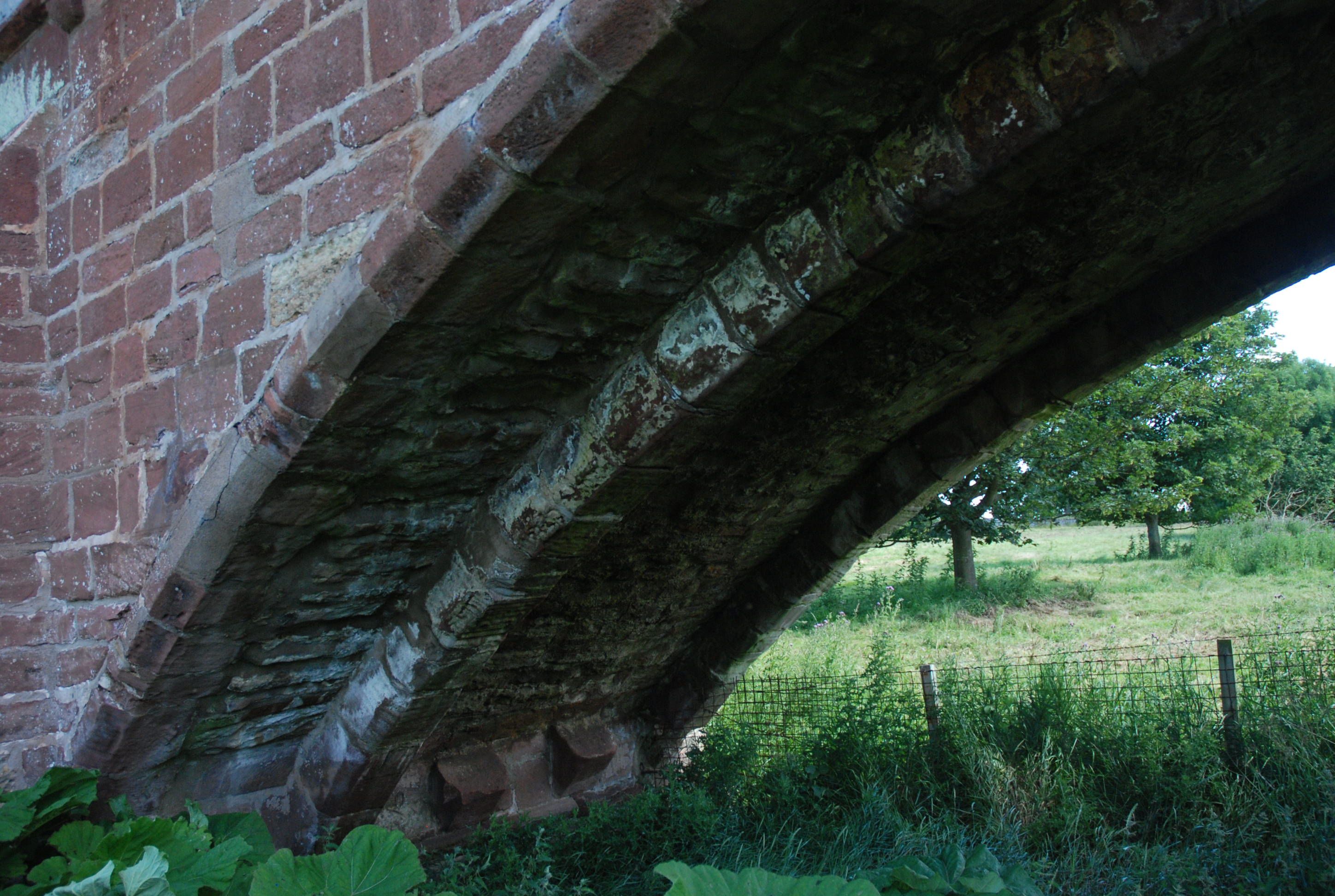
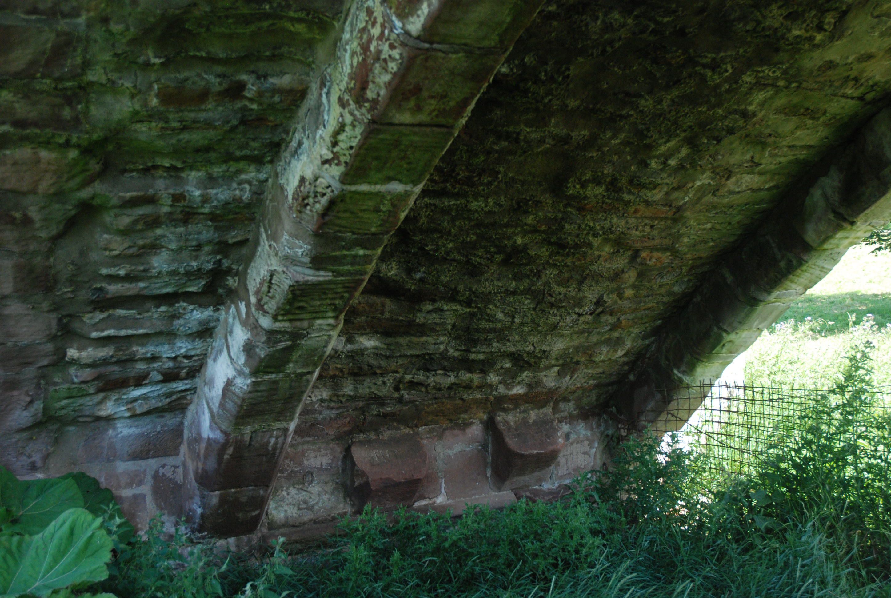
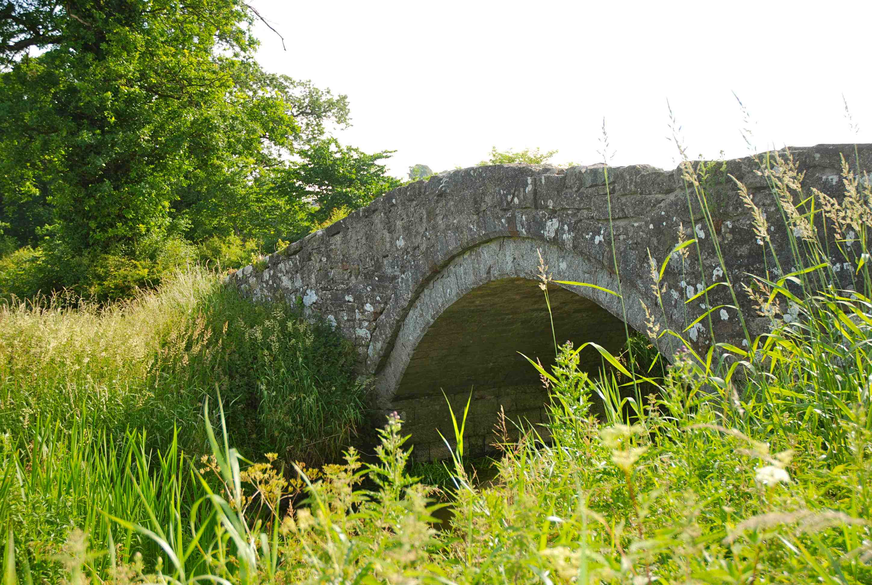
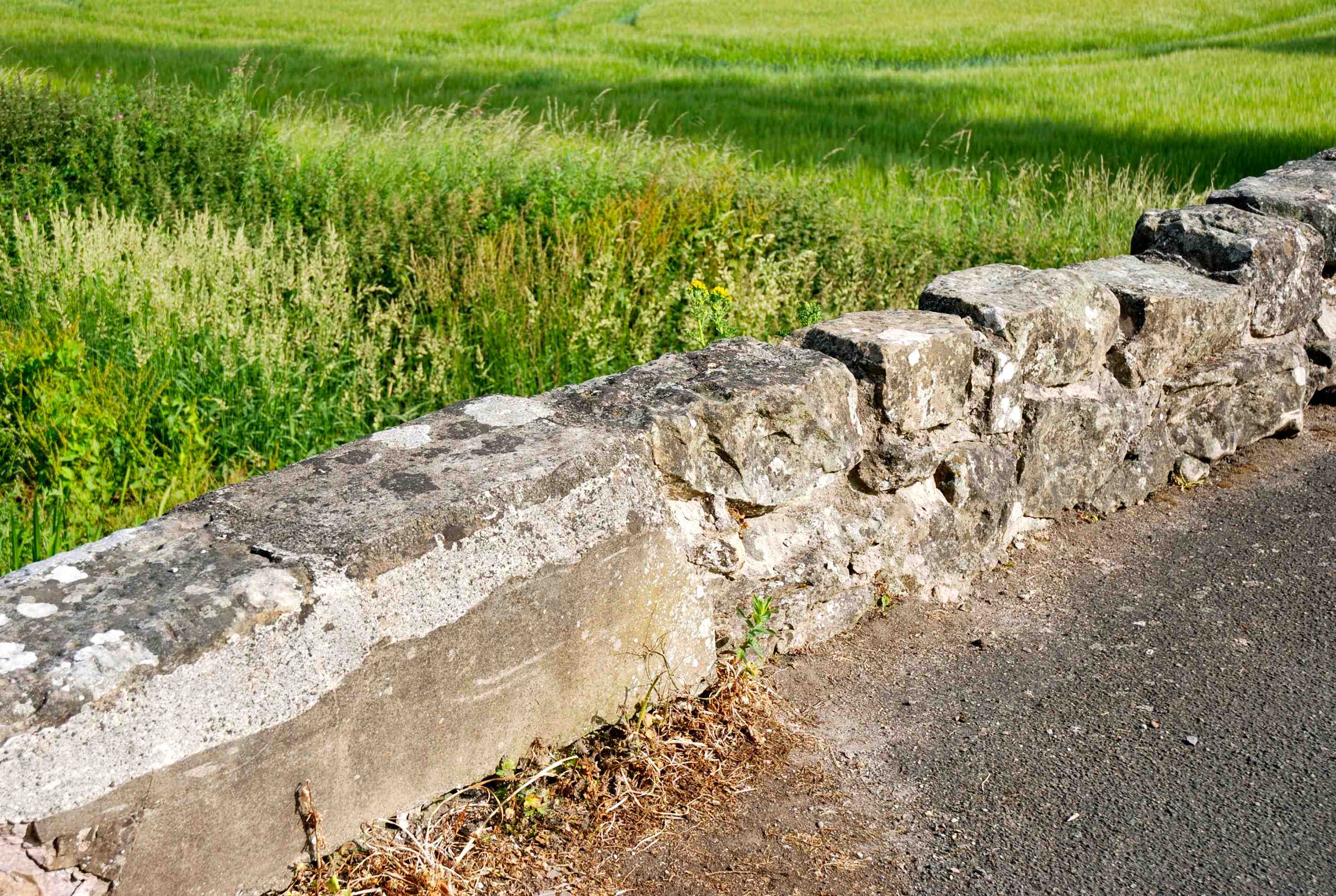
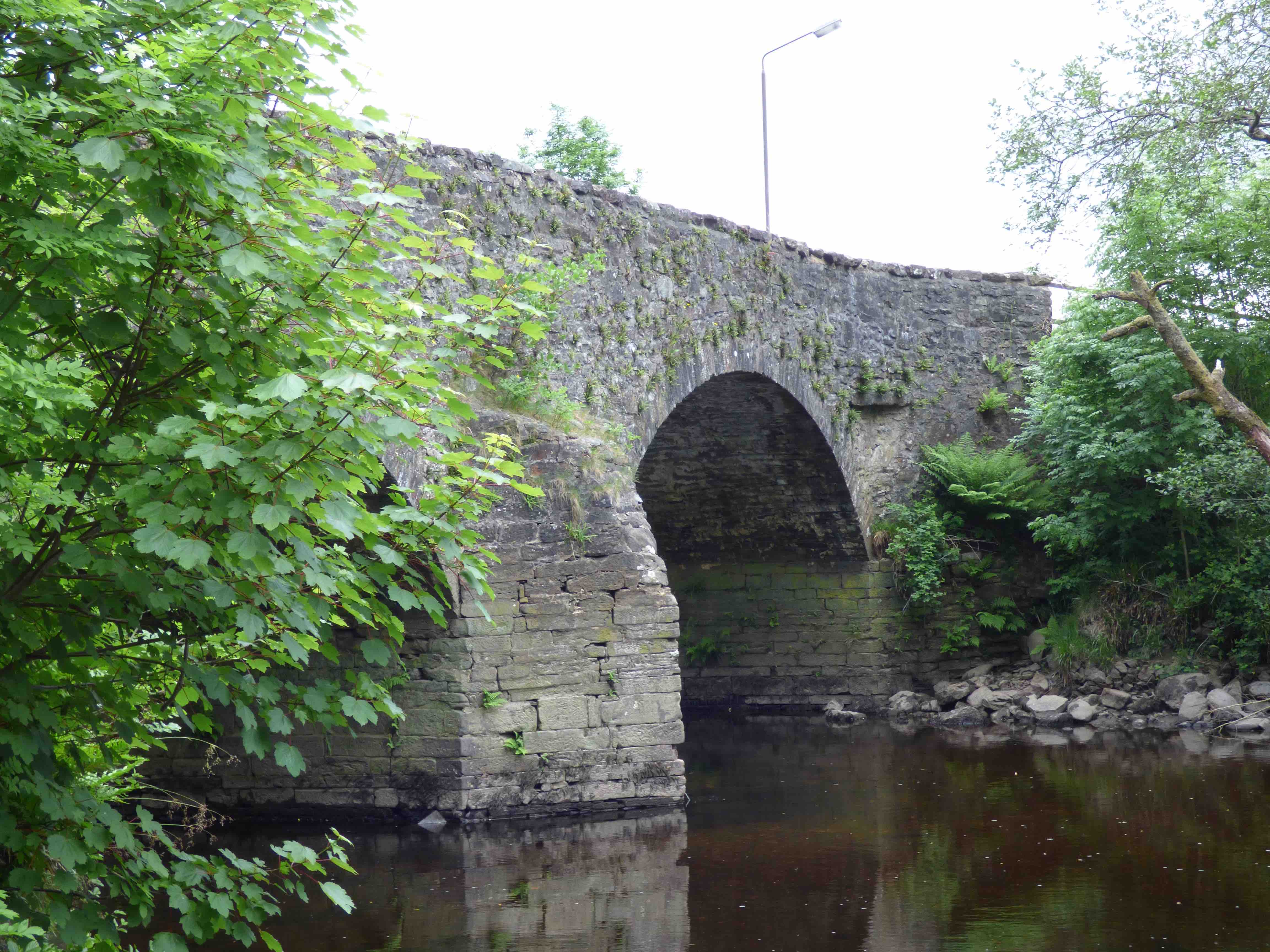
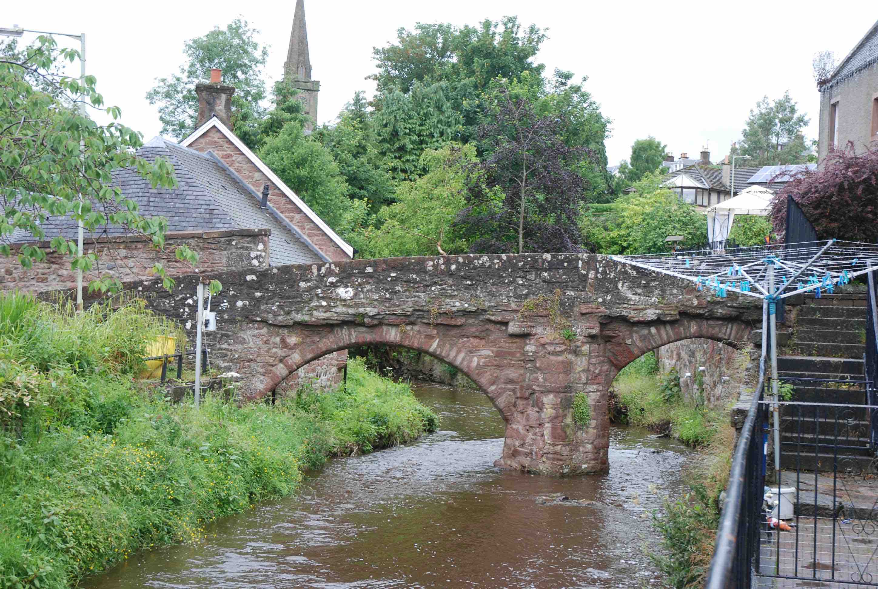
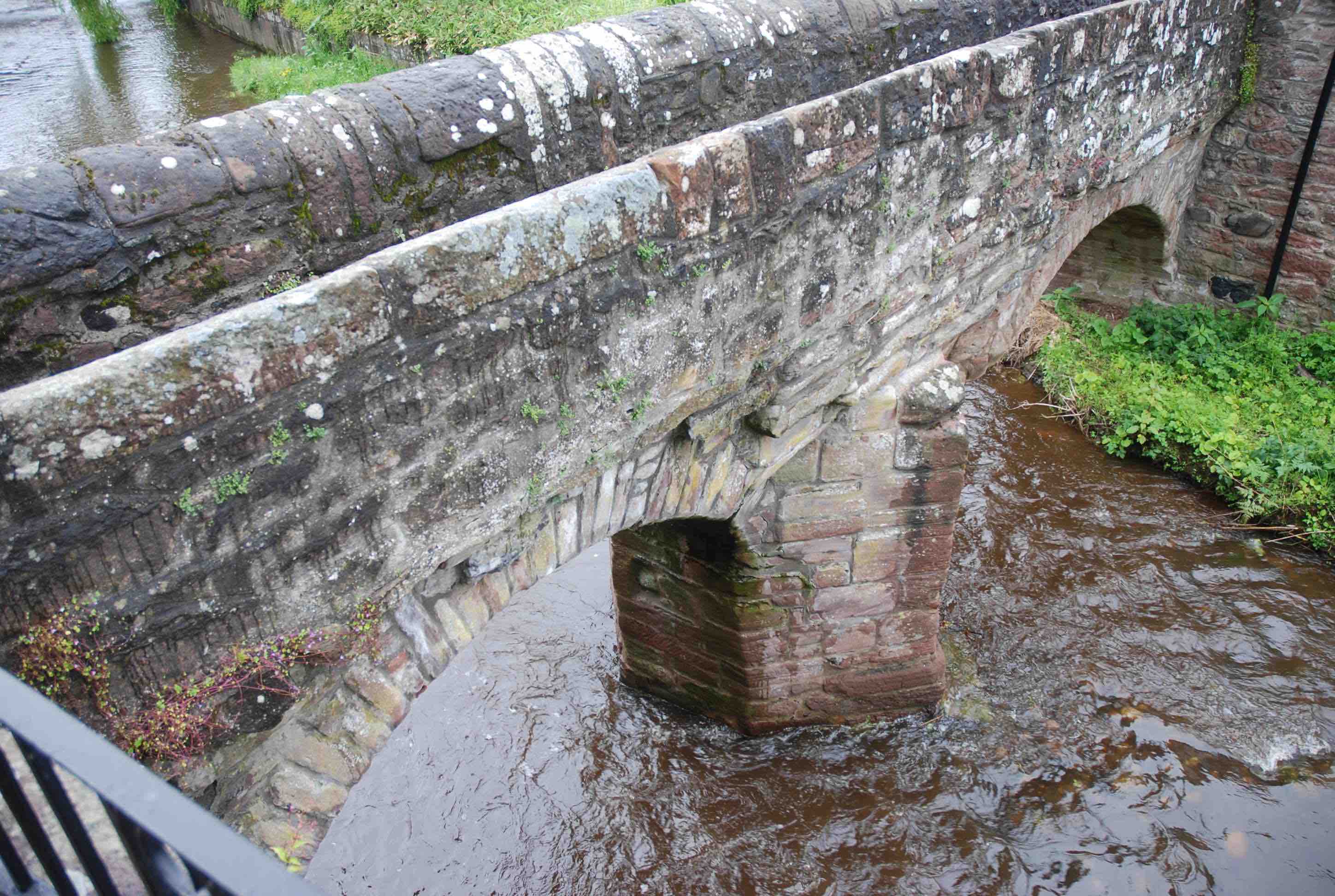
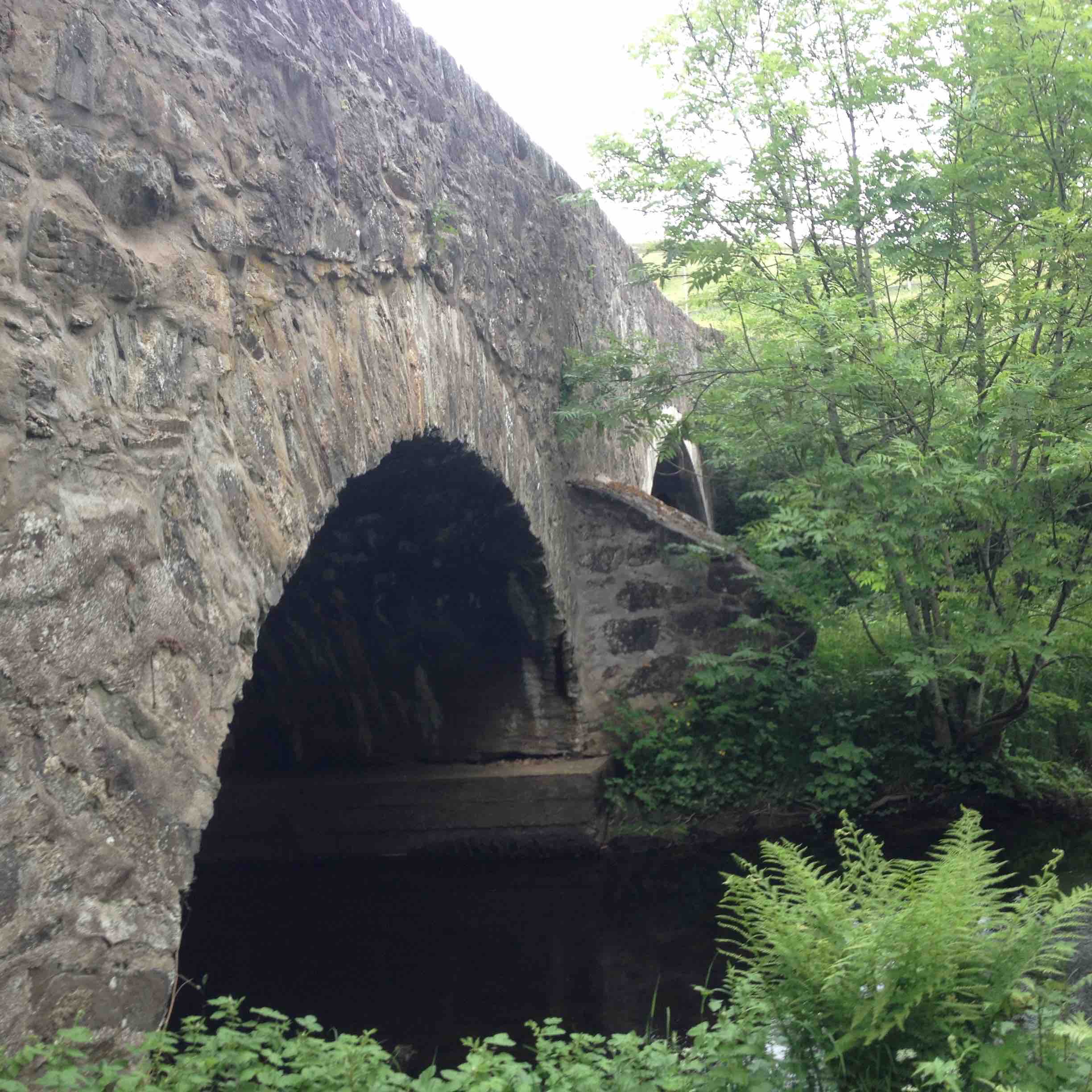
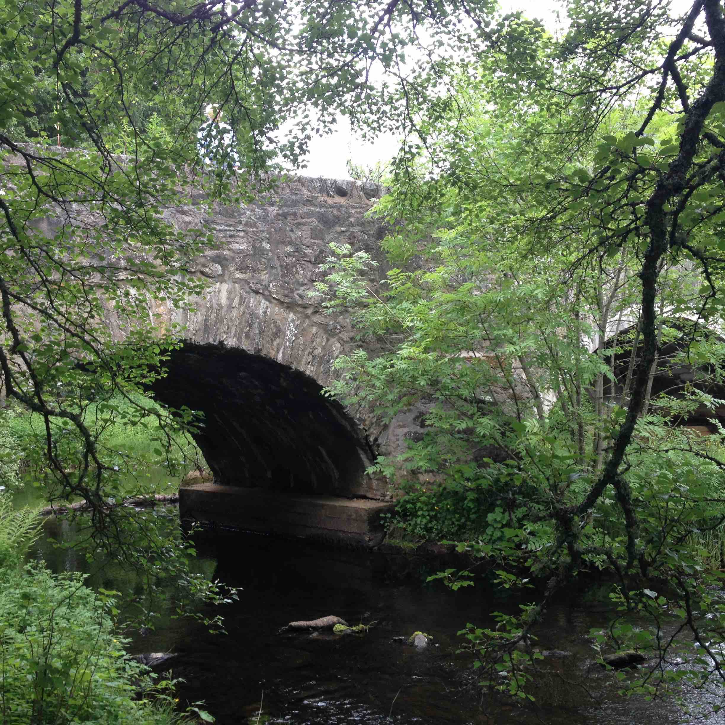
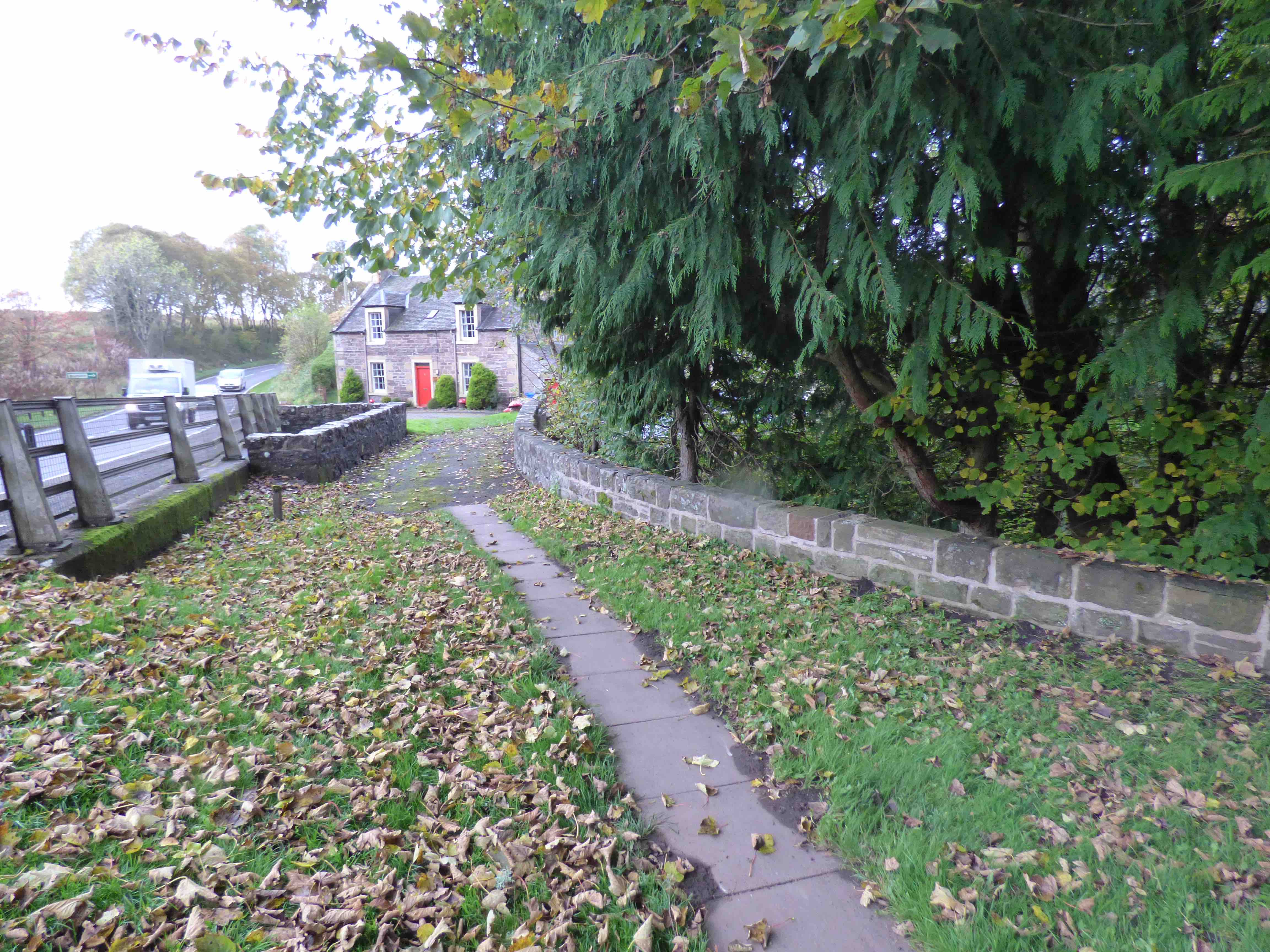
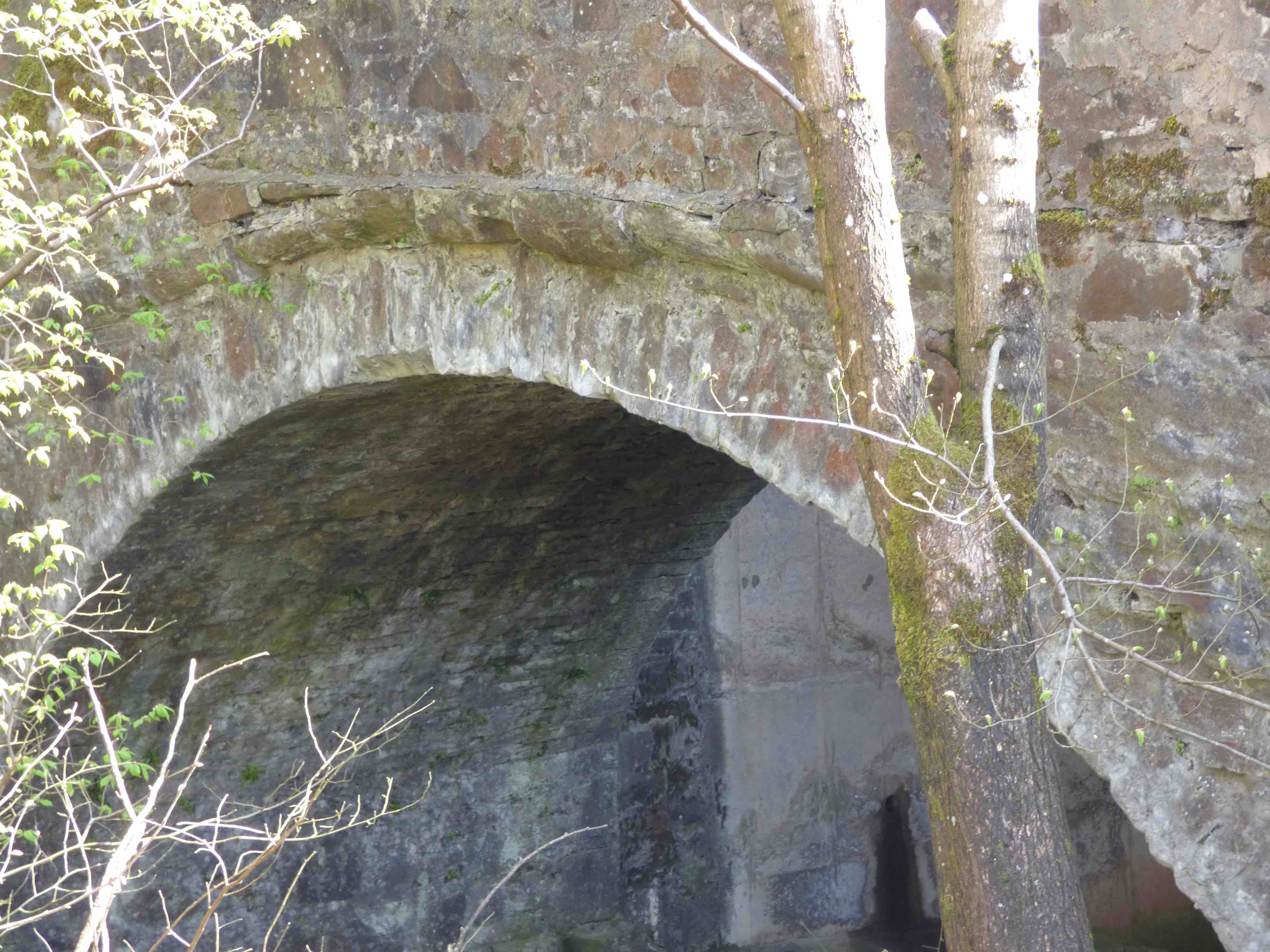
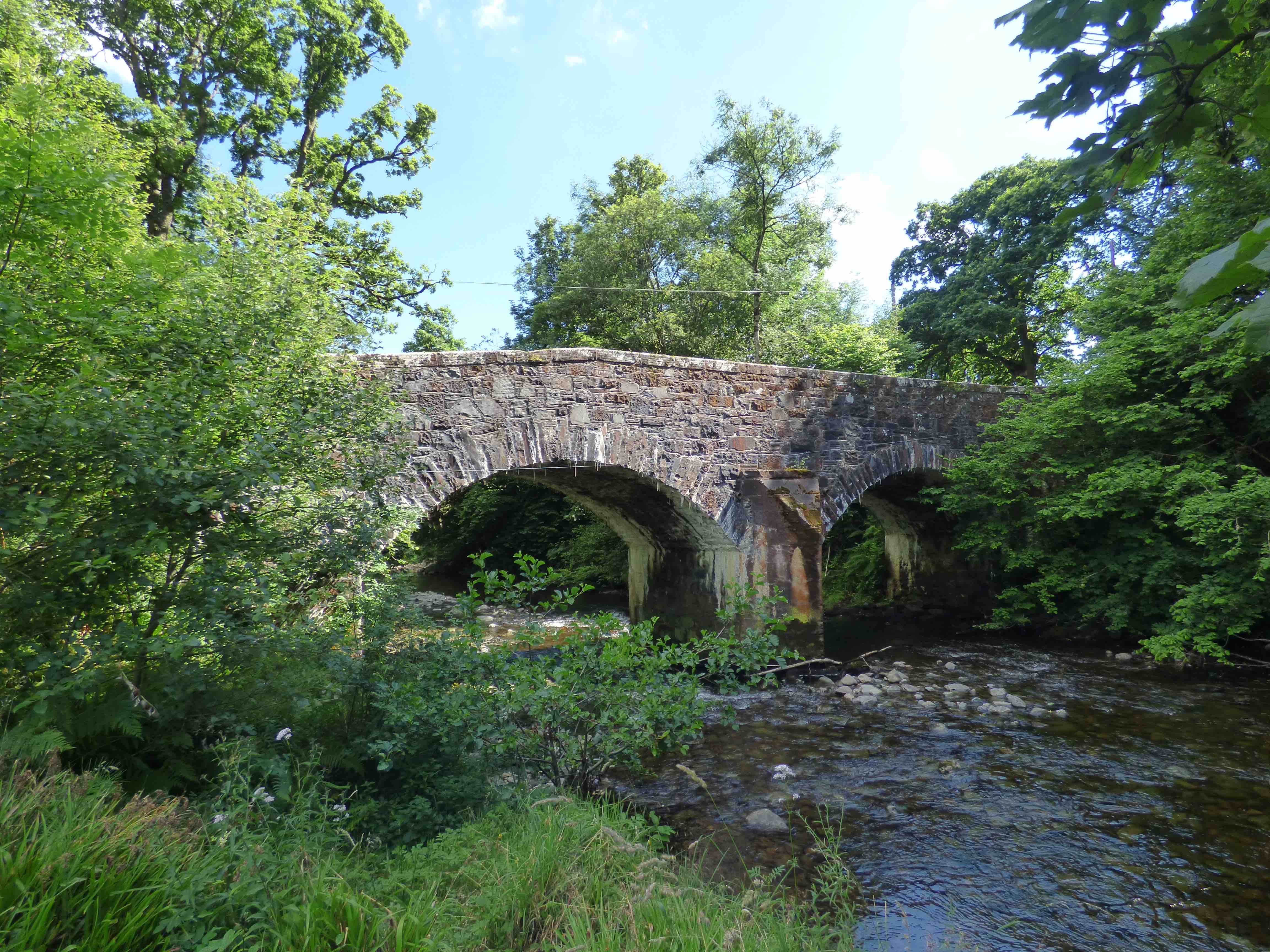
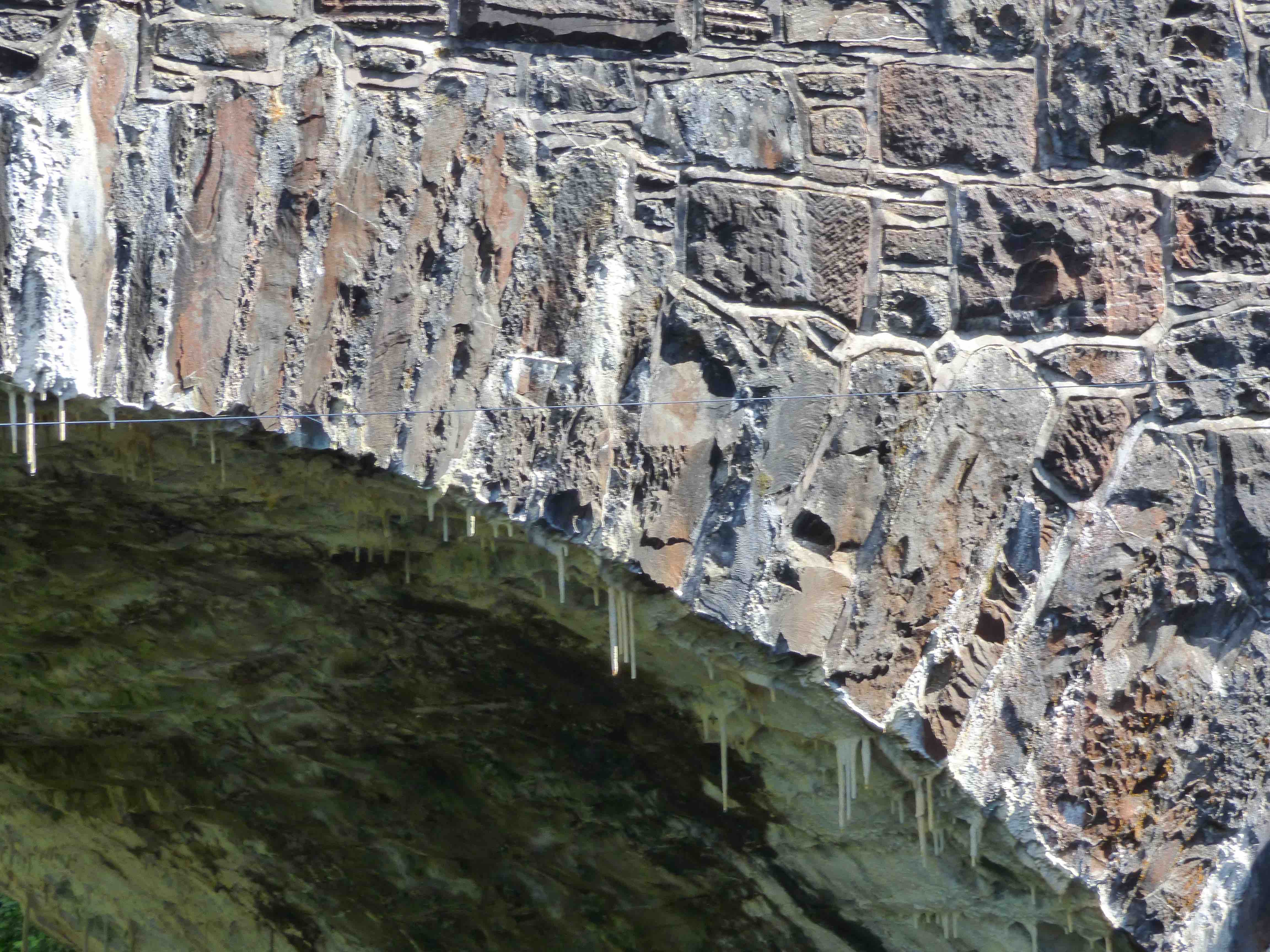
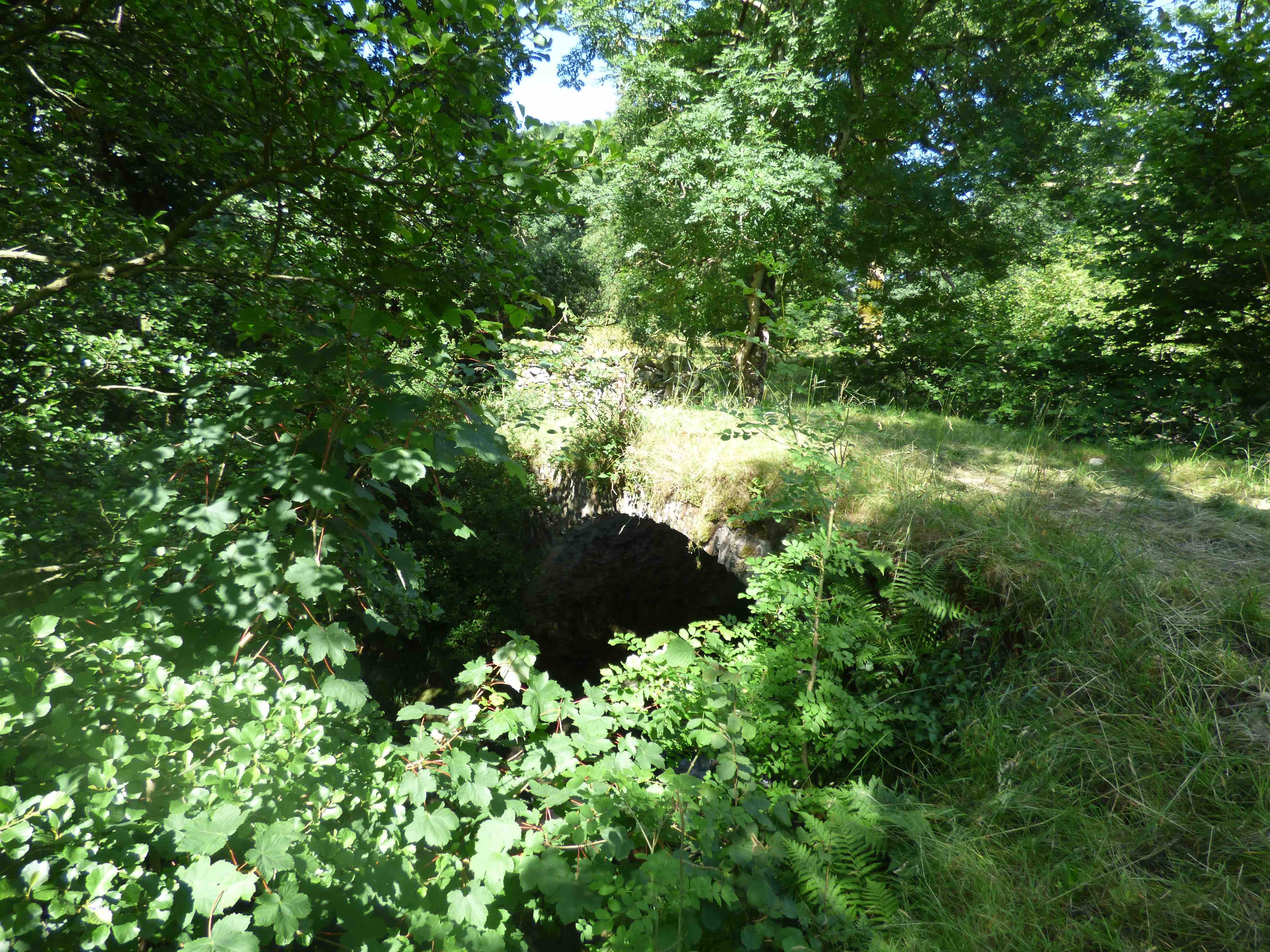
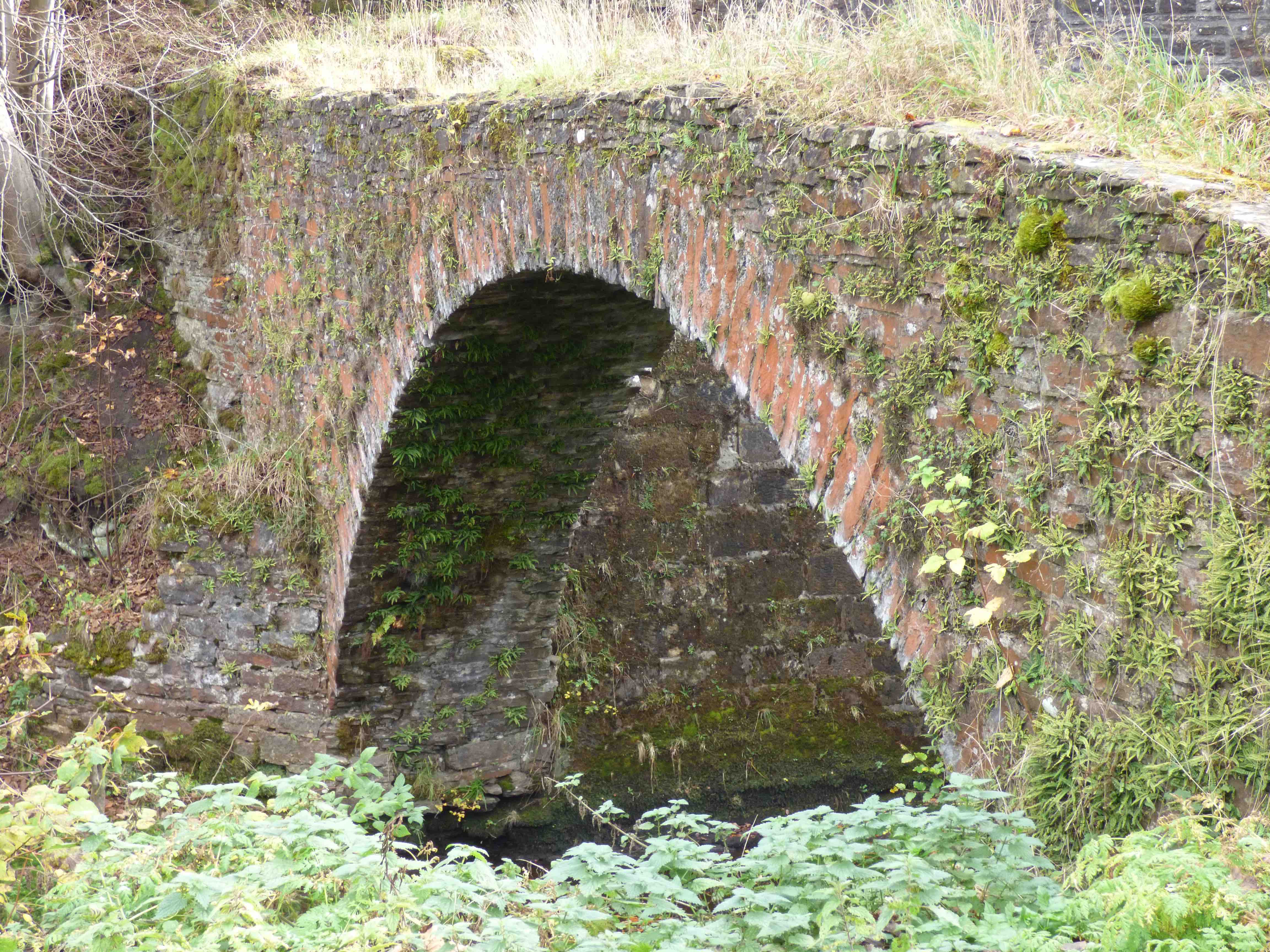
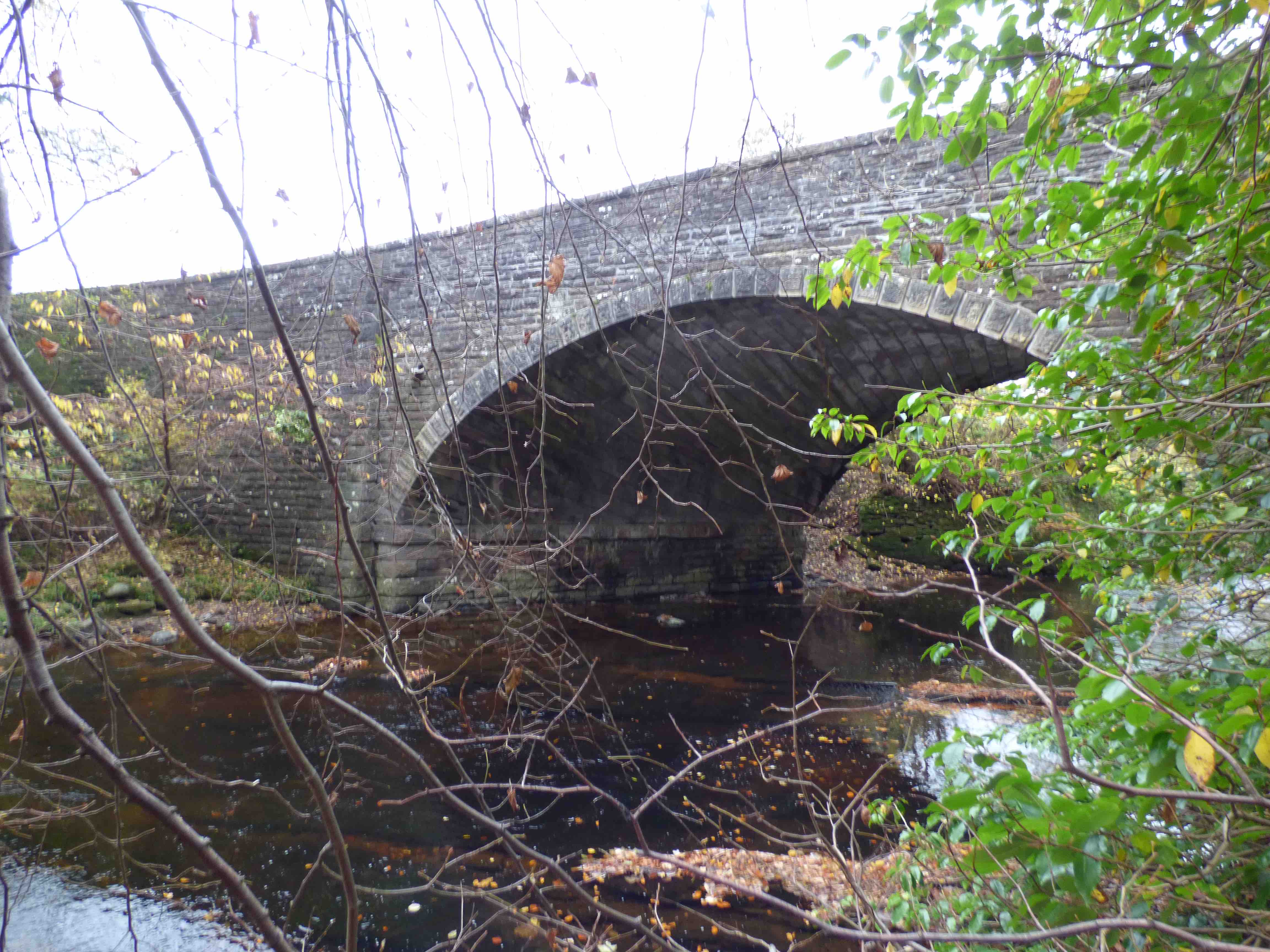
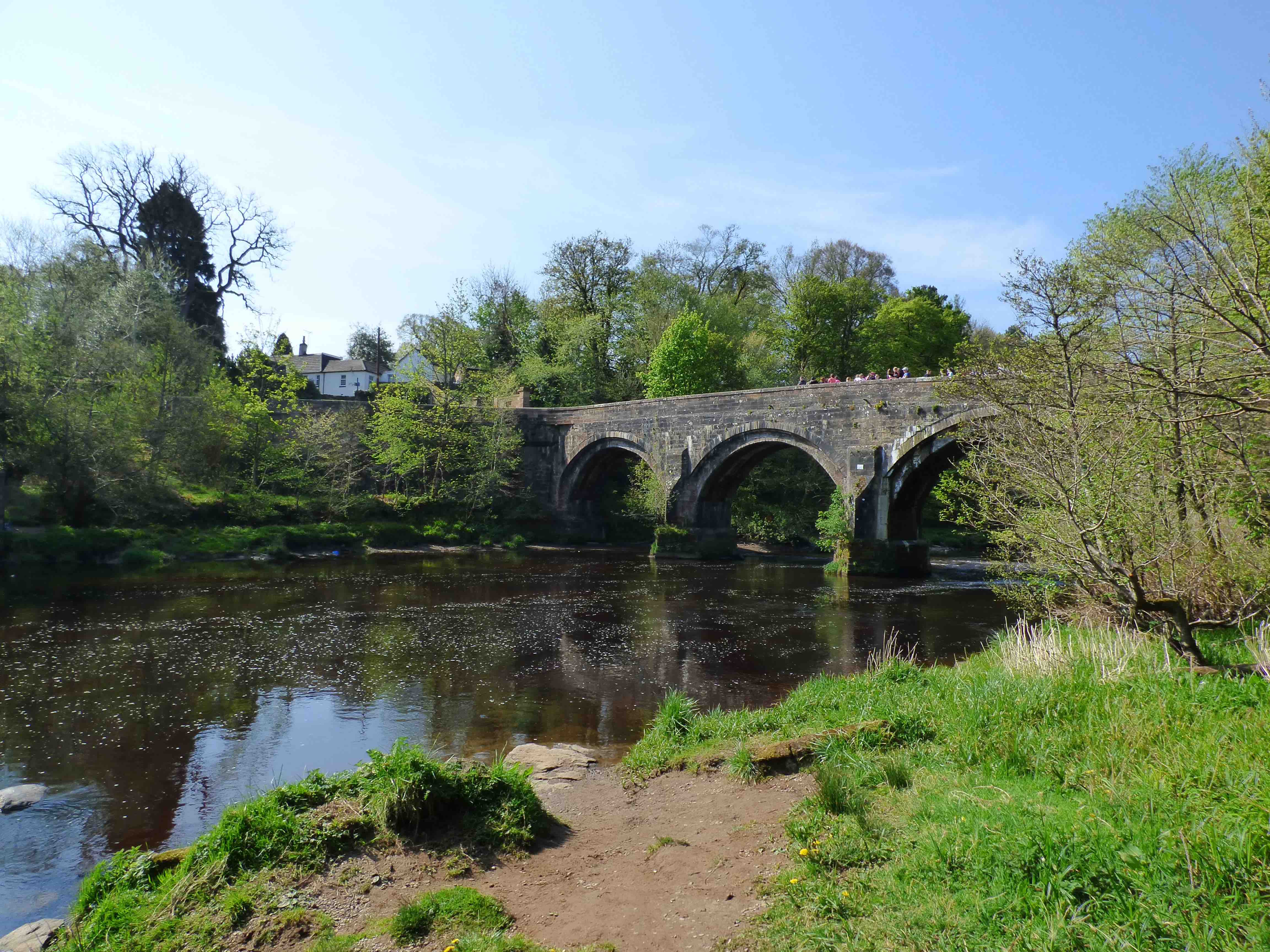
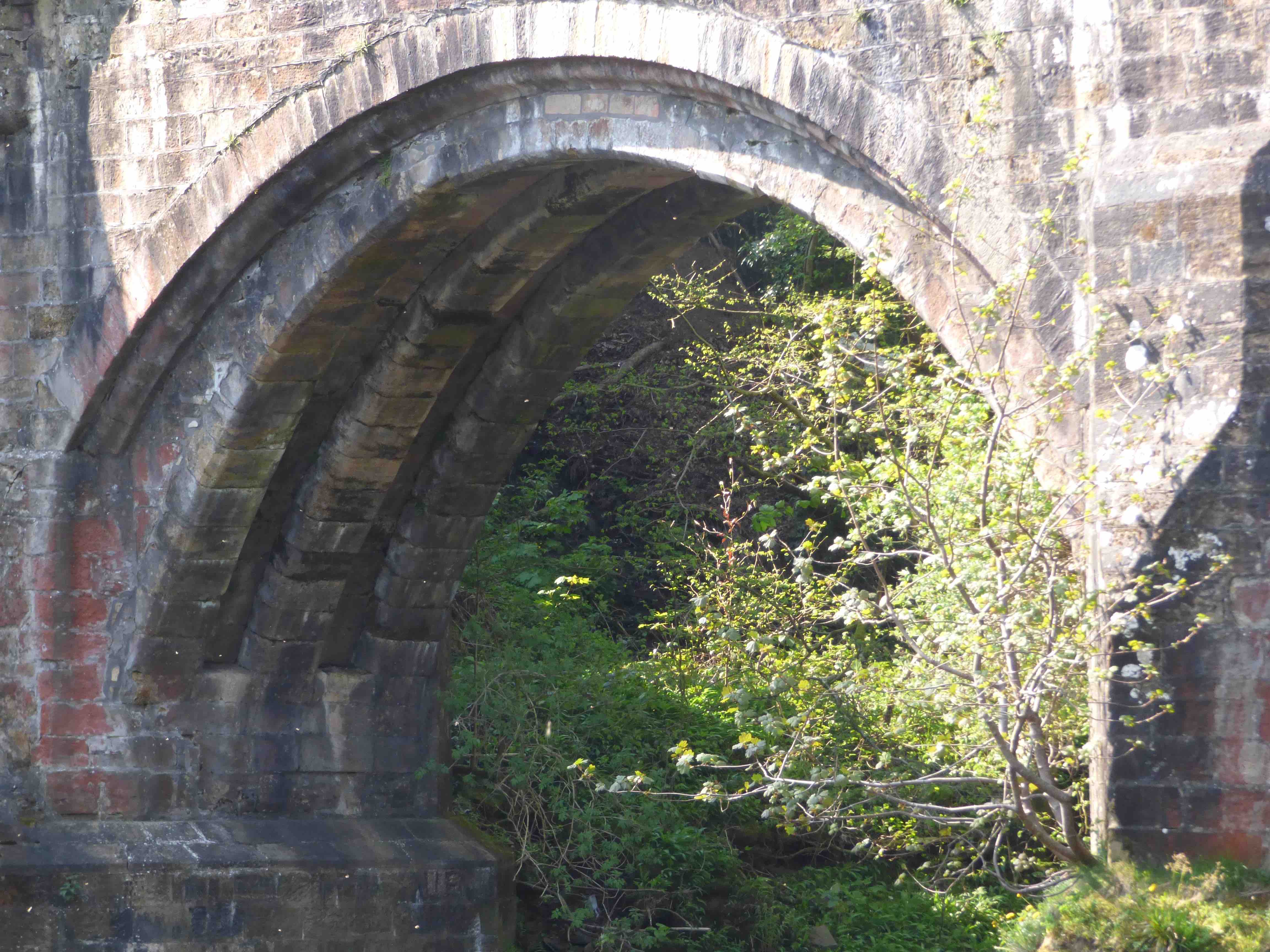
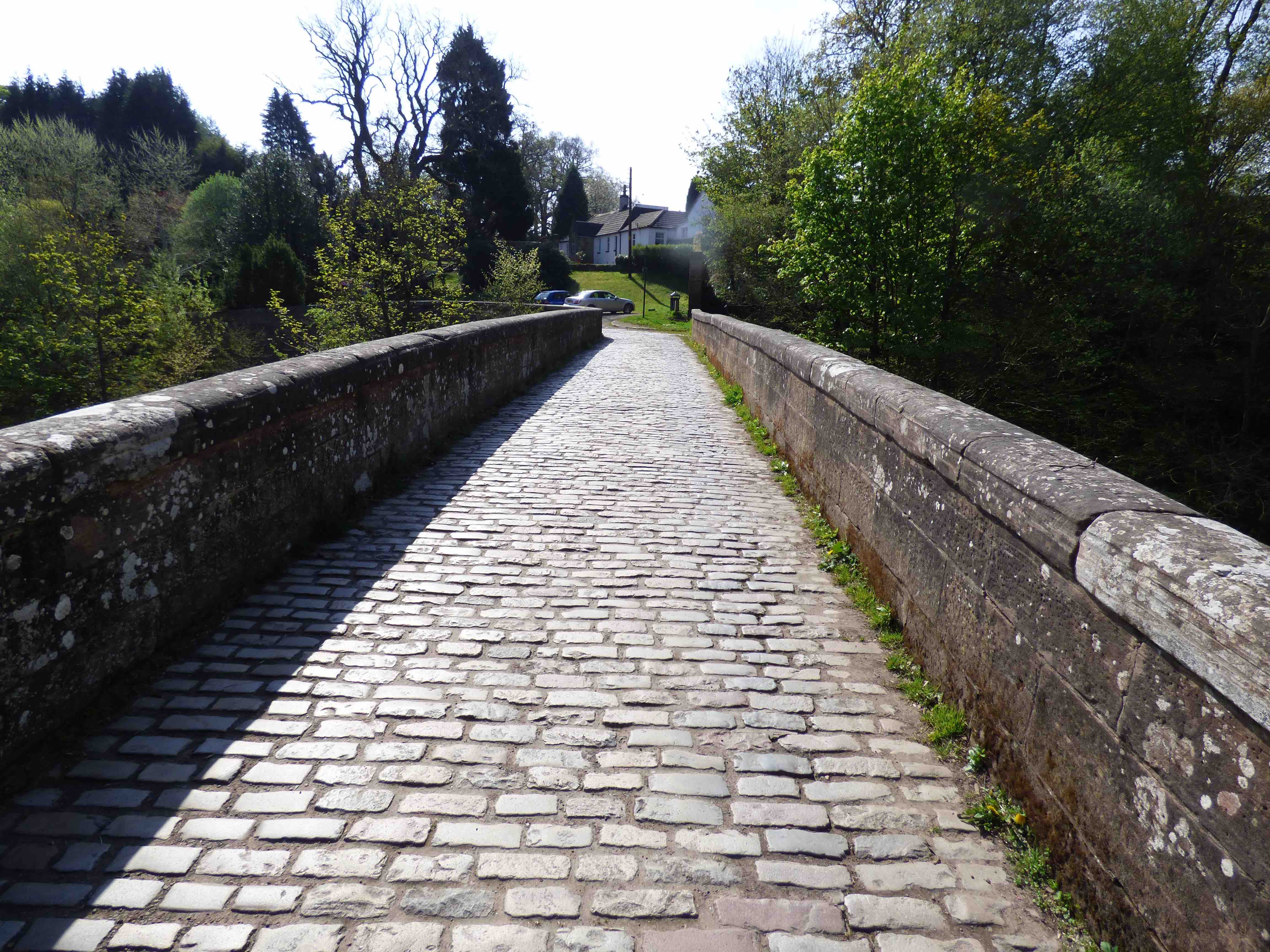
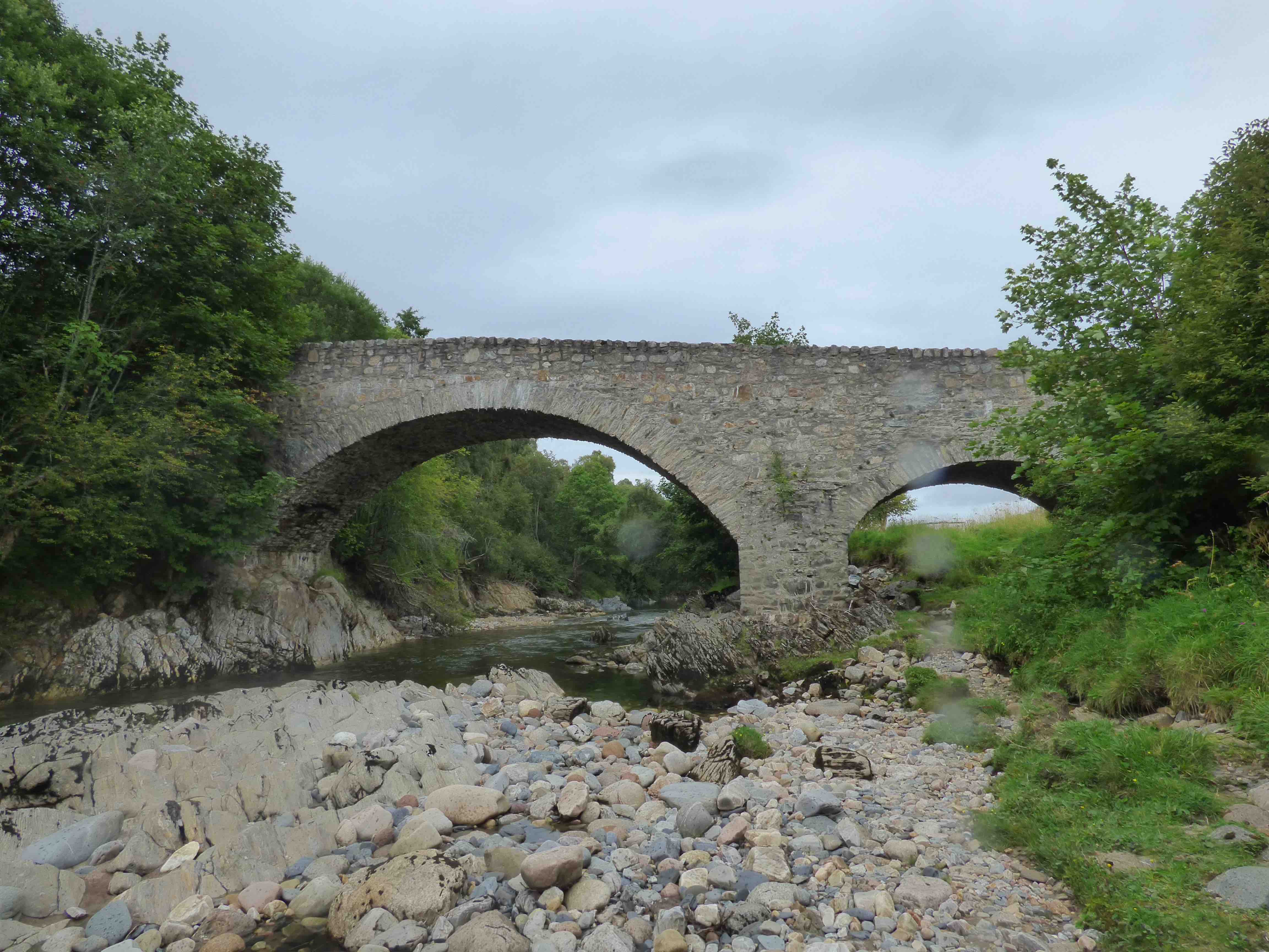
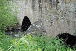
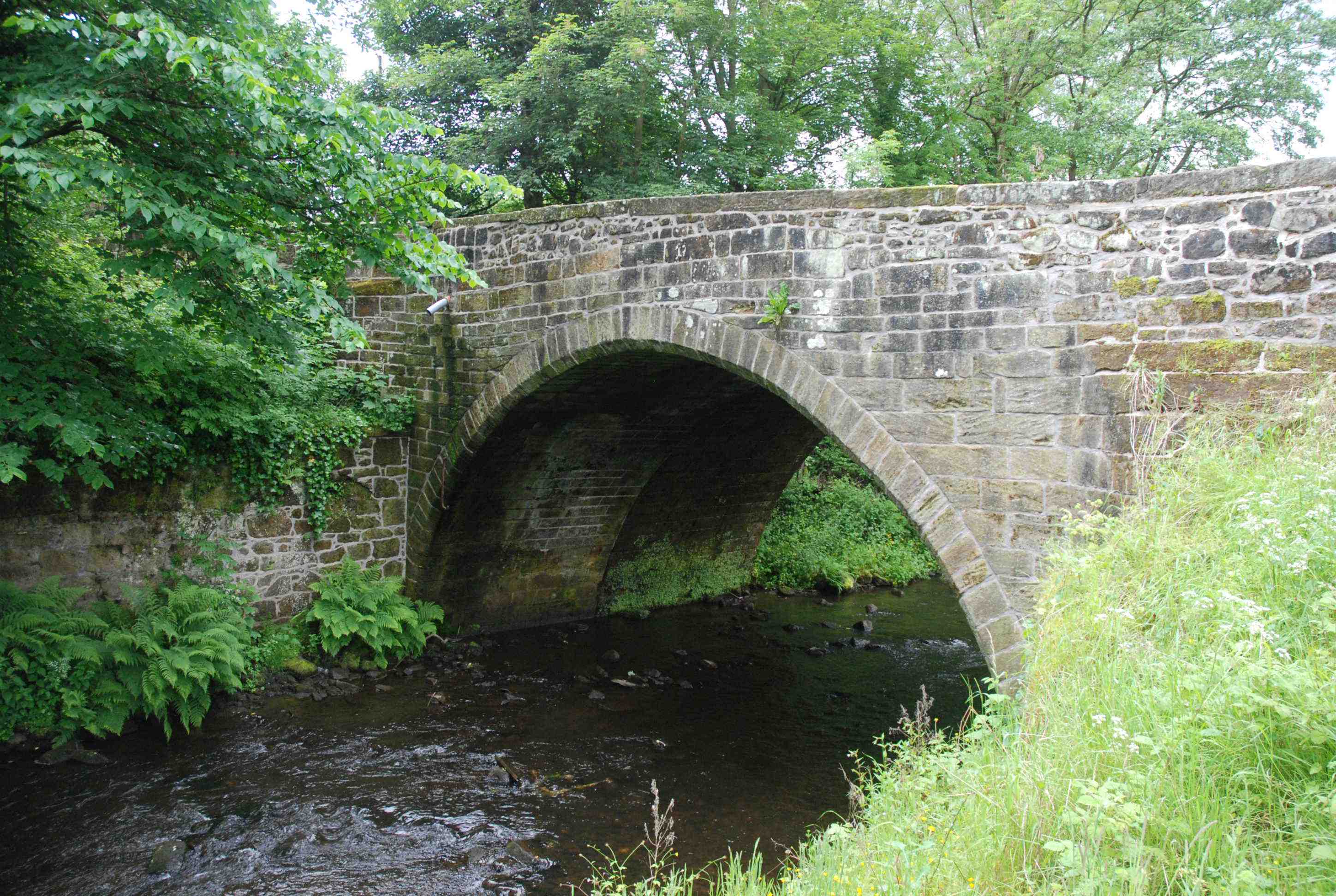
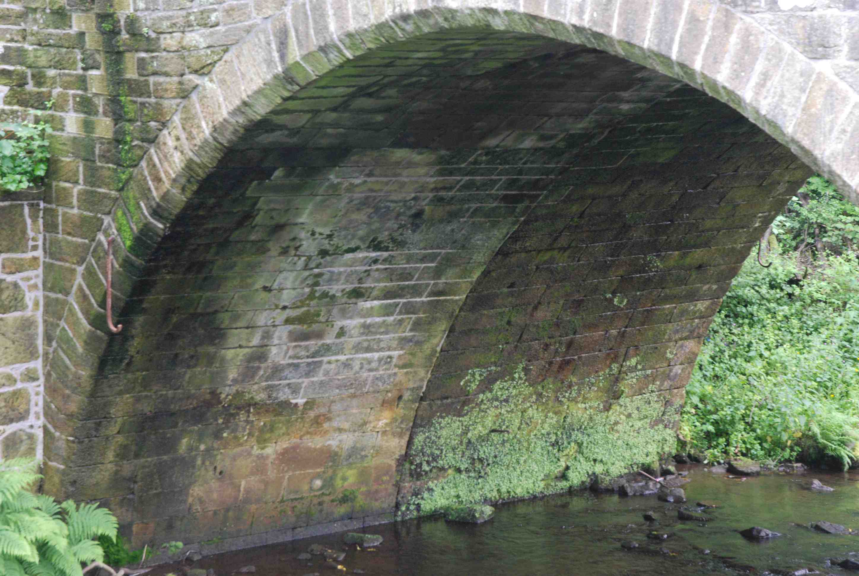
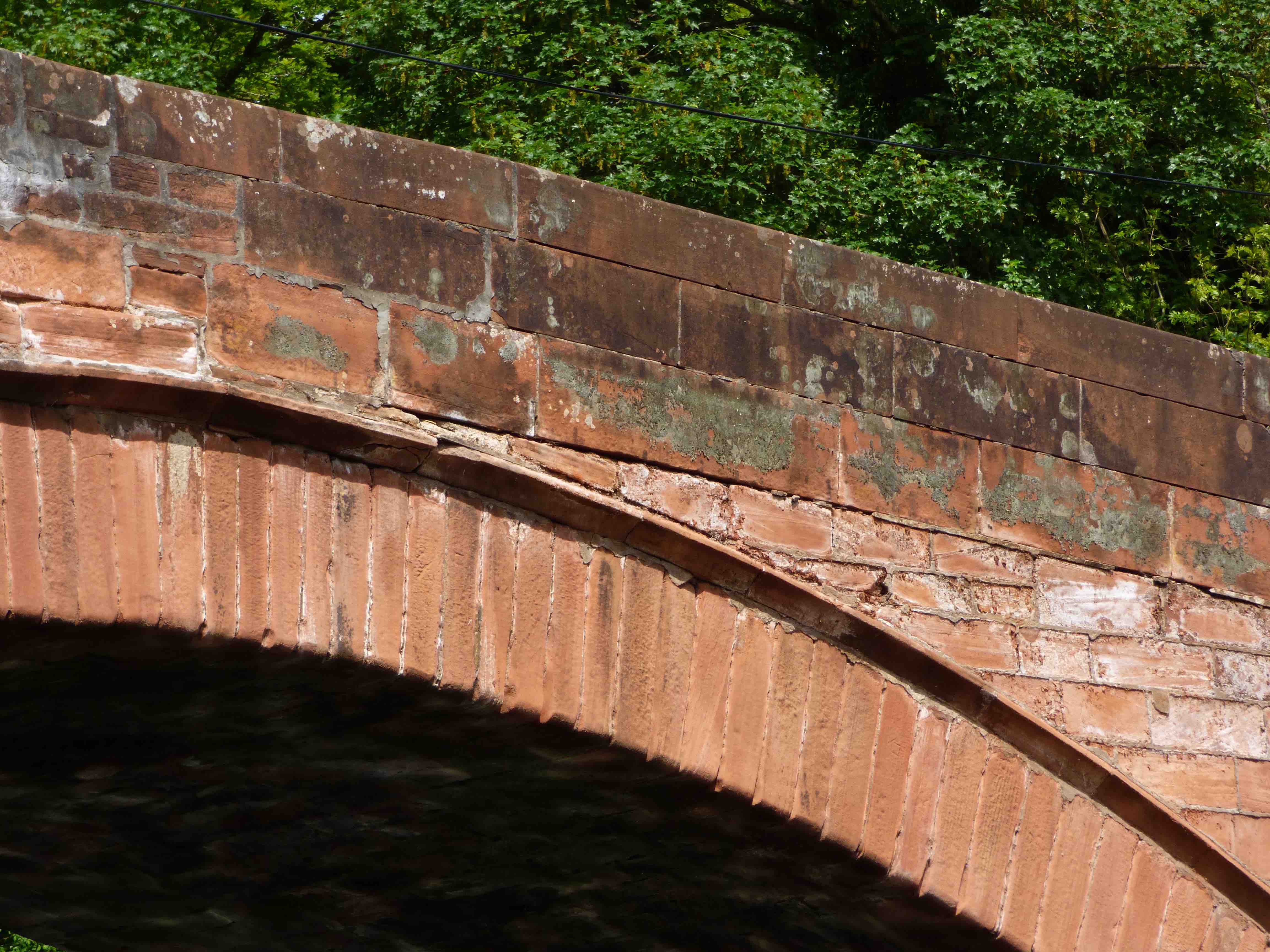
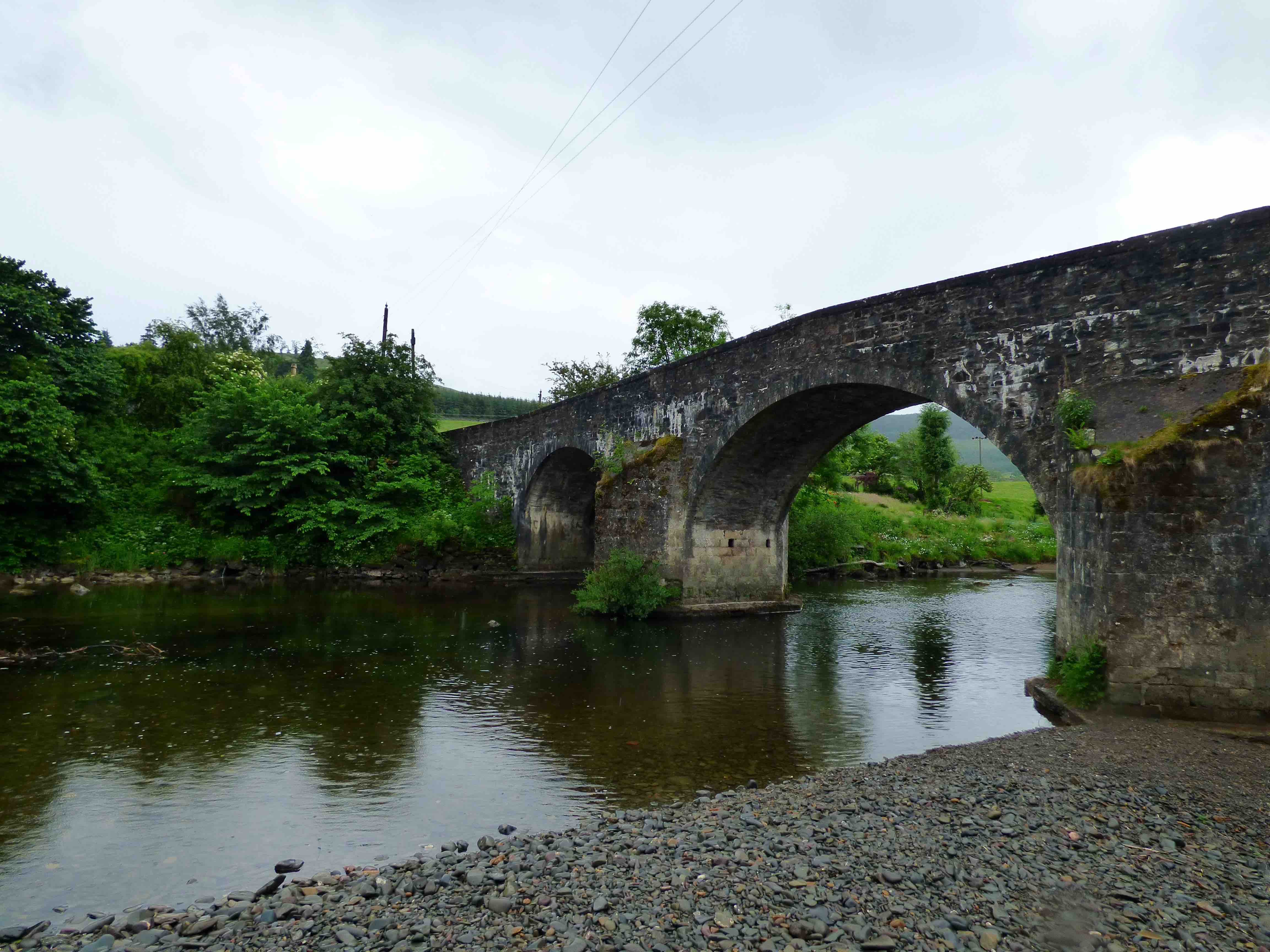
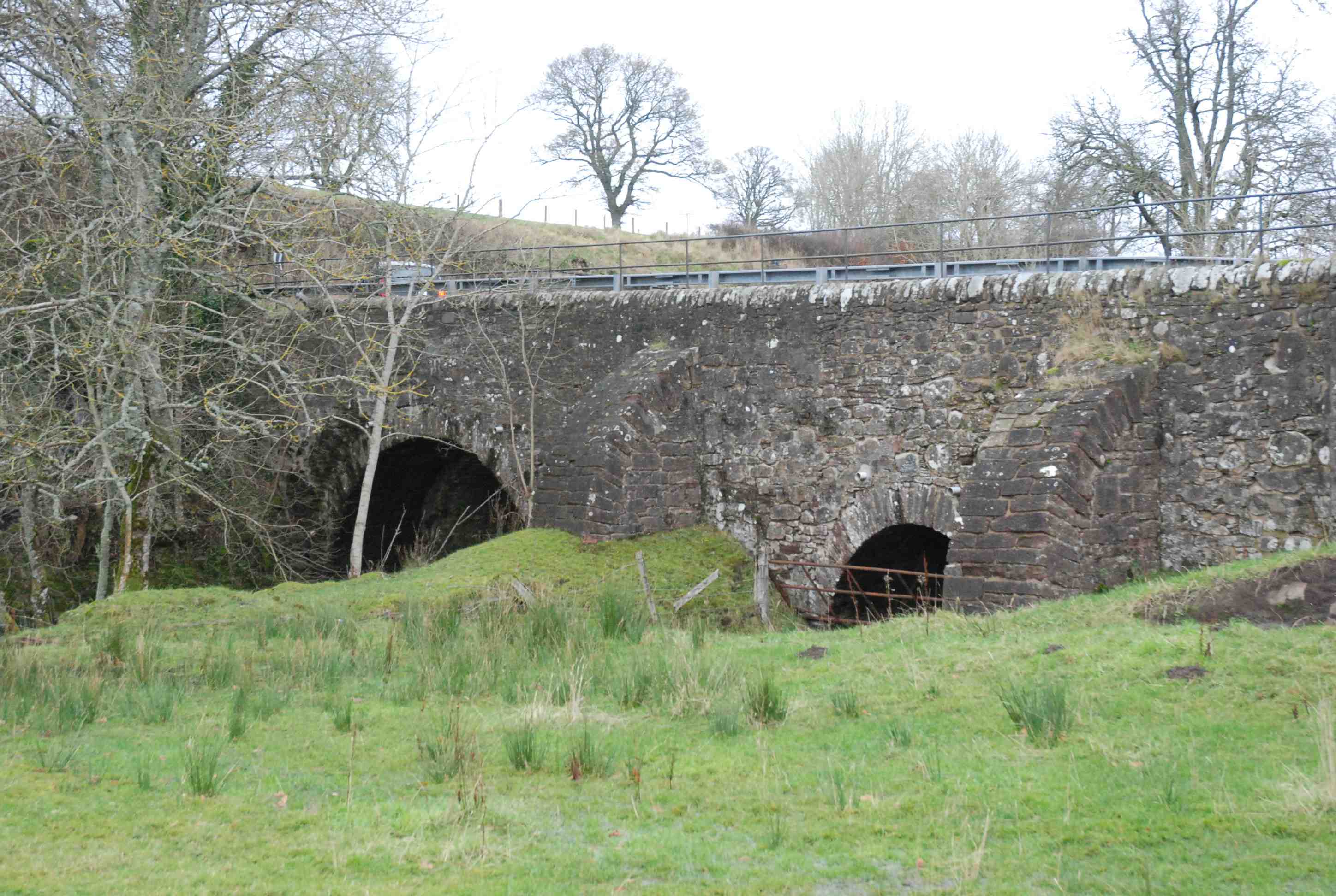
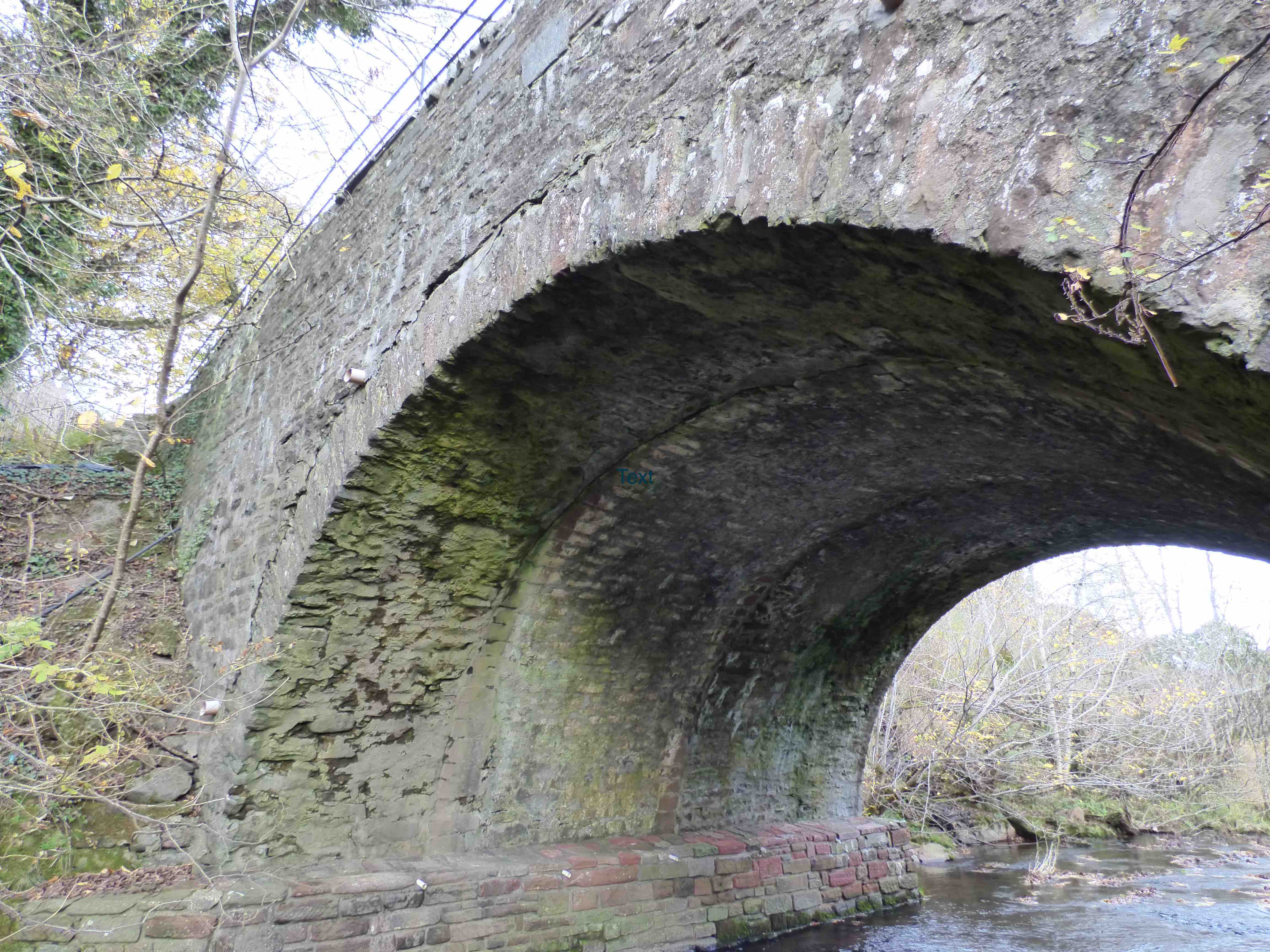
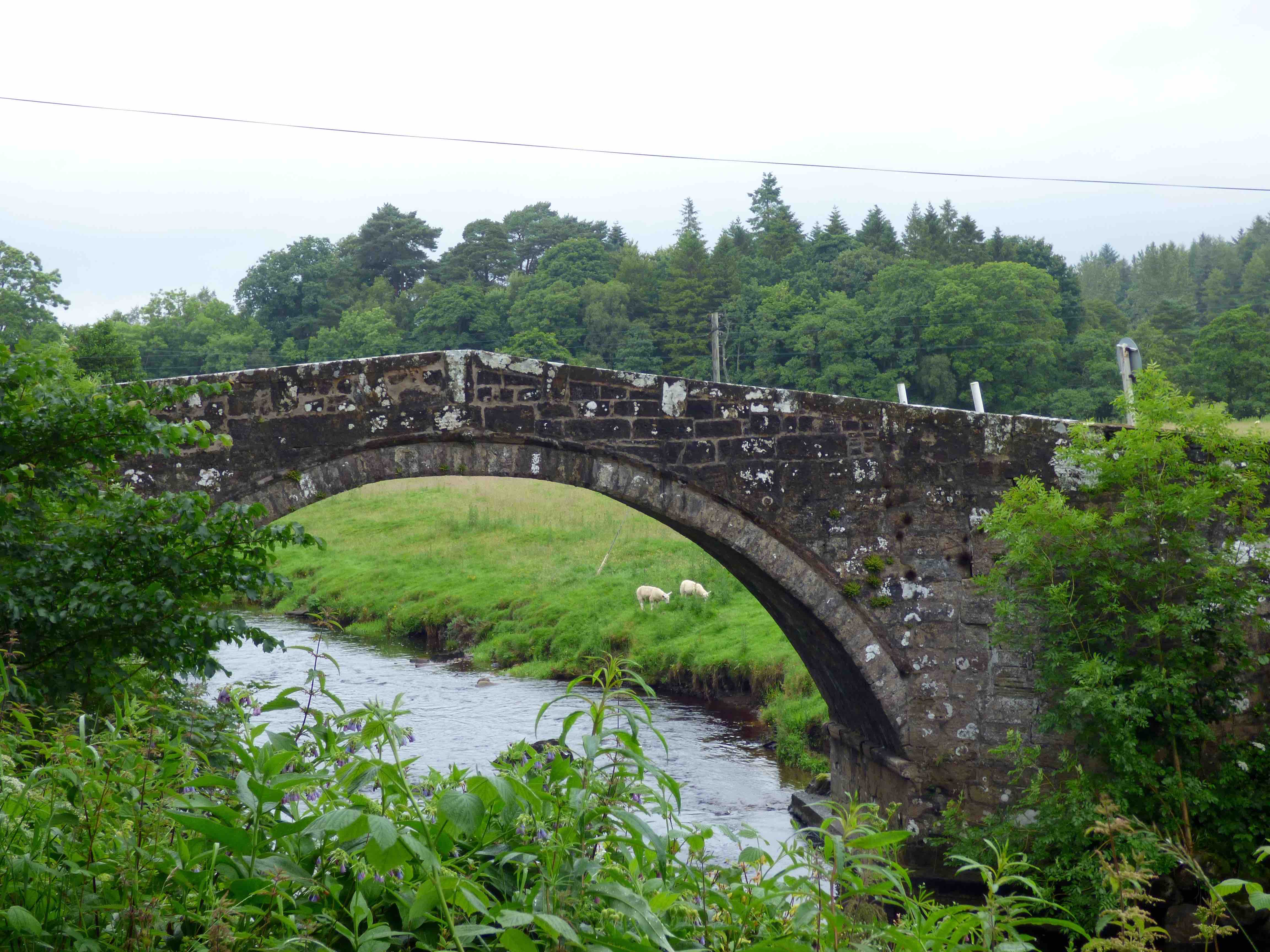
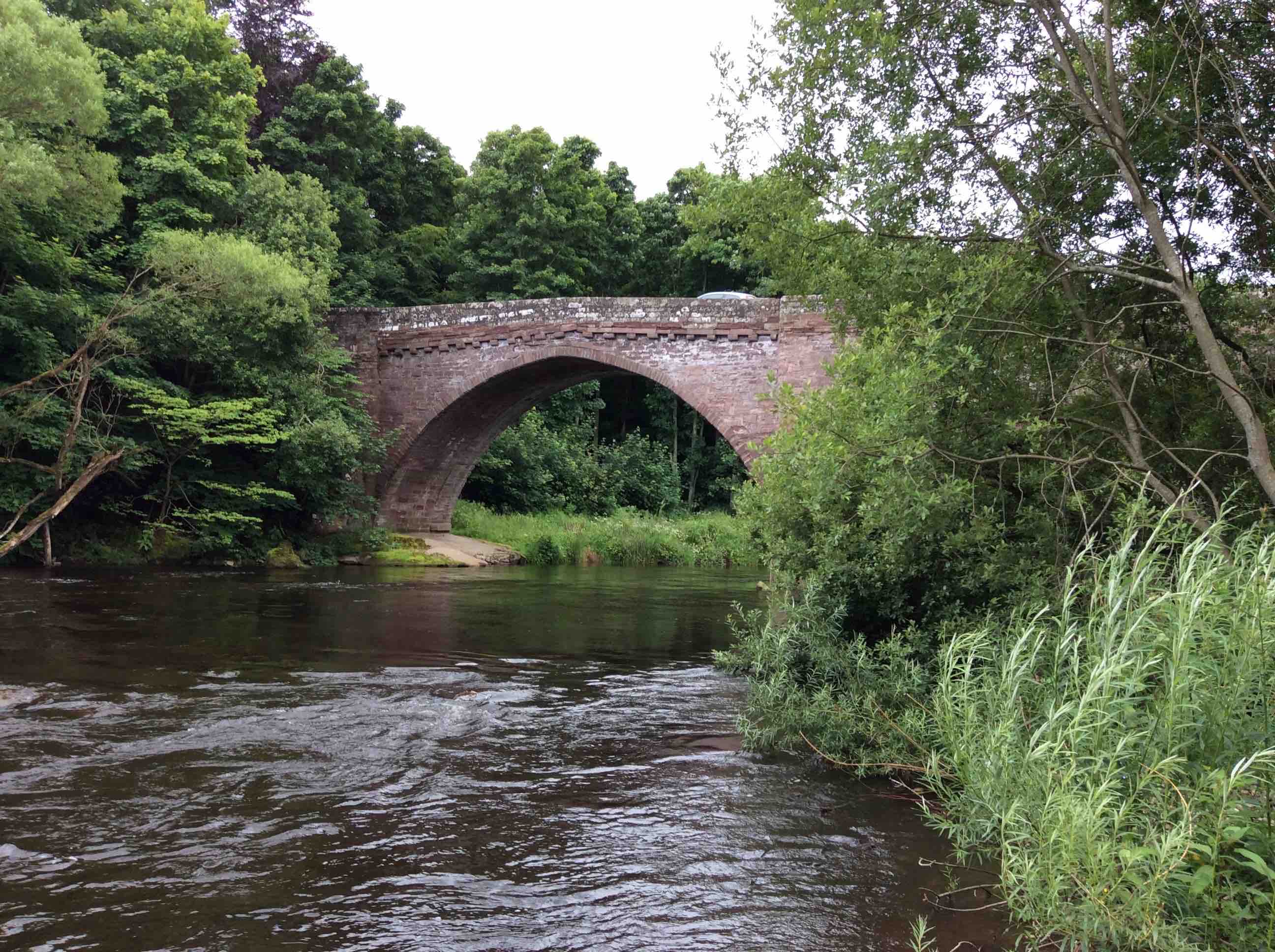
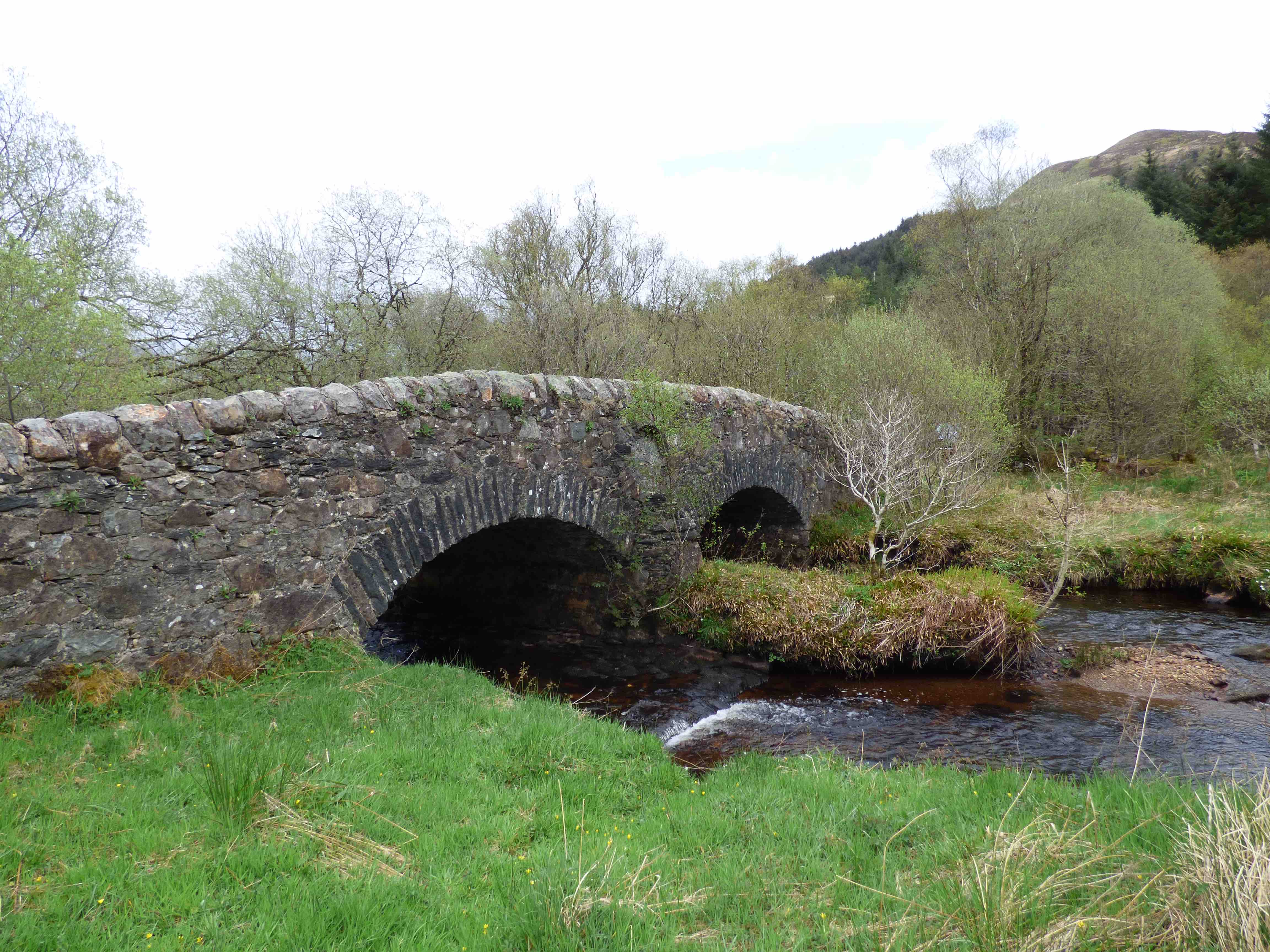
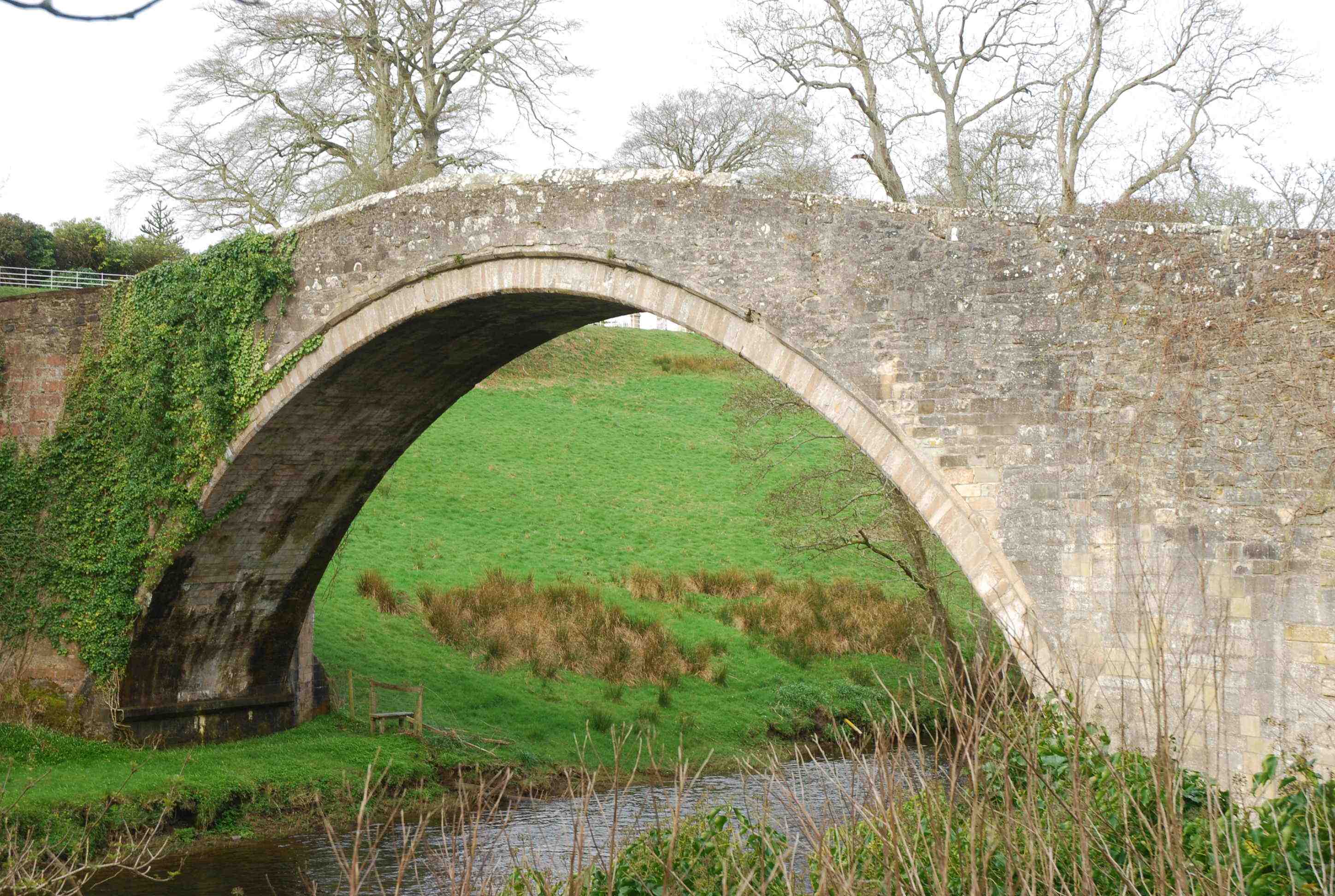
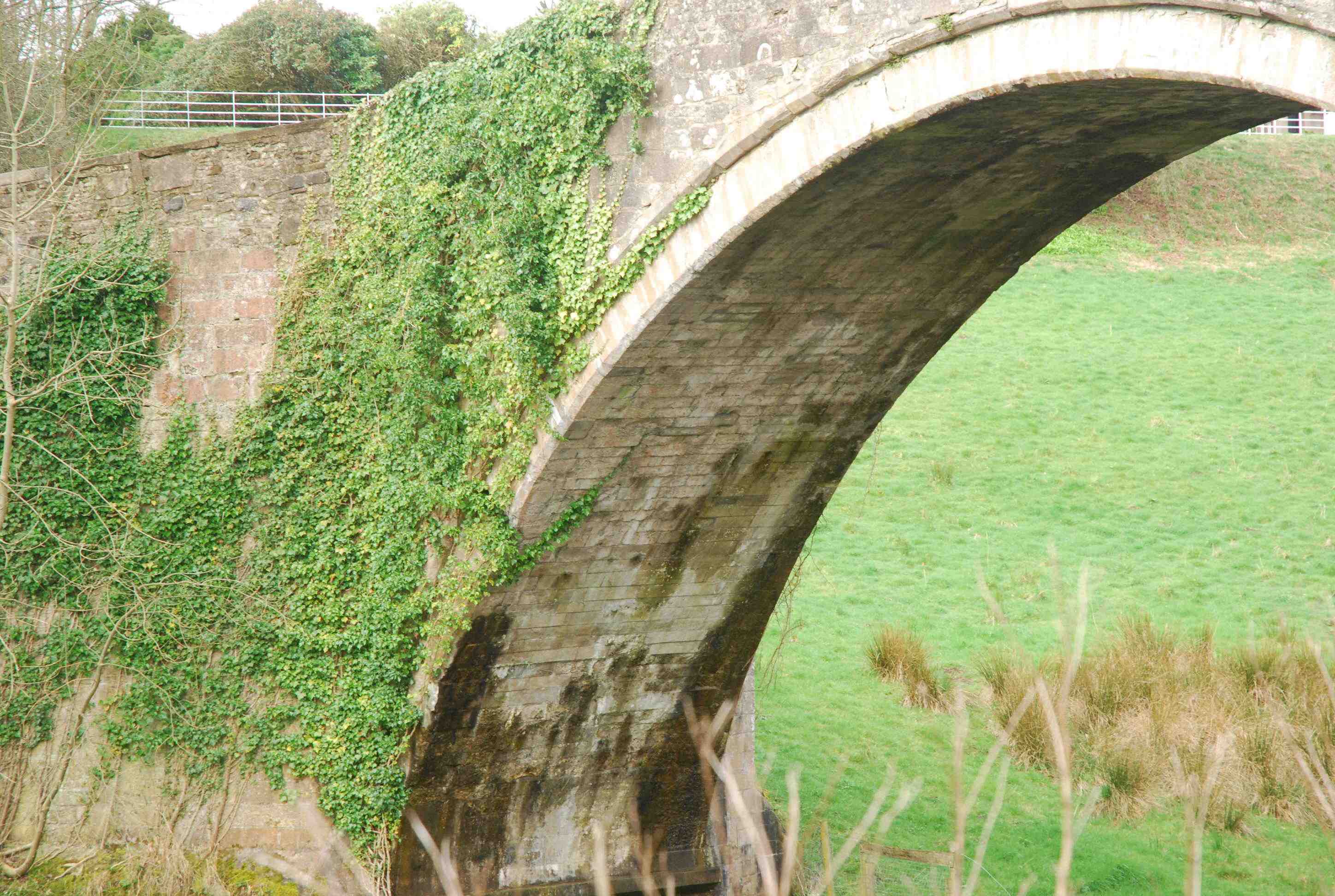
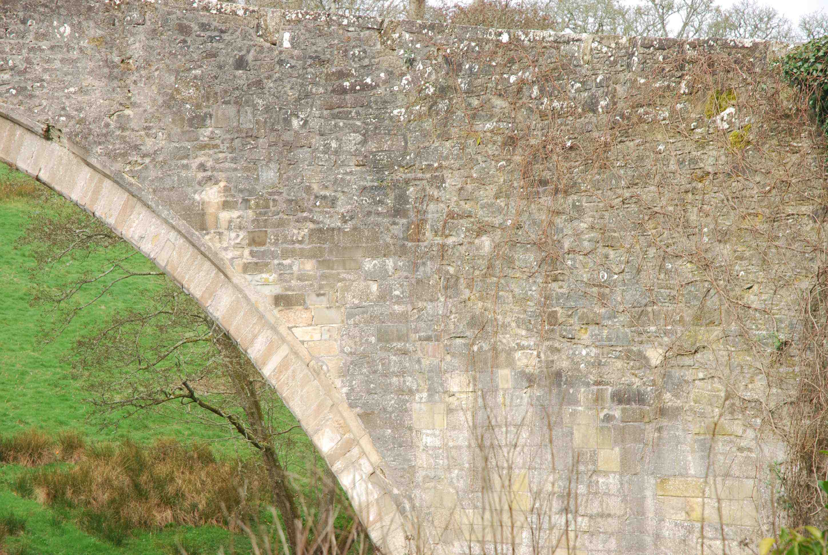
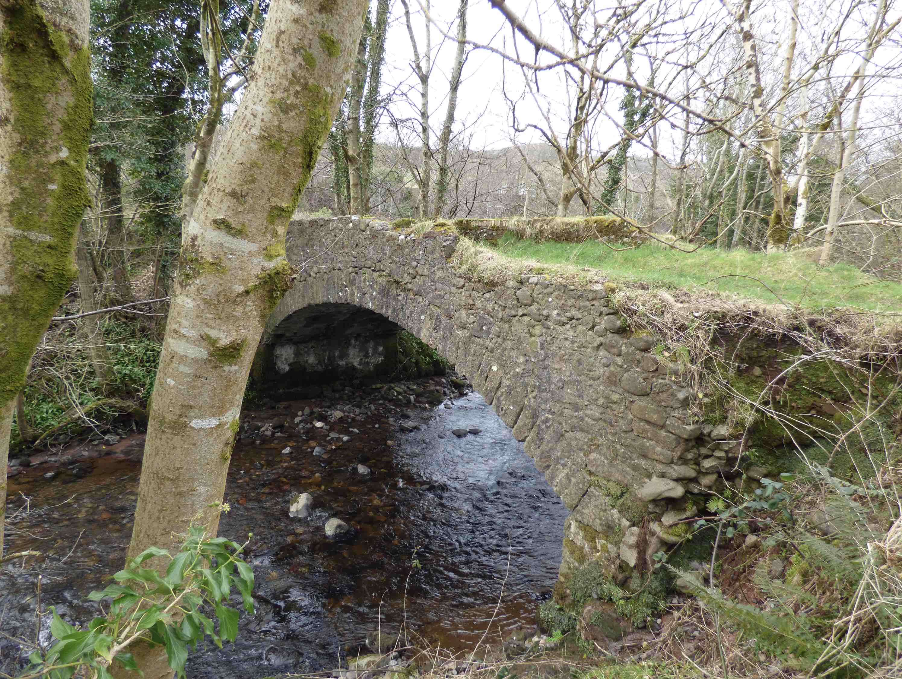
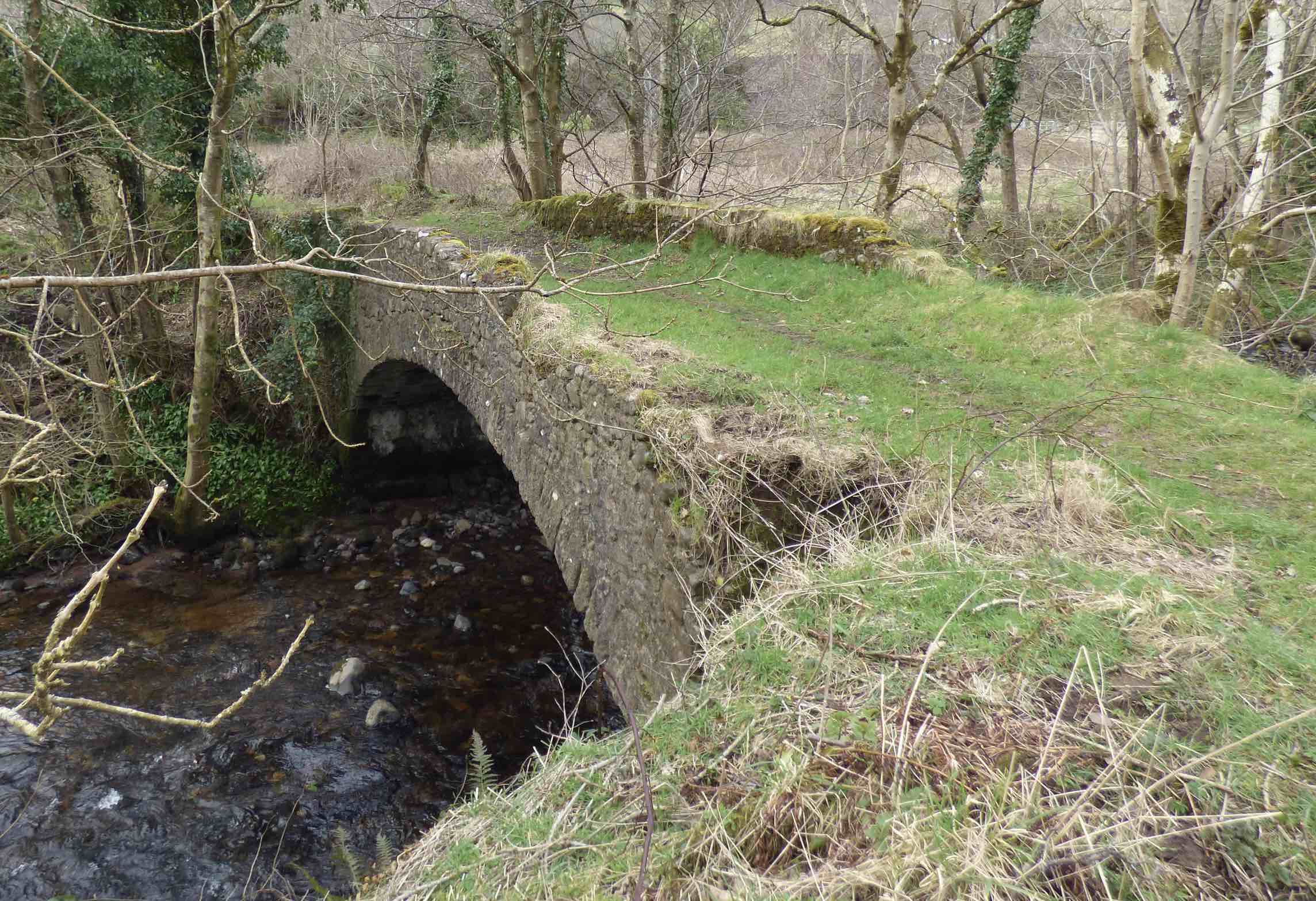
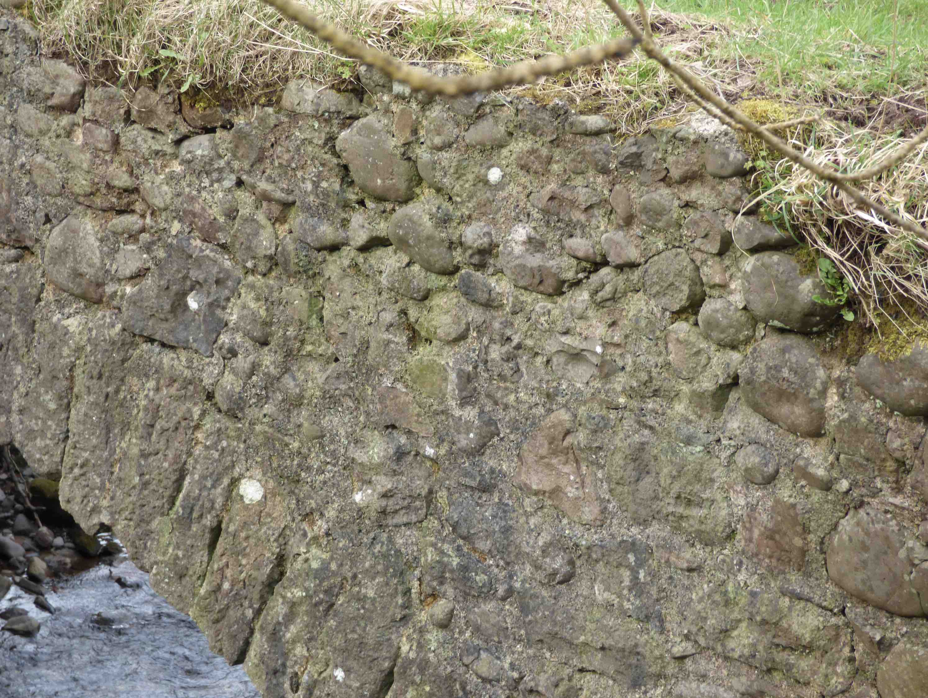
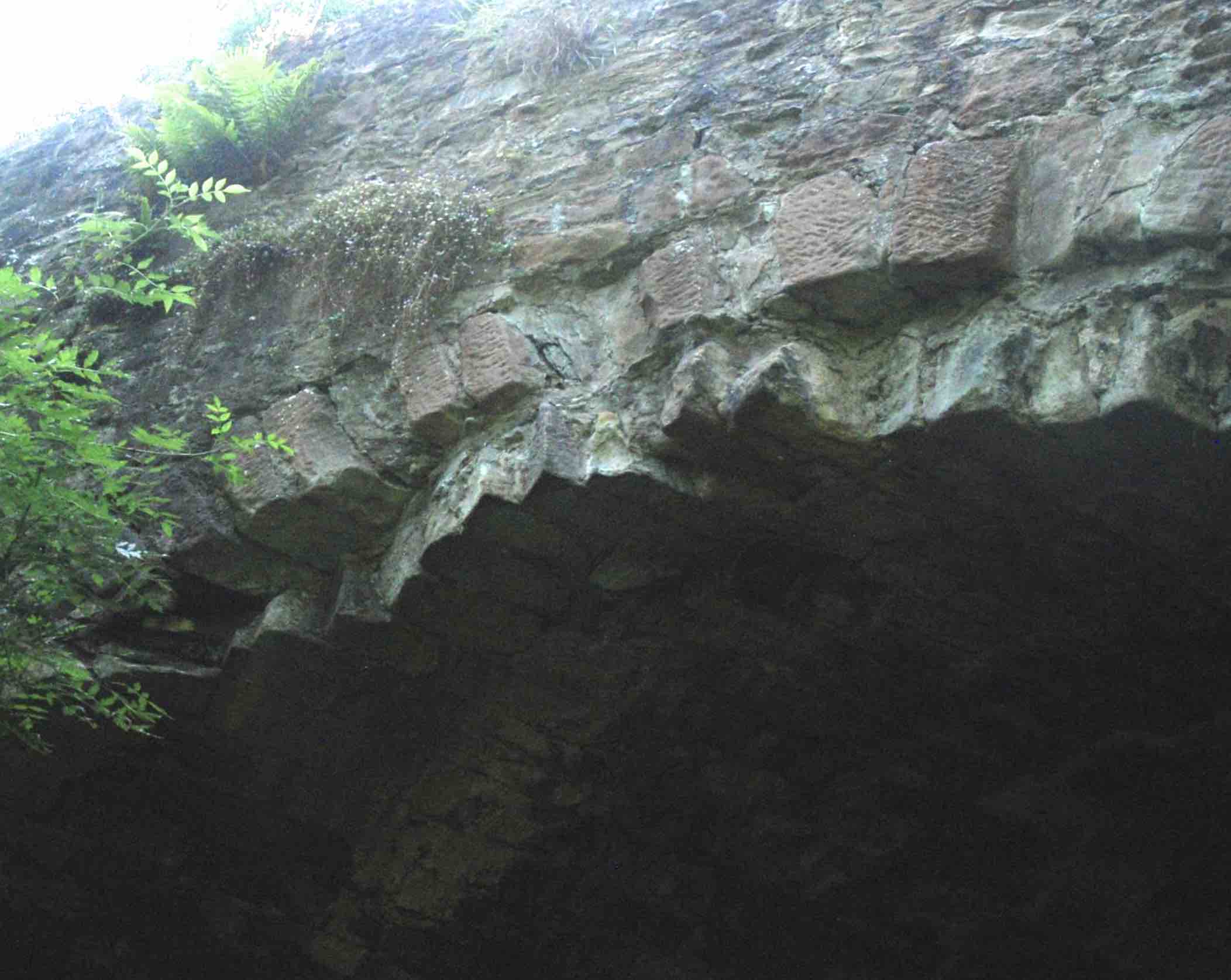
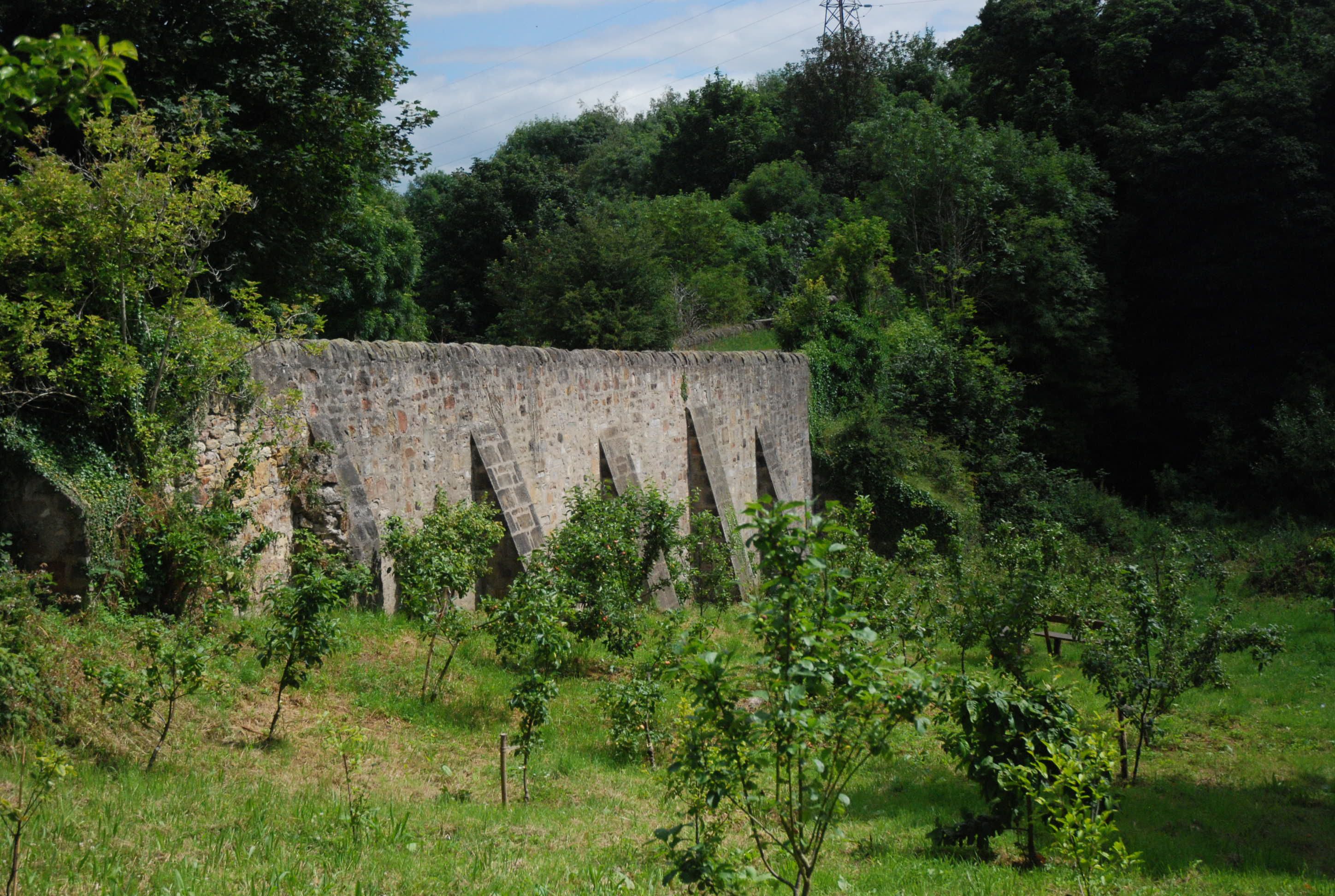
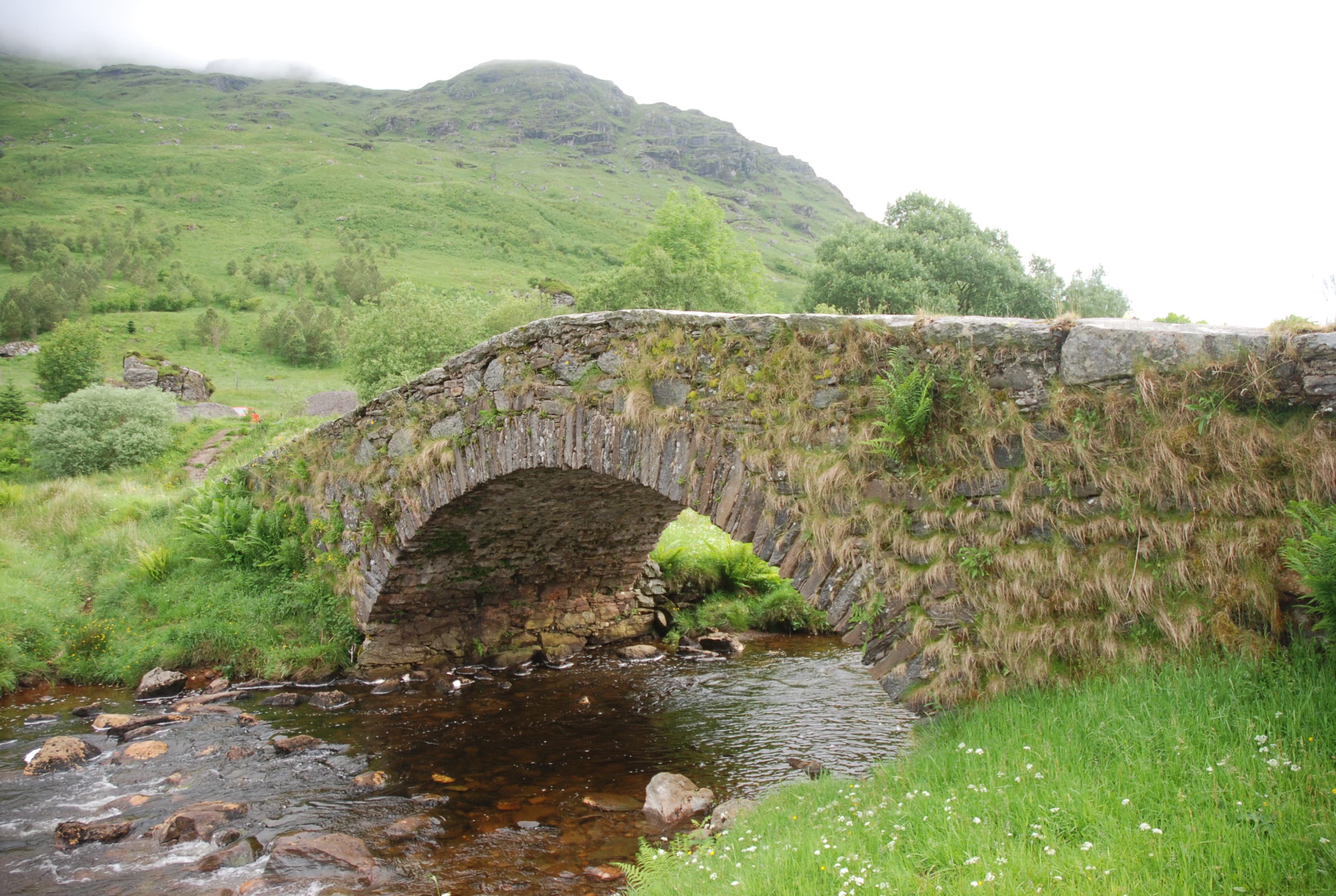
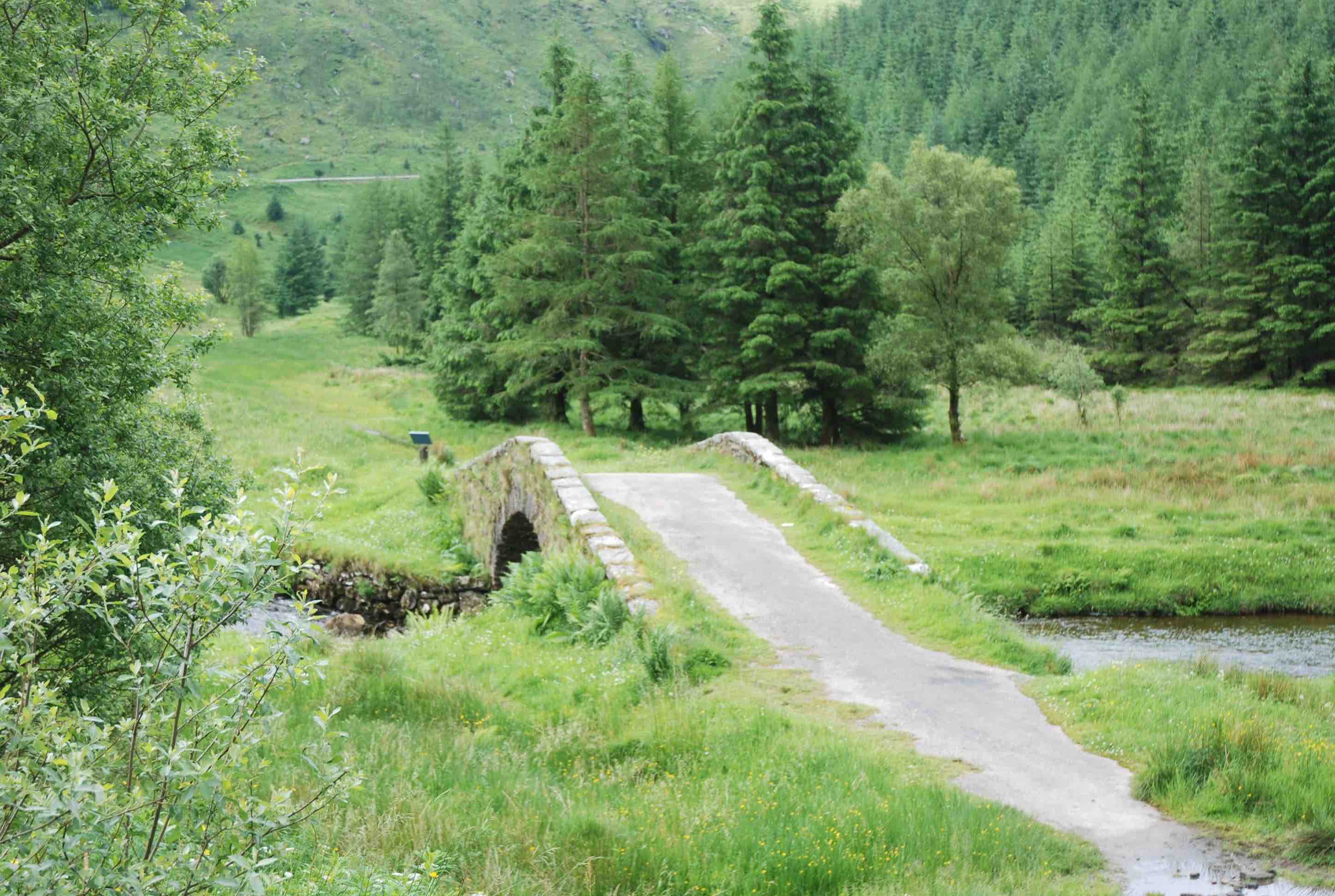
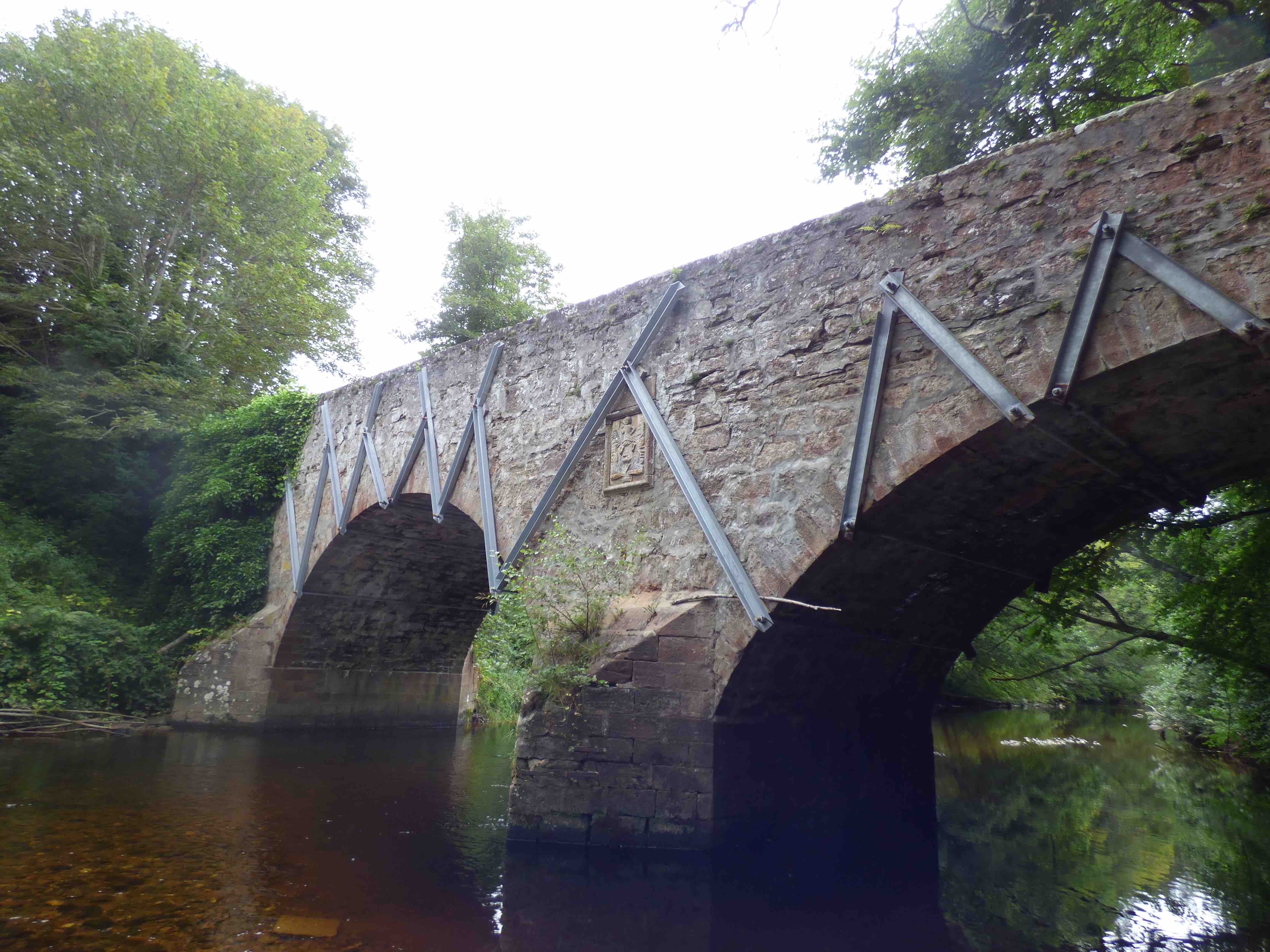
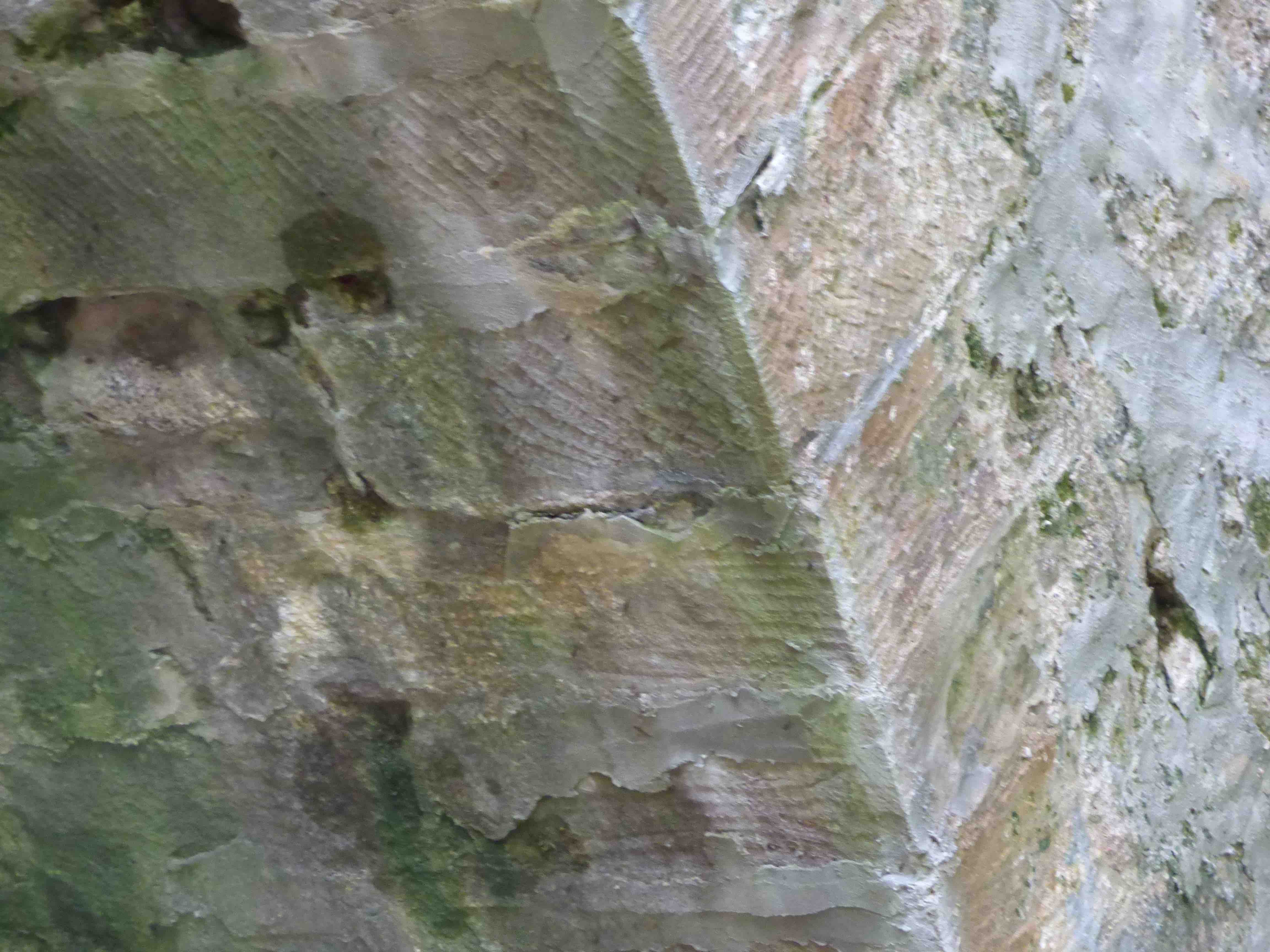
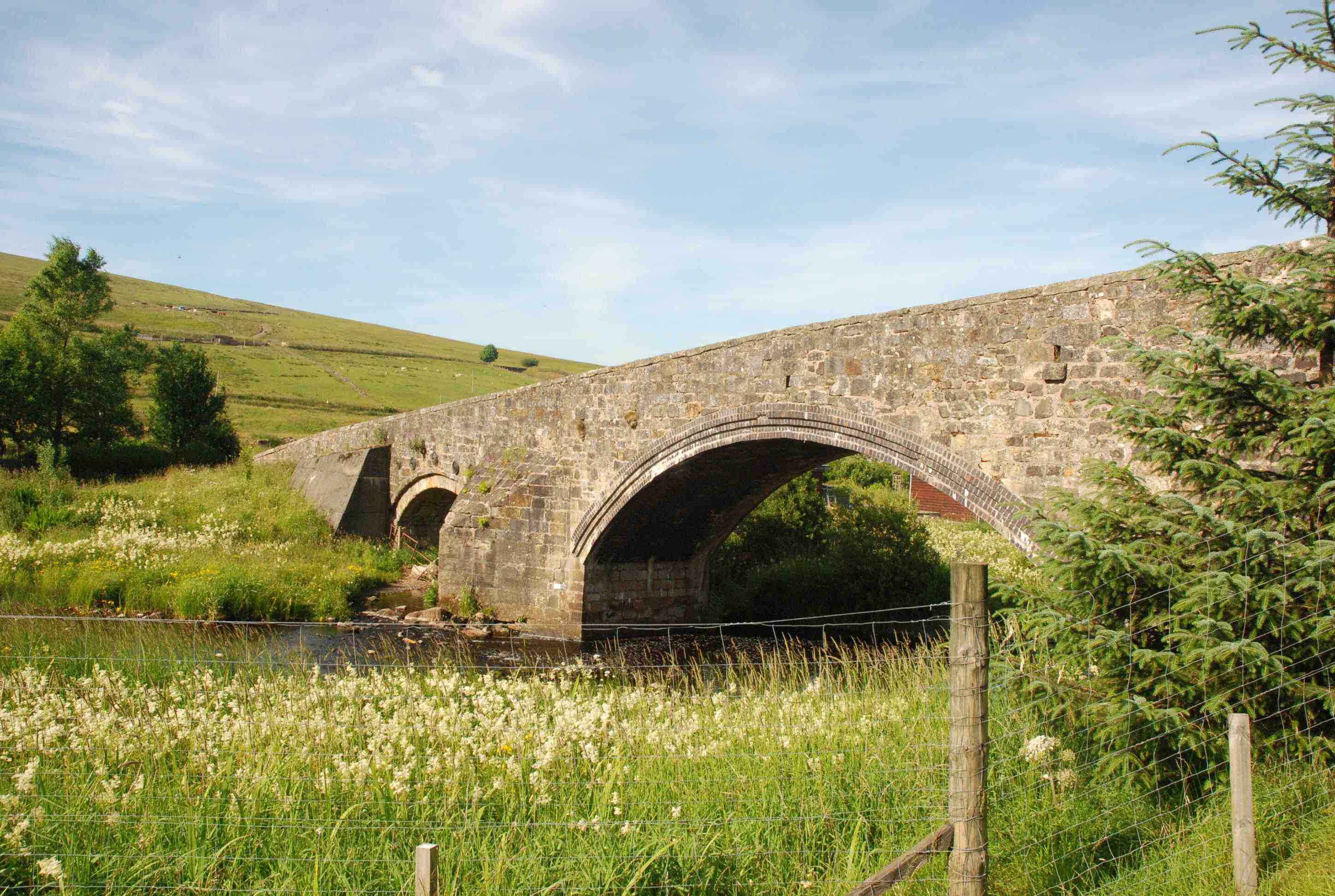
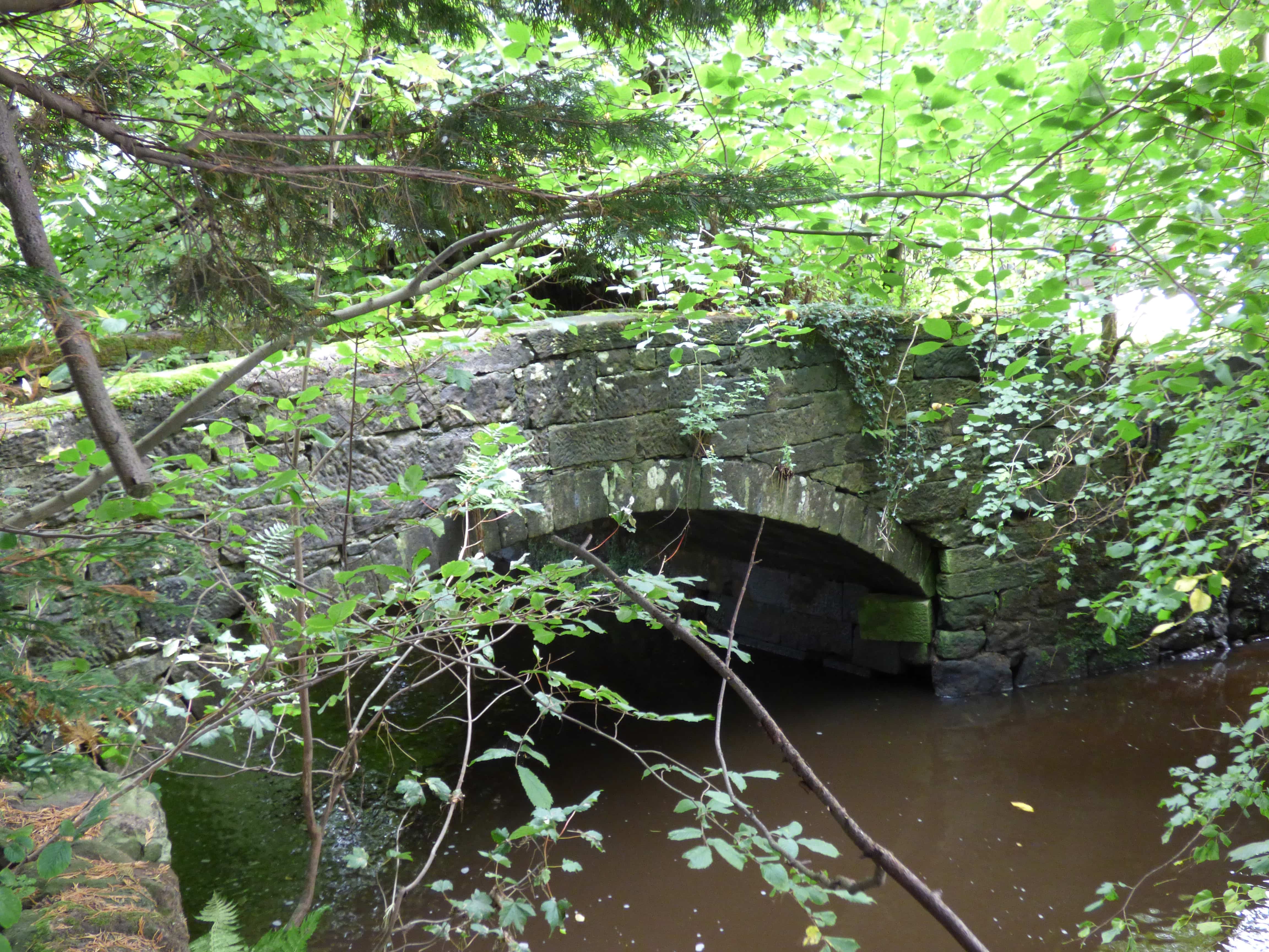
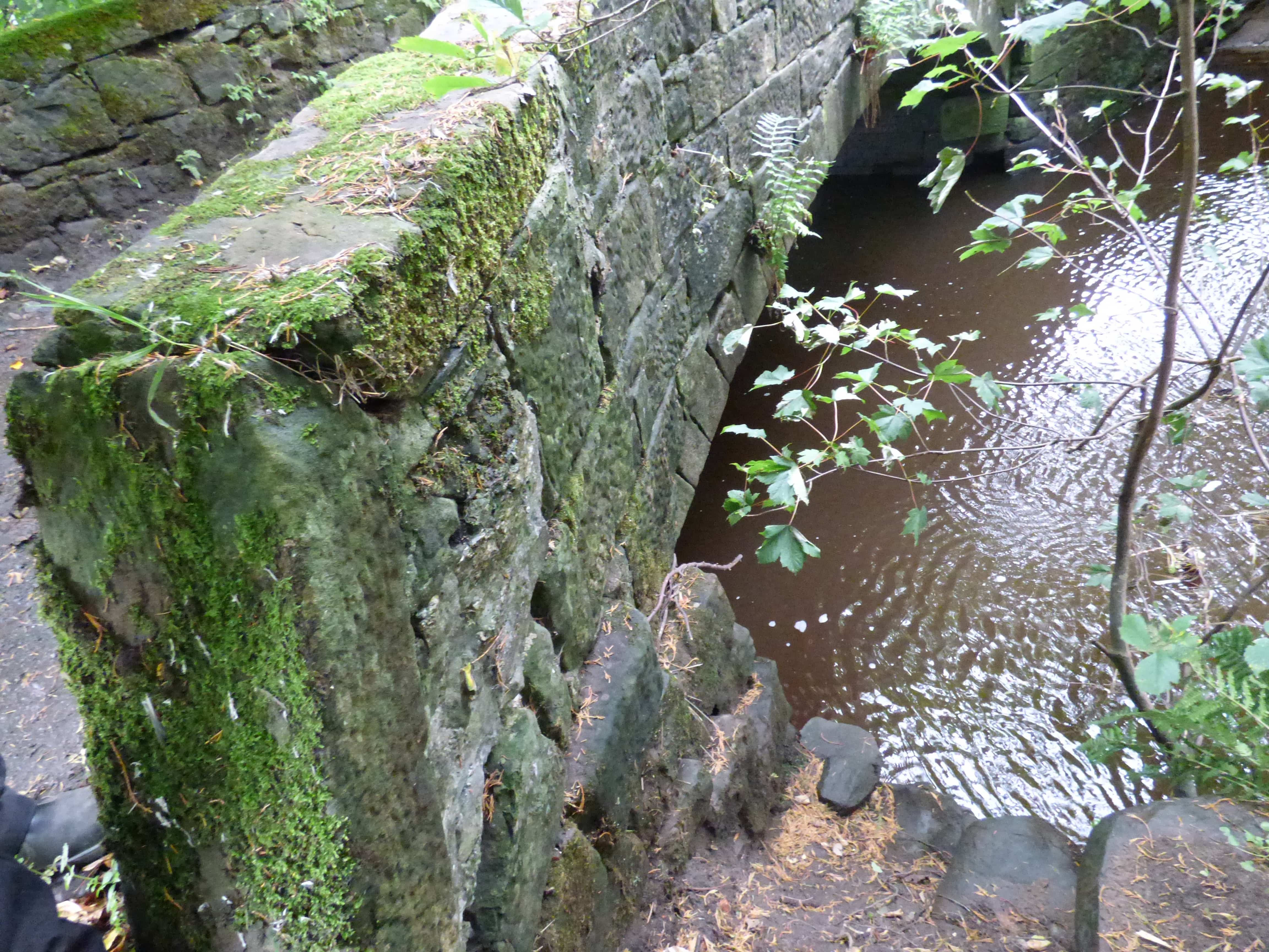
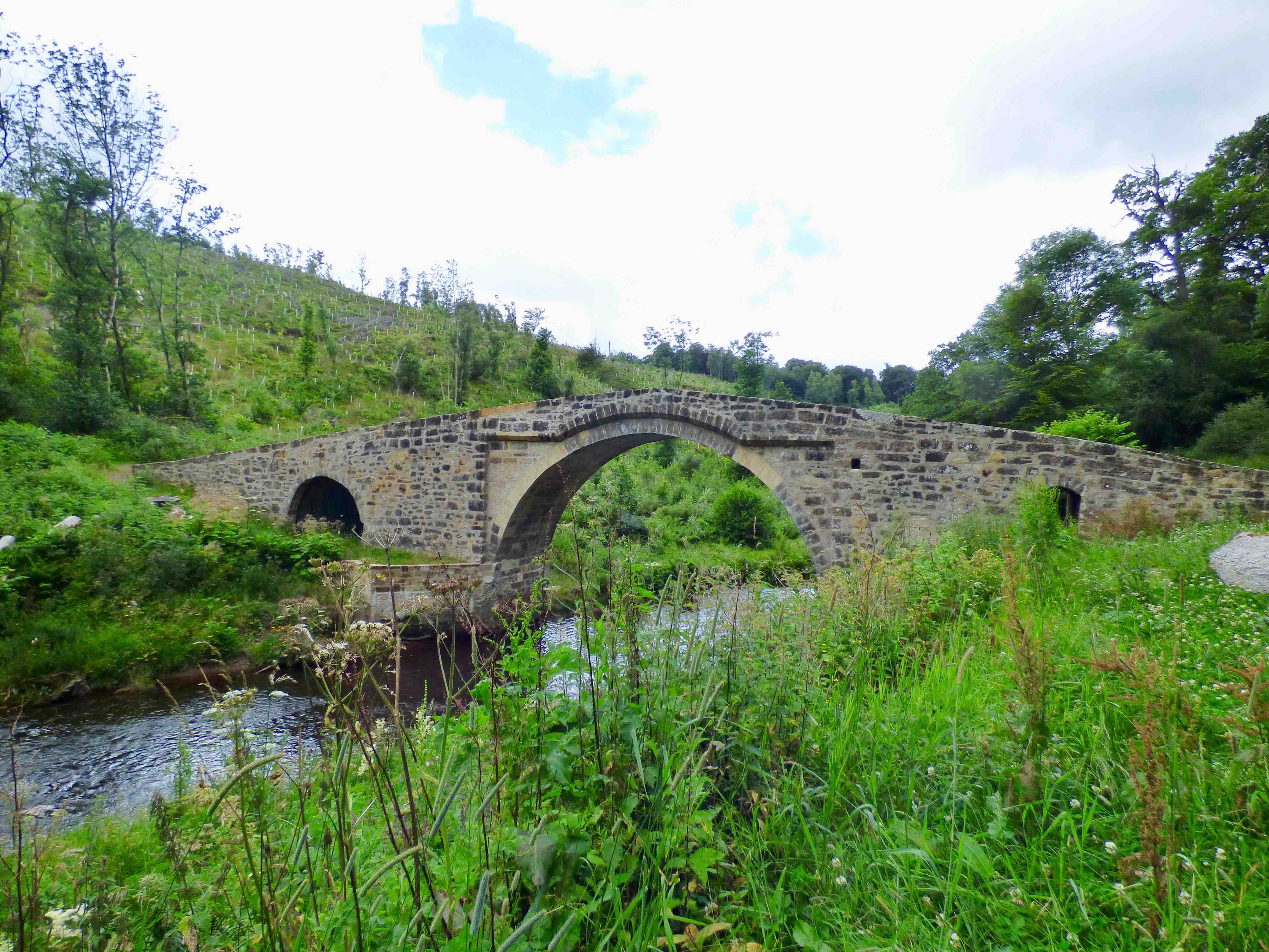
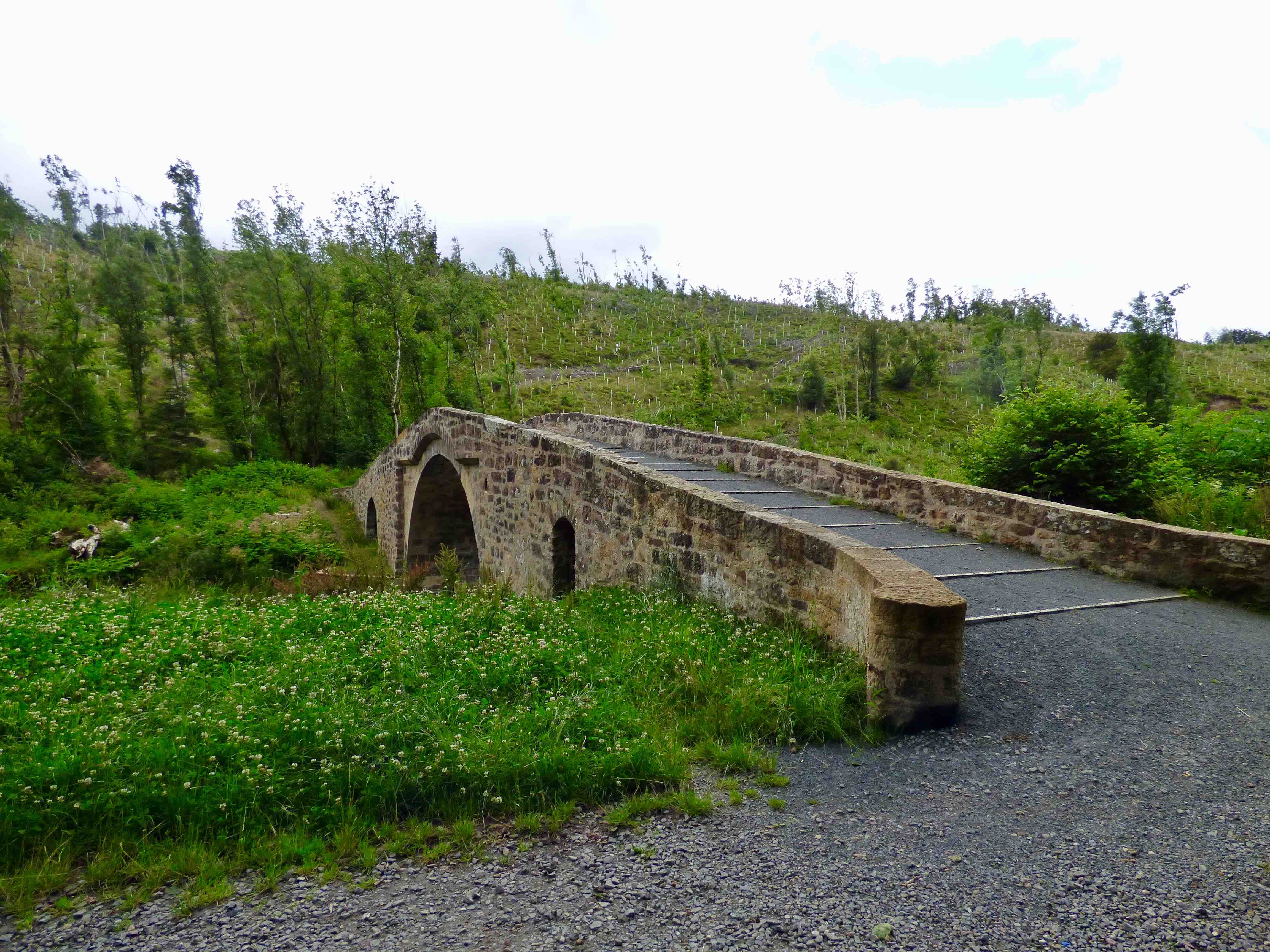
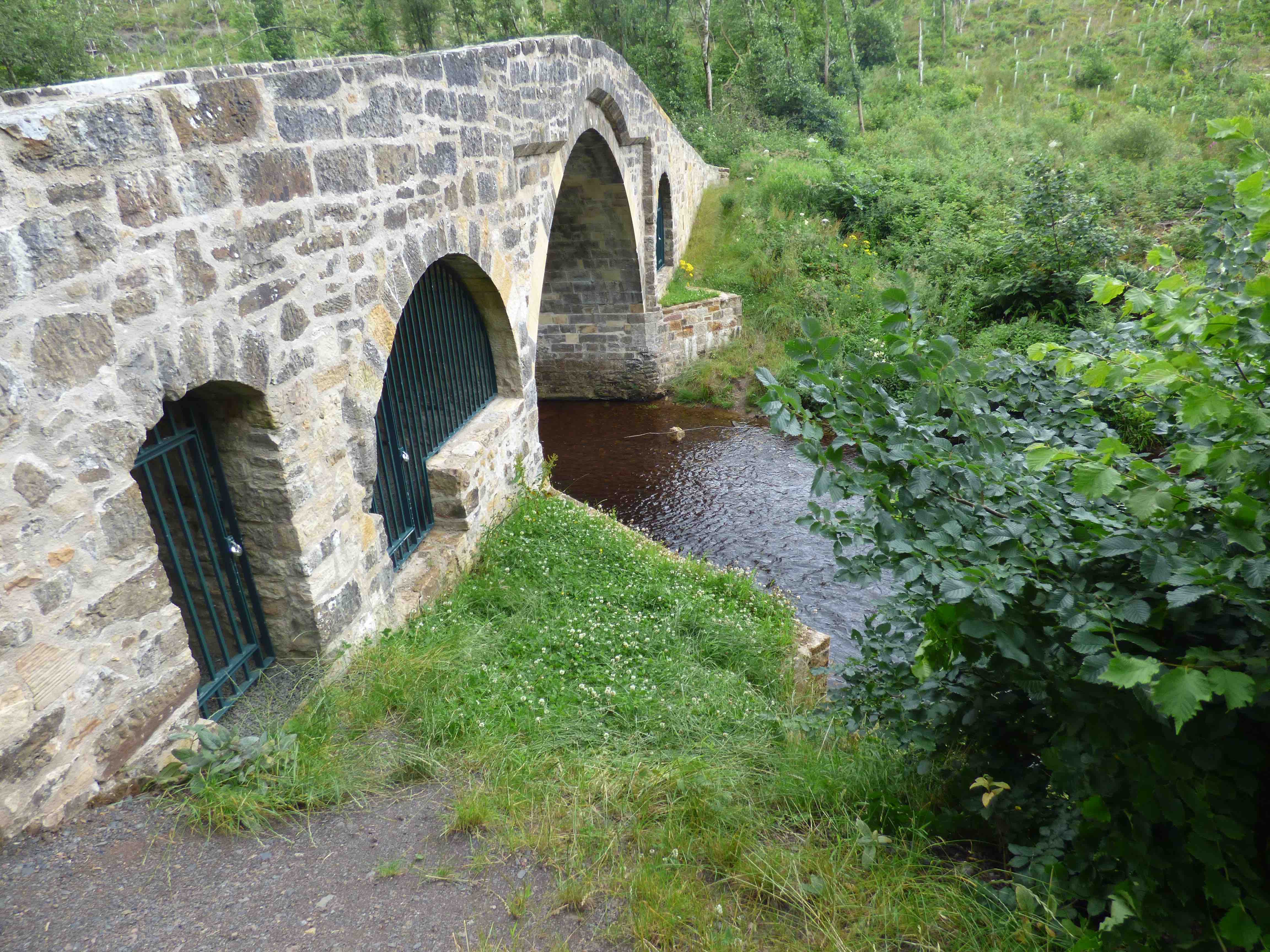
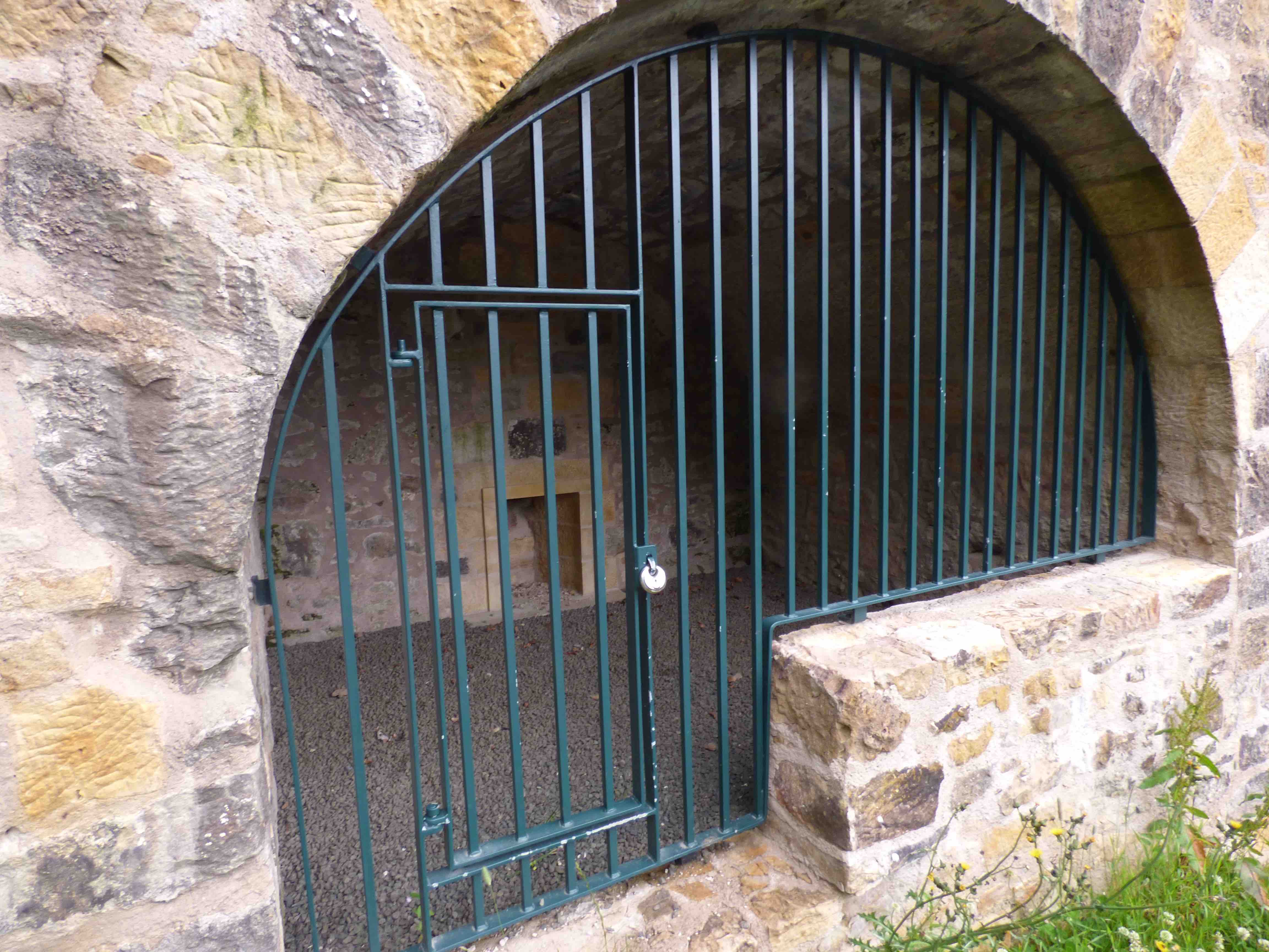
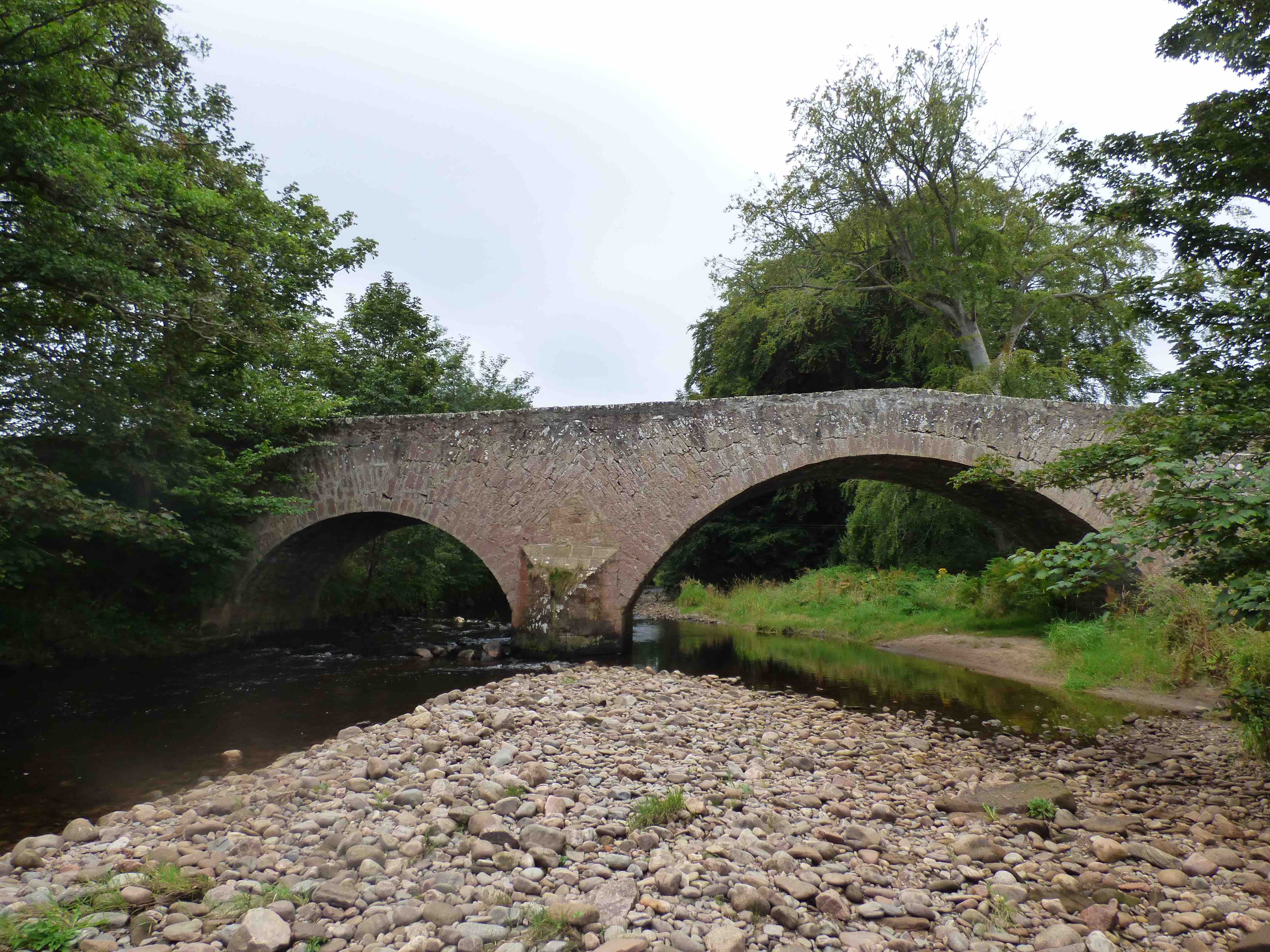
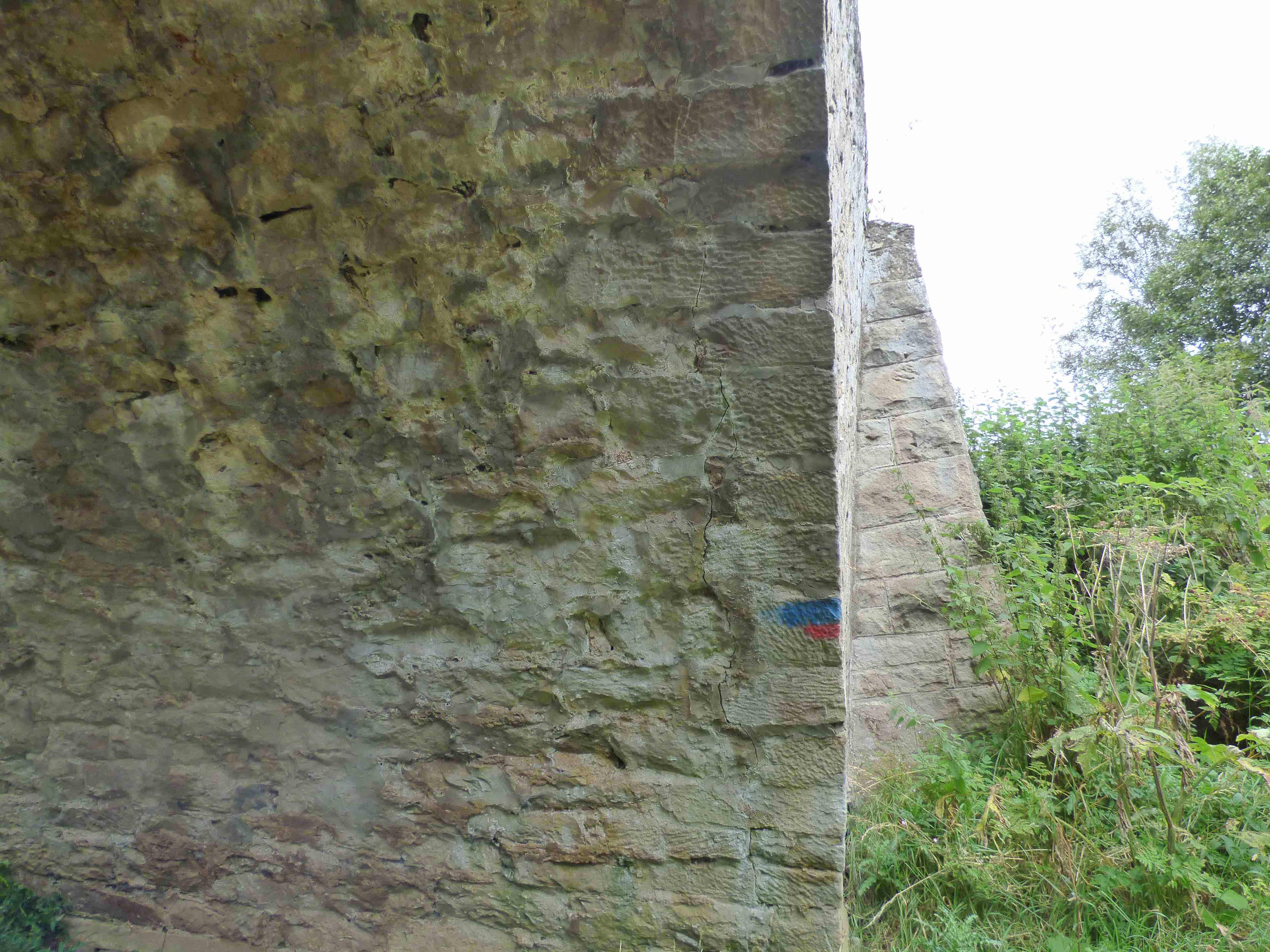
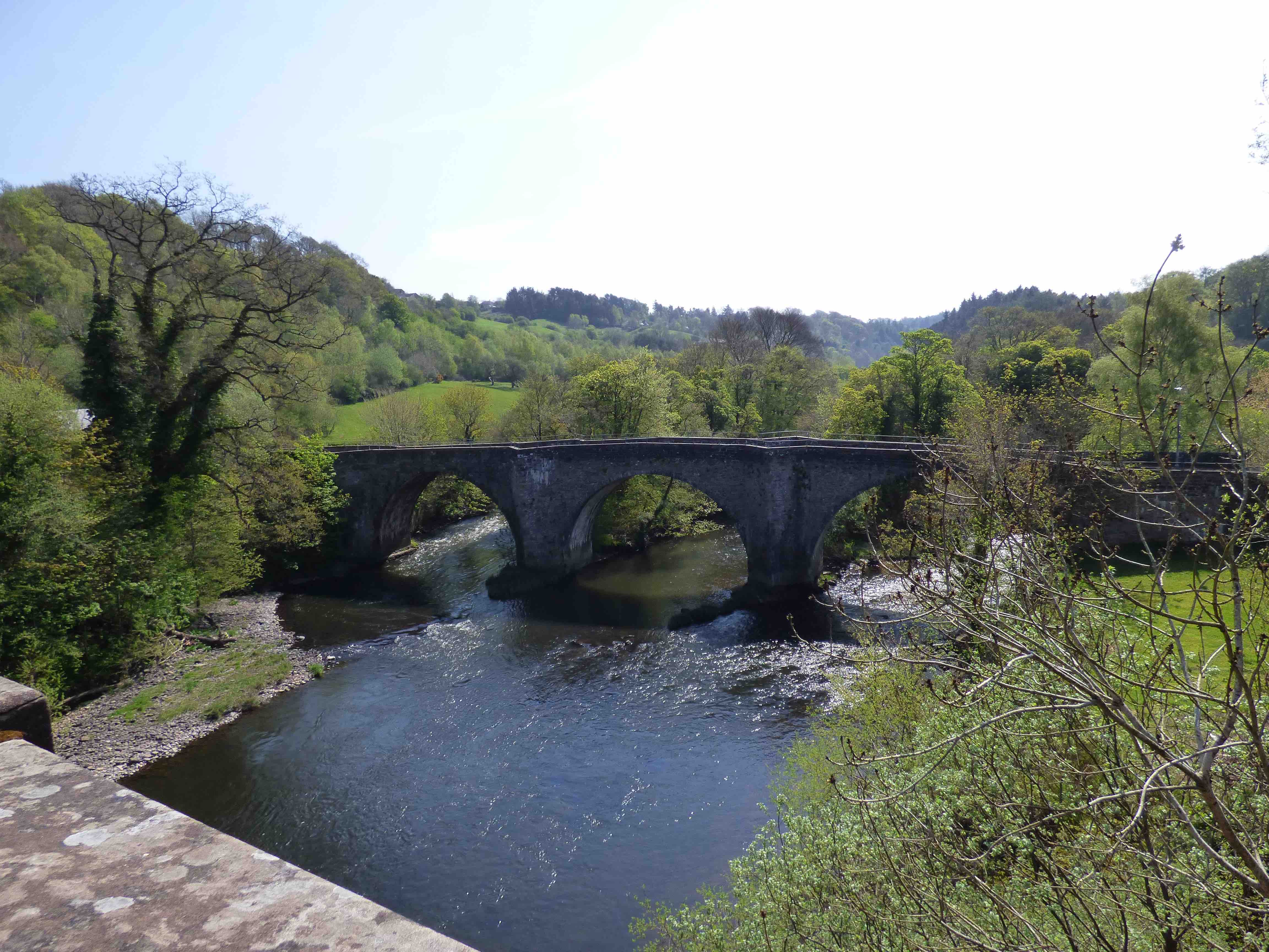
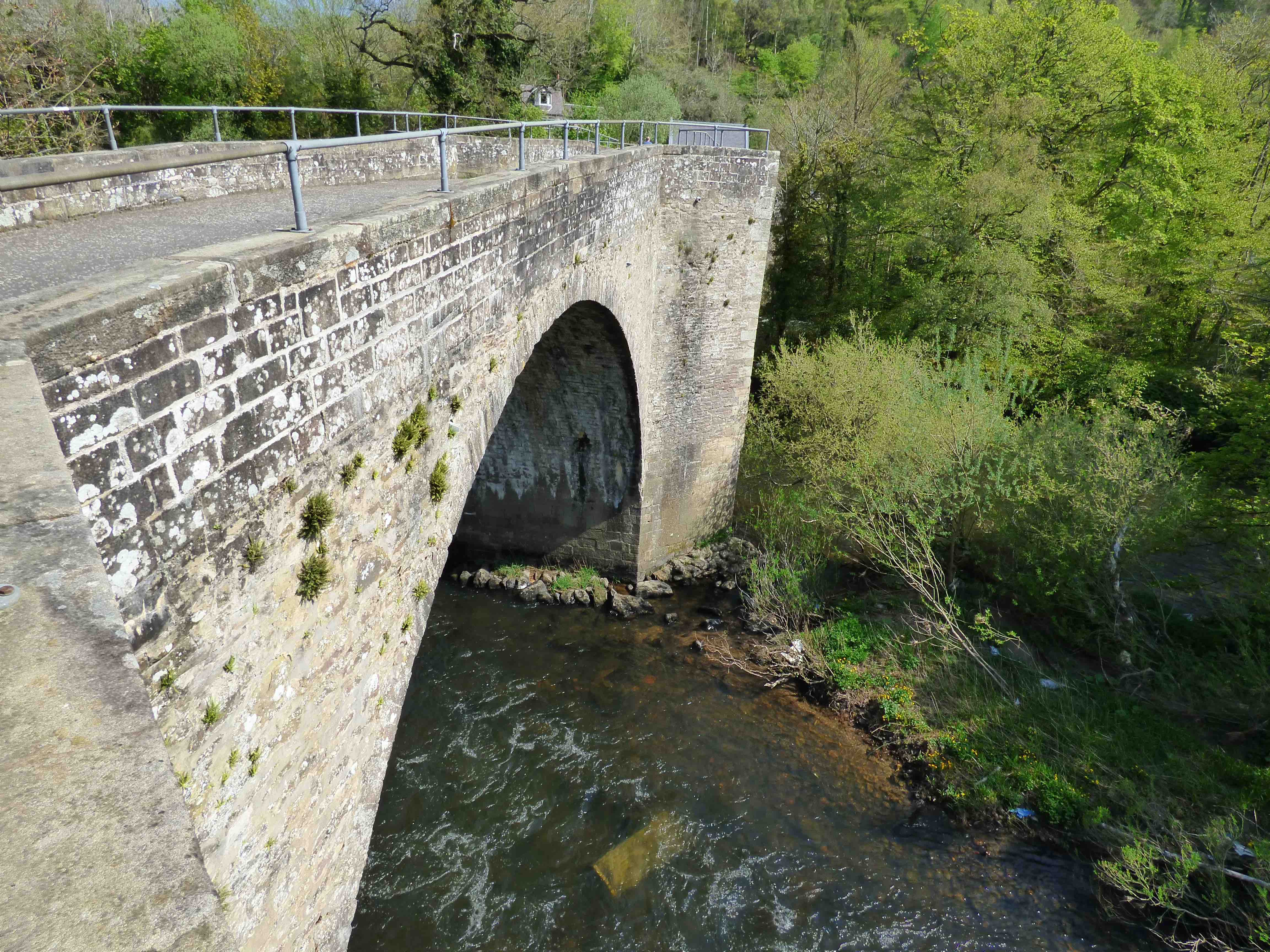
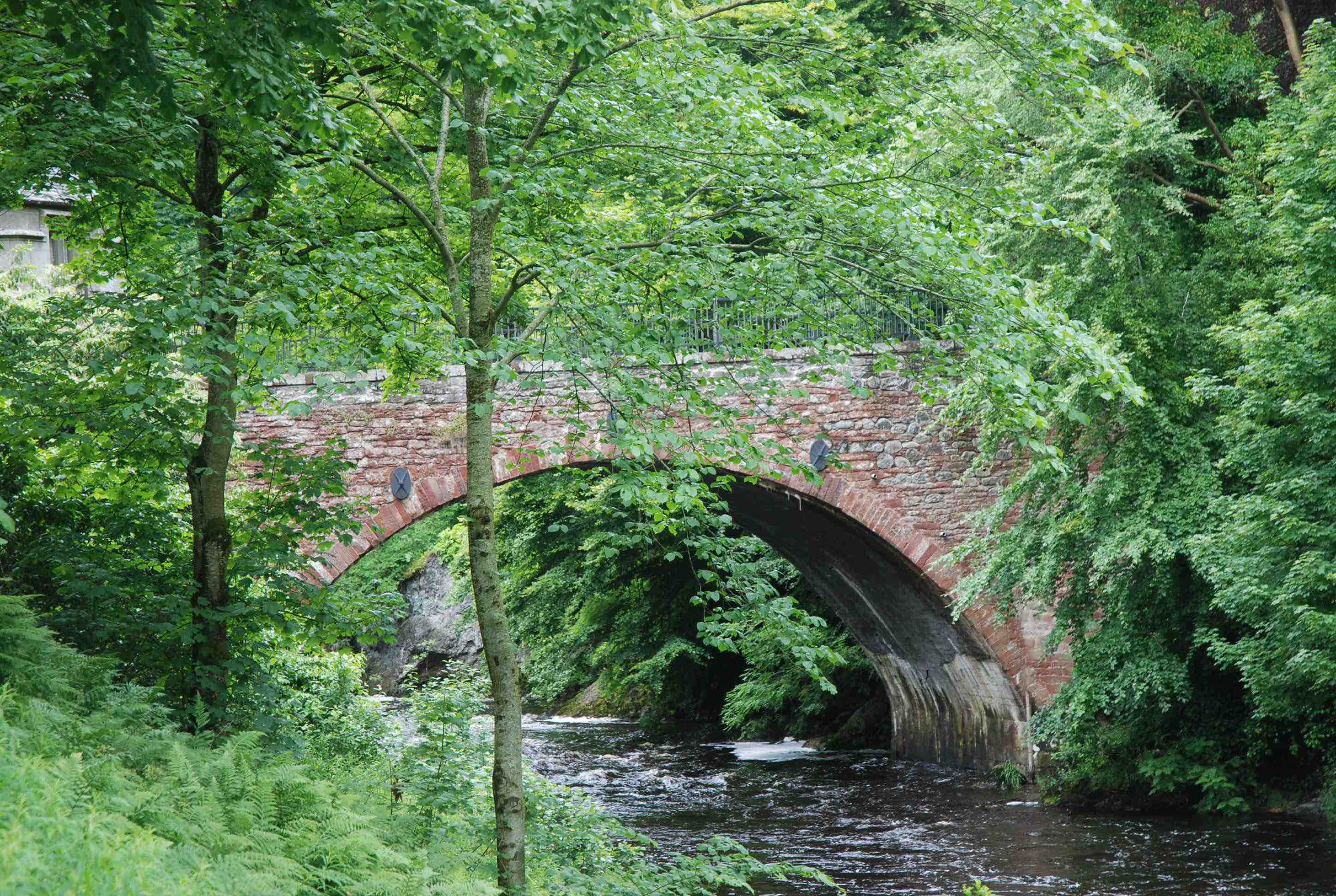
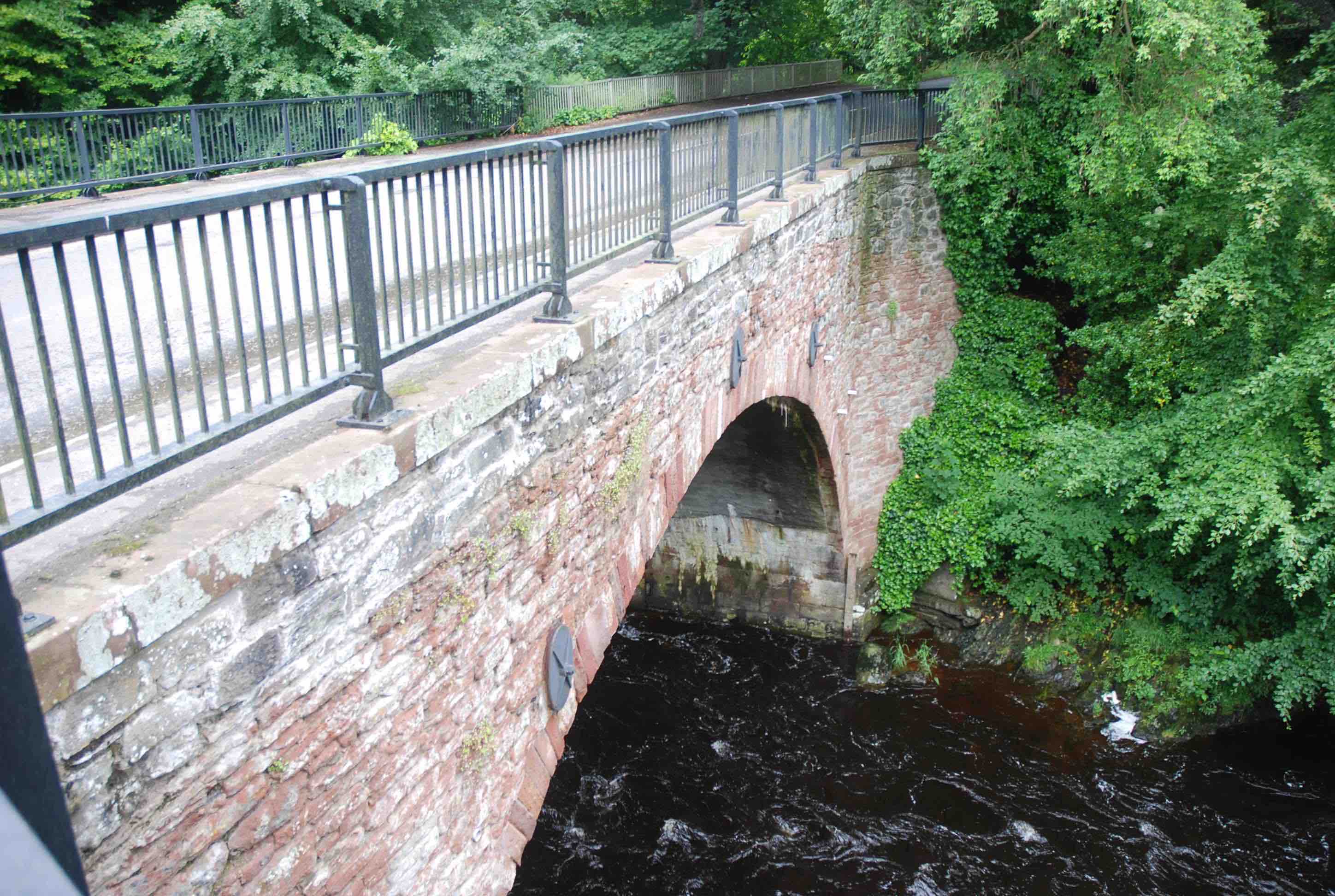
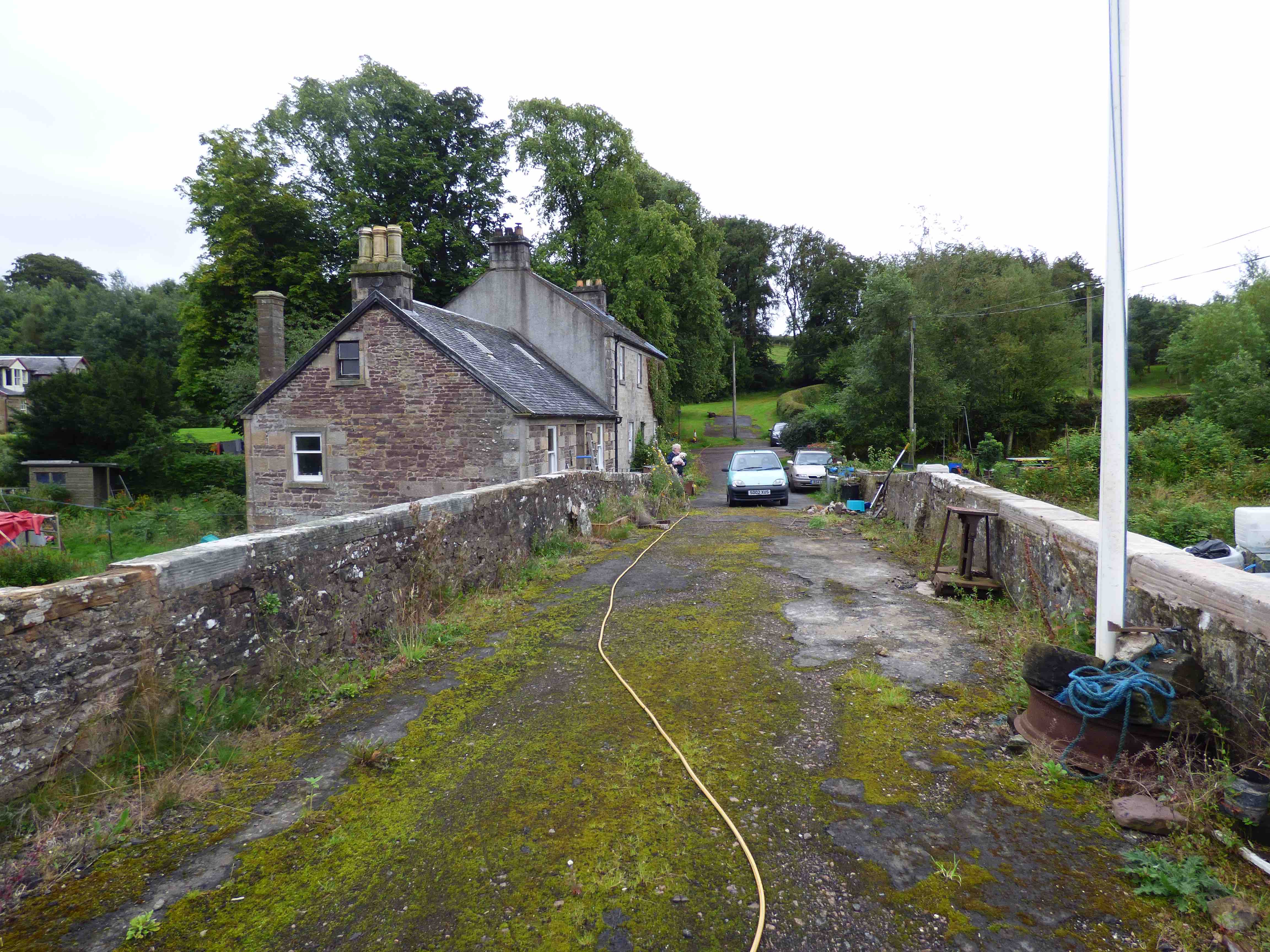
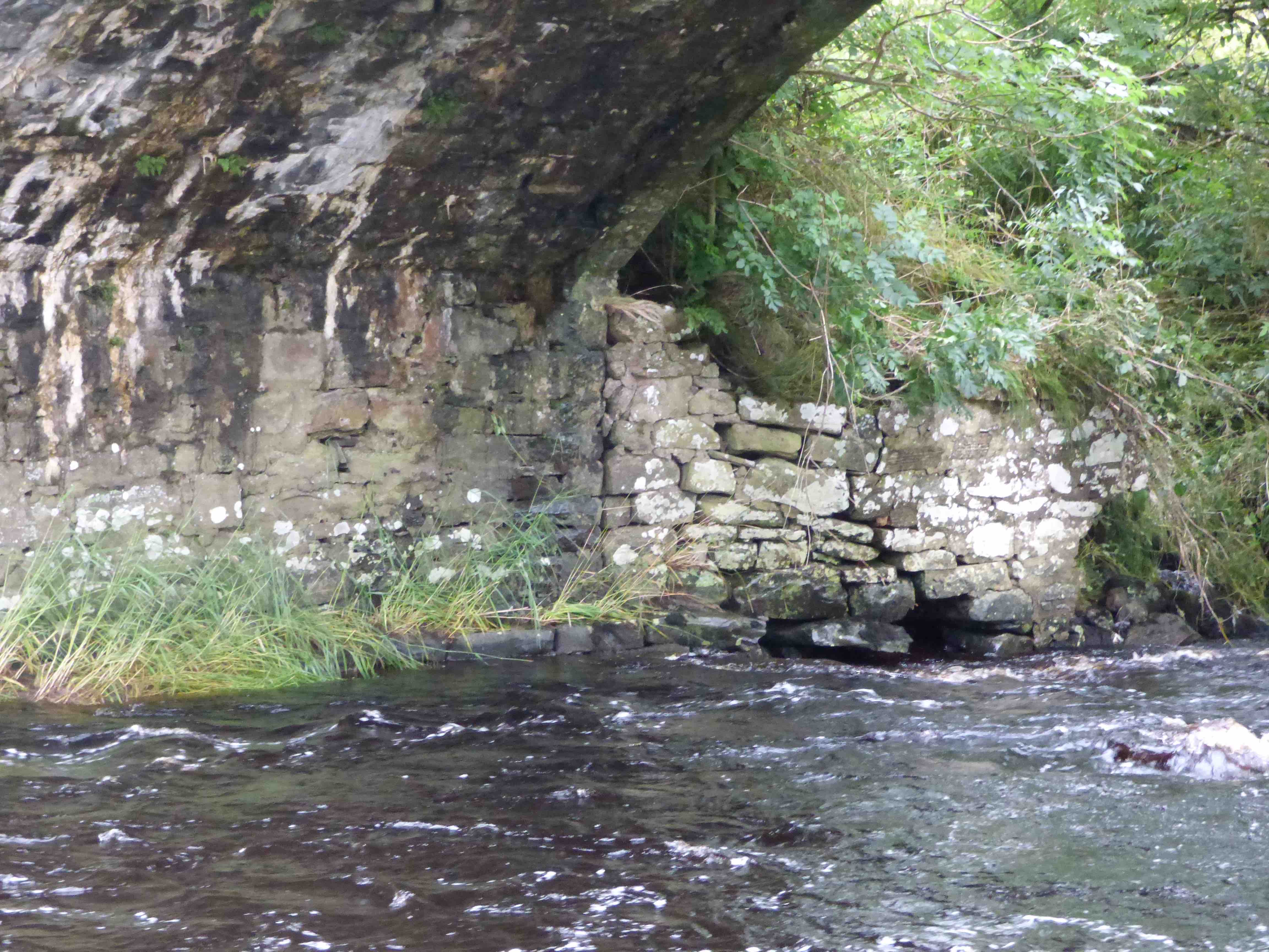
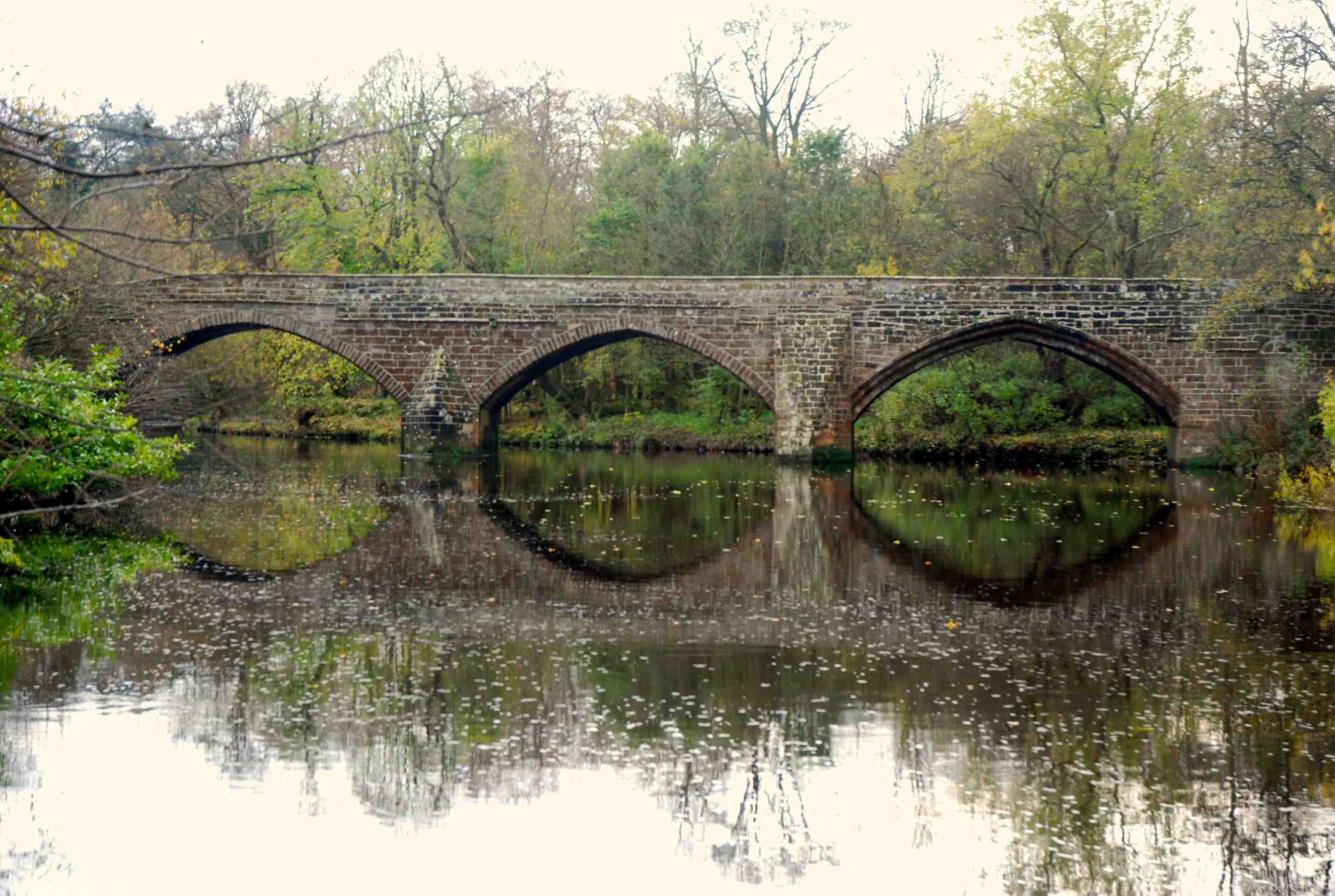
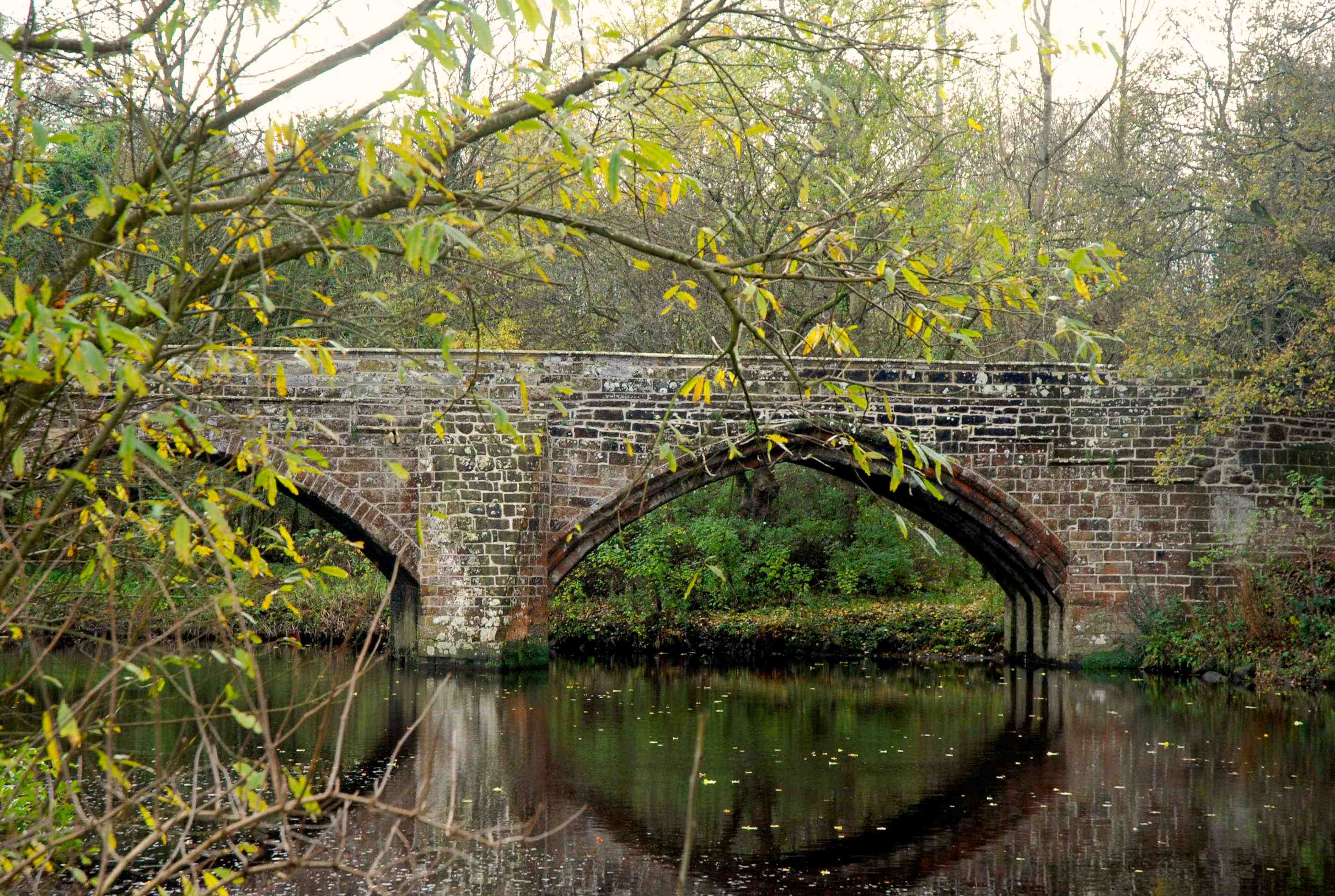
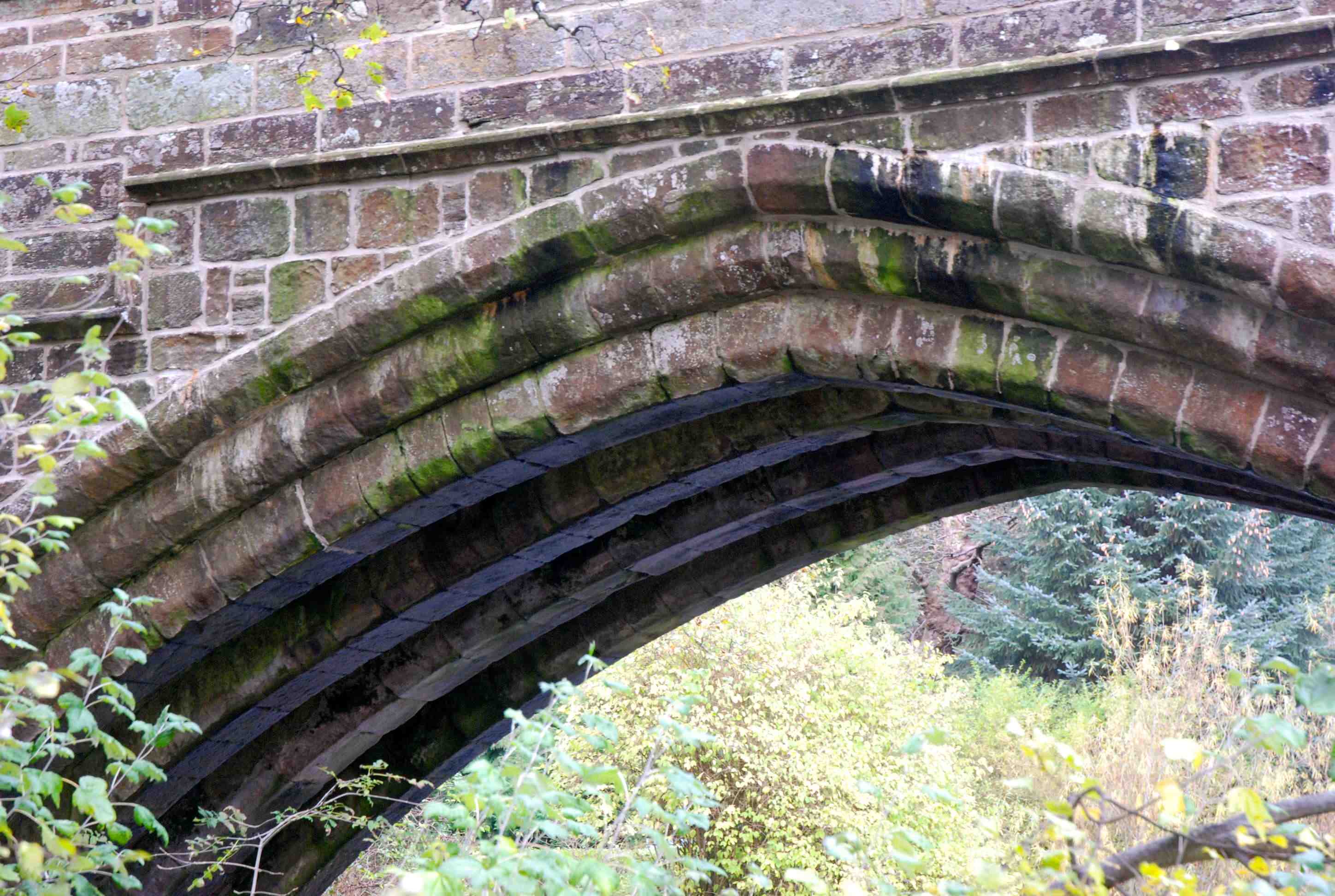
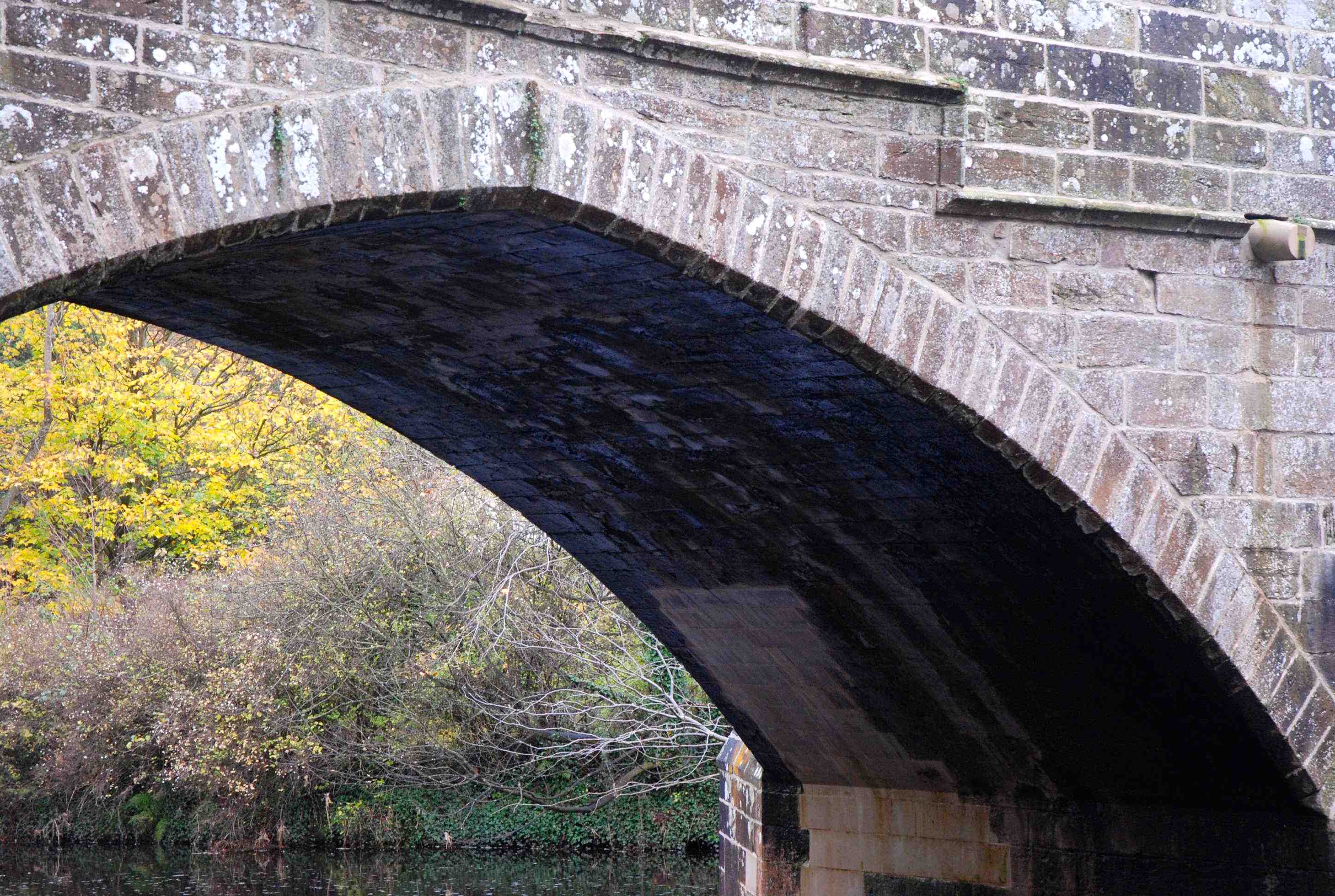
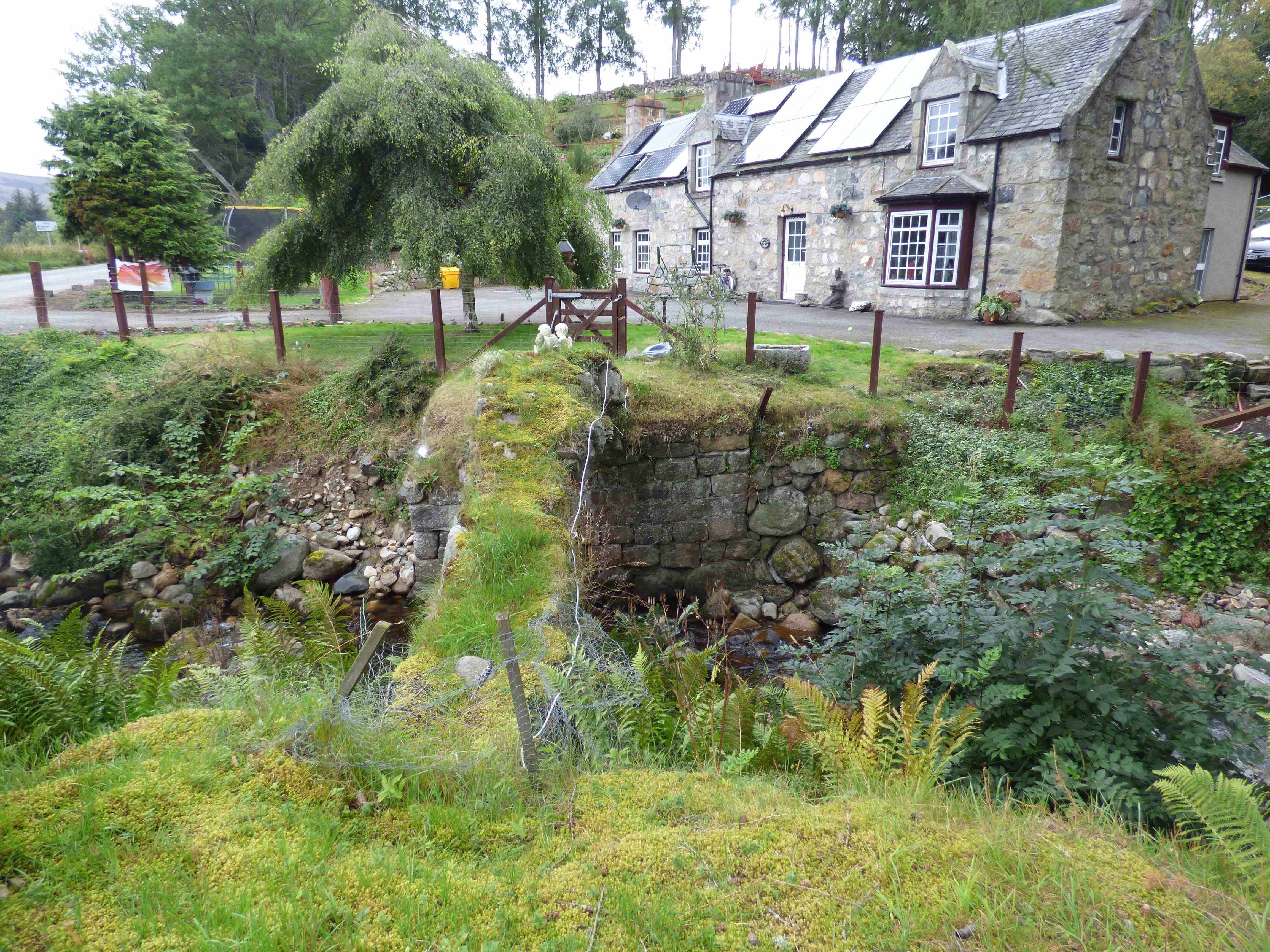
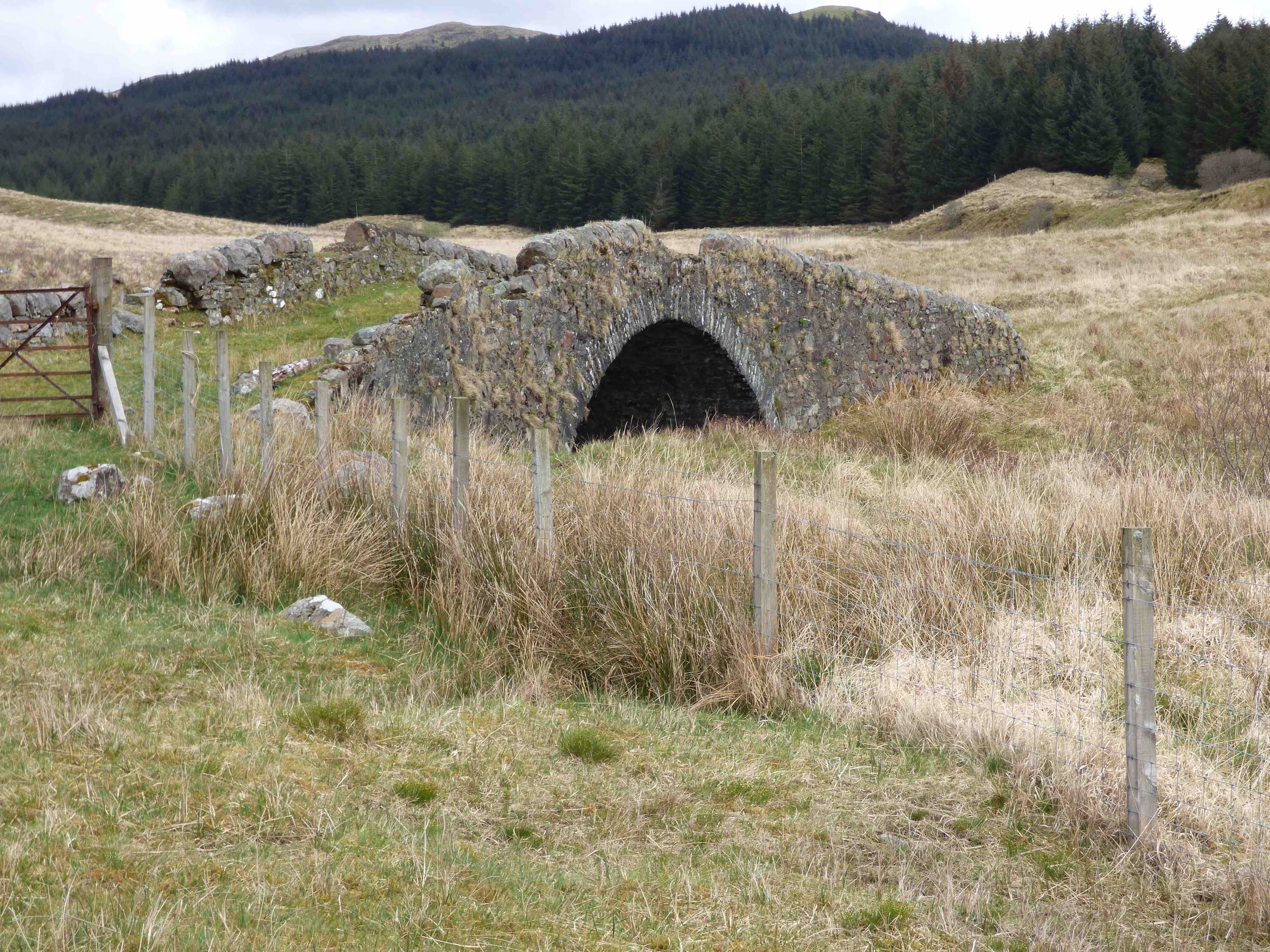
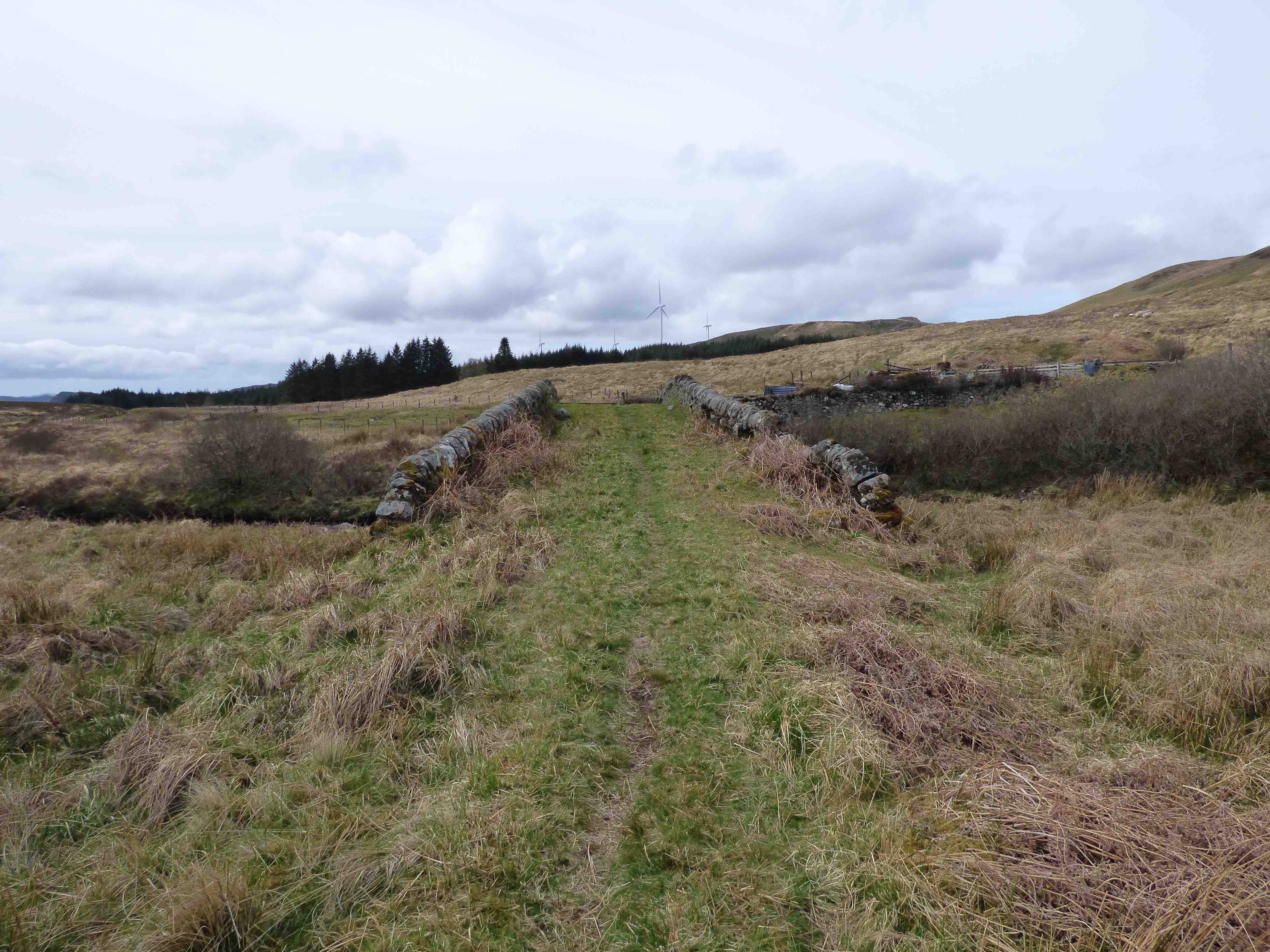
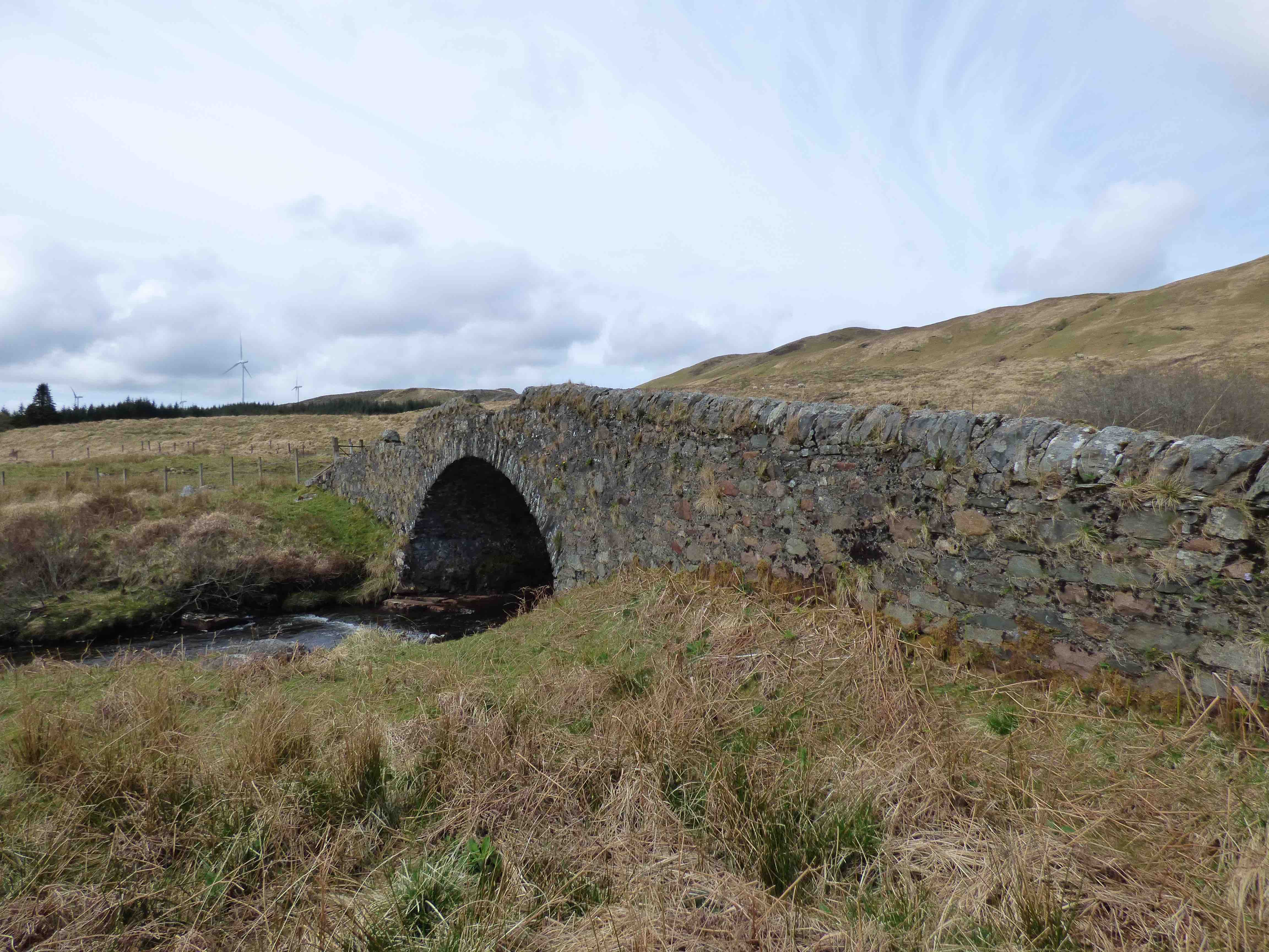
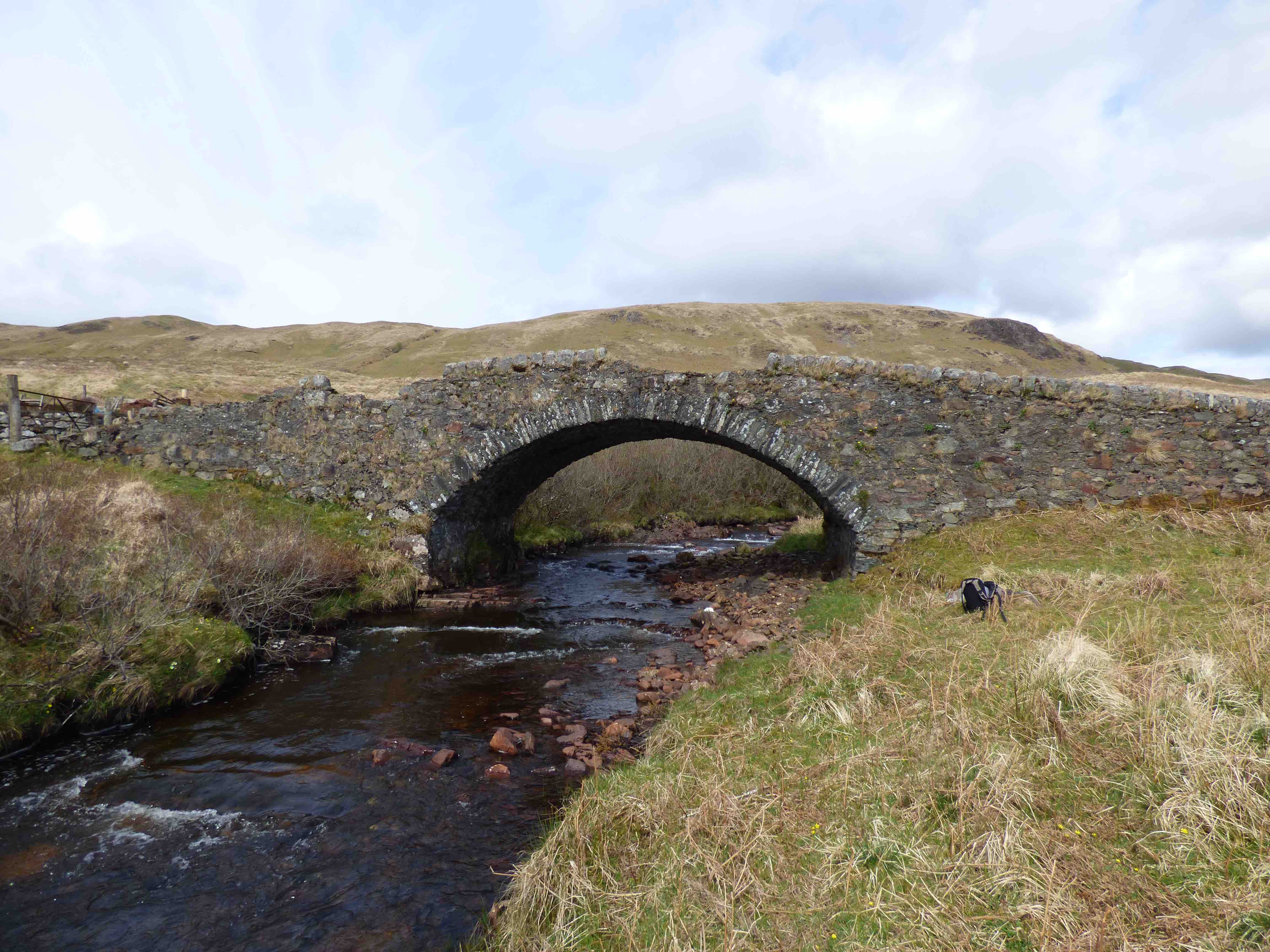
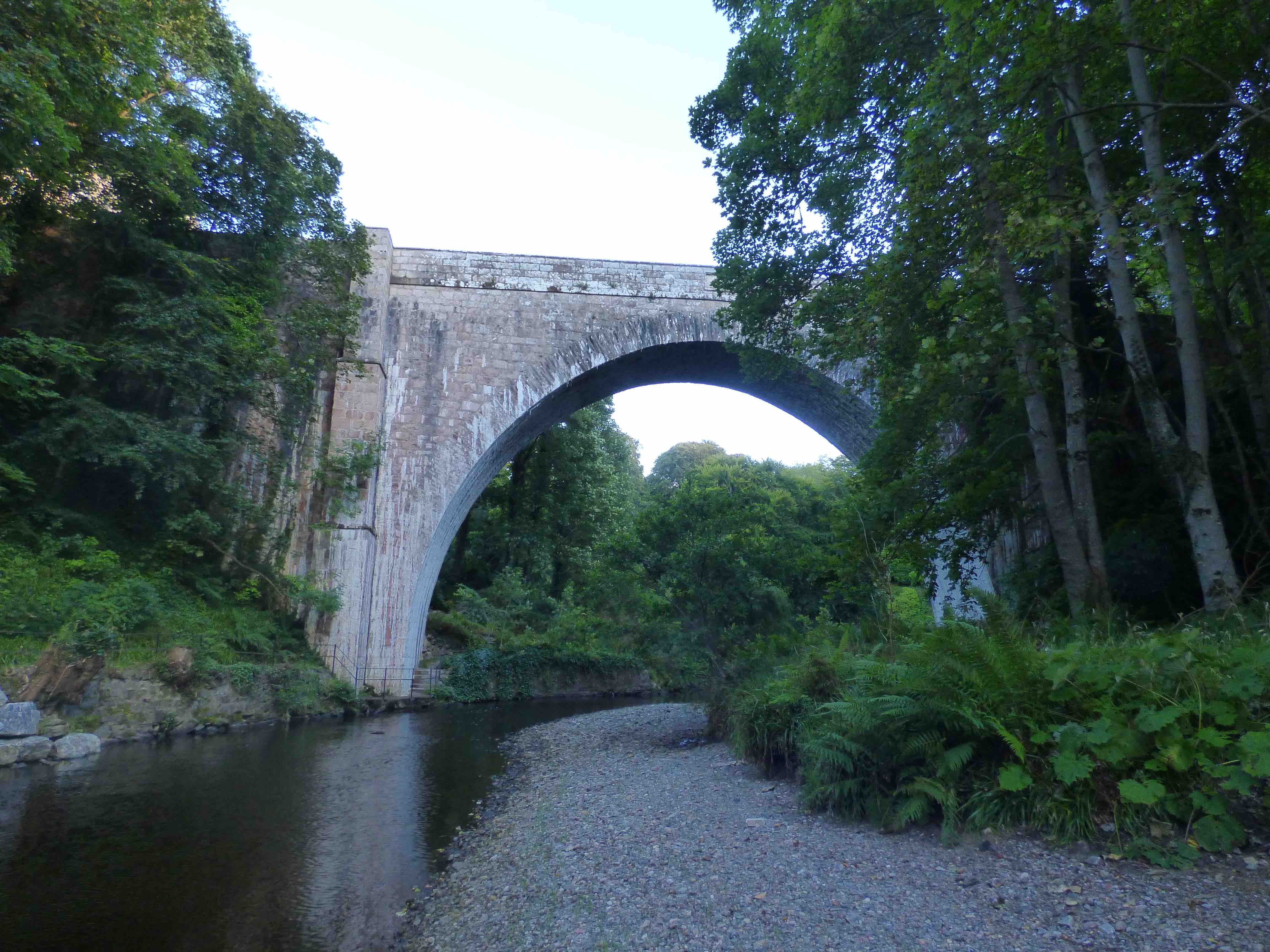
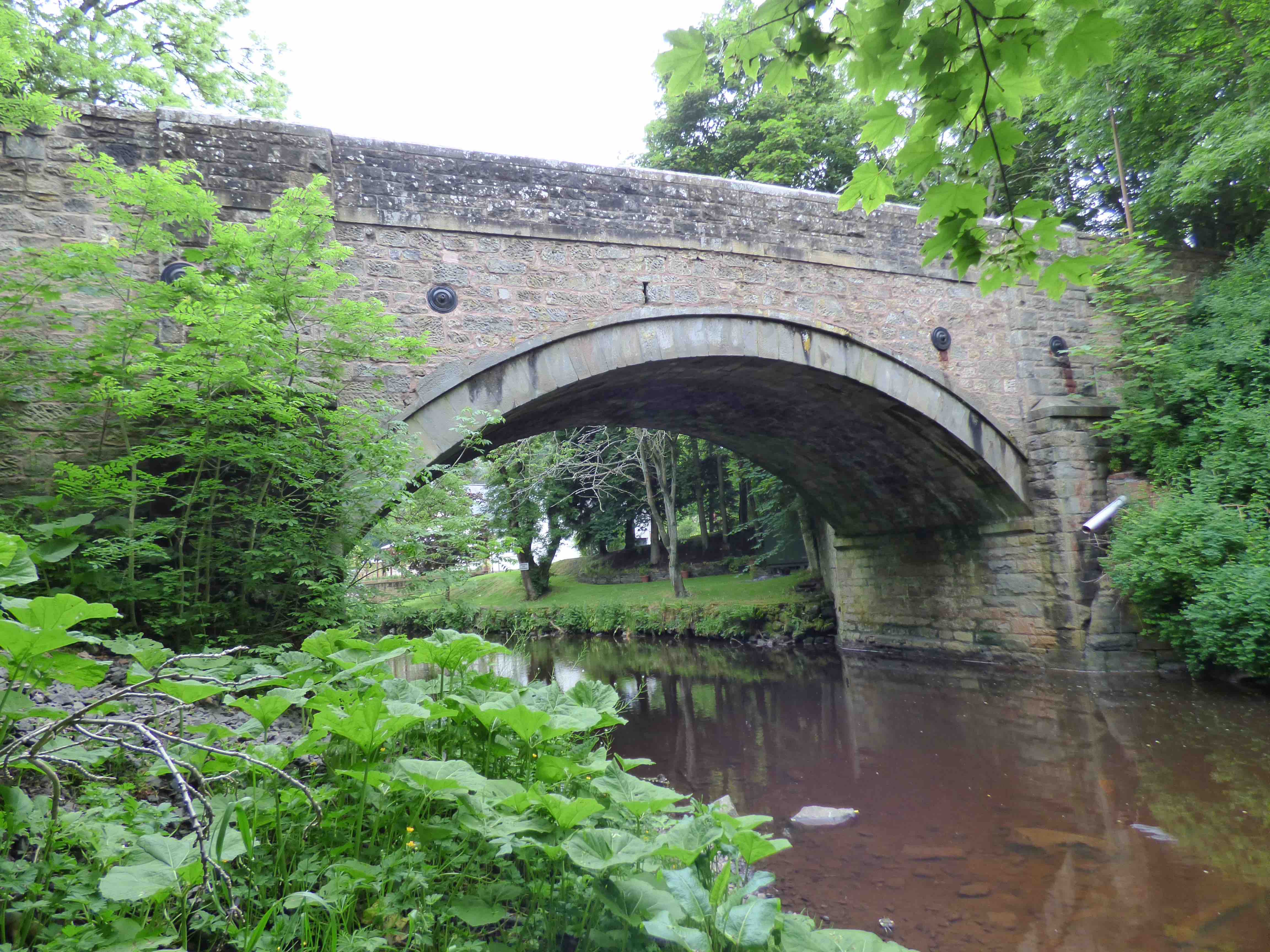
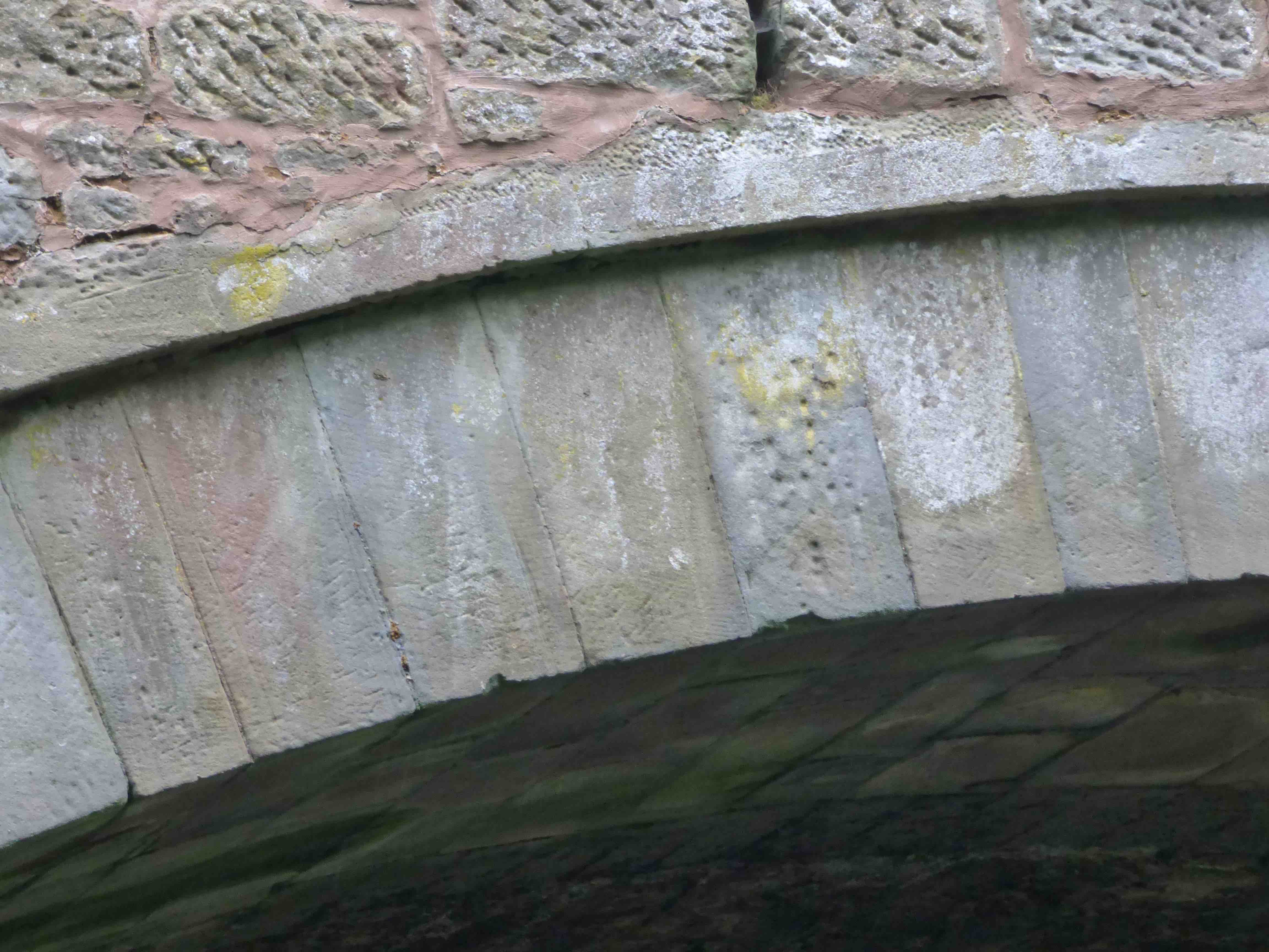
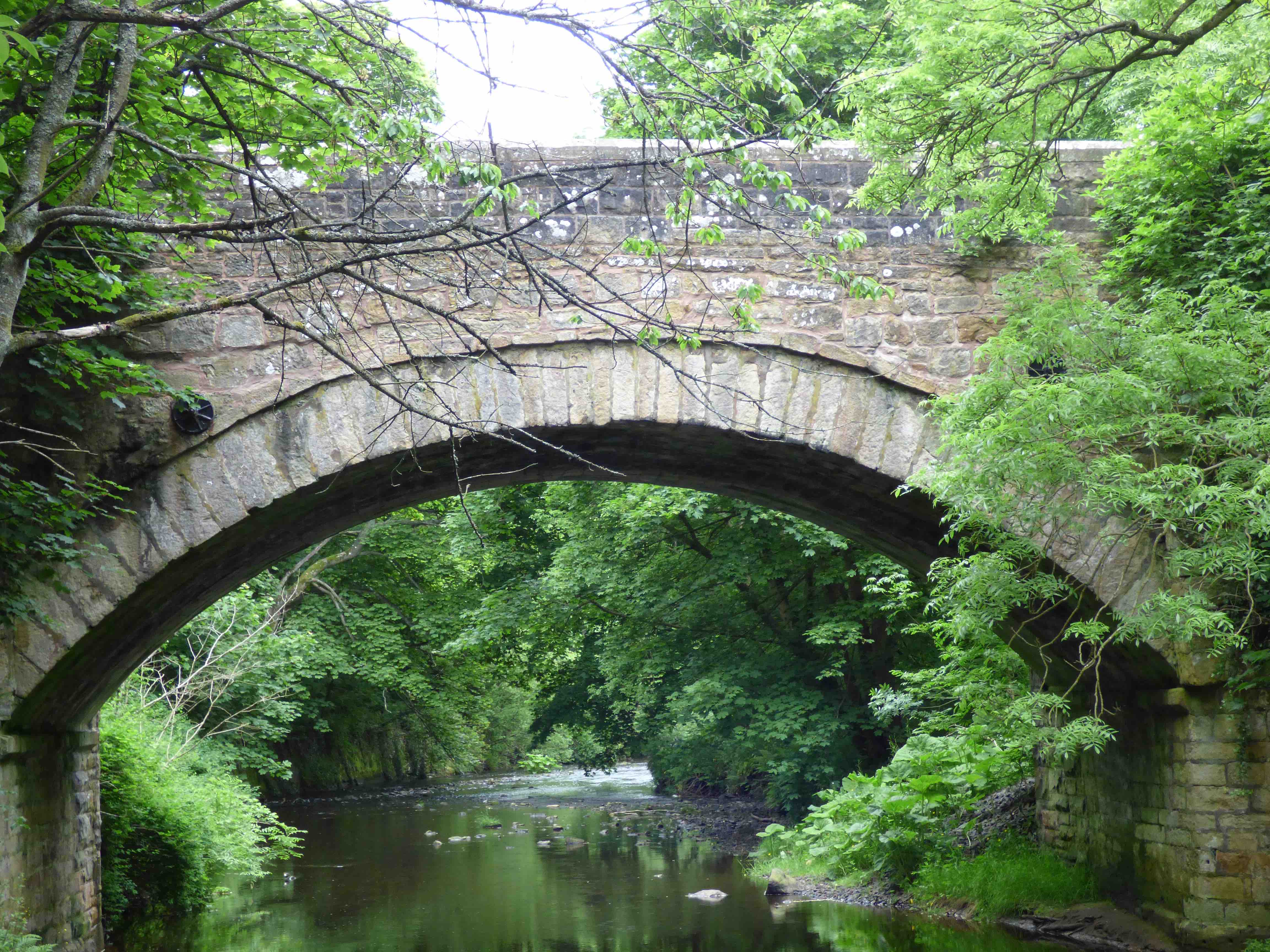
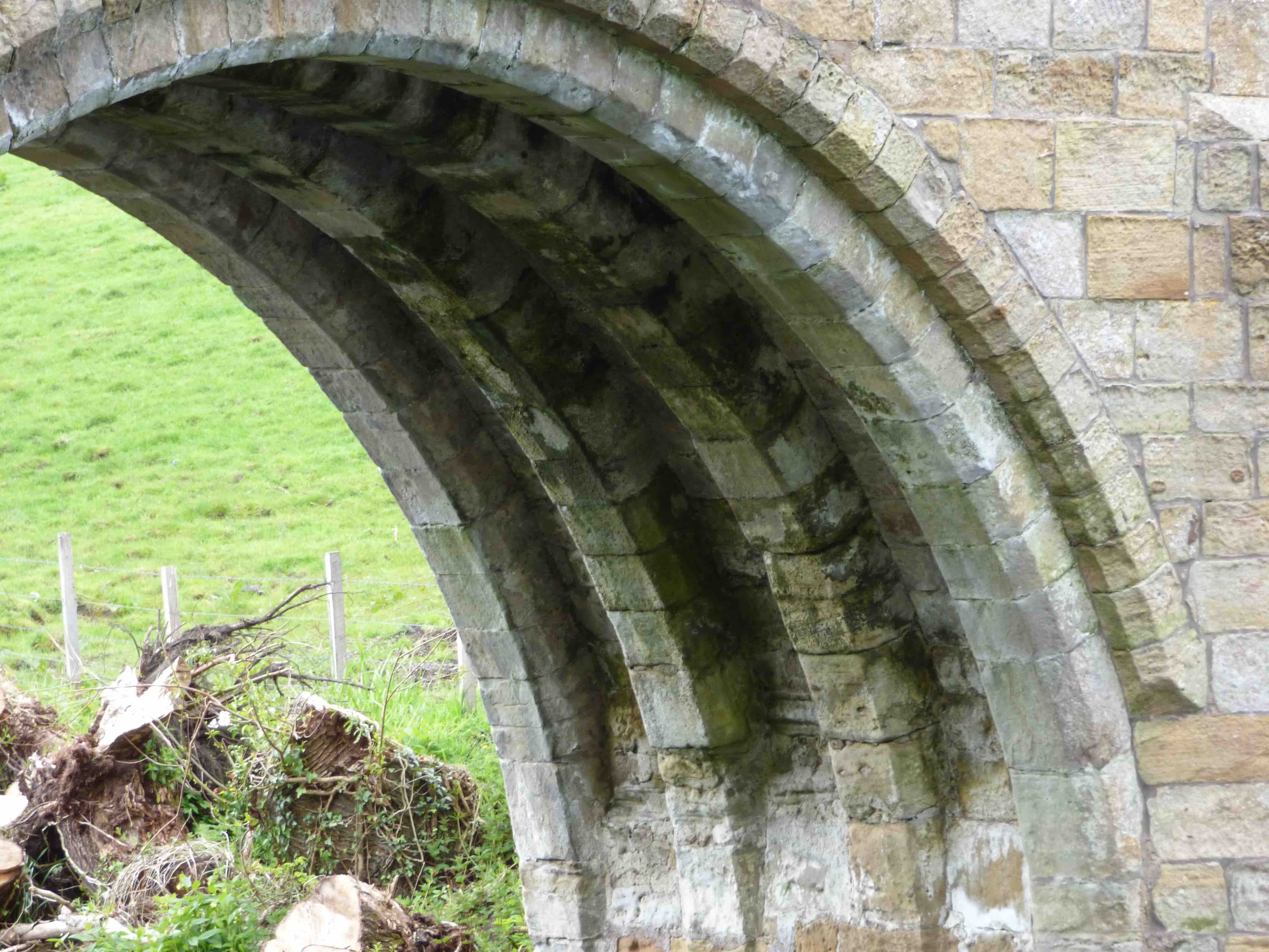
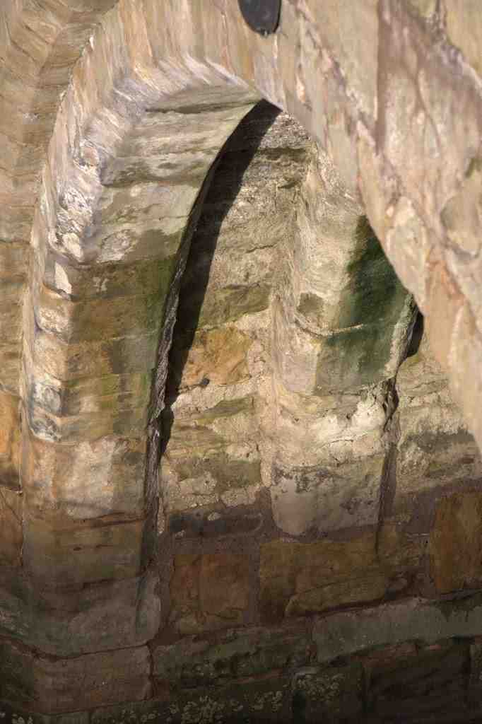
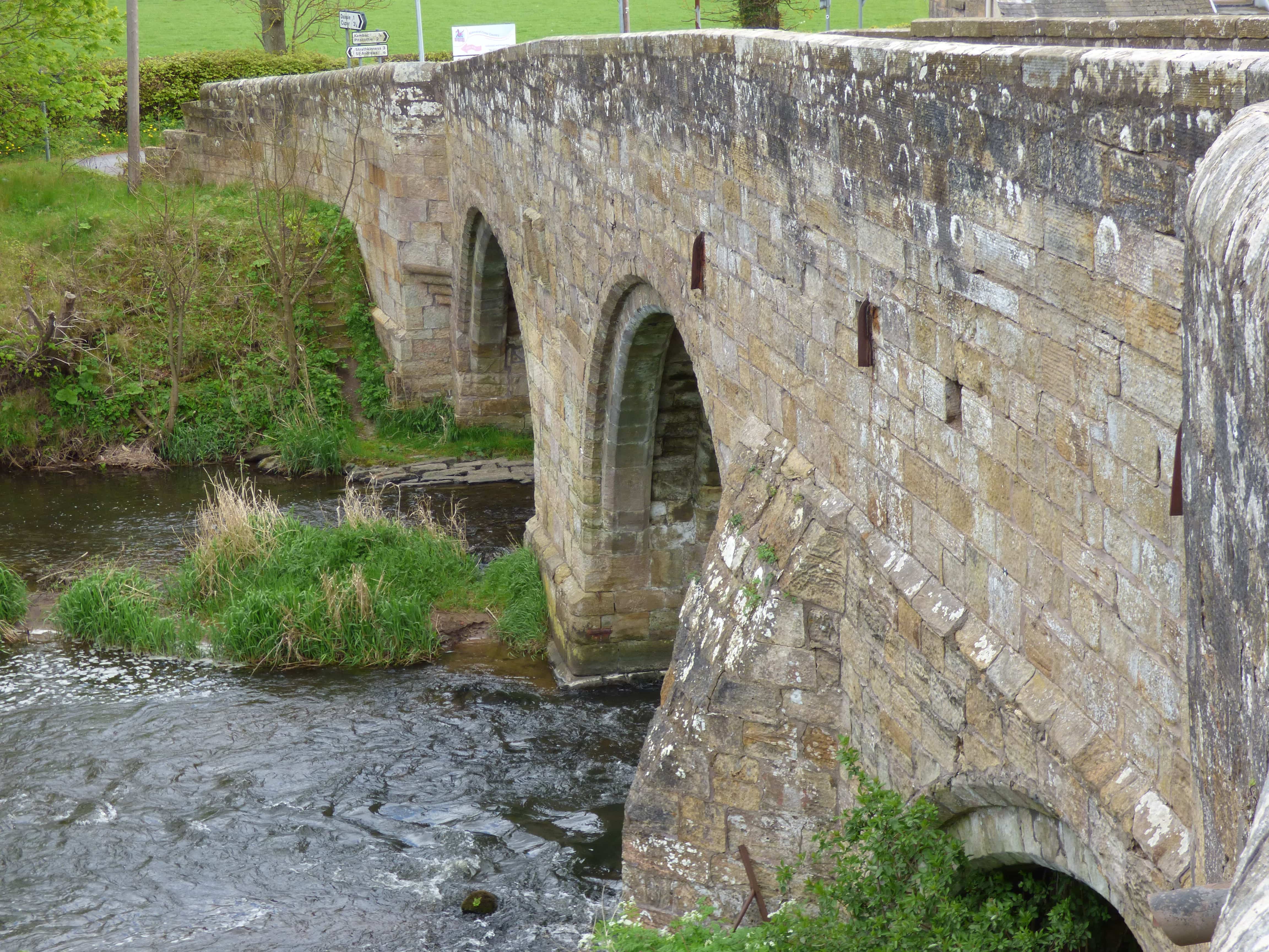
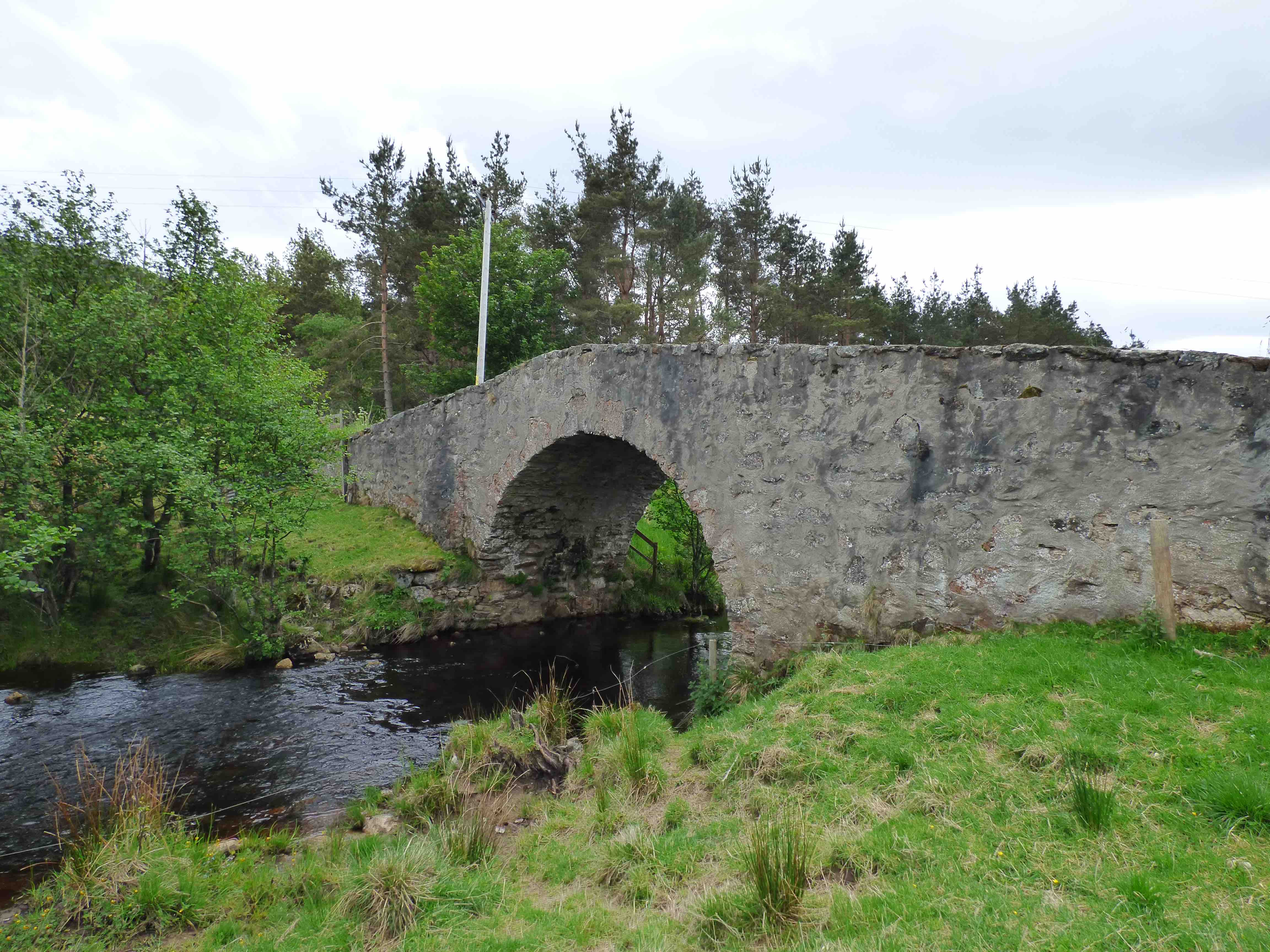
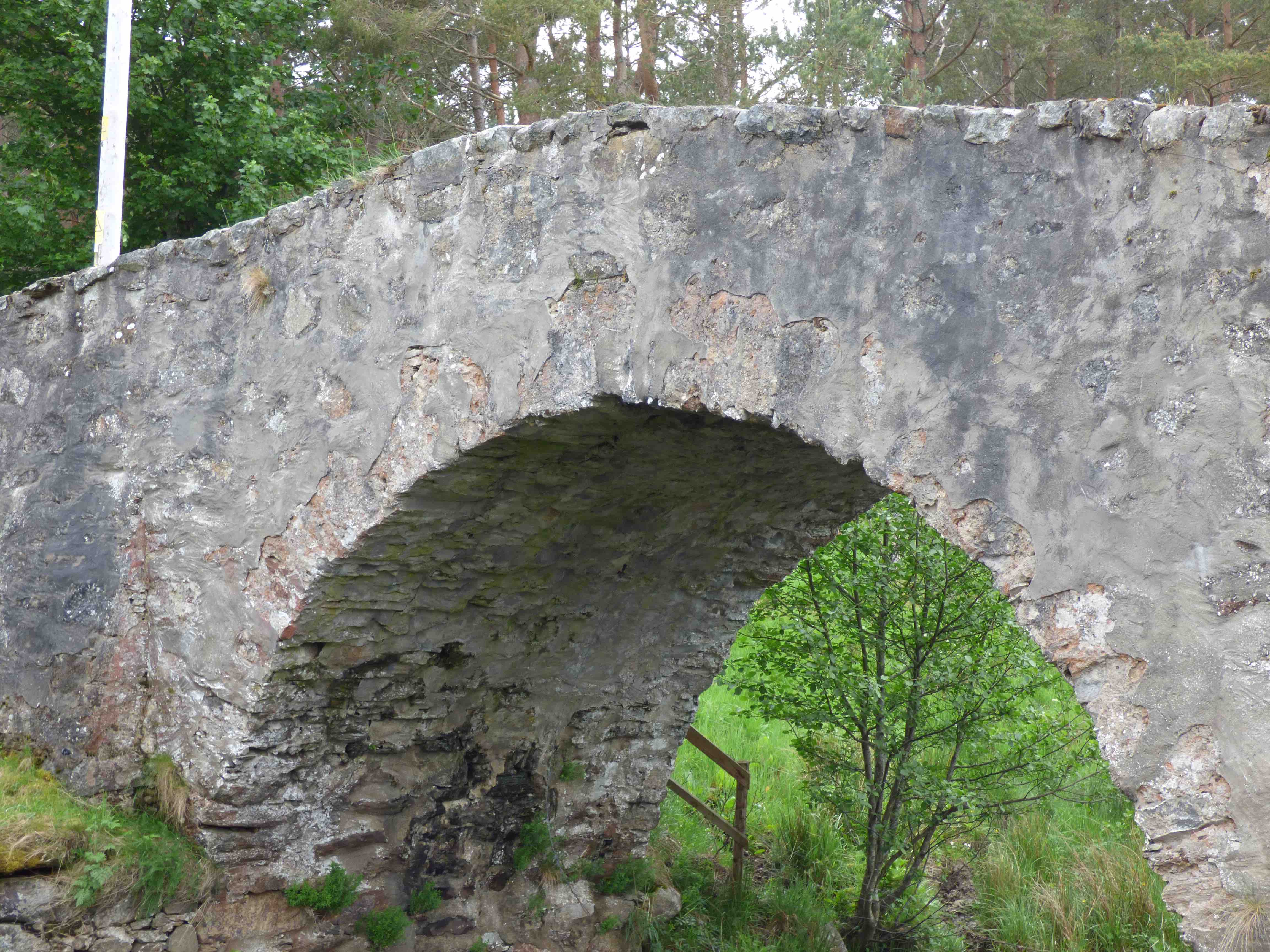
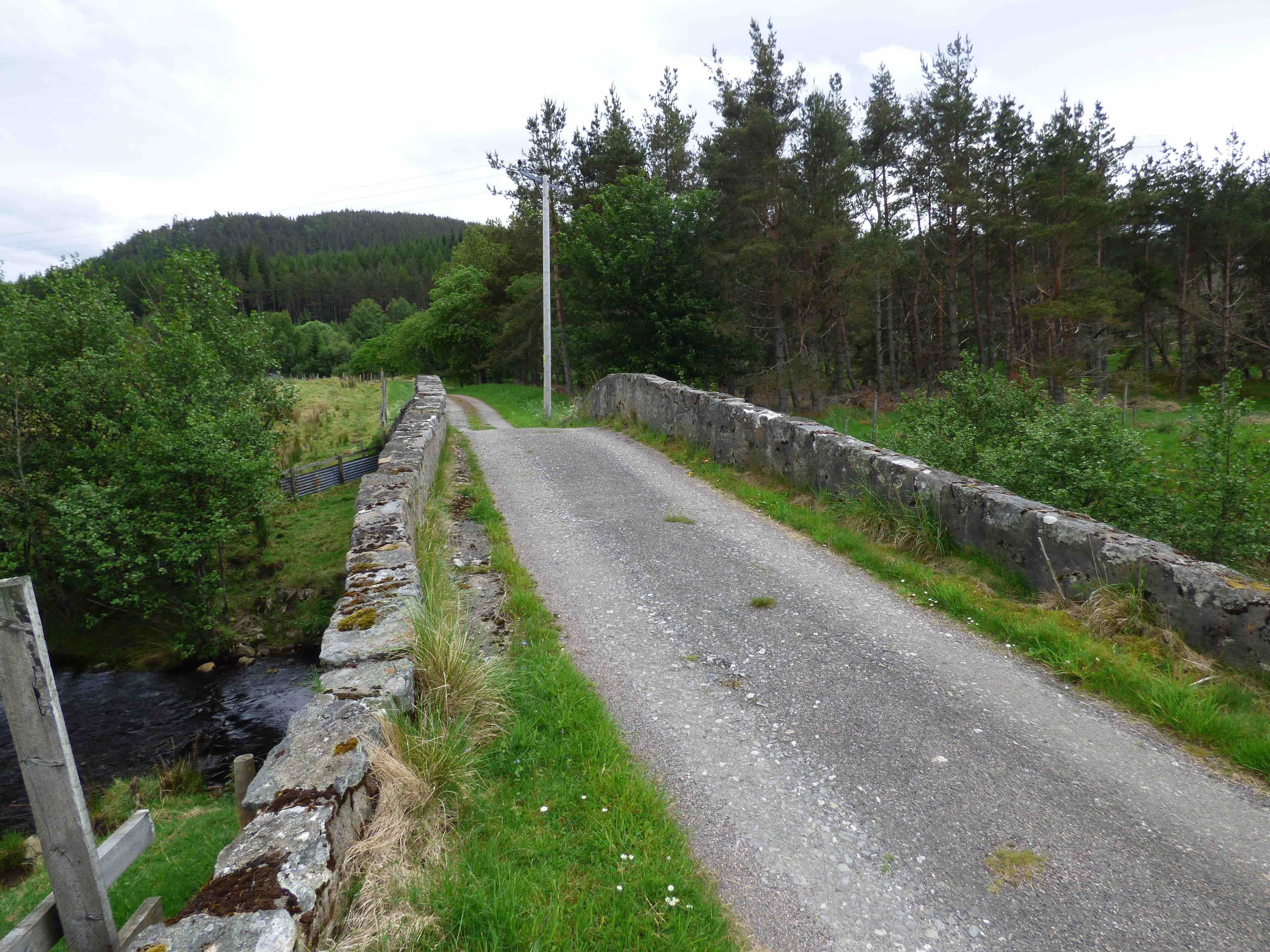
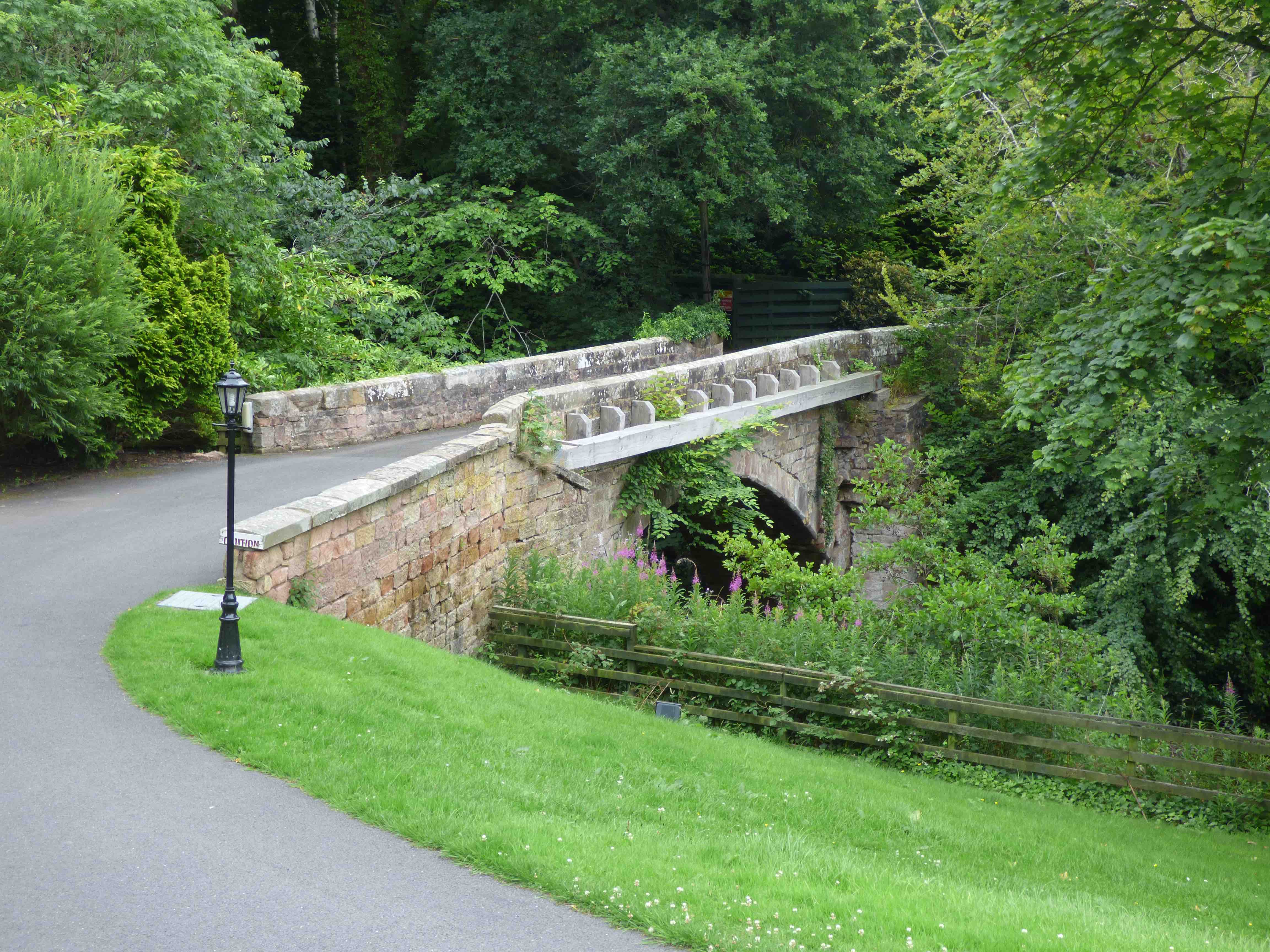
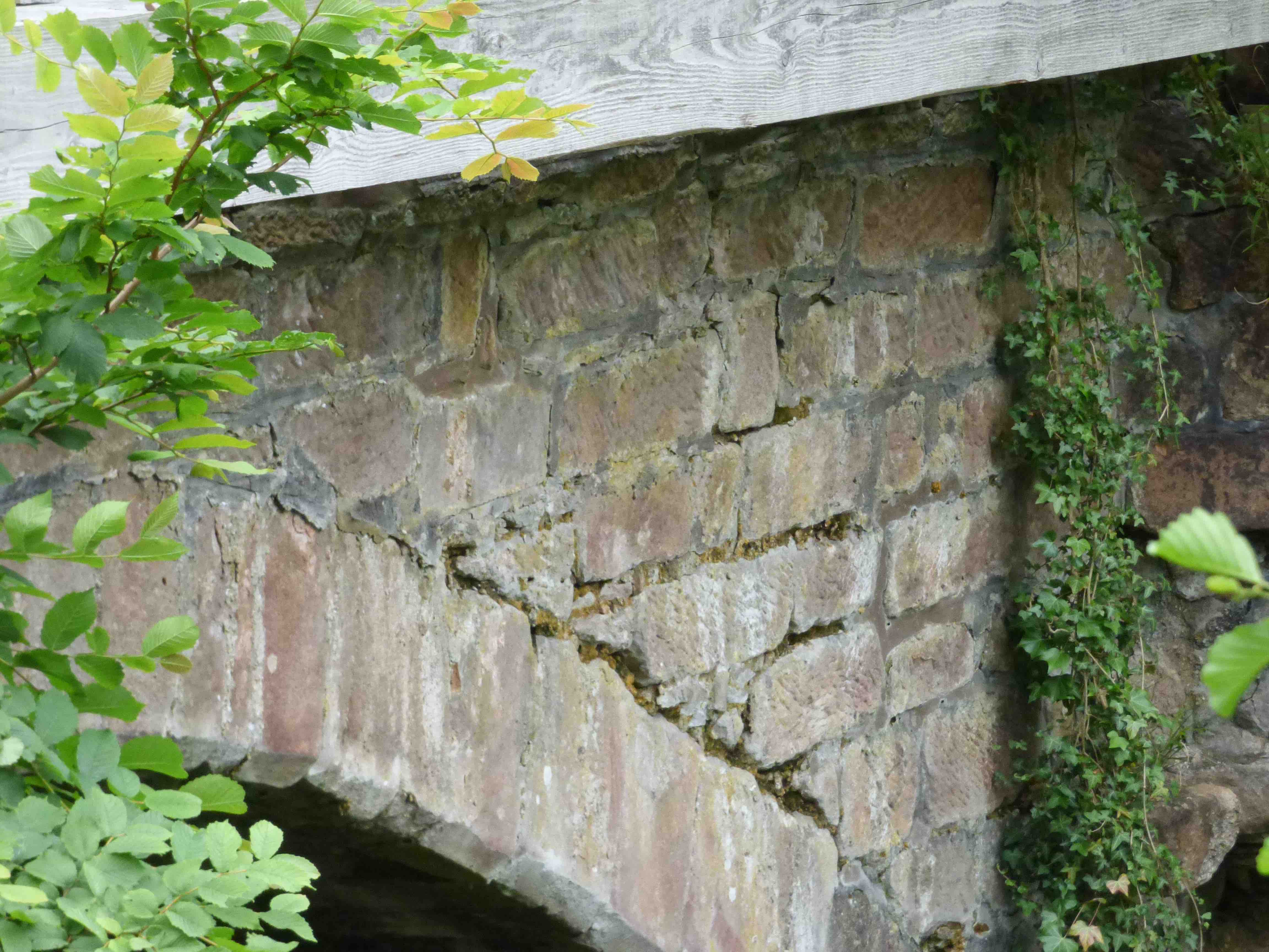
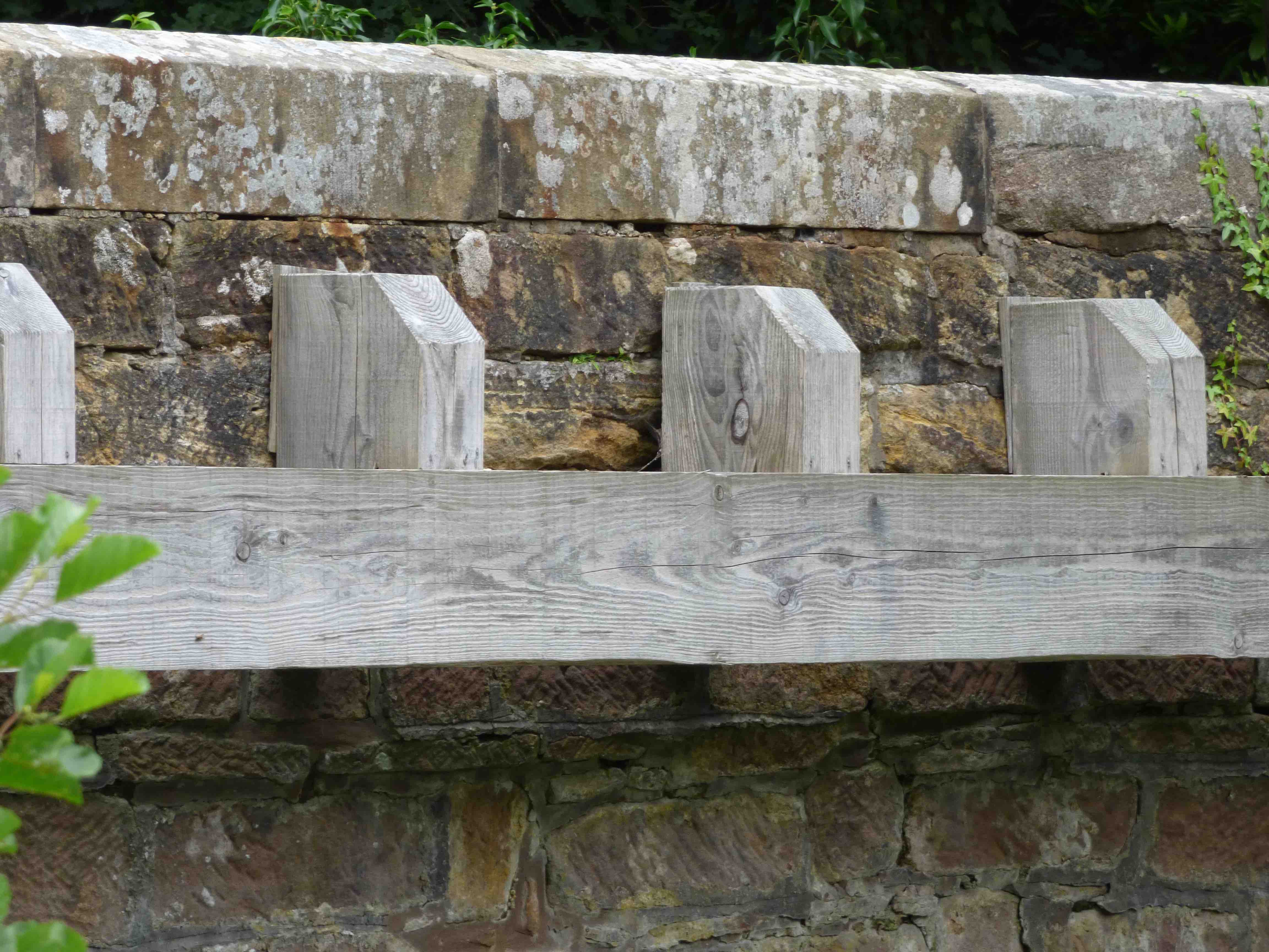
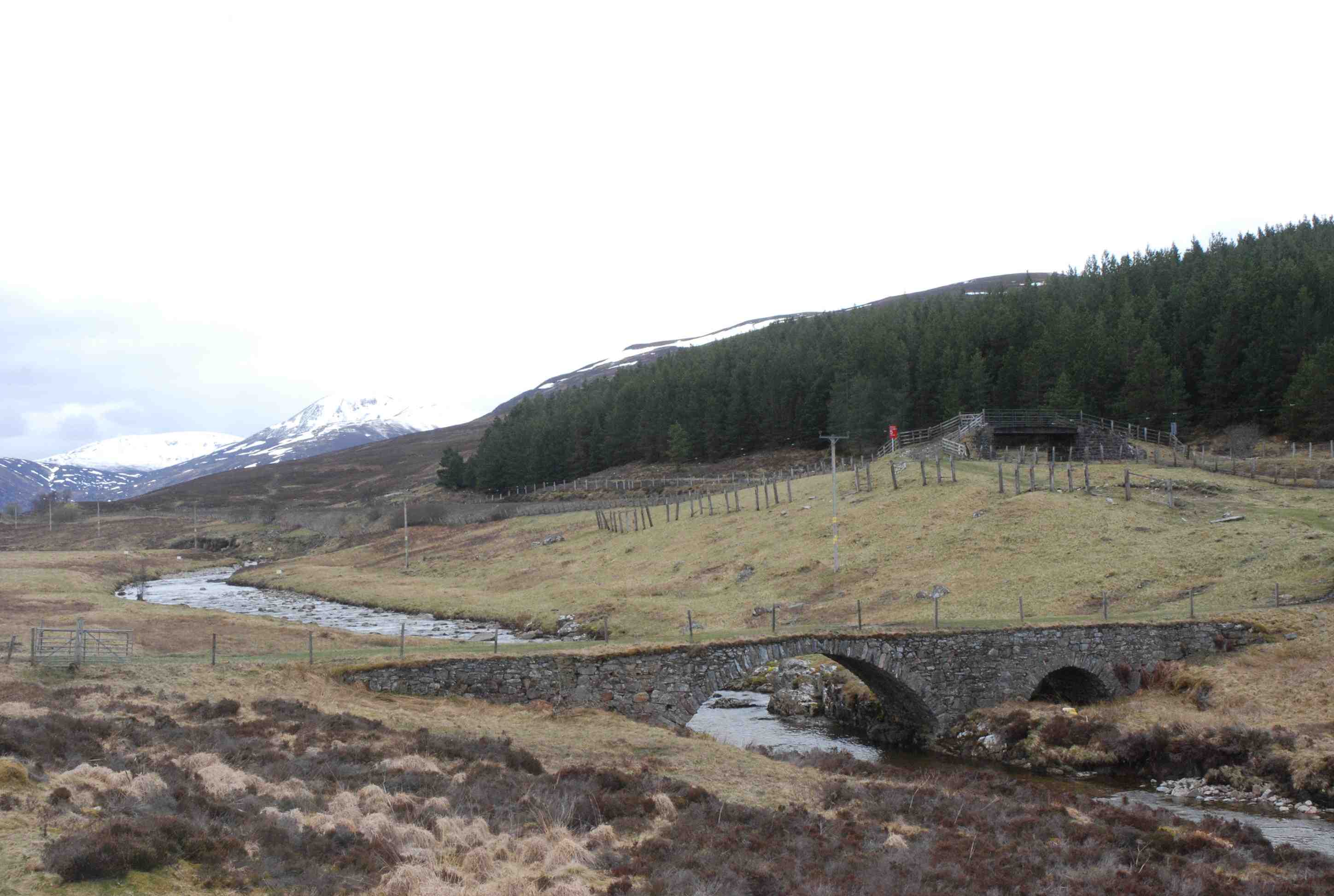
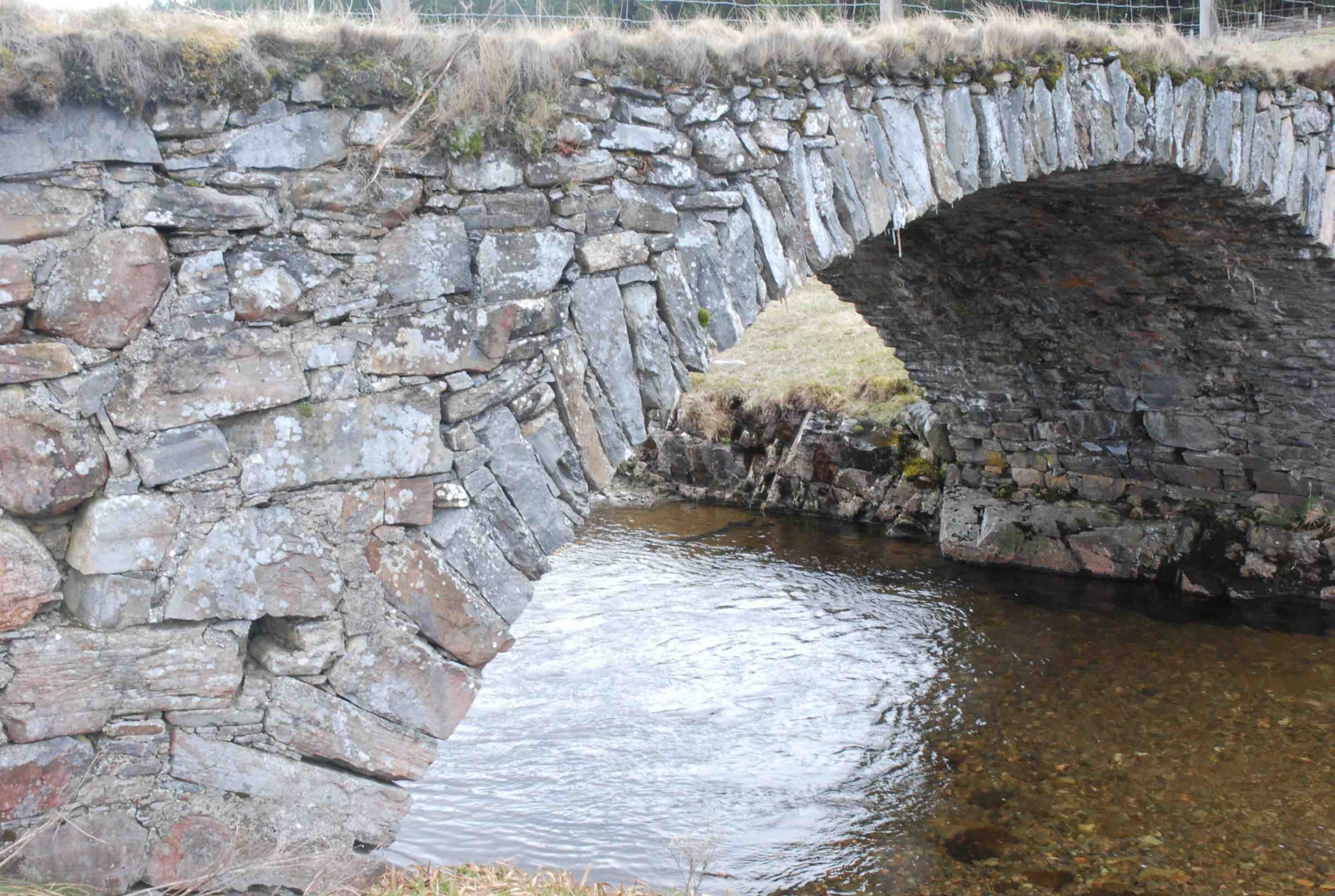
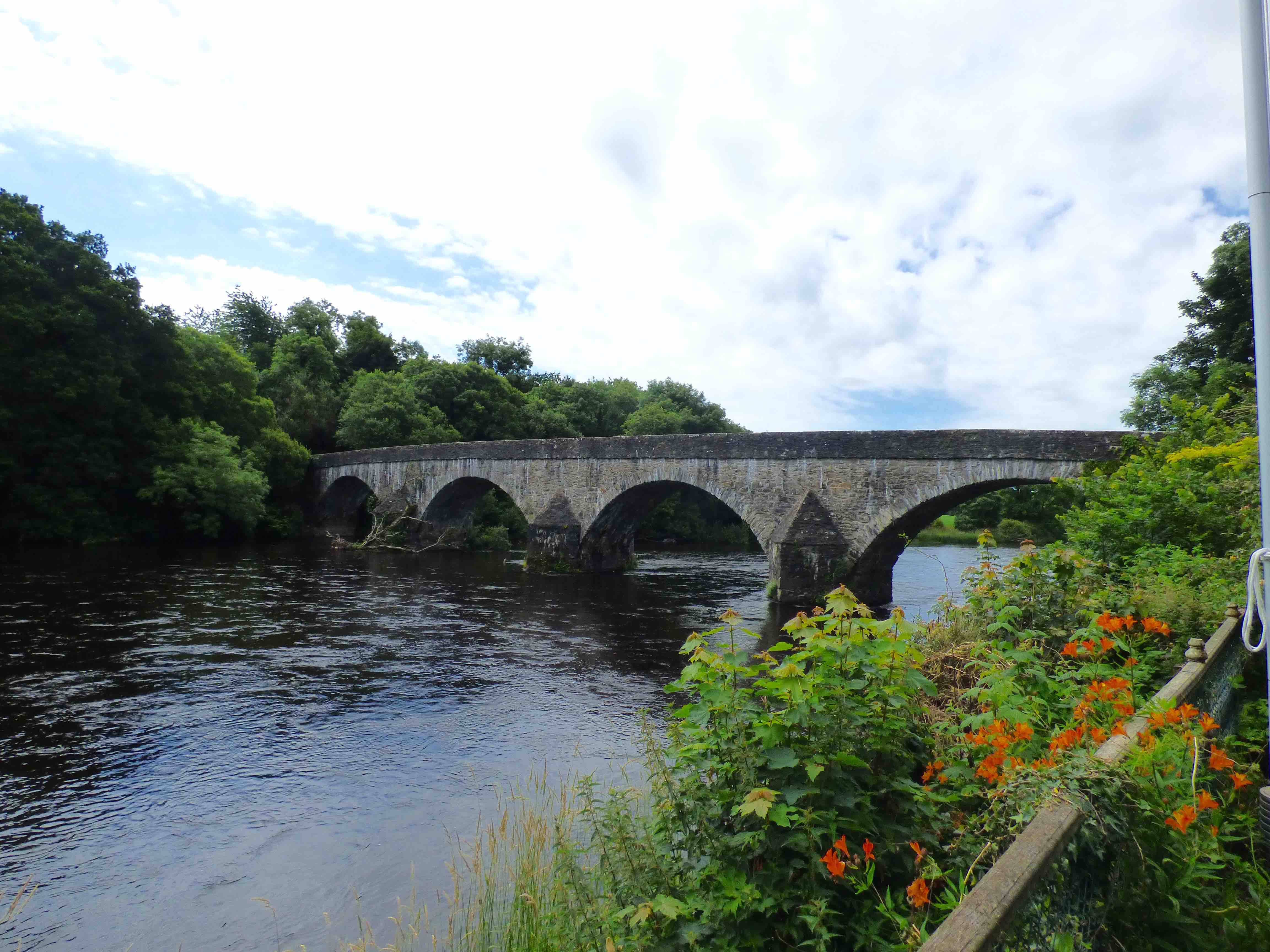
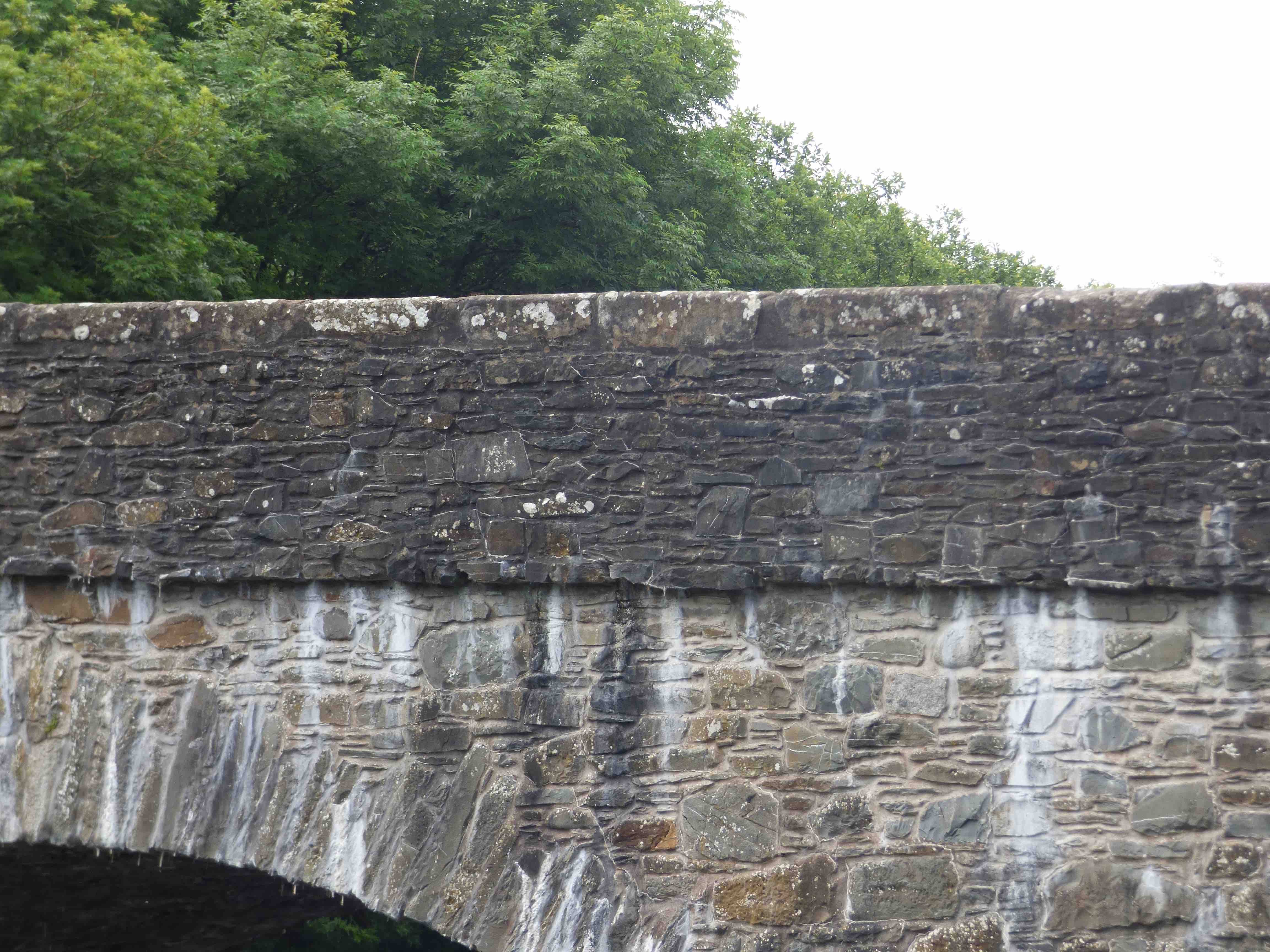
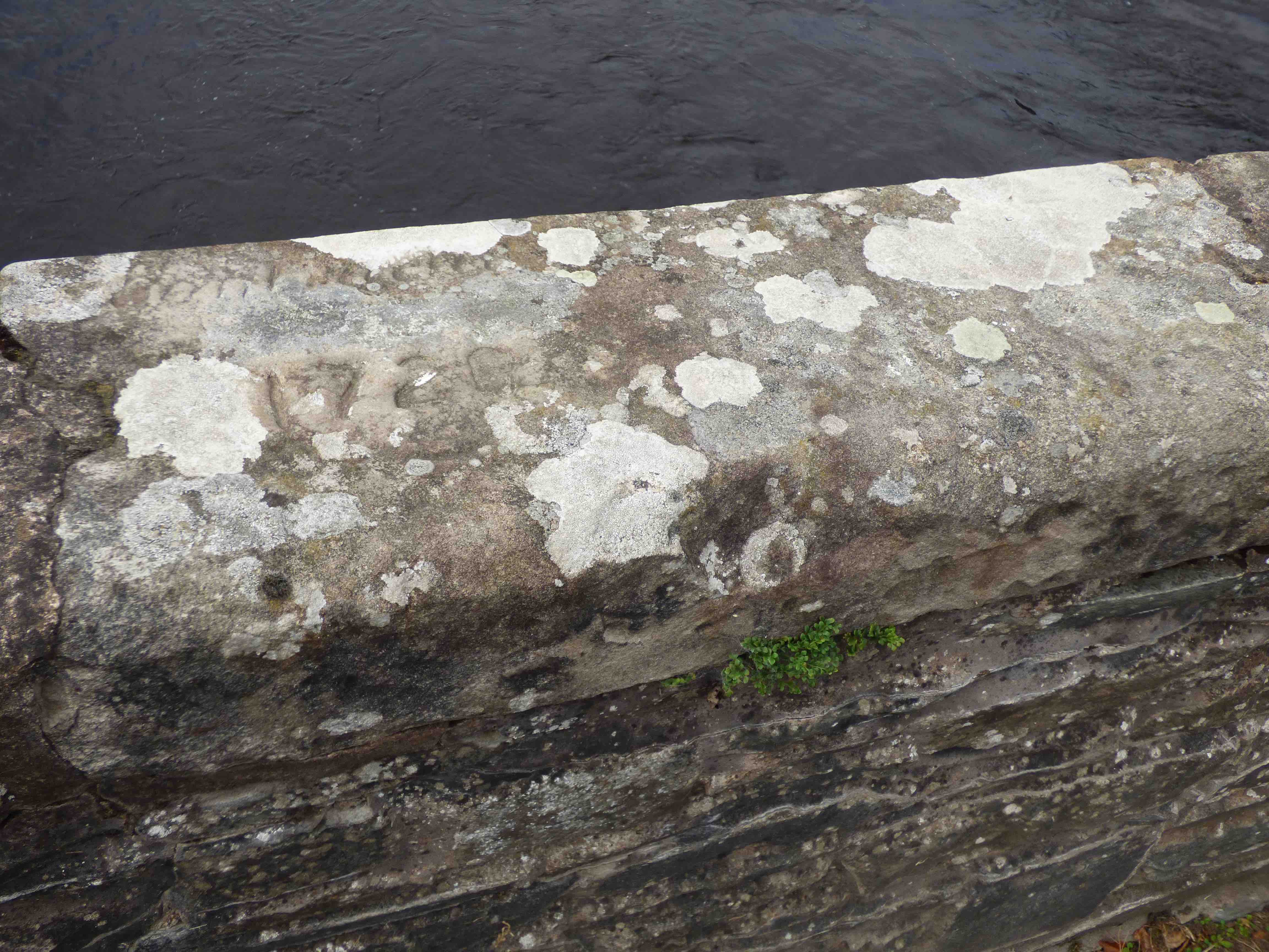
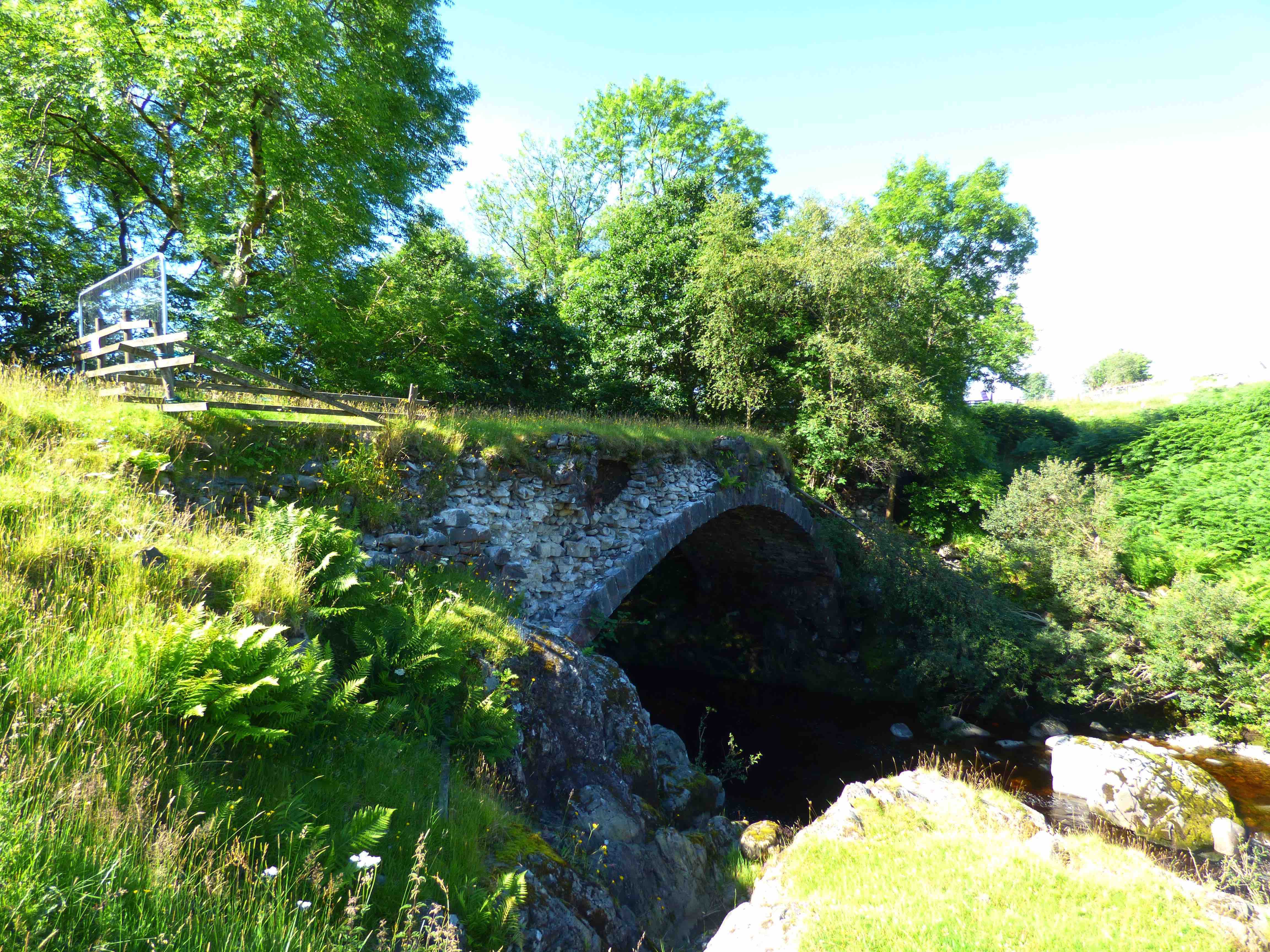
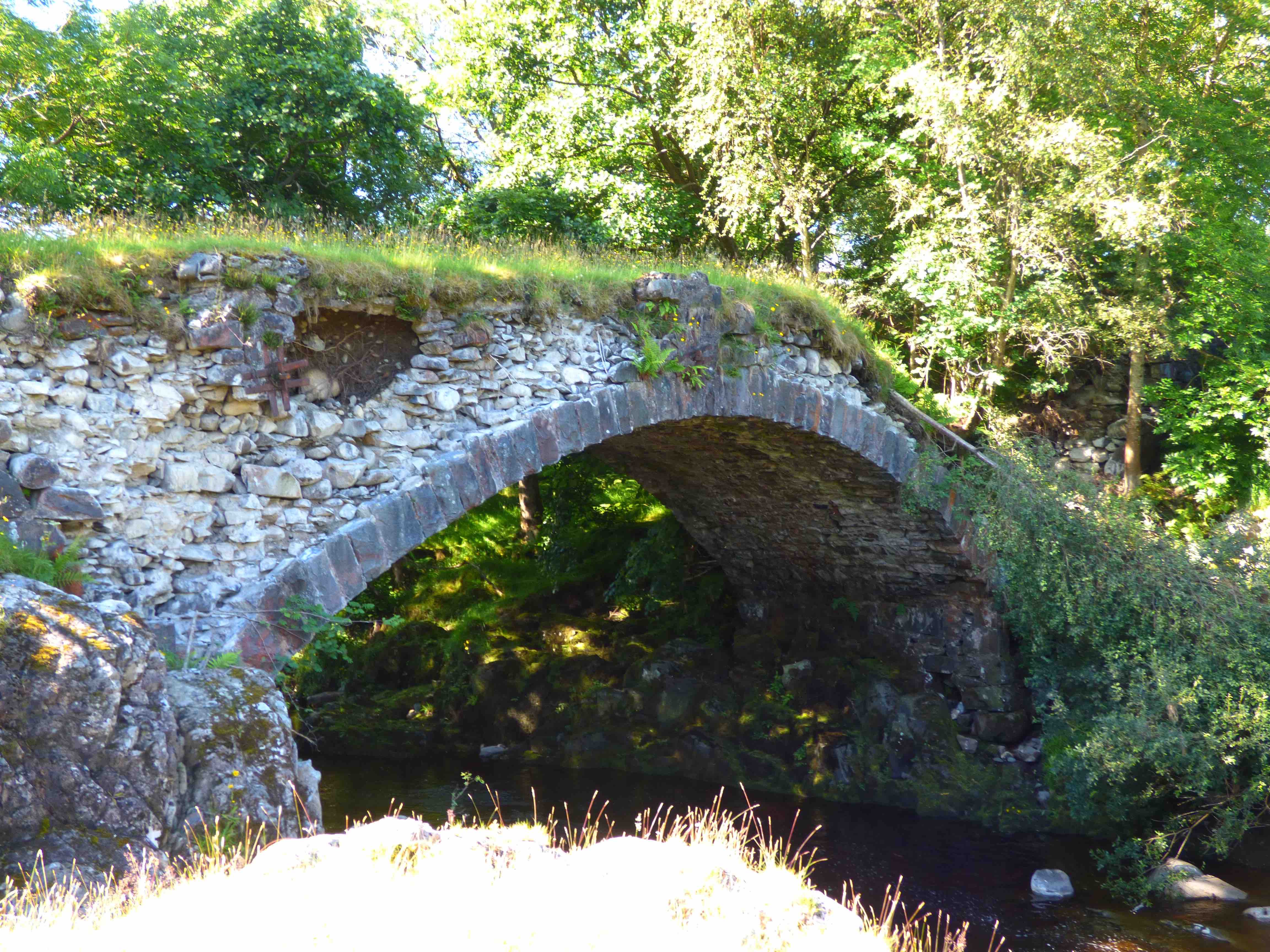
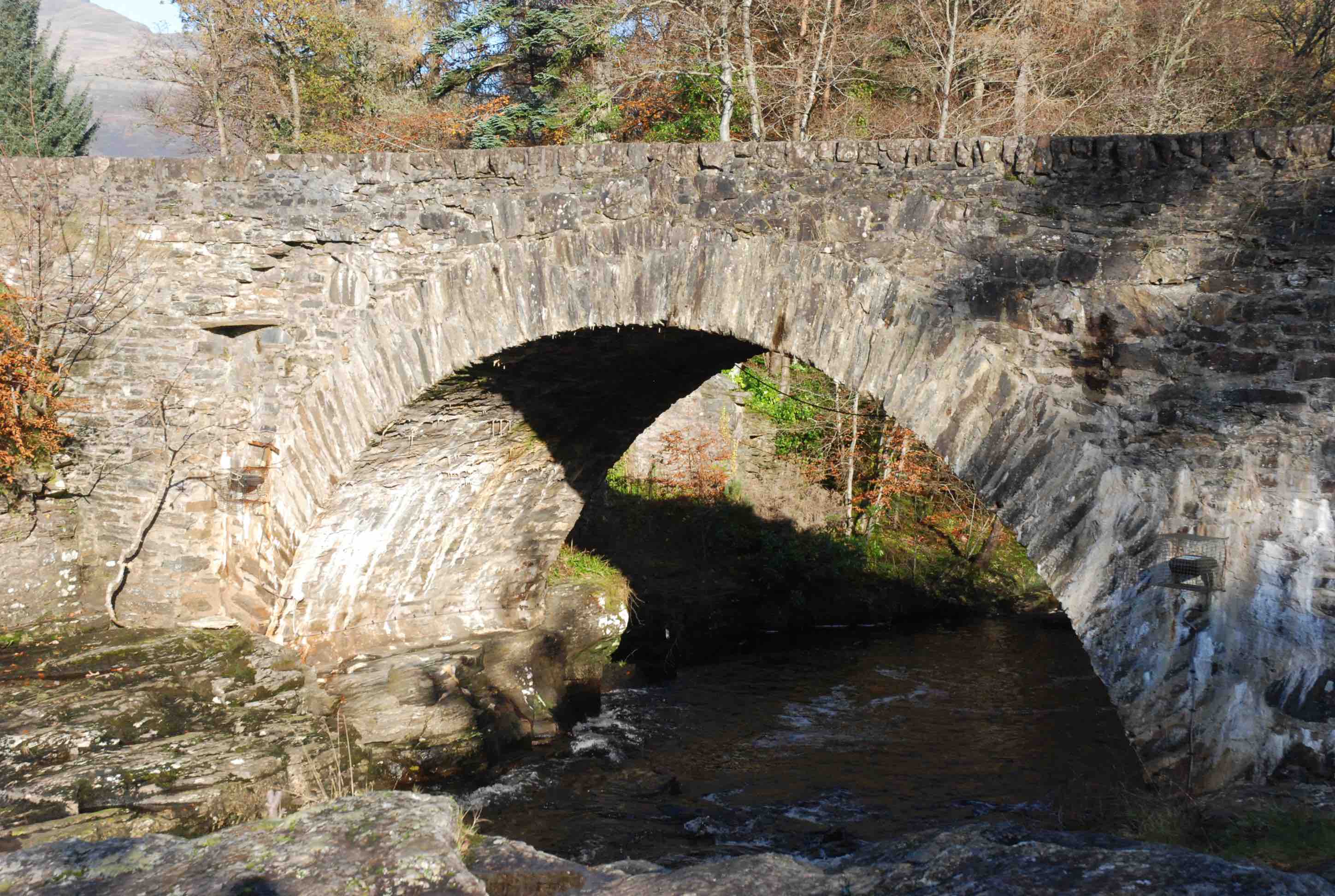
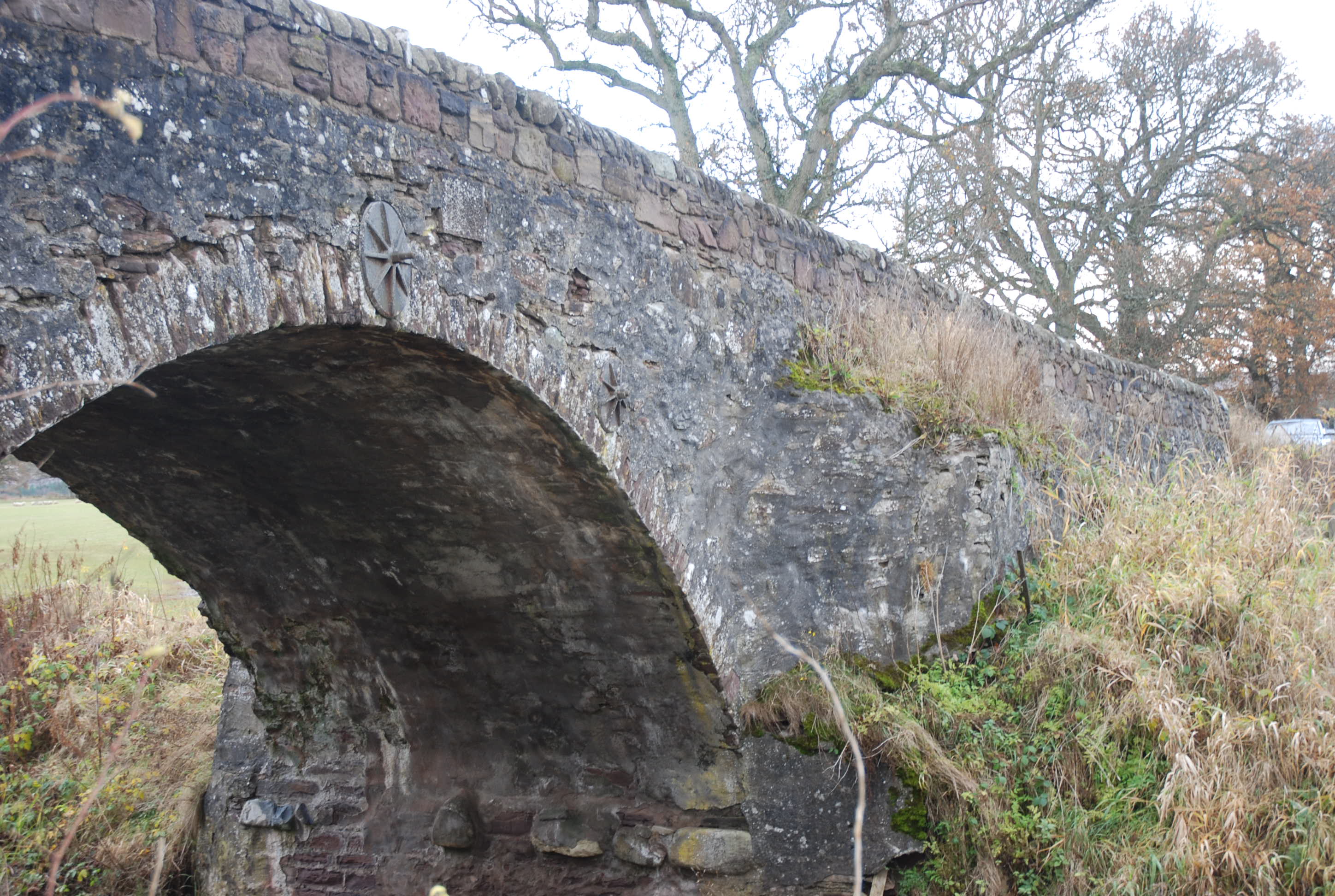
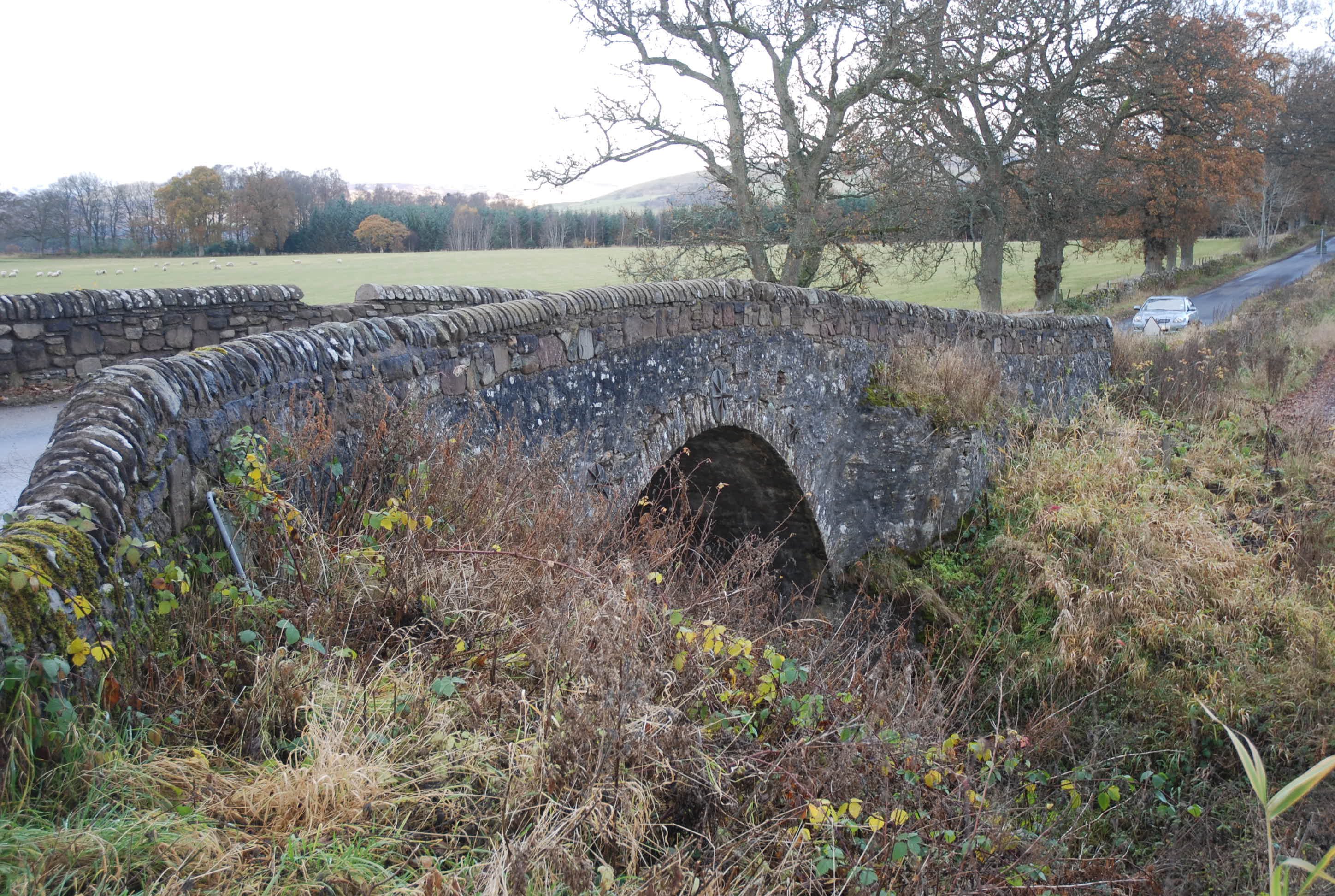
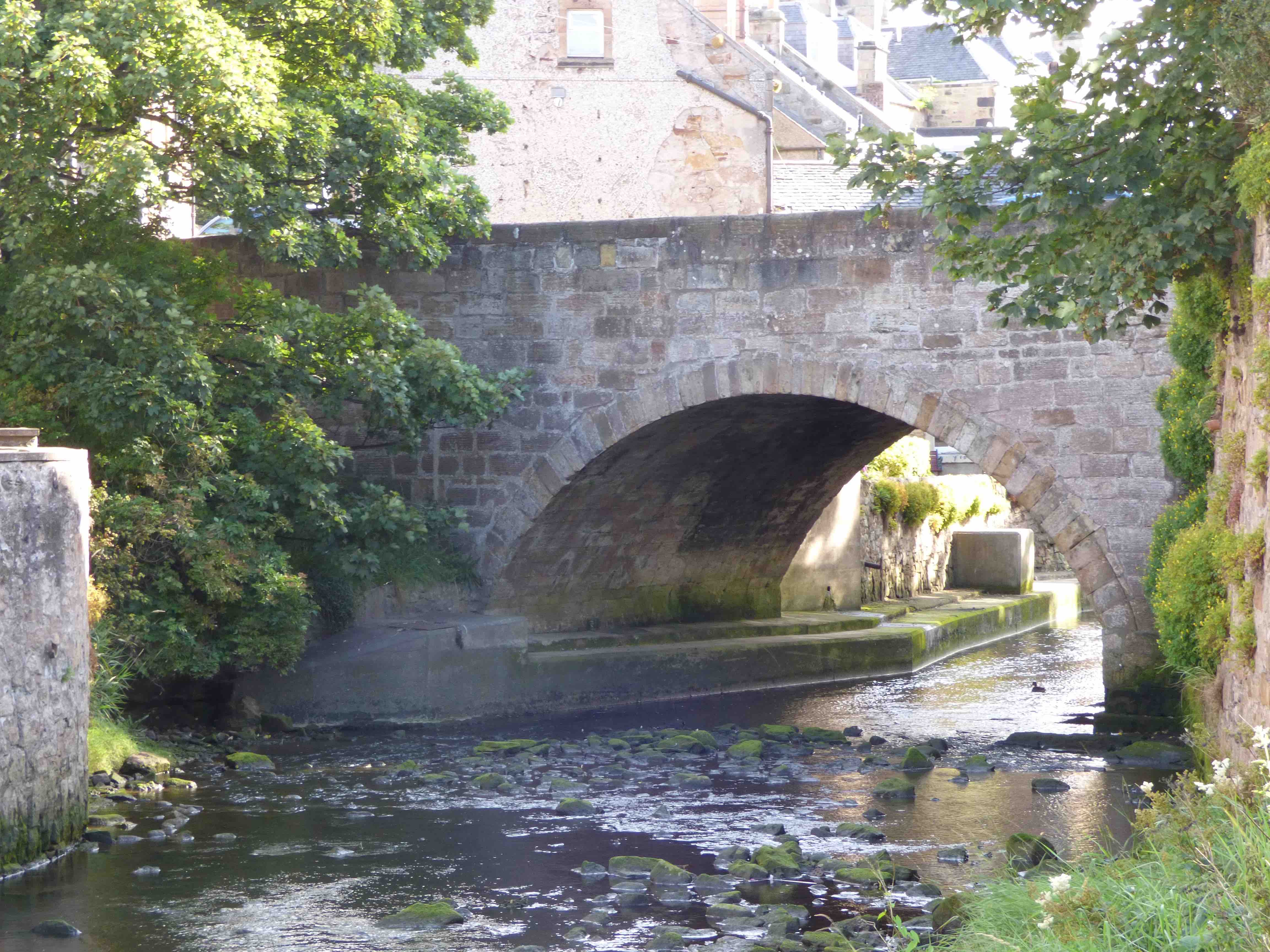
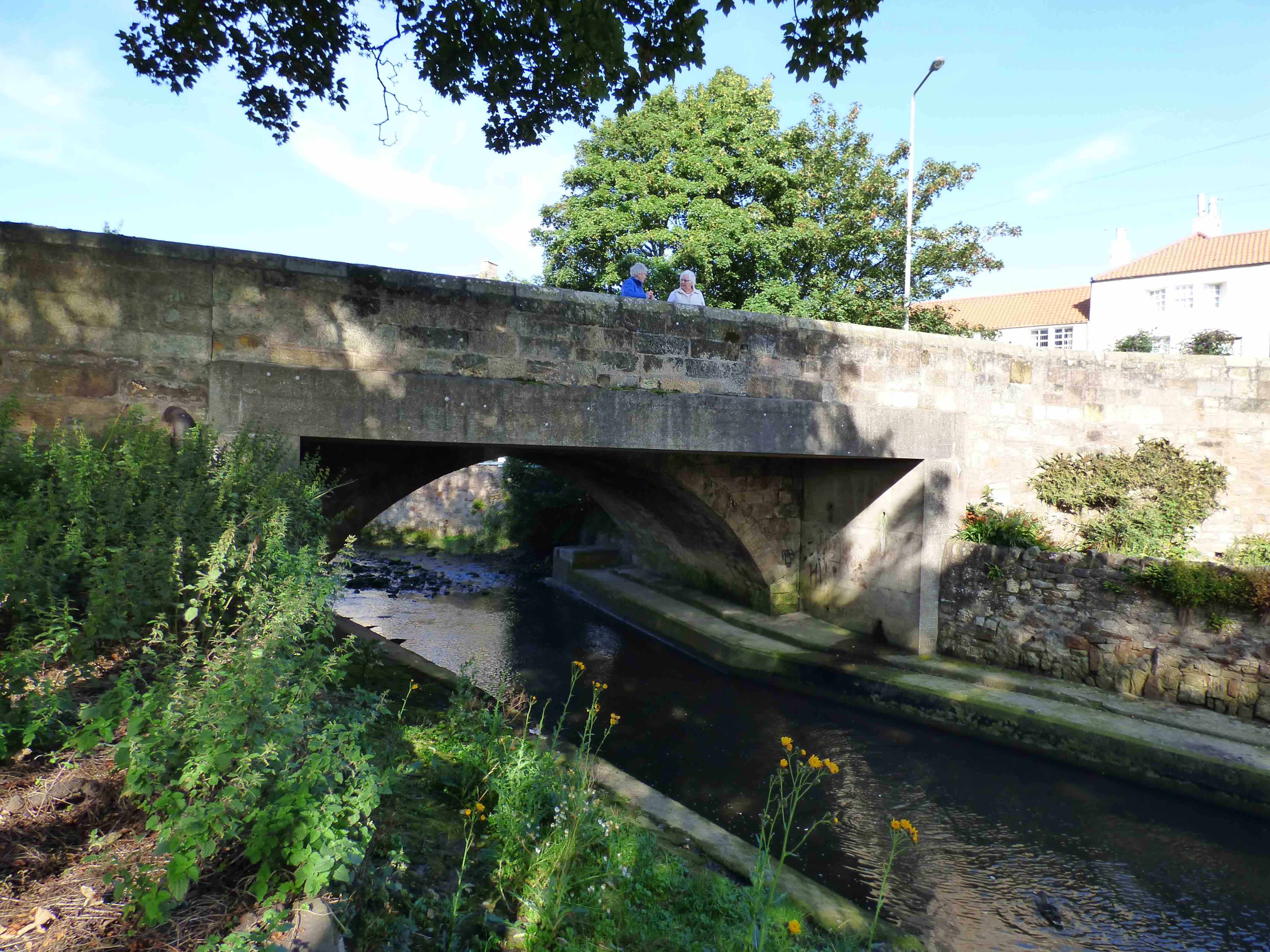
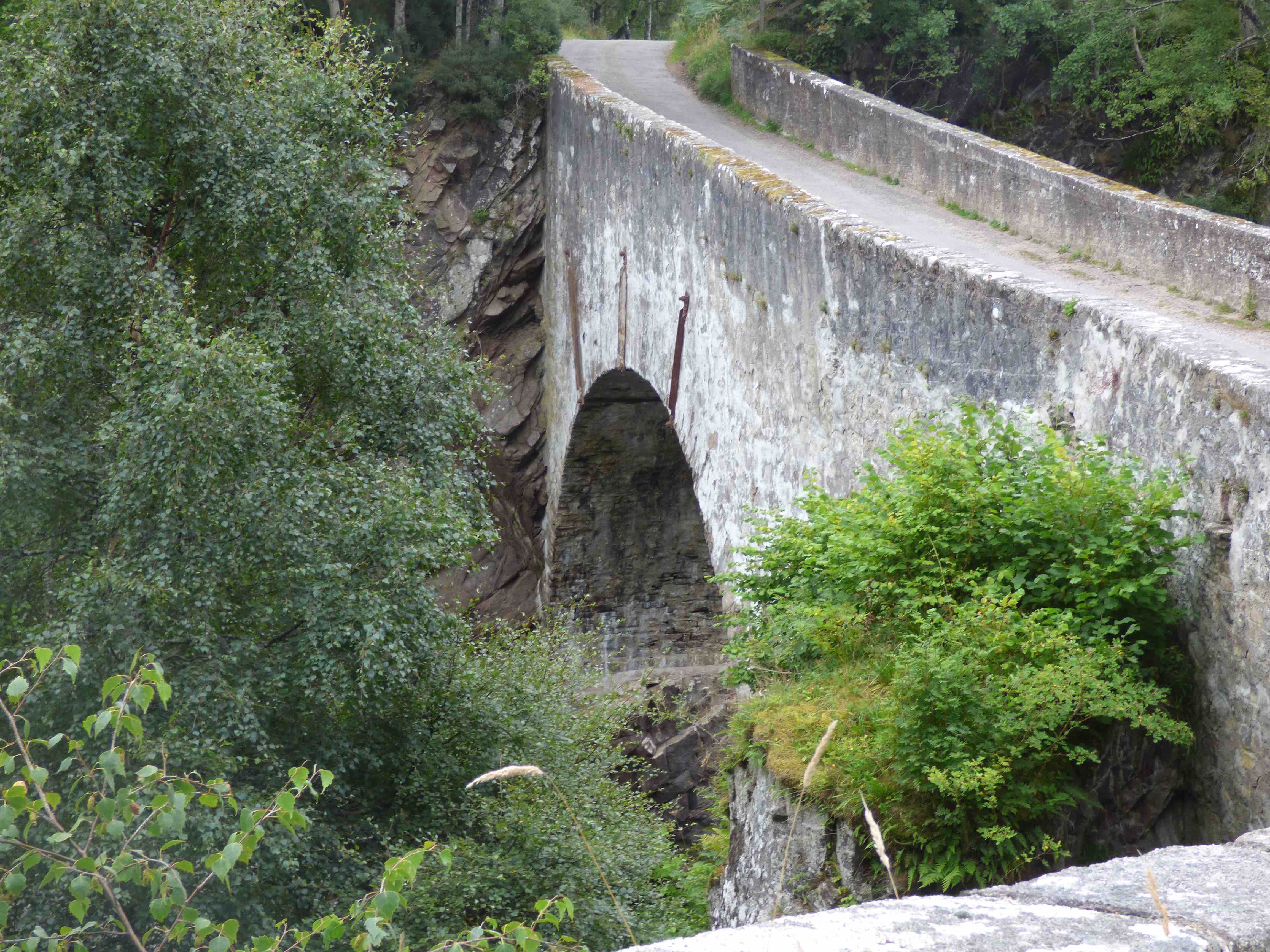
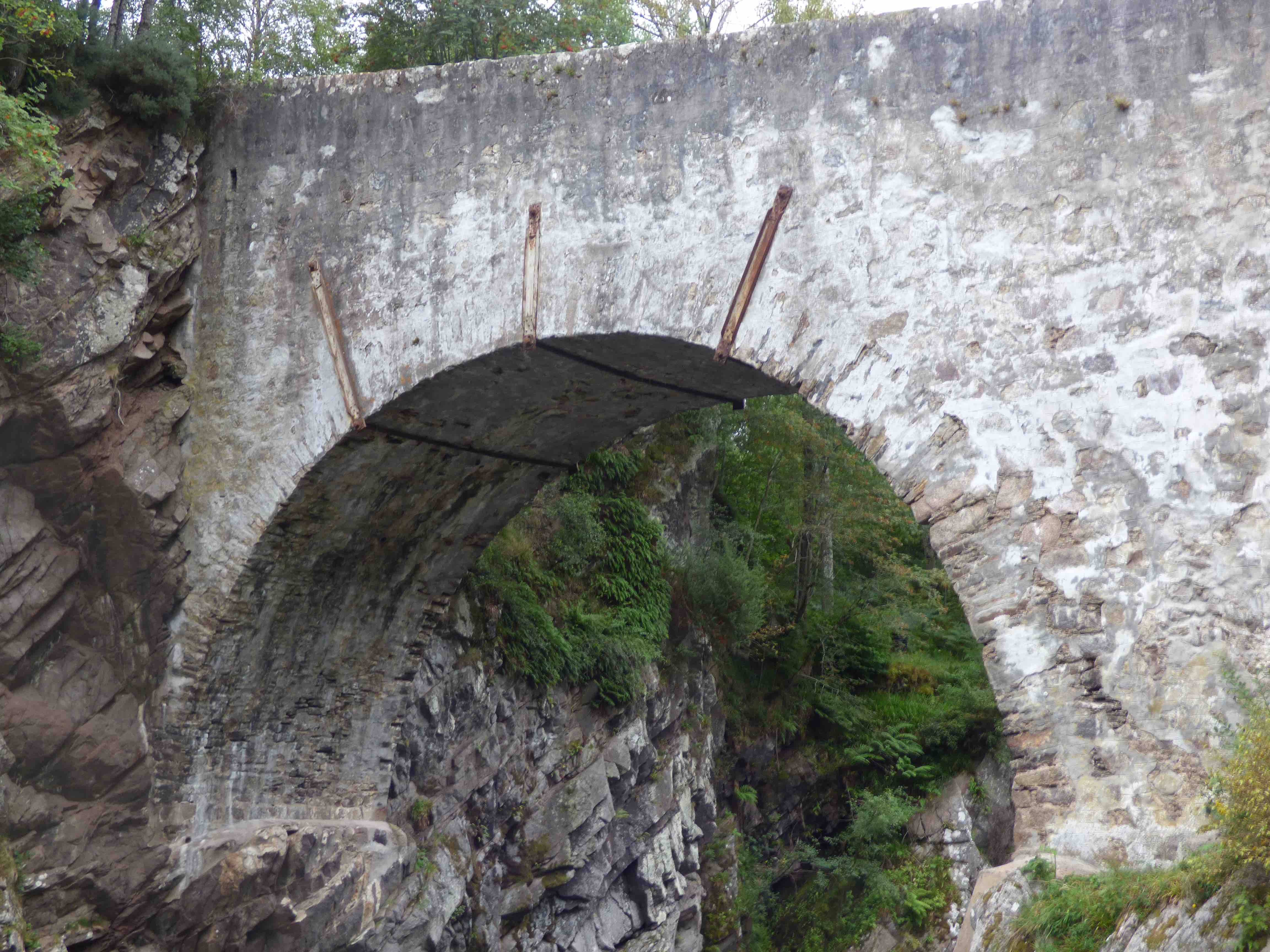
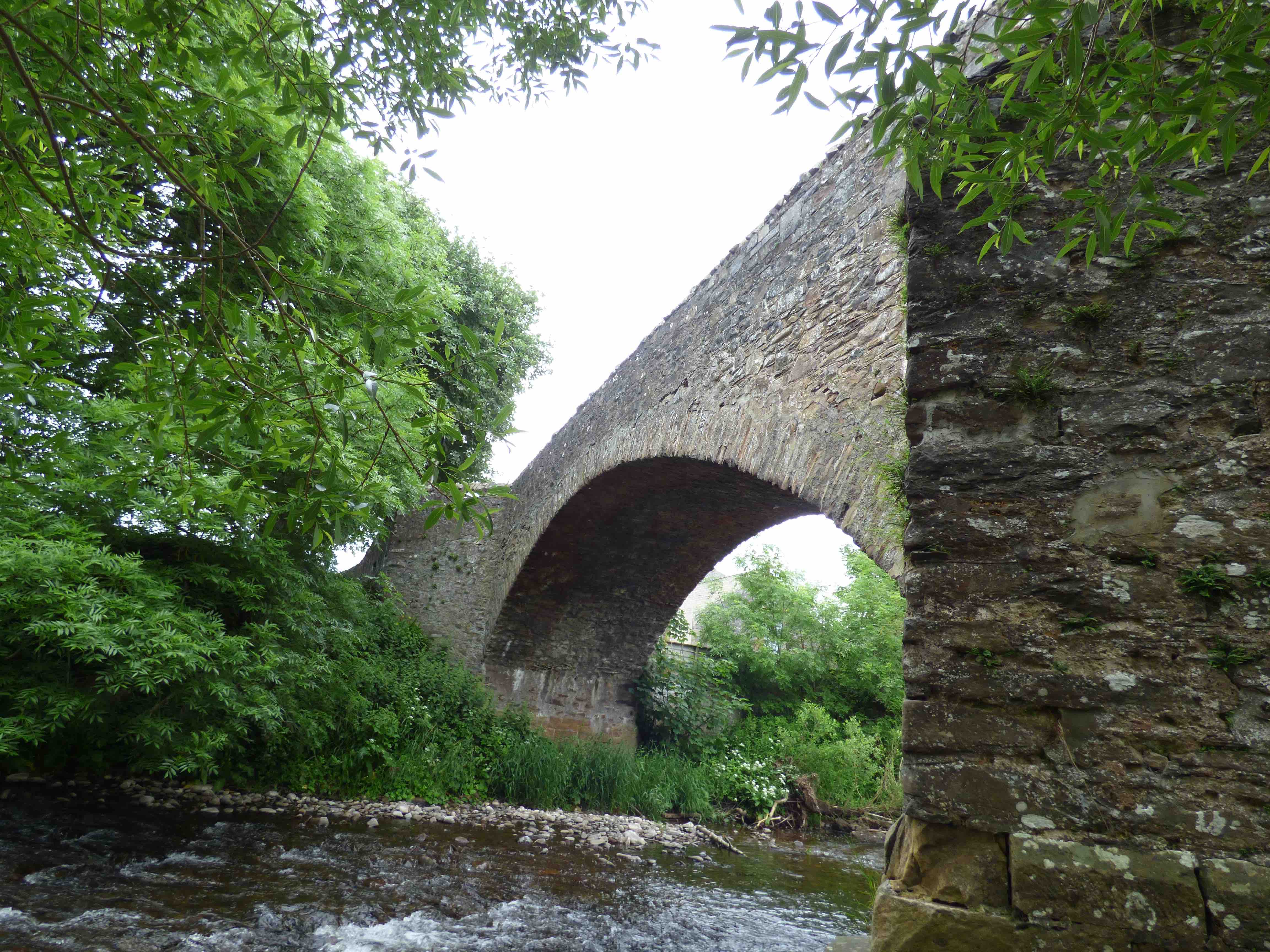
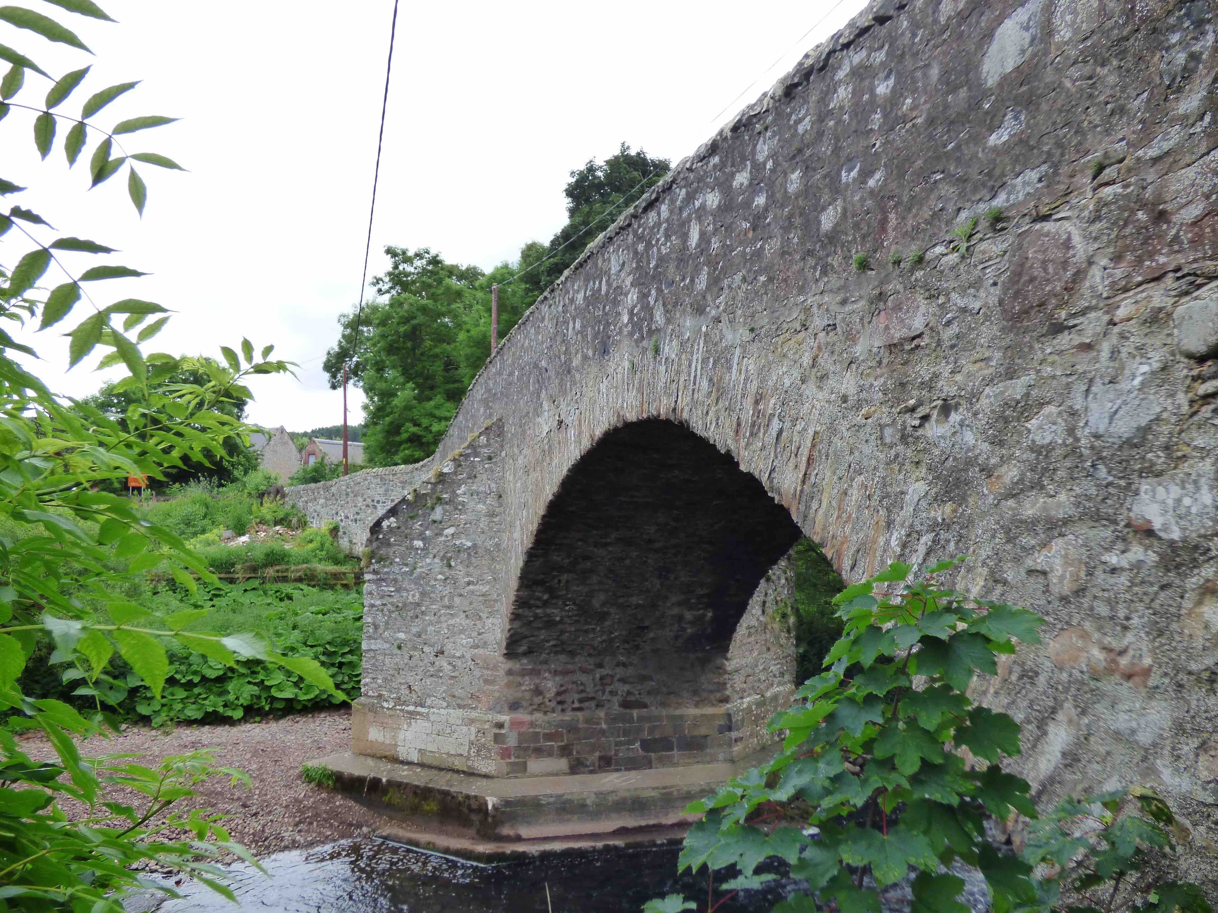
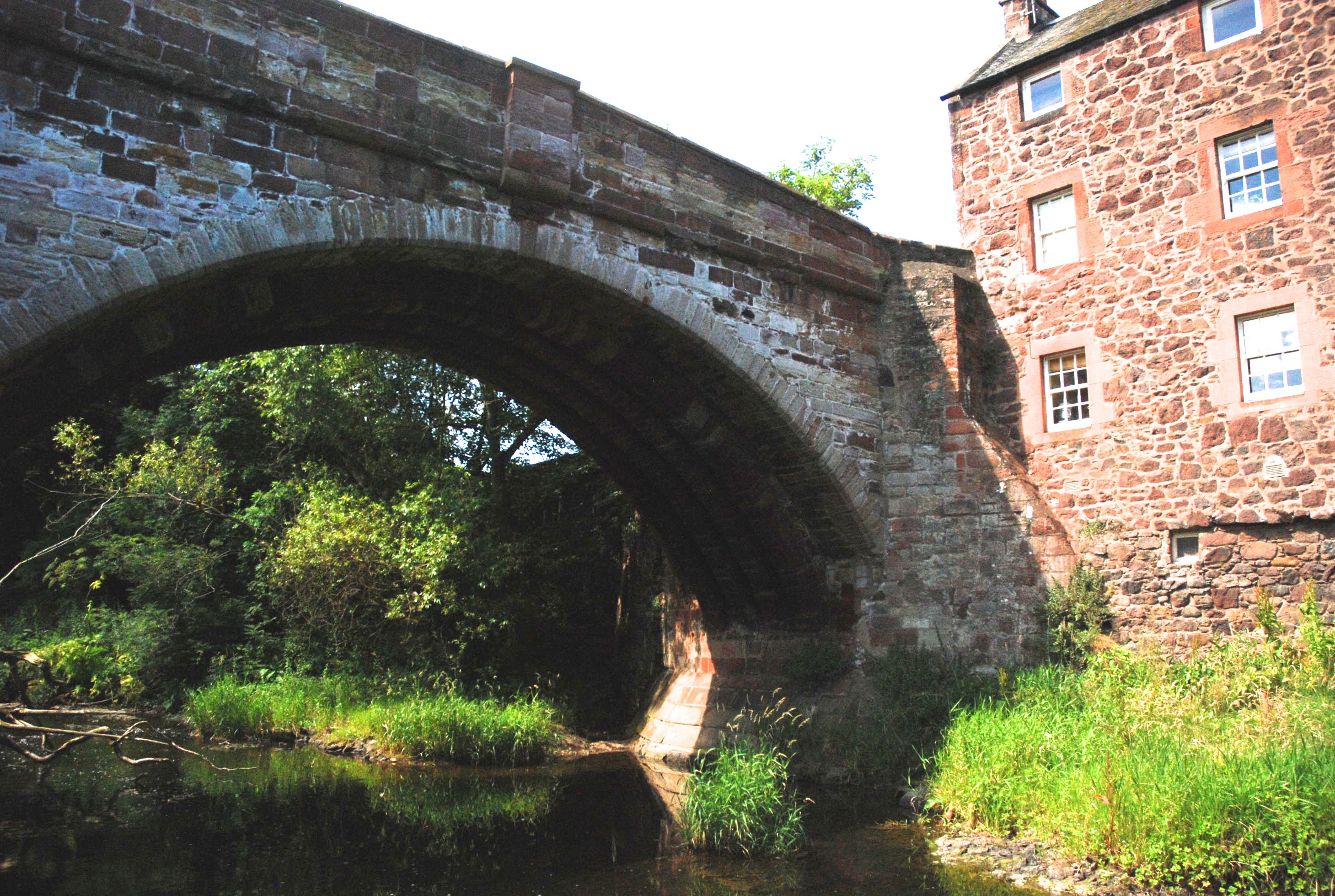
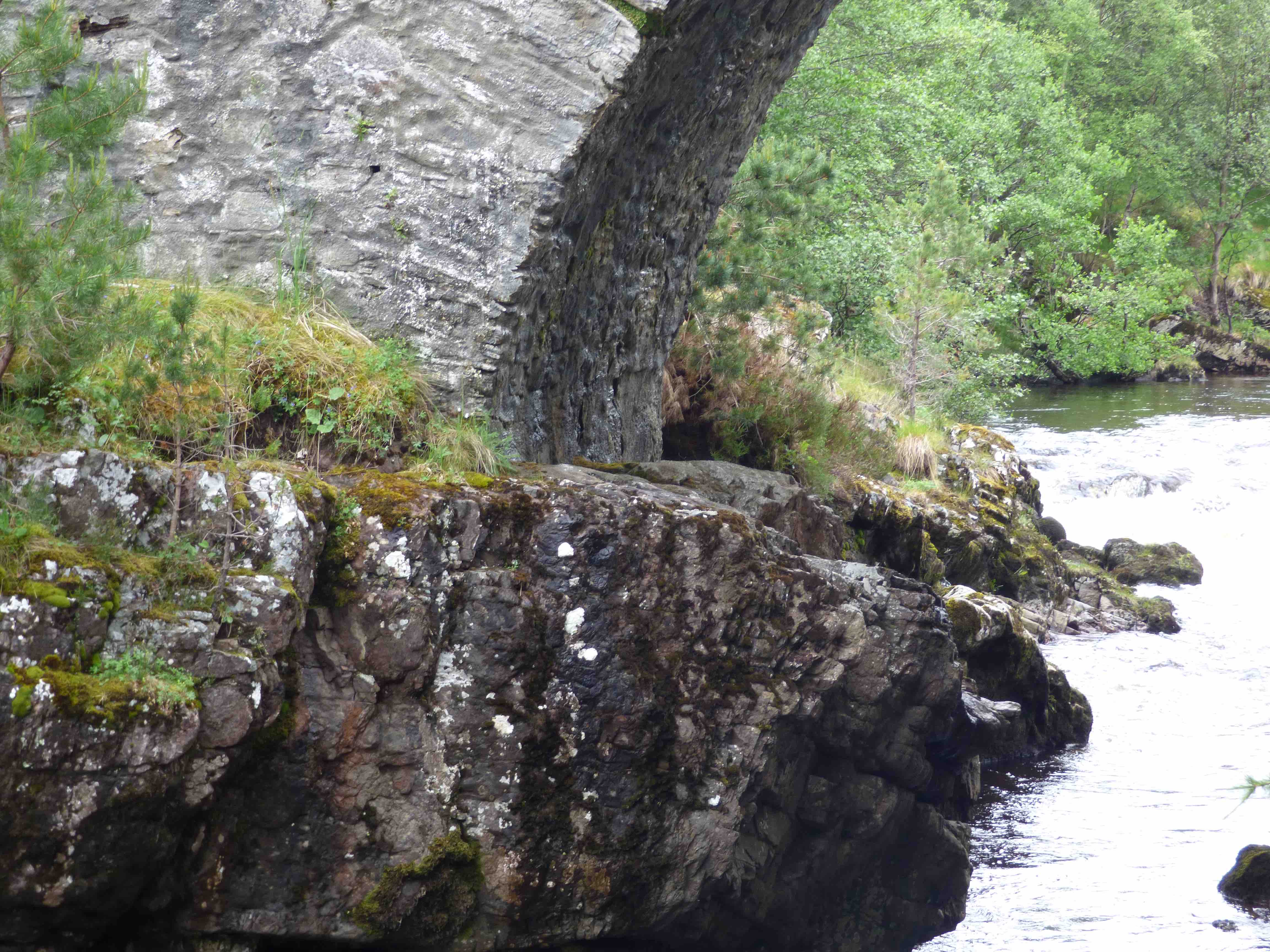
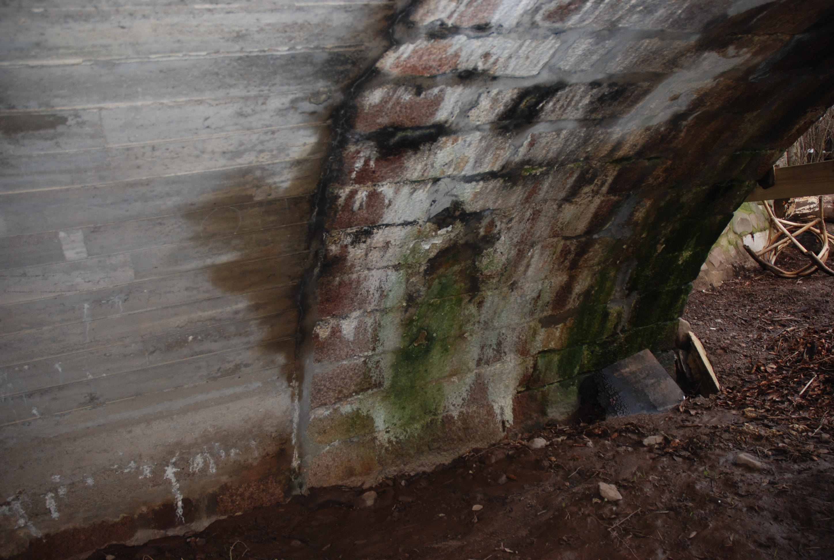
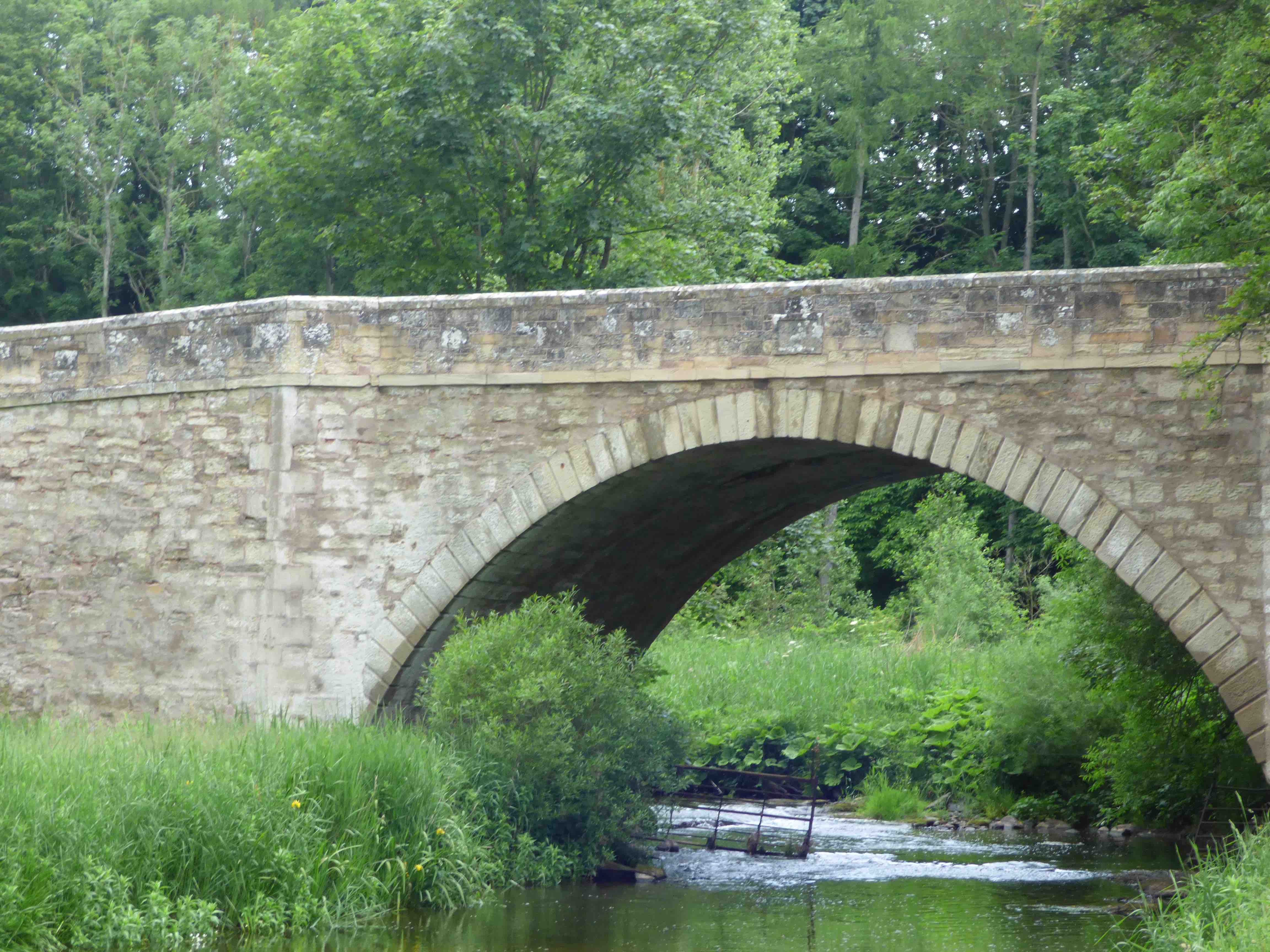
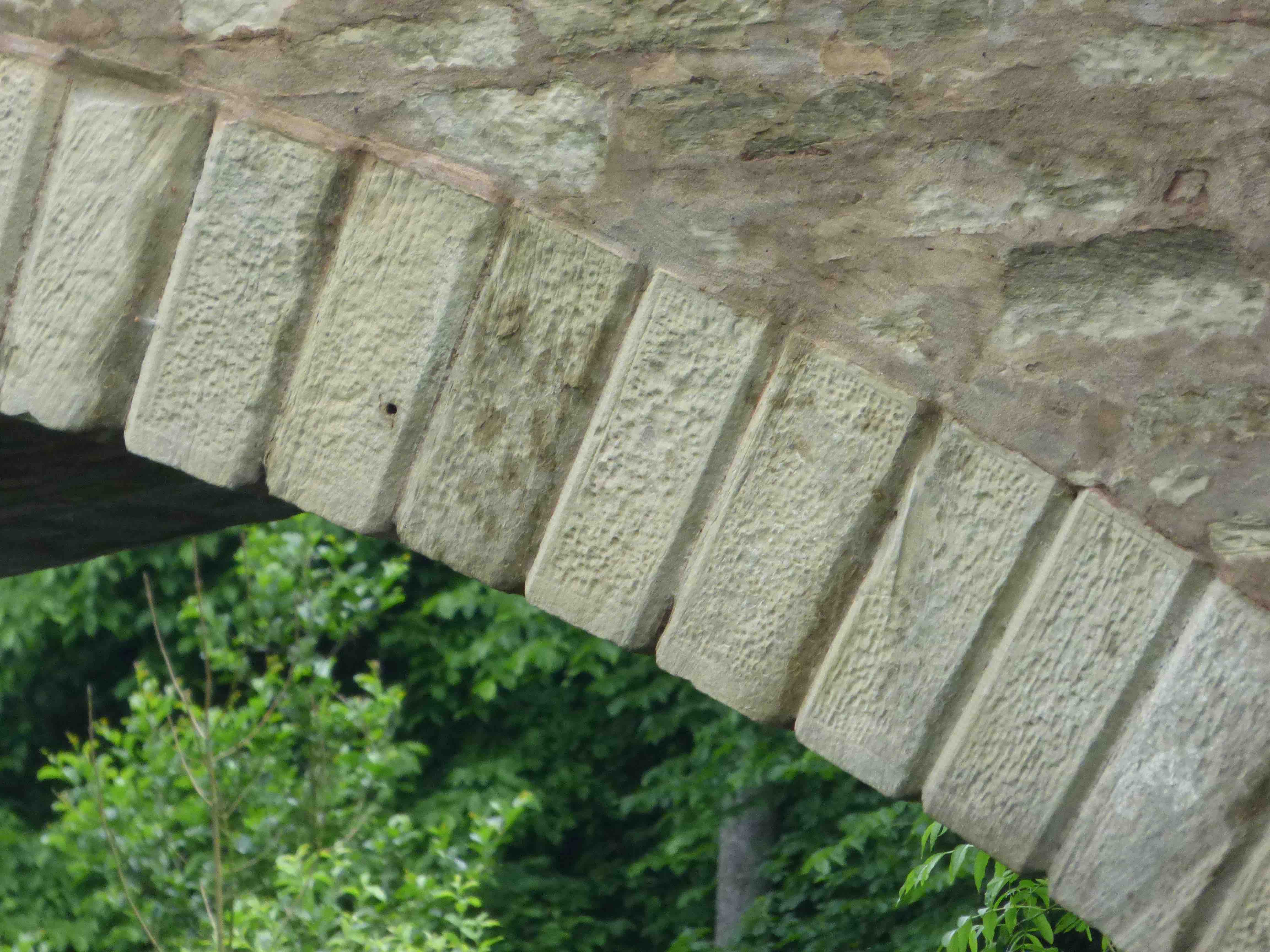
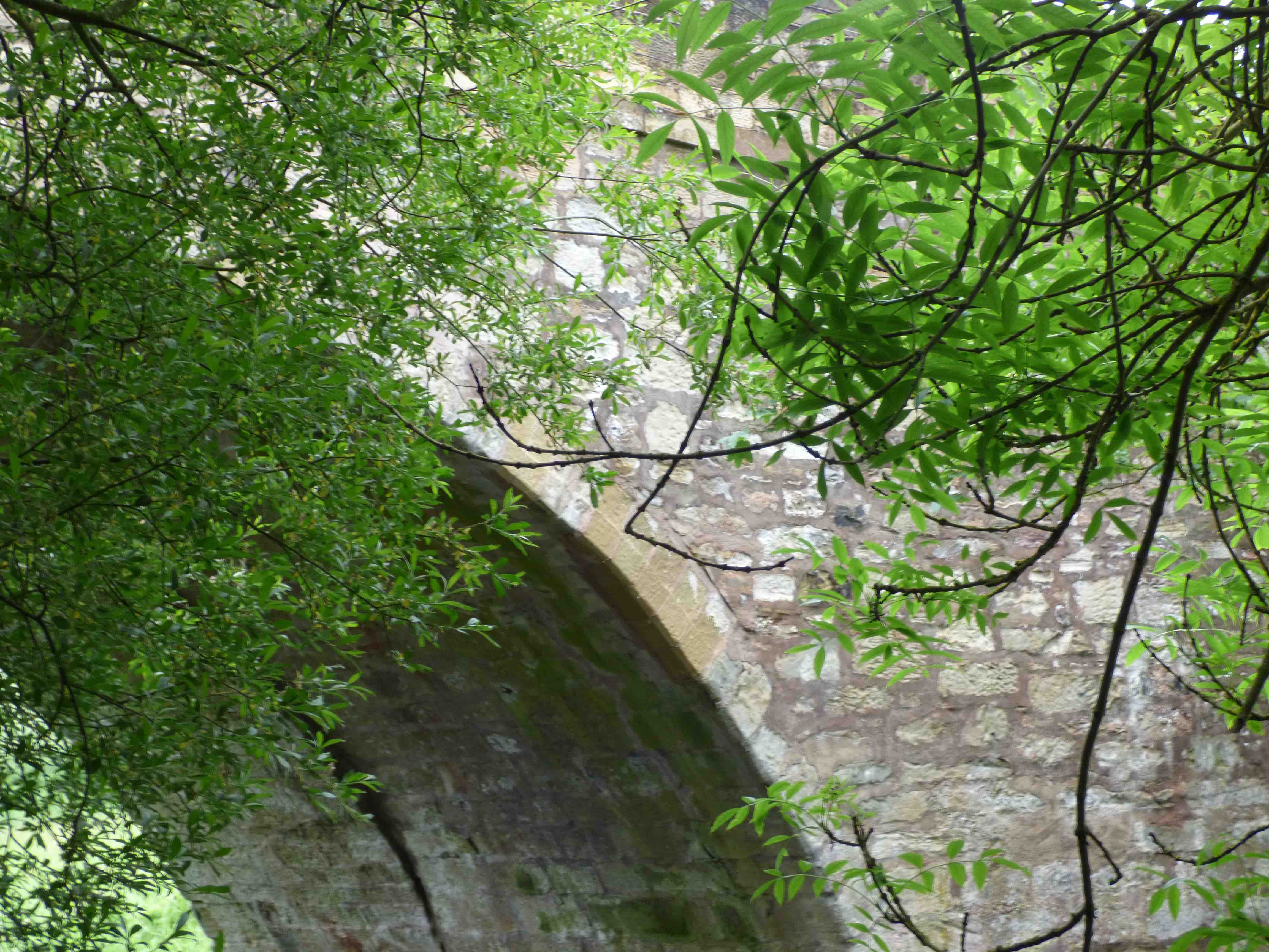
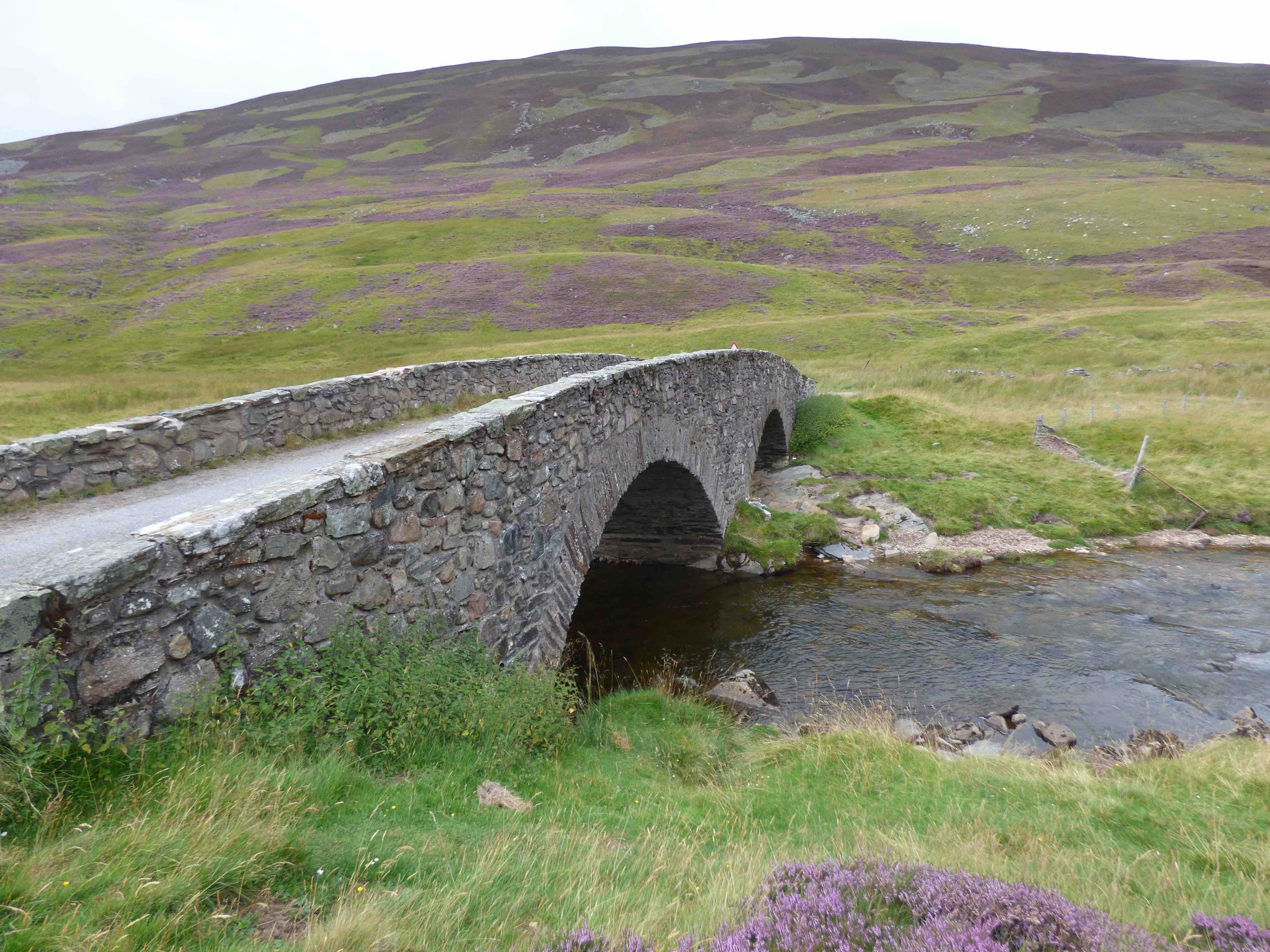
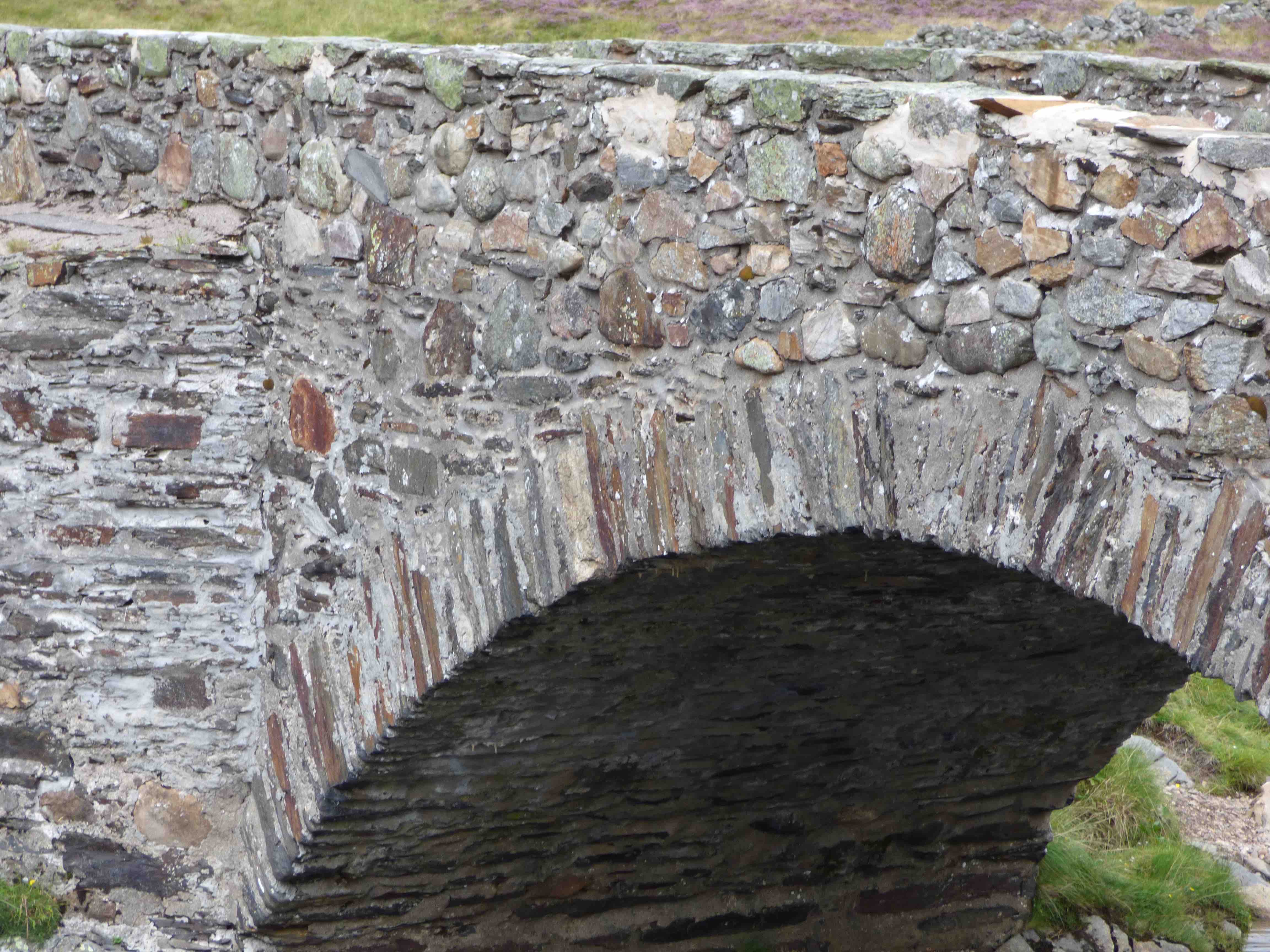
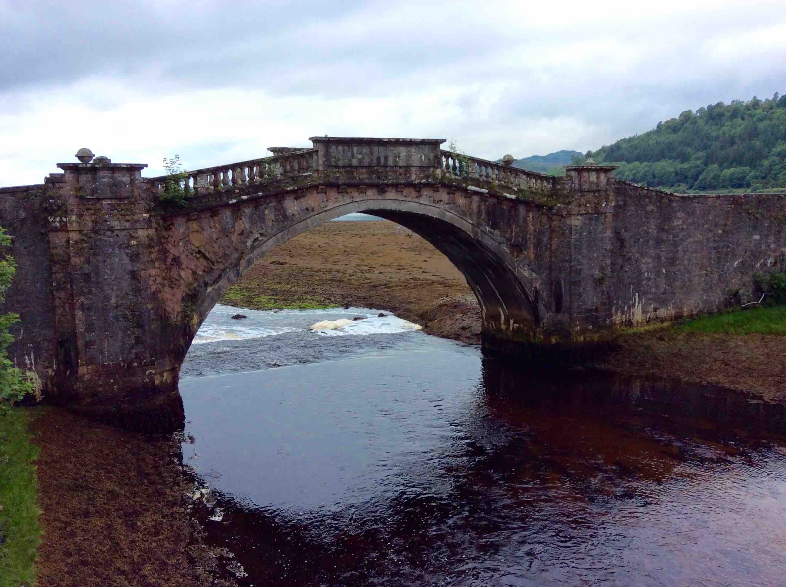
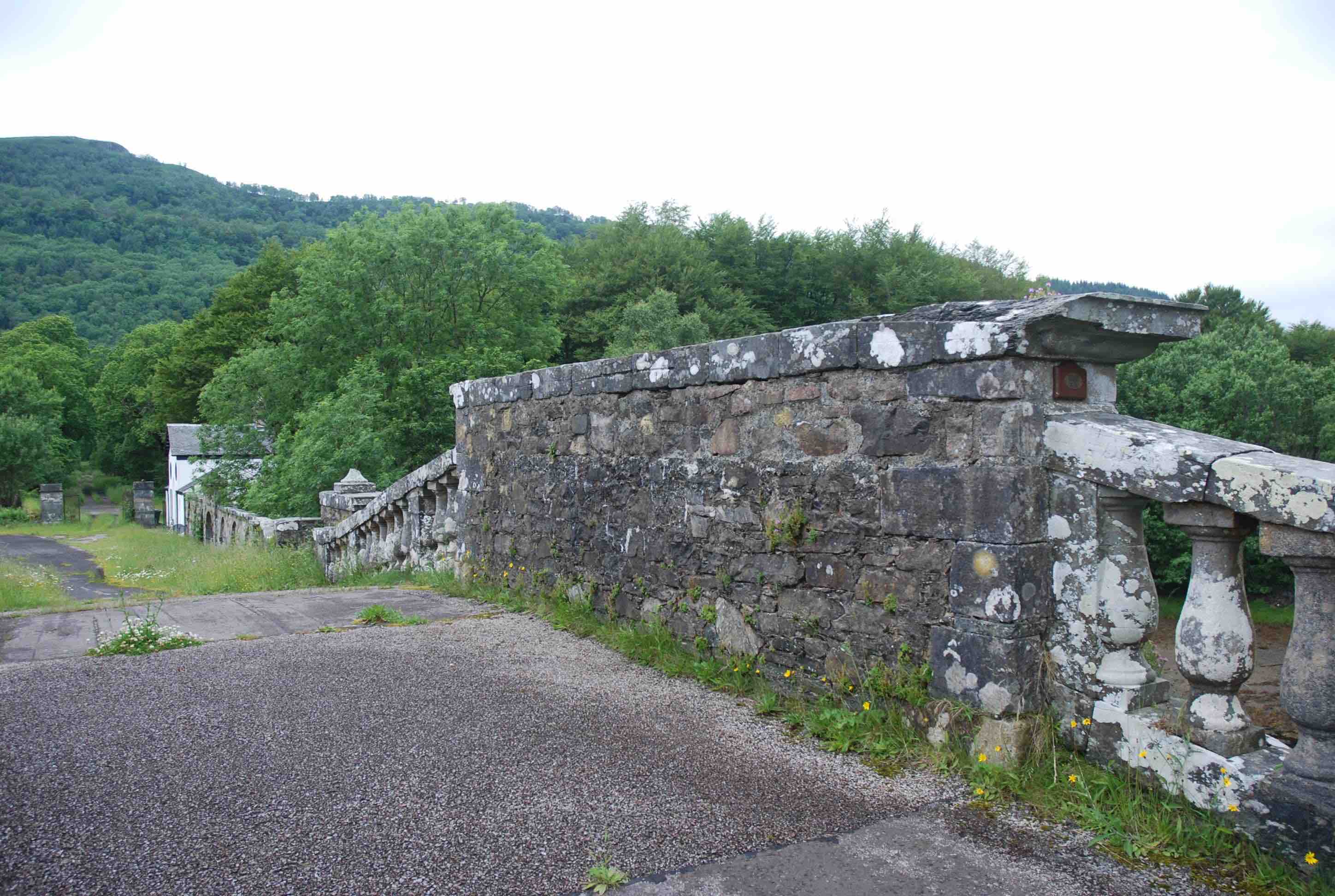
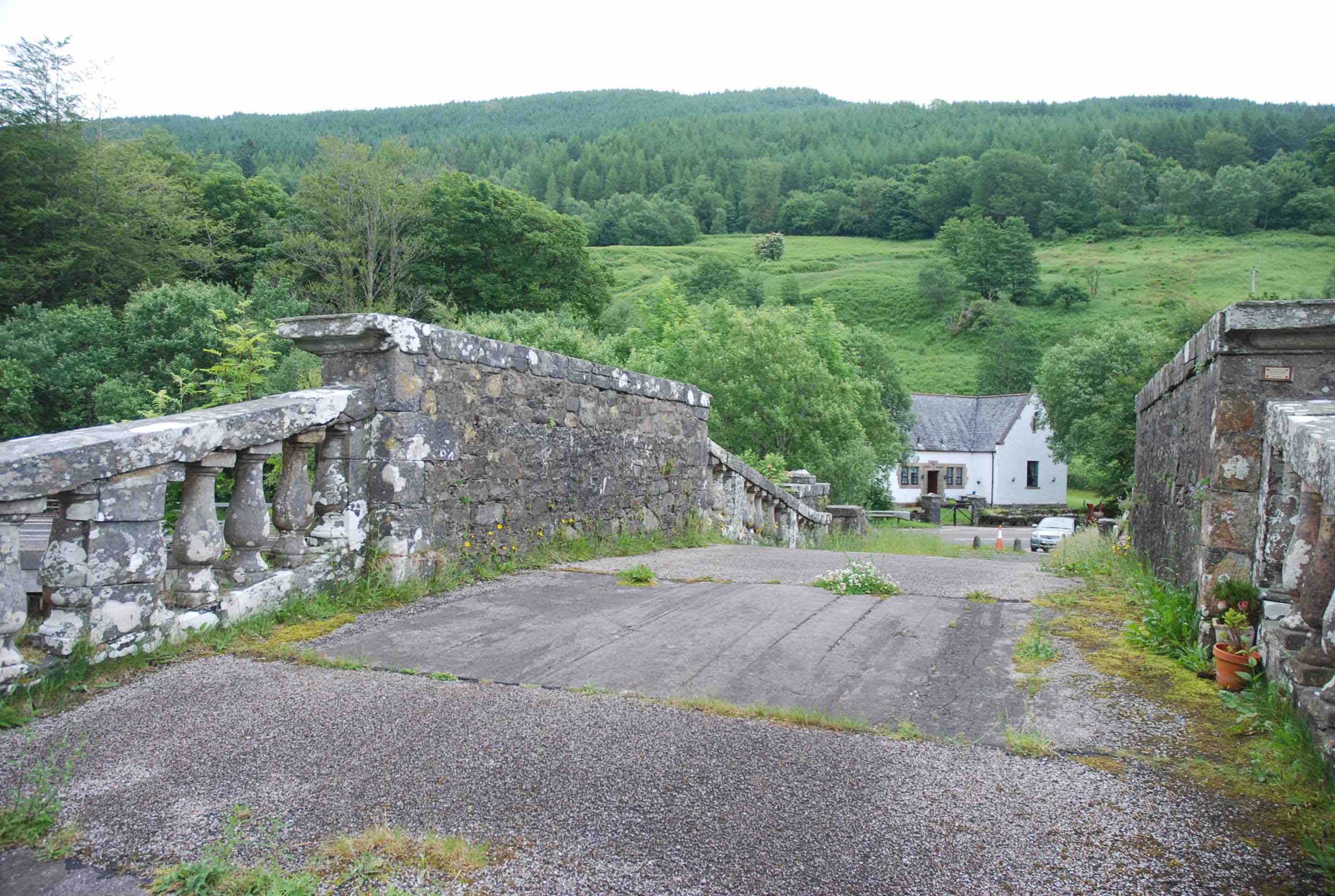
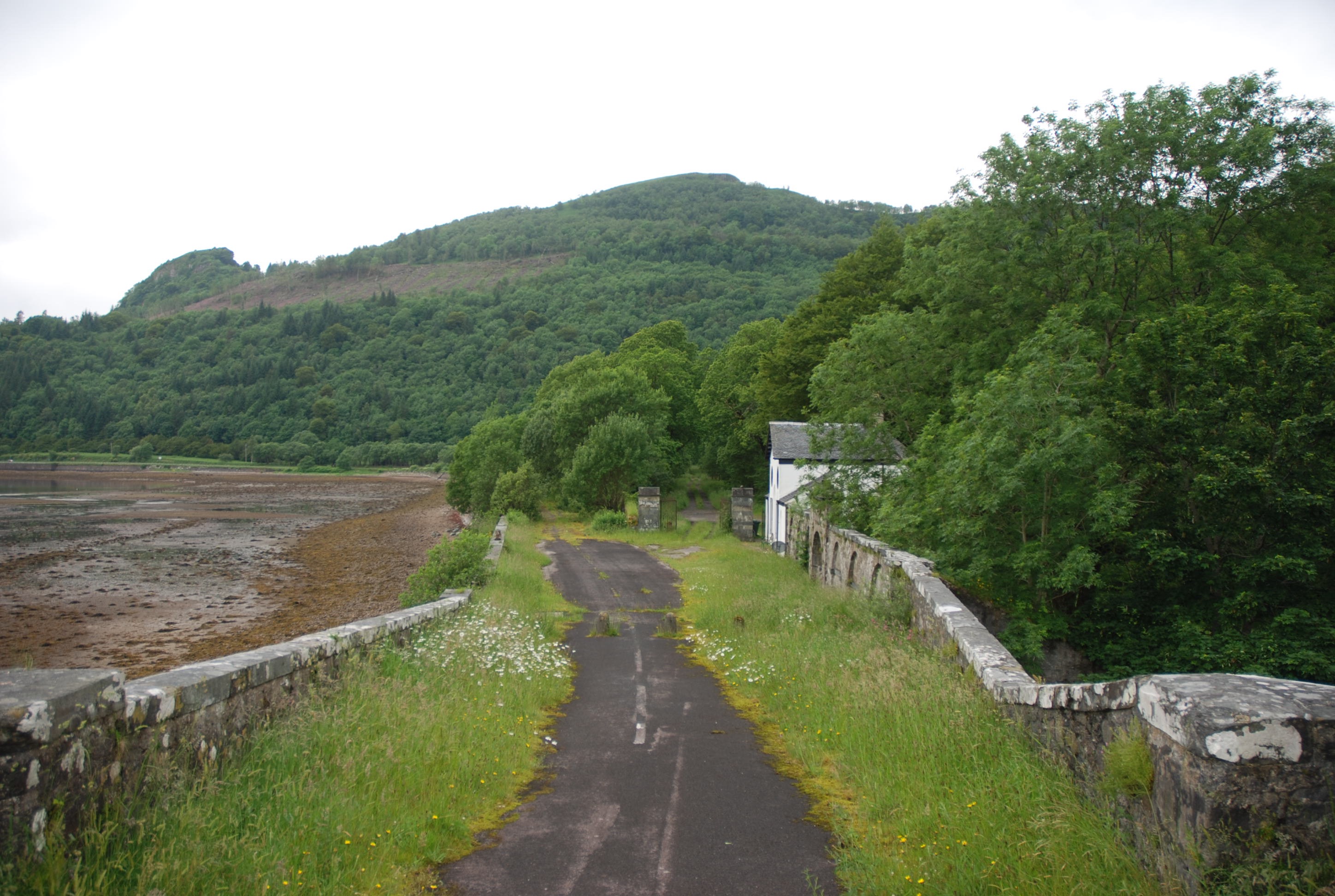
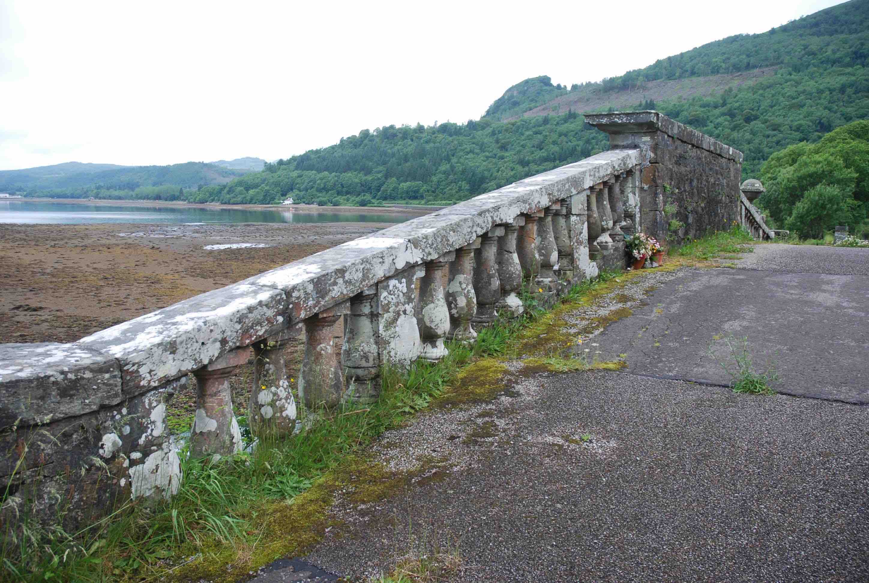
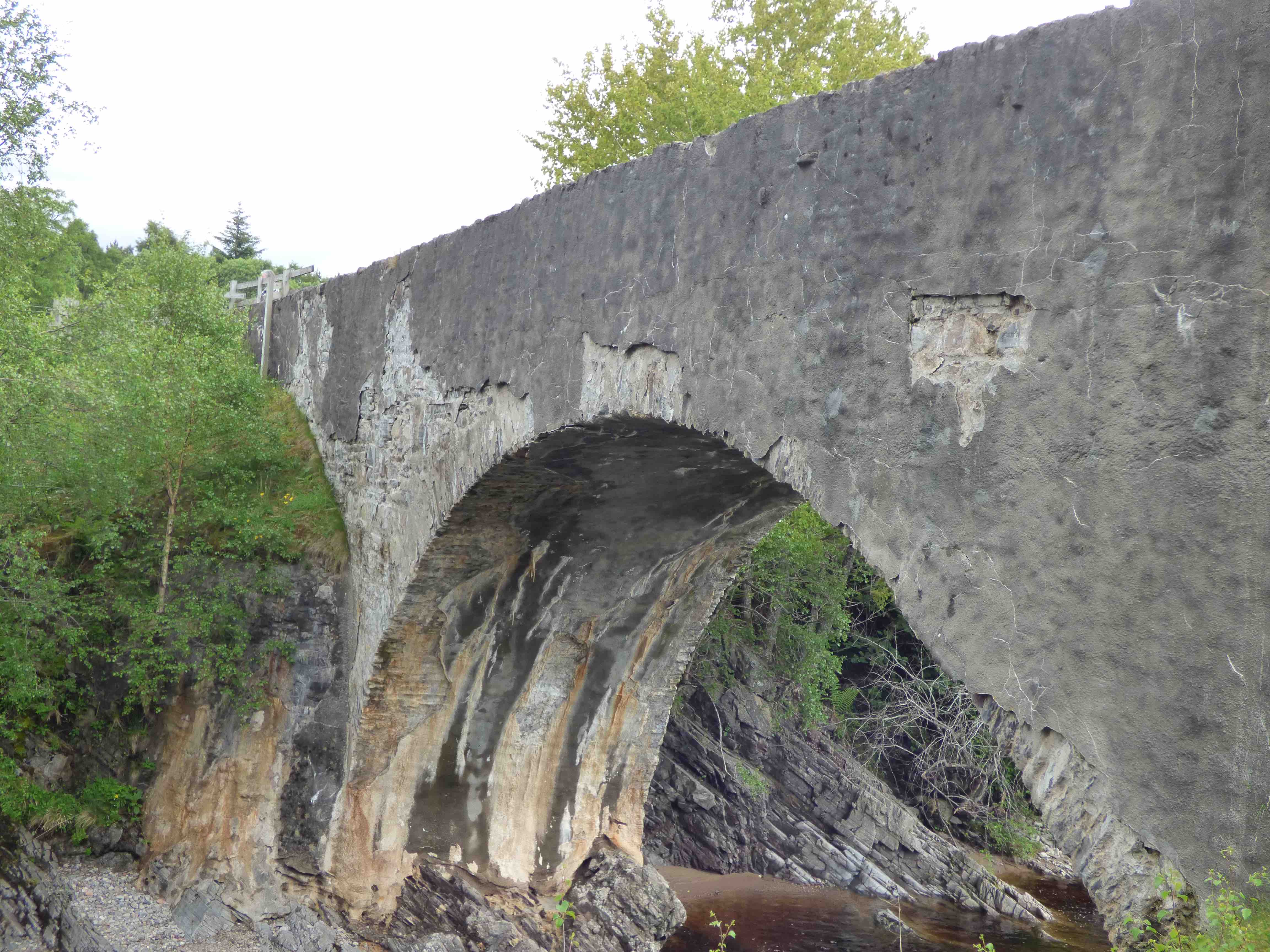
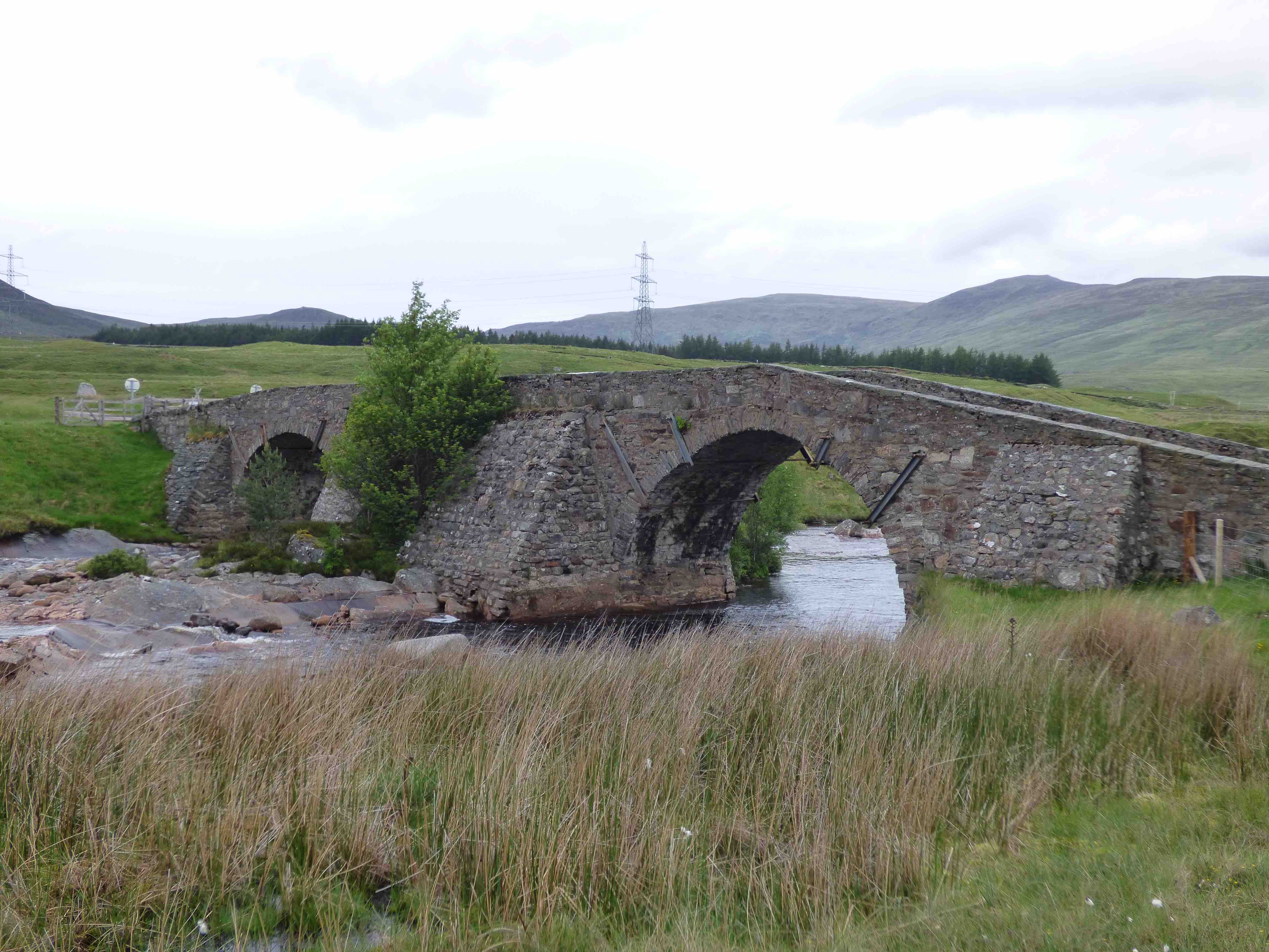
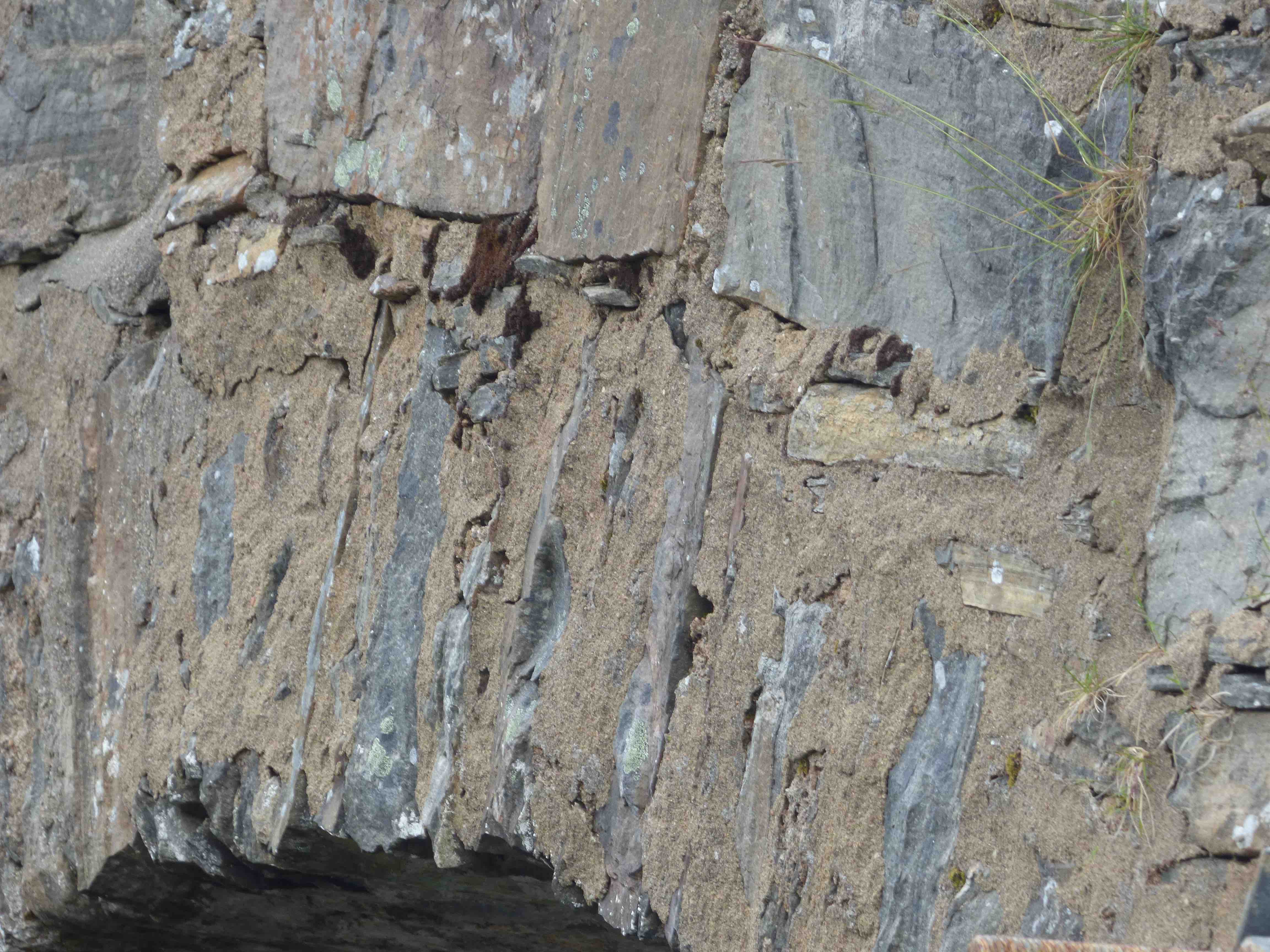
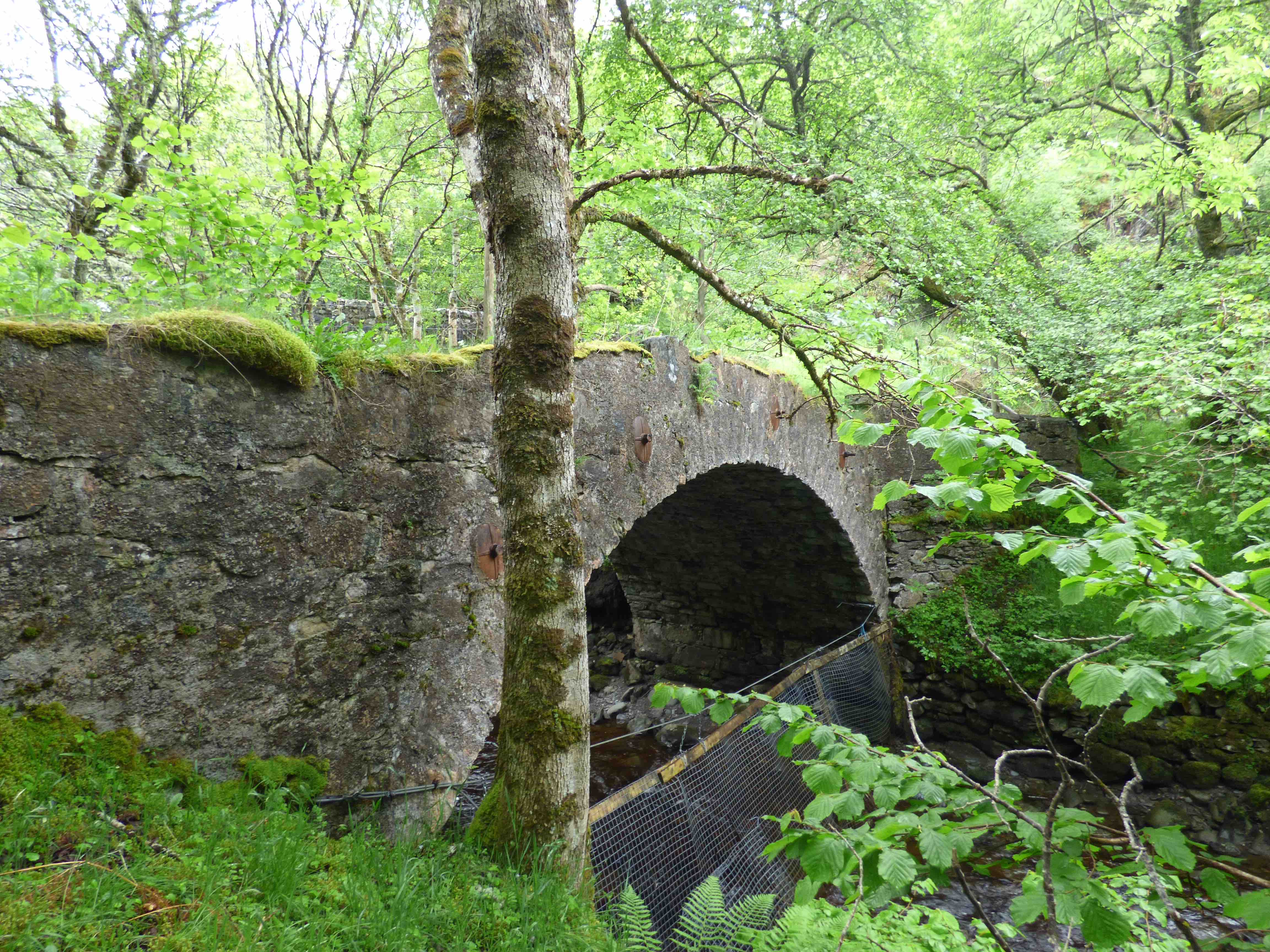
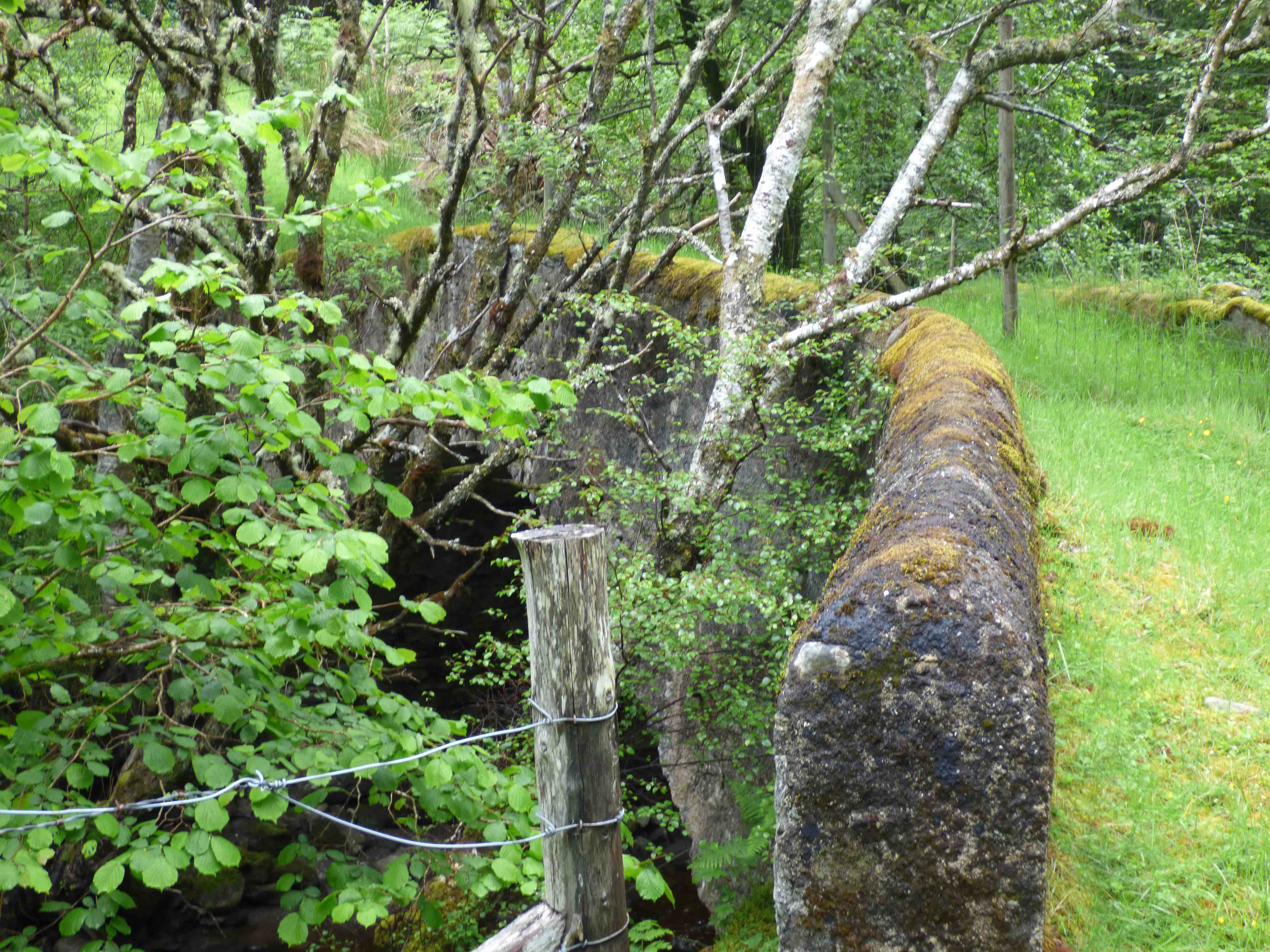
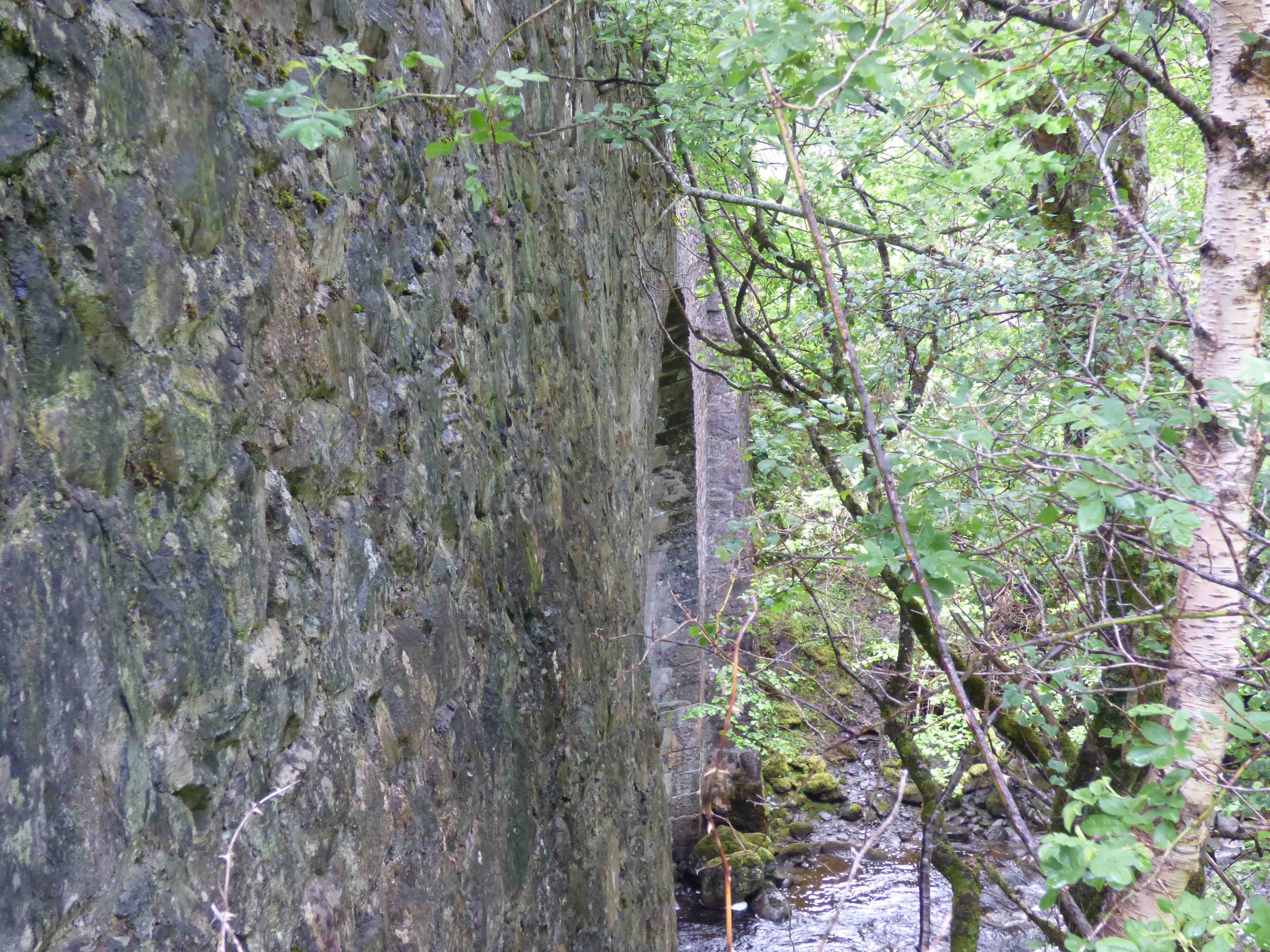
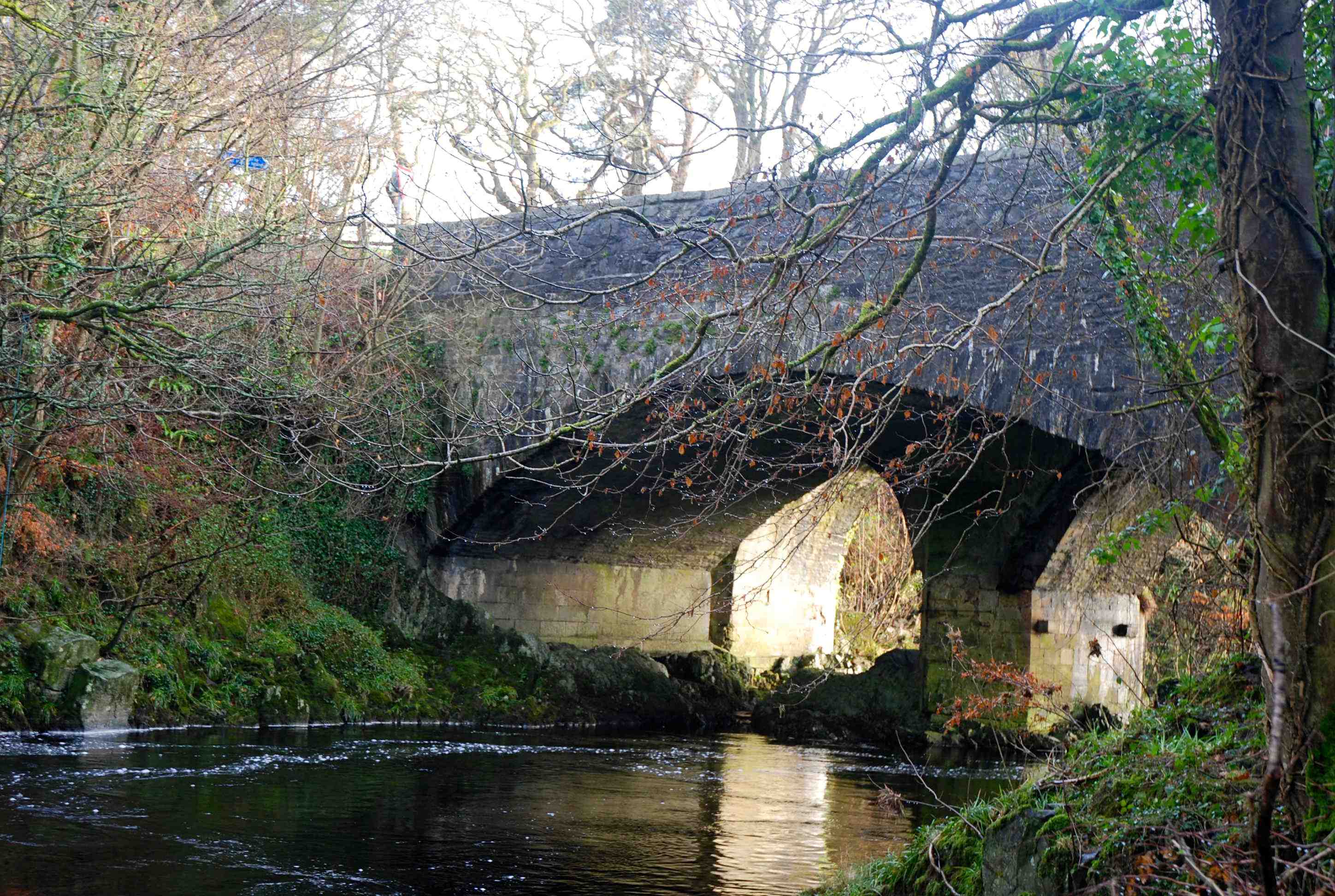
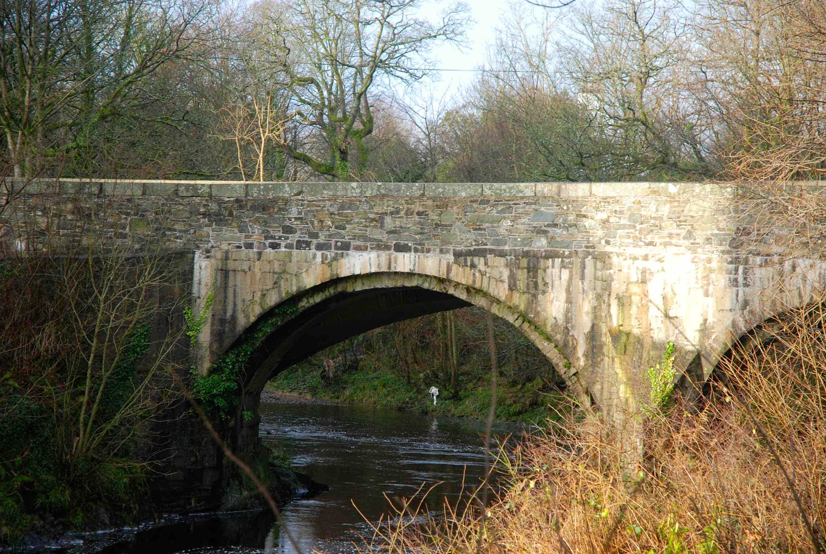
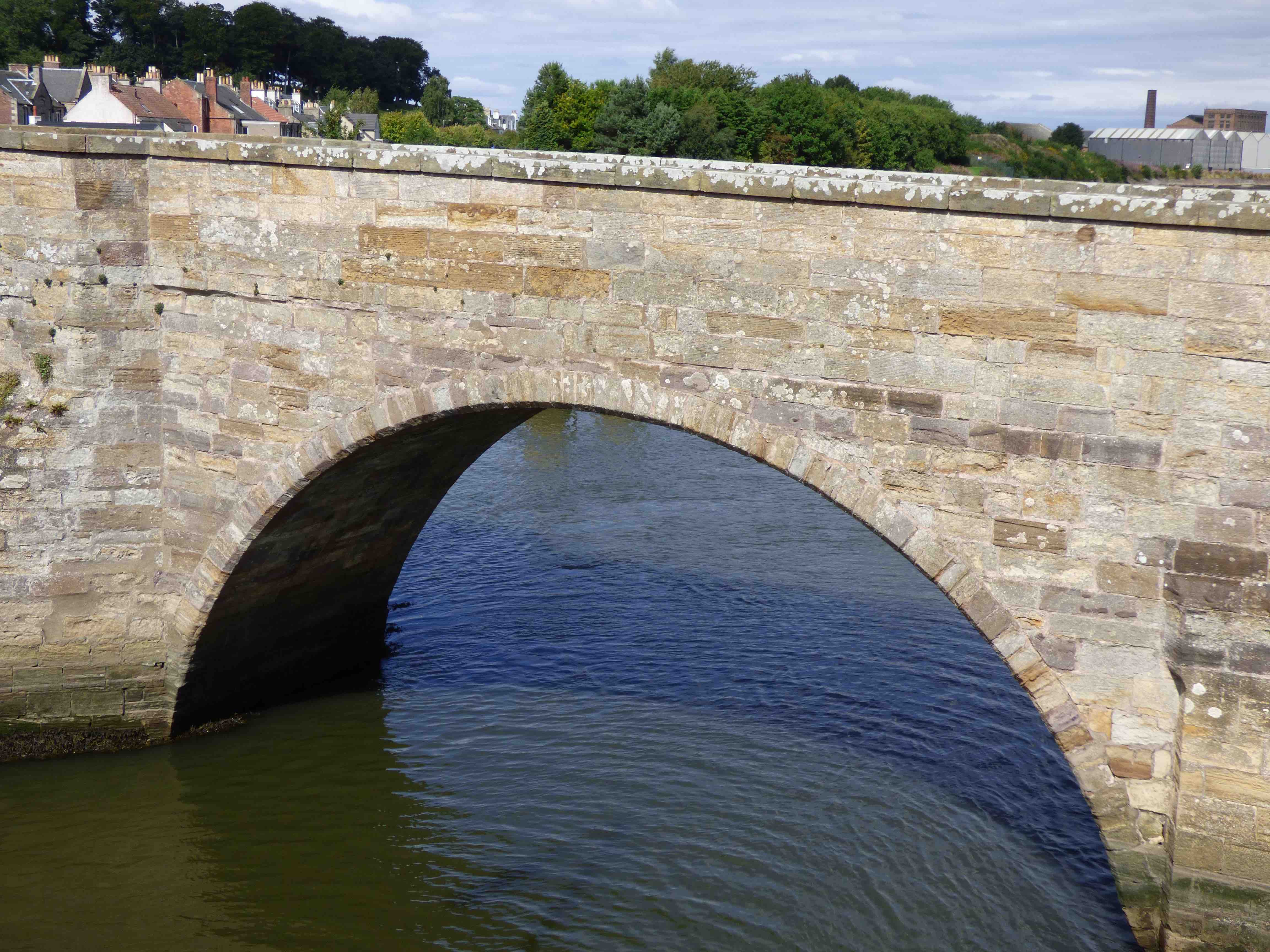
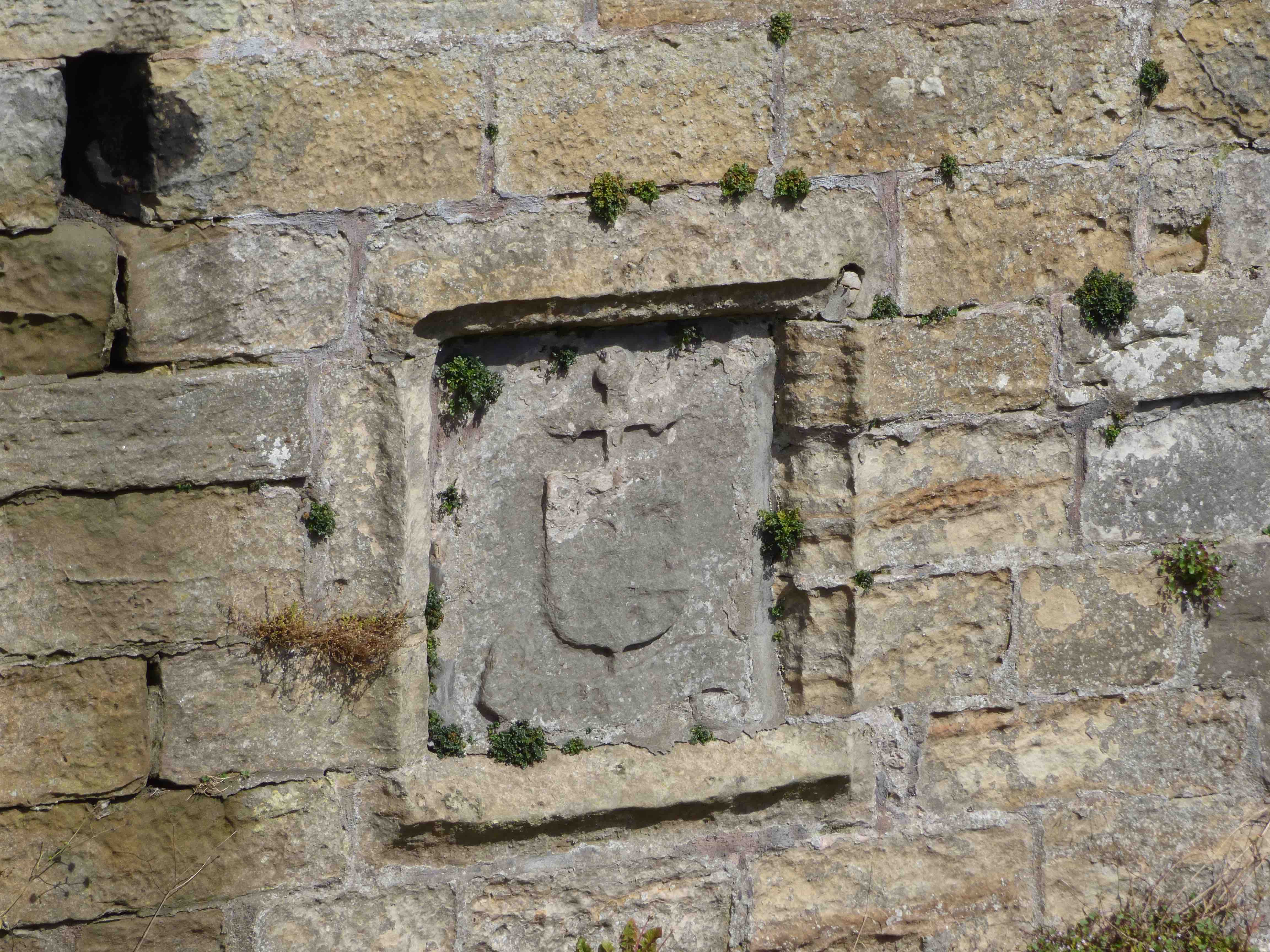
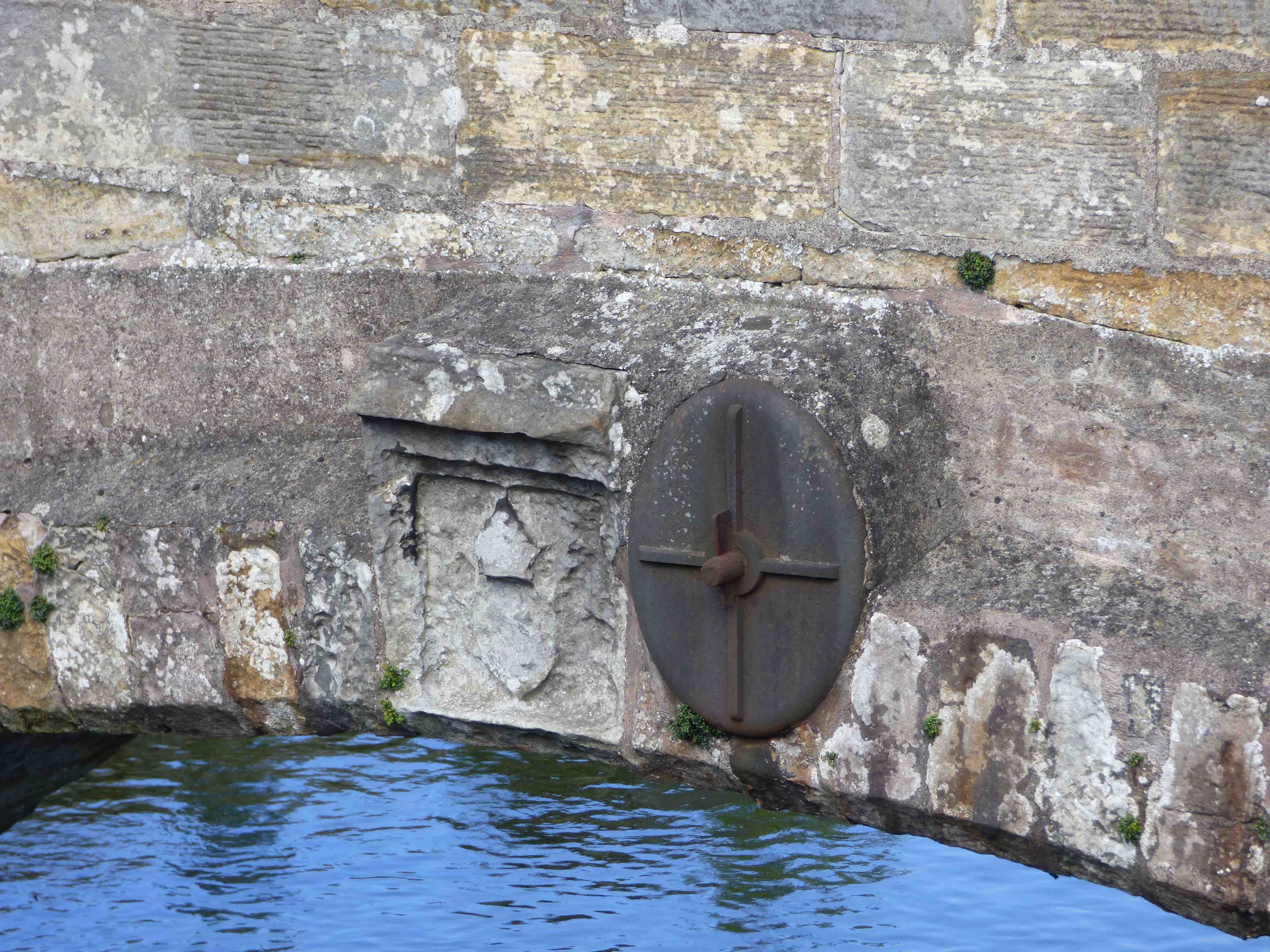
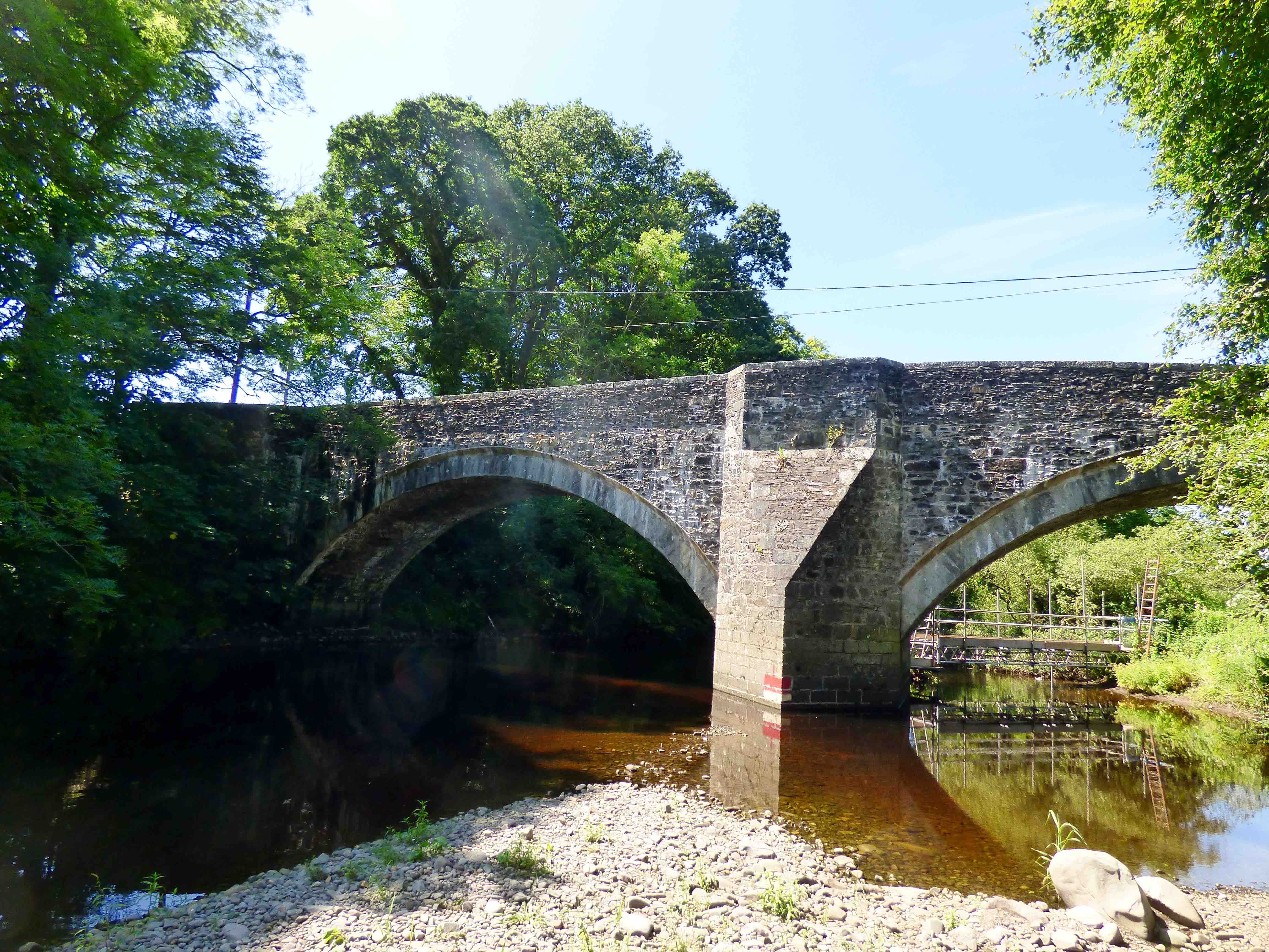
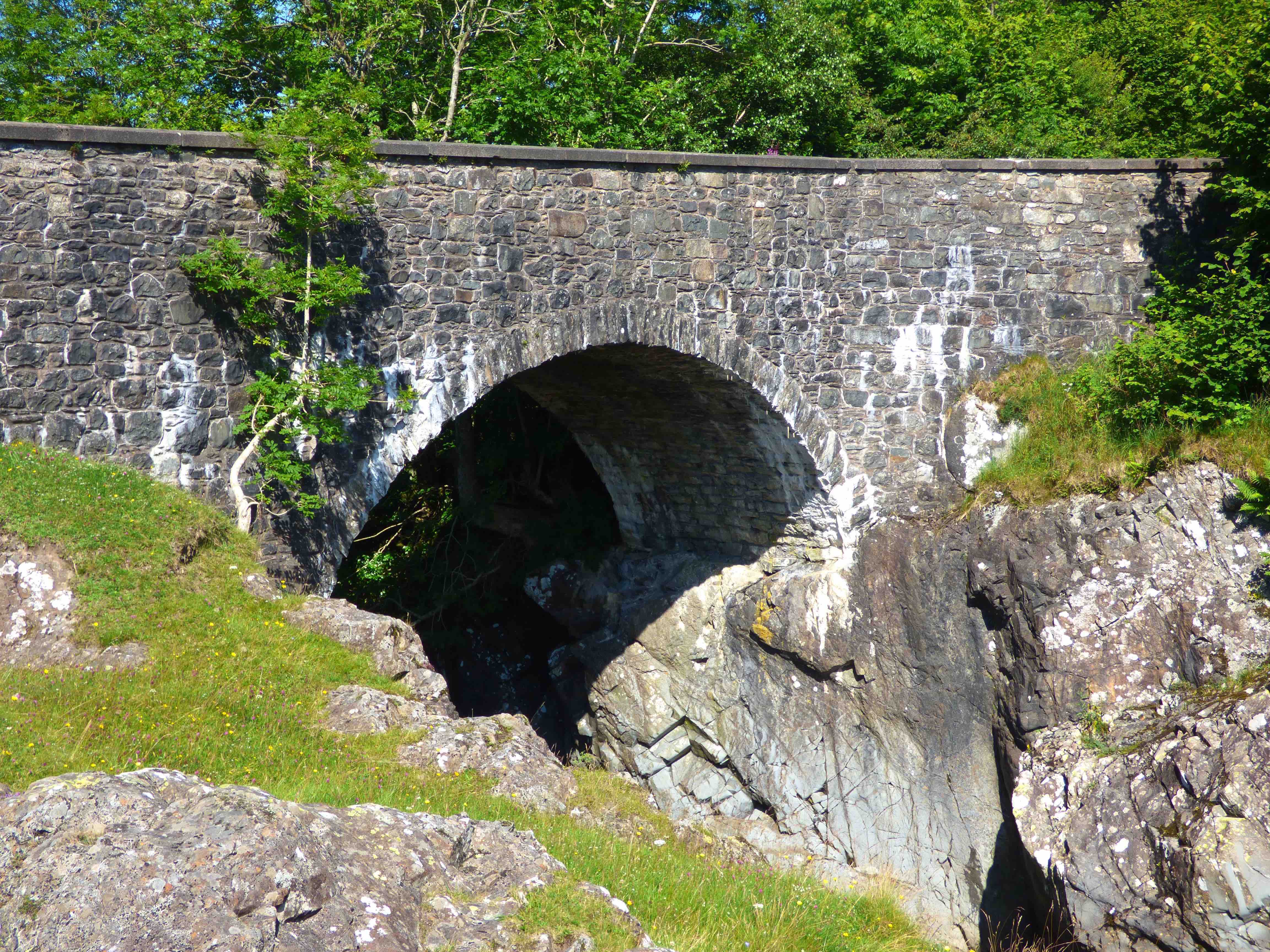
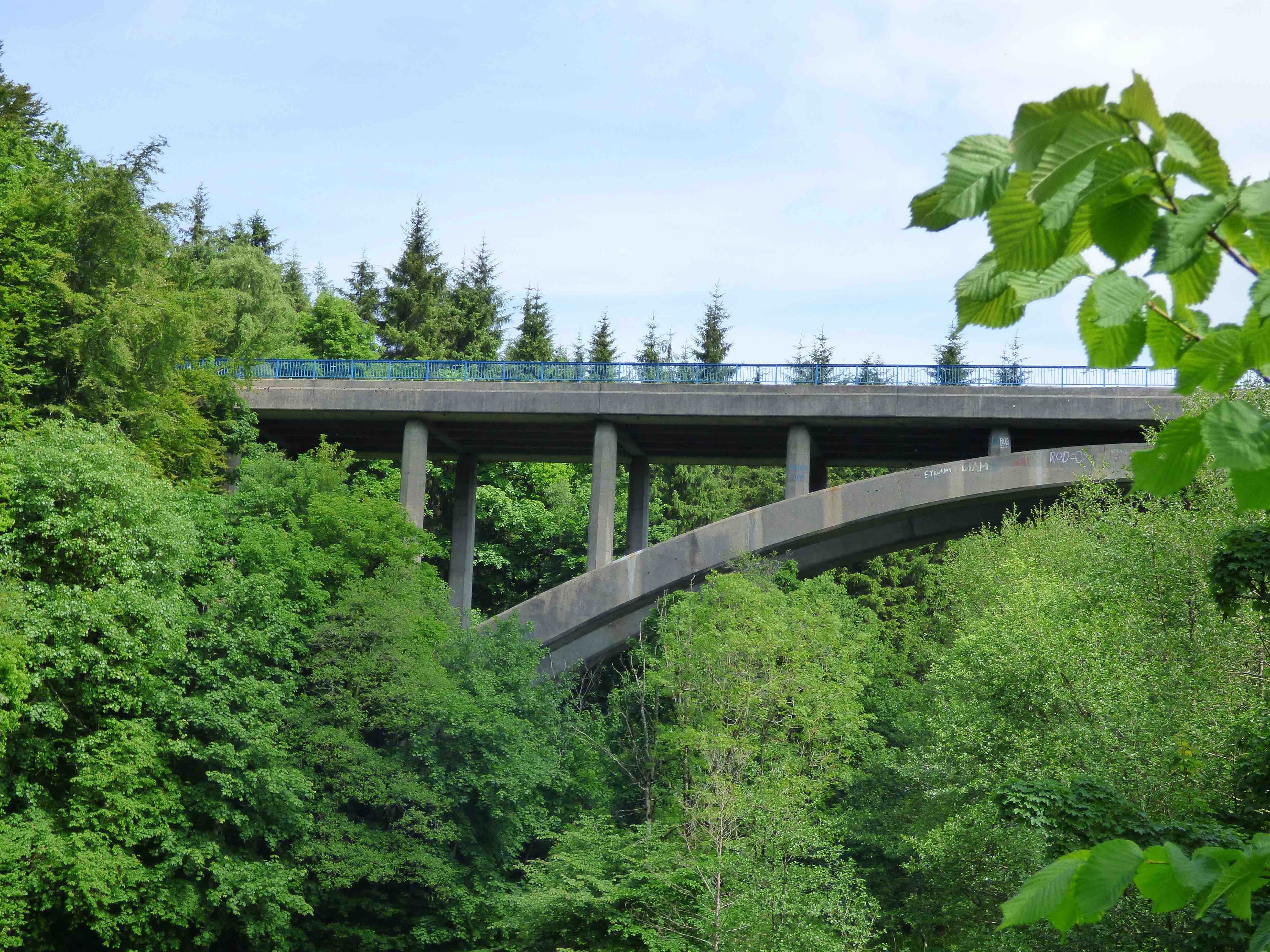
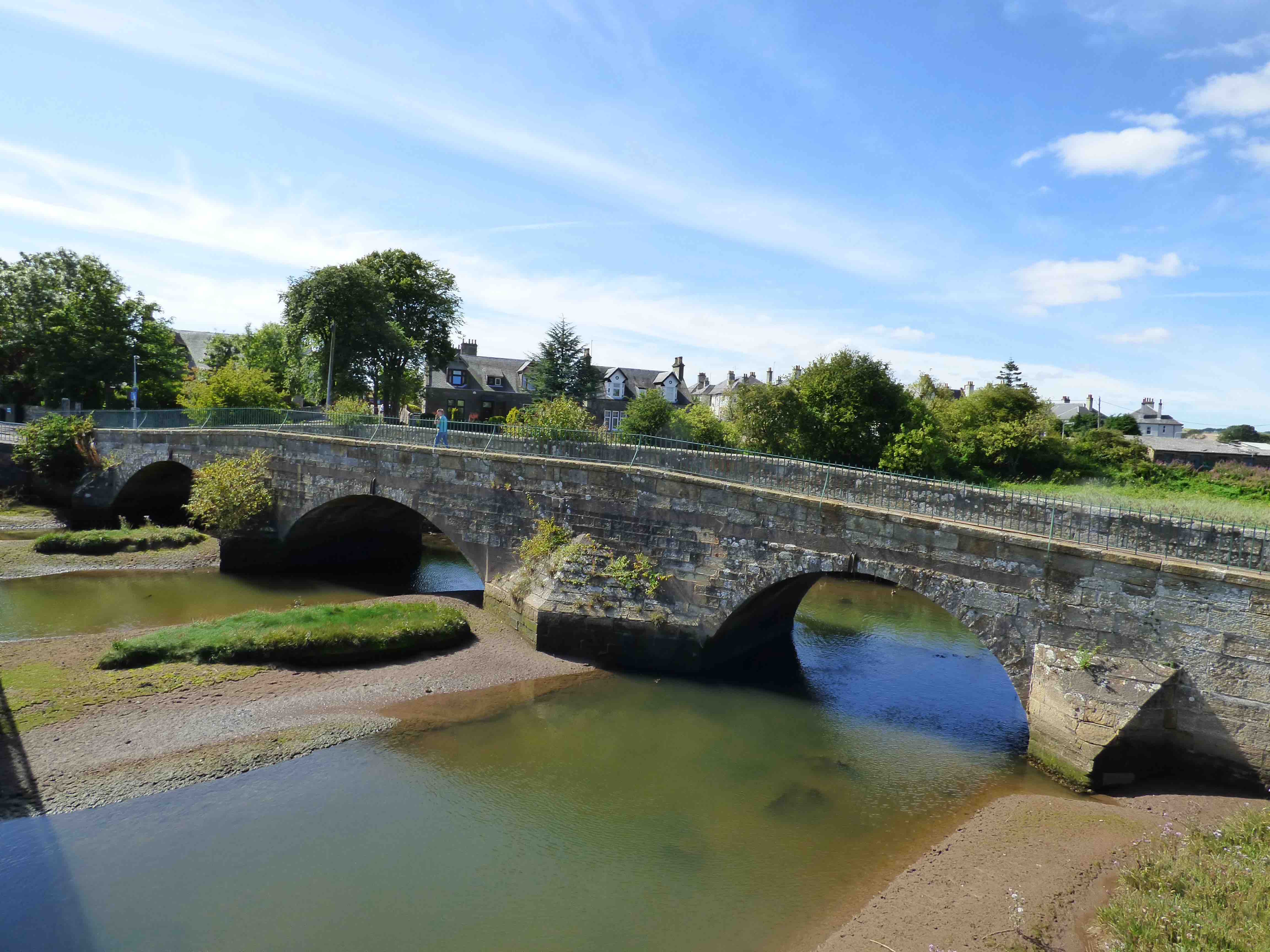
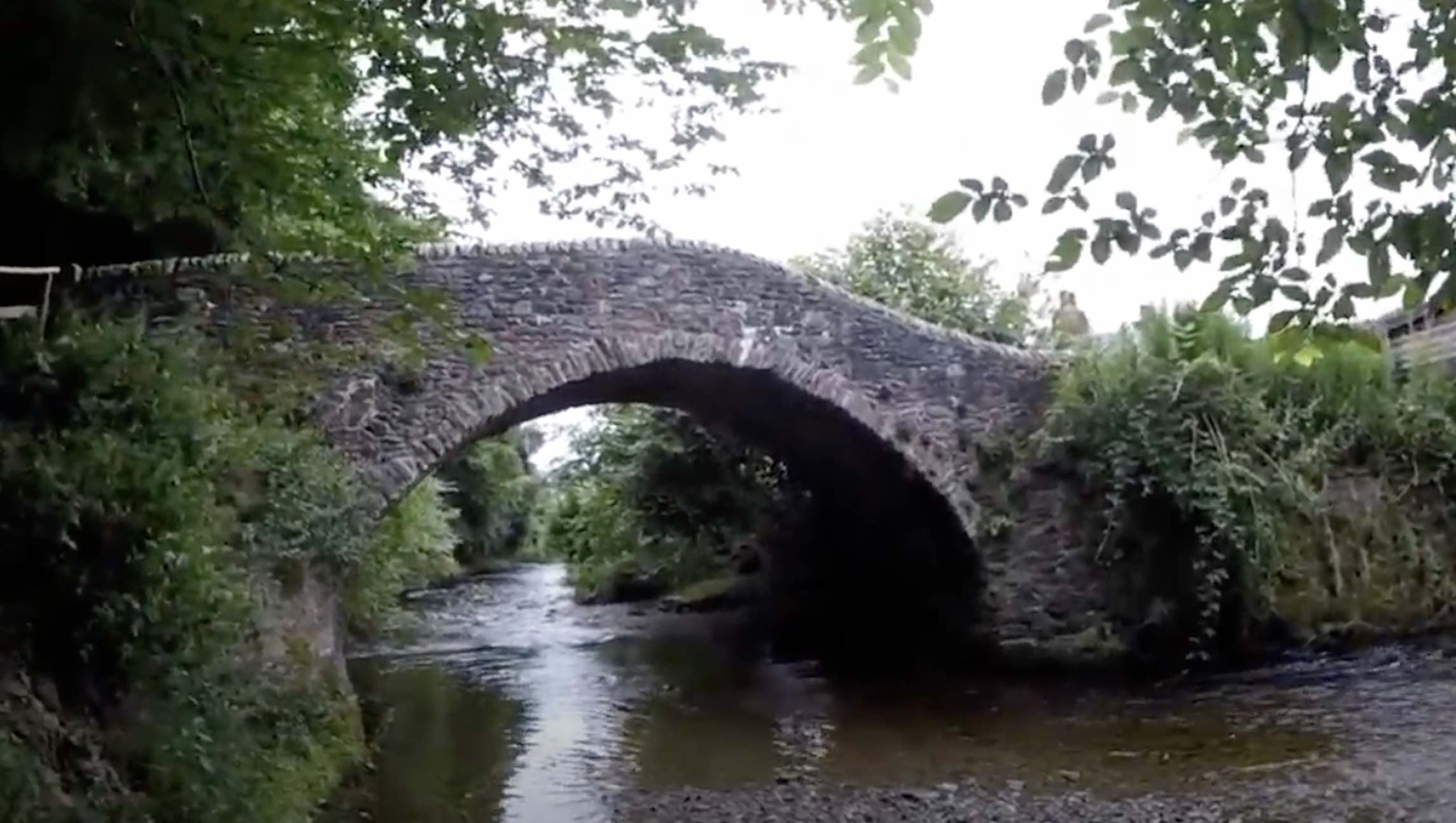
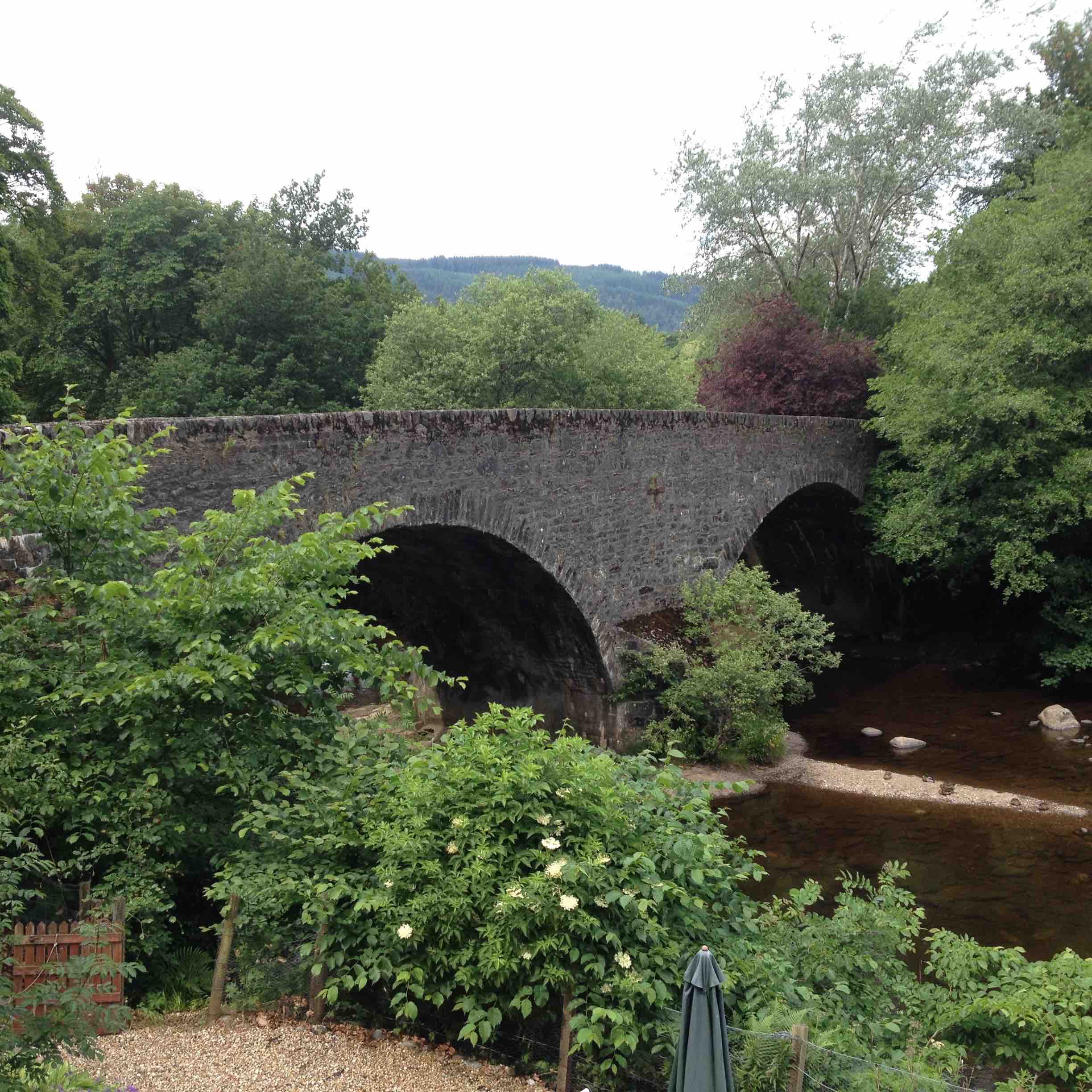
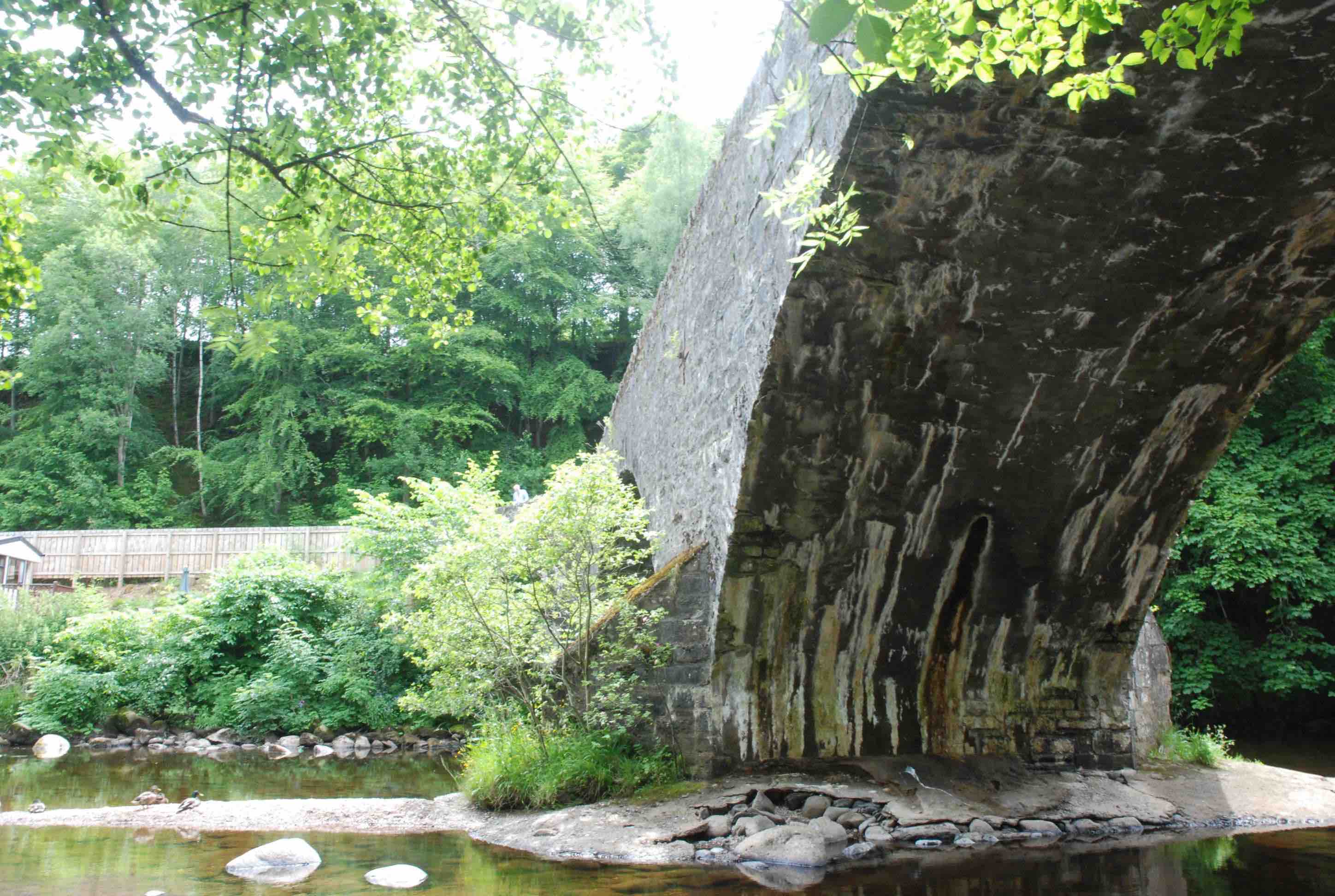
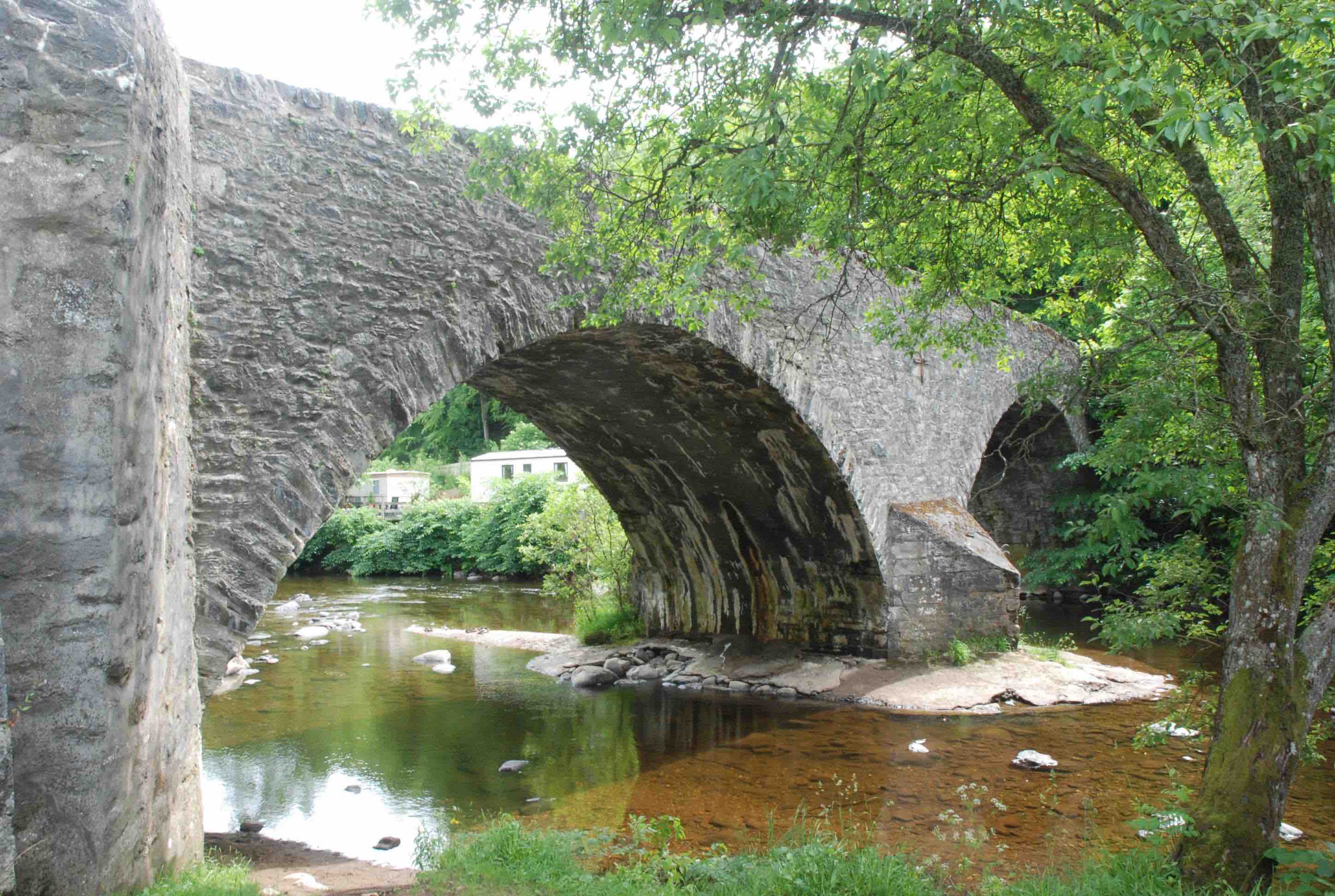
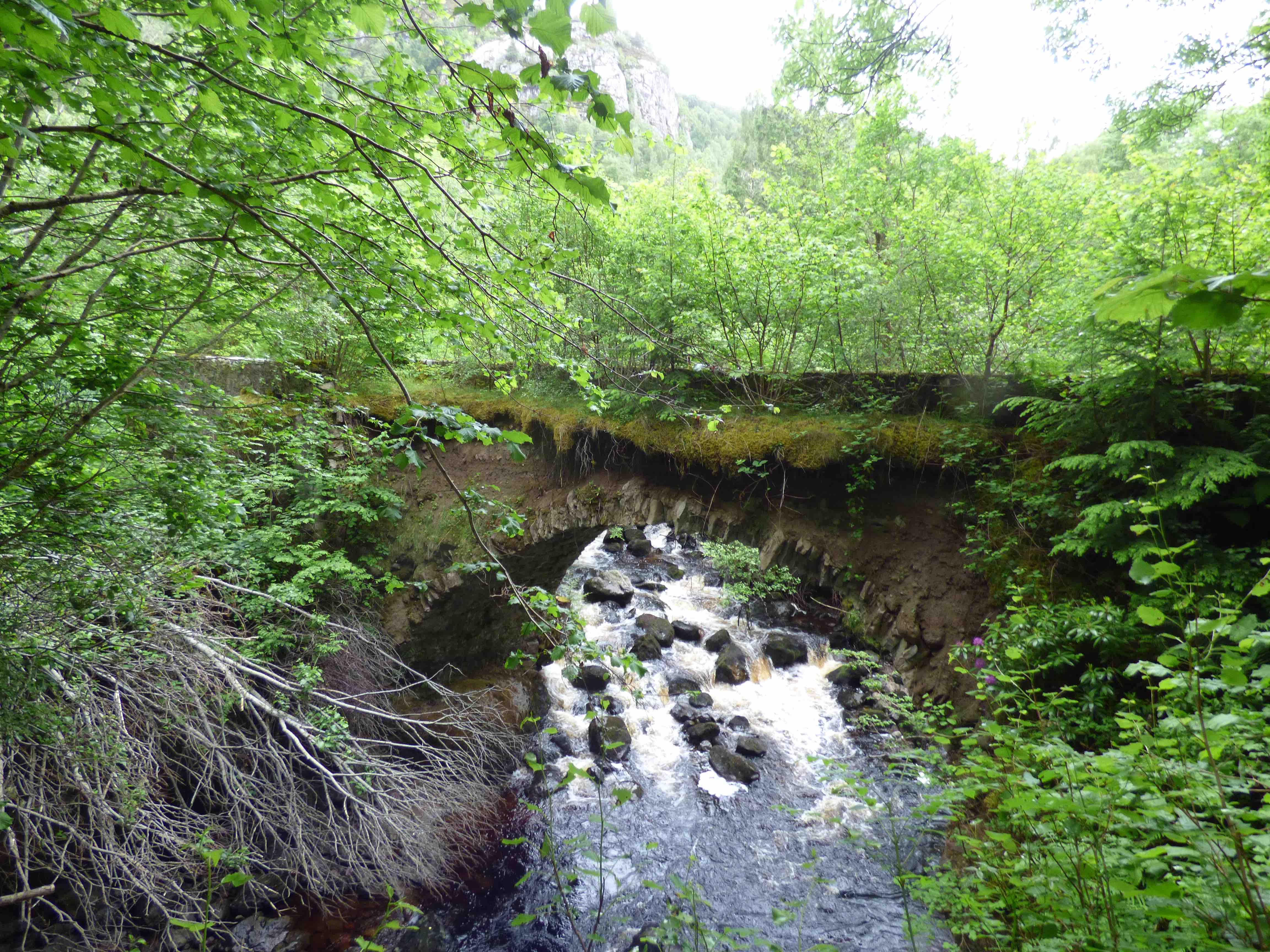
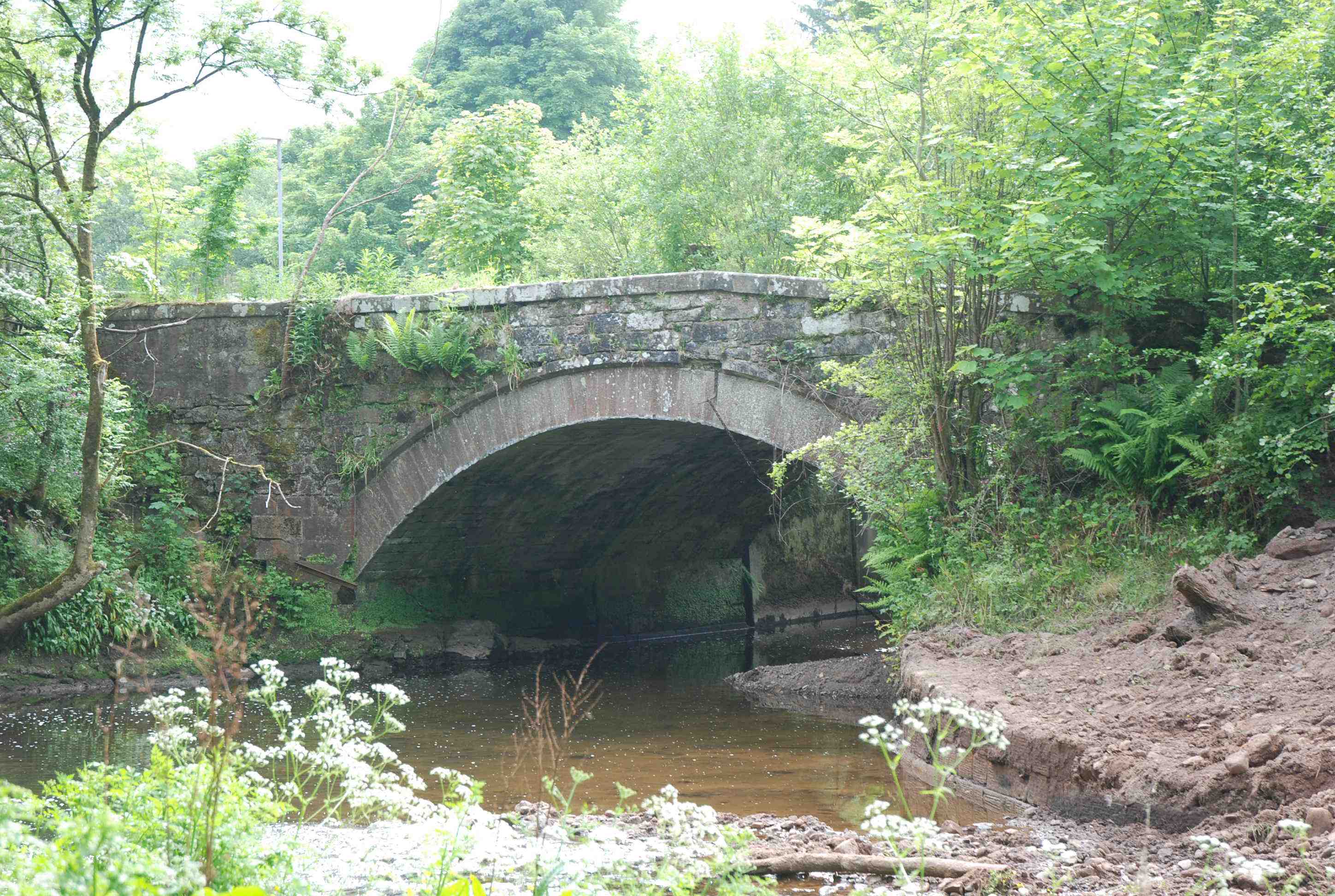
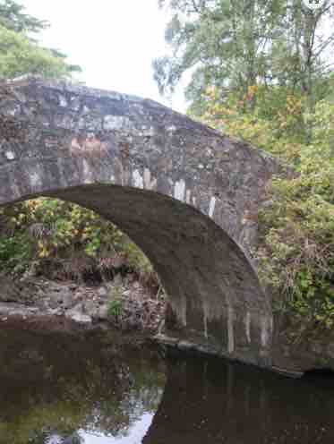
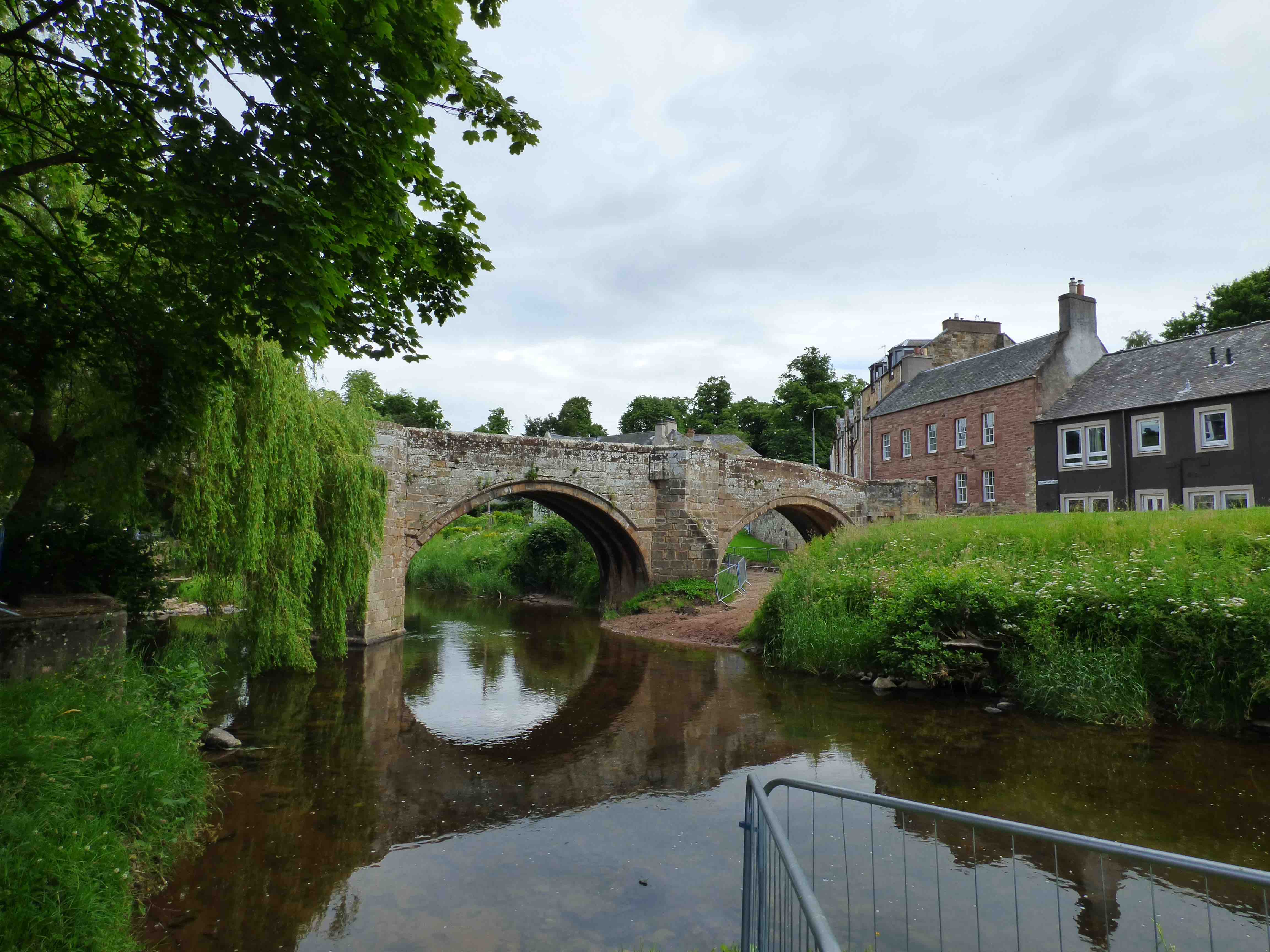
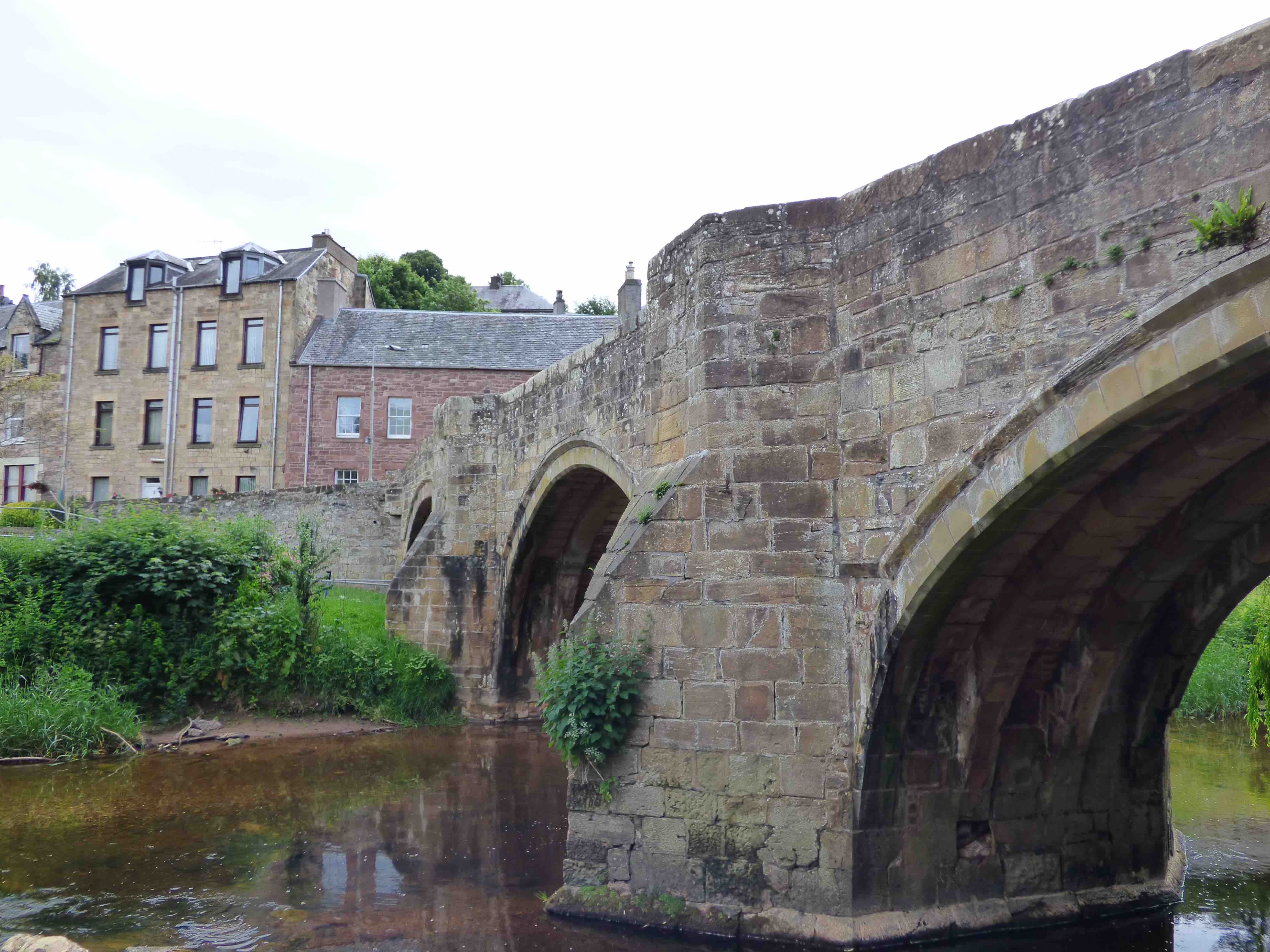
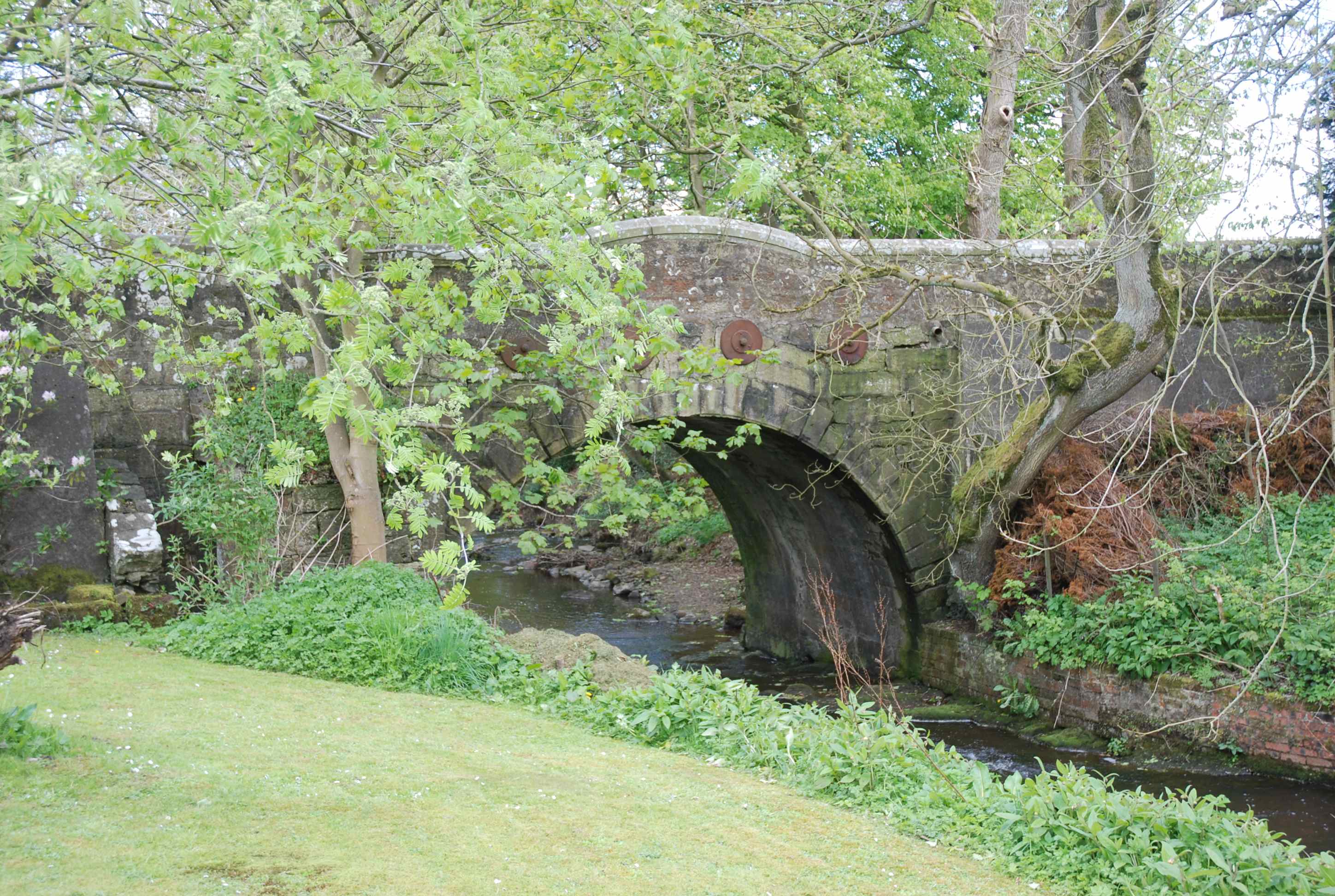
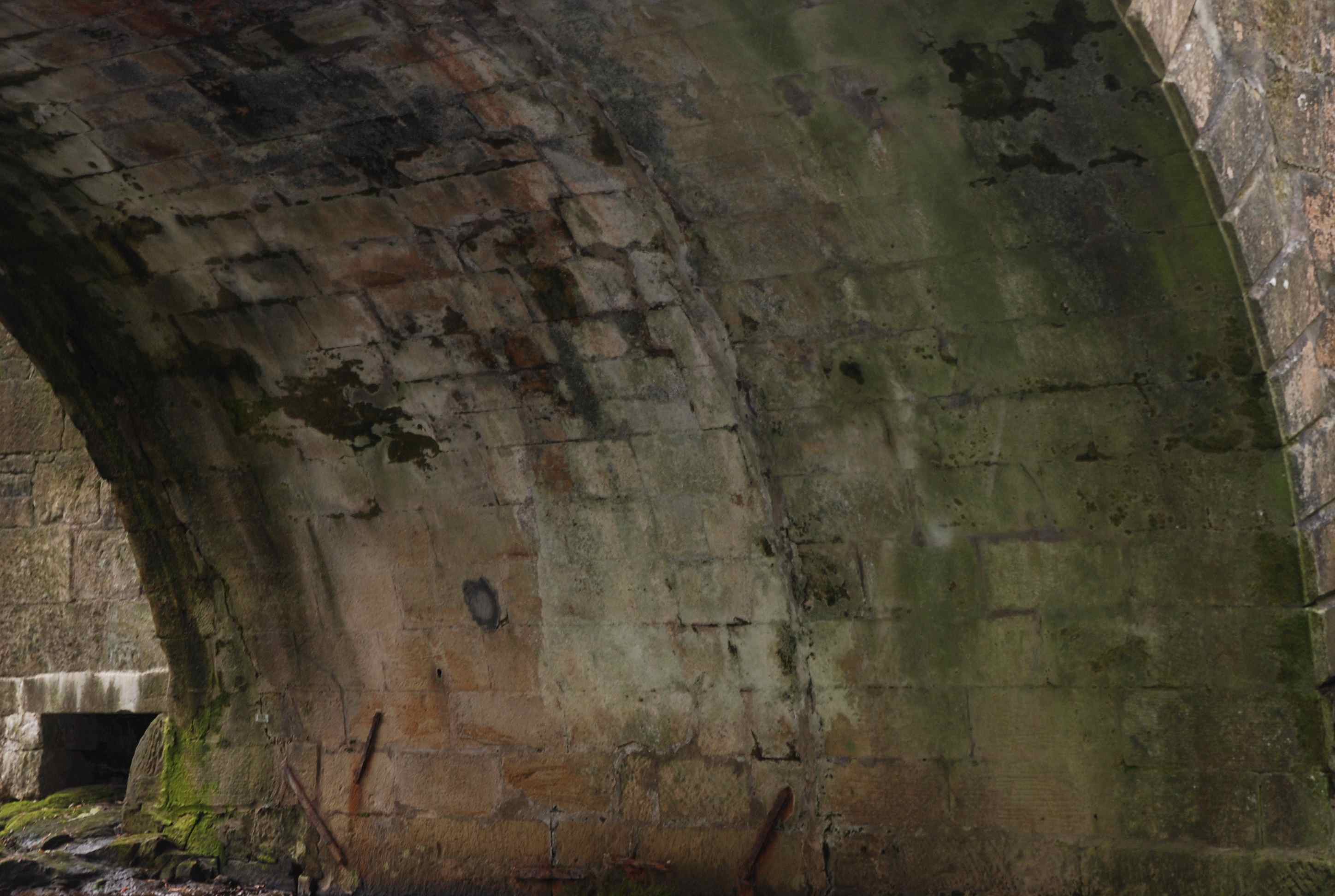
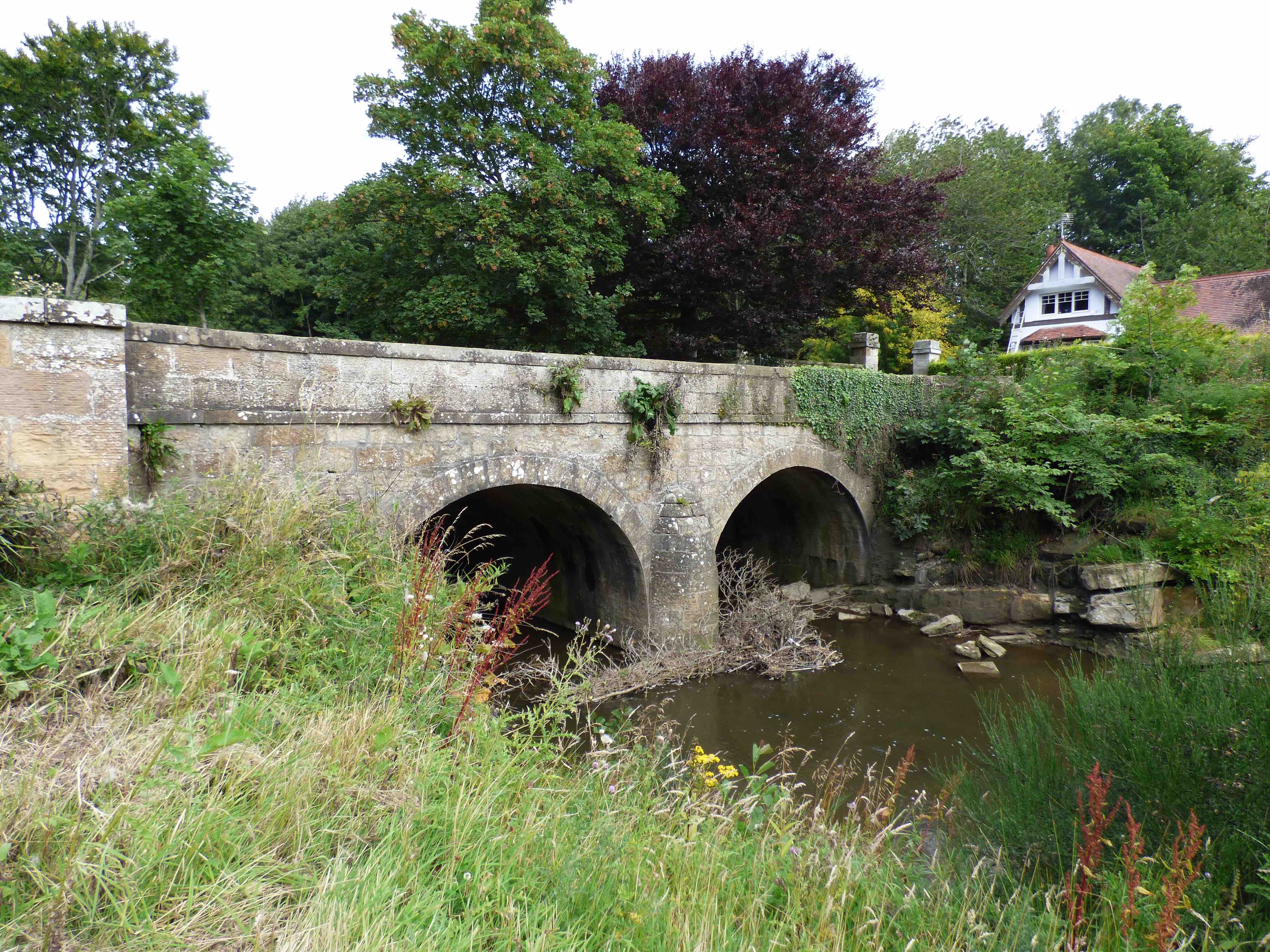
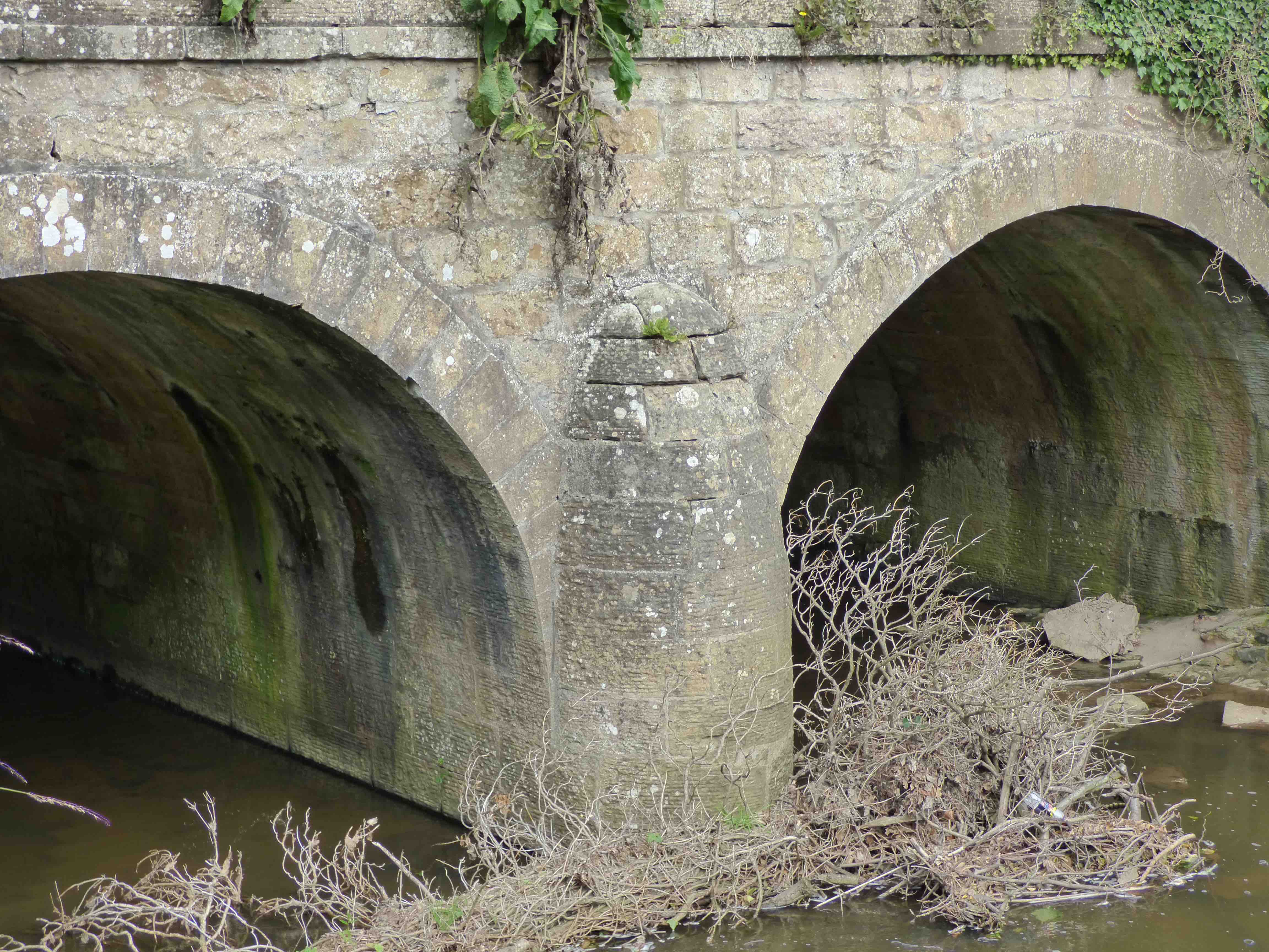
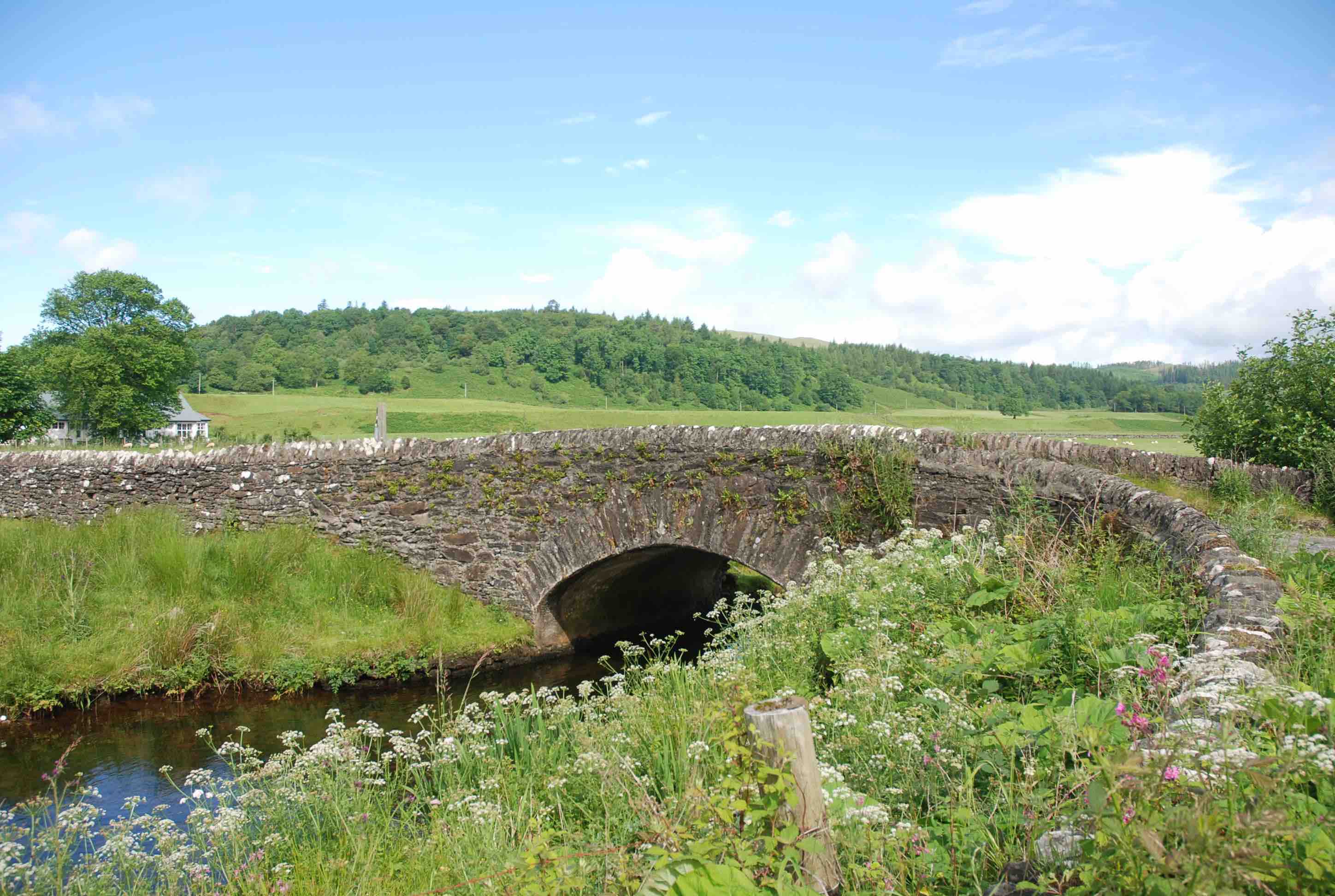
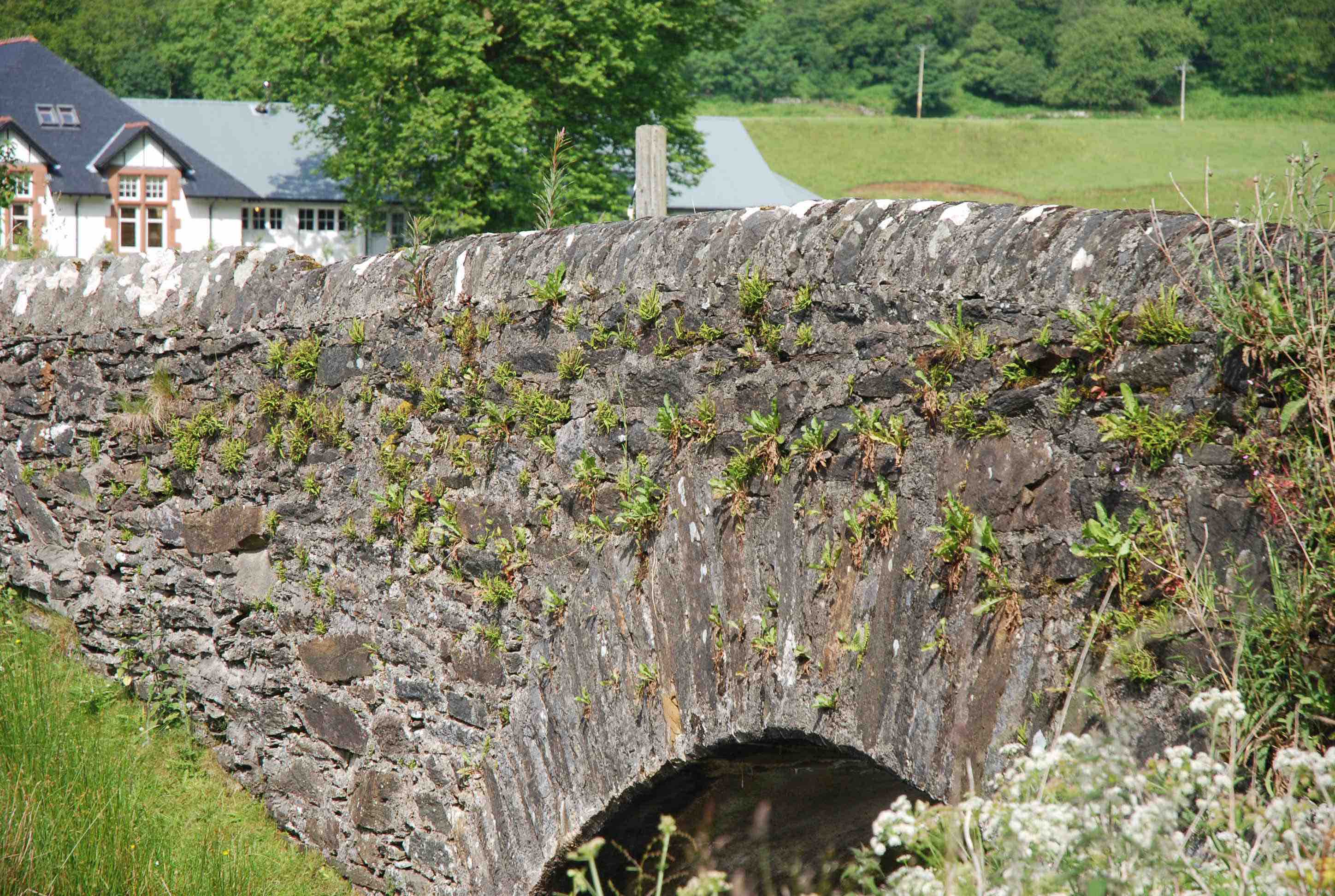
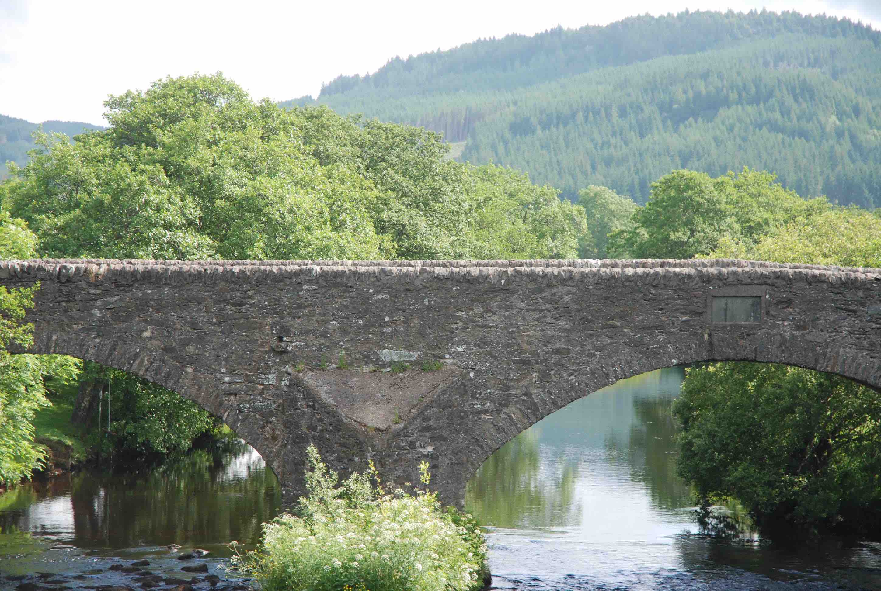
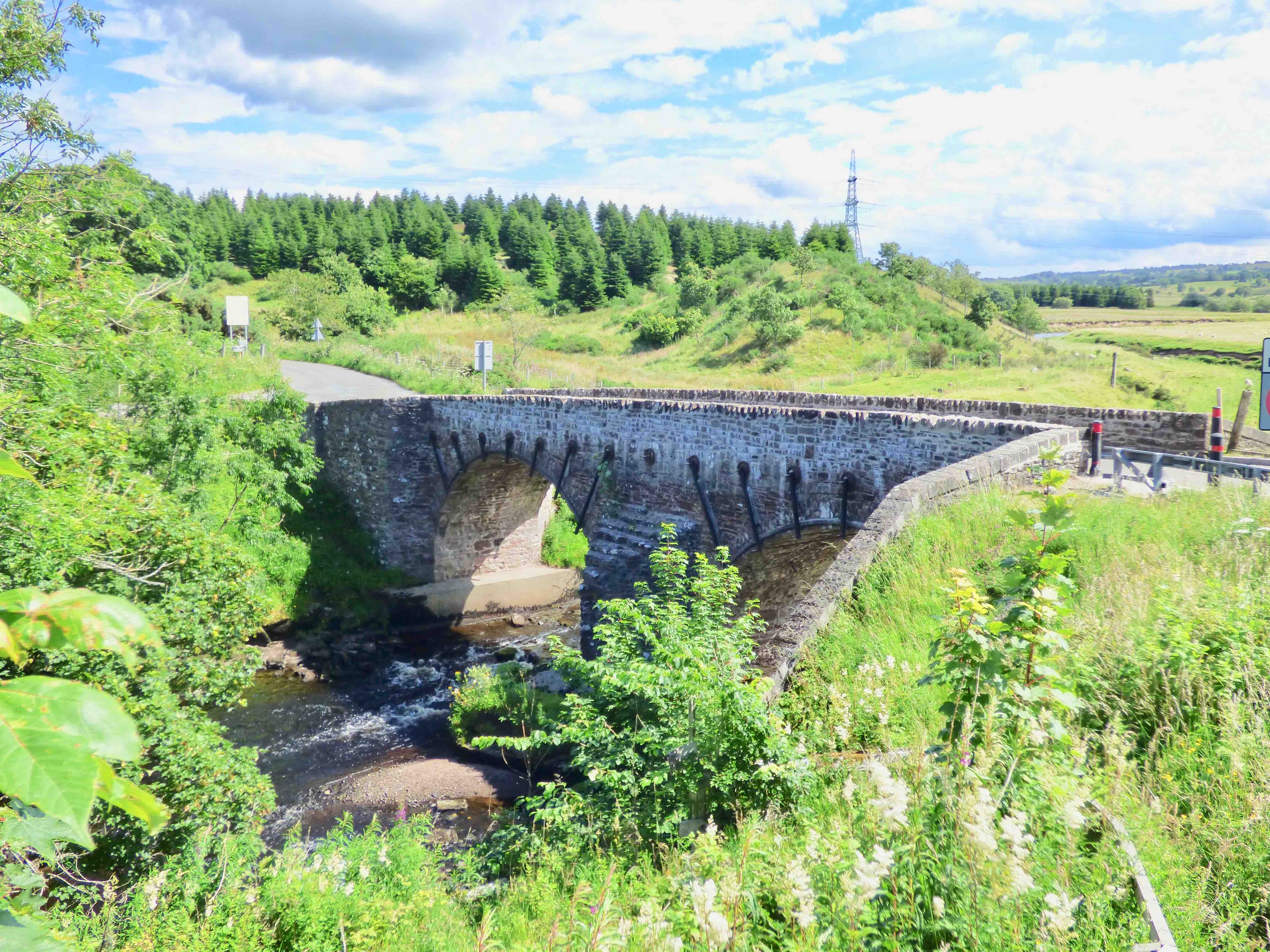
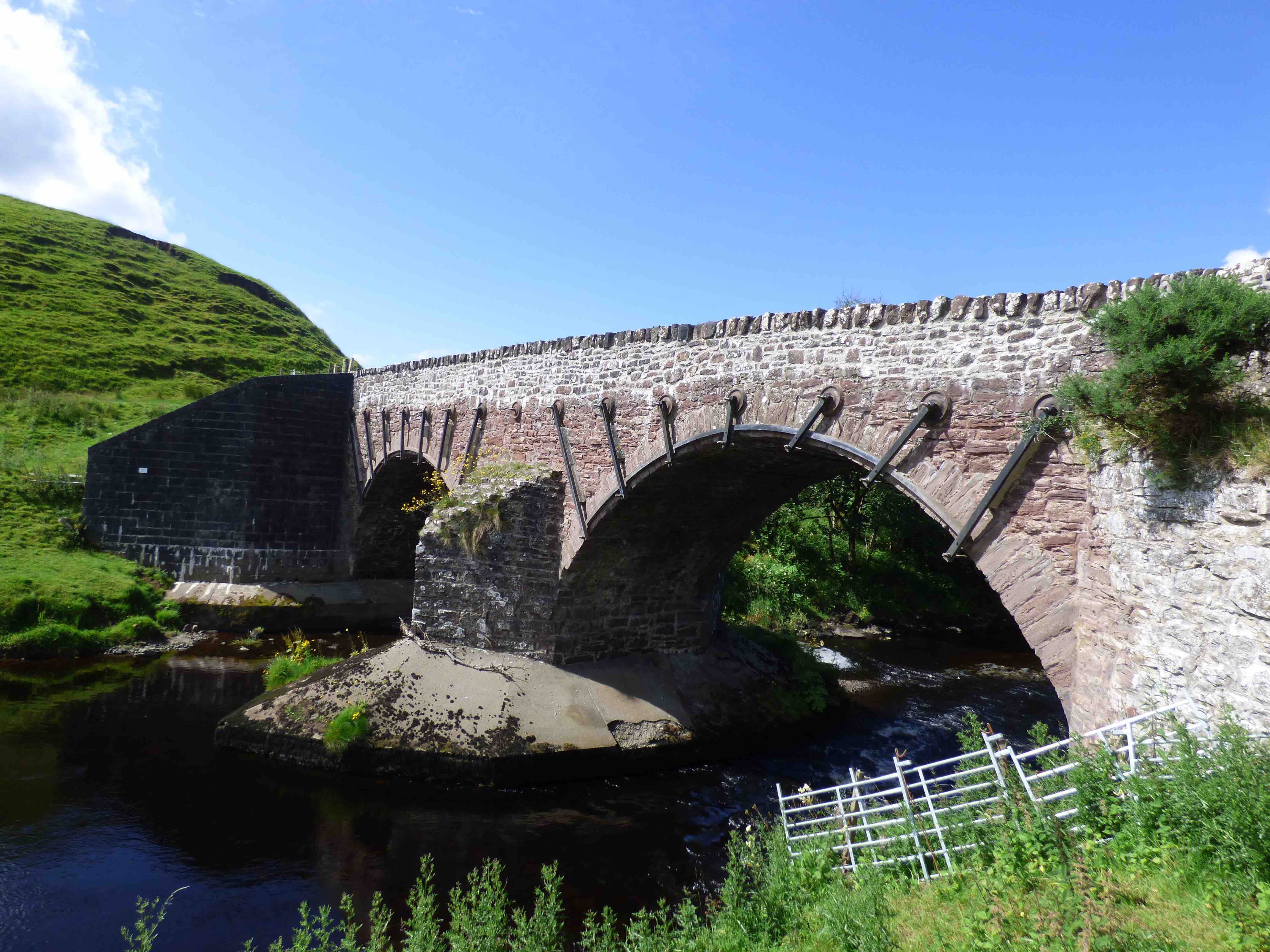
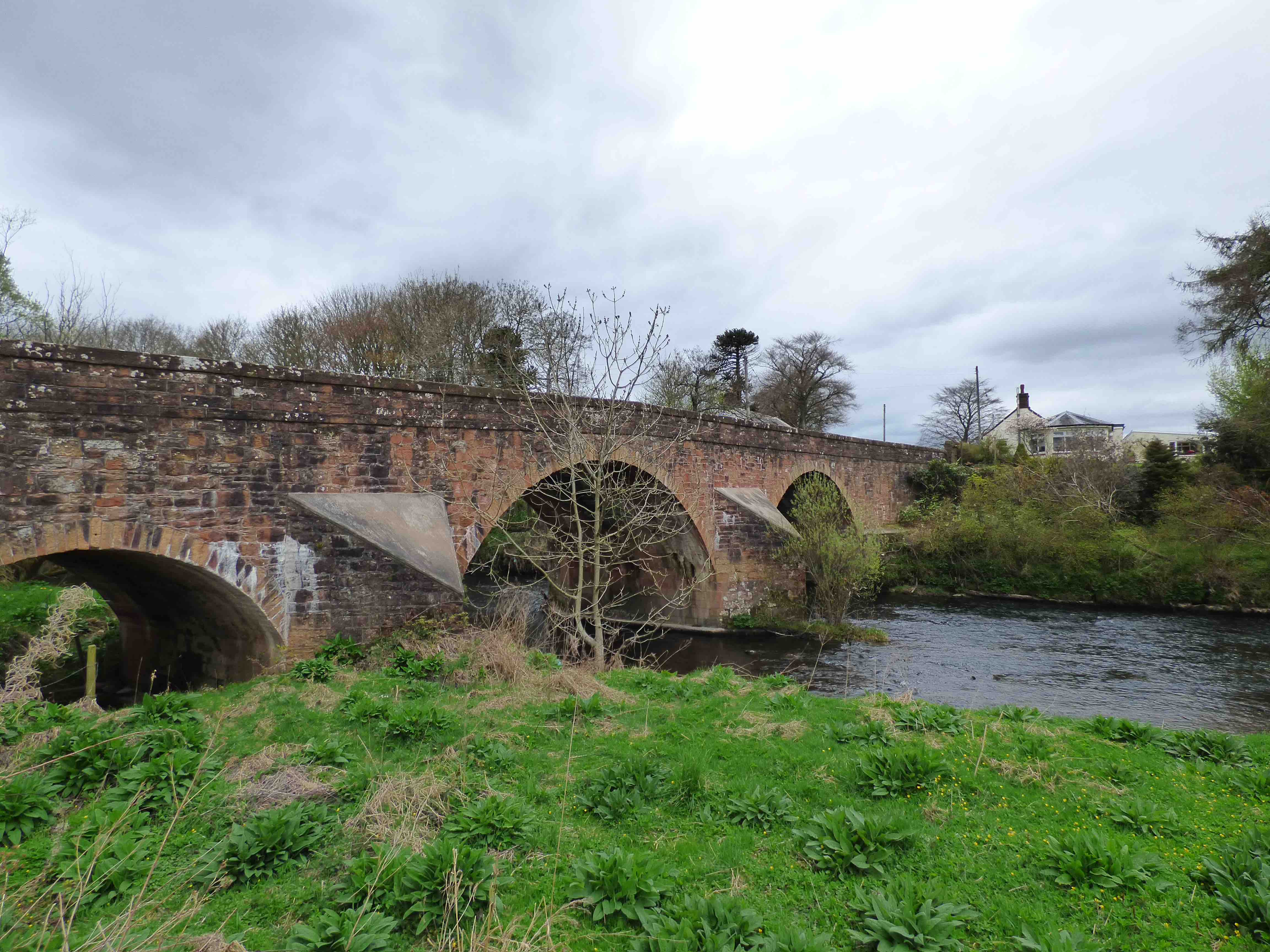
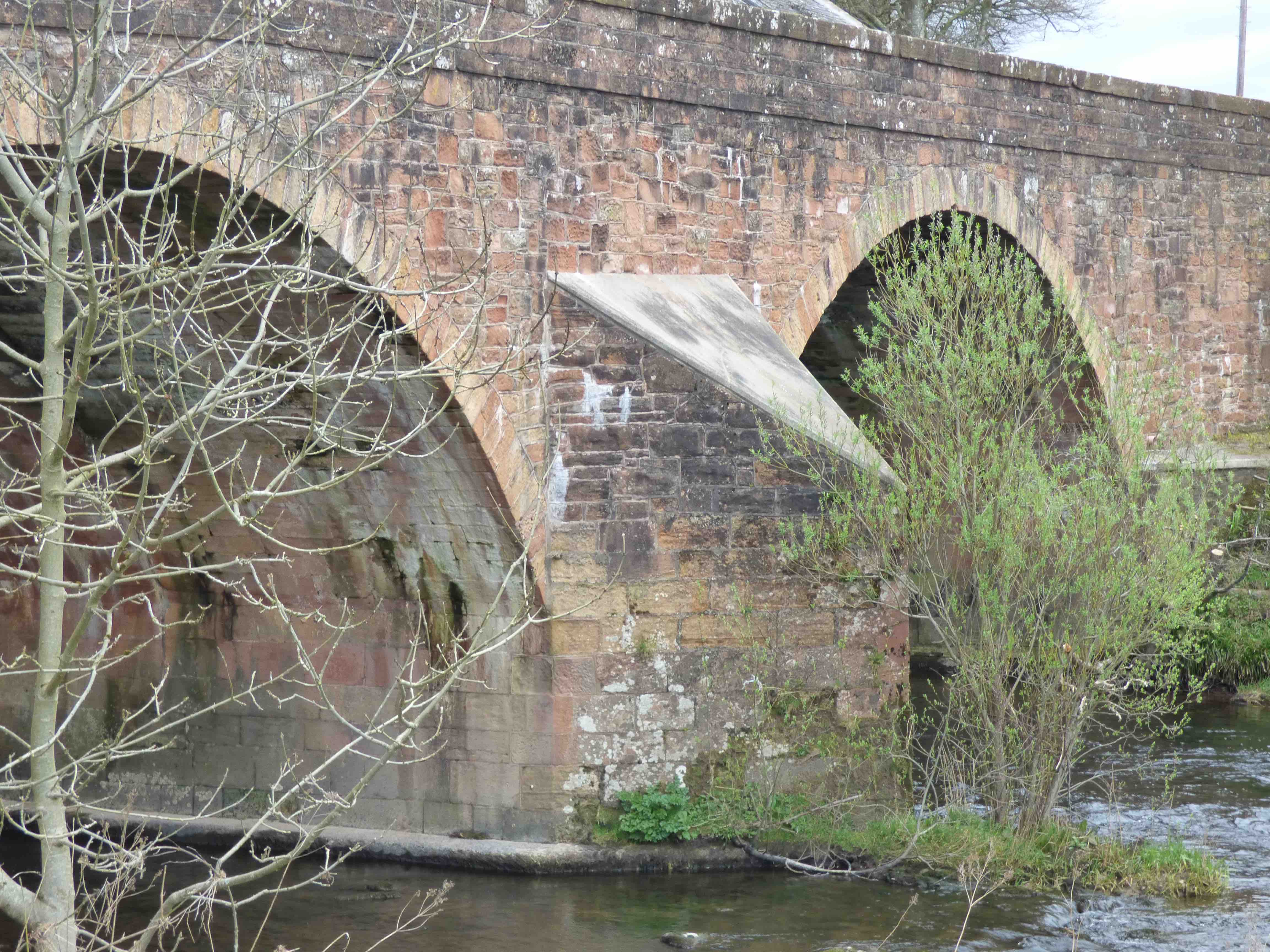
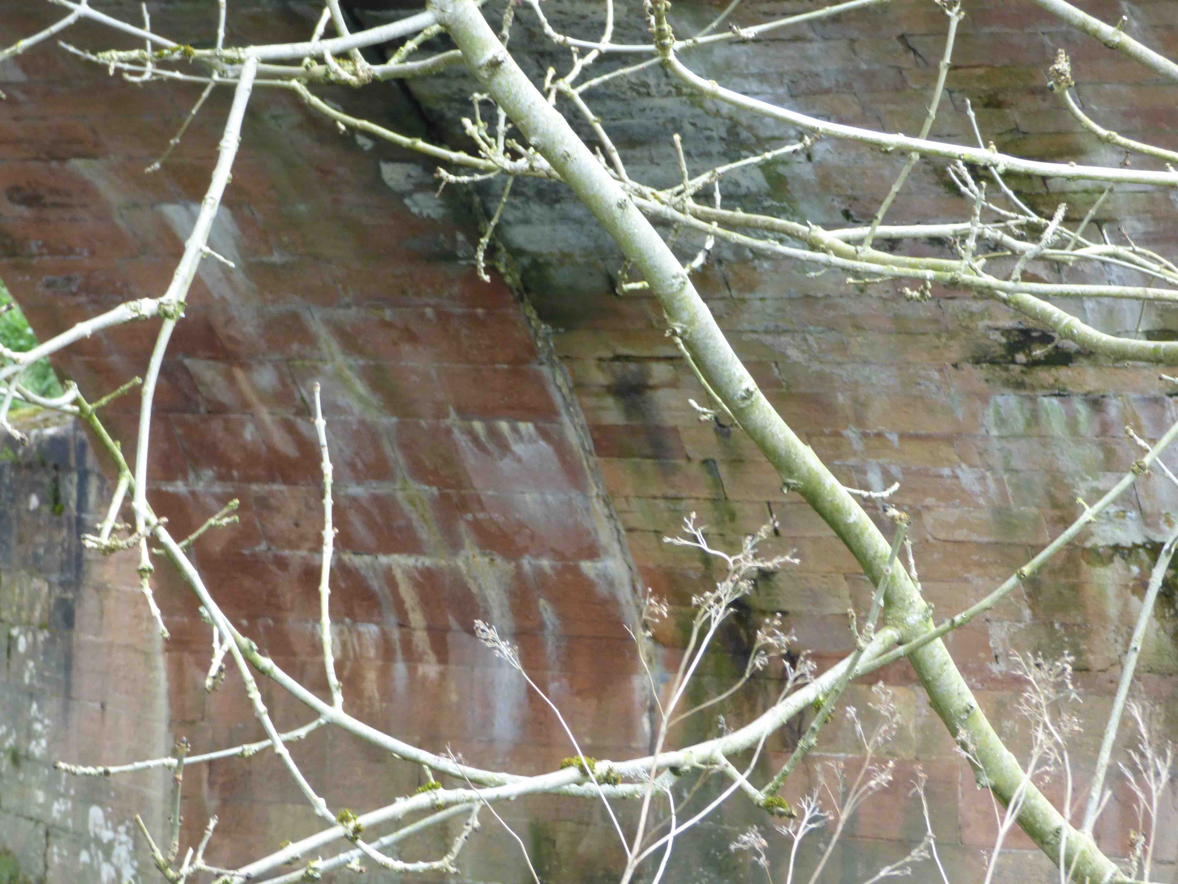
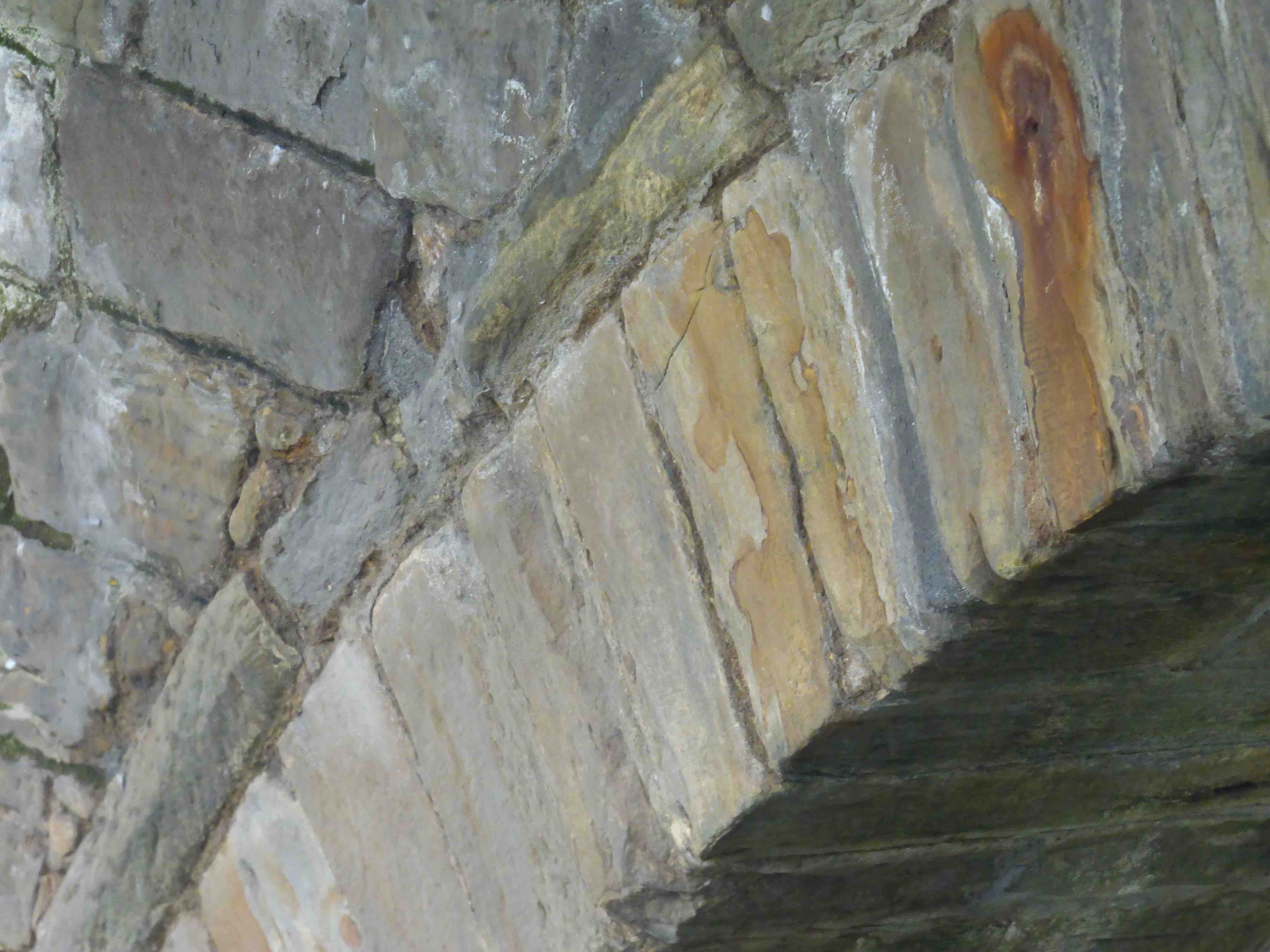
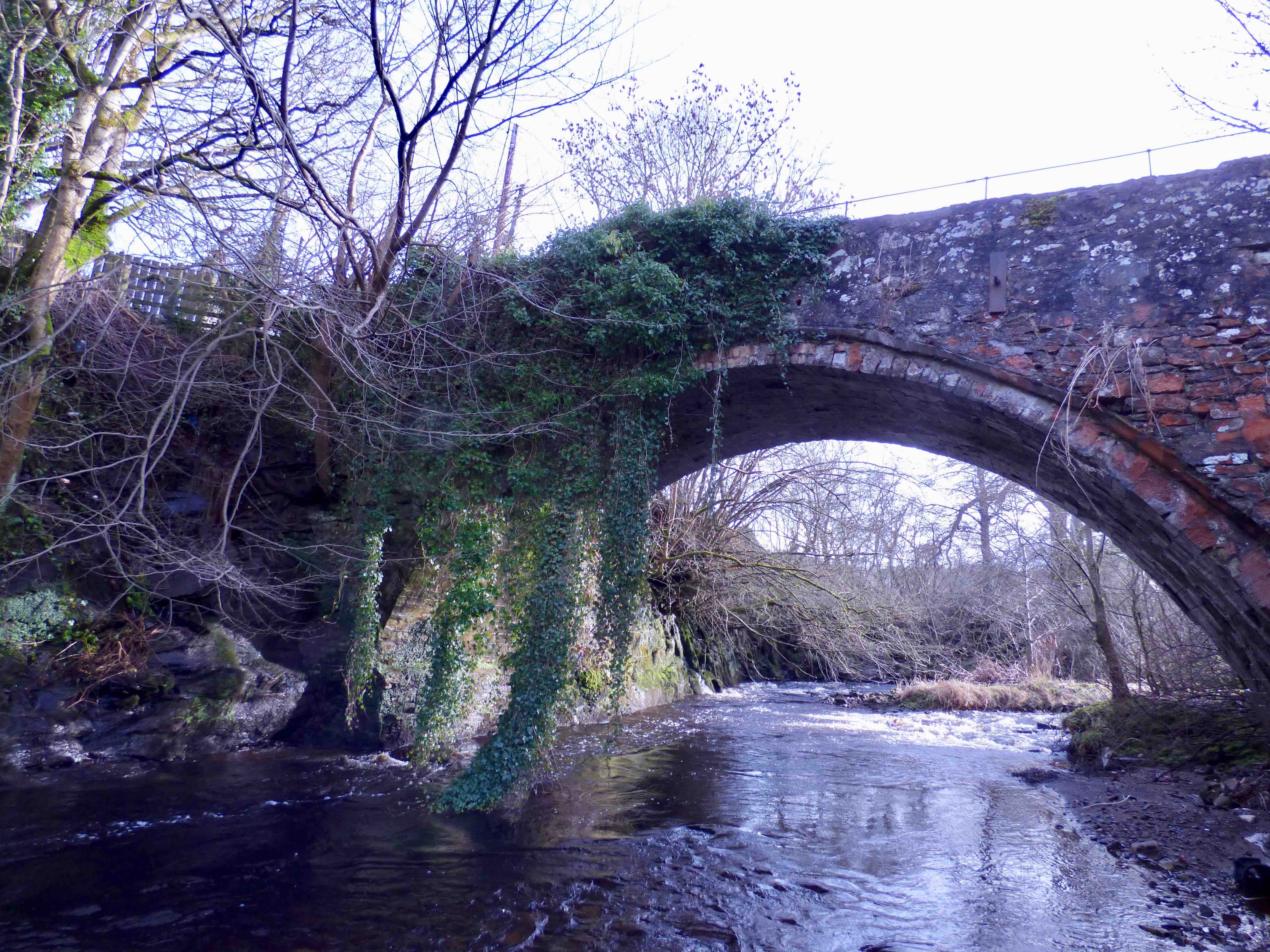
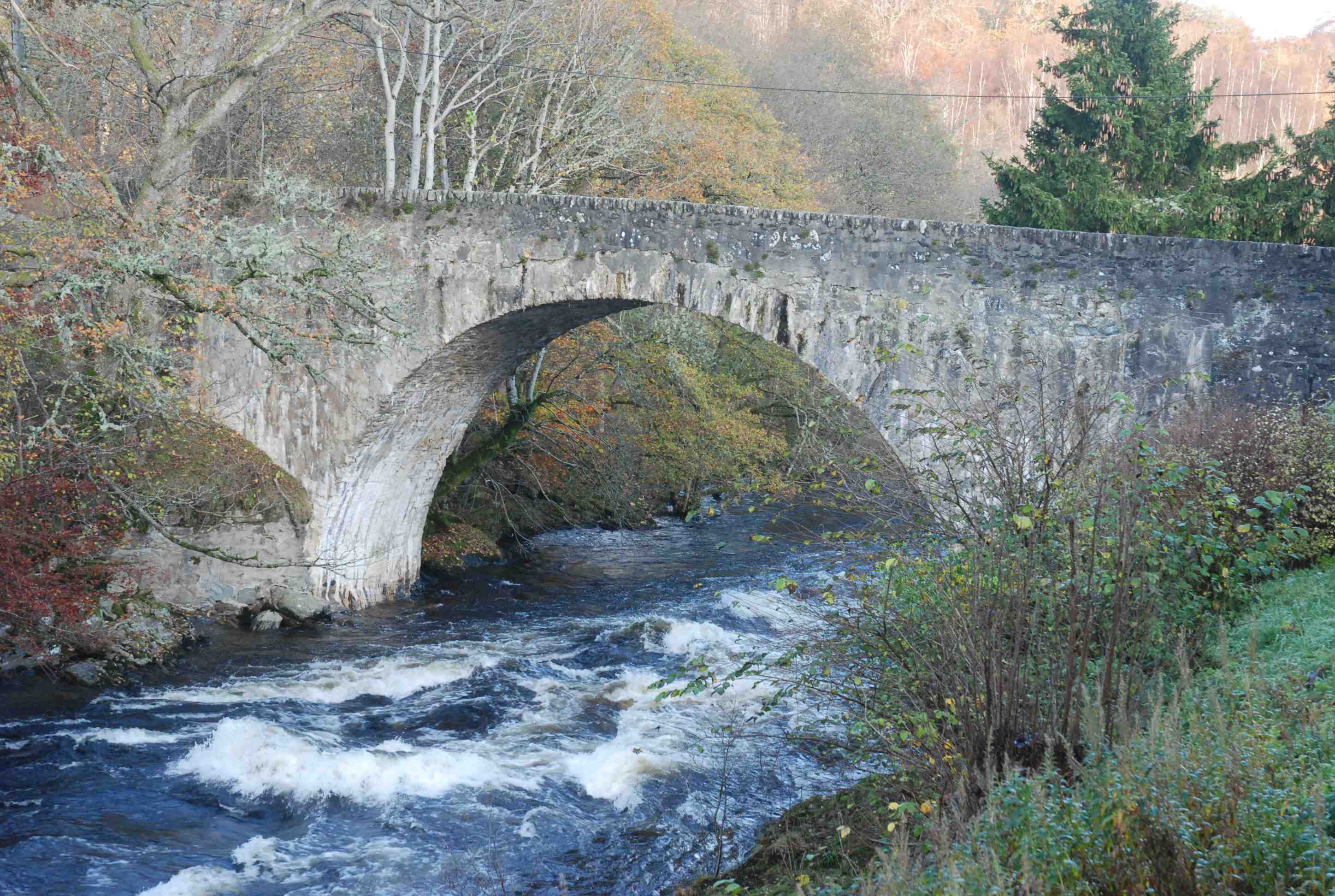
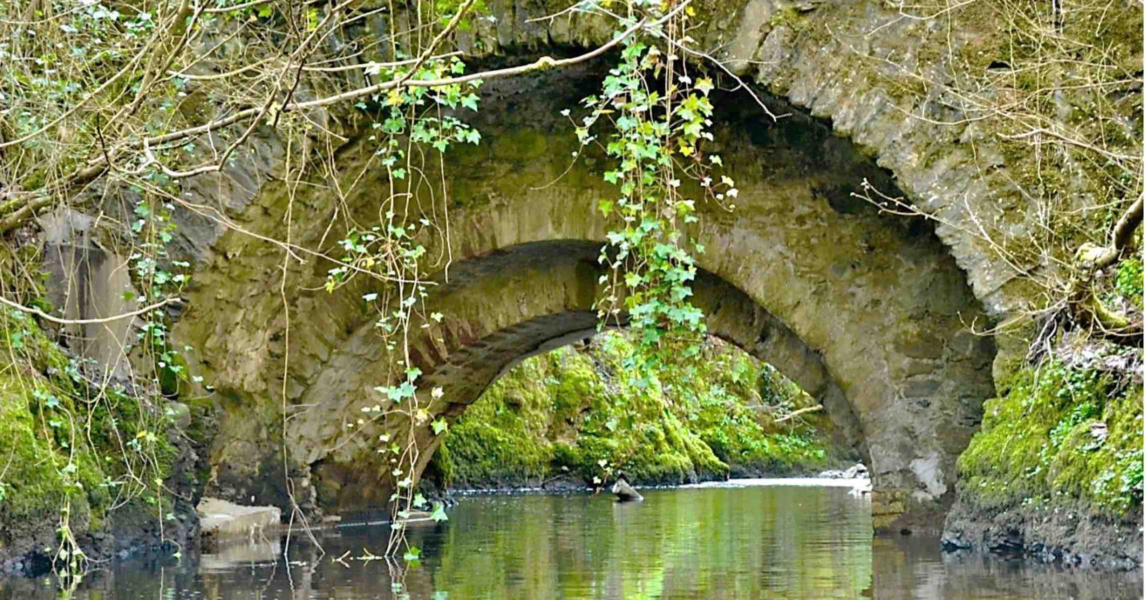
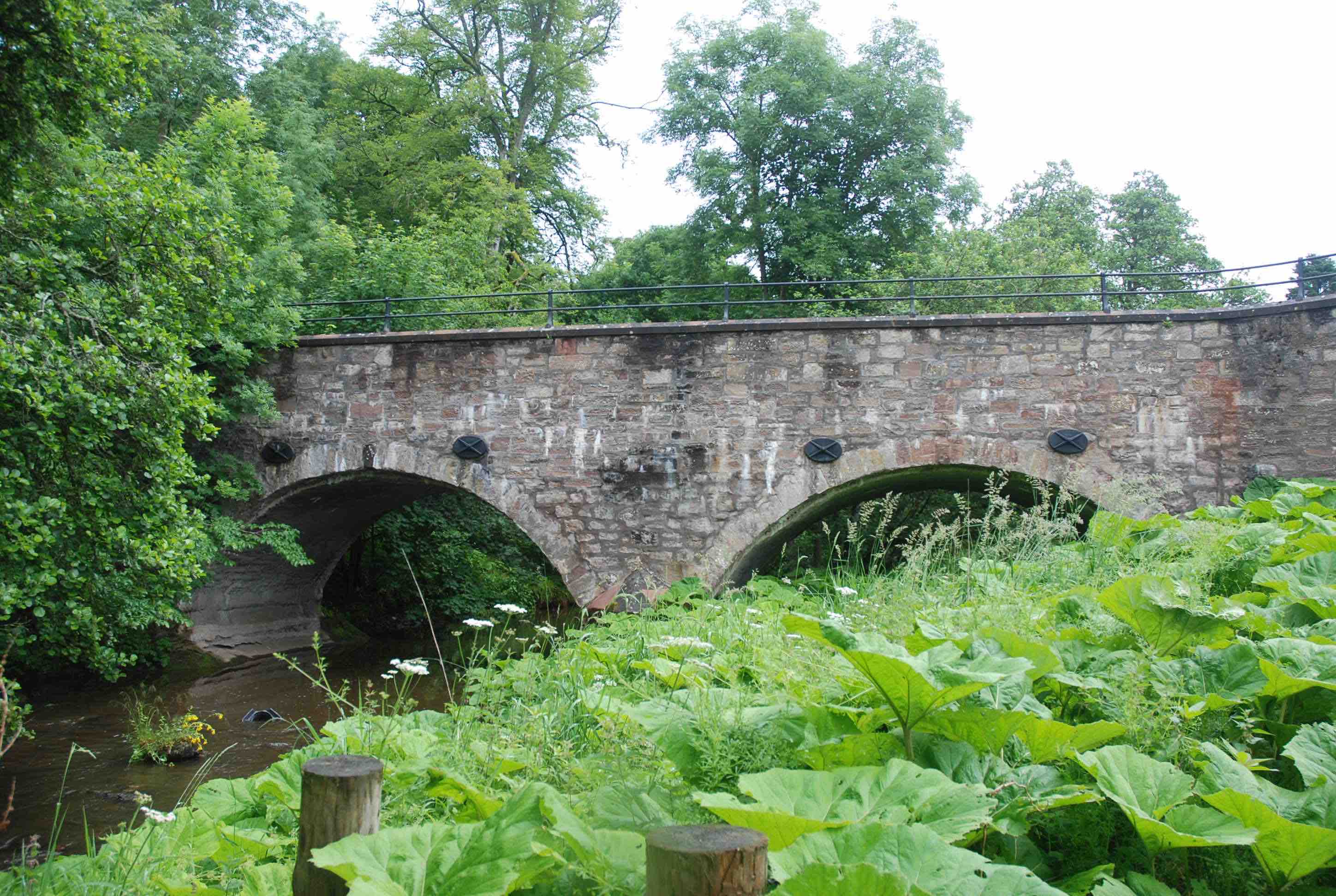
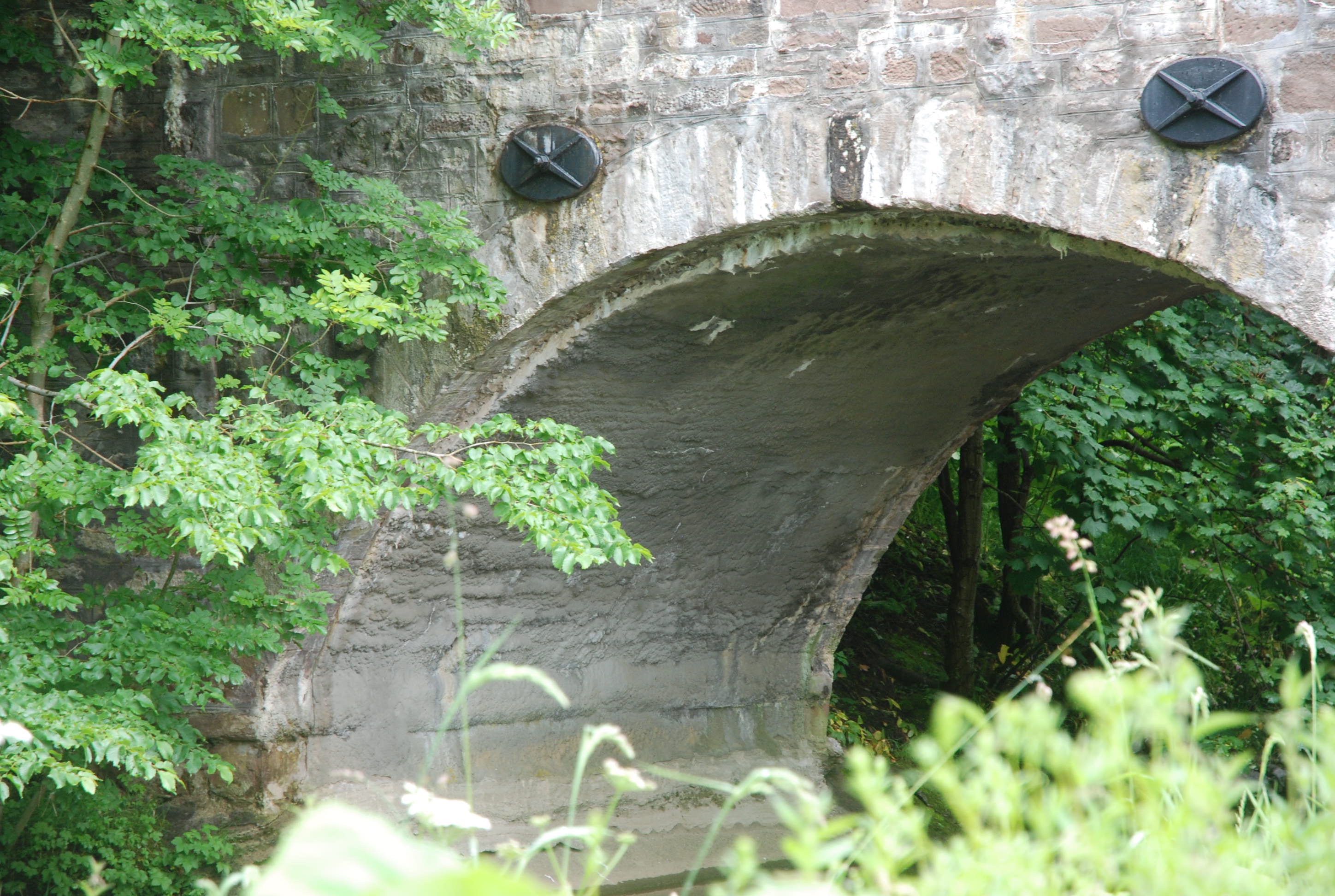
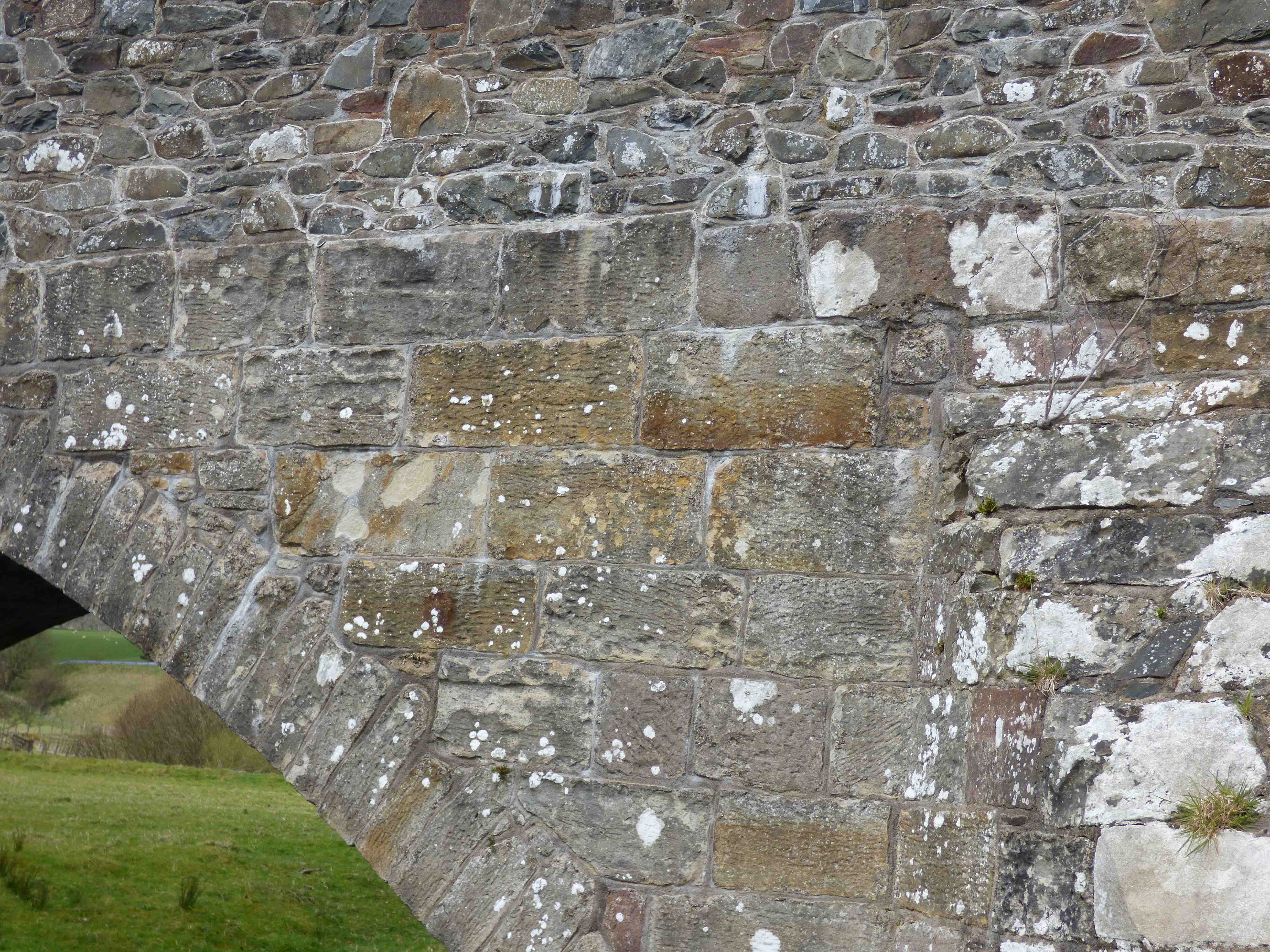
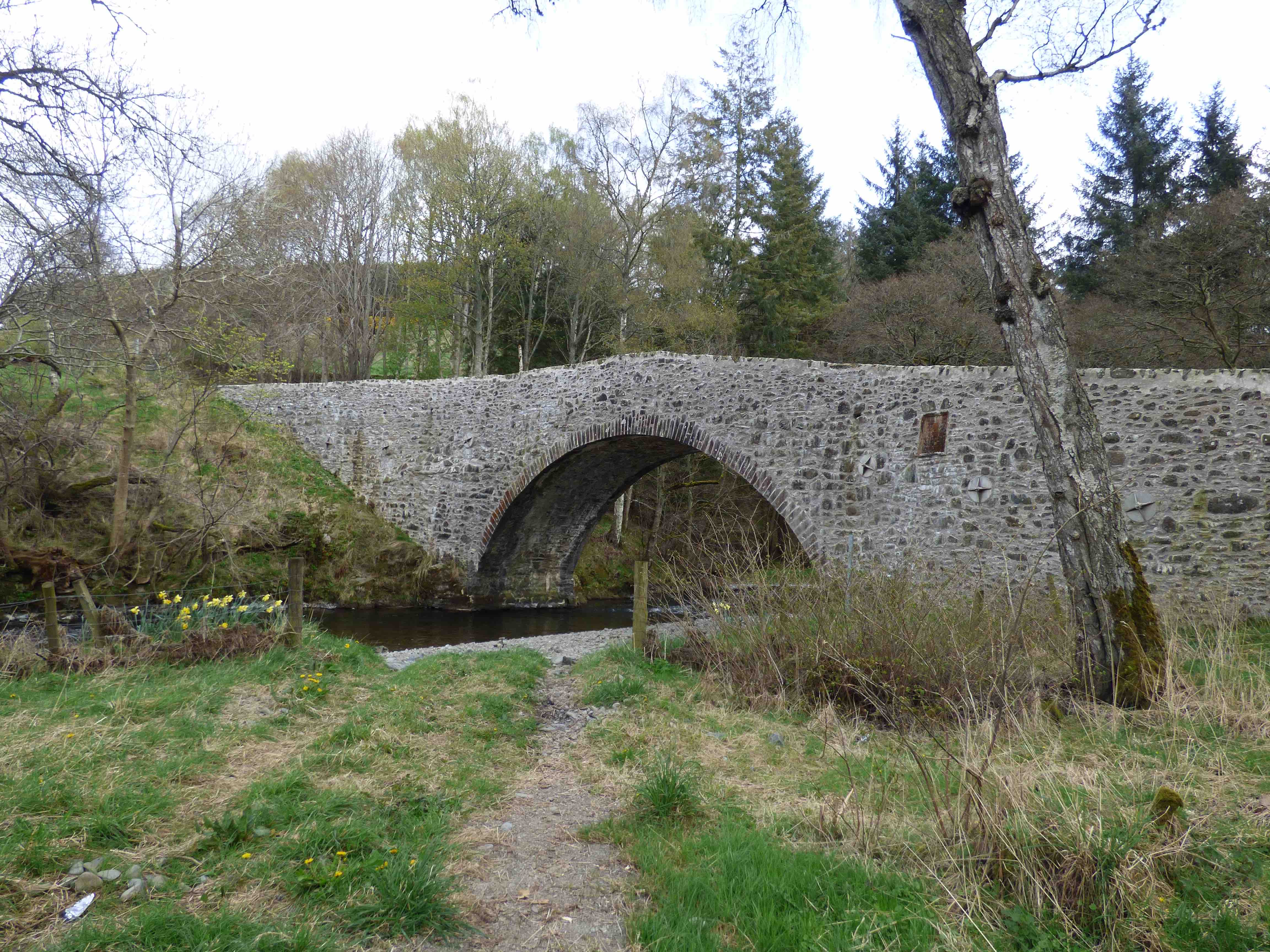
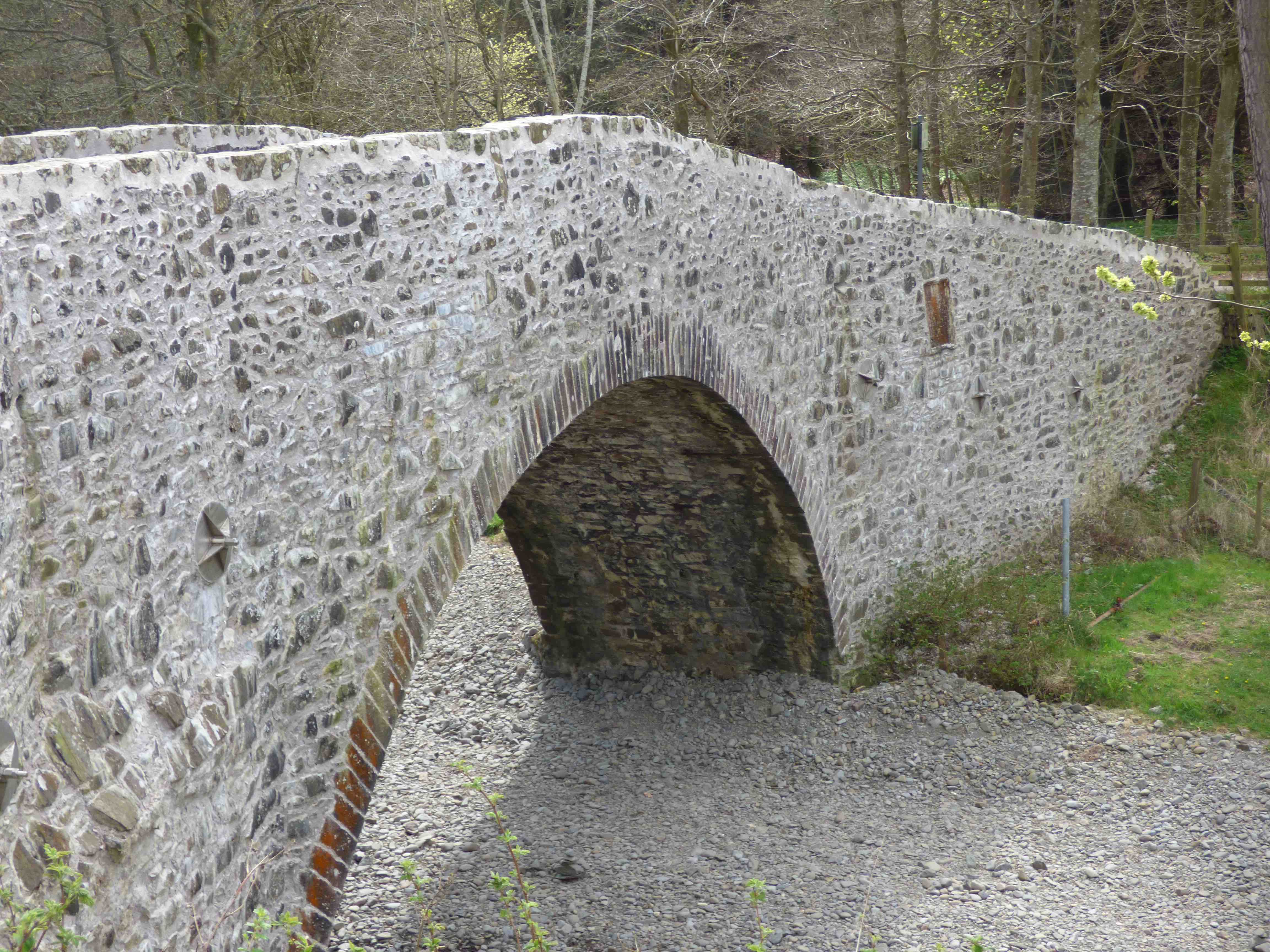
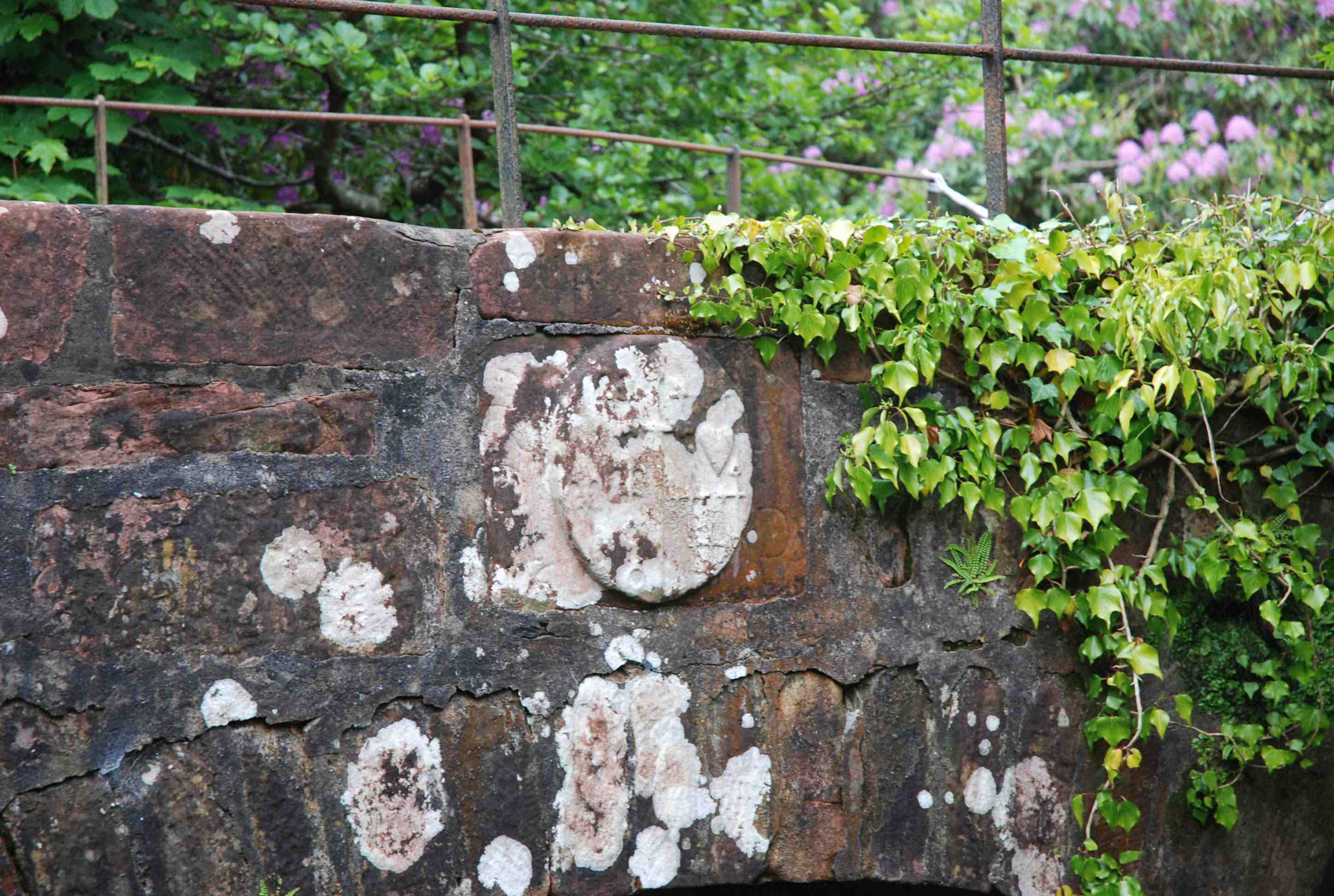
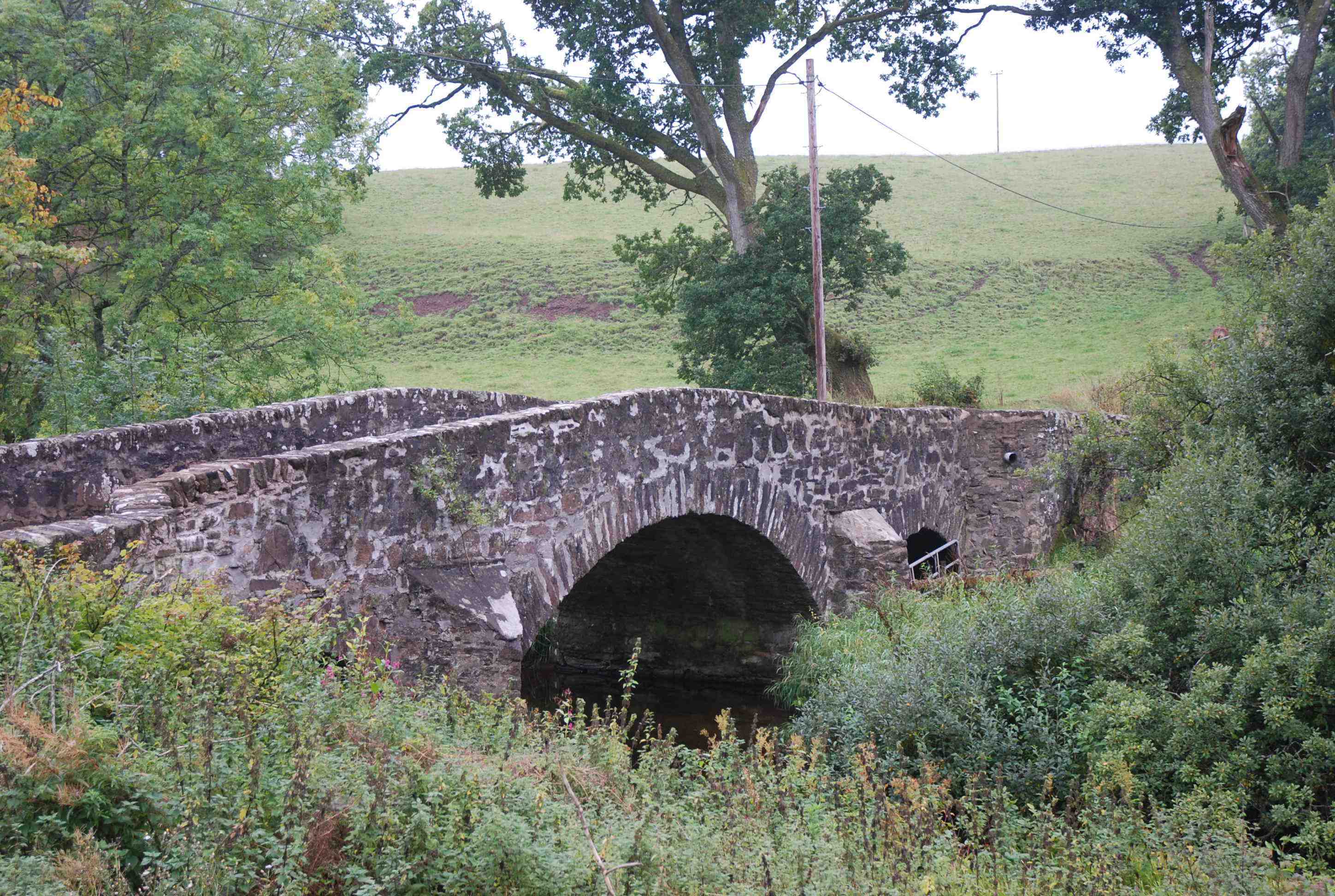
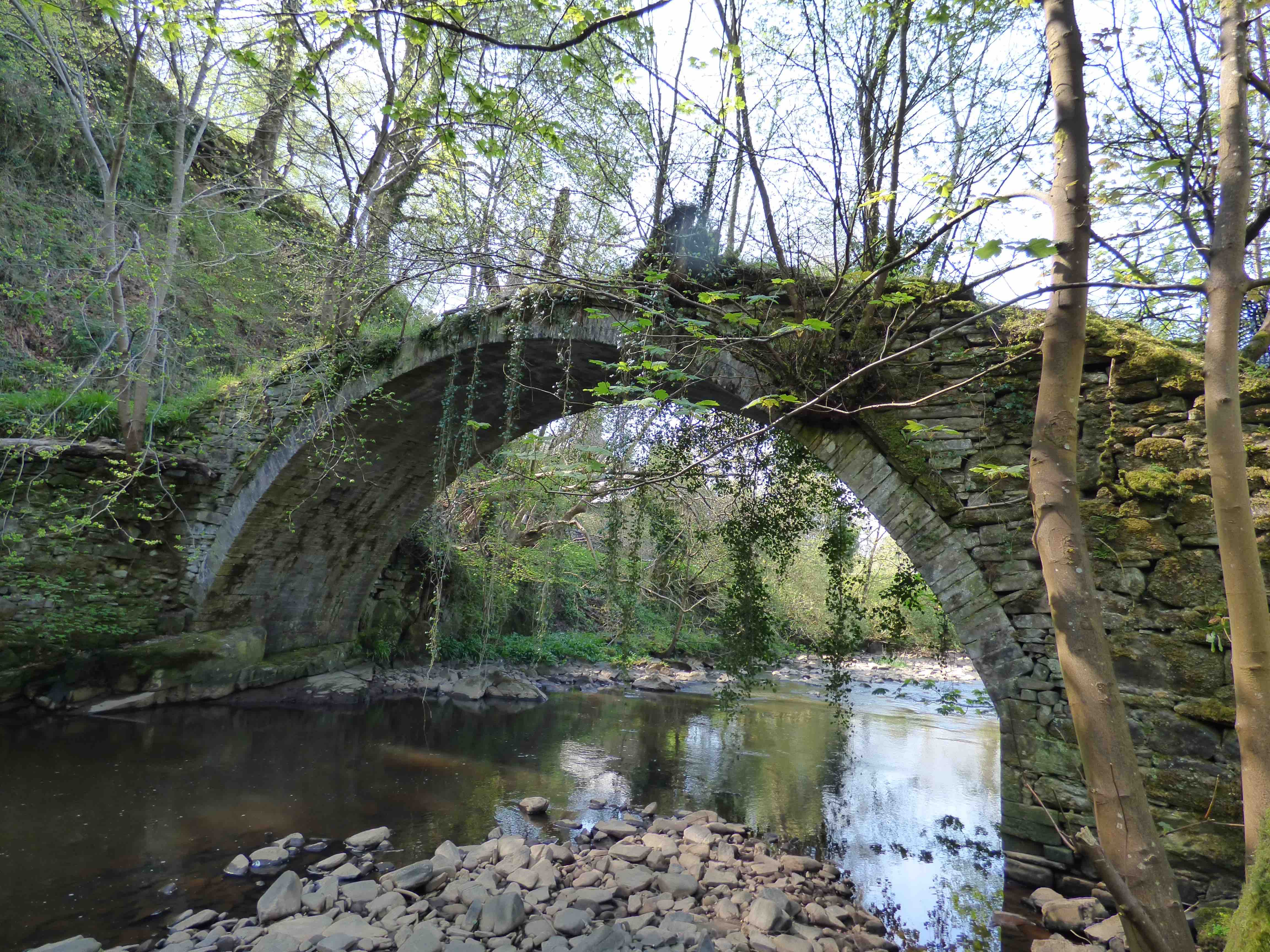
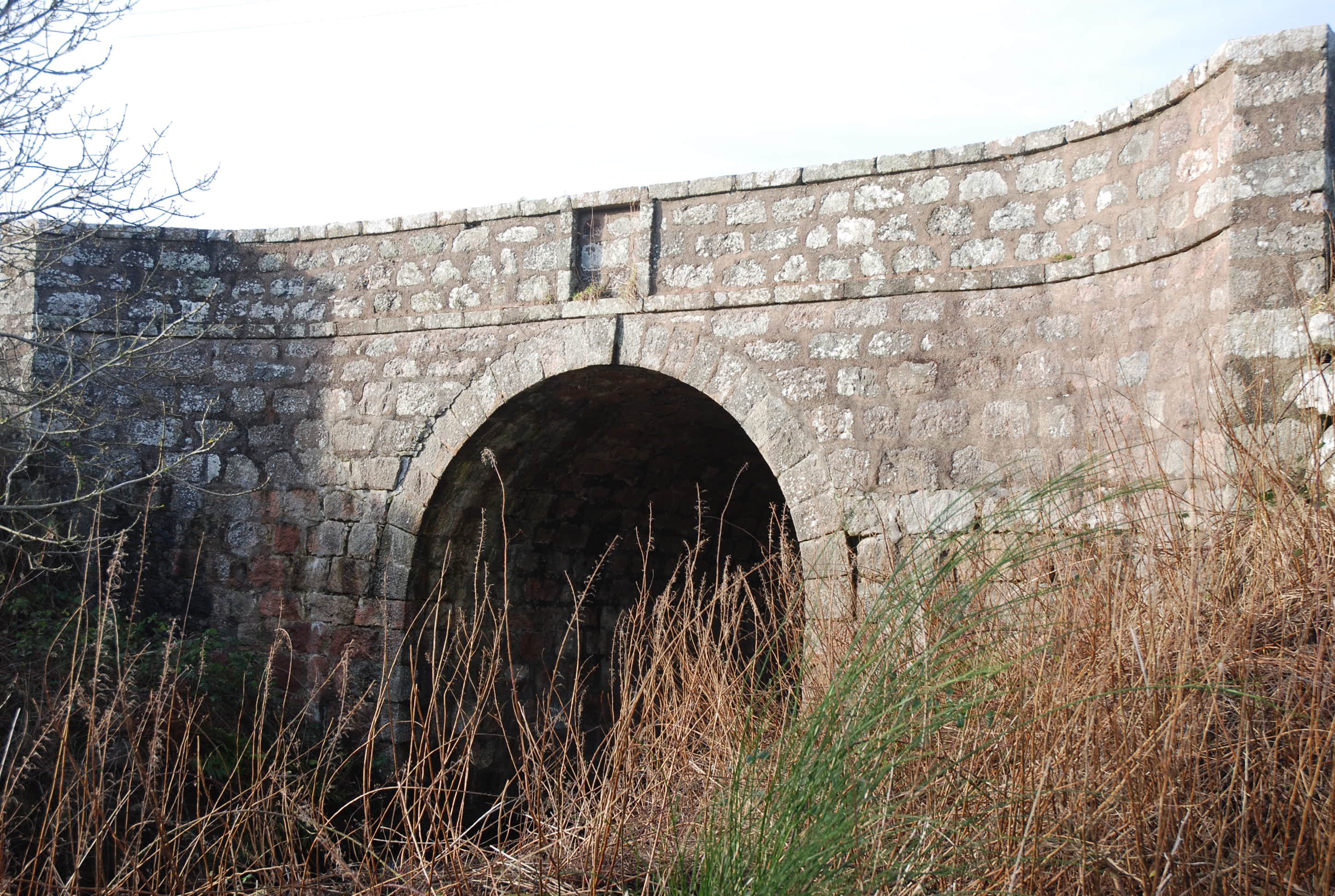
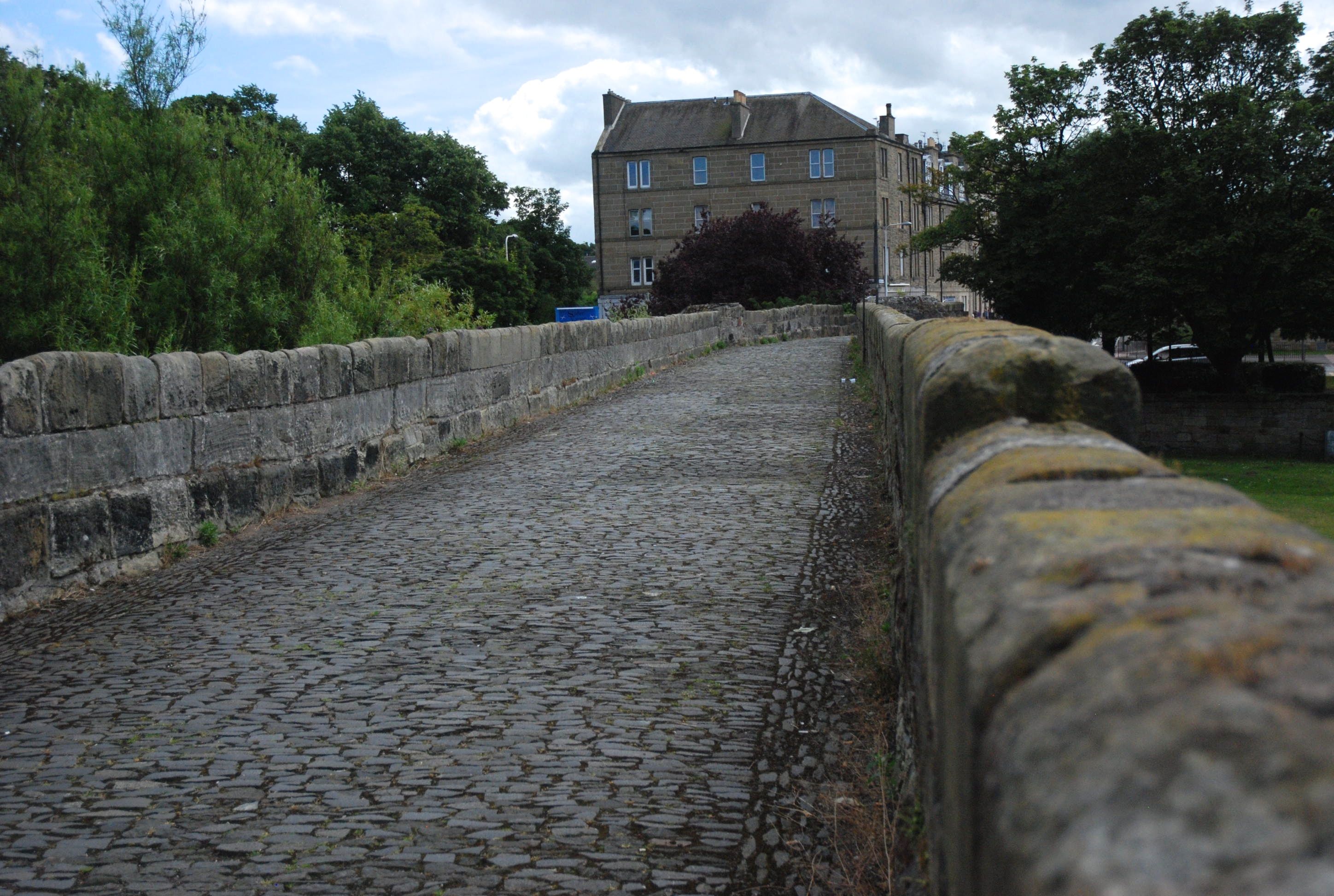
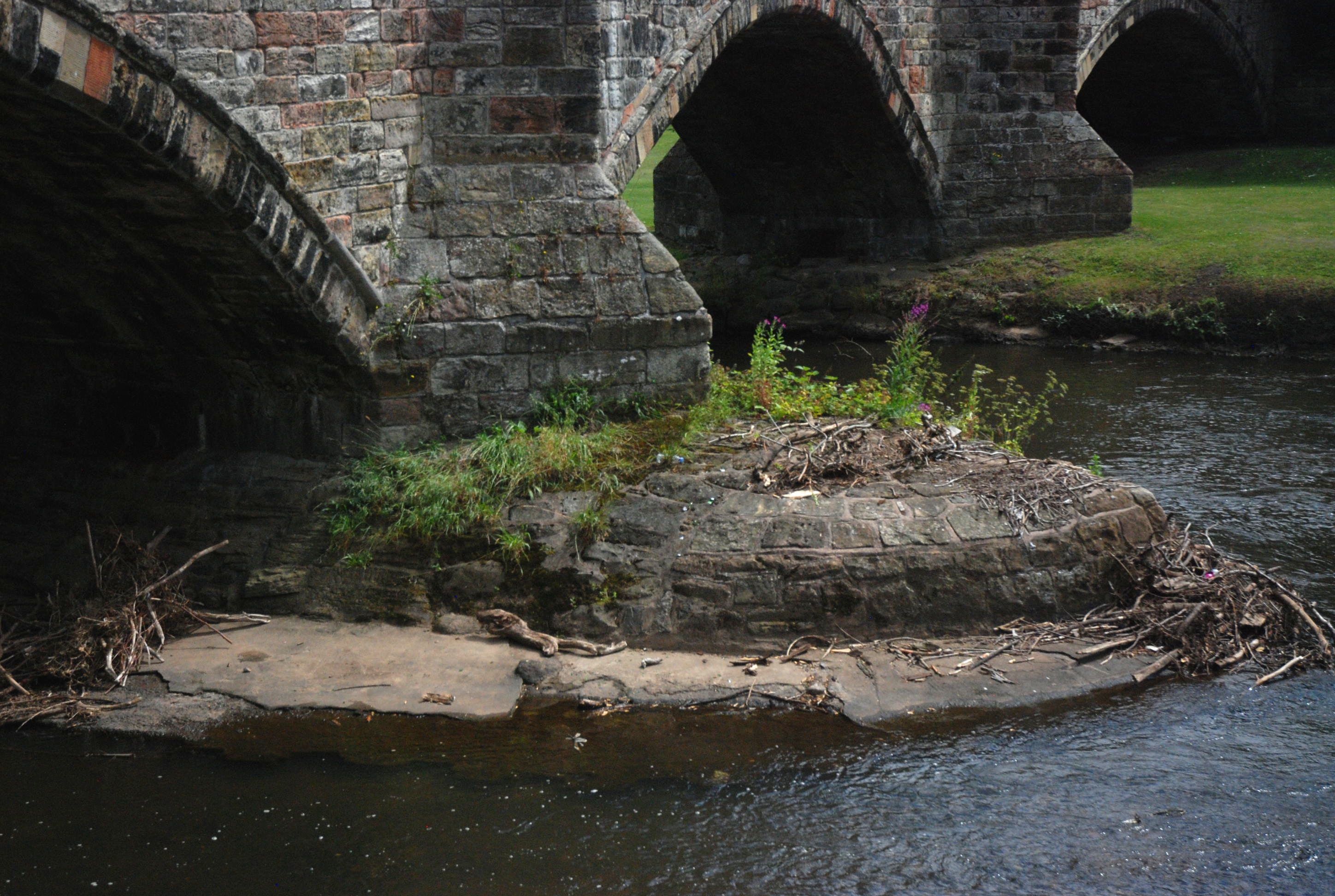
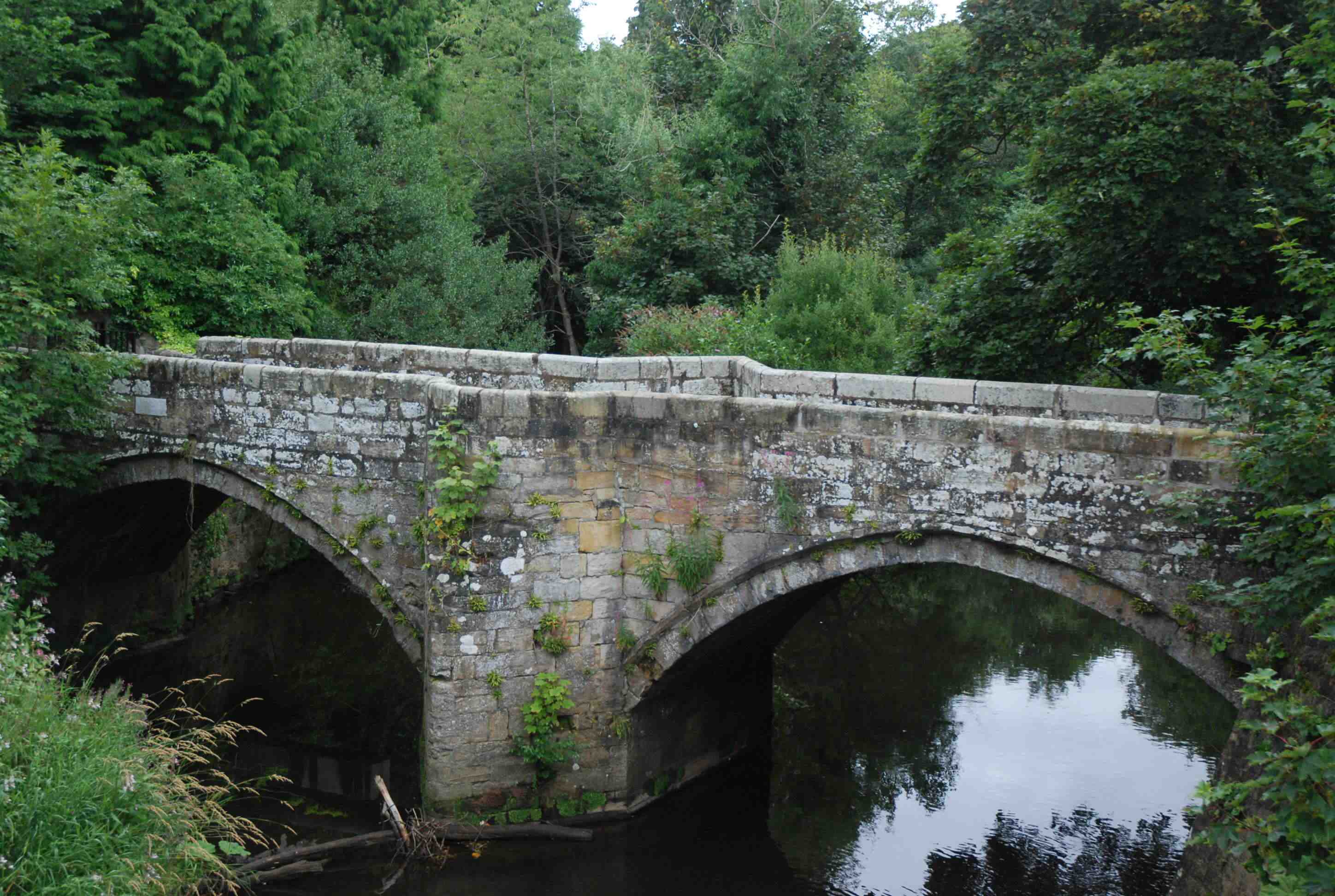
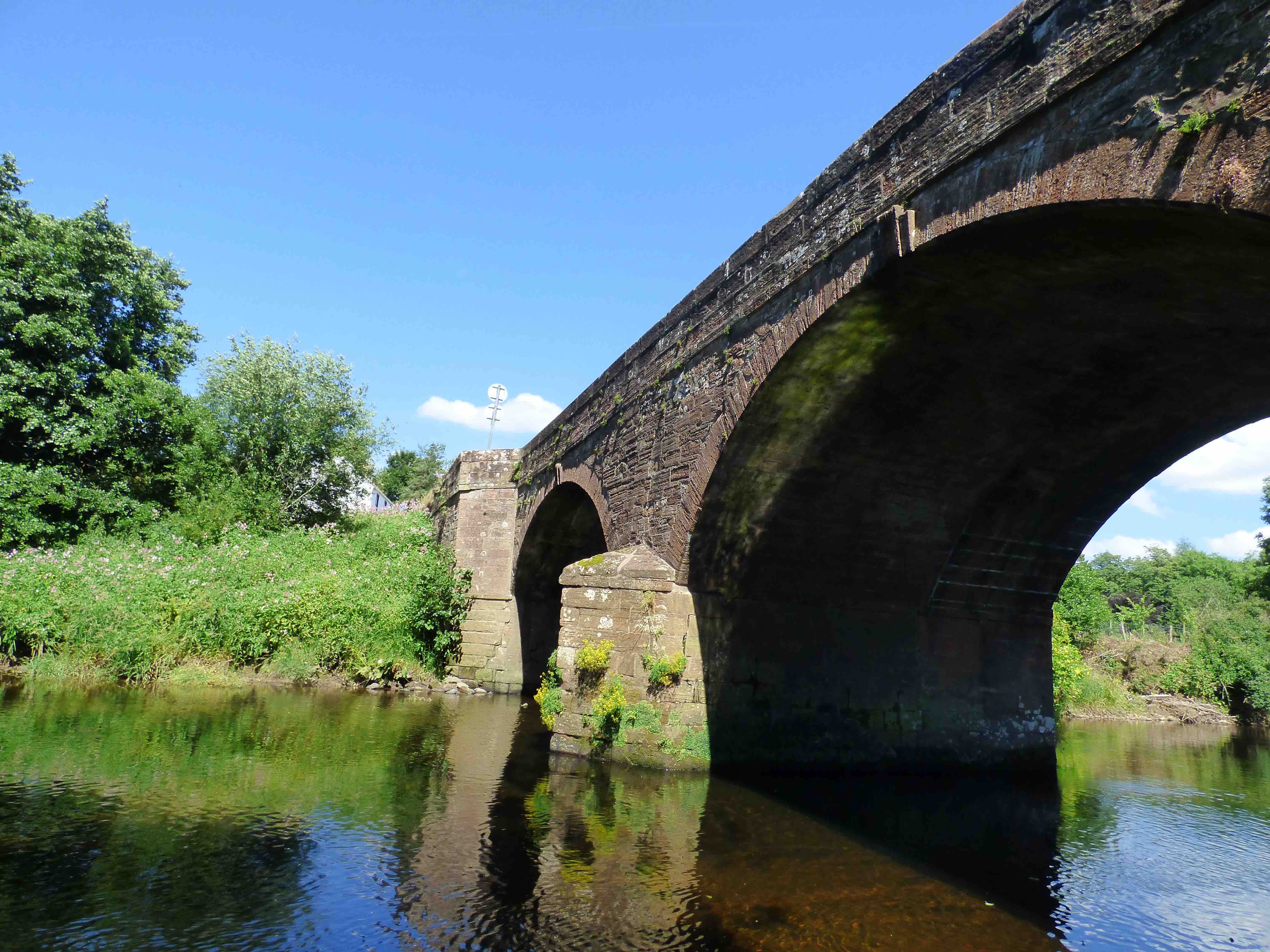
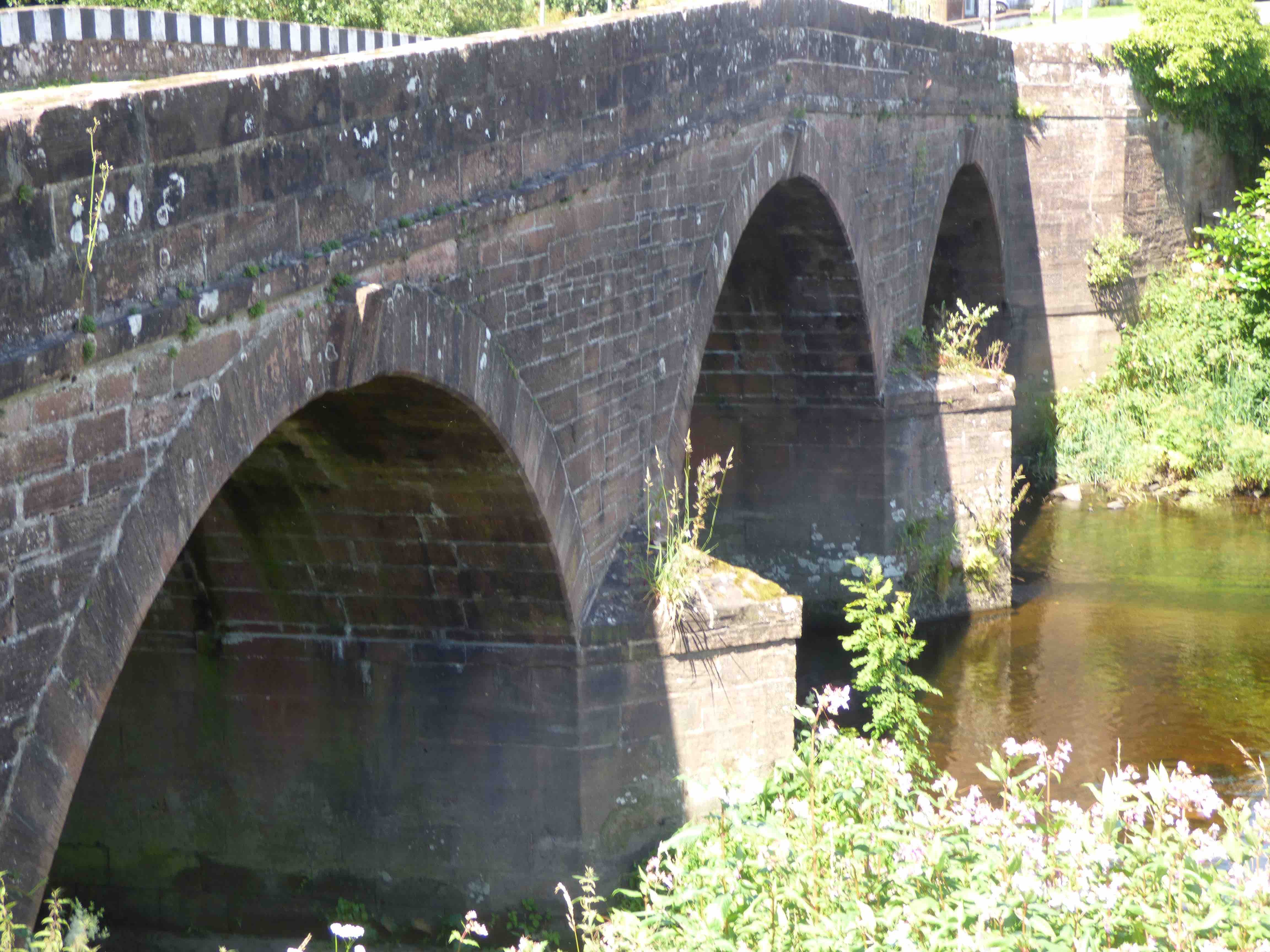
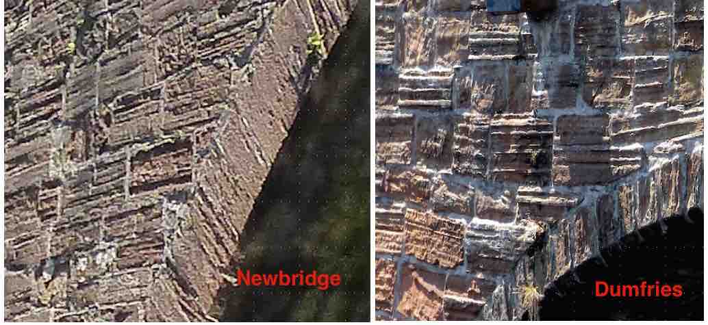
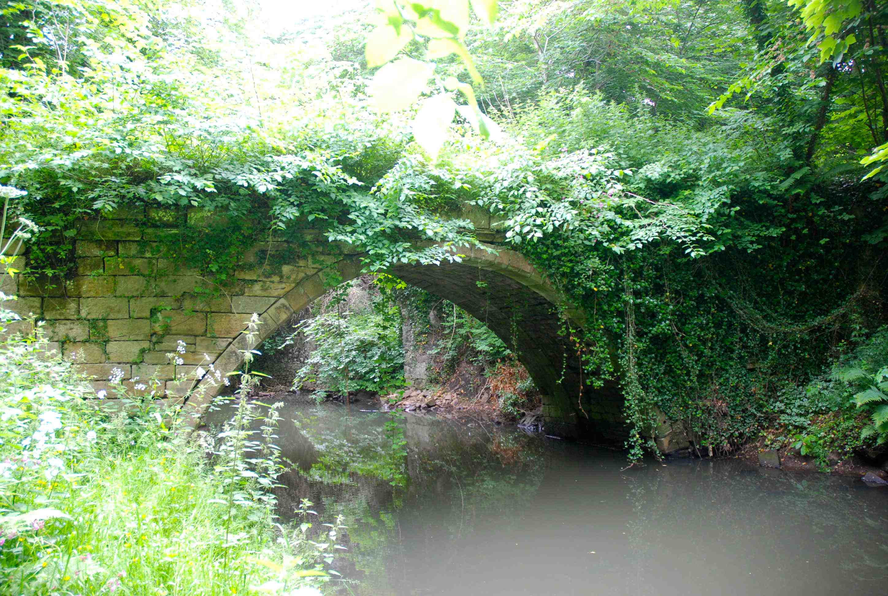
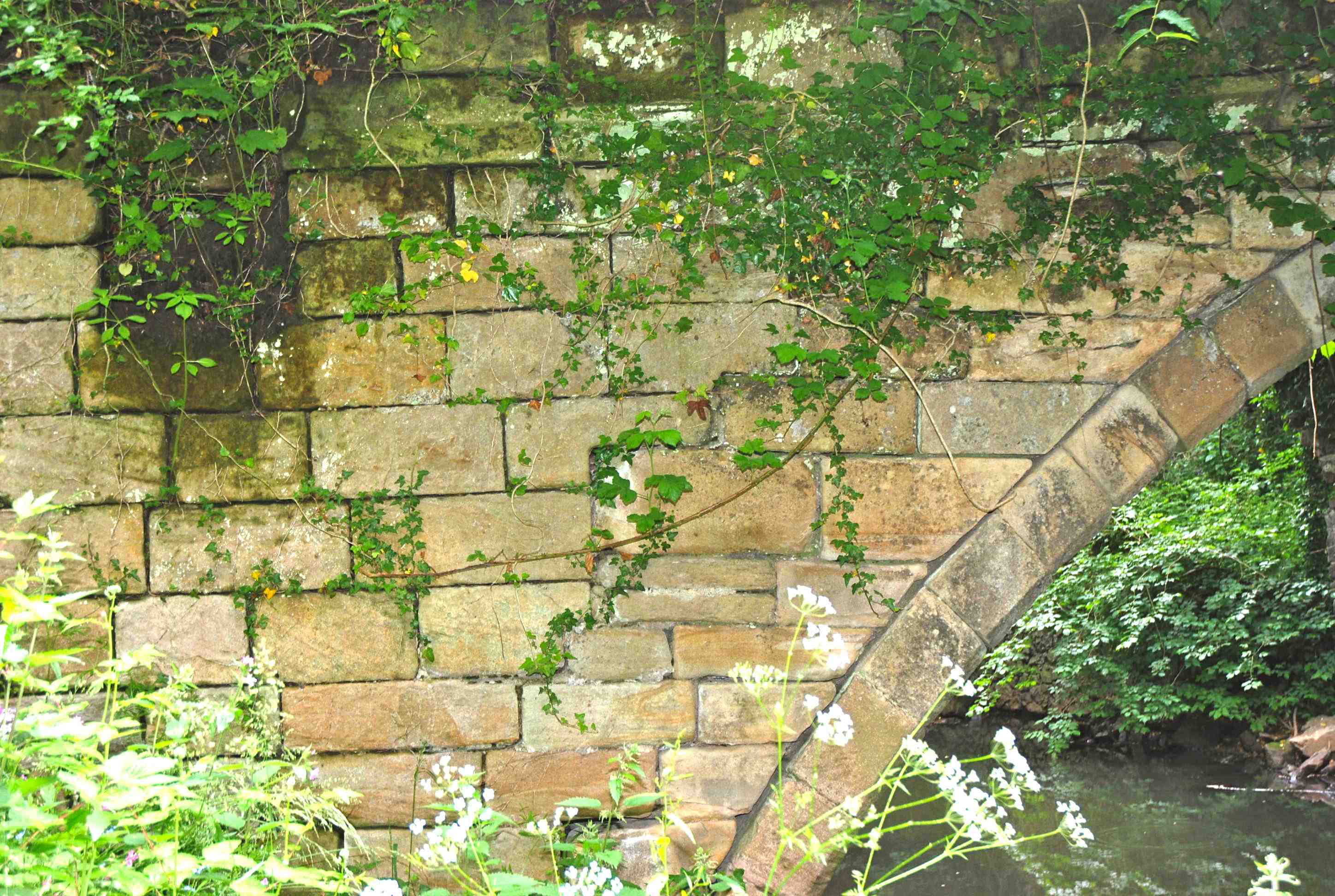
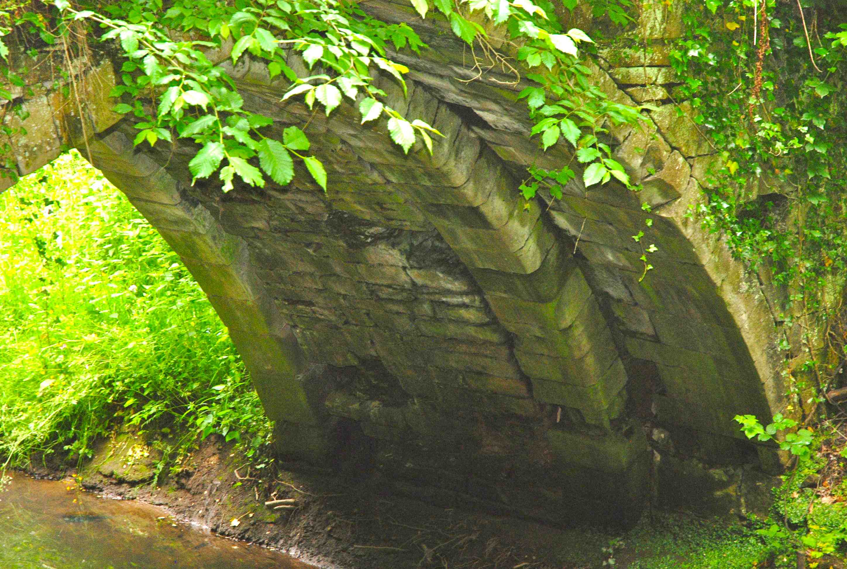
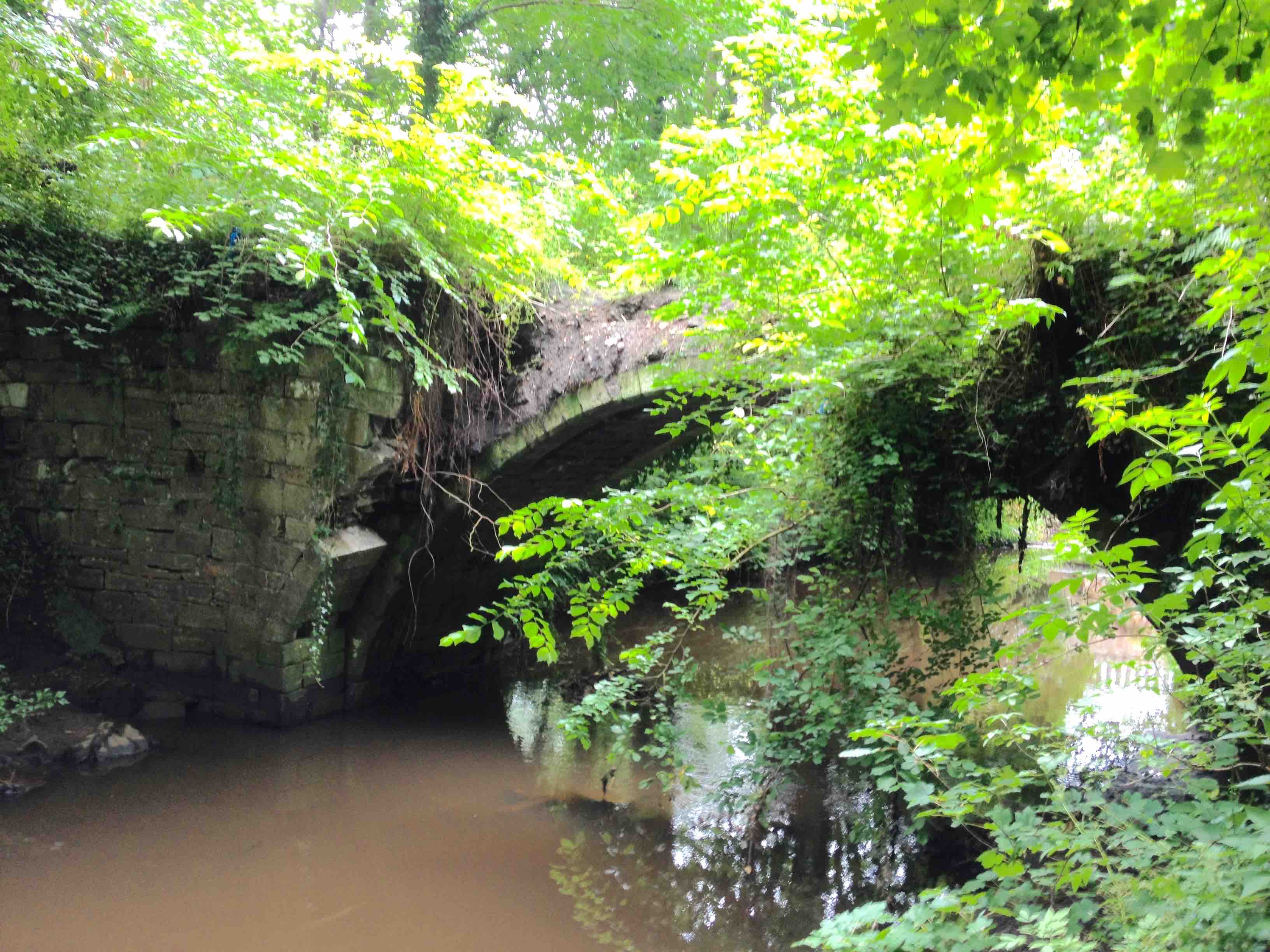
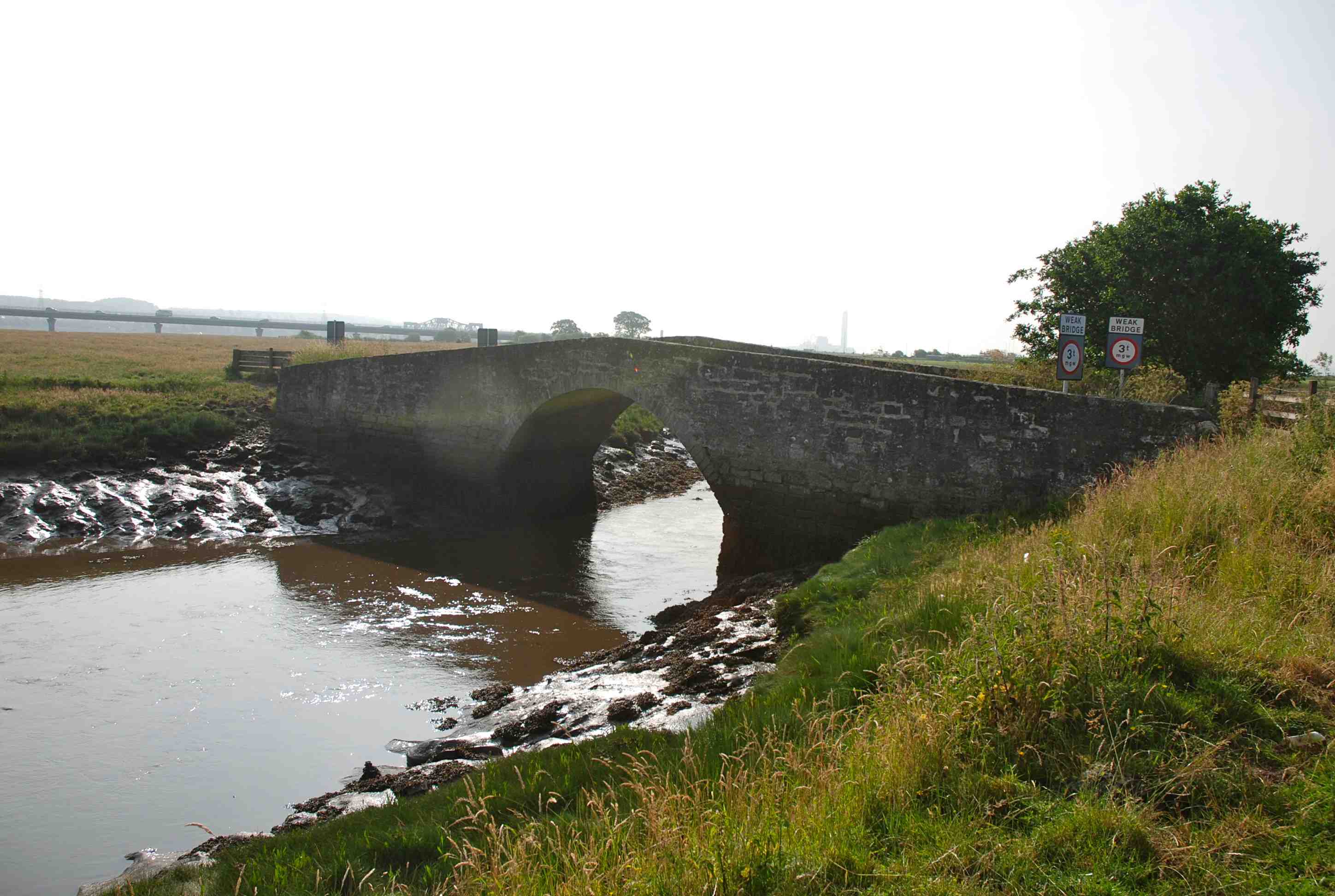
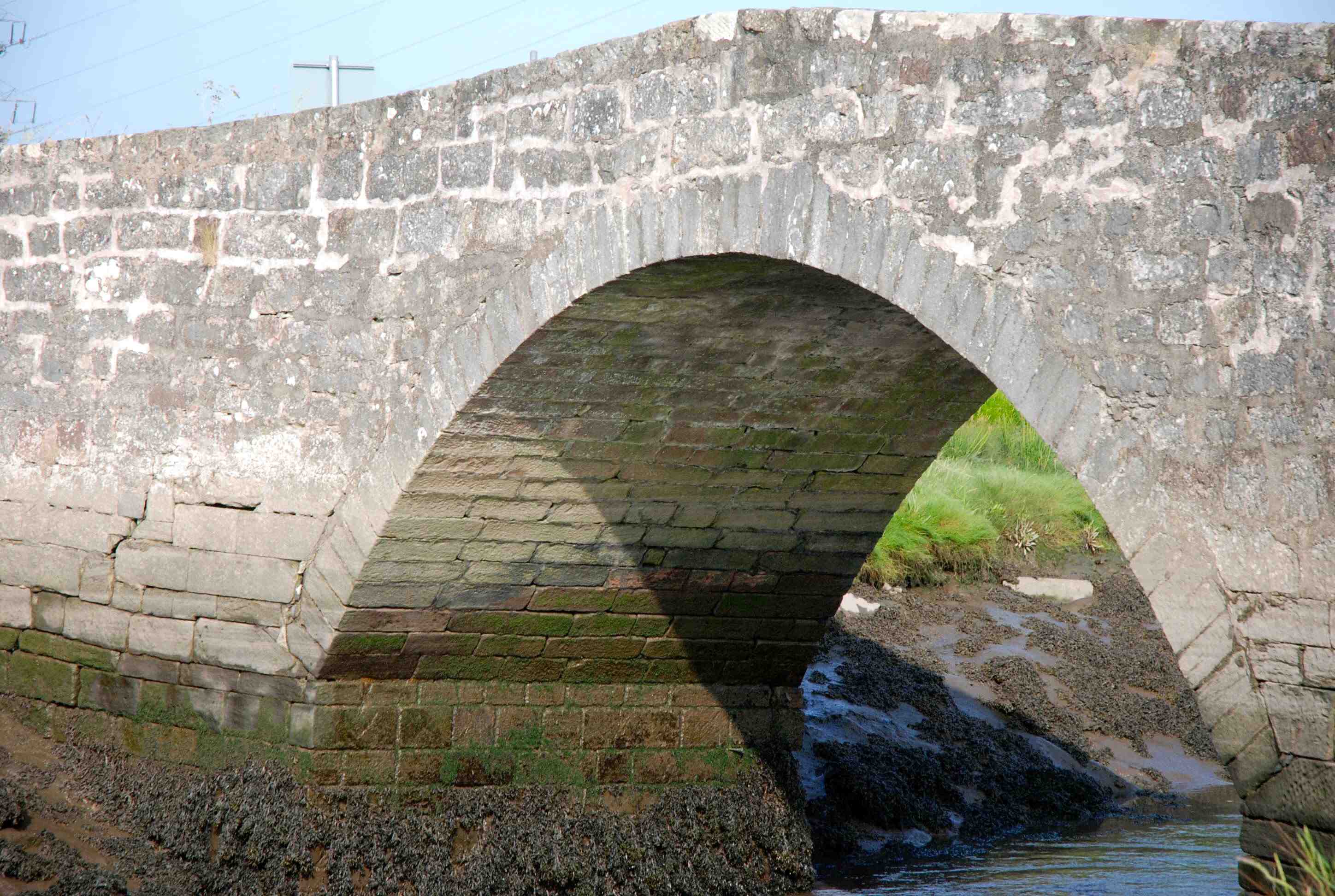
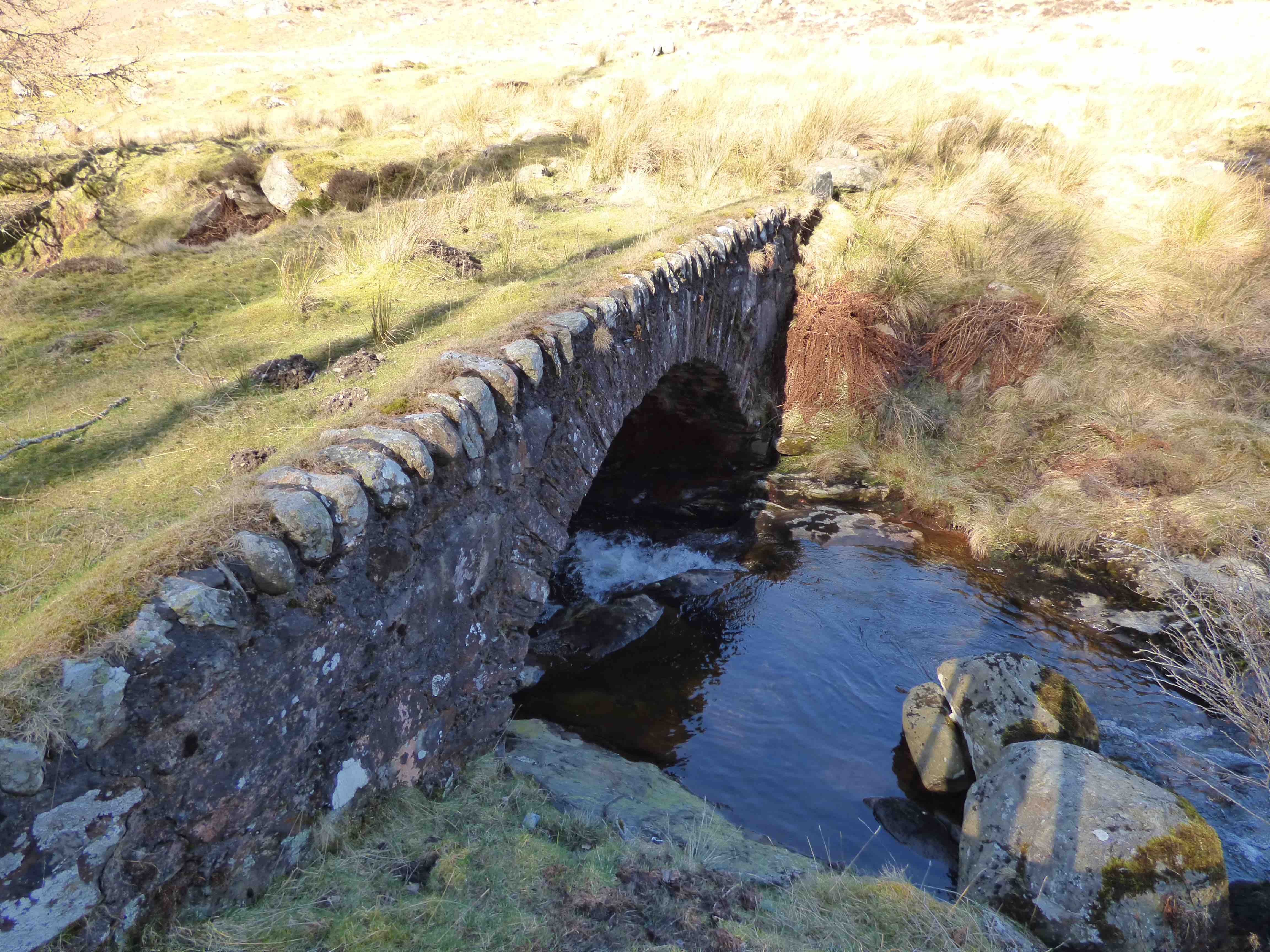
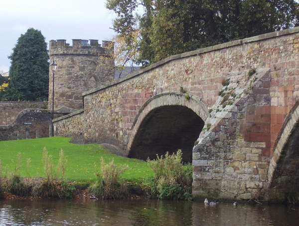
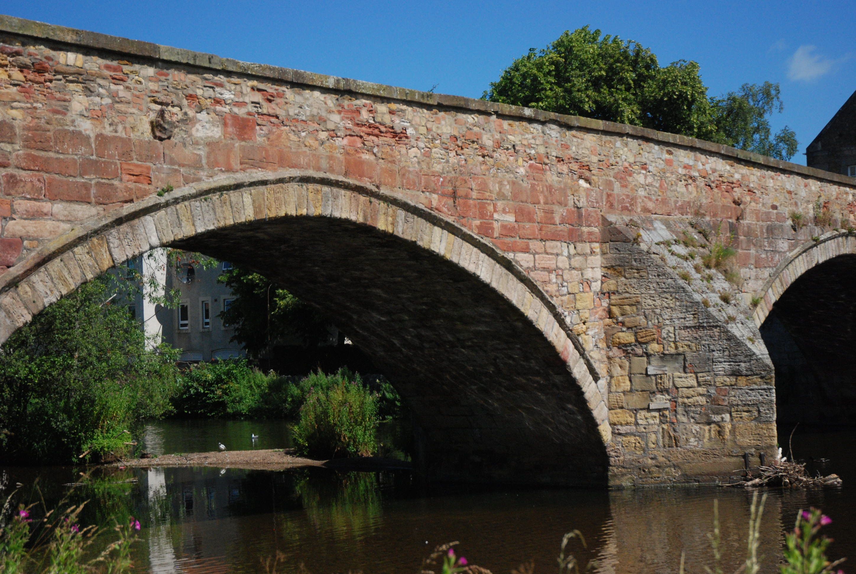
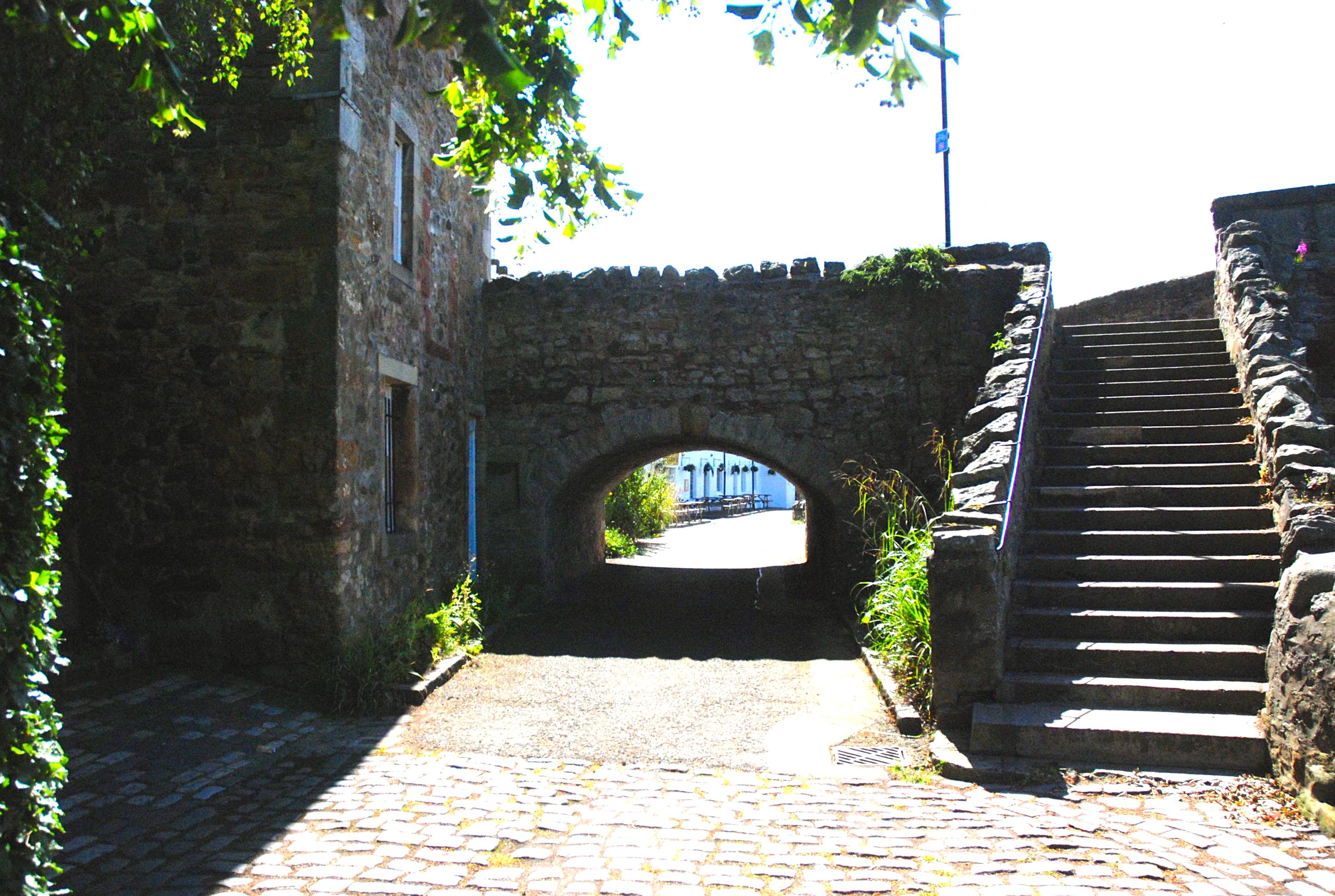
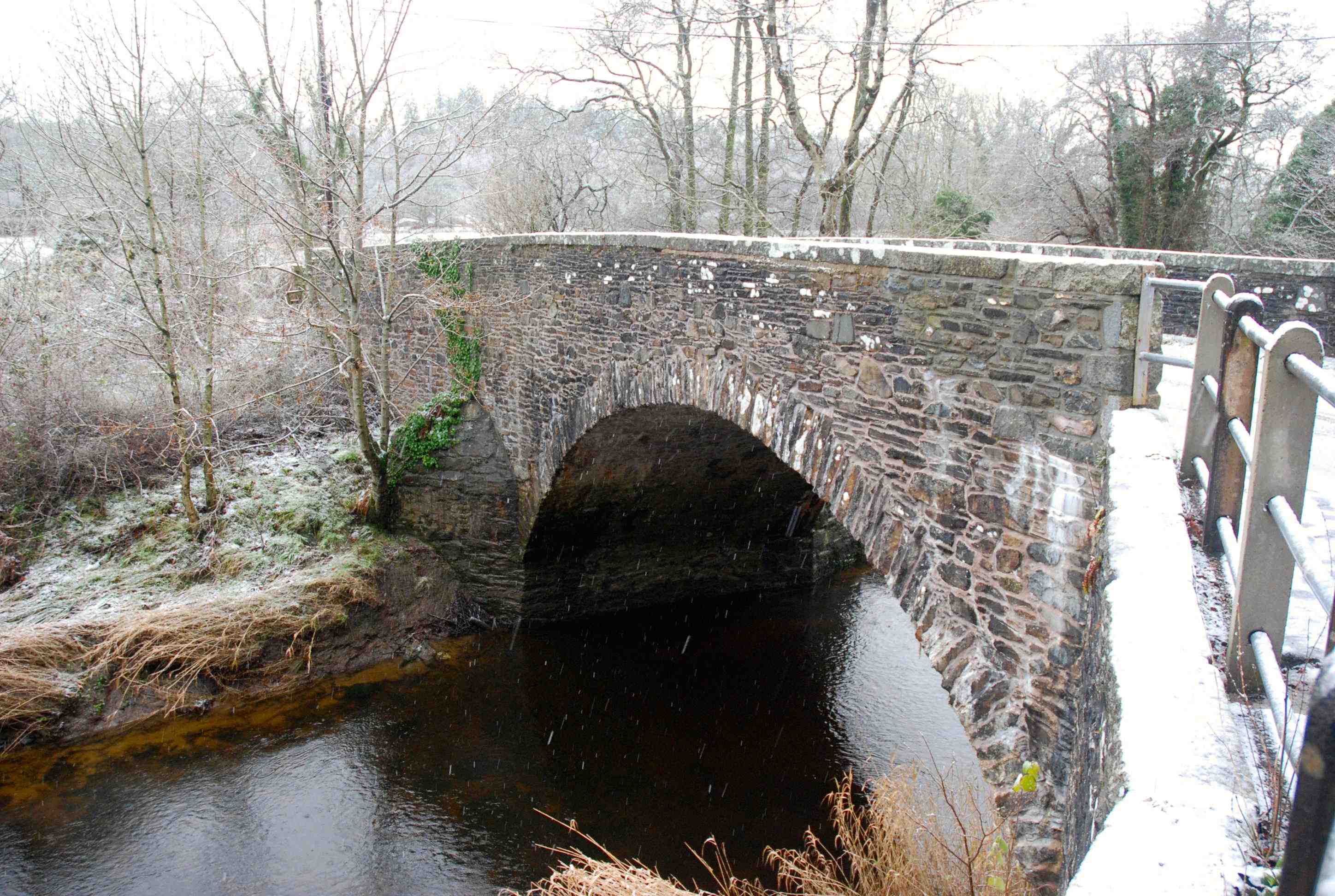
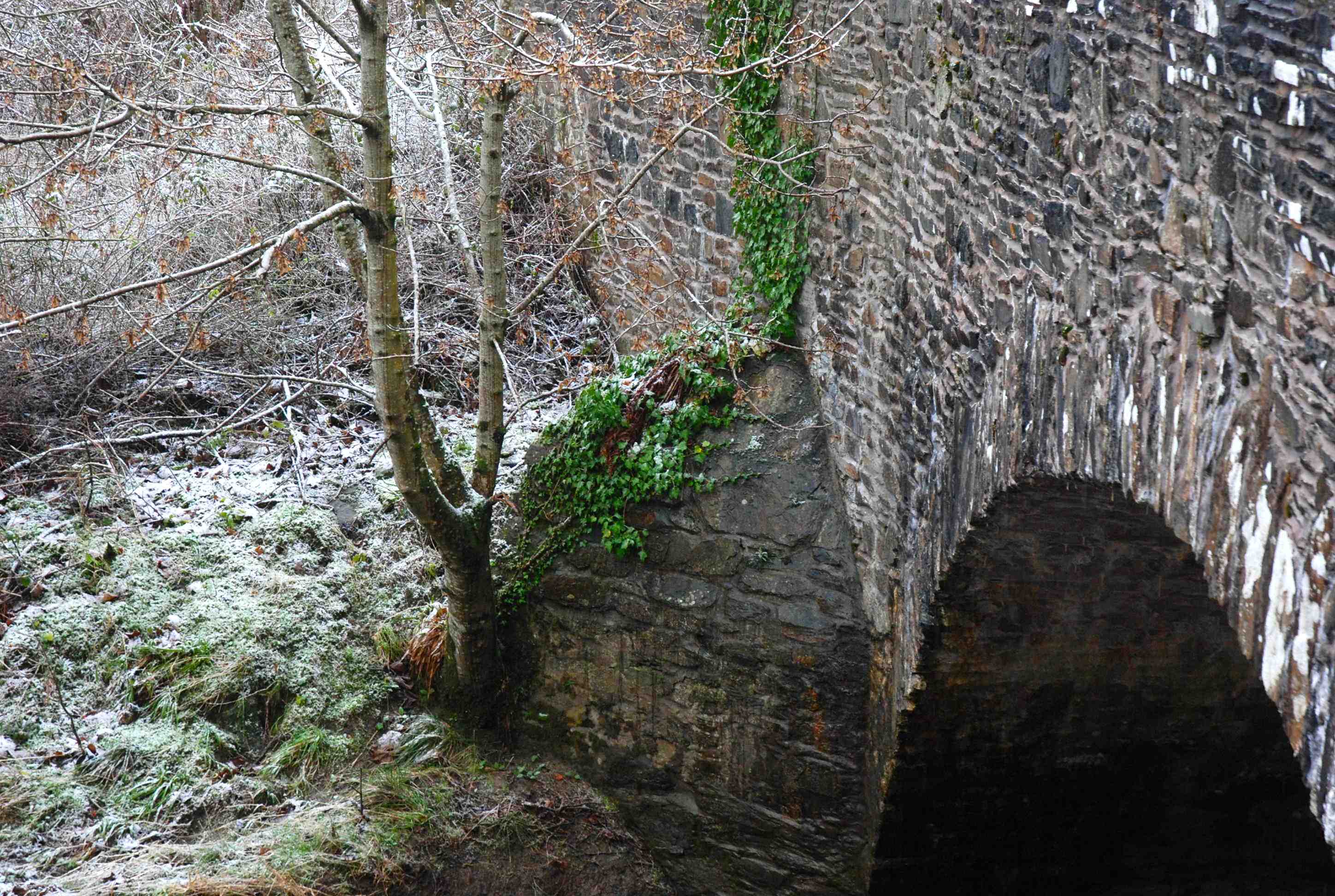
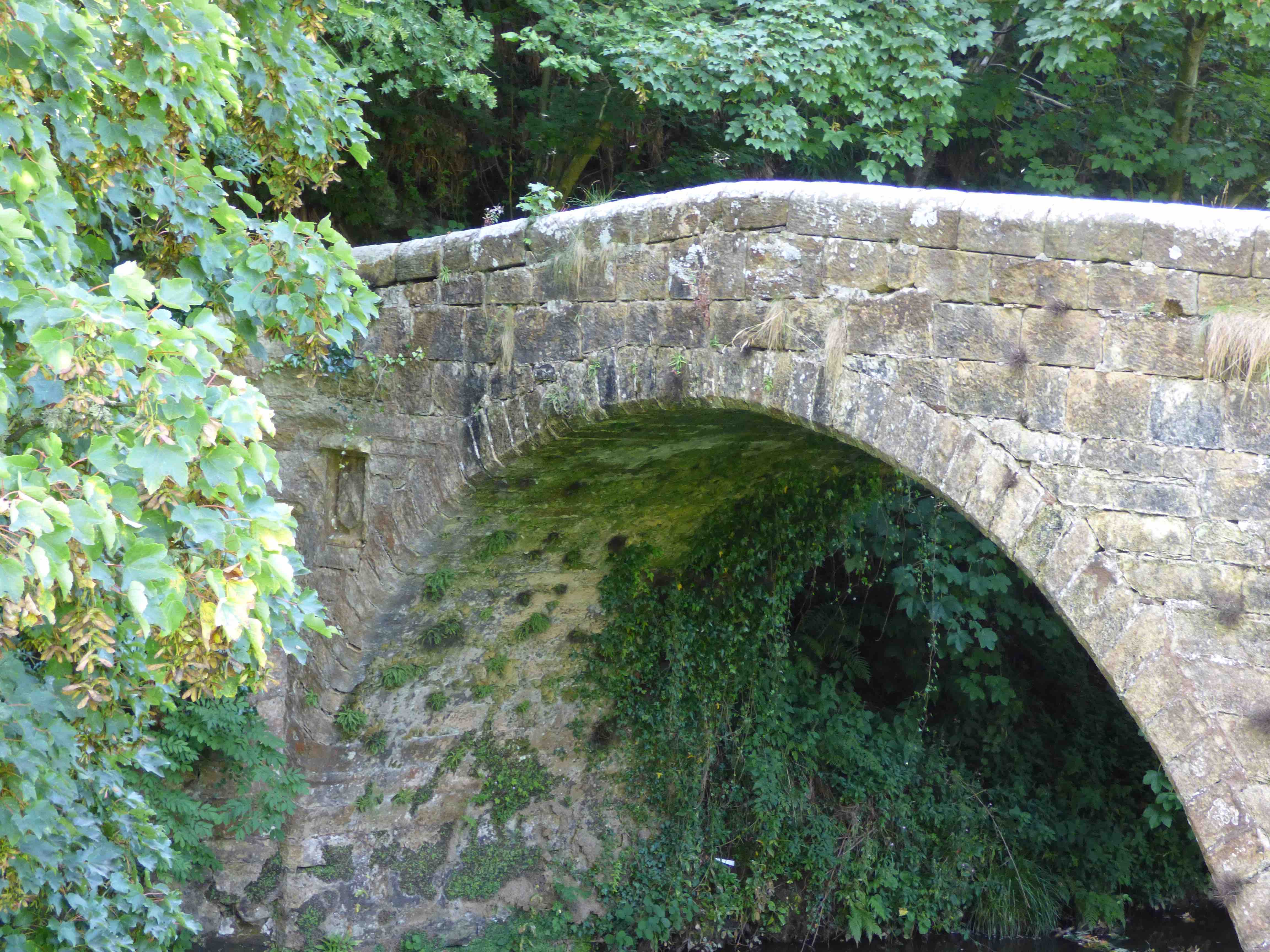
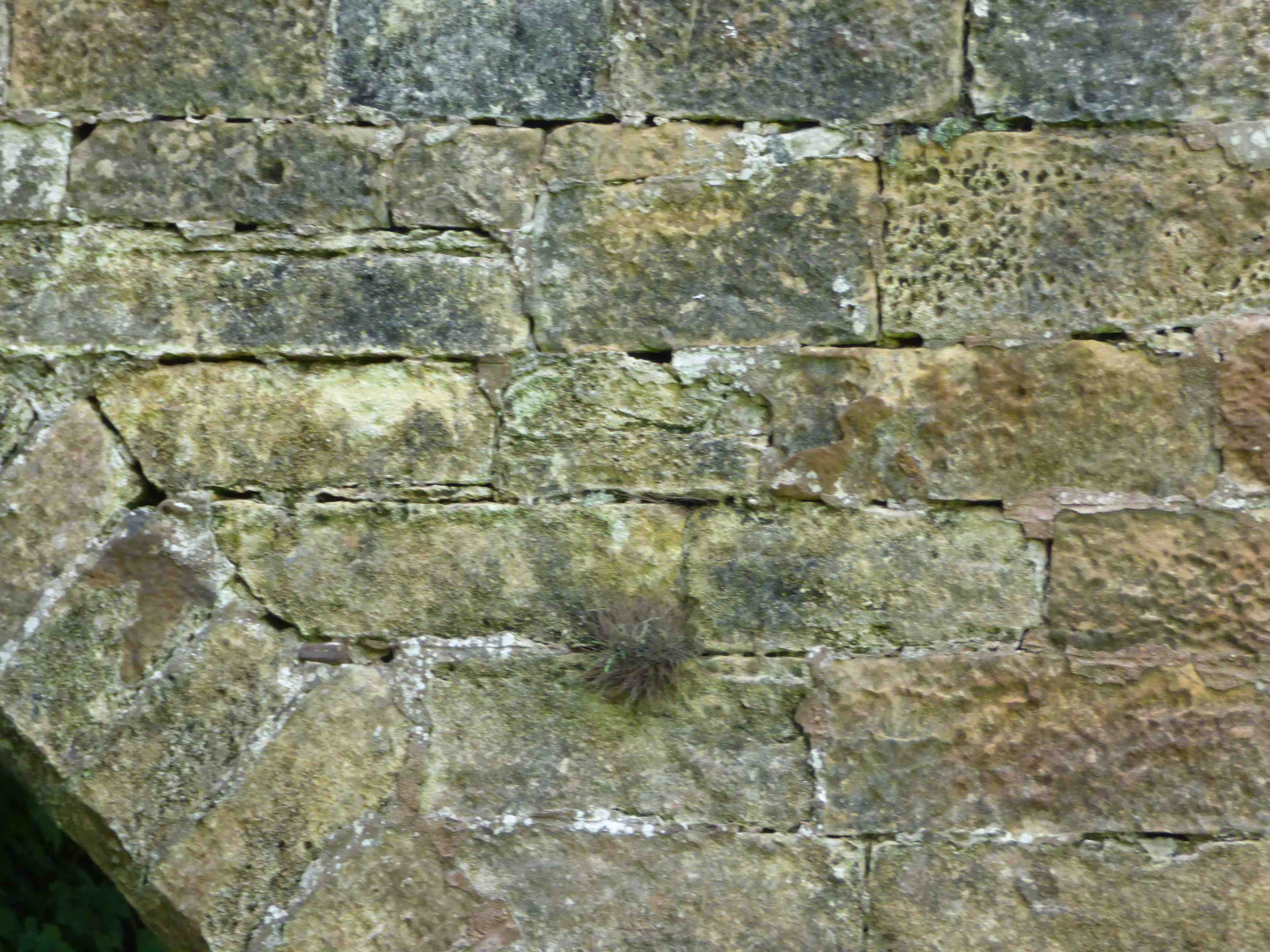
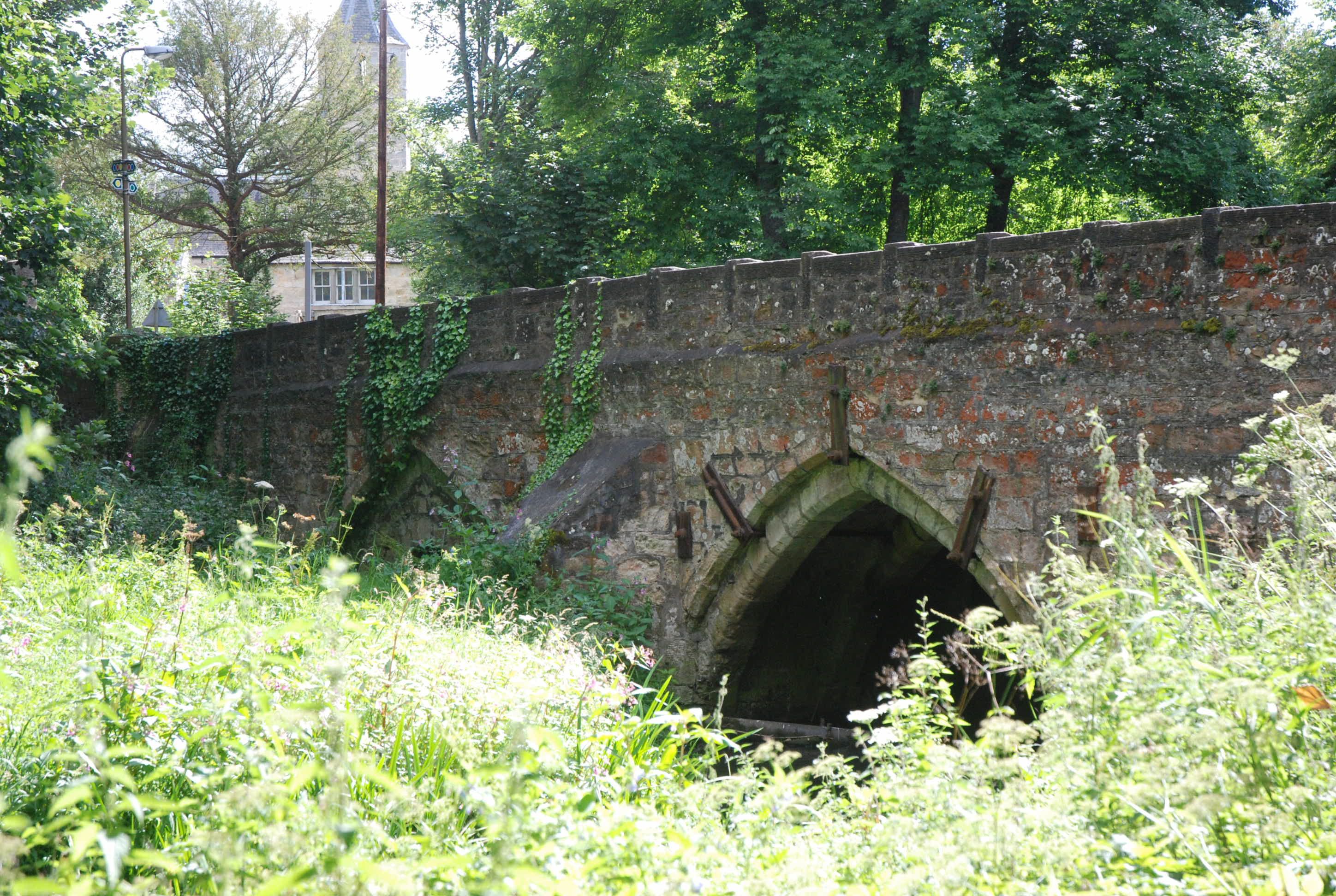
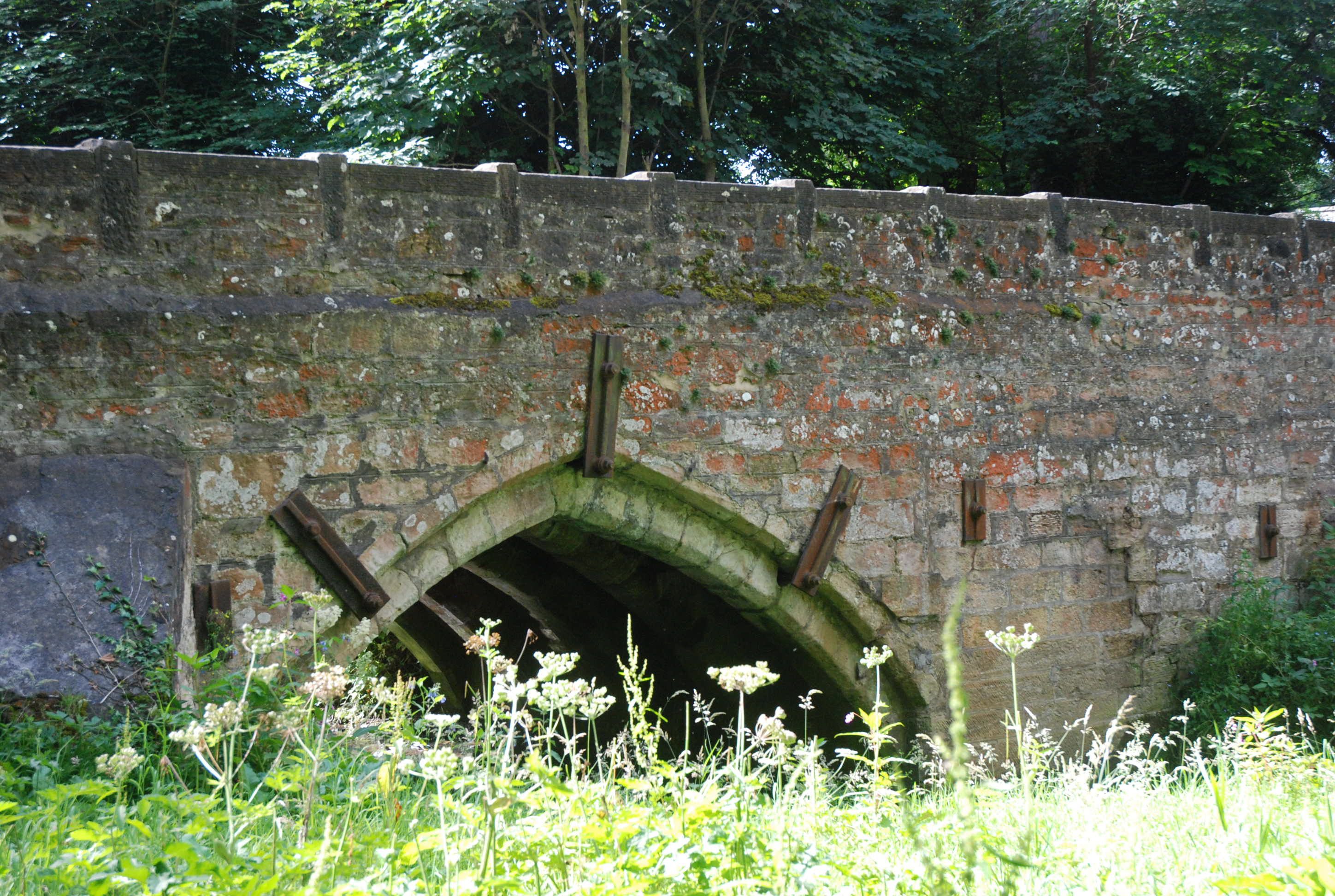
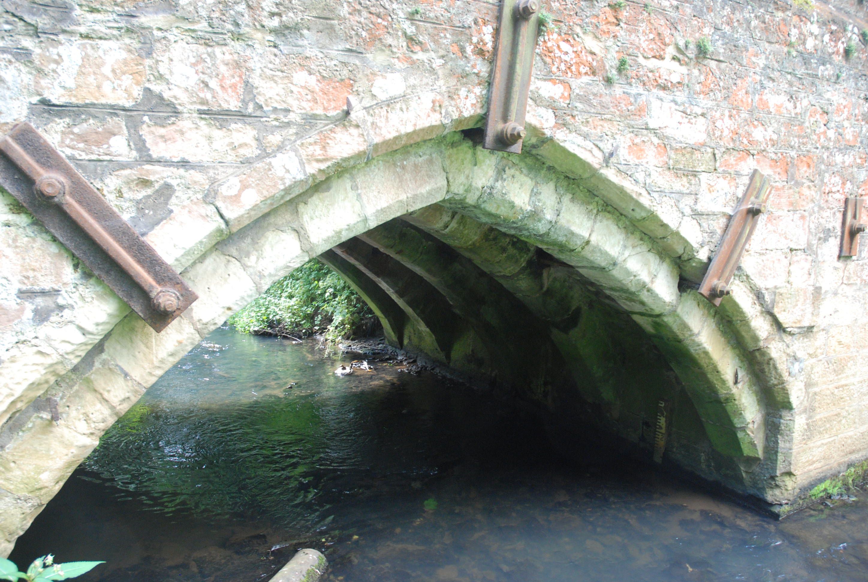
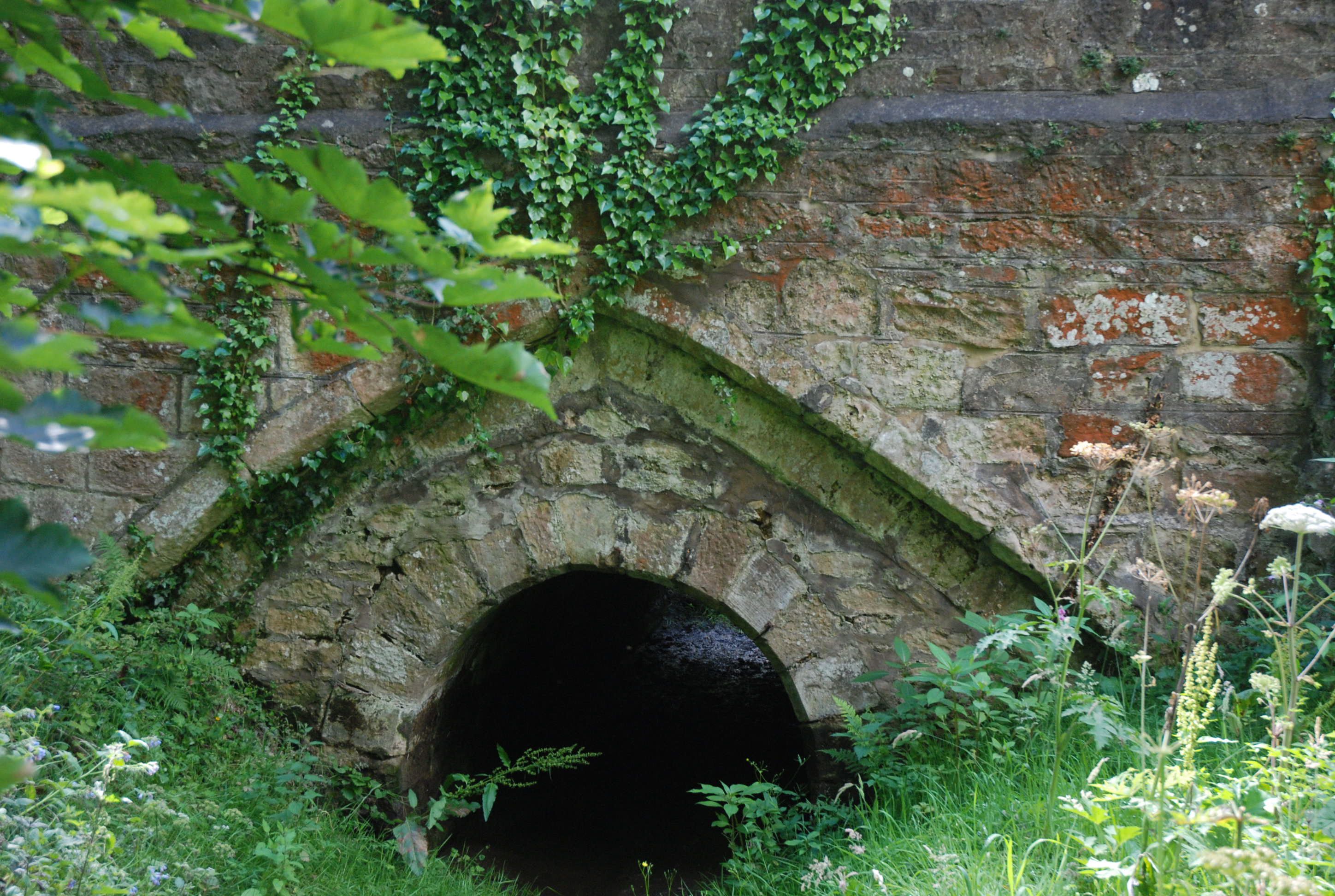
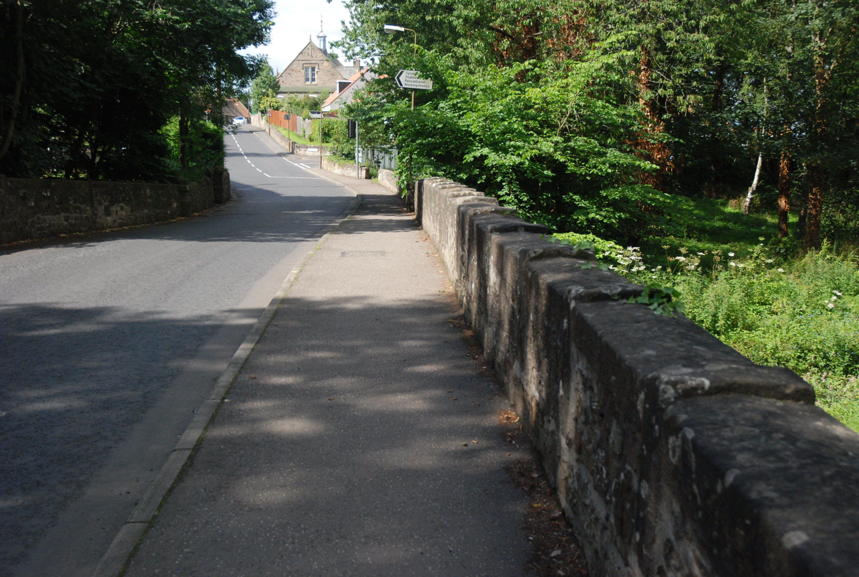
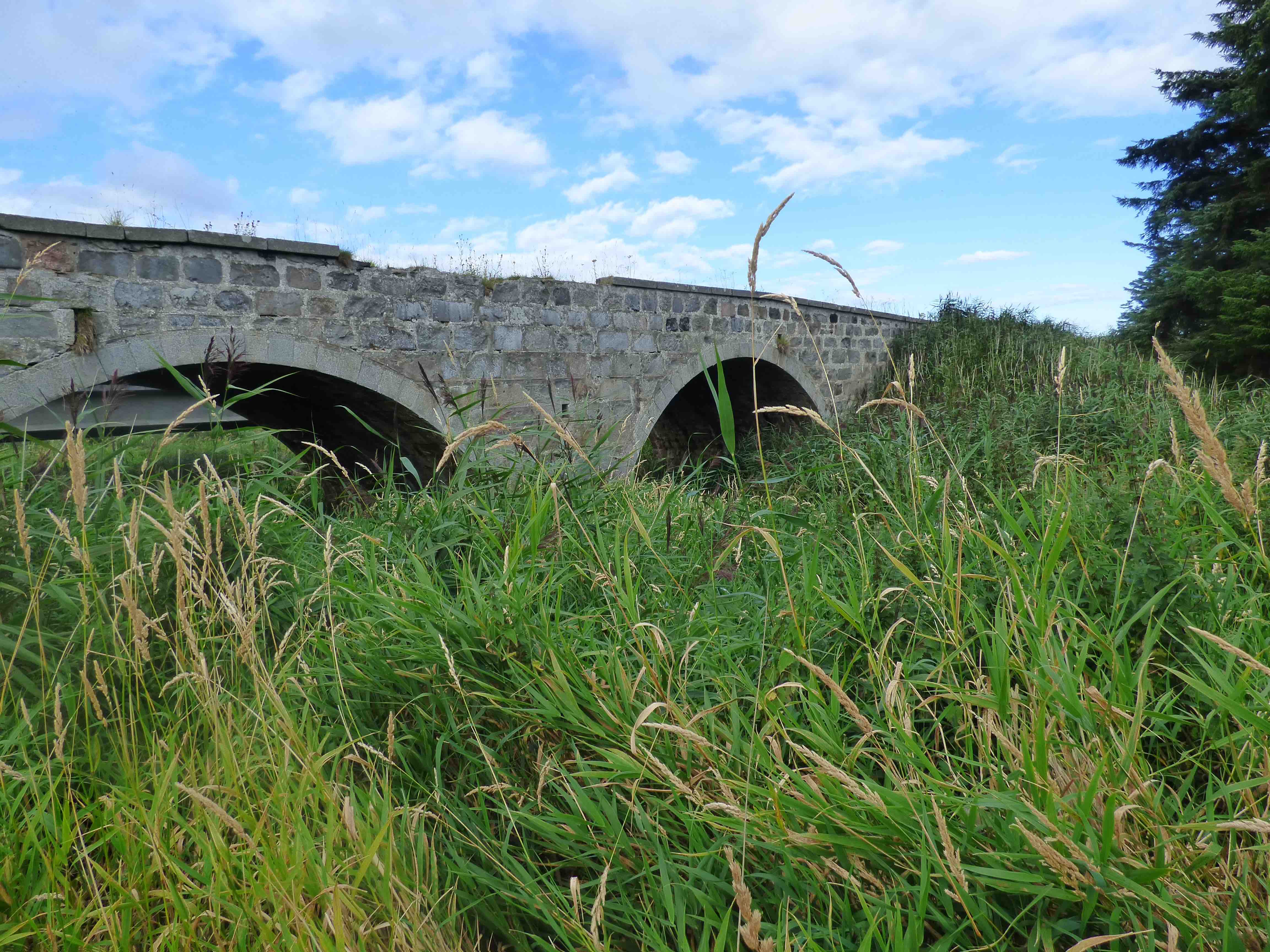
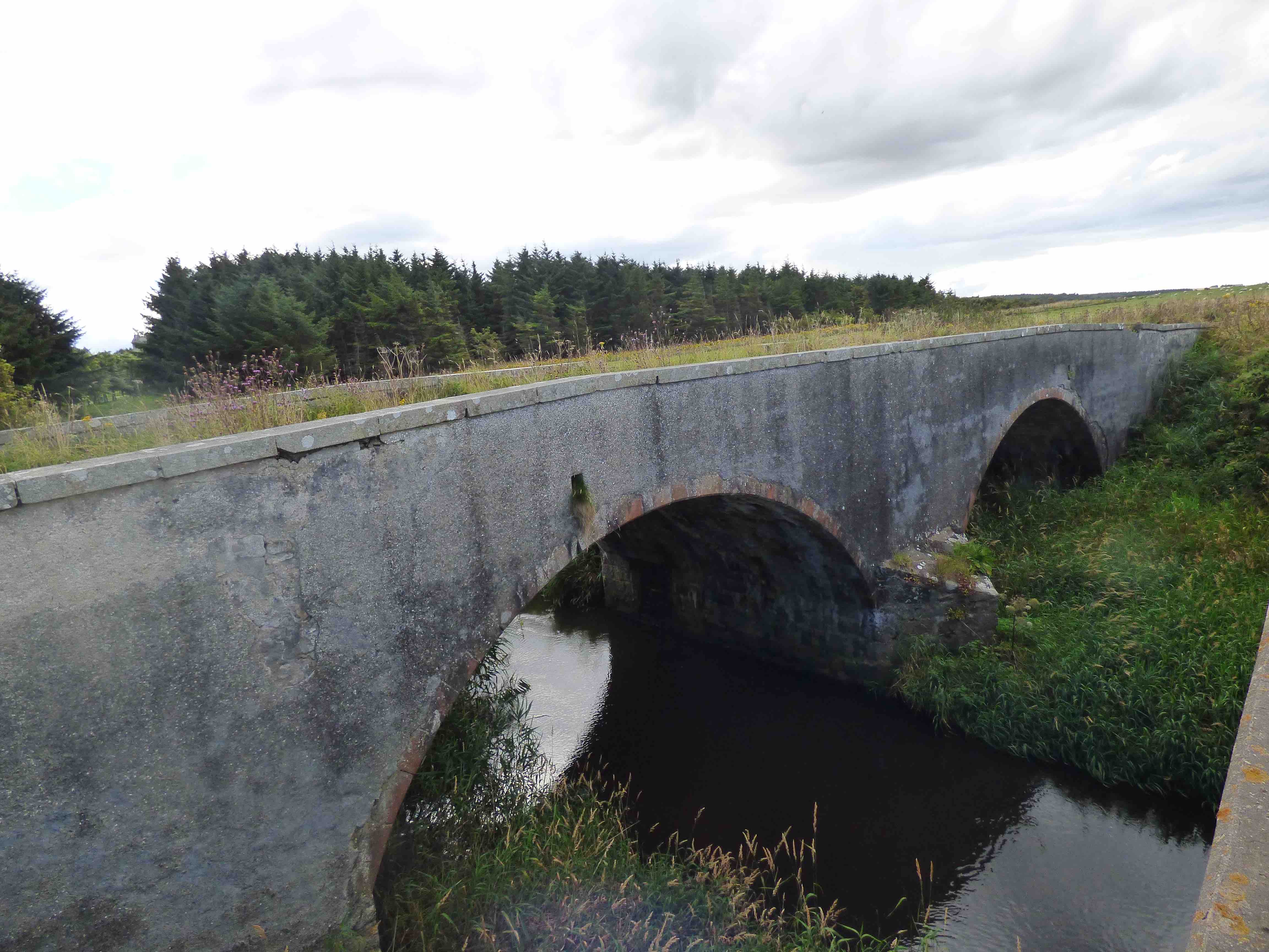
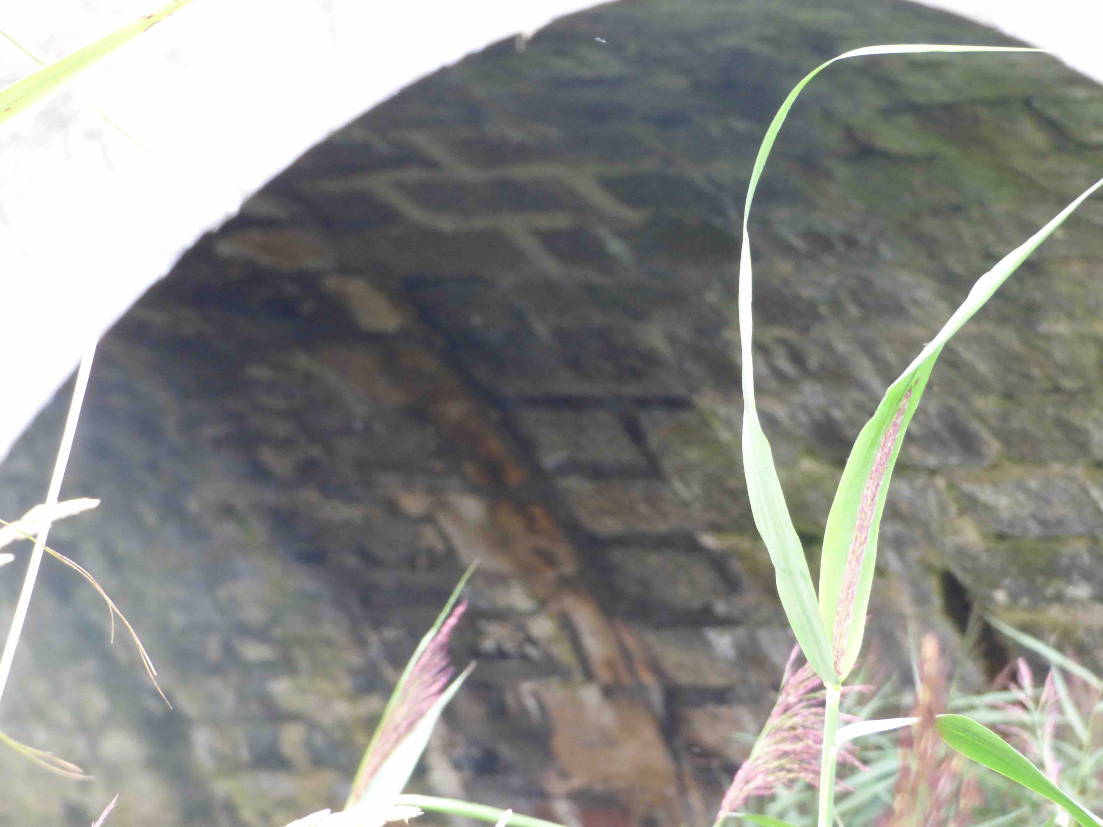
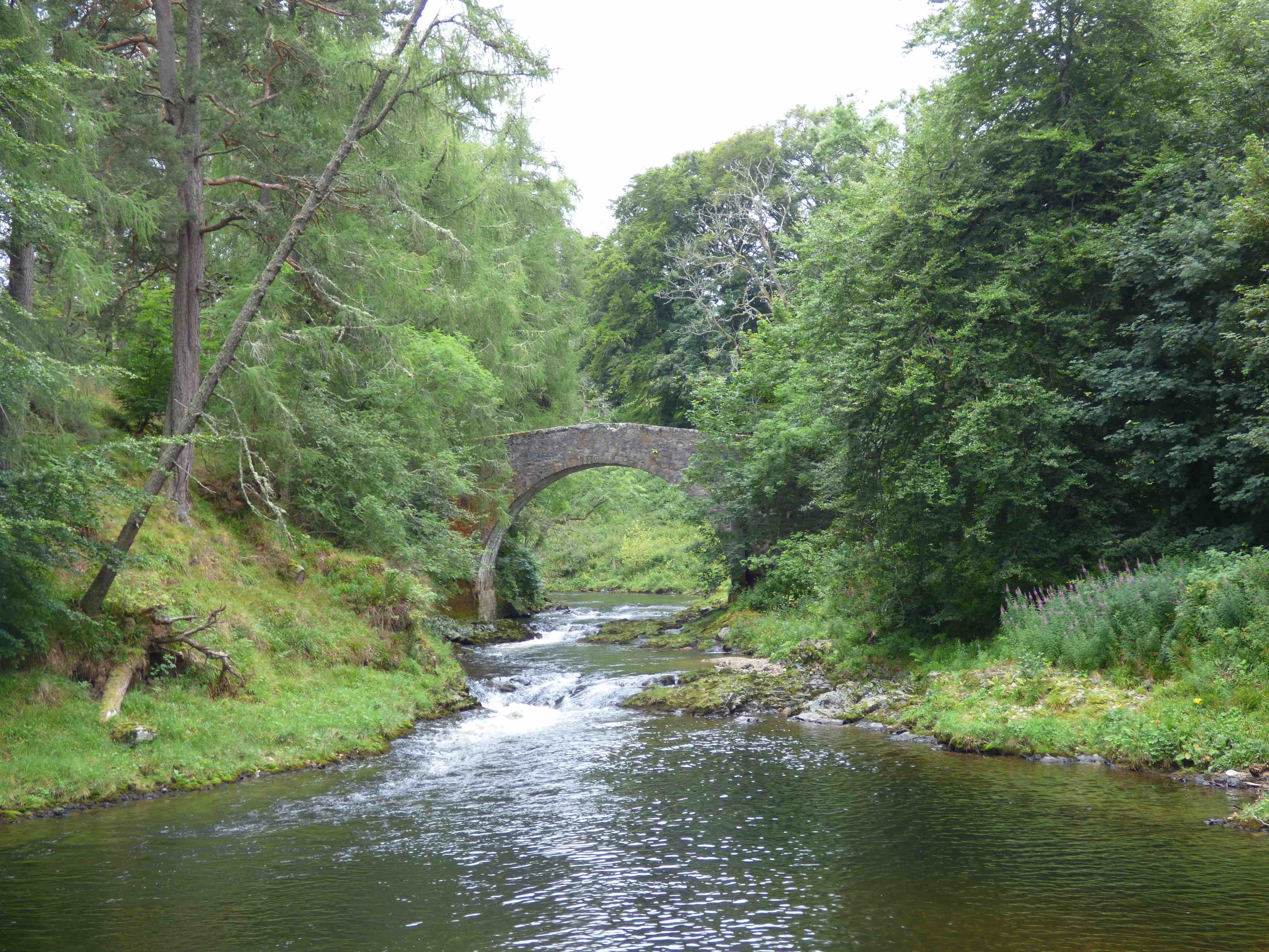
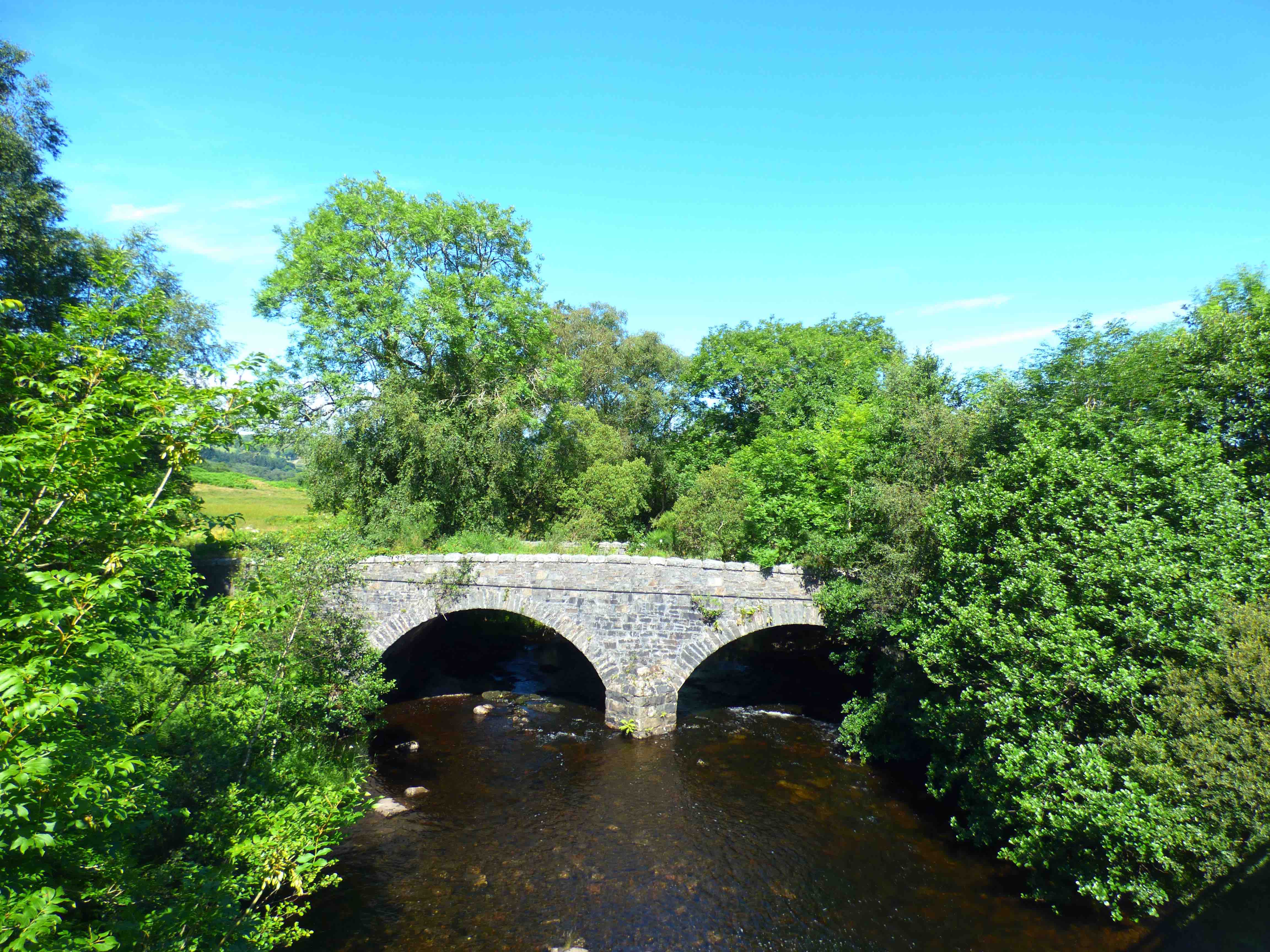
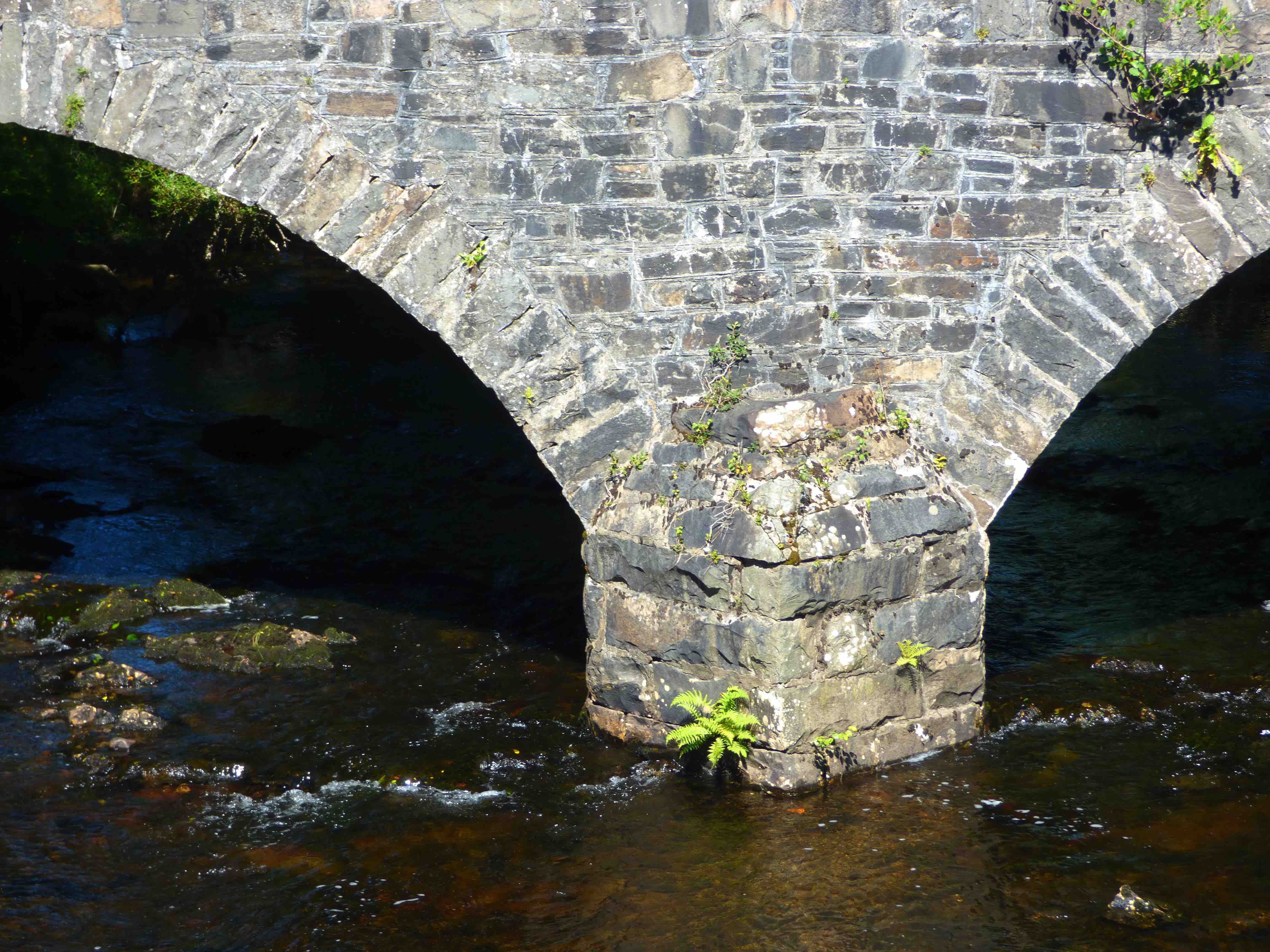
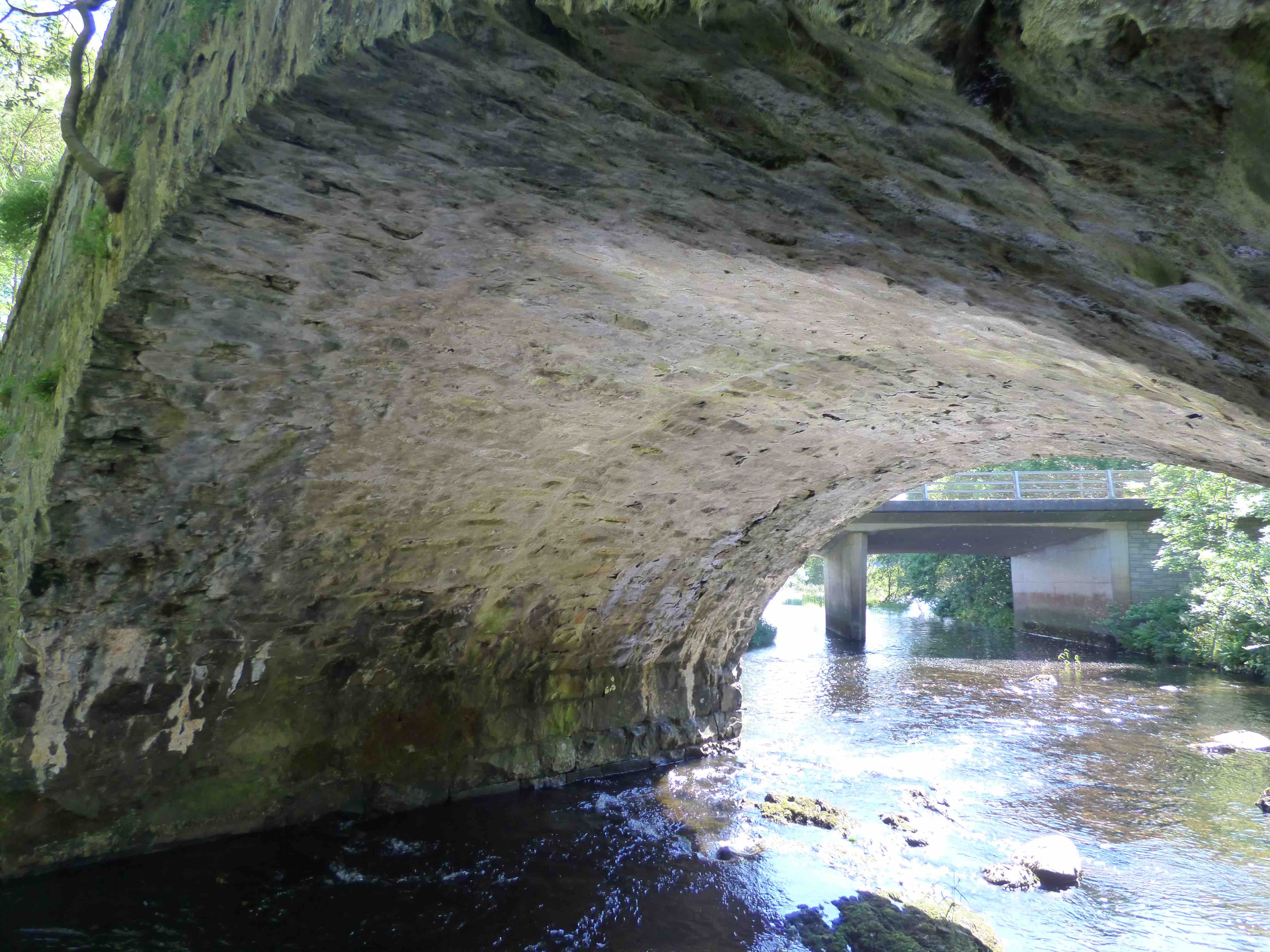
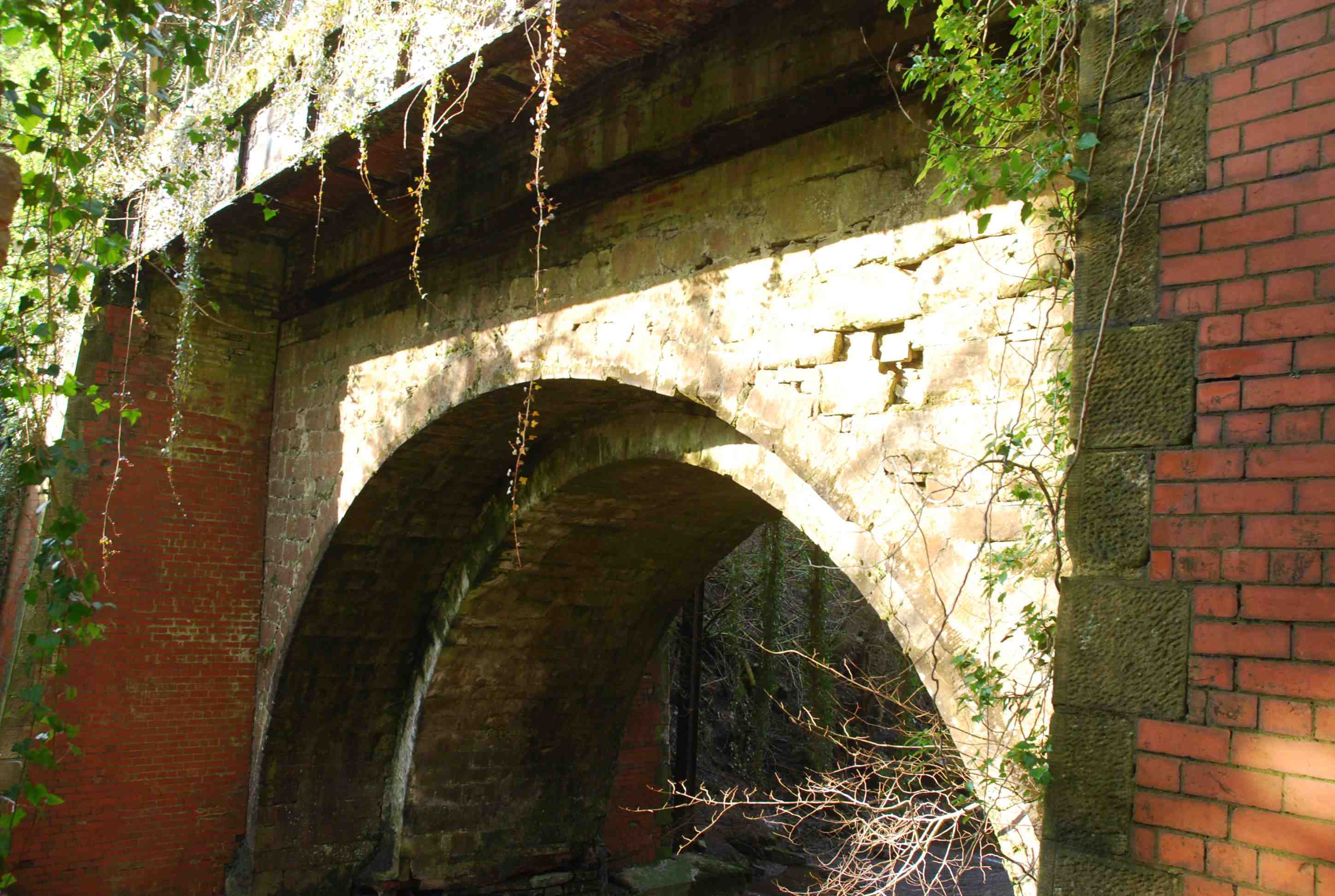
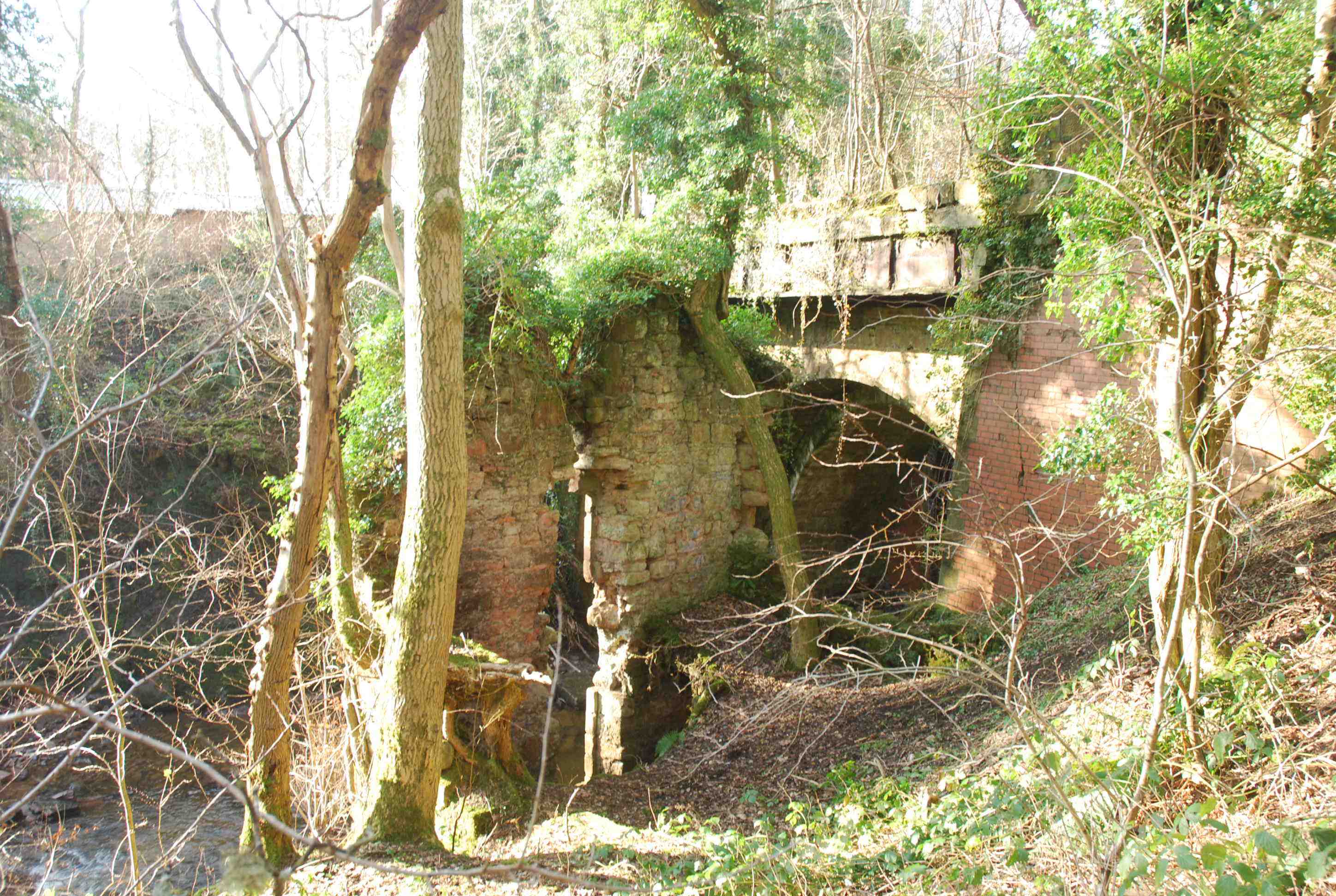
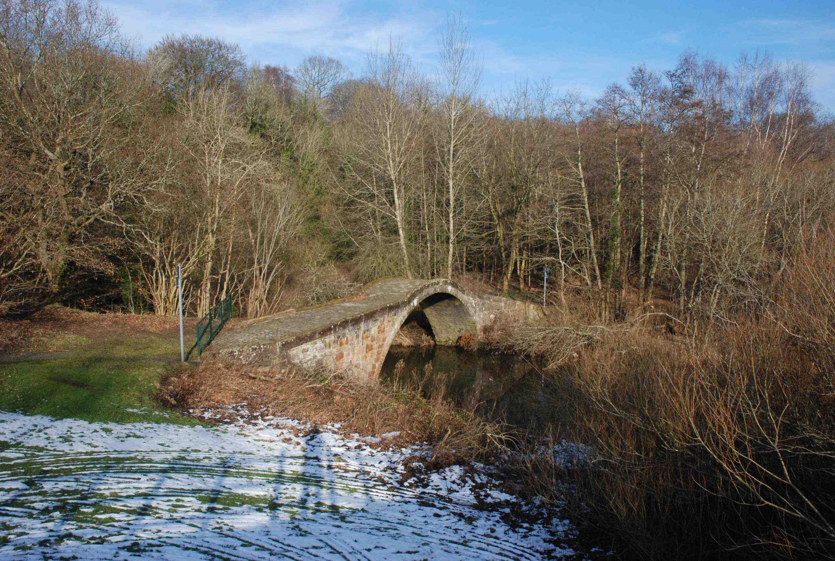
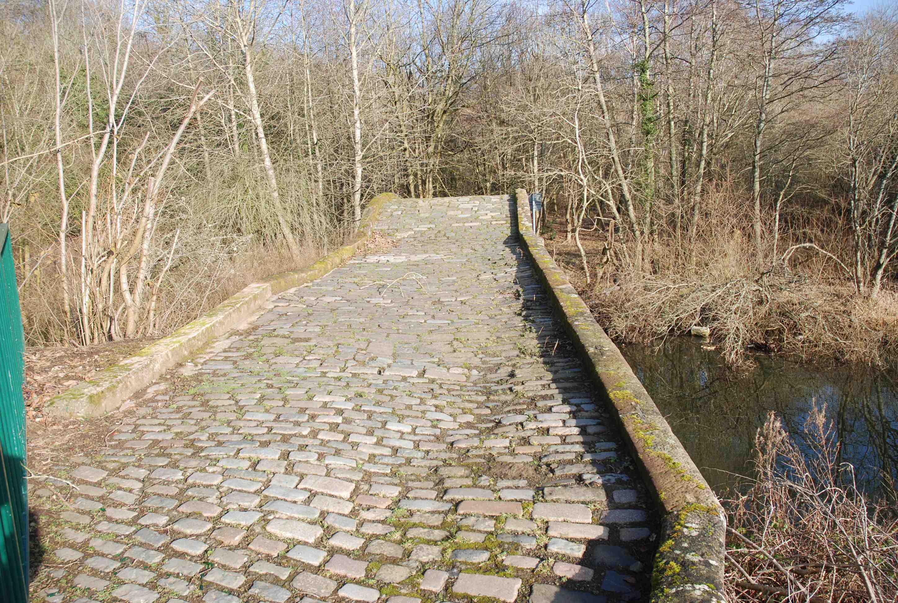
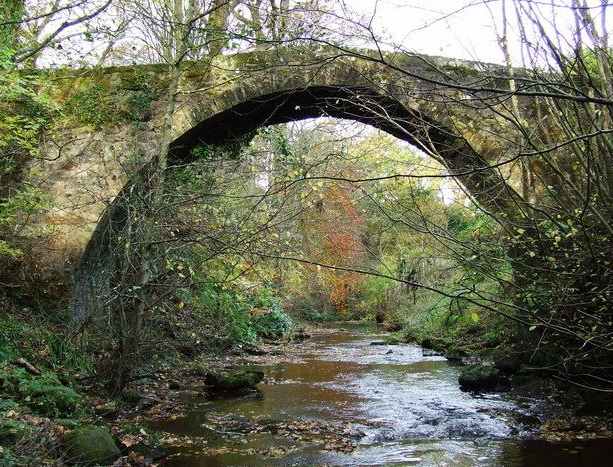
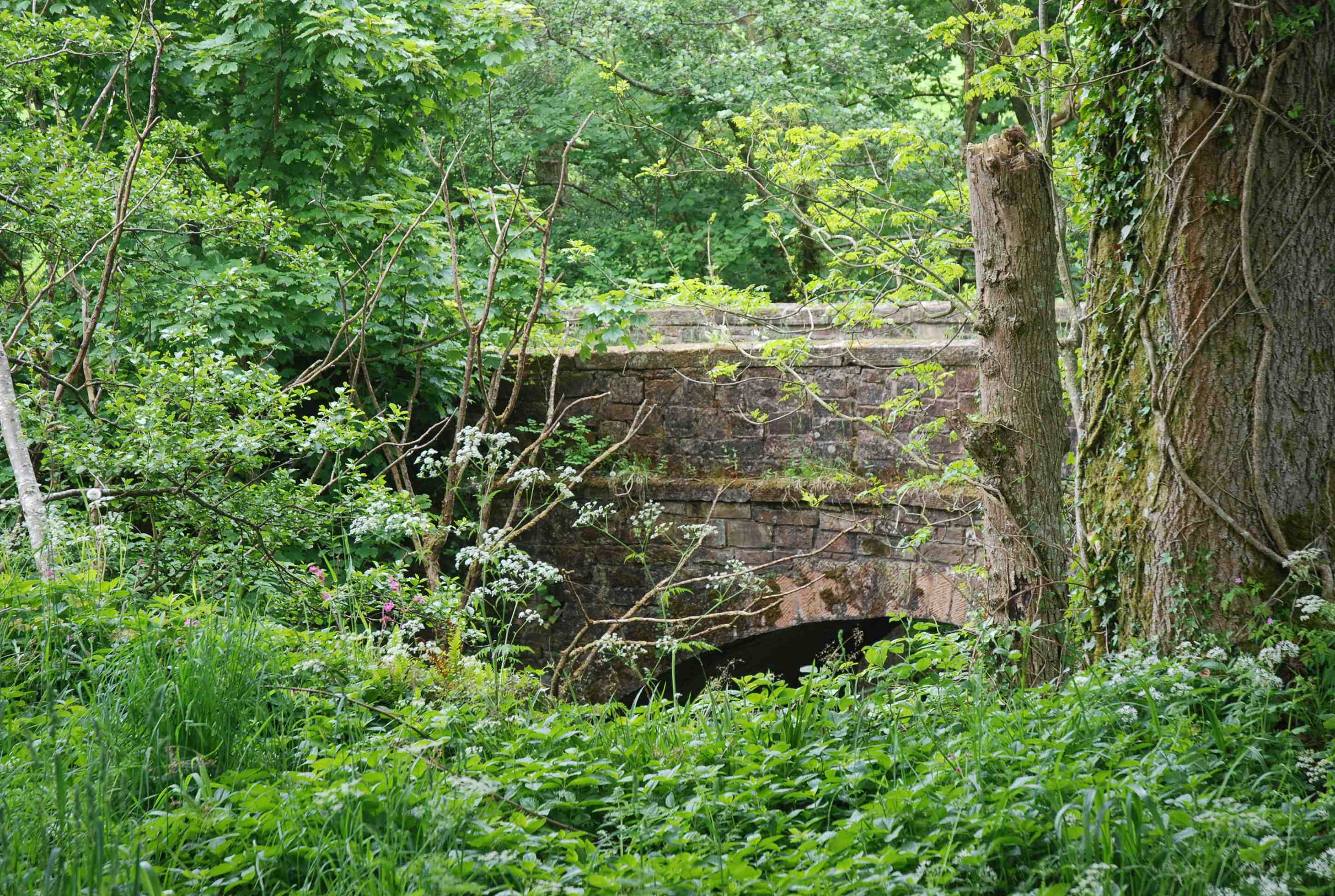
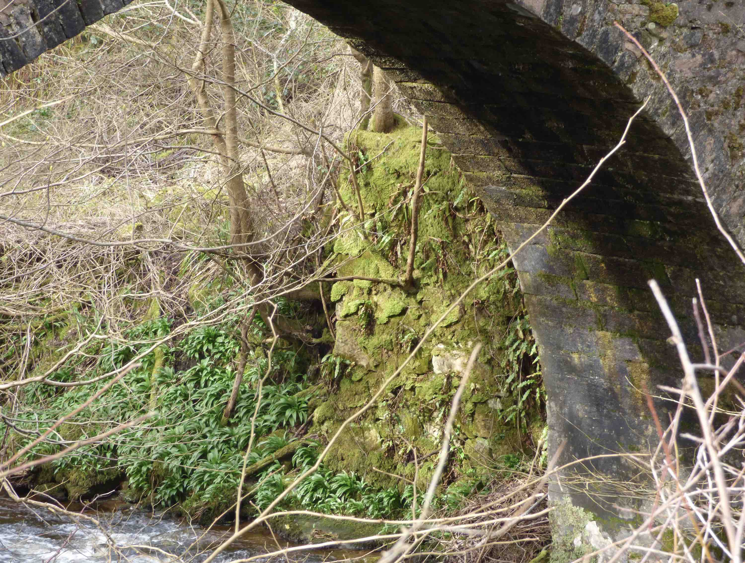
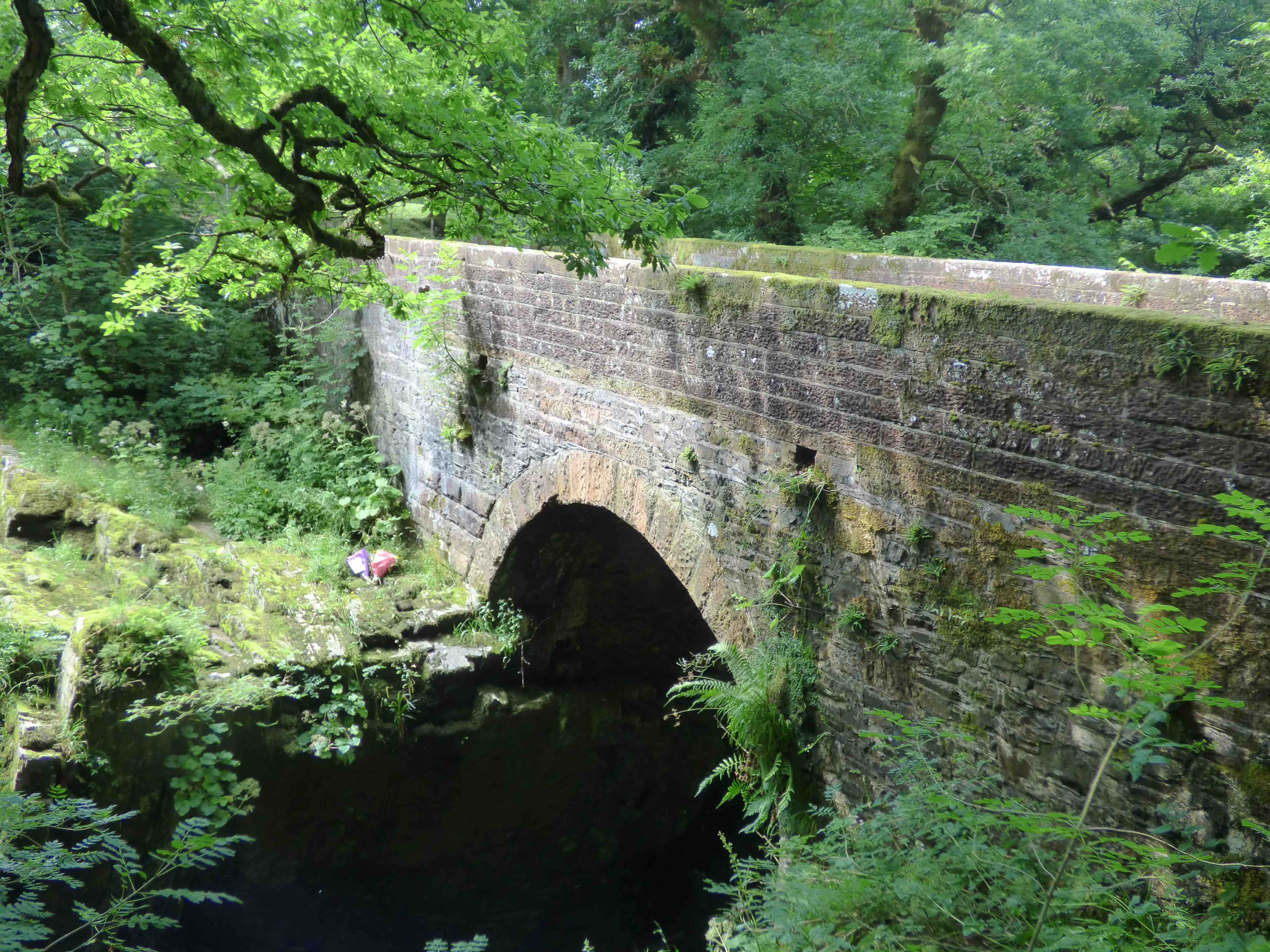
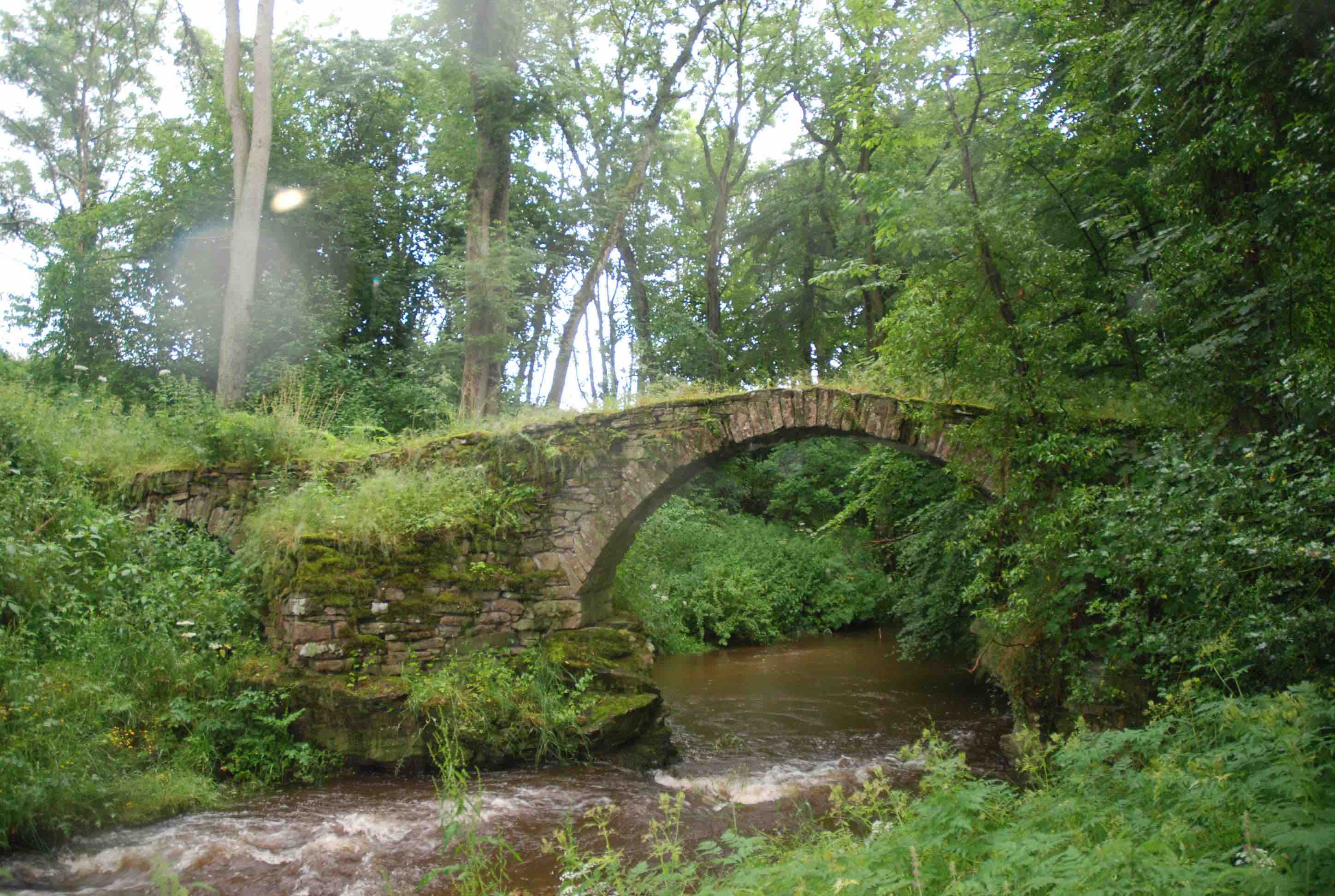
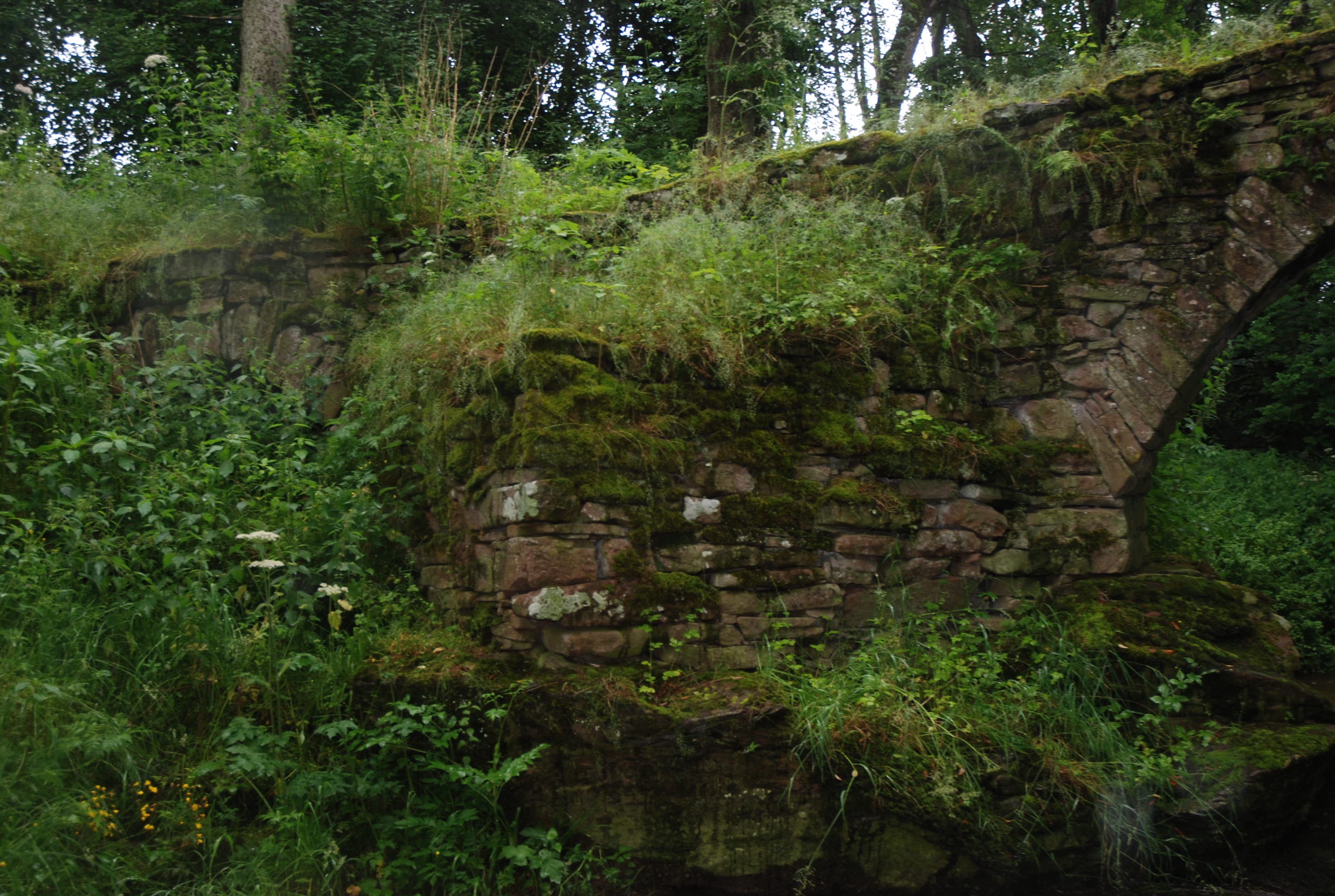
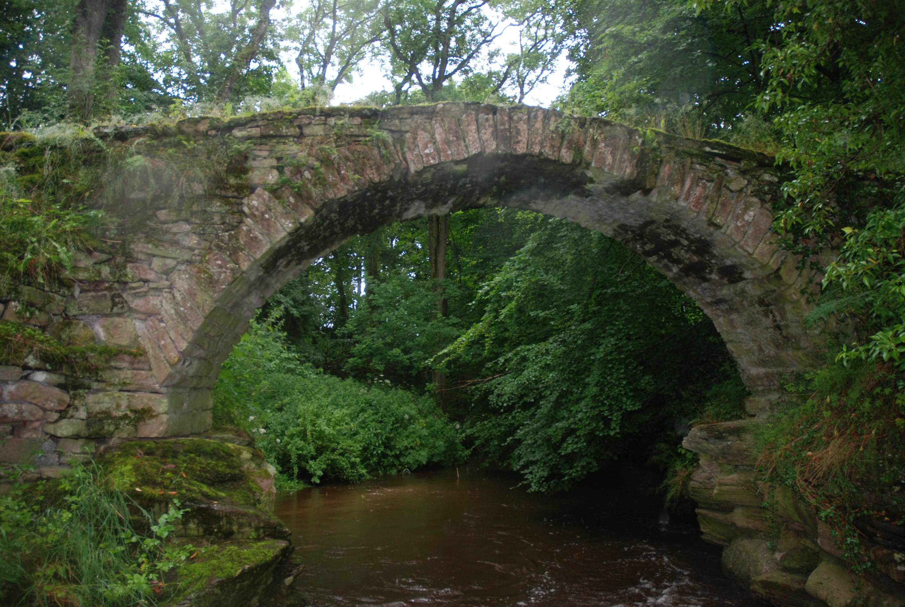
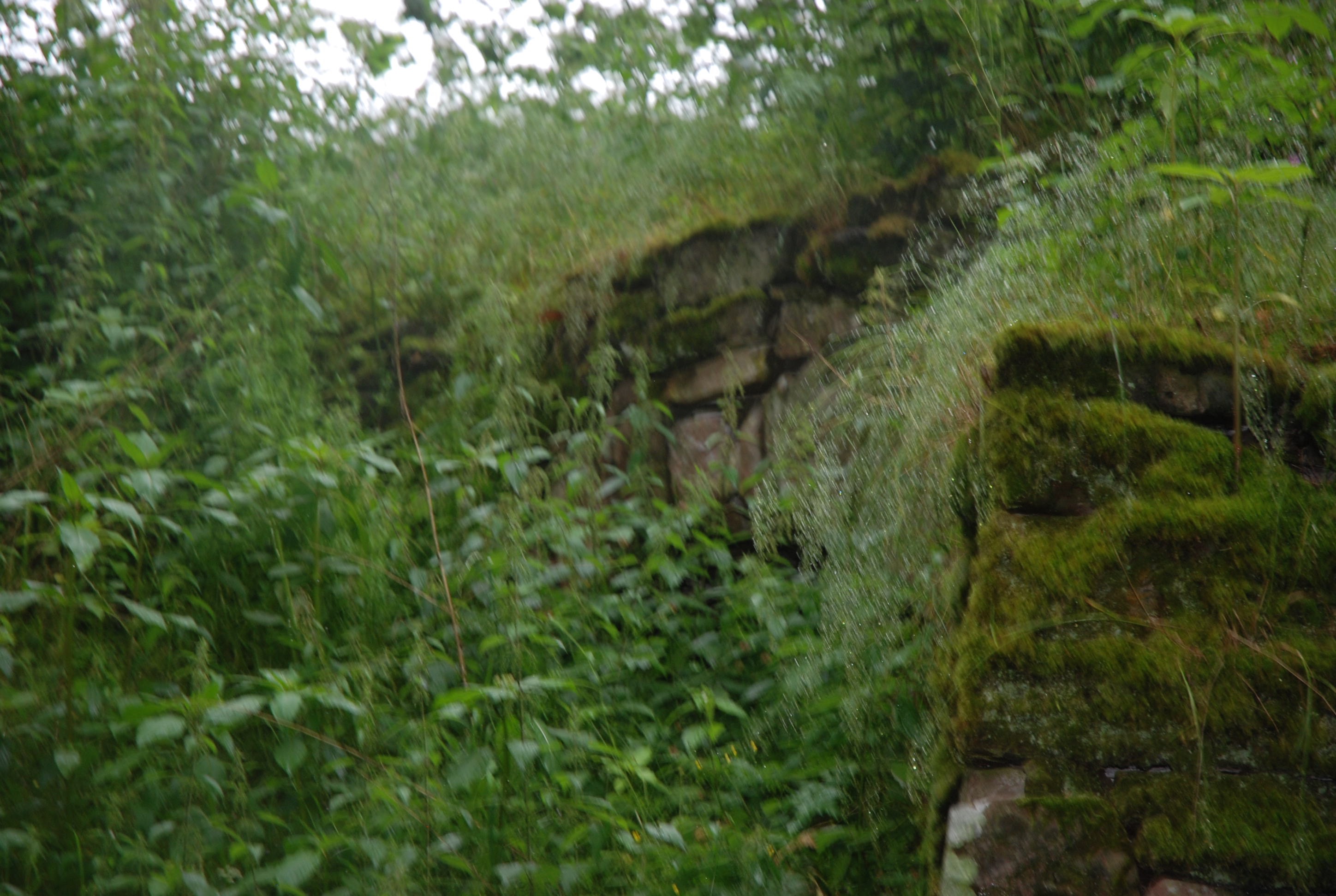
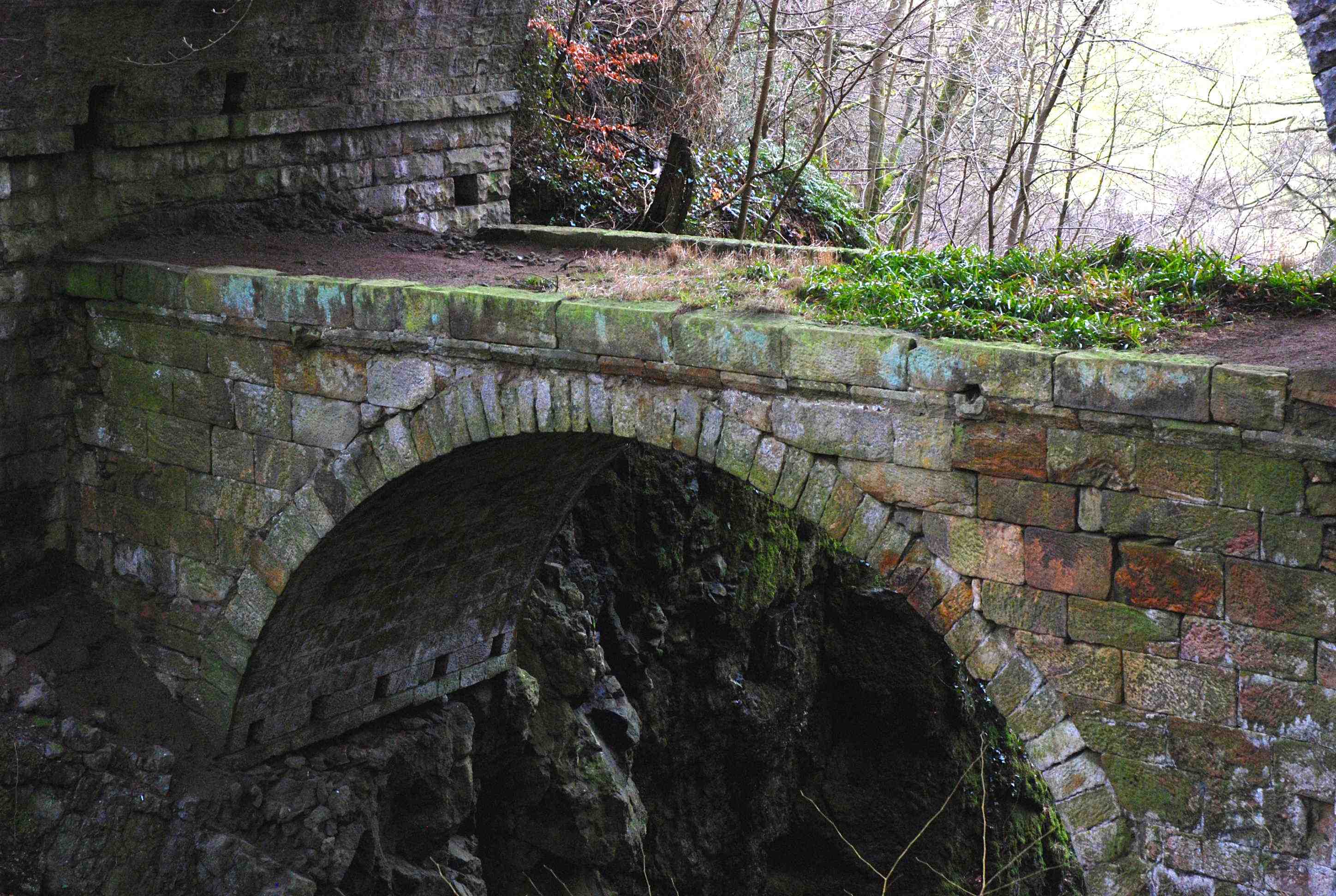
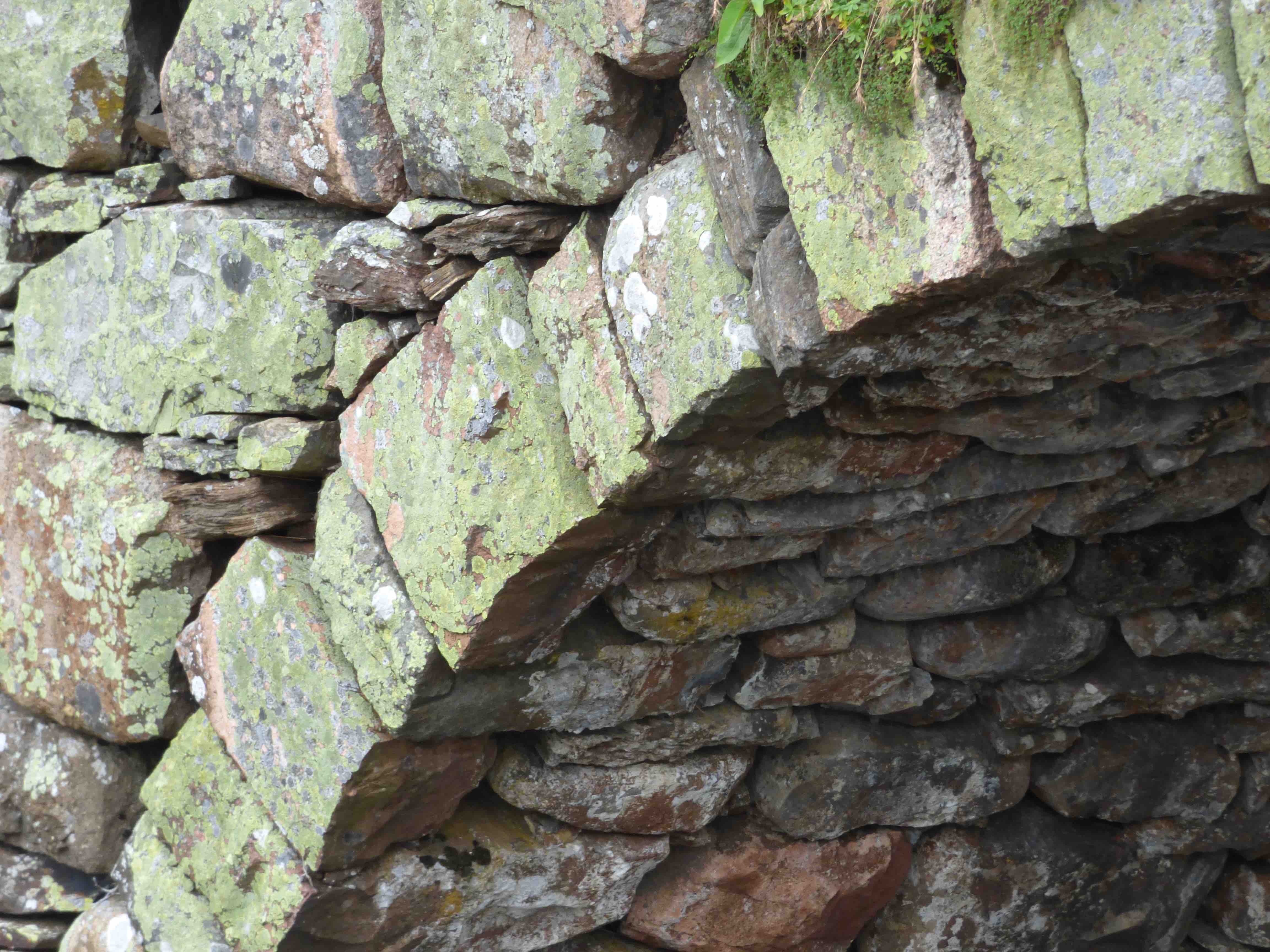
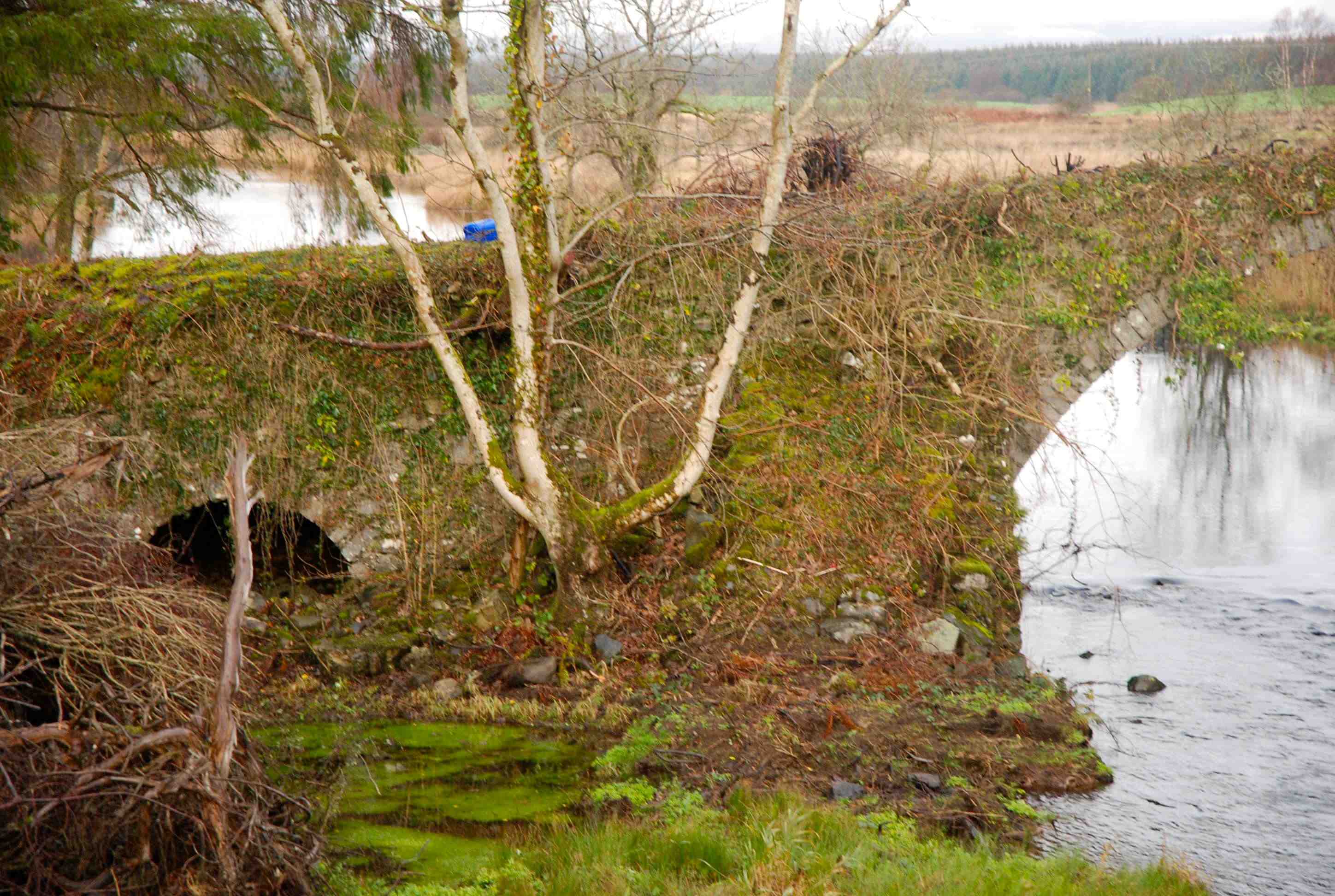
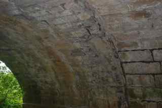
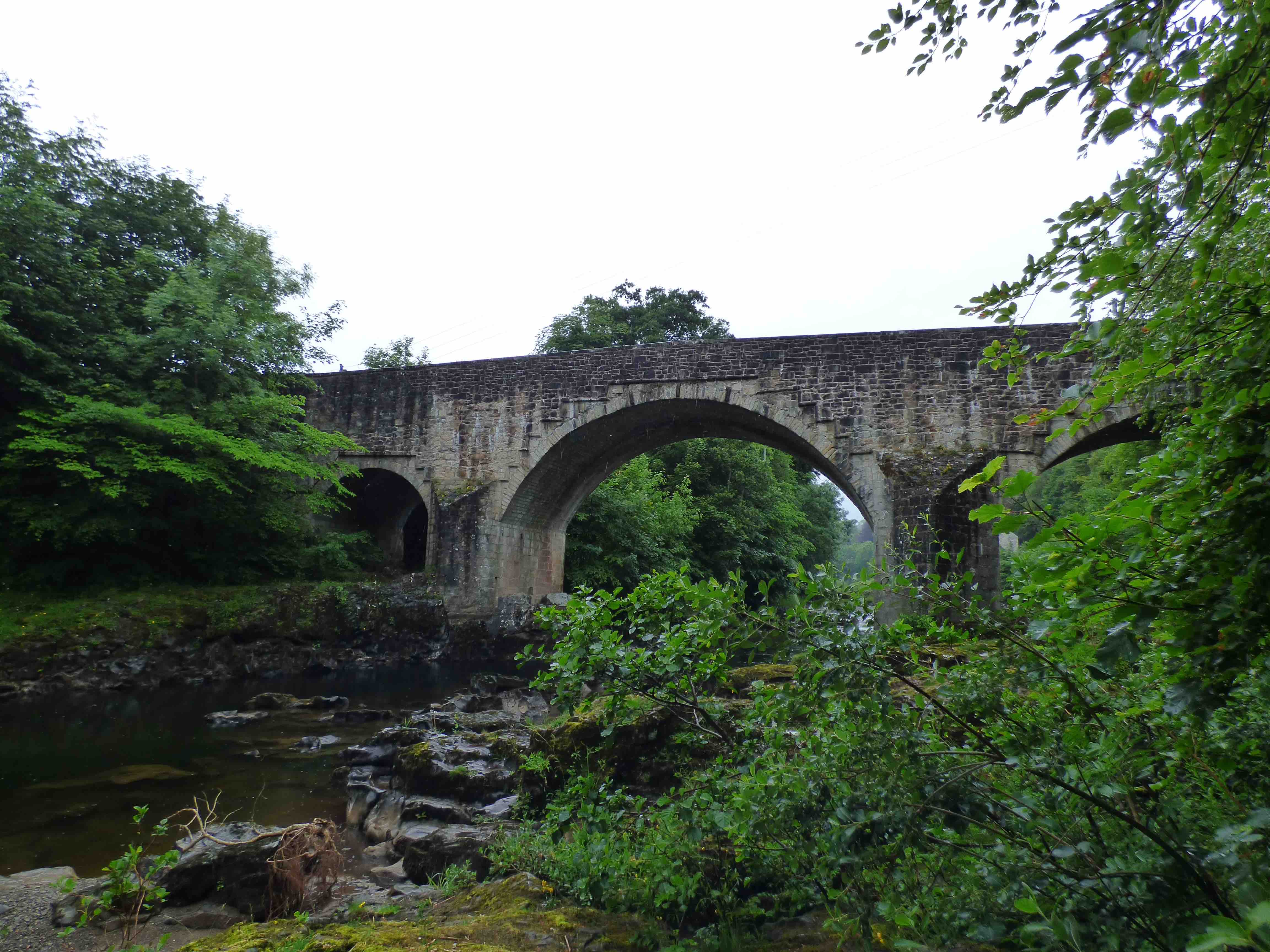
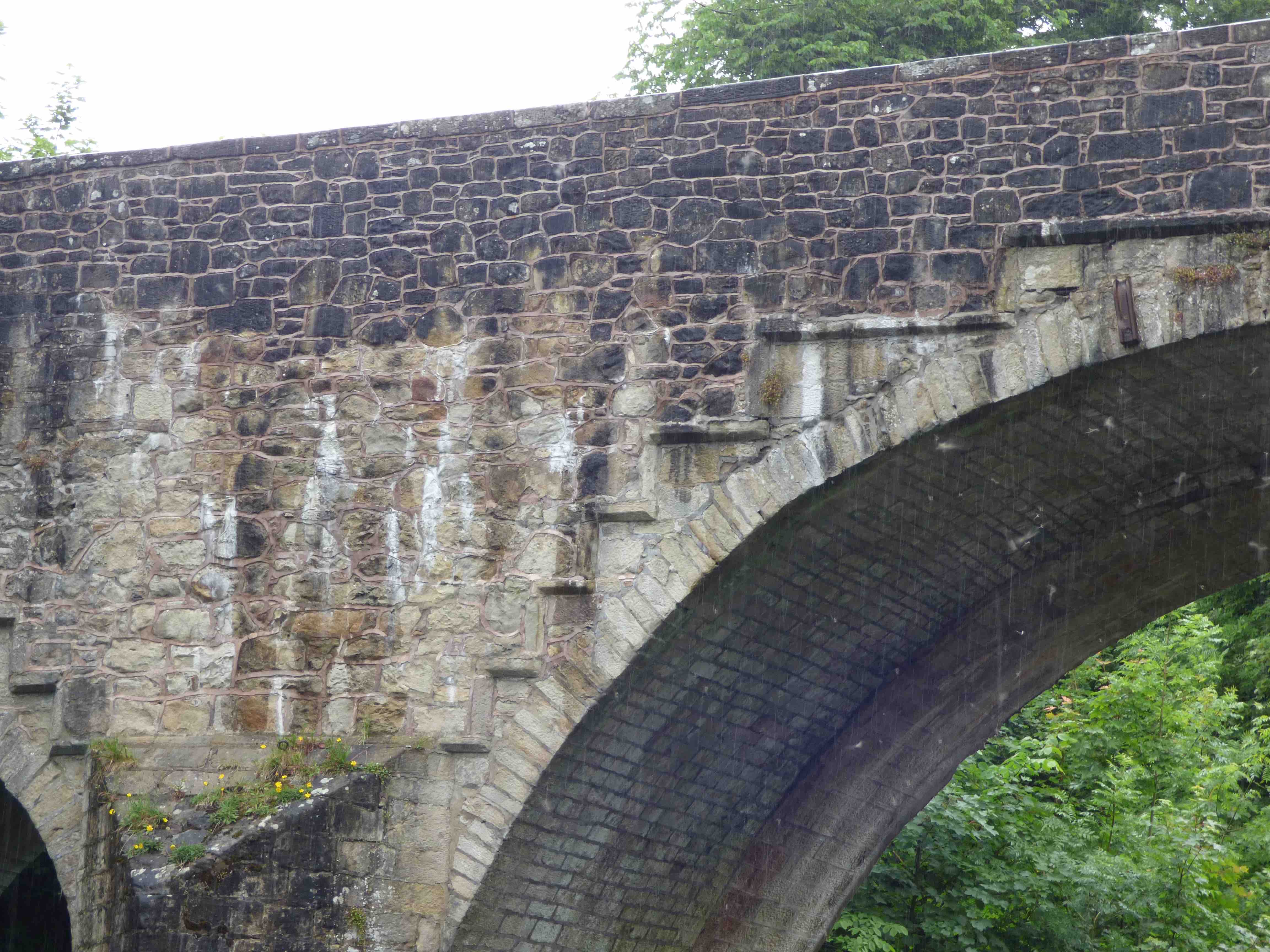
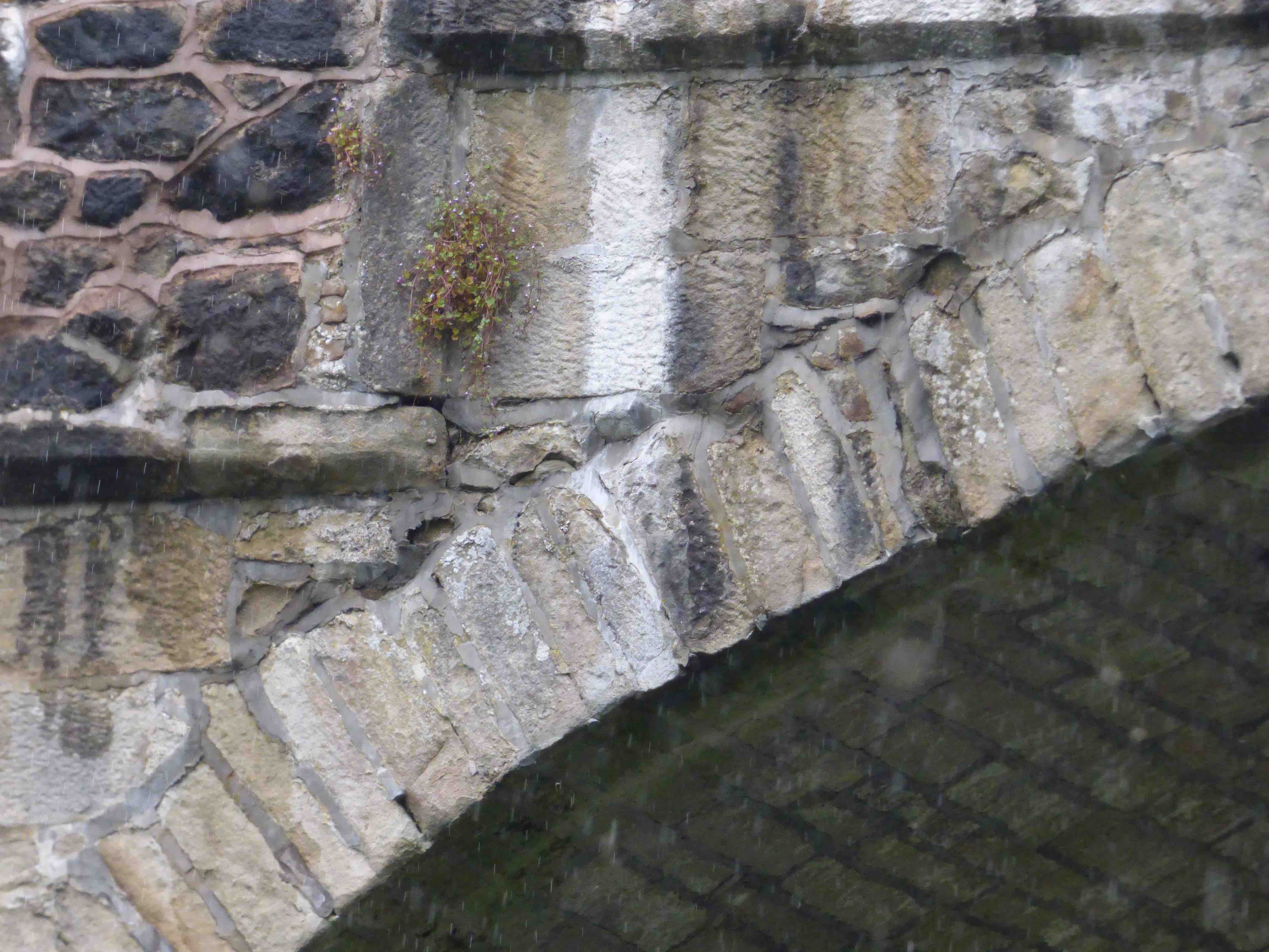
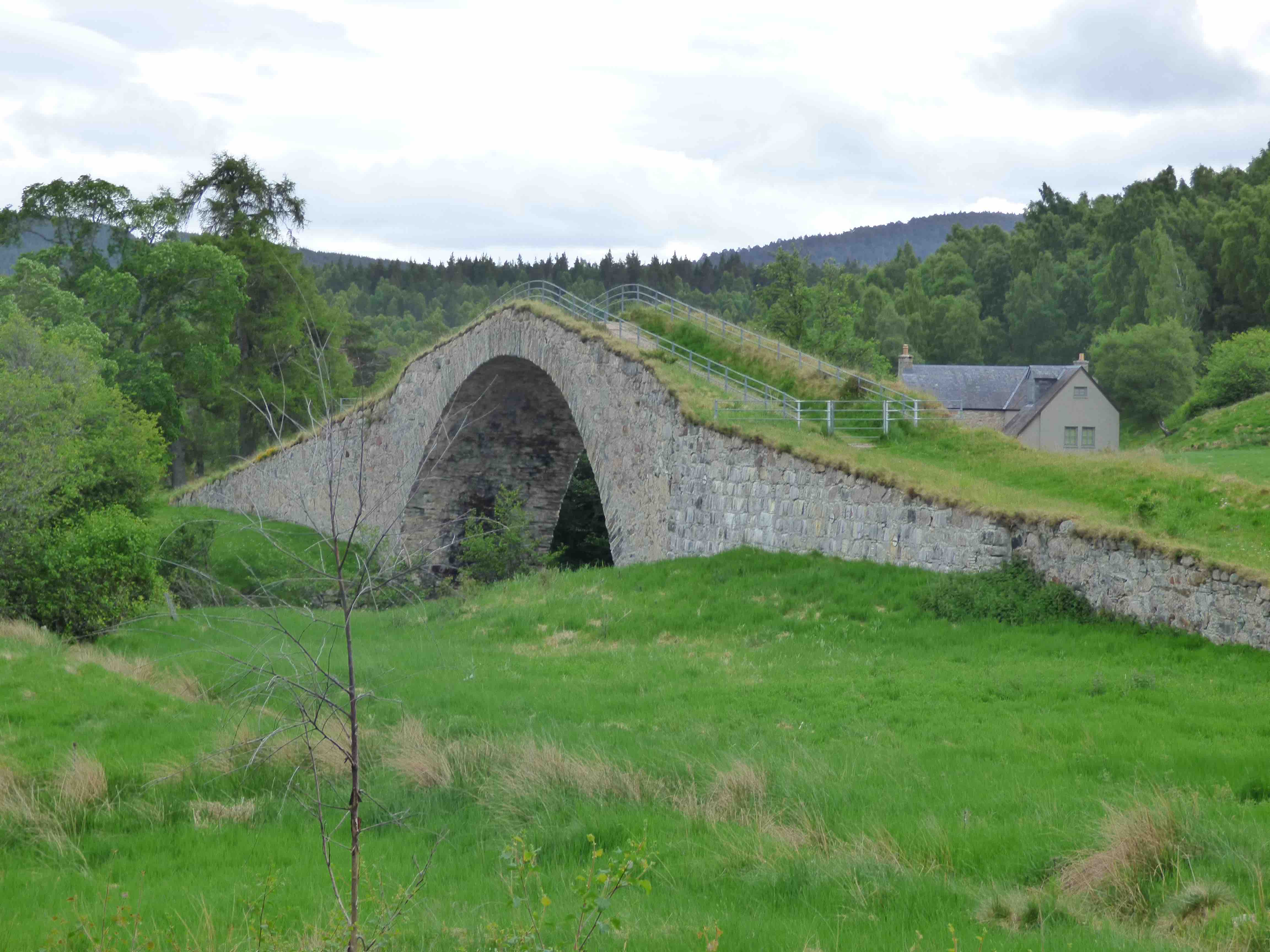
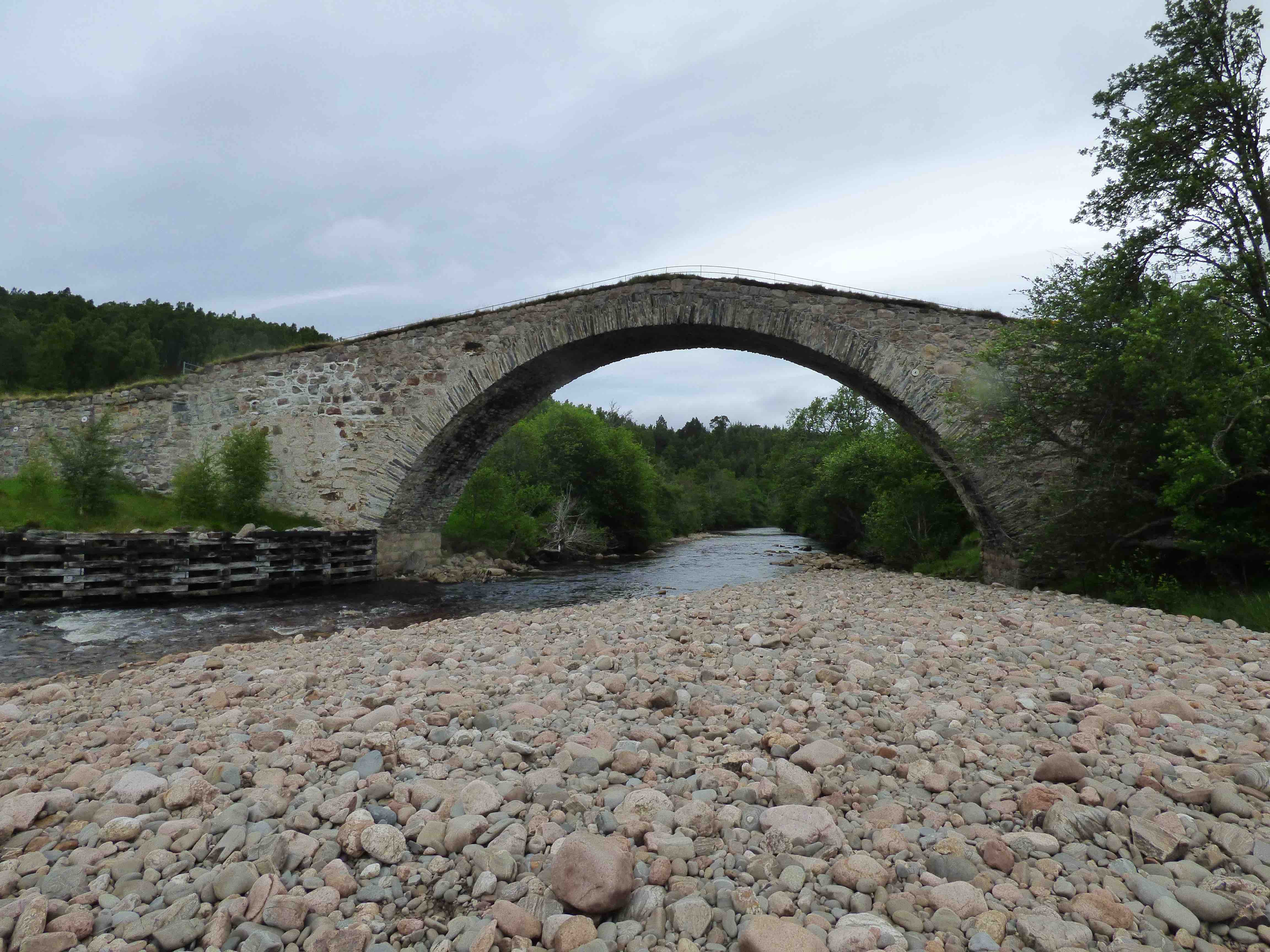
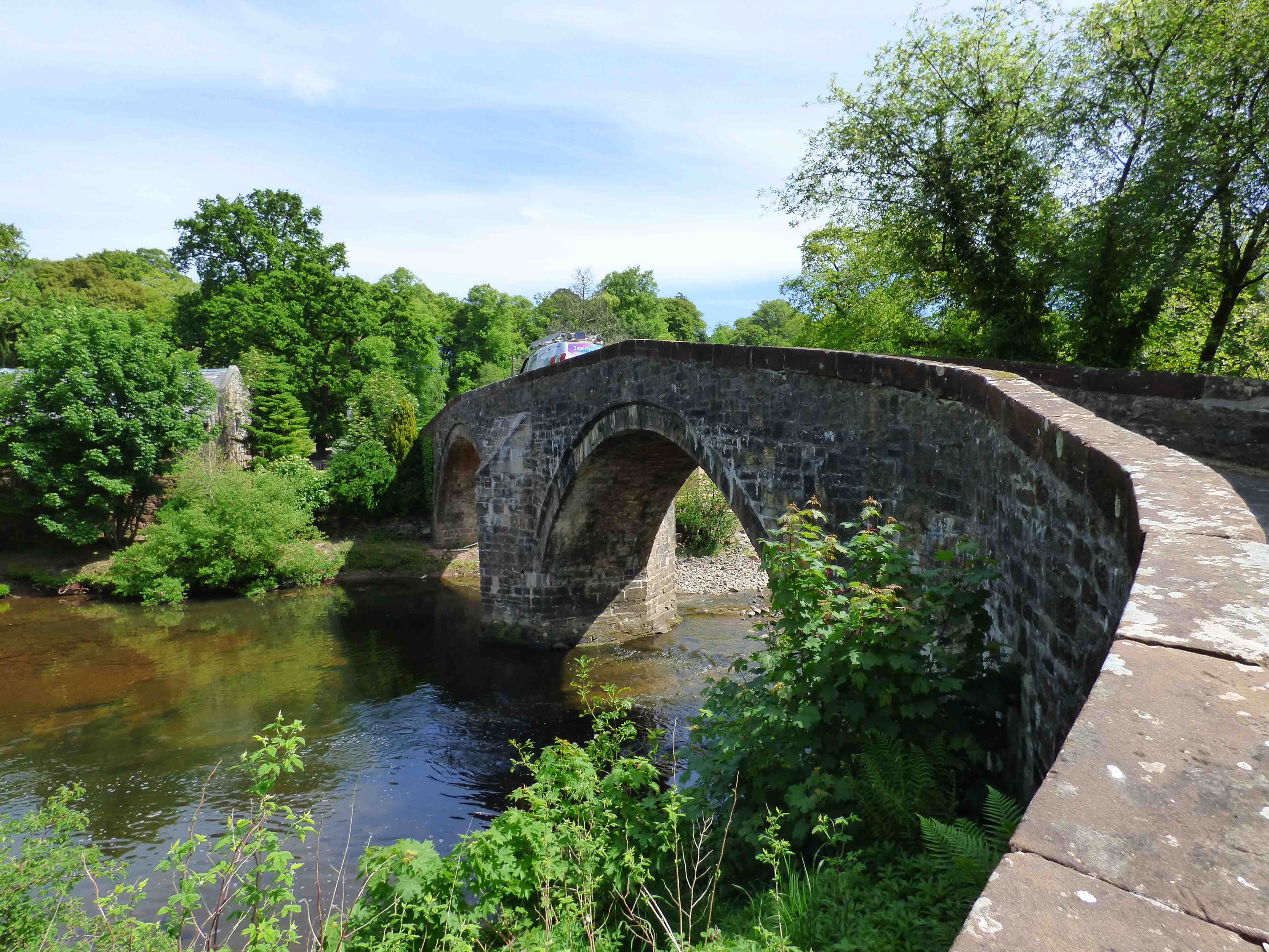
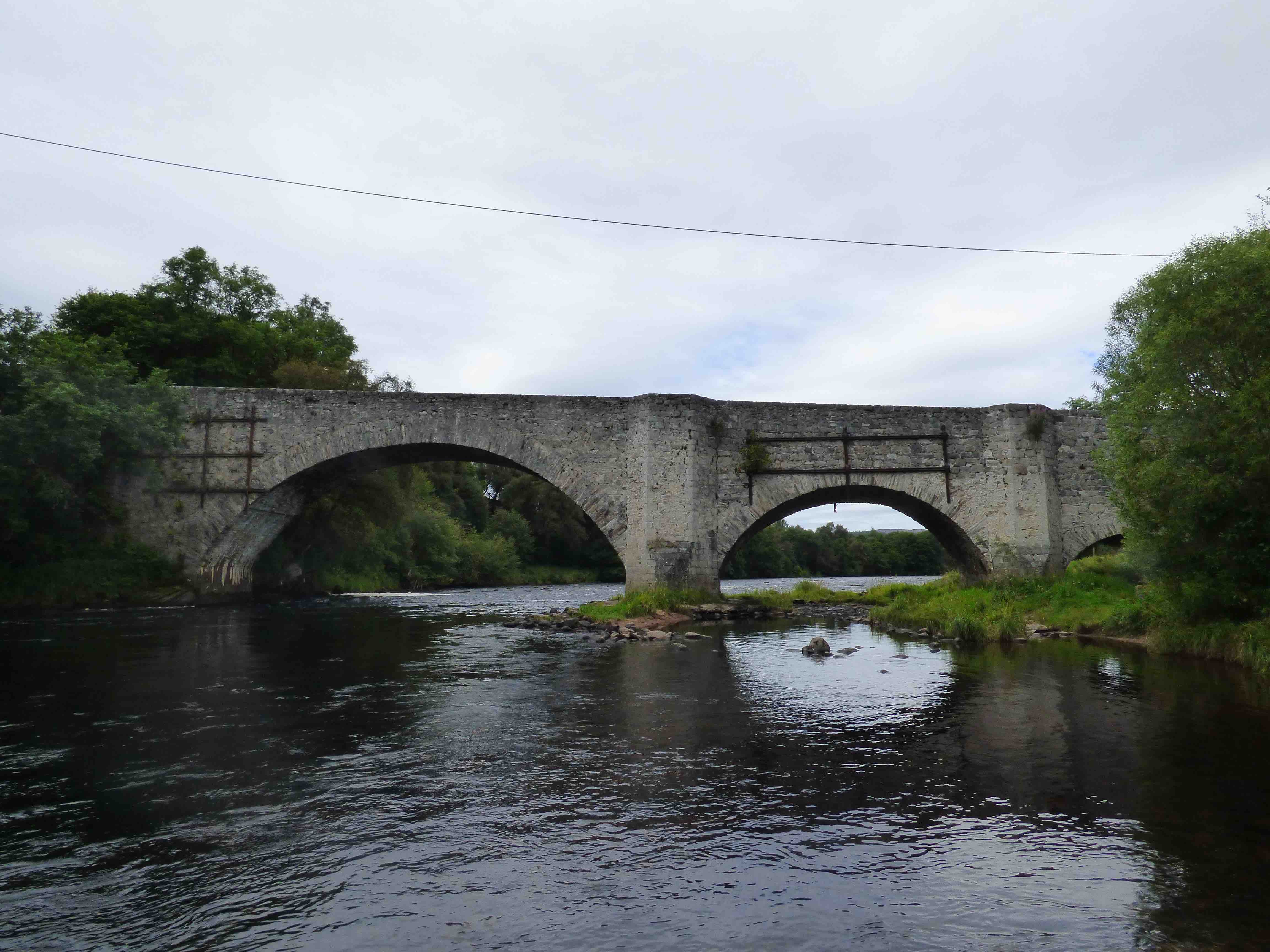
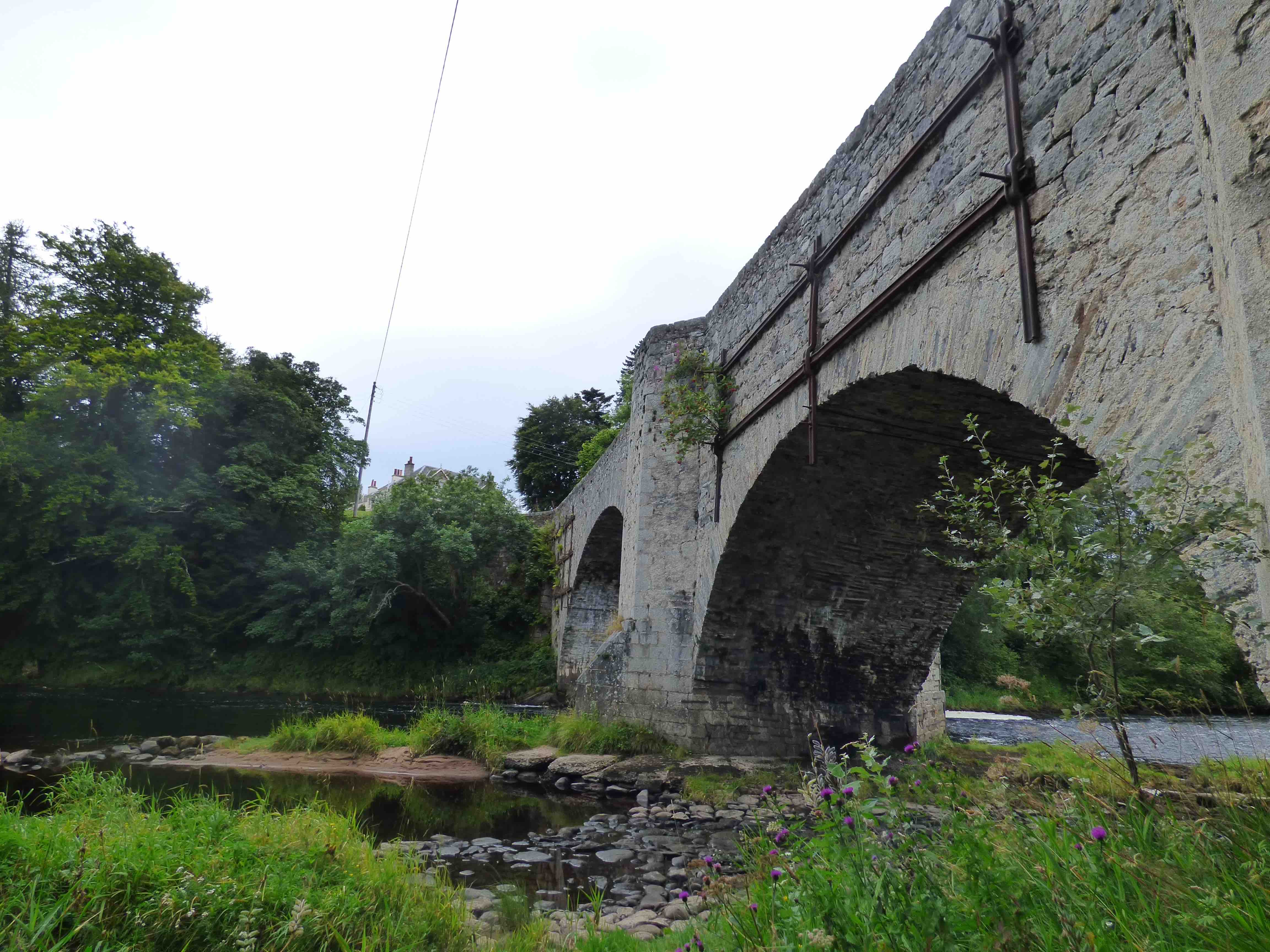
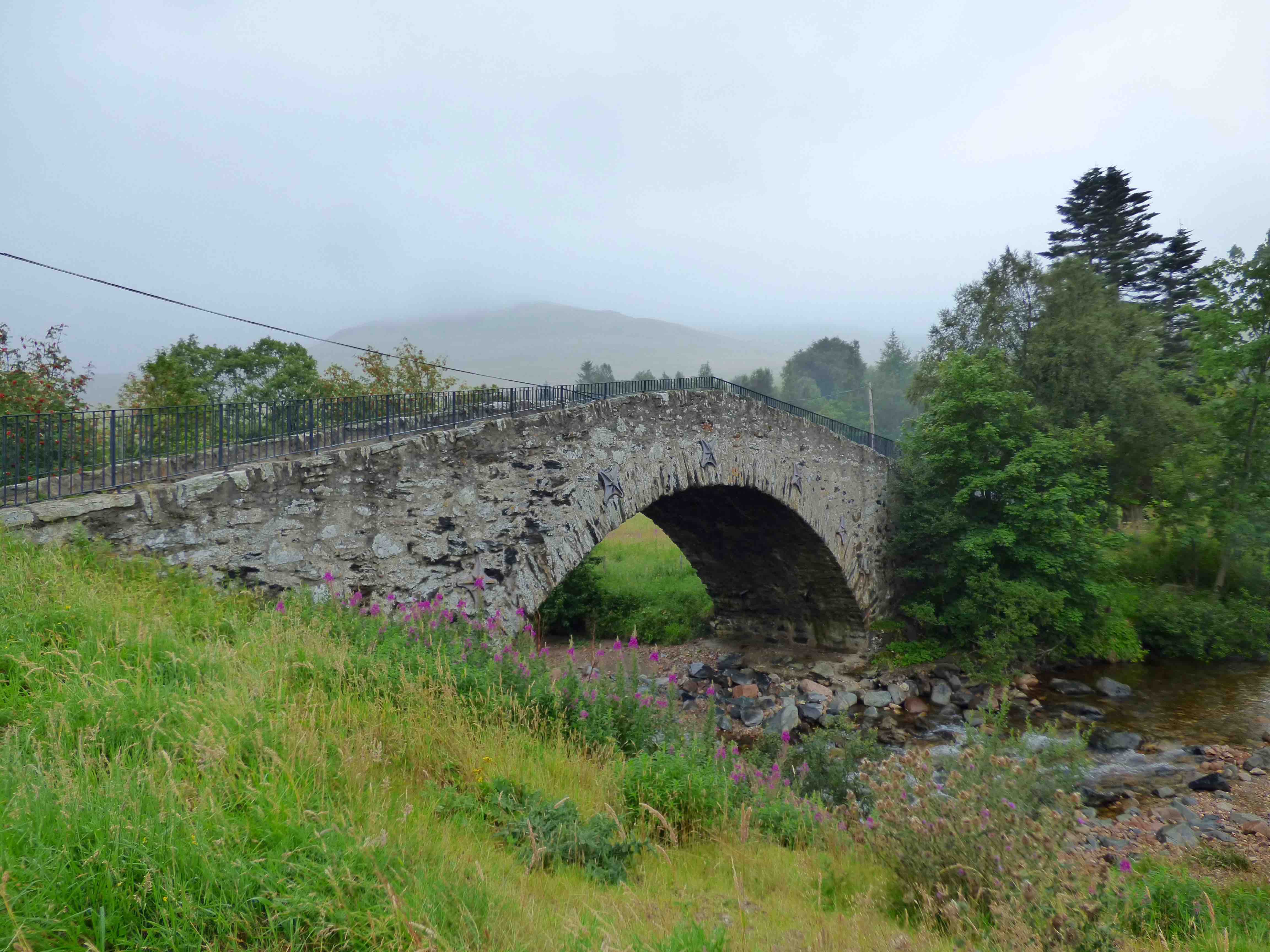
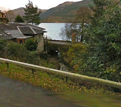
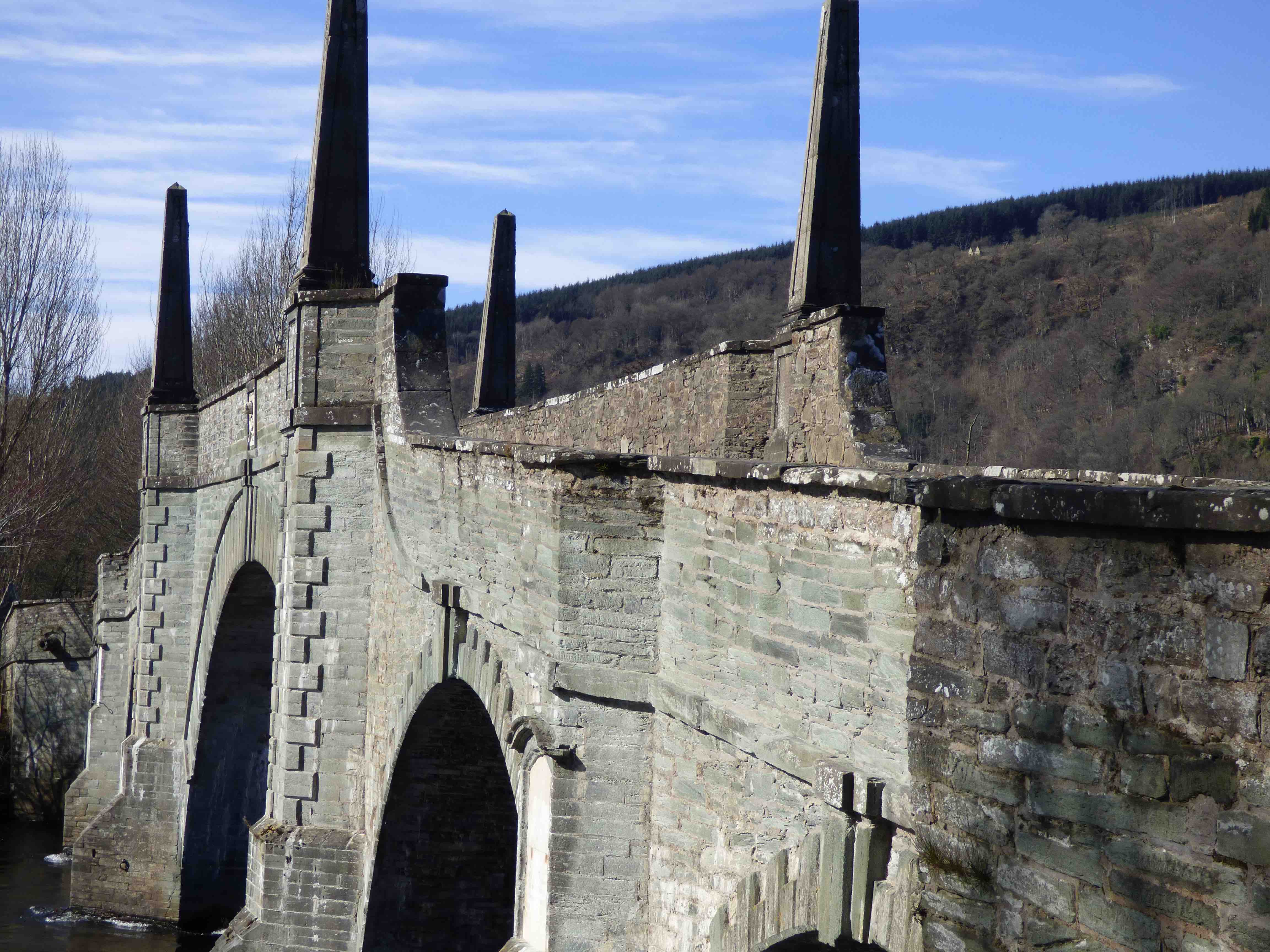
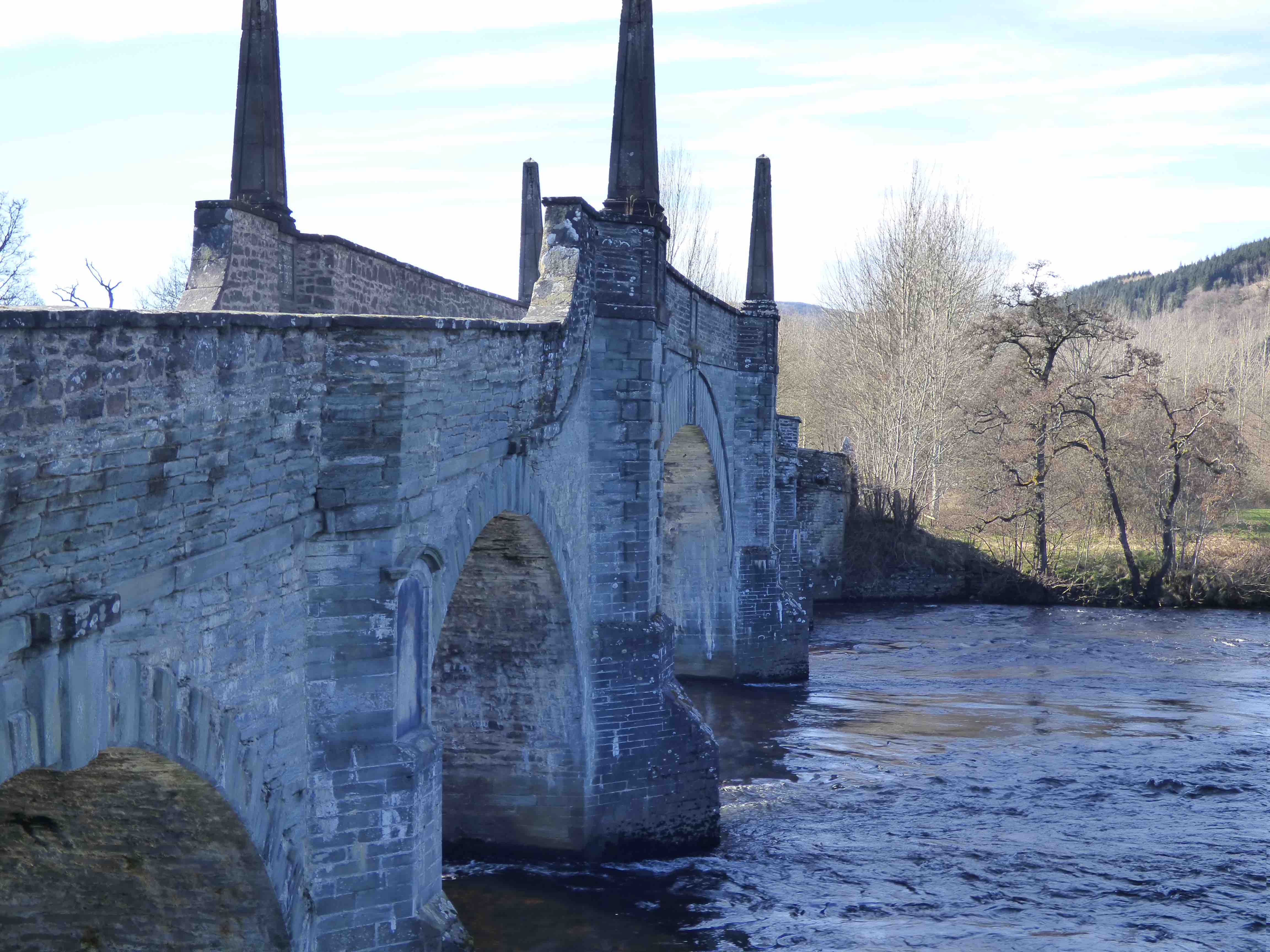
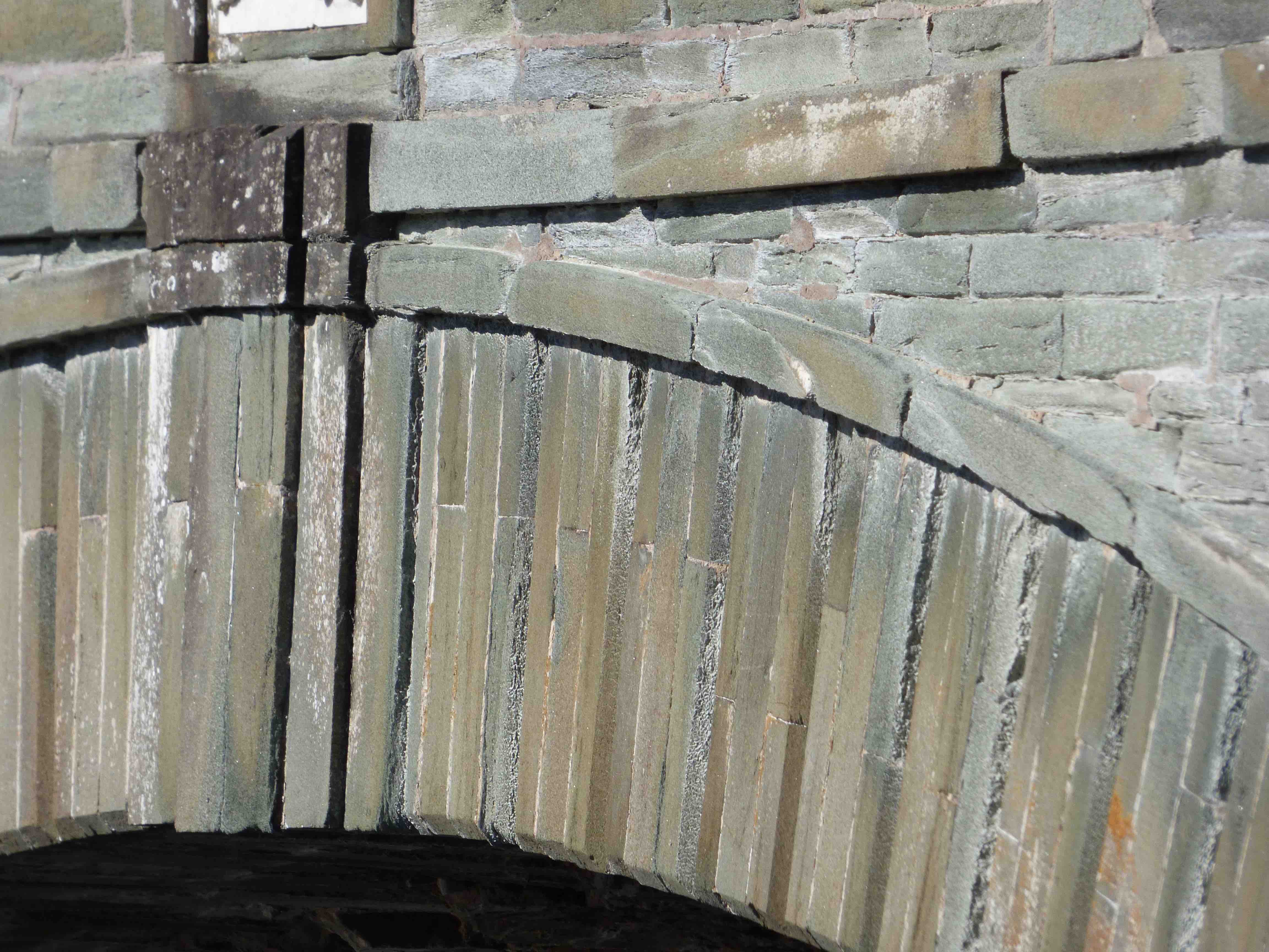
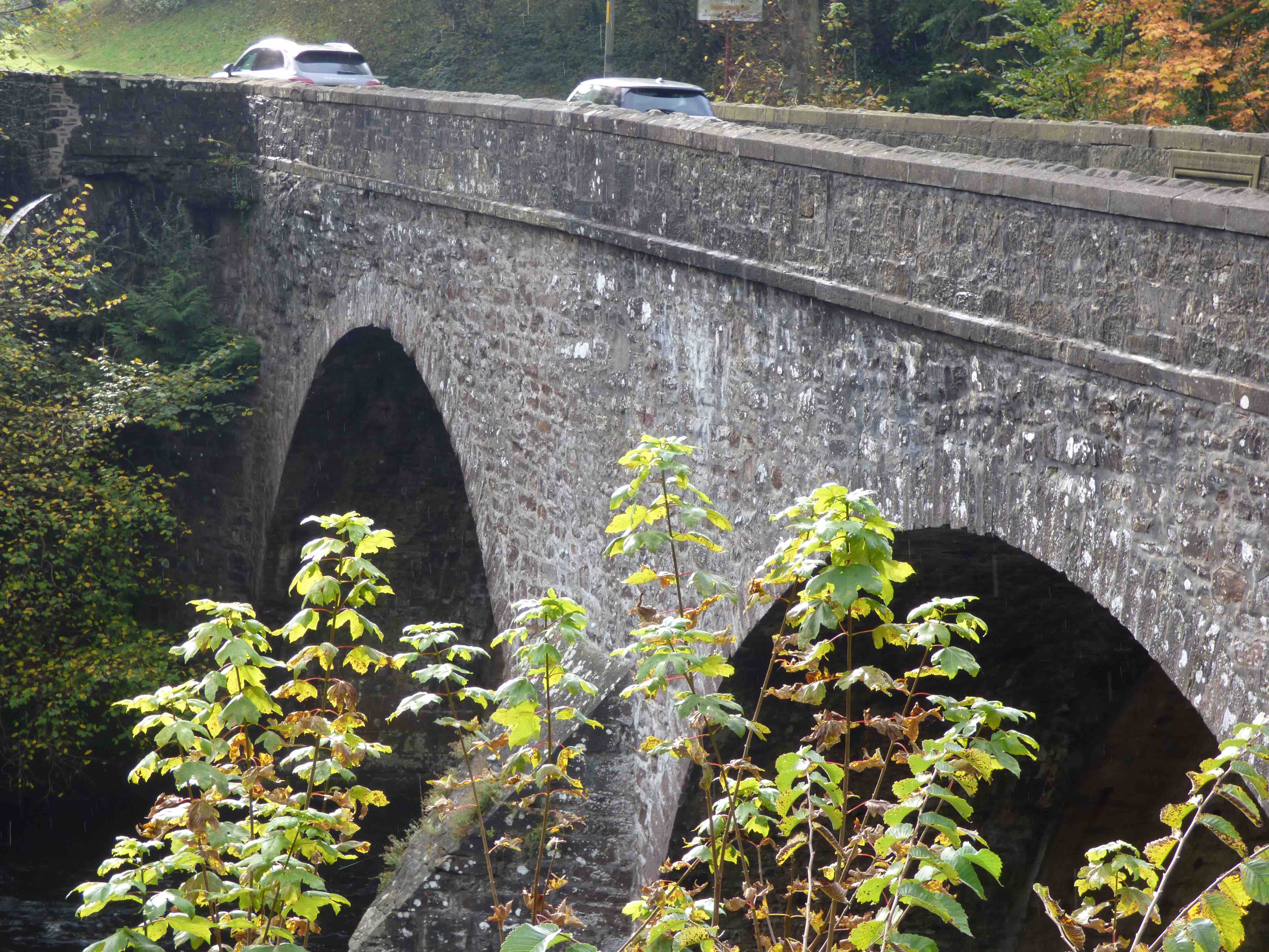
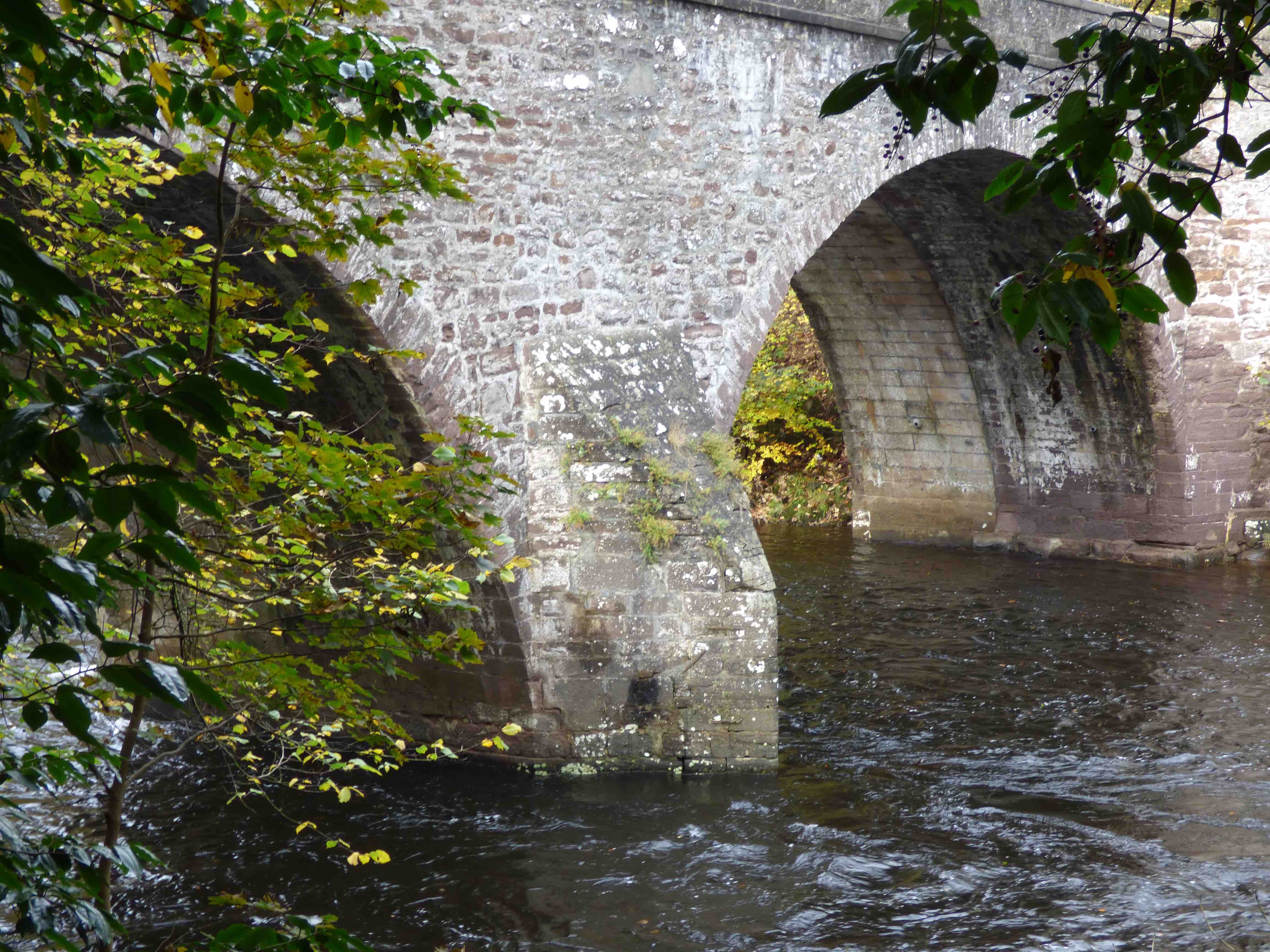
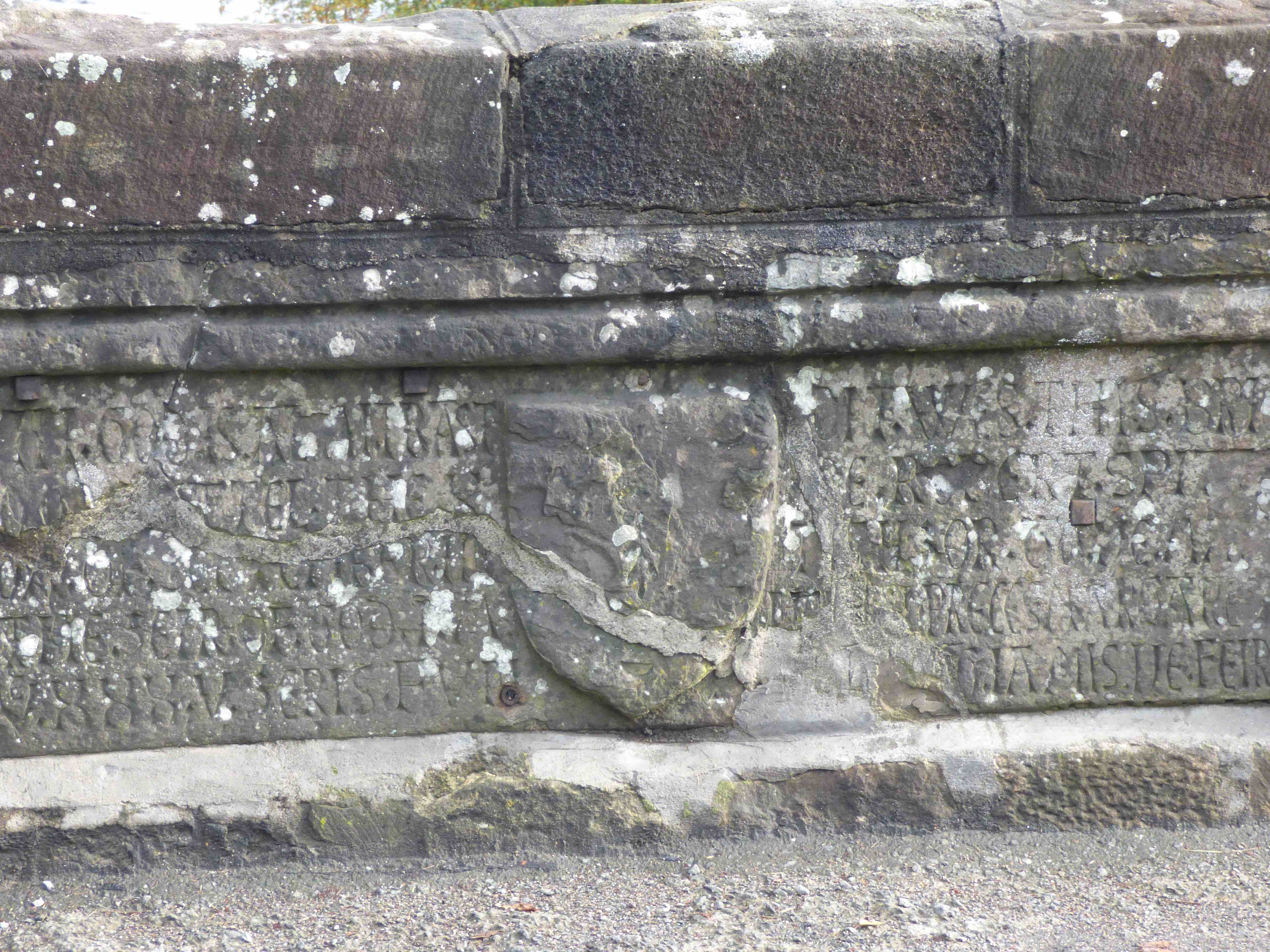
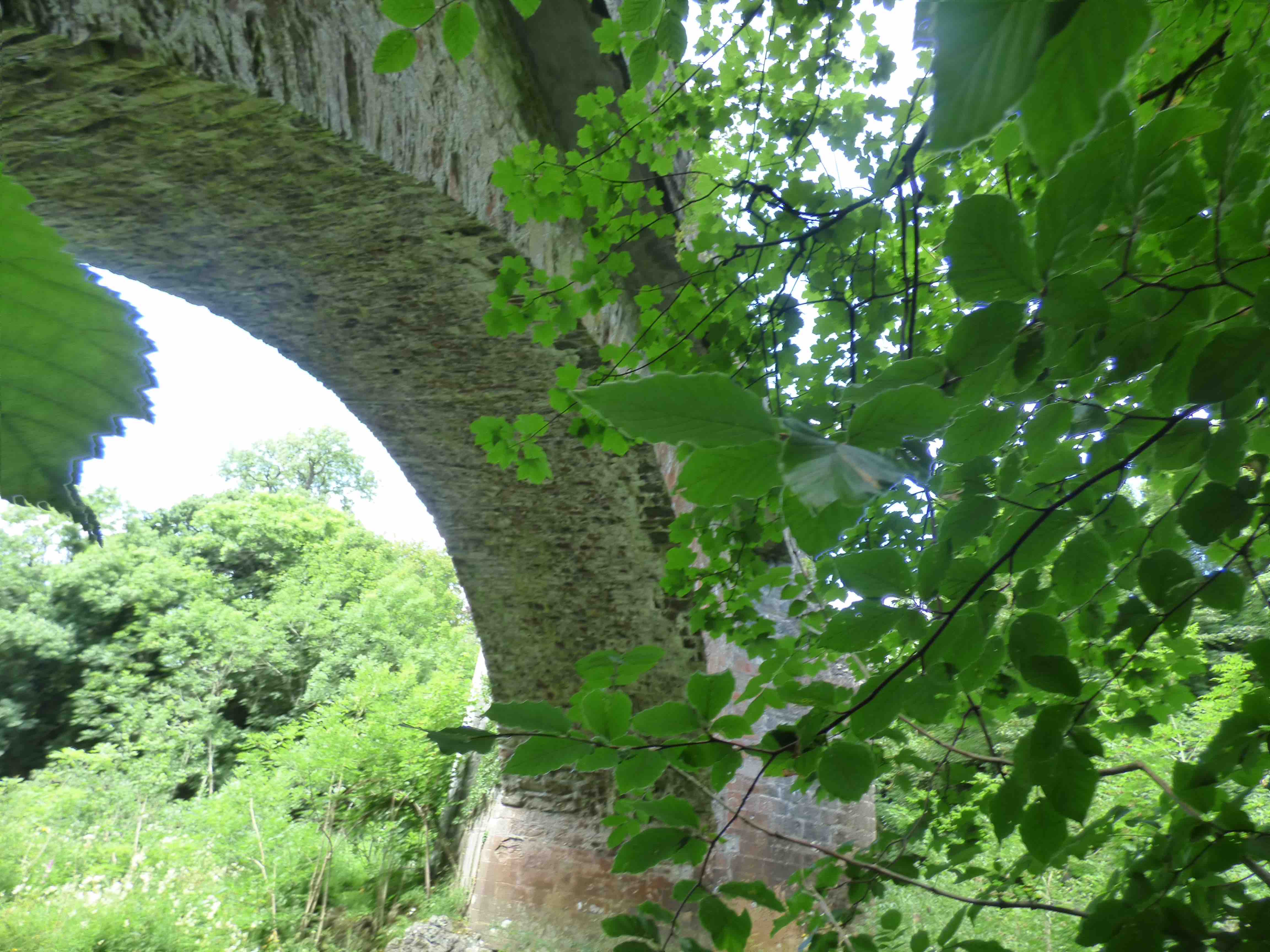
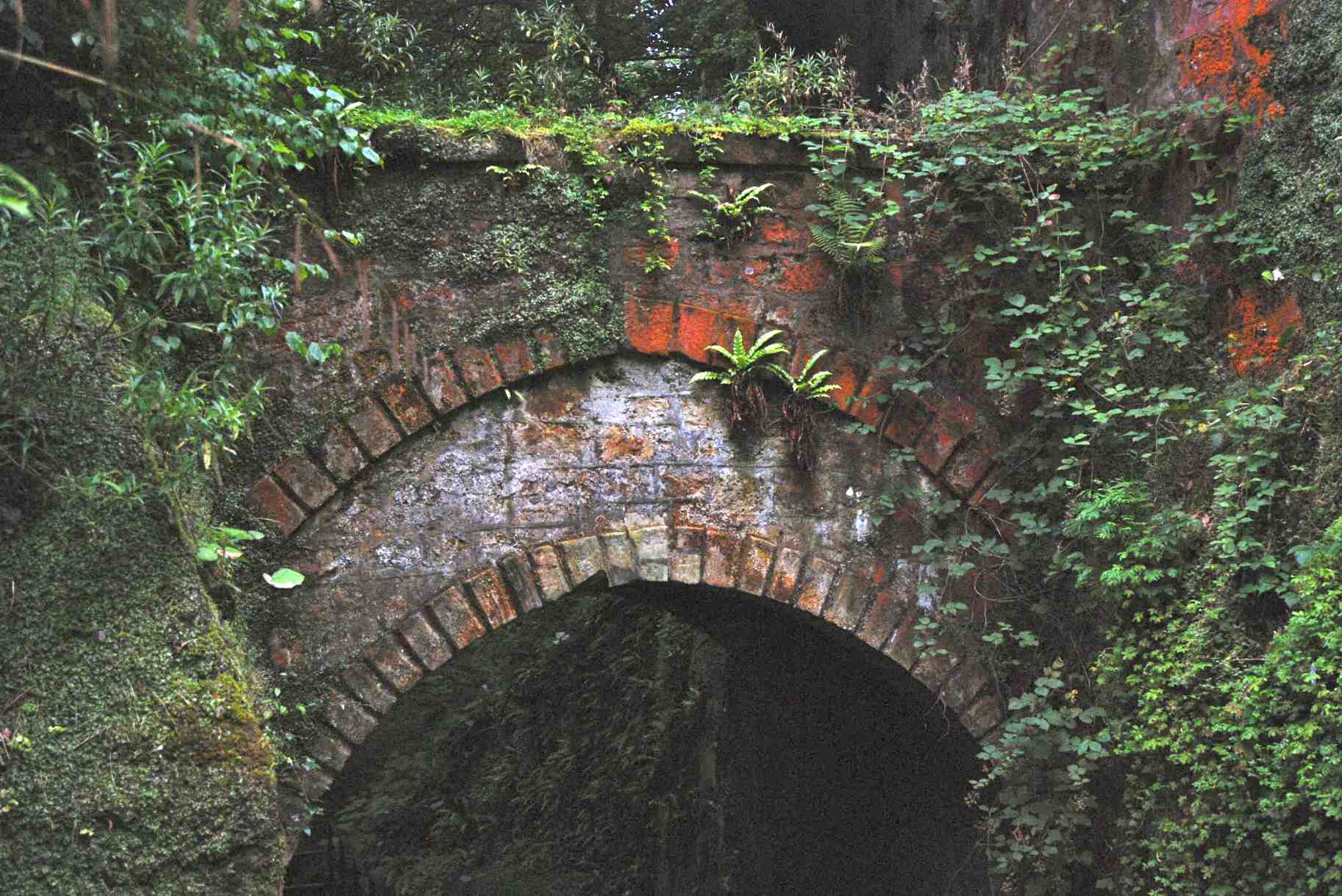
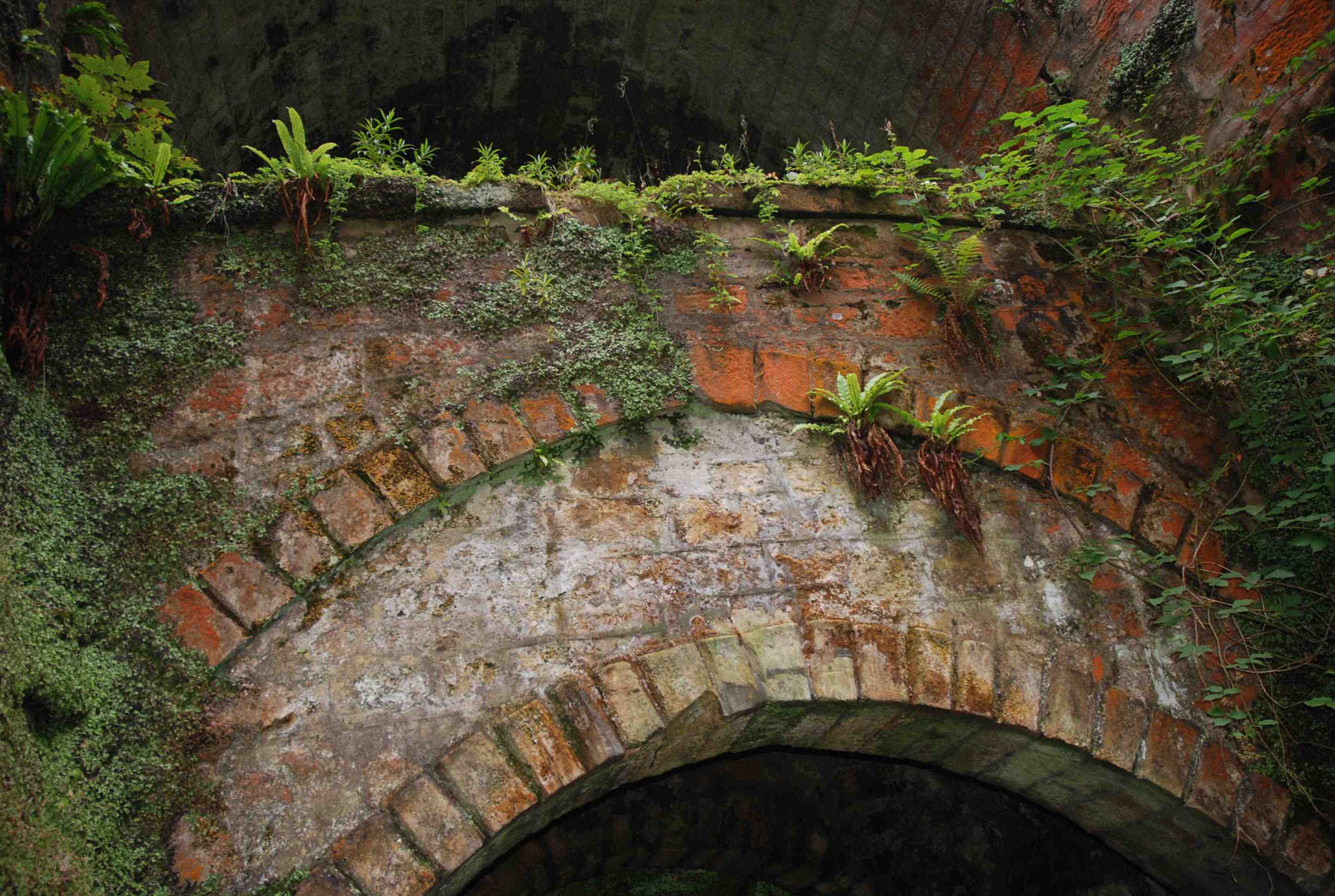
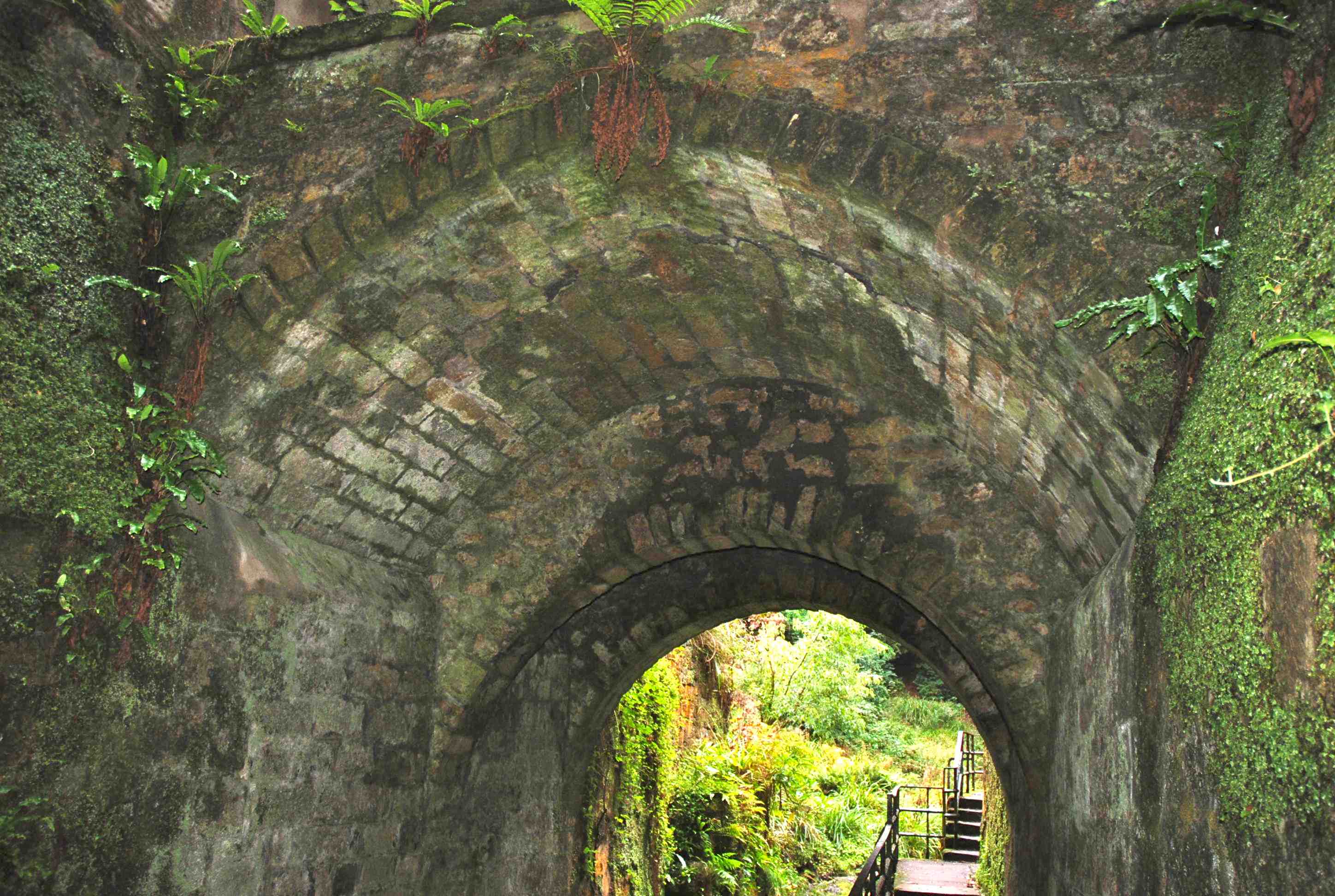
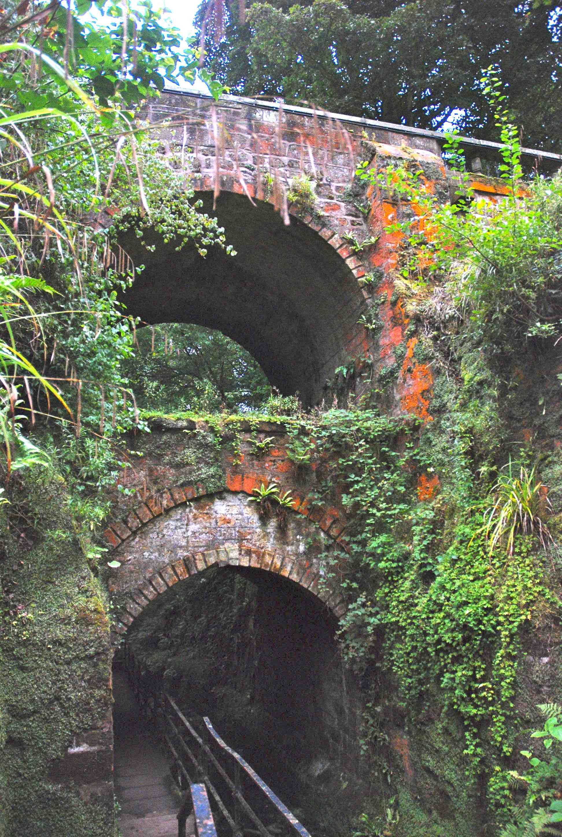
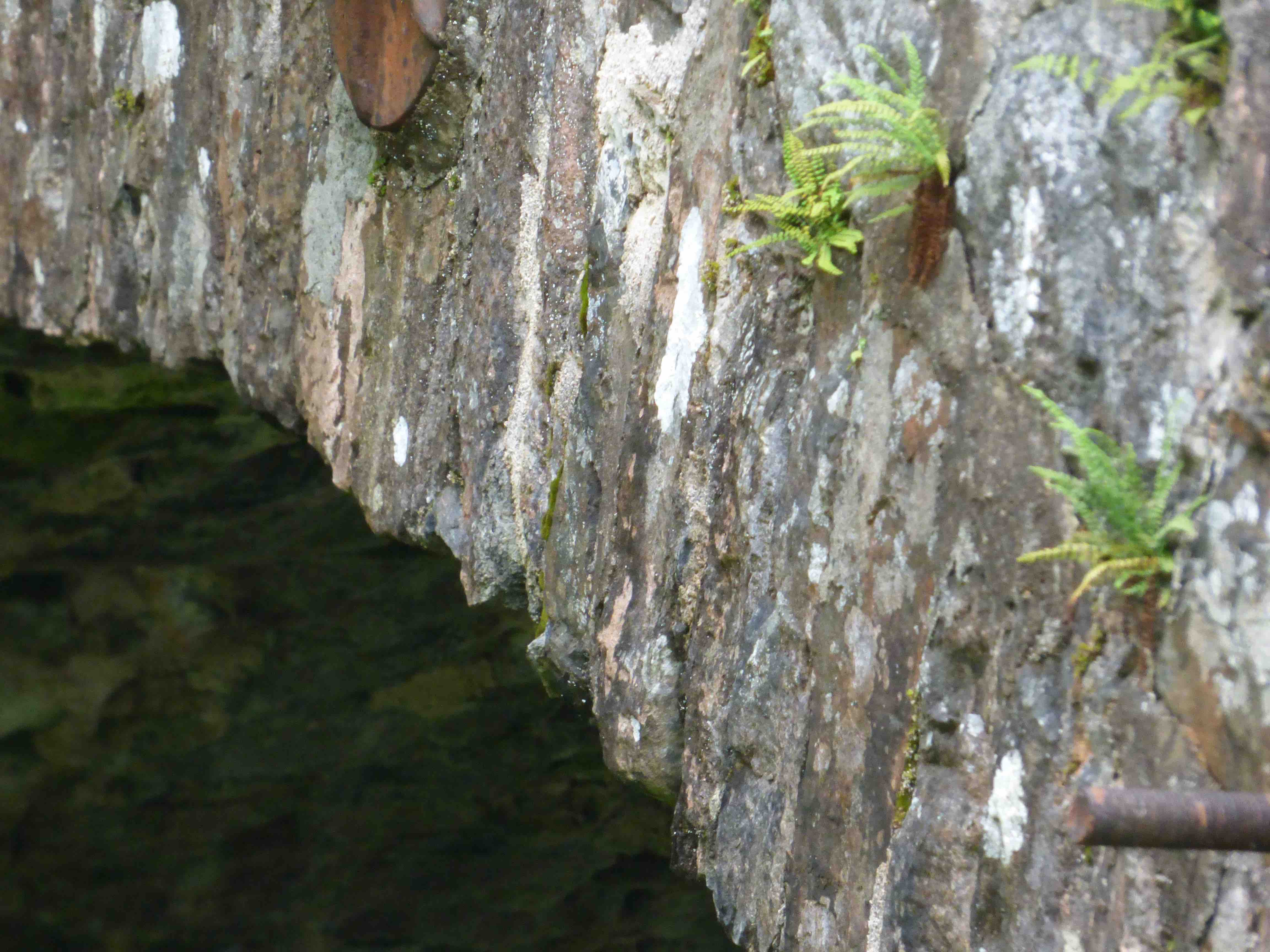
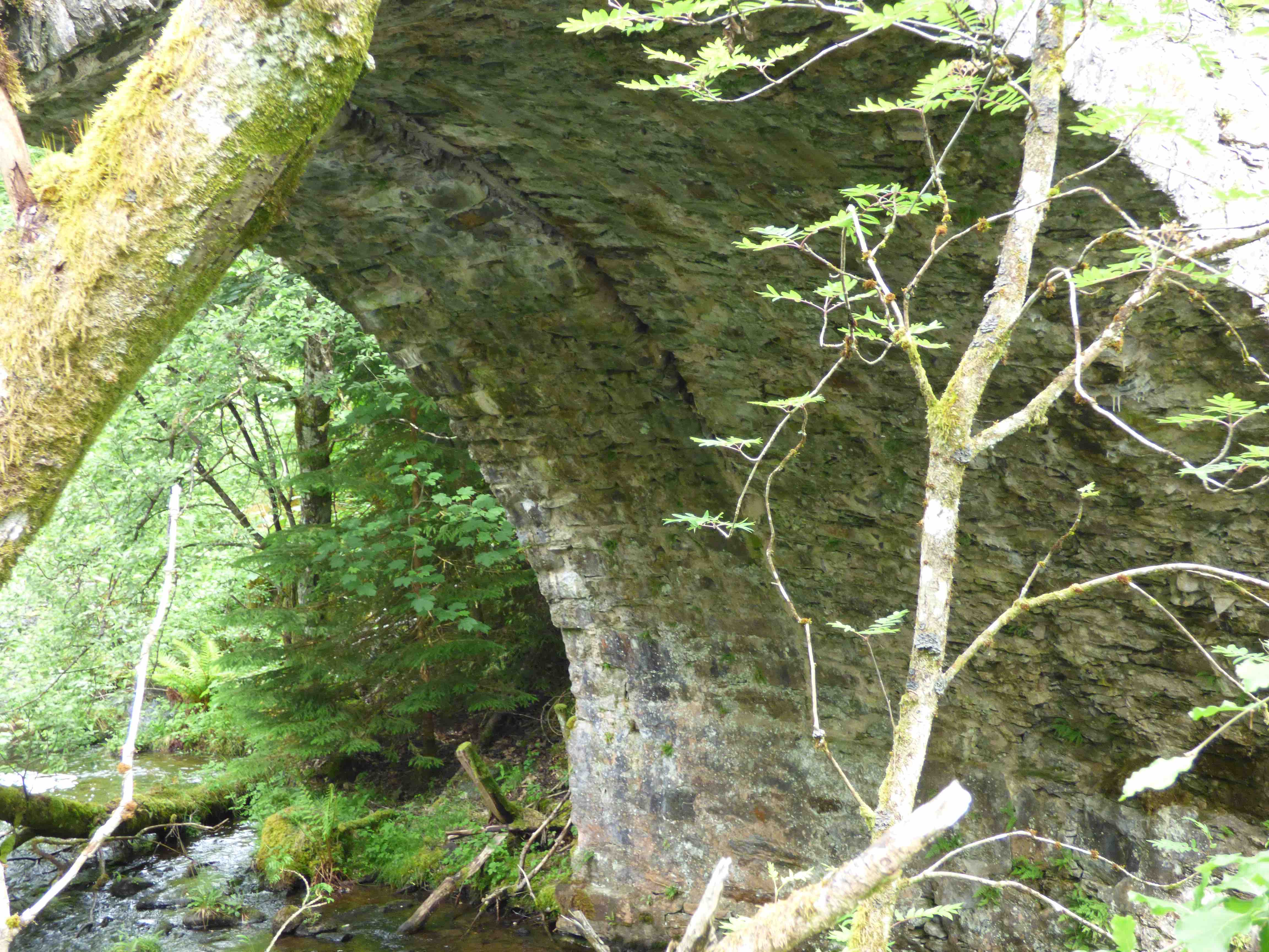
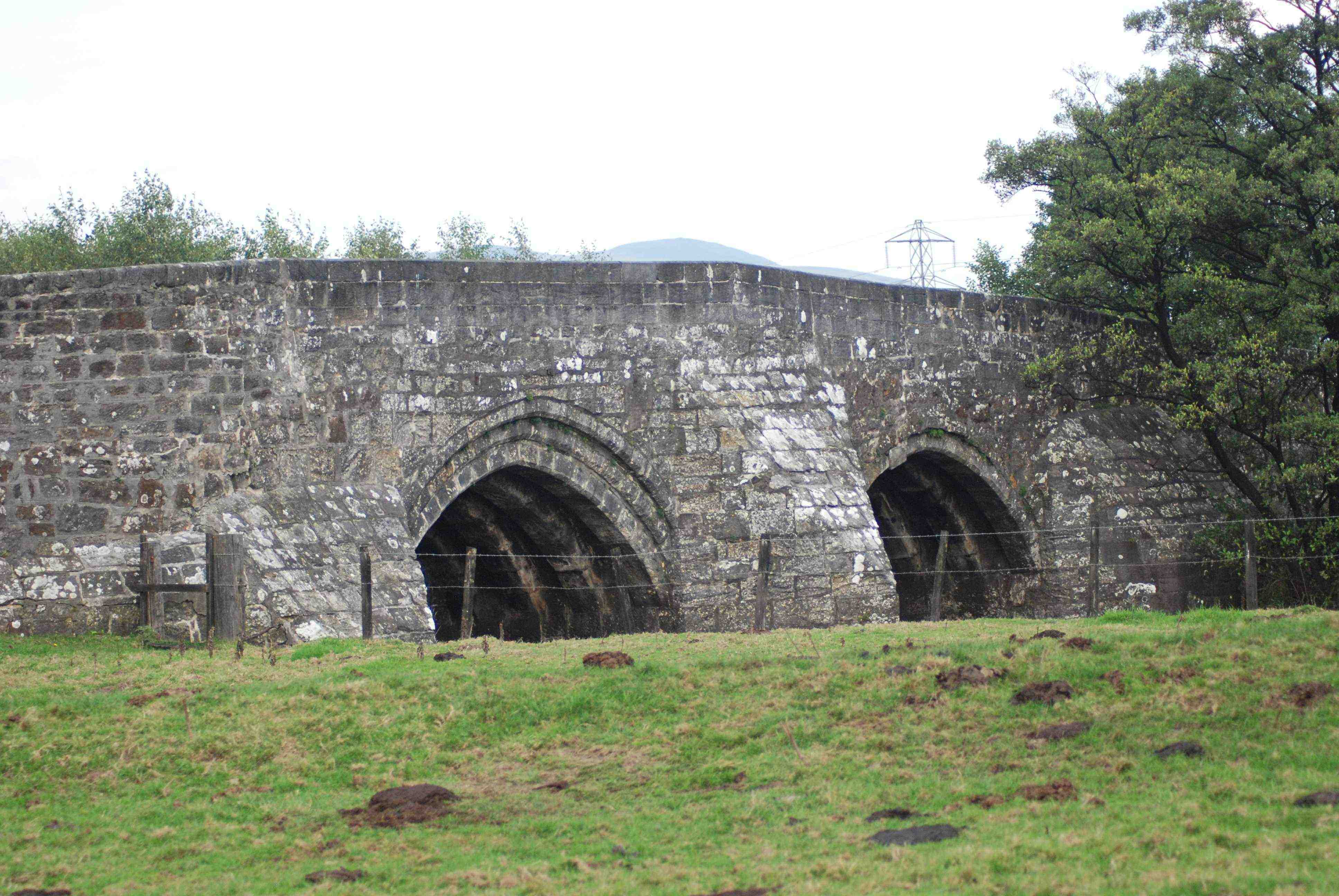
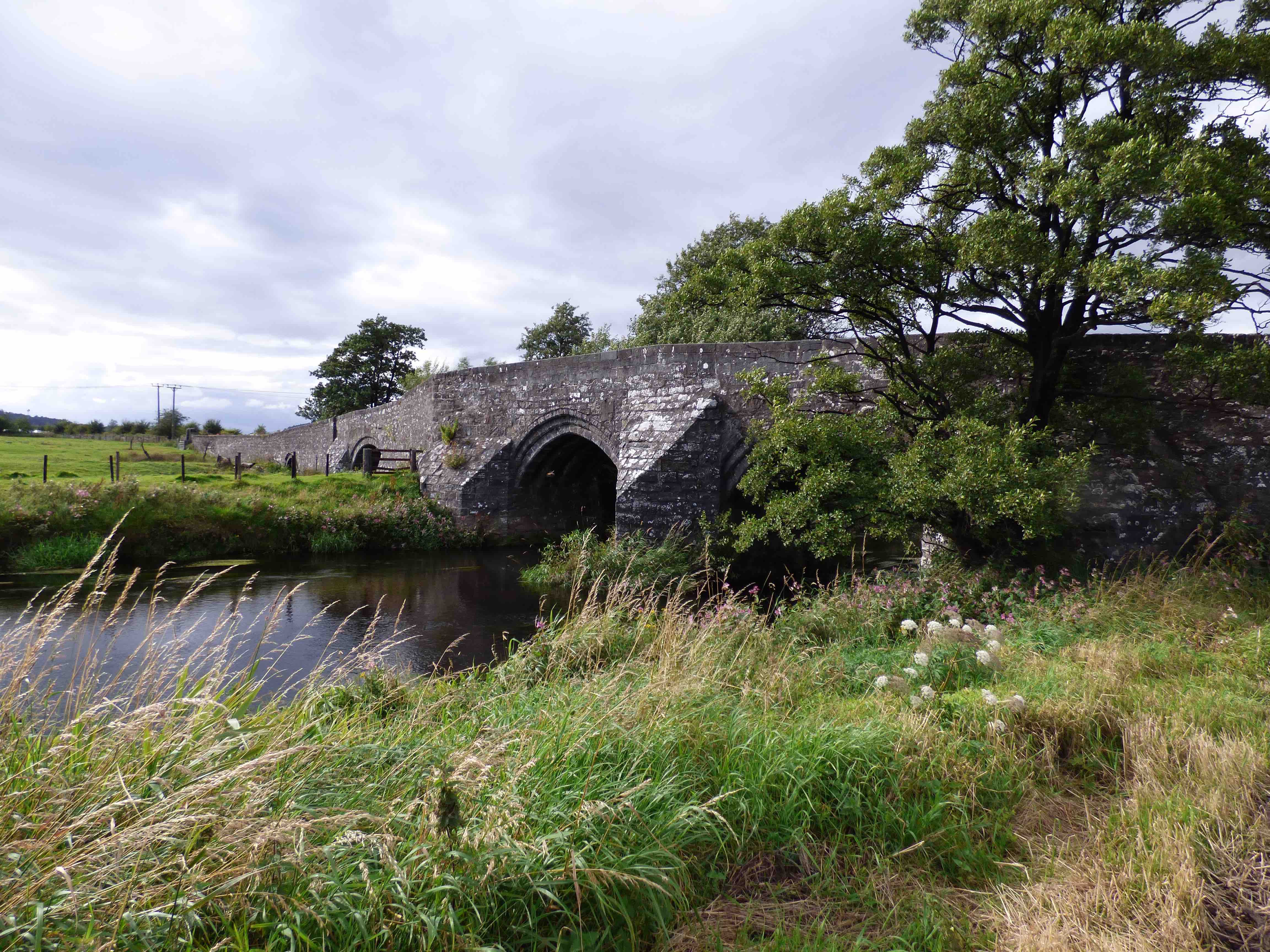
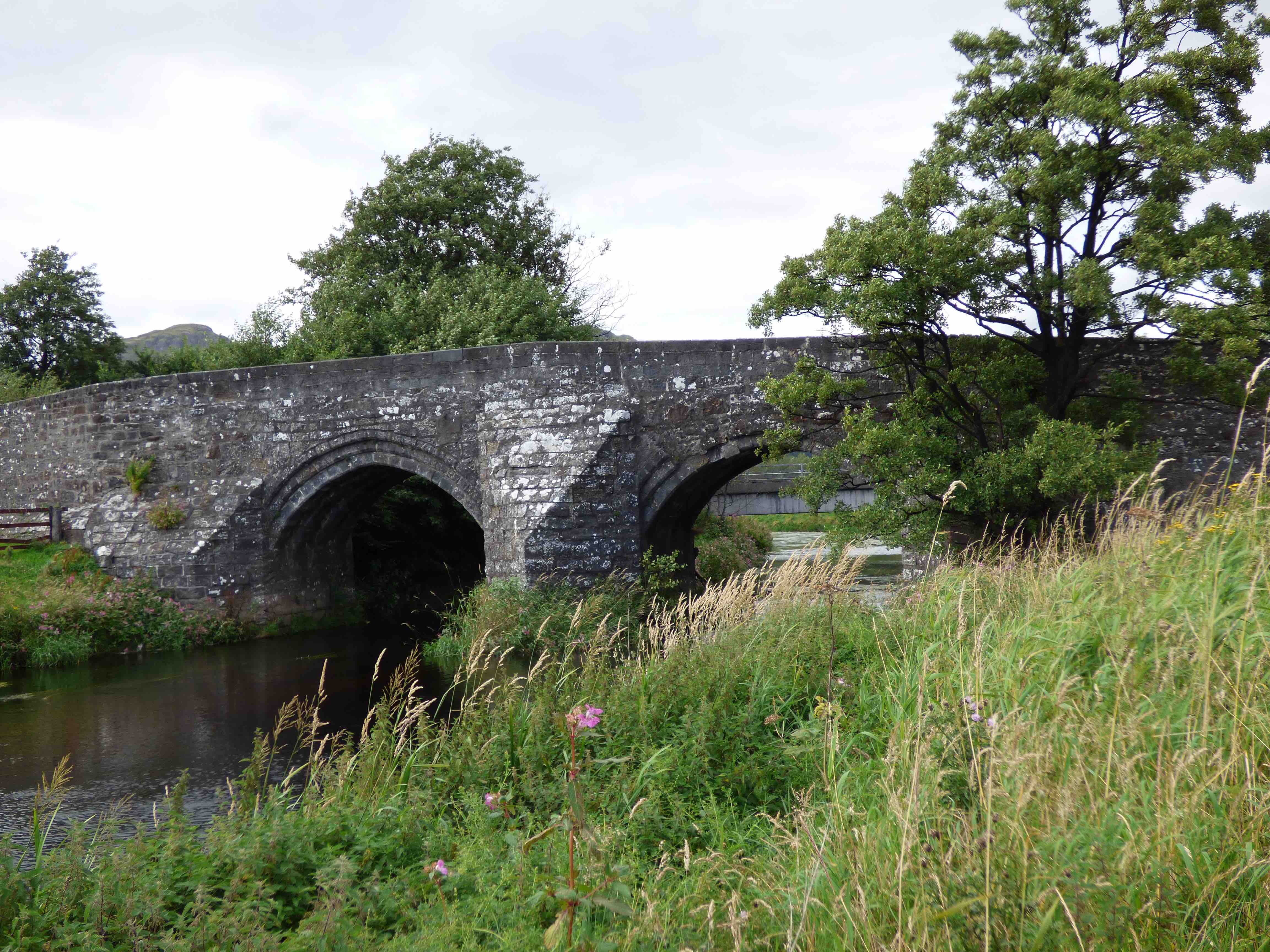
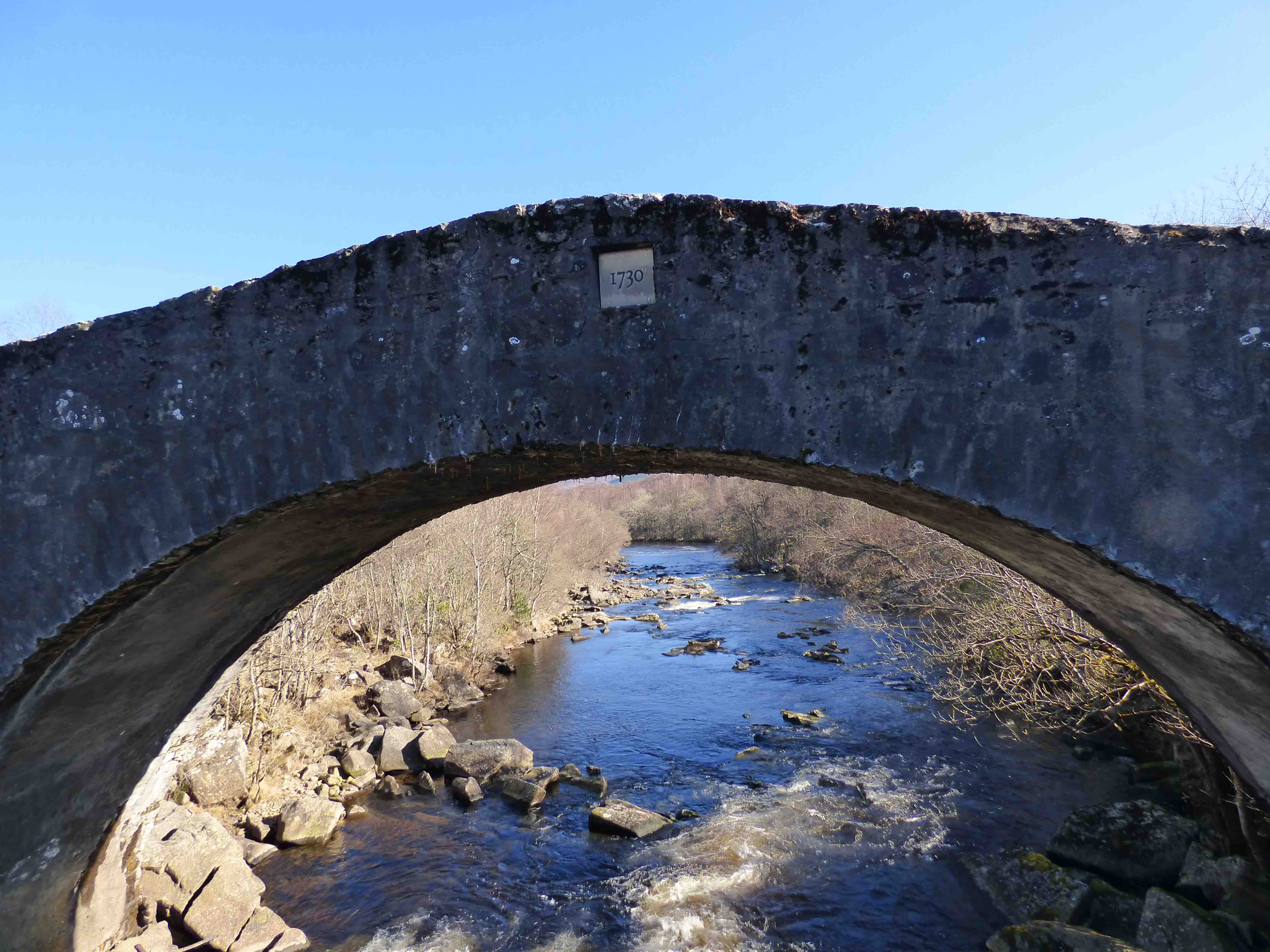
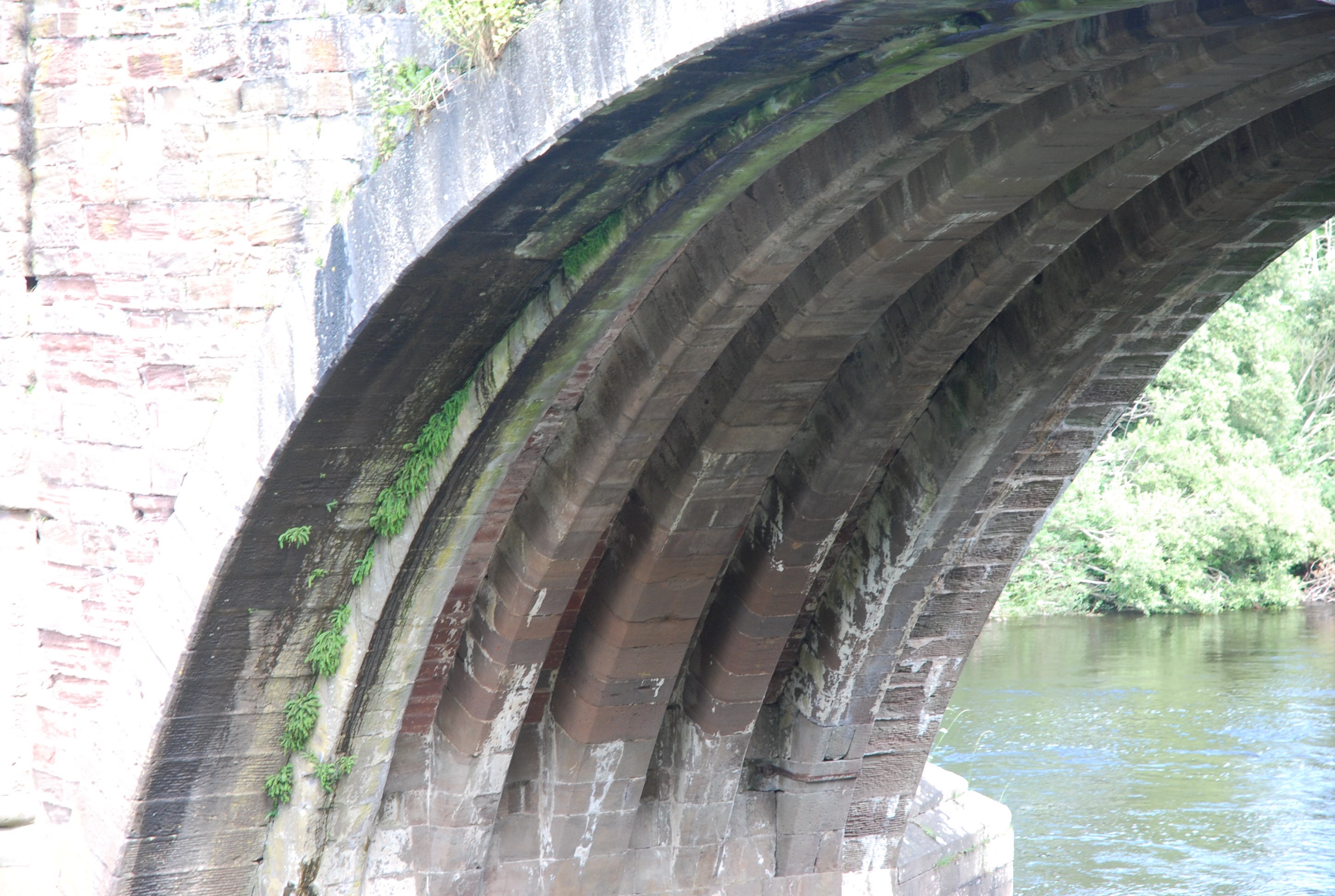
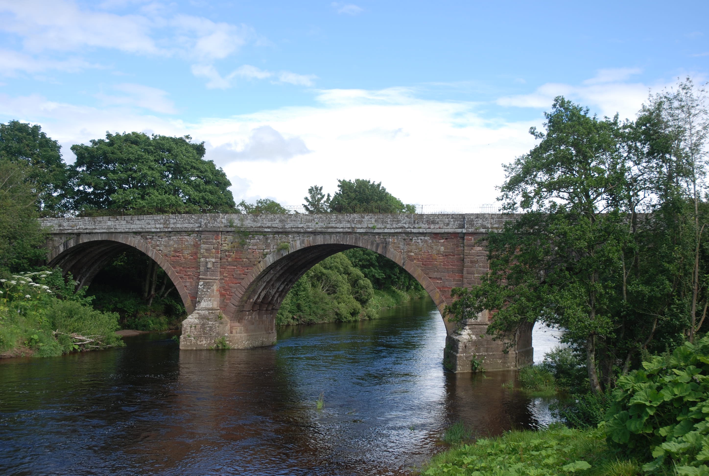
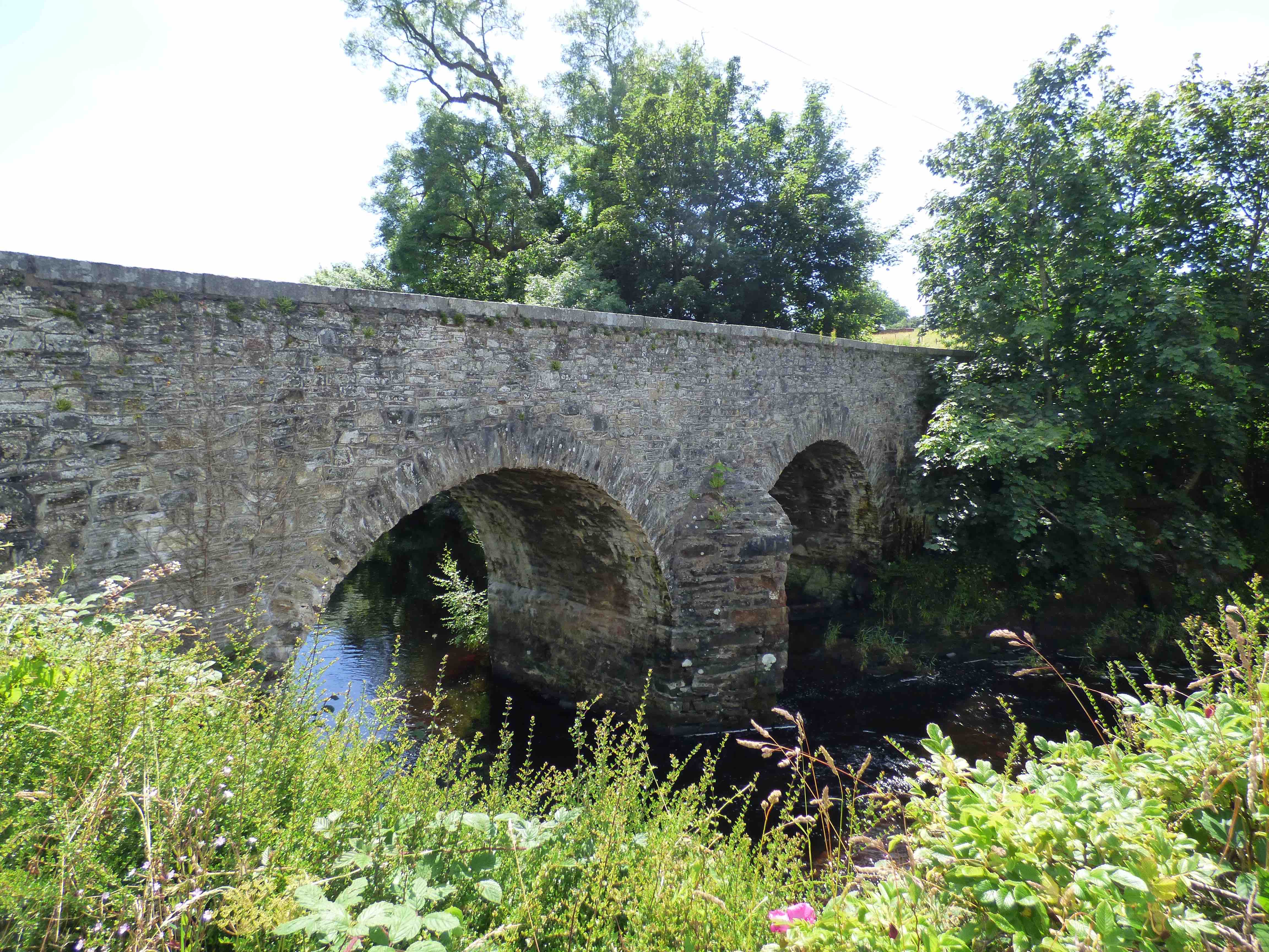
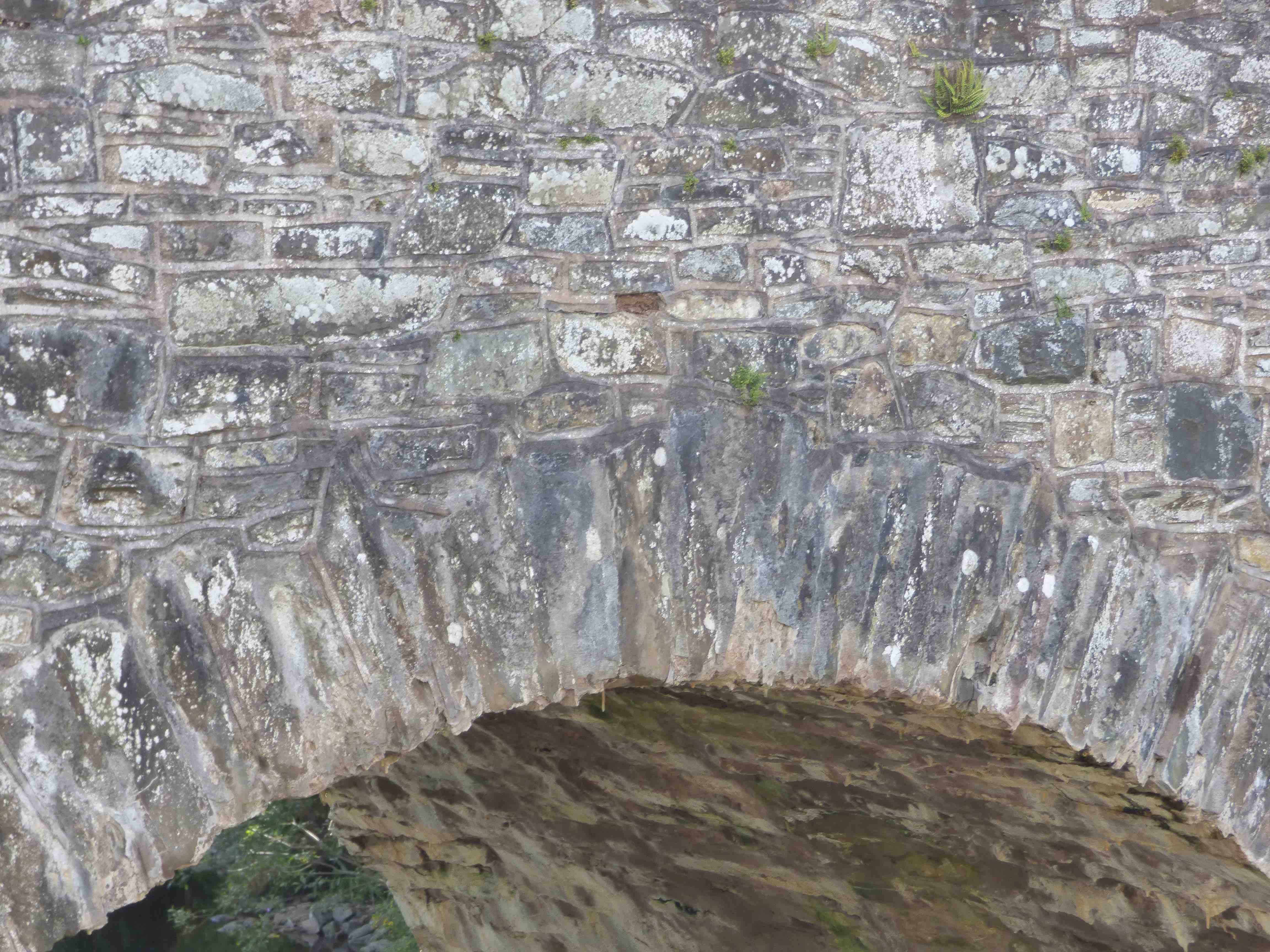
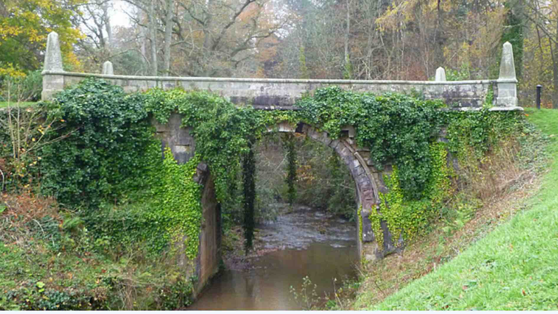